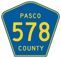
Factoring in overlaps with both County Road 577 along St. Joe Road and County Road 41 on 21st Street, Pasco County Road 578 measures 11.192 miles from near Darby to Dade City. The main leg of CR 578 follows St. Joe Road, a rural two lane highway leading east from CR 581 (Bellamy Brothers Boulevard) across I-75 to the settlement of St. Joseph and western reaches of the Dade City limits. The unsigned eastern leg links CR 41 (Blanton Road) with U.S. 98/301 north of Downtown Dade City via Lock Street. CR 578 is not marked along the 0.75 mile long section of CR 41 between St. Joe Road west and Lock Street east in Dade City.
|
| CR 578 (Lock Street) ends at U.S. 98/301 by an industrial area on the north side of Dade City. 02/27/17 |
|
| South from Lock Street, U.S. 98/301 split with 7th Street to bypass Dade City. North, U.S. 98/301 continue to Ridge Manor in Hernando County. 02/27/17 |
|
| A confirming marker for CR 578 along Lock Street was previously posted just west of U.S. 98/301. It was eventually removed during sidewalk construction. 10/18/08 |
|
| The unsigned branch of CR 578 commences along Lock Street west from U.S. 98/301 ahead of this distance sign for CR 41/541 to Spring Lake and Brooksville. 12/04/17 |
|
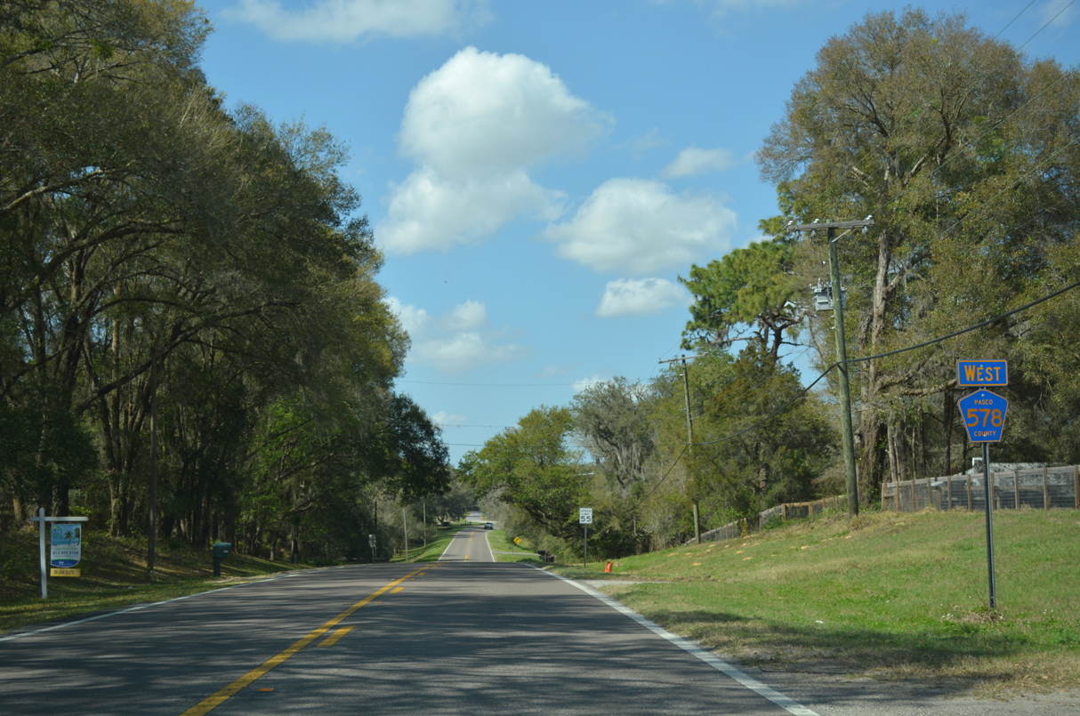
| Reassurance marker for County Road 578 west on St. Joe Road at 22nd Street. The initial stretch west from CR 41 (21st Street) in Dade City is also referred to as Suwanee Way. 08/13/18 |
|
| County Road 578 (St. Joe Road) passes north of Carter and Drew Lakes through a pastoral area beyond the Dade city limits. 08/13/18 |
|
| St. Joe Road next intersects County Road 579 (Happy Hill Road) south to St. Leo. 08/13/18 |
|
| Happy Hill Road ventures south between Dade City and St. Leo, intersecting SR 52. The county road continues from there to CR 54 (Eiland Boulevard) near Zephyrhills West, and along Morris Bridge Road southwest toward Tampa. 08/13/18 |
|
| CR 578 (St. Joe Road) shifts a quarter mile northward from CR 579 (Happy Hill Road) and Suwannee Lake. 02/27/17 |
|
| St. Joe Road gains 50 feet in elevation west from Robert Barn Road north and Old Mission Road south. 02/27/17 |
|
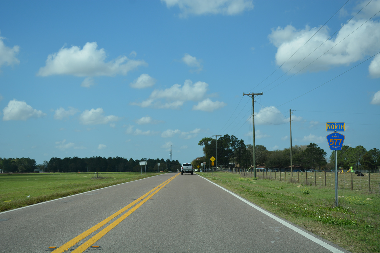
| CR 578 shifts a half mile further north ahead of CR 577 (Curley Road). 02/27/17 |
|
| CR 578 (St. Joe Road) converges with CR 577 at 232 feet above sea level at St. Joseph. 02/27/17 |
|
| CR 577 (Curley Road) travels 10.48 mile south to the city of San Antonio and SR 54 at Wesley Chapel. 02/27/17 |
|
| CR 577 north and CR 578 west overlap for 0.50 miles along St. Joe Road. 02/27/17 |
|
| CR 577 resumes a northward course 4.54 miles along Lake Iola Road to CR 41 near Middle Lake and the Hernando County line. 02/27/17 |
|
| CR 578 (St. Joe Road) extends another 4.35 miles from CR 577 (Lake Iola Road) and St. Joseph to CR 581 near Darby. 02/27/17 |
|
| Confirming marker posted west of CR 577 (Lake Iola Road) north. 02/27/17 |
|
| St. Joe Road runs across areas of ranch and timberland west from St. Joseph. 02/27/17 |
|
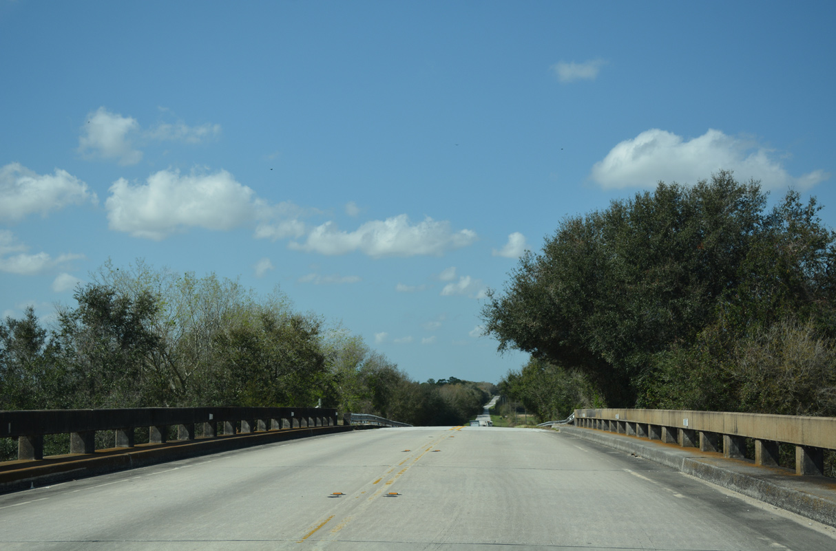
| CR 578 spans Interstate 75 across a bridge built in 1965. 02/27/17 |
|
| CR 578 (St. Joe Road) concludes at CR 581 (Bellamy Brothers Road) north of Darby. 02/27/17 |
|
| CR 581 (Bellamy Brothers Boulevard) heads 8.00 miles north from SR 52 to the Hernando County line en route to Brooksville. CR 578 ties into CR 581 just south of the Snowcat Ridge attraction. 02/27/17 |
Page Updated 03-13-2021.


 North
North  West
West