
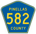
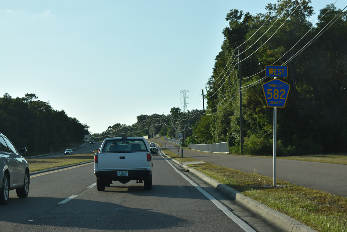
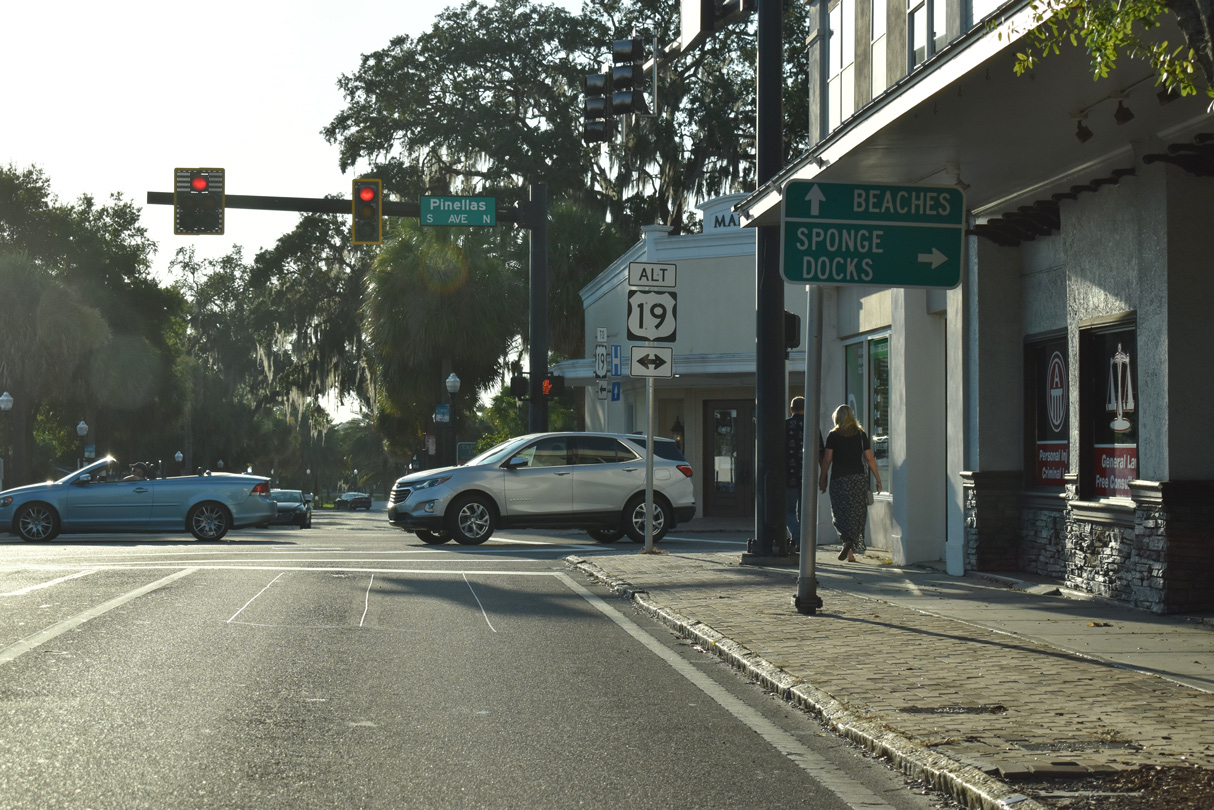
There are multiple segments of County Road 582 designated across Pinellas, Hillsborough and Polk Counties in the Tampa Bay Region. The western leg extends east along Tarpon Avenue and Keystone Road 5.84 miles from U.S. 19 at Tarpon Springs to the Hillsborough County line. Tarpon Avenue west to U.S. 19 Alternate (Pinellas Avenue) in Downtown Tarpon Springs was formerly State Road 582. Tarpon Springs Road east to Lake Fern, and Lutz Lake Fern Road between CR 587 (Gunn Highway) and U.S. 41 at Lutz was formerly a part of CR 582 in Hillsborough County.
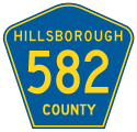
A 0.73 mile section of Bearss Avenue between Smitter Road and Lake Magdalene Boulevard at the Lake Magdalene community is designated as County Road 582. Lake Magdalene Boulevard south of Smitter Road was historically a part of CR 587A. Lake Magdalene Boulevard north around Platt Lake and east to U.S. 41 Business (Florida Avenue) represents a previous alignment of CR 582. Bearss Avenue further east is a part of SR 678 with shields acknowledging the route as CR 678 along both U.S. 41 (Nebraska Avenue) and U.S. 41 Business.
Florida State Road 582 lines Fowler Avenue 7.83 miles east from U.S. 41 Business (Florida Avenue) to U.S. 301 at Thonotosassa. The eastern leg of CR 582 originates from Fort King Highway near Lake Thonotosassa to the northeast along Knights Griffin Road. The initial 1.34 miles of Knights Griffin Road, from Stacy Road east to Flint Creek, is inventoried as CR 582. The remainder to Knights Station Road on the Polk County line is not.
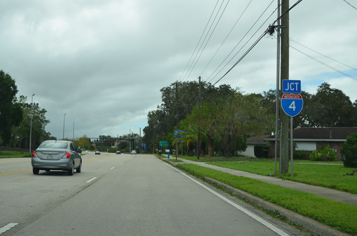
A entirely separate section of County Road 582 is designated west from SR 566 and Interstate 4 along Thonotsassa Road to N Forbes Road, and along Forbes Road to CR 580 (Sam Allen Road). This unmarked leg is 2.83 miles long.
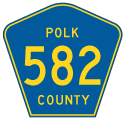
CR 582 resumes along Knights Station Road east to CR 35A (Kathleen Road) on the north side of Lakeland. This portion is signed, while CR 582 east along Griffin Road to N Florida Avenue and SR 33 (Lakeland Hills Boulevard) is not. The northern extent of CR 582 runs along N Socrum Loop Road from SR 33 and Interstate 4 to Old Polk City Road, and west to Marcum Road. The Polk County leg of CR 582 measures 10.23 miles in length.
 - East
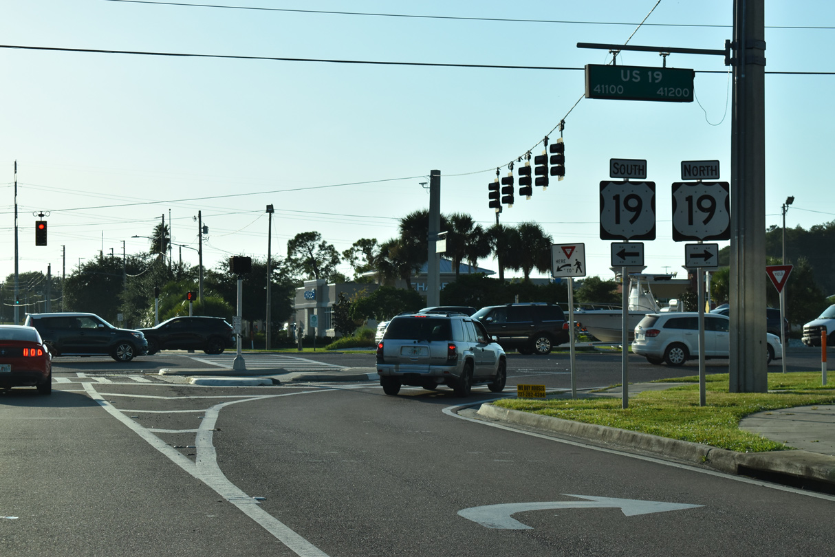
Remaining distance sign from when SR 582 was designated along Tarpon Avenue east of U.S. 19 Alternate (Pinellas Avenue) in Downtown Tarpon Springs.
10/07/15
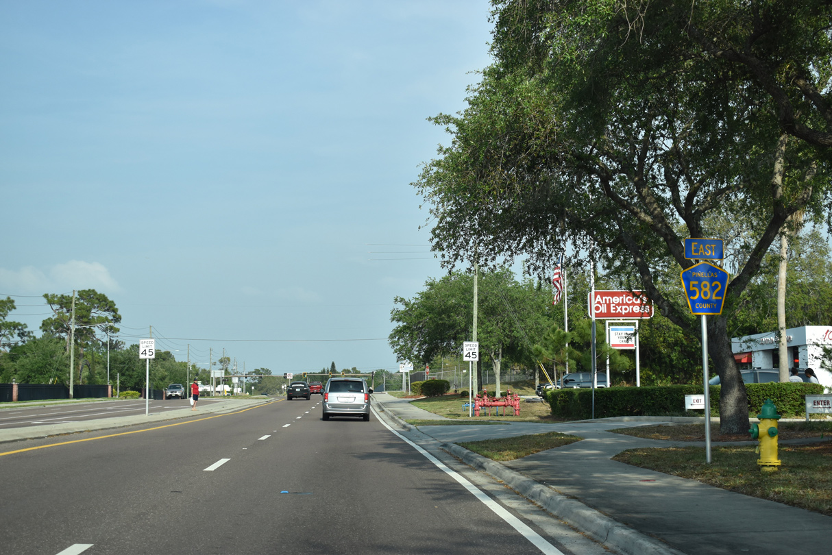
The first confirming marker for CR 582 along Tarpon Avenue appears east of U.S. 19.
04/14/20

04/14/20

Circumventing Lake Tarpon, CR 582 shifts onto Keystone Road ahead of CR 611 (East Lake Road).
04/14/20

CR 611 constitutes a major arterial route with CR 77 north to New Port Richey and south to East Lake, Oldsmar, Clearwater and St. Petersburg.
08/15/15

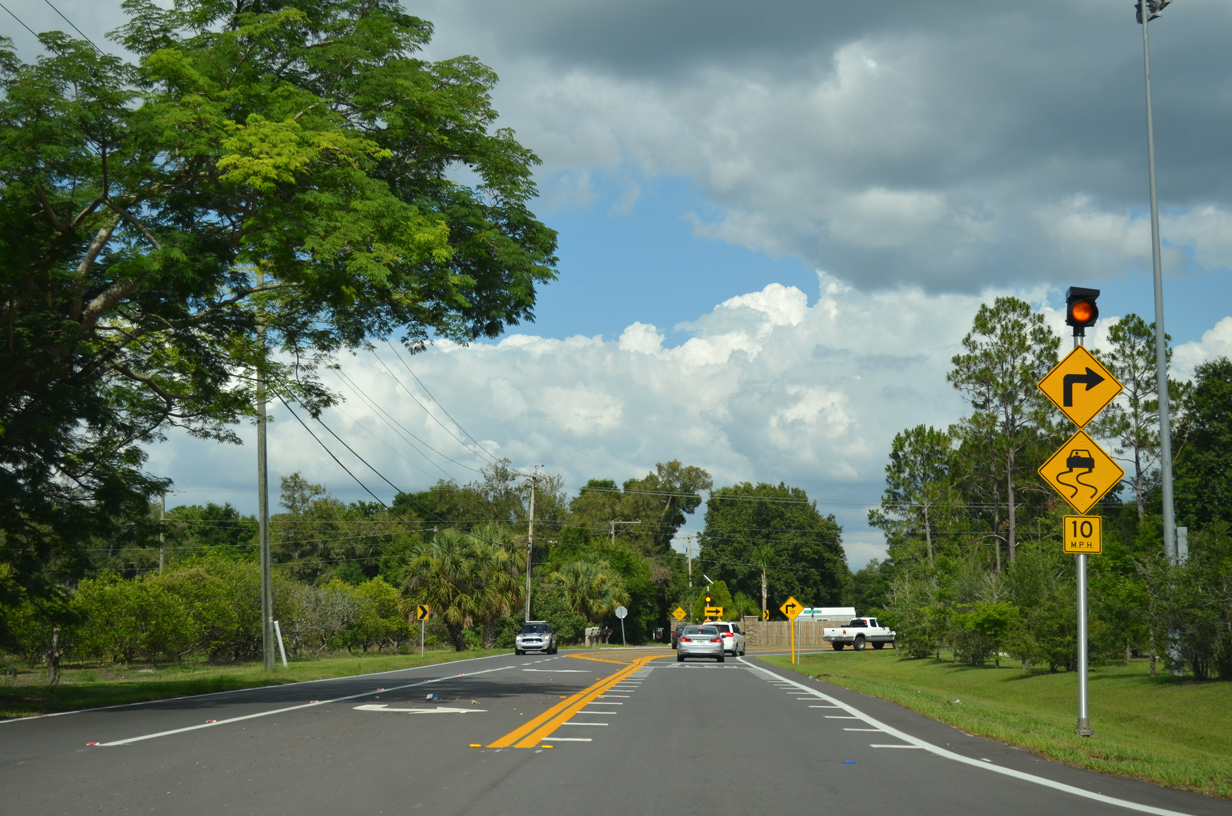
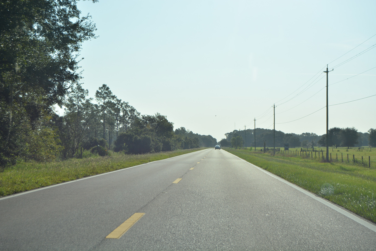
CR 582 (Keystone Road) reduces to a rural, two lane highway east of CR 611 (East Lake Road).
04/14/20

04/14/20

04/14/20

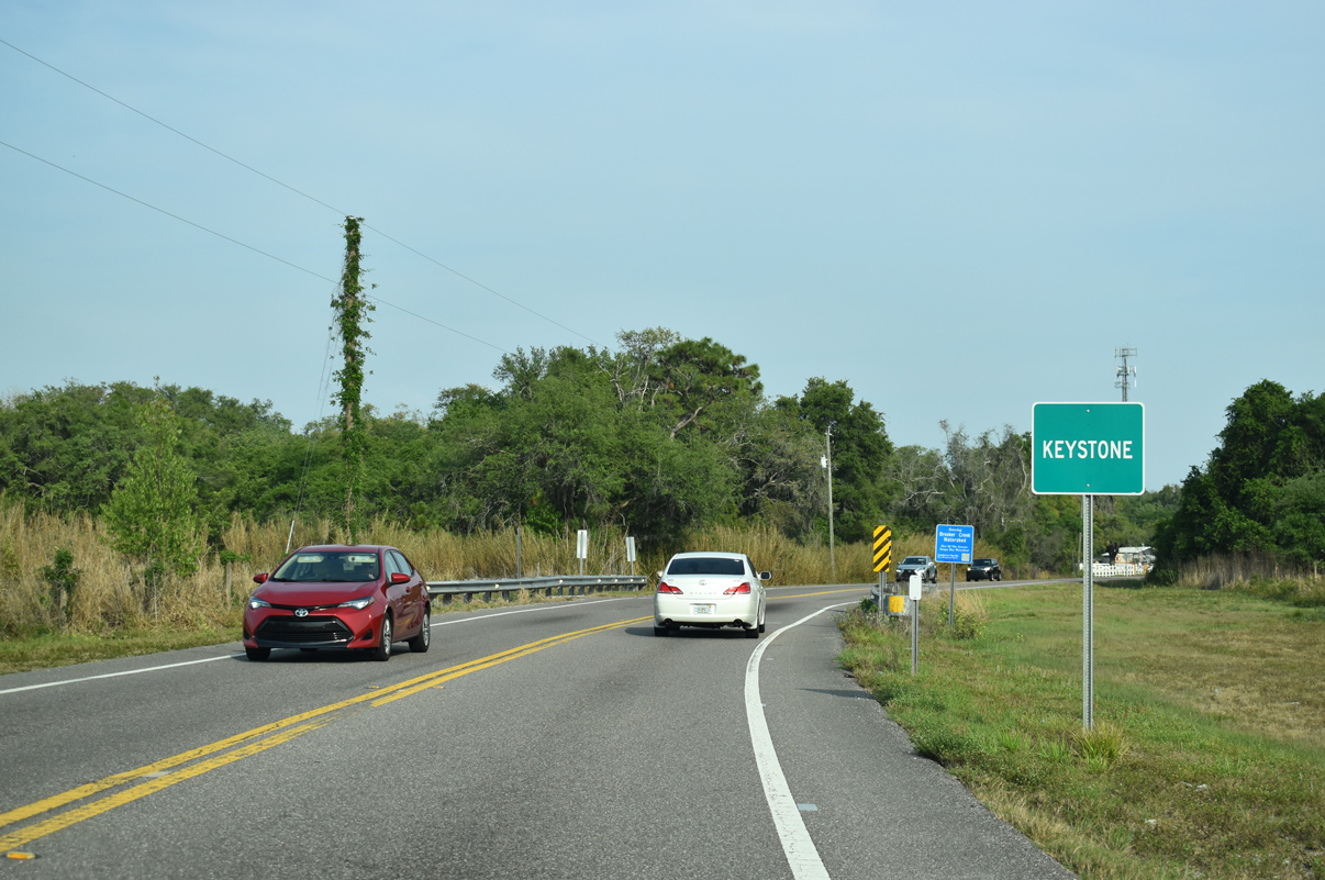
Tri County Trail, a multi use path, switches sides with CR 582 (Keystone Road) ahead of the Hillsborough County line.
04/14/20

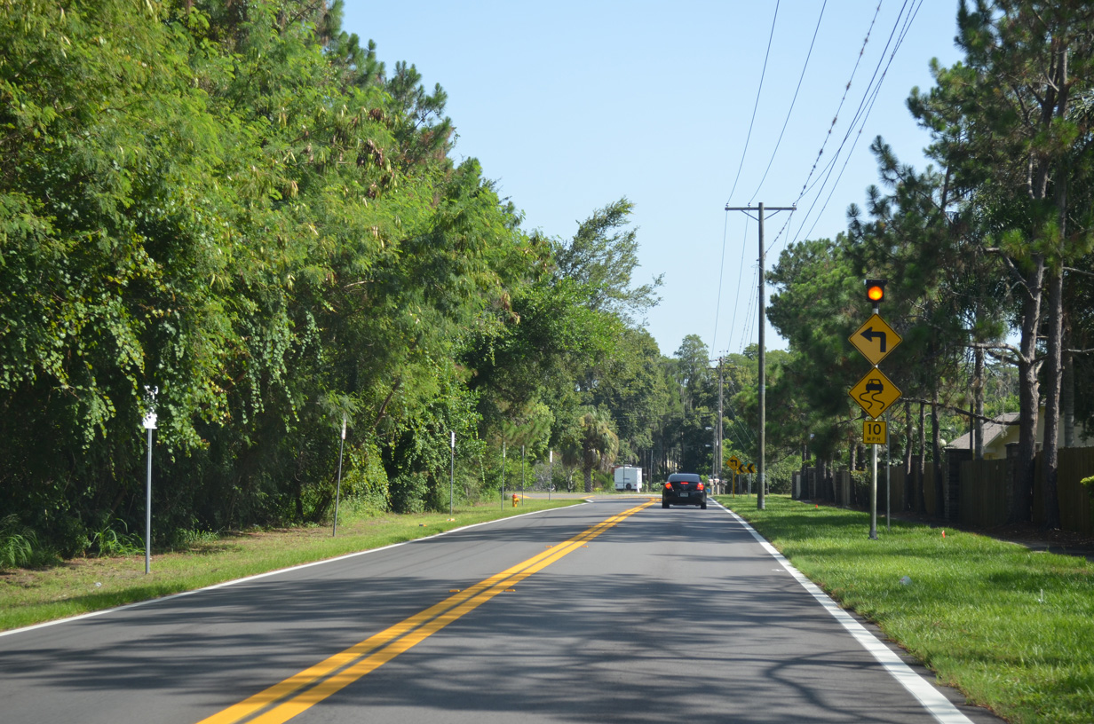
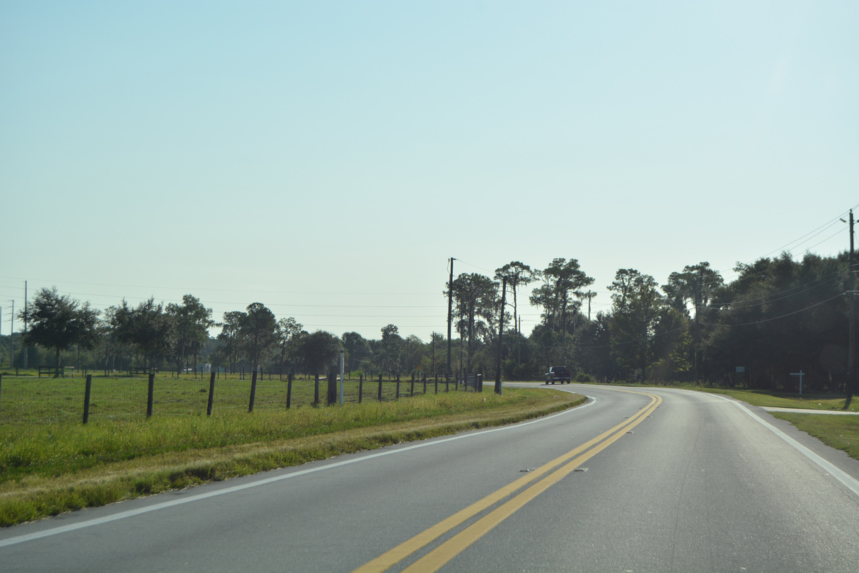
CR 582 along Keystone Road concludes eastbound at the Hillsborough County line. Tarpon Springs Road continues the route east to Keystone and Lake Fern.
04/14/20
04/14/20

Tarpon Springs Road east at Jorene Road near Lake Taylor.
05/29/15

Tarpon Springs Road ends at Gunn Highway (CR 587) at Lake Fern. Predating the completion of the exchange joining the Suncoast Parkway with Lutz Lake Fern Road, this SR 589 trailblazer references CR 587 south to Van Dyke Road (CR 685A) east.
04/14/20

CR 582 overlapped with CR 587 (Gunn Highway) north 0.6 miles to Lutz Lake Fern Road east. Gunn Highway continues northwest to Odessa and SR 54 in Pasco County.
04/14/20

Upper Tampa Bay Trail crosses Lutz Lake Fern Road at a pedestrian signal. The multi use trail was completed here in 2015.
04/14/20

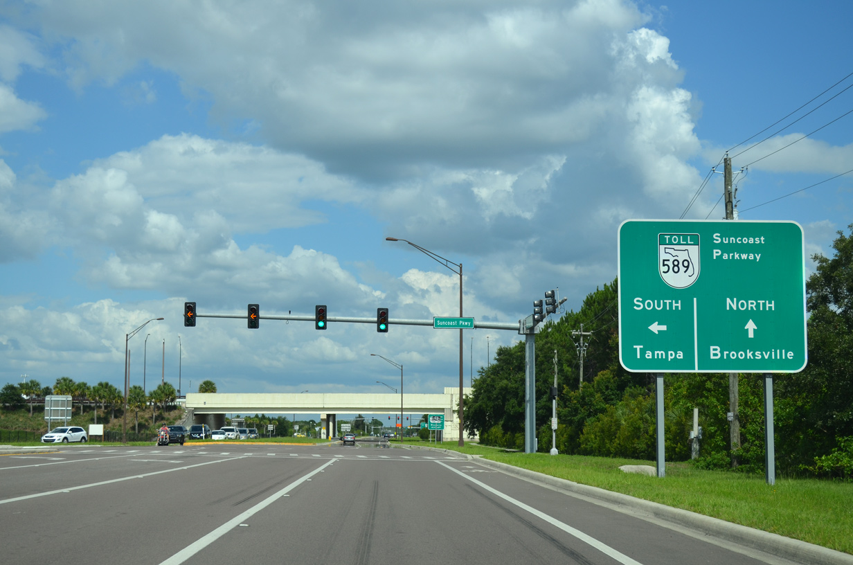
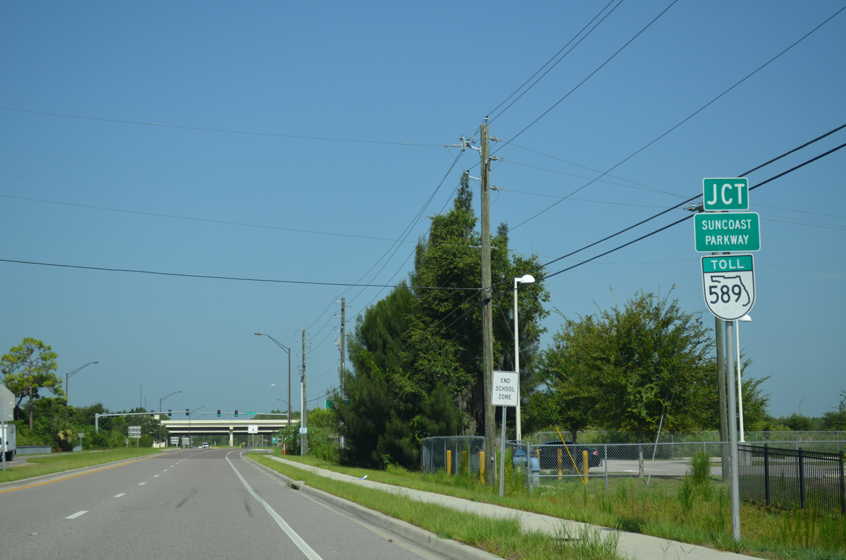
Lutz Lake Fern Road expands to four lanes through the folded diamond interchange with the Suncoast Parkway (SR 589).
04/14/20
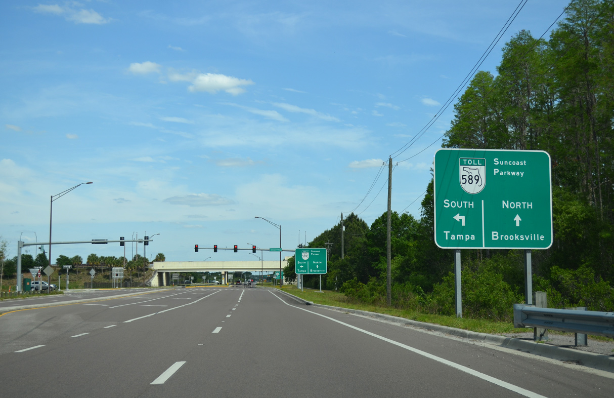
Guide signs for the Suncoast Parkway on Lutz Lake Fern Road were replaced in 2019.
04/20/16
SR 589 runs nearly 68 miles north from Tampa to SR 44 at Lecanto.
05/29/15

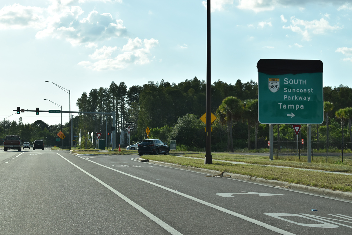
The toll road leads south as the Veterans Expressway from Lutz to SR 60 (Memorial Highway) by Tampa International Airport (TPA).
04/14/20

The interchange joining Lutz Lake Fern Road with the Suncoast Parkway opened to traffic on August 14, 2009.
04/14/20

Signs were switched following the Suncoast Parkway change to all electronic toll collection (AET) on February 1, 2020.
04/20/16

05/29/15

SR 589 travels north across Pasco County to Brooksville in Hernando County and Homosassa Springs in Citrus County.
04/14/20
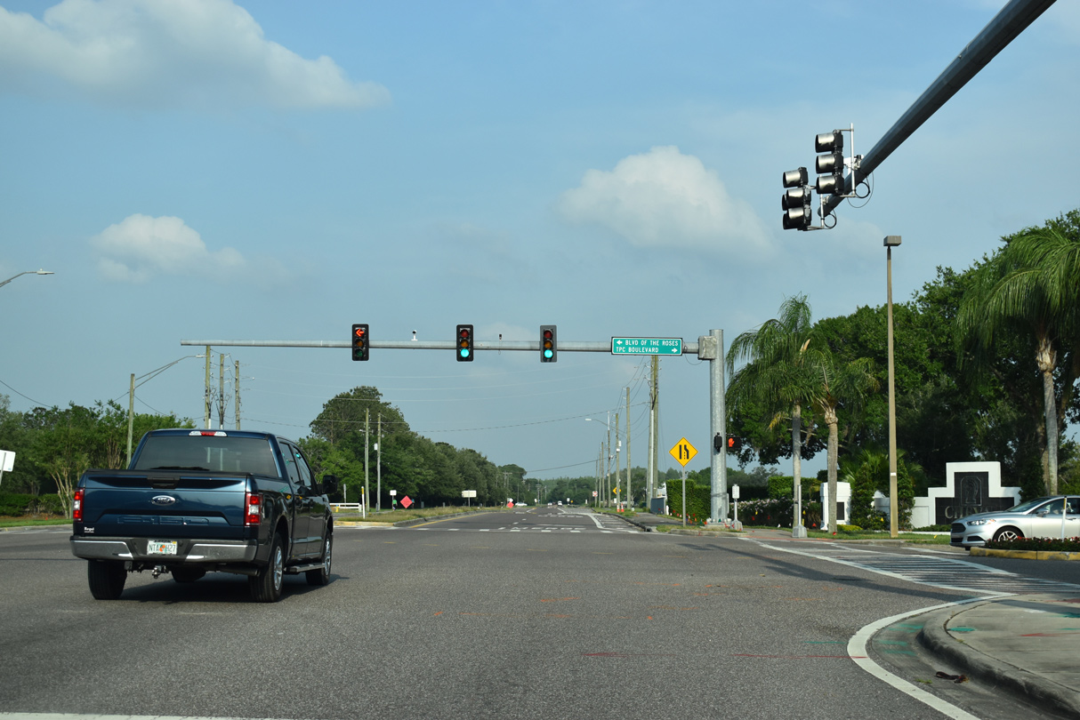
Lutz Lake Fern Road reduces to two lanes again beyond the signal with Boulevard of the Roses north and TPC Boulevard south.
04/14/20

Sunlake Boulevard is a landscaped parkway winding north from SR 597 (Dale Mabry Highway) to suburban development along SR 54 in Pasco County.
04/14/20

Lutz Lake Fern Road navigates through an S-curve between Lake Allen and SR 597 before crossing Dale Mabry Highway. Right of way at this intersection was reserved for an unbuilt grade separation.
04/20/16
Lutz Lake Fern Road takes a stair stepped route east from Dale Mabry Highway to U.S. 41 in Lutz. The third of four 90 degree turns takes the road south around the Oscar Cooler Sports Complex.
05/29/15

Lutz Lake Fern Road ends at U.S. 41 in the center of unincorporated Lutz.
05/29/15
Lutz Lake Fern Road turns north and than west around the Oscar Cooler Sports Complex.
07/03/15
Lutz Lake Fern Road makes a third 90 degree turn north beyond Tracy Court and the Oscar Cooler Sports Complex.
07/03/15
Heading west from Lake Brooker, Lutz Lake Fern Road crosses SR 597 (Dale Mabry Highway). SR 597 runs north to U.S. 41 at Land O' Lakes and south to Carrollwood.
08/23/16

07/03/15

07/03/15
07/03/15

07/03/15

09/28/19
09/28/19

09/28/19
Tarpon Springs Road (former CR 582) leading west from CR 587 (Gunn Highway) at Lake Fern.
08/23/17

09/28/19

09/28/19
09/28/19

09/28/19

09/28/19

09/28/19
09/28/19
West
09/28/19

09/28/19

09/28/19
09/28/19

09/28/19

Heading east toward the Thonotosassa street grid along Main Street from the four way stop with CR 579 (Mango Road).
09/07/16

Main Street in Thonotosassa concludes east at Fort King Highway north to CR 582 (Knights Griffin Road) and Taylor Road south to CR 580 (Thonotosasssa Road).
09/07/16
Approaching Charlie Taylor Road on Knights Griffin Road east ahead of the Polk County line.
09/07/16

Knights Griffin Road becomes CR 582 (Knights Station Road) east across the county line.
09/07/16
CR 582 (Knights Station Road) east of Shady Oak Drive E just into Polk County.
09/07/16
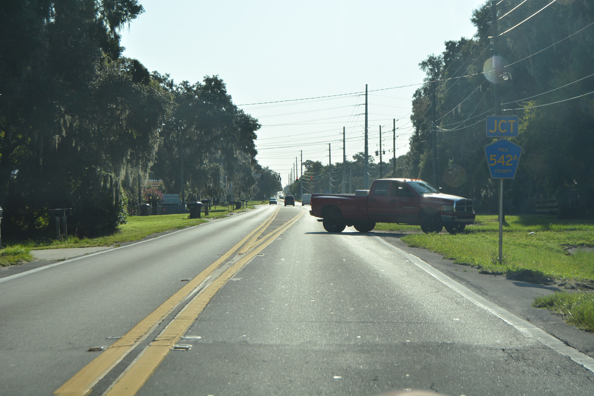
CR 582 (Knights Station Road) intersects CR 542A (Galloway Road) south of Galloway.
09/07/16

A 4.89 mile long route, CR 542A (Galloway Road) heads south across I-4 to U.S. 92 (New Tampa Highway) at SR 572 (Airport Road) near Winston.
09/07/16

The first reassurance marker for CR 582 east along Knights Station Road.
09/07/16

Kathleen Road (CR 35A) angles southeast from Kathleen to Interstate 4 at SR 539. CR 582 continues along Griffin Road east from CR 35A.
09/07/16

Mall Hill Road loops northeast from Kathleen Road (CR 35A) to the backside of Lakeland Square Mall and Sleepy Hill Road.
09/07/16
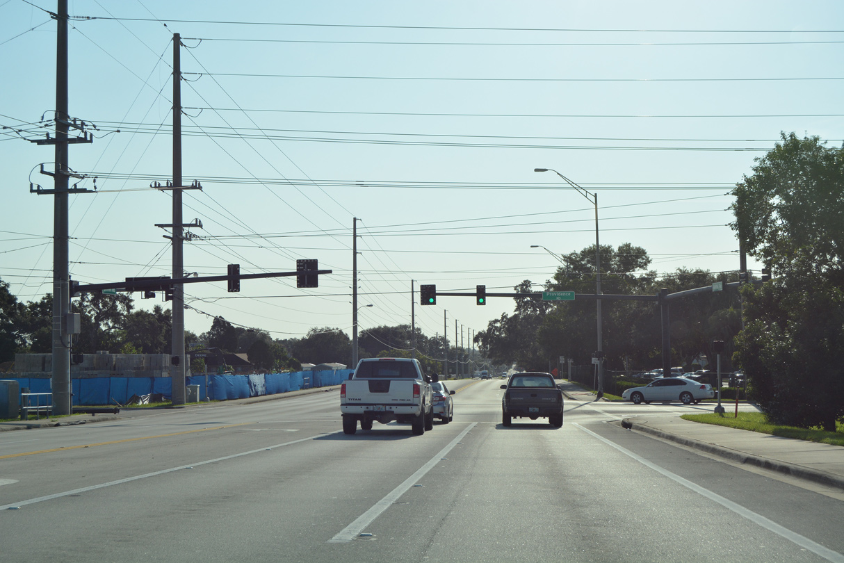
Crossing Interstate 4, CR 582 (Griffin Road) approaches Providence Road south in Lakeland.
09/07/16
09/07/16

09/07/16
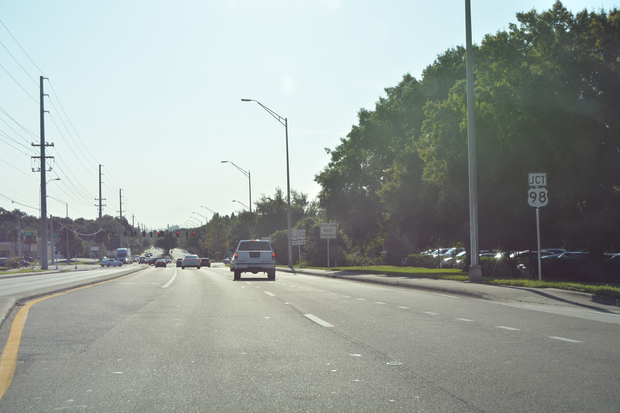
CR 582 makes an unmarked turn from Griffin Road north onto Florida Avenue.
09/07/16
Griffin Road concludes just east of N Florida Avenue at SR 33 (Lakeland Hills Boulevard).
09/07/16
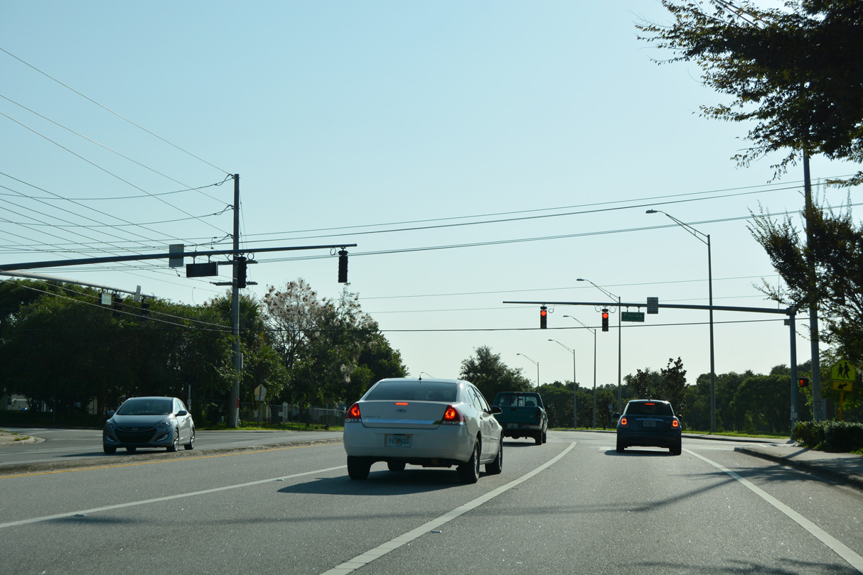
CR 582 along N Florida Avenue branches west from SR 33 through a residential area of Lakeland southward to Griffin Road.
05/22/20
05/22/20
05/22/20

05/22/20

05/22/20

05/22/20

CR 582 (Knights Station Road) crosses a CSX Railroad line at-grade west from CR 35A (Kathleen Road).
05/31/16

09/11/17

09/11/17

03/18/21

05/31/16

CR 582 along Knights Station Road concludes at the Hillsborough County line. Knights Griffin Road continues the rural highway west toward Thonotosassa.
09/11/17

Knights Griffin Road crosses Itchepackesassa Creek just ahead of Charlie Taylor Road south to U.S. 92 at Youmans.
05/31/16
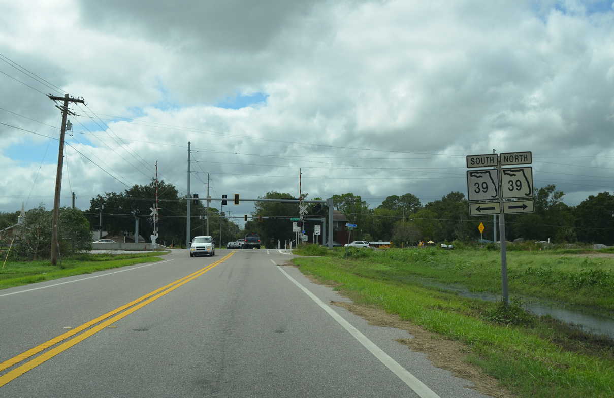
SR 39 (Paul Buchman Highway) crosses paths with Knights Griffin Road at Knights. The state road travels north to Zephyrhills and south into Plant City.
09/11/17

05/31/15
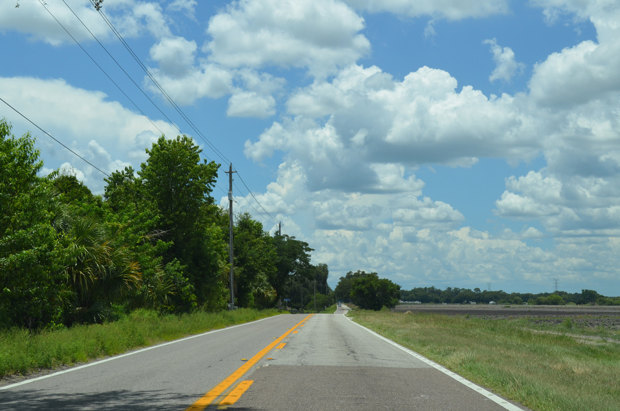
Farmland spreads along the north side of Knights Griffin Road in this scene west of Vann Road.
05/31/15

Cork Road joins Knights Station Road with Sam Allen Road (CR 580) and Thonotosassa Road (CR 582) northwest of Plant City.
05/31/15

05/31/15

05/31/15

McIntosh Road runs north to U.S. 301 and south to Thonotosassa Road (CR 580) at Antioch and Interstate 4 near Dover.
11/13/16

Knights Station Road (CR 582) westbound at Flint Creek.
05/31/15

Stacy Road links CR 582 (Knights Station Road) with U.S. 301 just to the north.
05/31/15

Knights Griffin Road becomes Fort King Highway south from Stacy Road into Thonotosassa.
05/31/15

Paralleling Lake Thonotosassa to the west, Fort King Highway advances south past Florence Avenue toward Main Street.
05/31/15
Fort King Highway at Main Street west and Taylor Road south. Unsigned CR 580 on Thonotosassa Road begins in four tenths of a mile from Taylor Road.
05/31/15

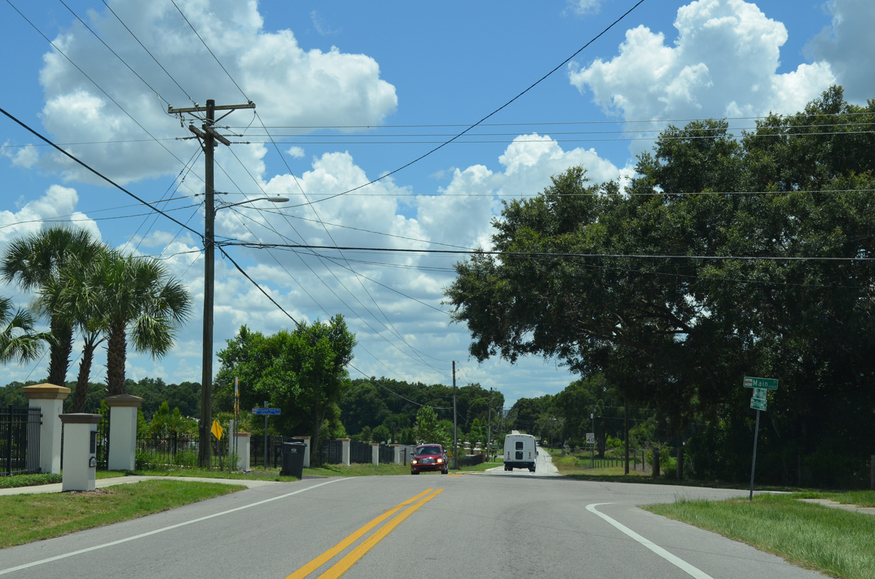
Main Street stems west from Fort King Highway to a four-way stop sign with CR 579 (Mango Road). Continuing from here, Main Street leads to Fowler Avenue east of U.S. 301 and SR 582.
05/31/15

Socrum Loop Road overtakes Marcum Road east from Pearce Road. This intersection represents the north end of CR 582.
09/11/17

N Socrum Loop Road turns south toward Interstate 4, 0.6 miles east of Pearce Avenue at Grady Mock Road.
09/11/17

Old Polk City Road extends east from the turn of N Socrum Loop Road (CR 582) to Walt Williams Road.
09/11/17

09/11/17

09/11/17
Old Combee Road provides a cutoff from N Socrum Loop Road (CR 582) to SR 33 (Lakeland Hills Boulevard) northbound.
09/11/17
RIRO ramps connect N Socrum Loop Road with Interstate 4 westbound.
09/11/17

09/11/17

09/11/17

09/11/17

The ramps with I-4 tie into CR 582 (N Socrum Loop Road) across from Lake Gibson Park.
09/11/17

CR 582 converges with SR 33 (Lakeland Hills Boulevard) just beyond the I-4 over crossing.
09/11/17

09/11/17
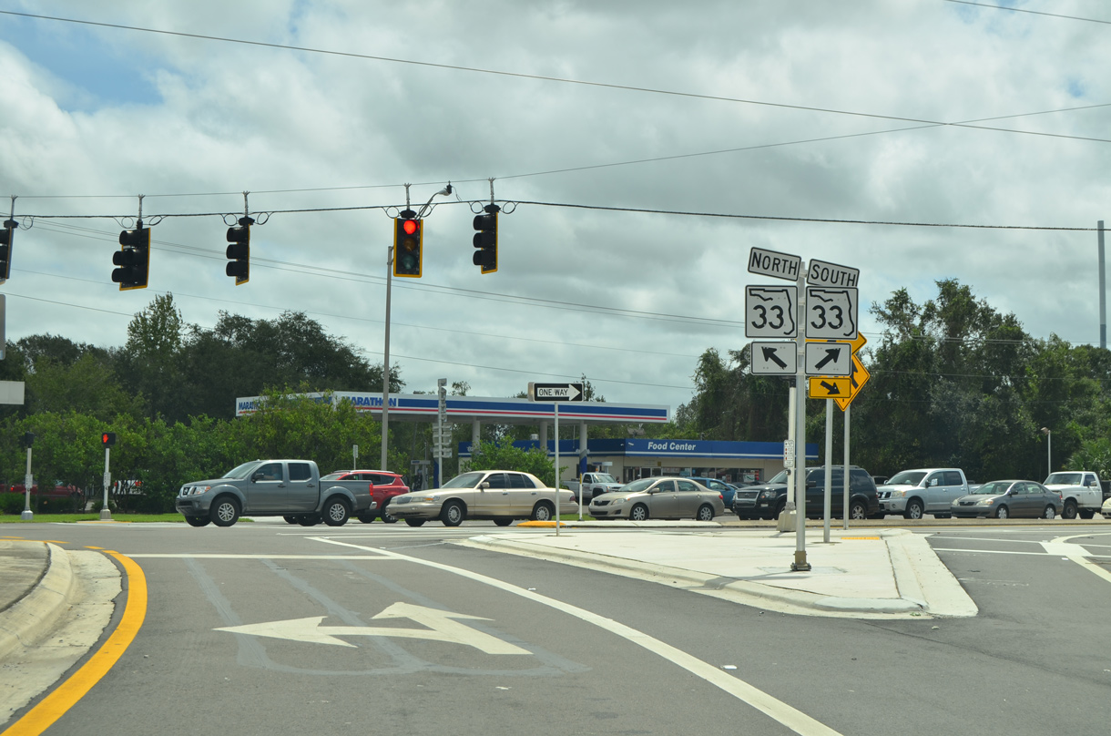
Socrum Loop Road ends at SR 33 adjacent to the continuation of unsigned CR 582 along N Florida Avenue.
09/11/17
Connect with:
Interstate 4
U.S. 19
U.S. 41
U.S. 98
U.S. 301
U.S. 41 Business - Tampa
U.S. 19 Alternate
State Road 33 / County Road 33
State Road 39
State Road 39A - Paul Buchman Highway
State Road 589 - Veterans Expwy / Suncoast Pkwy
State Road 597 - Dale Mabry Highway
Polk County Road 35A
County Road 542A
County Road 587 - Gunn Highway
Page Updated 03-18-2021.