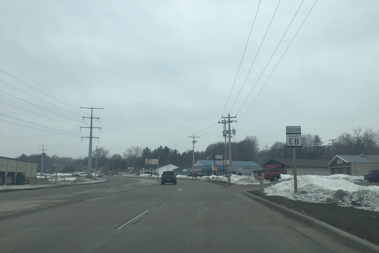
County EB serves western areas of Green Bay and Ashwaubenon and the village of Howard along a 15.6 mile long course from County F near De Pere to the U.S. 41/141 overpass along Lakeview Drive. County J extends Lakeview Drive north from there. The bulk of CTH-EB consists of an arterial or suburbanized roadway as it connects an array of subdivisions with industrial areas west of I-41 in Green Bay and the Austin Straubel International Airport (GRB) vicinity.
|
| County EB turns south from Woodale Avenue onto Cardinal Lane at this roundabout in Howard. 02/23/16 |
|
| Cardinal Lane travels through a residential area of Howard. 02/23/16 |
|
| Progressing south, CTH-EB (Cardinal Lane) intersects Glendale Avenue this traffic light. 02/23/16 |
|
| County EB becomes a four lane undivided roadway beyond Glendale Avenue. 02/23/16 |
|
| Drivers along CTH-EB (Cardinal Lane) south enter a roundabout with Preservation Way. Preservation Way was built in 2015 to serve a new mixed use development. 02/23/16 |
|
| County J begins and leads west from County EB along Riverview Drive to Hobart and Oneida. 02/23/16 |
|
| Cardinal Drive forms a boulevard south from County J. A lighted street sign appears above County EB at Howard Avenue, which serves a number of businesses west and north back to Riverview Drive. 02/23/16 |
|
| South of Duck Creek, CTH-EB reaches the first of four consecutive roundabouts. Tying into Cardinal Lane here is Elmhurst Avenue east and Duck Creek Parkway west. 02/23/16 |
|
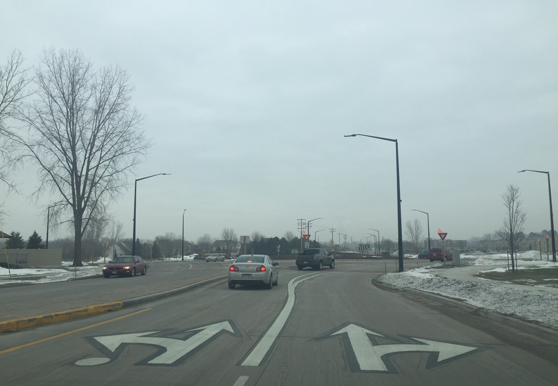
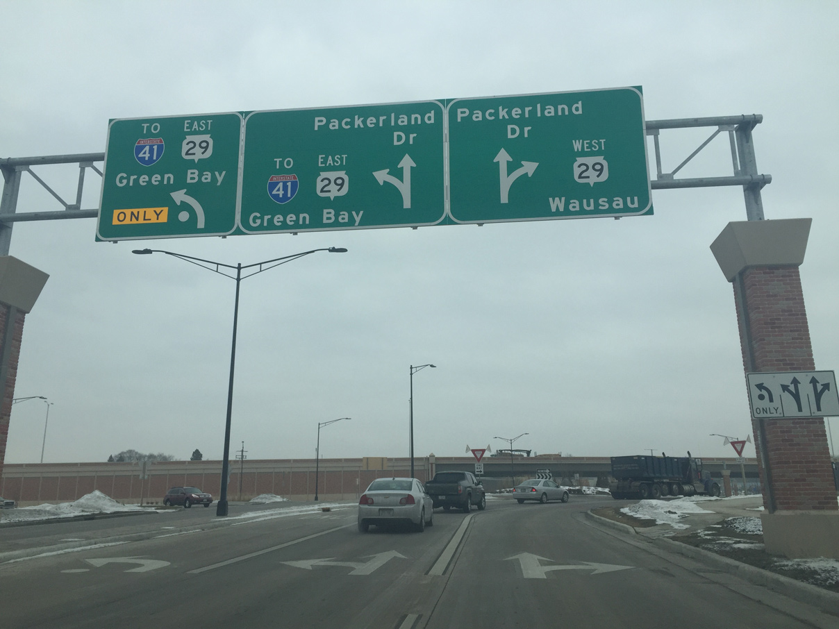
| Next along CTH-EB south is the roundabout with Wis 29 (Shawano Avenue). Turning left takes drivers onto Shawano Avenue (Wis 29 east) while traffic turning right leads onto the Wis 29/32 freeway. This is a half diamond interchange so traffic wanting to access I-41 must travel east on Shawano Avenue as there is no eastbound access to the adjacent Wis 32 freeway. County EB also becomes Packerland Drive at this location. 02/23/16 |
|
| Wis 29 west transitions from Shawano Avenue onto a freeway alongside Wis 32. The pair straddle the Howard and Hobart village line to the town of Pittsfield. 02/23/16 |
|
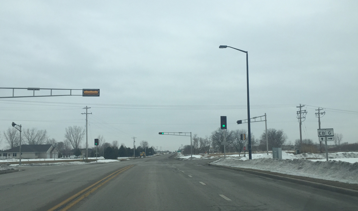
| Beyond the roundabout with the Wis 29 eastbound off-ramp from Wis 32, County EB quickly enters the roundabout with Badgerland Drive east and County RK west. County RK is a newly built frontage road along Wis 29/32 that provides access to Pamperin Park and County J. 02/23/16 |
|
| A reassurance sign for County EB appears as Packerland Drive departs the roundabout with County RK. 02/23/16 |
|
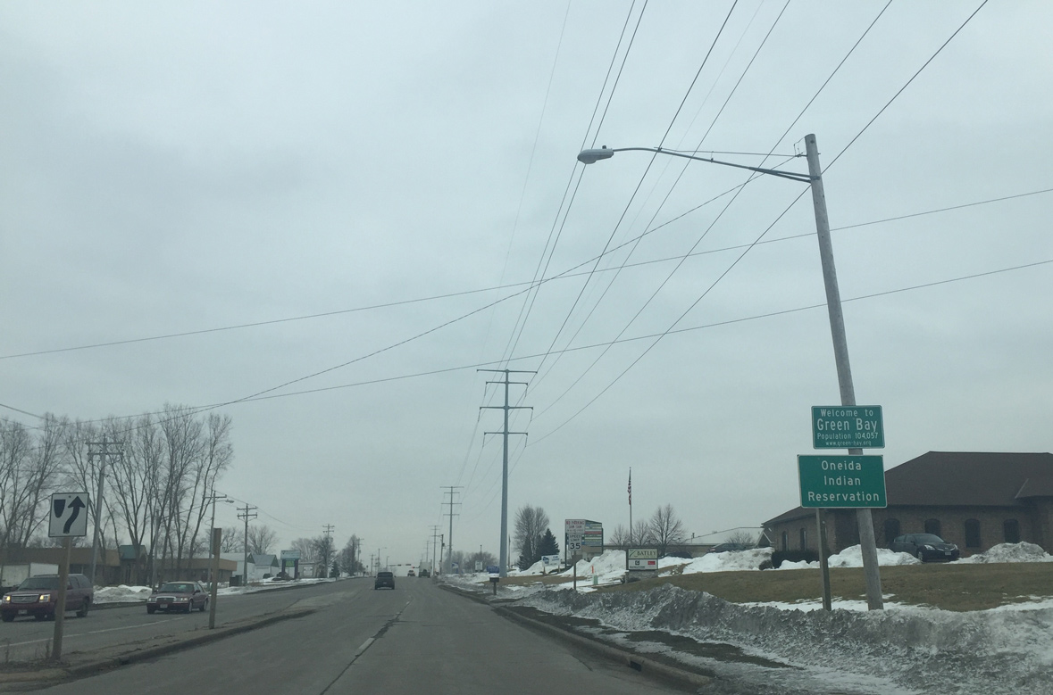
| A short distance further south, CTH-EB enters both Green Bay and the Oneida Reservation. 02/23/16 |
|
| CTH-EB south at the intersection with Century Road and the main Green Bay post office. All of the mail in Northeast Wisconsin is processed at this facility. 02/23/16 |
|
| A quarter mile further south, CTH-EB intersects Larsen Road. Larsen Road provides access to Northeast Wisconsin Technical College and the Green Bay Botanical Gardens. 02/23/16 |
|
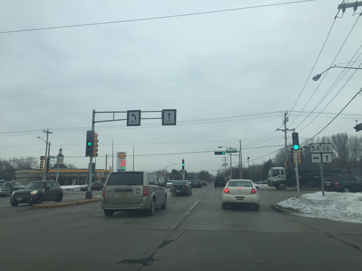
| Wis 54 (West Mason Street) crosses paths with County EB (Packerland Drive). The state trunk highway lines a controlled access arterial east to Interstate 41 and the Firemans Park neighborhood of Green Bay and west to Fritsch Park and the Hobart village line. 02/23/16 |
|
| County EB (Packerland Drive) transitions back into a boulevard ahead of Southwest High School and the Marquette Park residential area. 02/23/16 |
|
| Southbound at the Intersection with West Point Drive. East of here, West Point Drive turns into 9th Street through the Firemans Park and Colburn neighborhoods on the west side of Green Bay. 02/23/16 |
|
| Hazelwood Lane takes County VK east from Packerland Drive through the Marquette Park neighborhood to Interstate 41, where Lombardi Avenue takes over as a four to six lane arterial to Lambeau Field. 02/23/16 |
|
| Cormier Road intersects County EB (Packerland Drive) as southbound motorists enter the village of Ashwaubenon. 02/23/16 |
|
| County EB travels across undeveloped land near the airport and the National Weather Service. 02/23/16 |
|
| Wis 172 extends west from a freeway at I-41 along Airport Drive to intersect CTH-EB (Packerland Drive) here. The controlled access arterial portion of the trunk highway ends to the west beyond the terminal entrance to Austin Straubel International Airport (GRB). The overall 11.6 mile route ends at Oneida to the west and Bellevue to the east.
An interchange is proposed to be built at this location in the future. 02/23/16 |
|
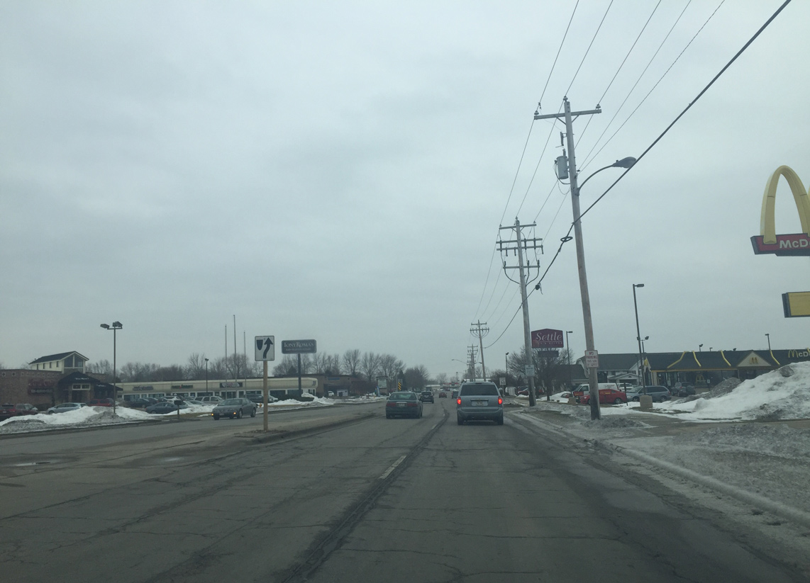
| County EB enters a commercial area to the south of STH-172 and the airport perimeter. 02/23/16 |
|
| South after Paulson Road, CTH-EB (Packerland Drive) crosses into the village of Hobart. The west side of the road is Hobart while the east is Ashwaubenon. 02/23/16 |
|
| Waube Lane east doubles as County AAA from County EB through Ashwaubenon. County AAA turns north and becomes Oneida St after I-41 and is the main commercial corridor in the Green Bay Area. It ends at Lambeau Field. 02/23/16 |
|
| Advancing southwest, CTH-EB (Packerland Drive) travels through the Ashwaubenon Business Park. 02/23/16 |
|
| Main Avenue heads southeast from Packerland Drive to Interstate 41 and Wis 32 in De Pere. County G is the main east west roadway across De Pere, as the trunk highway runs concurrent with Wis 32 across the only Fox River crossing within the city. 02/23/16 |
|
| CTH-G continues west from CTH-EB along Fernando Drive to CTH-GE within Hobart and the Oneida Indian Reservation. 02/23/16 |
|
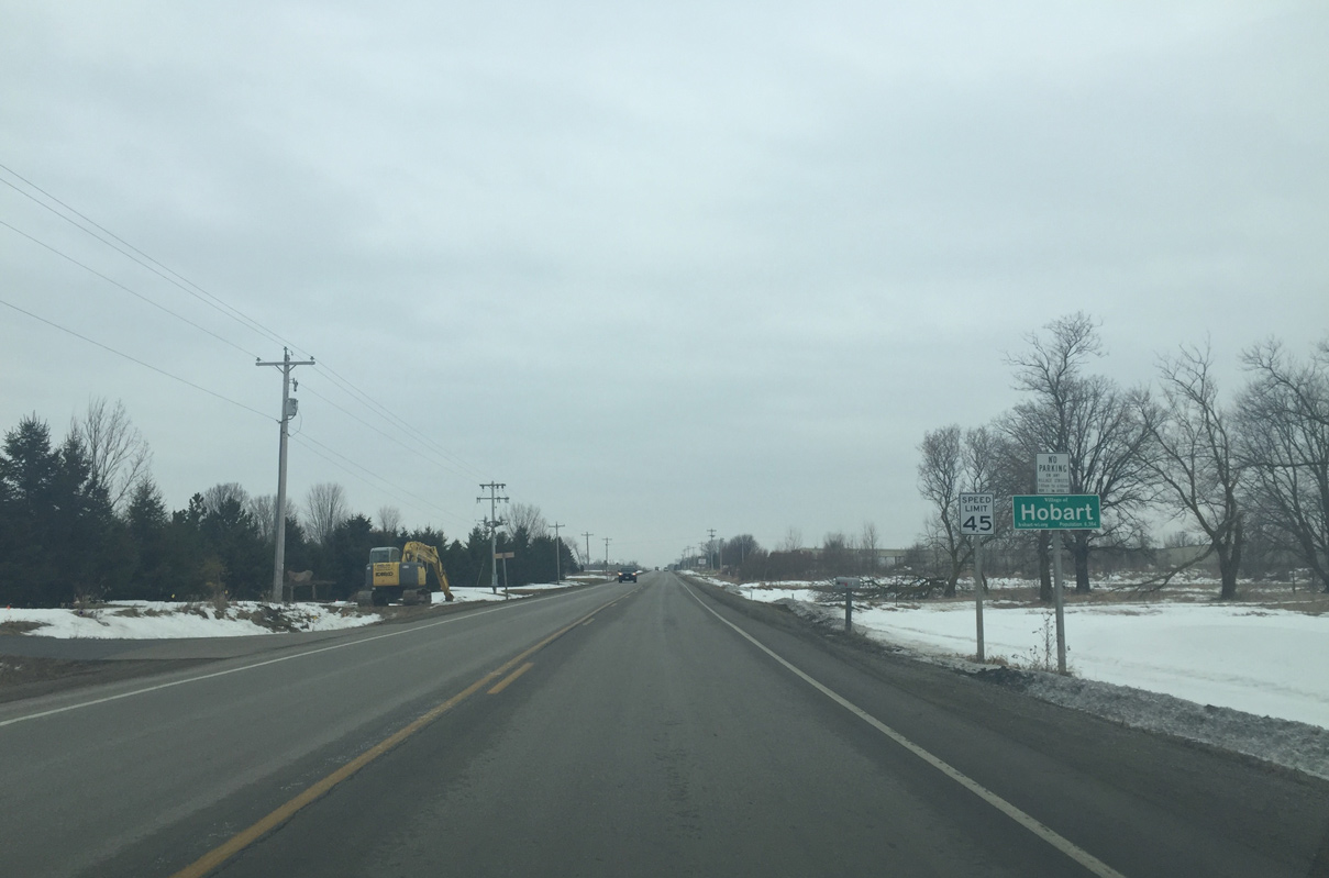
| County EB transitions into a two lane rural roadway and enters the edge of Hobart again. 02/23/16 |
|
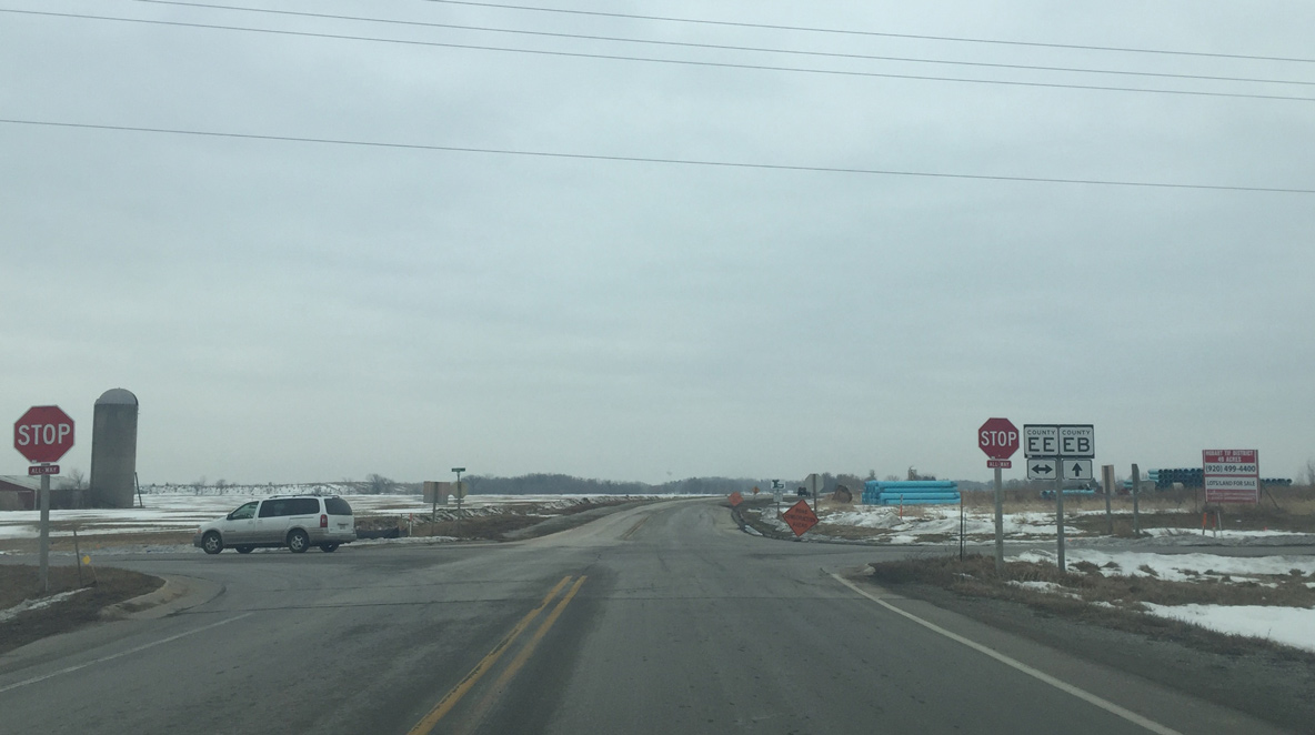
| Southbound CTH-EB intersects CTH-EE (Grant Street) at the southwestern corner of Ashwaubenon. CTH-EE travels east into De Pere and west to Five Corners in rural Outagamie County. 02/23/16 |
|
| New developments in Hobart are taking over farm fields to the west of County EB (Packerland Drive). 02/23/16 |
|
| County EB ends at the intersection with Hart Gravel Road west and Scheuring Road (CTH-F) east. CTH-F overtakes the ending Packerland Drive south along Williams Grant Drive. 02/23/16 |
|
| County F east serves a fast growing area of West De Pere and provides industrial park access to I-41. The trunk highway south parallels Interstate 41 to CTH-S near Little Rapids. 02/23/16 |
Page Updated 03-07-2016.