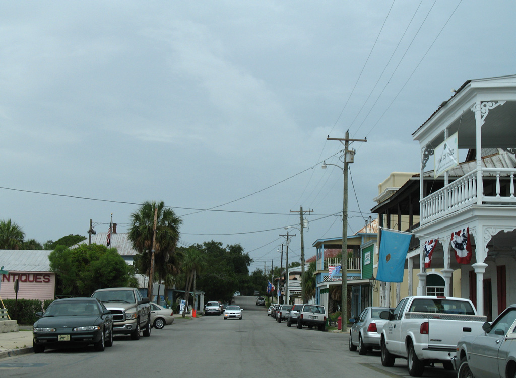
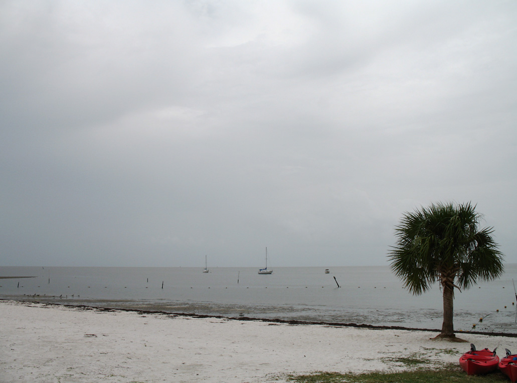
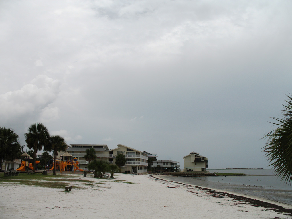
SR 24 ends at D and 2nd Streets, one block off the Gulf of Mexico in the city of Cedar Key.
State Road 24 originates at Cedar Key on the Gulf of Mexico and travels northeast 72.6 miles to Waldo. Outside of Gainesville, the highway is mostly rural, connecting U.S. 19/98 at Otter Creek with the Levy County seat of Bronson at U.S. 27 Alternate.
Within Alachua County, SR 24 angles northeast from Archer, where it meets U.S. 27/41, to I-75 and the University of Florida (UF). SR 24A provides a truck route bypass around UF and central Gainesville alongside SR 226 (SW/SE 16th Avenue) and SR 331 (11th Street) north. SR 24 combines with U.S. 441 (SW 13th Street) north from Archer Road and SR 26 (University Avenue) east through Downtown Gainesville. Leaving Gainesville, SR 24 bee lines northeast along Waldo Road to Gainesville Regional Airport (GNV) and U.S. 301.
|
| 2nd Street west at B Street, one block from City Park and two blocks ahead of the SR 24 eastbound beginning in Cedar Key. 07/31/06 |
|
| 2nd Street at Cedar Key City Hall and C Street. SR 24 follows D Street block block to the west. 07/31/06 |
|
| SR 24 follows D Street north from 2nd Street by the Cedar Key Historical Museum. 07/31/06 |
|
| The first confirming marker for State Road 24 east stands on the block of D Street between 2nd and 3rd Streets in Cedar Key. 07/31/06 |
|
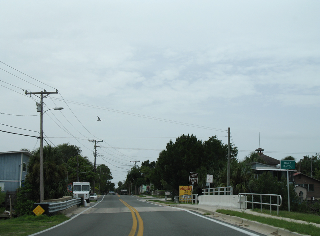
| Crossing Back Bayou along SR 24 (D Street) eastbound. 07/31/06 |
|
| SR 24 east at Blue Bayou in Cedar Key. 07/31/06 |
|
| Eastbound SR 24 at Number 3 Channel at Cedar Key. 07/31/06 |
|
| Number 4 Channel separates Cedar Key from the Levy County mainland. 07/31/06 |
|
| Levy County Road 347 branches north from SR 24 to Lower Suwannee National Wildlife Refuge. 07/31/06 |
|
| CR 347 follows a 33.53 mile loop northeast from SR 24 to U.S. 19/98 south of Chiefland. 07/31/06 |
|
| Confirming marker posted eastbound along Archer Road between I-75 and SW 40th Boulevard in Gainesville. 08/16/18 |
|
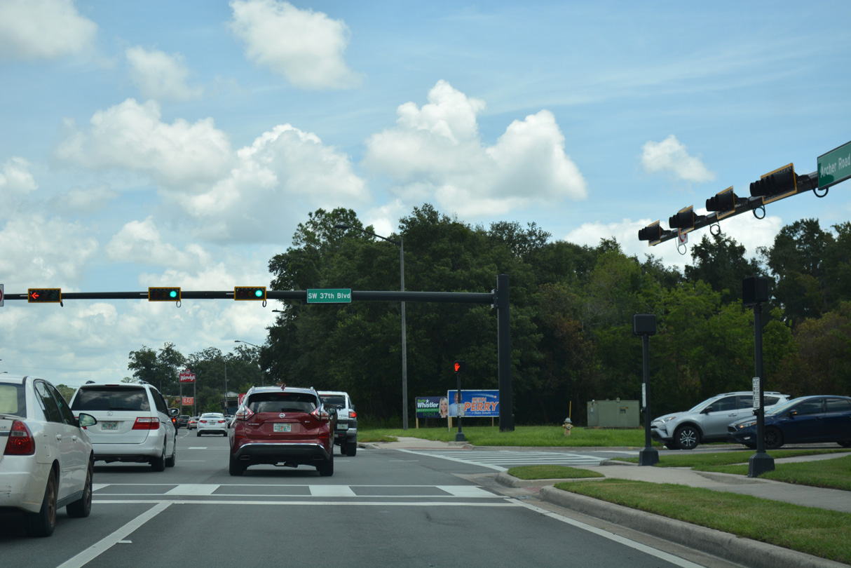
| SR 24 (SW Archer Road) intersects SW 37th Boulevard at Butler Plaza West and Butler Plaza shopping centers. 08/16/18 |
|
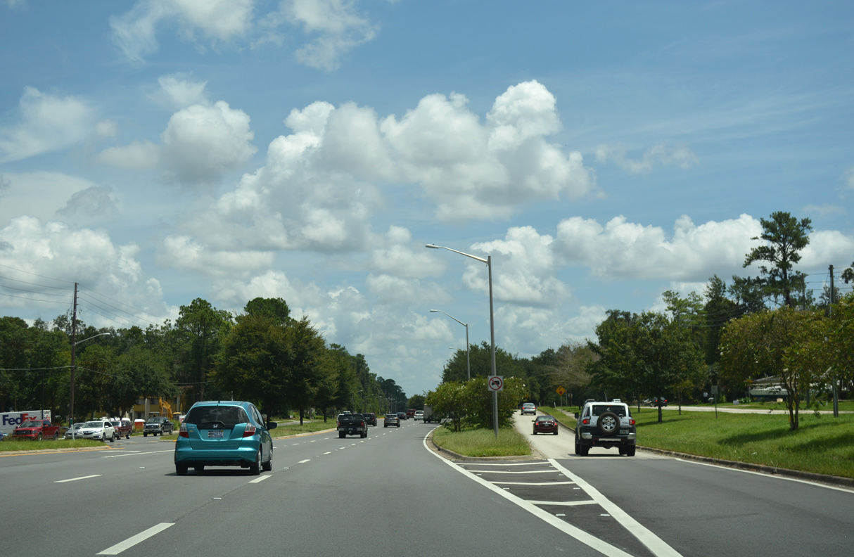
| Heavy retail development continues along SR 24 (Archer Road) northeast to SW 35th Boulevard at Butler Town Center. 08/16/18 |
|
| Approaching SR 121 (SW 34th Street) on SR 24 (SW Archer Road) east. 08/16/18 |
|
| Following SW/NW 34th Street through Gainesville, SR 121 travels north to Lake Butler and southwest to Williston. 08/16/18 |
|
| SR 121 runs along the west side of the University of Florida (UF) campus to Green Acres Park and south by a number of apartment communities and SW Industrial Park to SR 331 (SW Williston Road) and I-75. 12/14/07 |
|
| Continuing northeast from SR 121, SR 24 (Archer Road) heads along the south side of UF en route to Waldo in 19 miles. 08/16/18 |
|
| A slip ramp connects SR 24 (SW Archer Road) with Old Archer Road, a south side service road to a number of apartment complexes and SW 23rd Street. 08/16/18 |
|
| SW 23rd Terrace winds southeast from SR 23 to SW 23rd Street ahead of SR 331 (Williston Road). 08/16/18 |
|
| SW 23rd Drive stems north from SR 24 (Archer Road) to Hull Road and Mowry Road at UF. 08/16/18 |
|
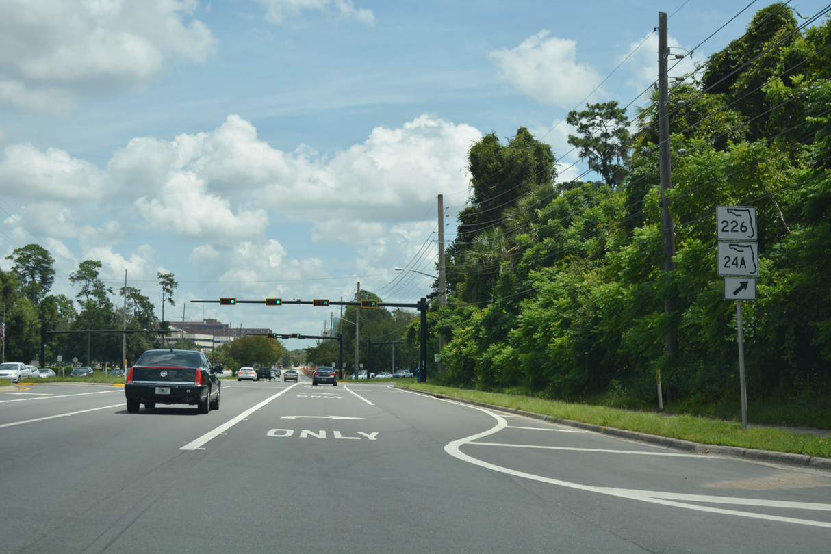
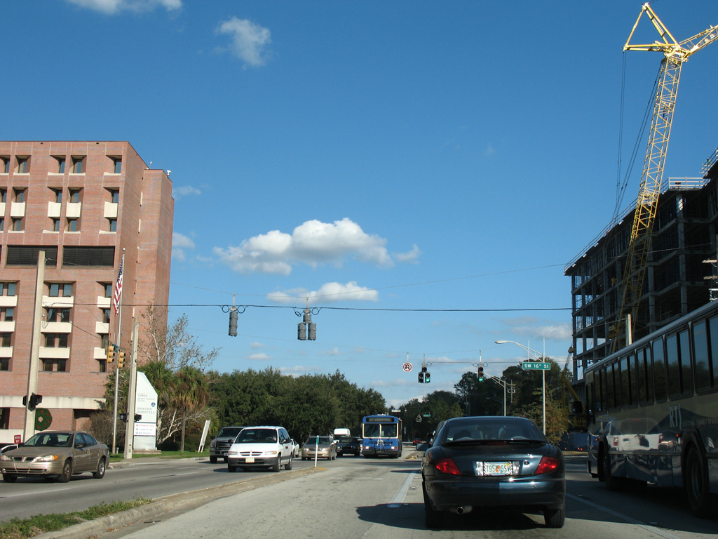
| SR 226/SR 24A split from SR 24 (SW Archer Road) and wind eastward along SW 16th Avenue to U.S. 441 (SW 13th Street). SR 226 comprises a 2.20 mile route to SR 331 (SE Williston Road). 08/16/18 |
|
| Providing a bypass for SR 24 around Downtown, SR 24A overlaps with all of SR 226 east to SR 331, and with SR 331 (SW Williston Road) north back to SR 24 at East University Avenue. 08/16/18 |
|
| Reassurance marker posted between SR 24A/226 (SW 16th Avenue) and Gale Lemerand Drive north to UF. 12/14/07 |
|
| SR 24 proceeds east through a series of traffic lights with streets leading into the UF campus to U.S. 441 (SW 13th Street). 12/14/07 |
|
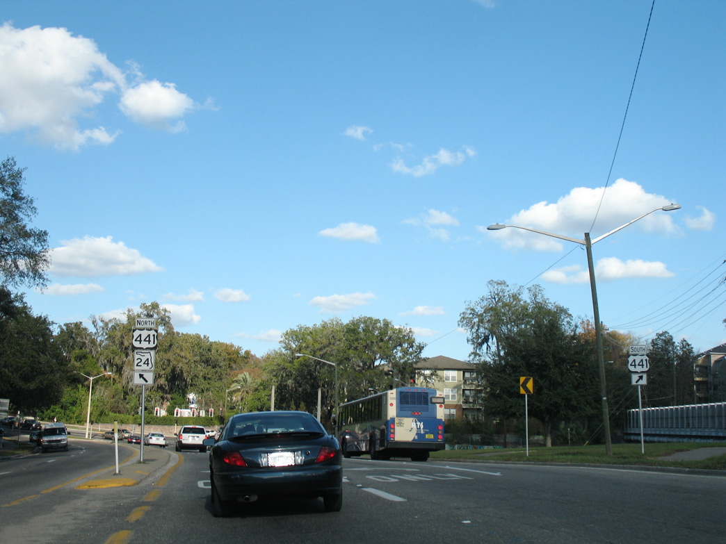
| Curving northward, SR 24 (Archer Road) converges with U.S. 441 (SW 13th Street). The two overlap three quarters of a mile north. 12/14/07 |
|
| U.S. 441 enters Gainesville north from Micanopy across Paynes Prairie Preserve State Park. 12/14/07 |
|
| Two lanes turn northward onto U.S. 441 from Archer Road across from SW 9th Road. 12/14/07 |
|
| SR 24 west at SR 222 (NE 39th Avenue) in Gainesville. 08/16/18 |
|
| SR 24 west of U.S. 19/98 at Otter Creek. 07/31/06 |
|
| SR 24 concludes 24 miles to the southwest of US 19/98 at Cedar Key. 07/31/06 |
|
| SR 24 bee lines southwest across wetland areas of Gulf Hammock between Ellzey and Rosewood. 07/31/06 |
|
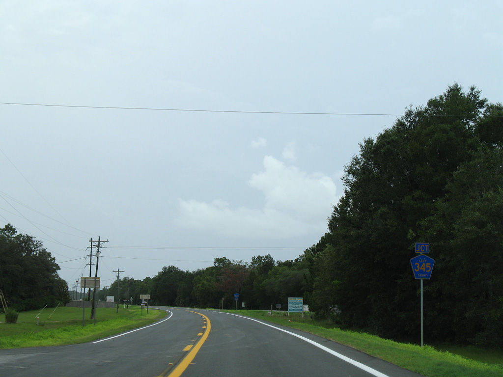
| Rosewood is a rural settlement along SR 24 west at Levy County Road 345. 07/31/06 |
|
| CR 345 stems north 12.61 miles to Rocky Hammock and CR 332 (NW 50th Street) at Curryville. SR 345 takes over from CR 332 north into Chiefland. 07/31/06 |
|
| Continuing southwest from CR 345 at Rosewood, SR 24 reaches Cedar Key in nine miles. 07/31/06 |
|
| Next along SR 24 southwest from Rosewood is the rural community of Sumner. 07/31/06 |
|
| Land southwest of Sumner to the Gulf of Mexico falls within Cedar Key Scrub State Reserve. 07/31/06 |
|
| CR 347 arcs north from SR 24 near Cedar Key to Fowler's Bluff through Lower Suwannee National Wildlife Refuge. NW 60th Street leads the route east to U.S. 19/98 near Usher. 07/31/06 |
|
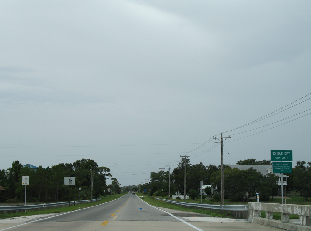
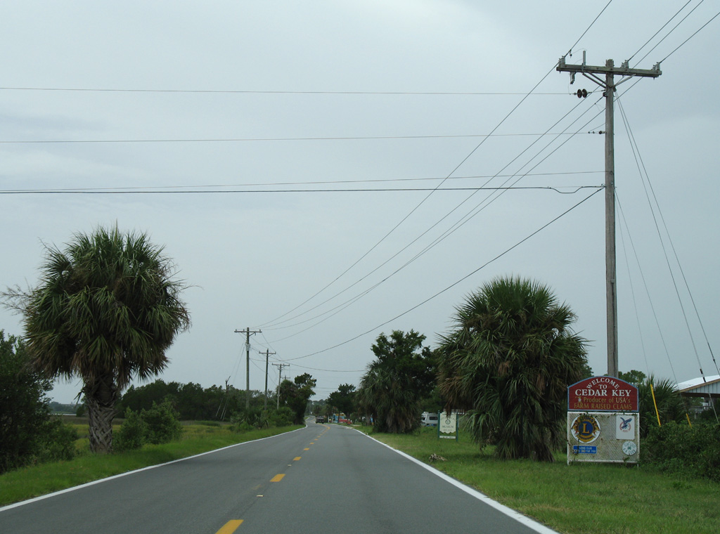
| The last shield for SR 24 westbound stands between CR 347 north and Cedar Key Plantation. 07/31/06 |
|
| Leading south into Cedar Key, SR 24 follows a causeway to Number Four Channel and Havens Island. 07/31/06 |
|
| SR 24 crosses Number Three Channel south of Sunset Point. 07/31/06 |
|
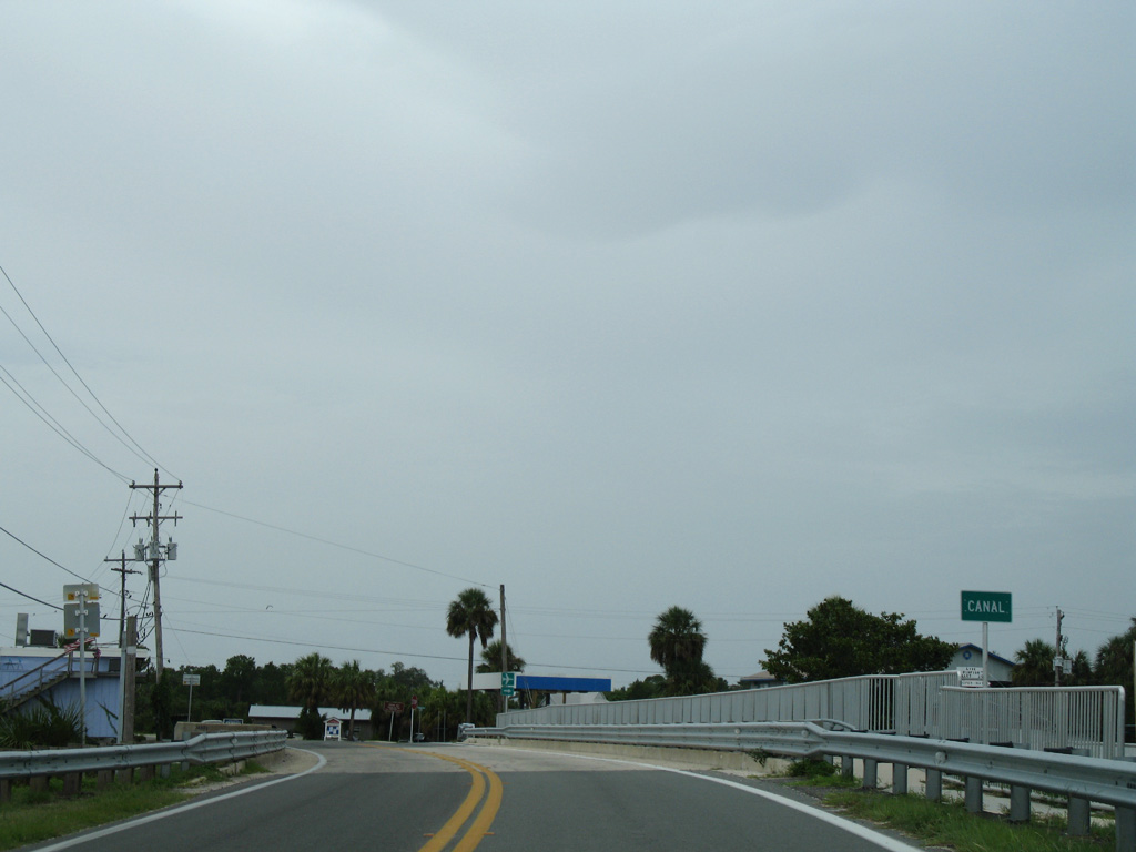
| Traveling south through northern reaches of Cedar Key, SR 24 crosses Blue Bayou and Back Bayou. 07/31/06 |
|
| An end of state maintenance sign markers the south end of State Road 24 at D and 2nd Streets in the Cedar Key business district. 07/31/06 |
Page Updated 04-16-2019.


 East
East