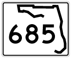
State Road 685 travels over 14 miles mostly as the unsigned counterpart to U.S. 41 Business between Downtown Tampa and Lutz. A 0.98 mile segment of SR 685 is fully signed along Henderson Boulevard between U.S. 92 (Dale Mabry Highway) and SR 60 (Kennedy Boulevard). The state road originally ran south along Dale Mabry Highway to MacDill Air Force Base while Henderson Boulevard southwest from U.S. 92 to Manhattan Avenue and Manhattan Avenue south to Gandy Boulevard (U.S. 92) was State Road 600A.
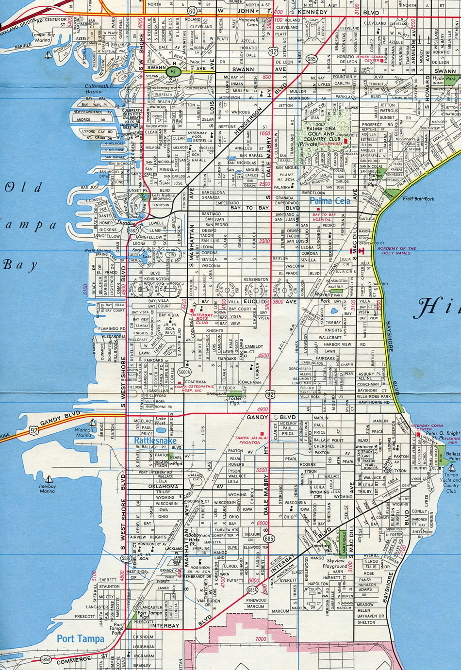
This 1975 map of Tampa shows State Road 685 routed along Dale Mabry Highway south of U.S. 92 (Gandy Boulevard) to Interbay Boulevard. This is now State Road 573.
Also of note are both Secondary 600A along Manhattan Avenue and Henderson Boulevard and Secondary 685A leading west from Dale Mabry Highway to Port Tampa and Picnic Island Boulevard. Both of these routes are no longer designated.
|
| Henderson Boulevard angles northeast from Bay To Bay Boulevard to Dale Mabry Highway (U.S. 92), where it becomes a part of State Road 685. The lone northbound shield follows. 02/23/20 |
|
| Swann Avenue heads east from the Beach Park neighborhood to intersect SR 685 (Henderson Boulevard) at Himes Avenue. Himes Avenue travels north from South Tampa to Oakford Park. 02/23/20 |
|
| Azeele Street parallels Swann Avenue three blocks to the north en route east to Hyde Park. 02/23/20 |
|
| SR 685 turns east onto SR 60 in an unsigned overlap to Downtown Tampa. SR 60 represents a cross-peninsula route originating at Clearwater Beach that links Tampa with Brandon and Bartow to the east. This guide was removed by 2017. 03/07/14 |
|
| Henderson Boulevard ends as traffic defaults onto Kennedy Boulevard east ahead of MacDill Avenue. SR 60 constitutes a four lane commercial boulevard between Westshore and Downtown. 02/23/20 |
|
| SR 685 branches southwest along Henderson Boulevard from SR 60 (Kennedy Boulevard) through the Gray Gables neighborhood. A lone reassurance marker appears for the state road. 03/07/14 |
|
| A distance sign references the distance to Downtown St. Petersburg. This sign is a likely remnant from when Henderson Boulevard and Manhattan Avenue south from Dale Mabry Highway was designed as SR 600A. 03/07/14 |
|
| Azeele Street intersects SR 685 (Henderson Boulevard) south at this traffic light. Azeele Street leads east to Hyde Park. 03/07/14 |
|
| Three blocks further south, SR 685 (Henderson Boulevard) enters a six-point intersection with north-south Himes Avenue and east-west Swann Avenue. Himes connects with South Tampa while Swann leads west to Beach Park. 03/07/14 |
|
| SR 685 south intersects Sterling Avenue before ending at U.S. 92 (Dale Mabry Highway). 03/07/14 |
|
| U.S. 92 (unsigned SR 600) travels Dale Mabry south to Gandy Boulevard west and north to Hillsborough Avenue east. Dale Mabry Highway overall runs south to MacDill AFB as SR 573 and to Wesley Chapel in Pasco County as SR 597. 03/07/14 |
Page Updated 03-02-2020.