|
| Interstate 65 sees a brief roadway split ahead of the diamond interchange (Exit 219) with Chilton County 42. CR 42 crosses paths with the freeway by Union Grove. 10/09/16 |
|
| Jemison and Thornsby are both located along U.S. 31 to the west. County Road 42 connects I-65 with the U.S. highway, 3.8 miles from Exit 219. 10/09/16 |
|
| Exit 219 leaves Interstate 65 south for Chilton County 42. CR 42 continues 5.6 miles east through Union Grove to end at SR 145. 10/09/16 |
|
| Interstate 65 parallels Turkey Creek south from Union Grove toward Collins Chapel. 10/09/16 |
|
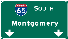
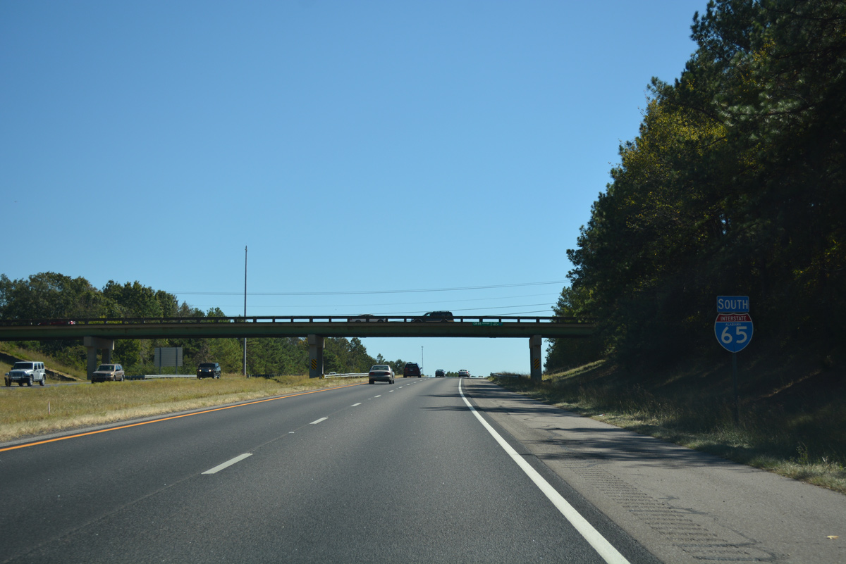
| The county seat of Clanton lies 12 miles to the south via Interstate 65 and SR 145. Montgomery is now 53 miles away. 10/09/16 |
|
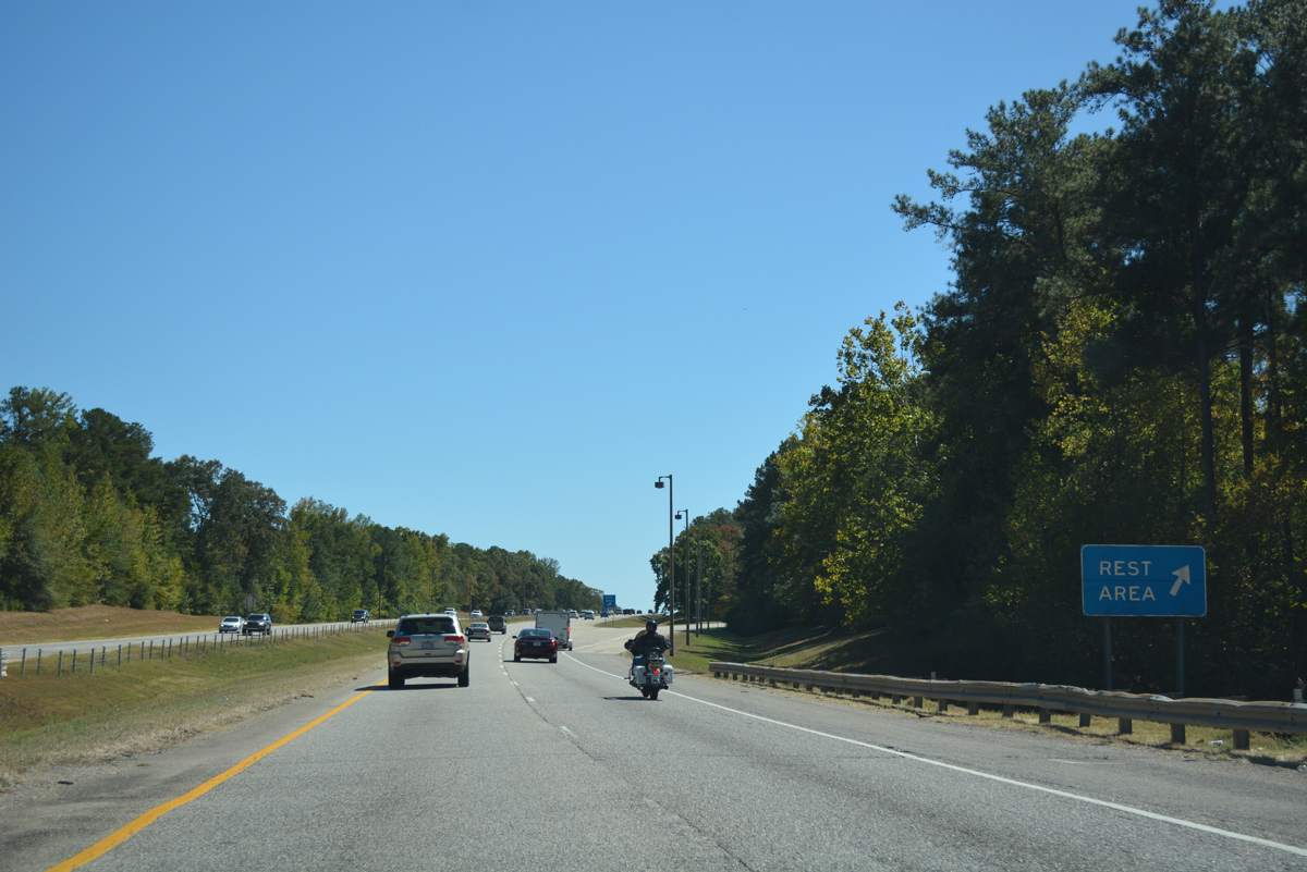
| The third southbound rest area of Interstate 65 in Alabama is located west of Chandler Mountain. A companion northbound facility follows. 06/02/11, 10/09/16 |
|
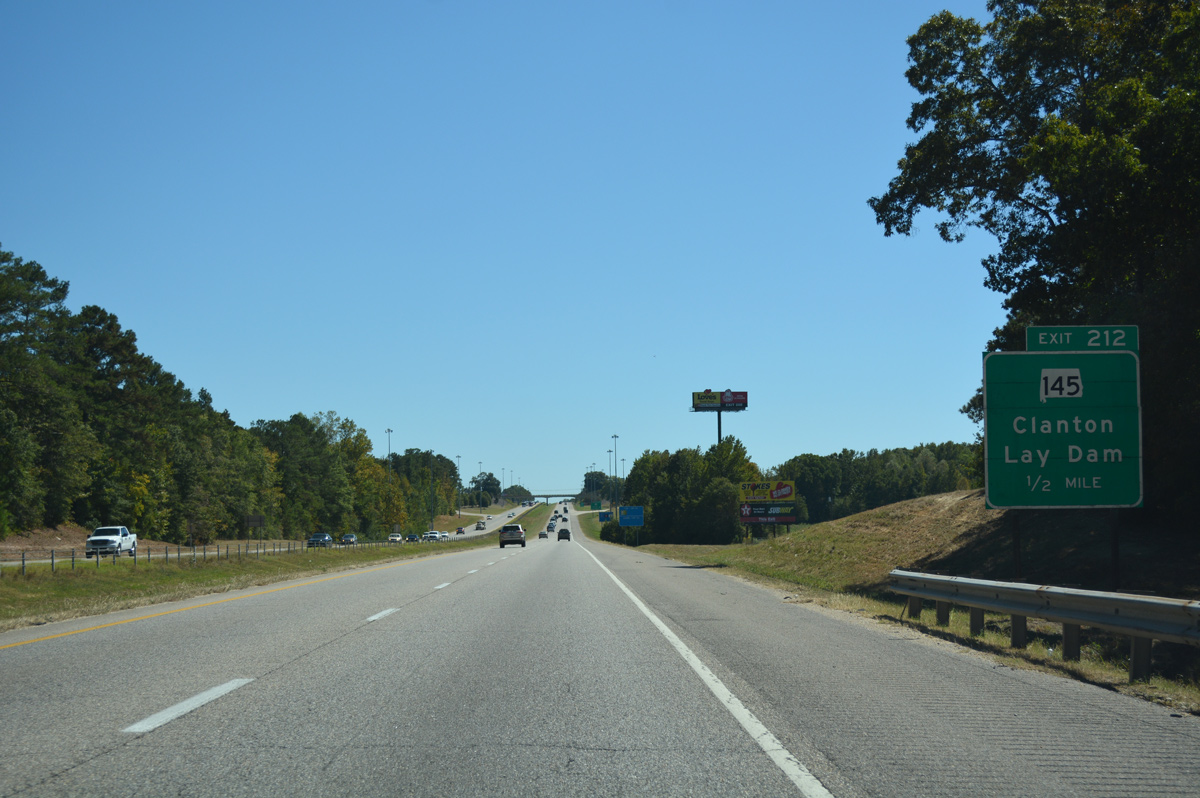
| SR 145 angles southwest from Gap of the Mountain to a diamond interchange (Exit 212) with Interstate 65 in one mile. 10/09/16 |
|
| One half mile north of the off-ramp (Exit 212) to SR 145. SR 145 leads 26.97 miles north from U.S. 31 in Clanton to end at Shelby County 61, 2.7 miles south of Wilsonville. 11/07/11 |
|
| SR 145 (Lay Dam Road) widens to four lanes on the 3.71 miles to U.S. 31 (7th Street North) in Clanton. CR 55 provides access to Lay Dam along the Coosa River. The dam forms Lay Lake to the north. 10/09/16 |
|
| Interstate 65 enters the Clanton city limits south of the SR 145 overpass. 10/09/16 |
|
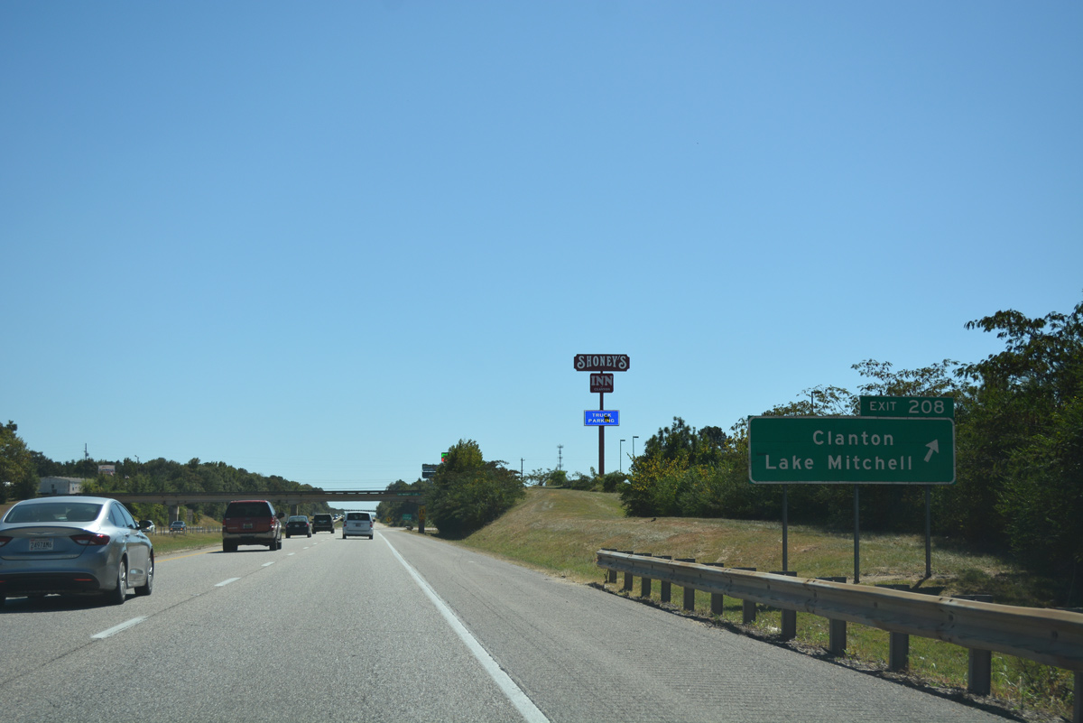
| Forthcoming Chilton County 28 leads east from Exit 208 to Mitchell Lake. Mitchell Lake lies south of Lay Lake along the Coosa River. 10/09/16 |
|
| A parclo B4 interchange joins I-65 with County Road 28 (Lake Mitchell Road) along the east side of Canton. CR 28 follows 2nd Avenue South west into the city center. 10/09/16 |
|
| Exit 208 loops onto Chilton County 28 (Lake Mitchell Road) from Interstate 65 south. Within Clanton, SR 22 combines with U.S. 31 from Maplesville to the west. The tandem follow a four lane highway southeast to Exit 205. 10/09/16 |
|
| Temple Road spans Interstate 65 south beyond this confirming marker. 10/09/16 |
|
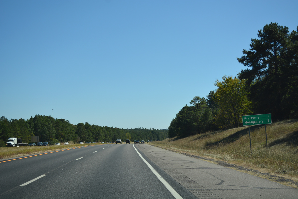
| Prattville, the Autauga County seat and a growing bedroom community of Montgomery, is 29 miles to the south along I-65. 10/09/16 |
|
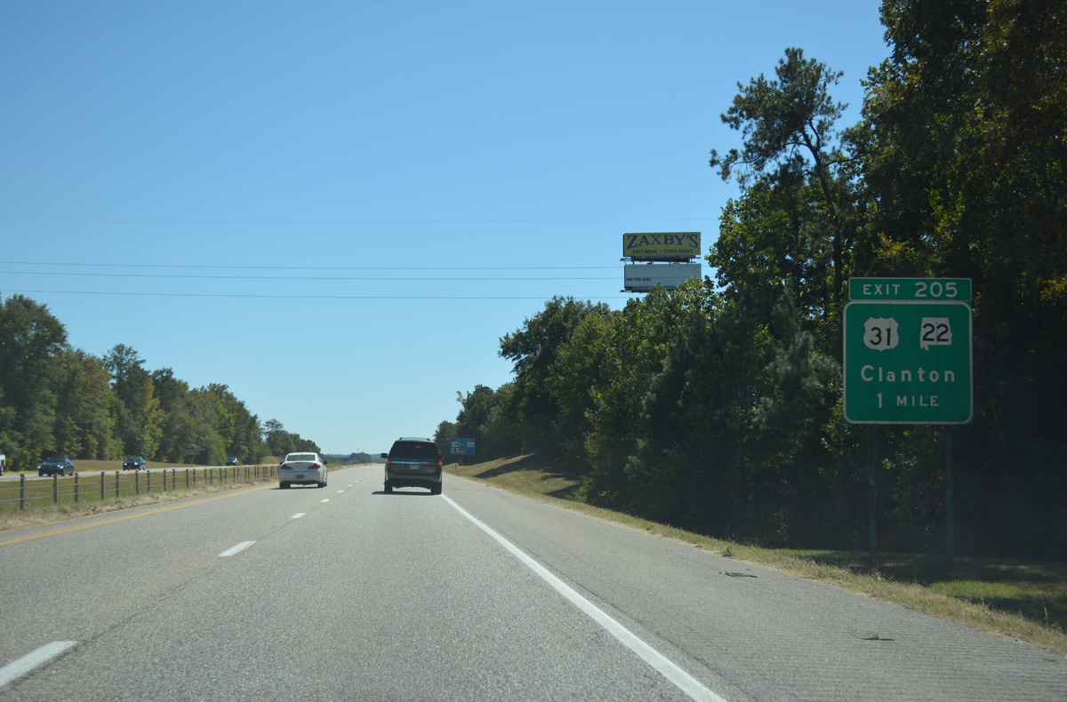
| U.S. 31 & SR 22 and an adjacent CSX Railroad line converge with Interstate 65 in south Clanton at a diamond interchange (Exit 205). 10/09/16 |
|
| SR 22 overlaps with U.S. 31 for 8.30 miles from Clanton southeast to Cooper. The state route branches east from there to span Jordan Lake and the Coosa River en route to Alexander City. U.S. 31 continues south to Verbena, Confederate Memorial Park and Mountain Creek. 10/09/16 |
|
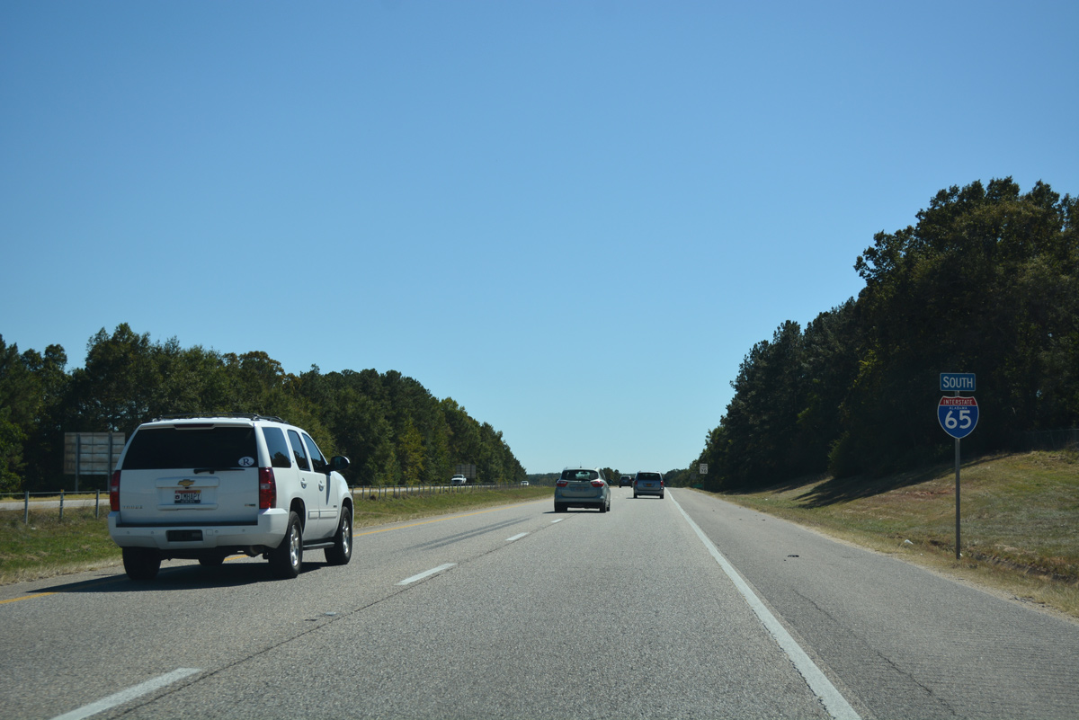
| The next 19 miles of Interstate 65 south are the least populated along the corridor between Montgomery and Birmingham. 10/09/16 |
|
| The last of five Chilton County interchanges, Exit 200 serves the unincorporated community of Verbena via County Road 59 east. 10/09/16 |
|
| One half mile north of the diamond interchange (Exit 200) with Verbena on I-65 south. Originally built as a railroad town, Verbena was named for the indigenous flower. 10/09/16 |
|
| County Road 59 meanders 2.5 miles east from Exit 200 to a brief overlap with U.S. 31 at Verbena. Westward, CR 59 arcs 6.2 miles northwest to CR 49 near Enterprise. 10/09/16 |
|
| Leaving Exit 200, Interstate 65 lowers toward Sandy Creek beyond this reassurance marker. Chilton County 447 passes over the freeway on the succeeding hill. 10/09/16 |
|
| 20 miles north of Prattville and 33 miles out from the capital city. This is the first of two 14 mile exit less stretches along I-65 statewide. The second is between Greenville and Georgiana. 10/09/16 |
|
| The 27.93 mile section of Interstate 65 within Chilton County ends as the freeway enters Autauga County. 10/09/16 |
|
| Advancing 3.7 miles south from the county line, Interstate 65 lowers toward Mortar Creek and the Autauga County 68 over crossing. 10/09/16 |
|
| U.S. 31 returns to Interstate 65 by way of Pine Level to meet the freeway at a diamond interchange (Exit 186) in one mile. 10/09/16 |
|
| U.S. 31 continues south from Exit 186 seven miles to the Prattville city center. The US route stays west of Interstate 65 to Hope Hull (Exit 164). 10/09/16 |
|
| Exit 186 represents the first of three interchanges for Prattville along Interstate 65 south. Founded by Daniel Pratt in 1839, the "Fountain City" began as an industrial center off Autauga Creek. Its nickname derives from the many artesian wells found in the area. 10/09/16 |
|
| Reassurance posted for Interstate 65 south by the Alpha Springs Road (CR 85) overpass. 10/09/16 |
|
| Turning more southeasterly, Interstate 65 travels east of Prattville on the 15 mile drive to Montgomery. Suburban expansion pushes Prattville and Millbrook together at the ensuing two interchanges. 10/09/16 |
|
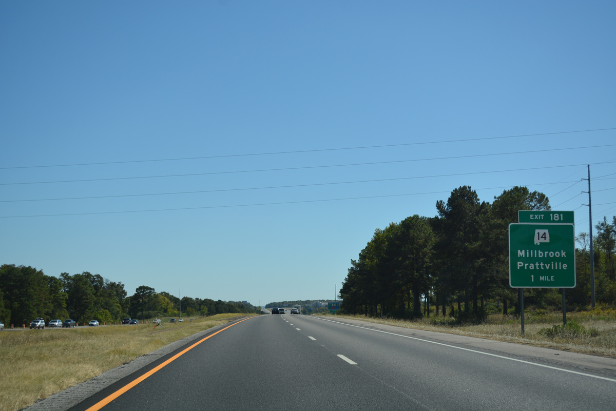
| SR 14 is a 218 mile long highway joining Prattville with the cities of Selma, Prattville, Wetumpka, Tallassee and Auburn. The state route combines with Interstate 65 south at Exit 181, six miles to the northeast of the Prattville city center. 10/09/16 |
|
| Interstate 65 runs along eastern reaches of the Pratttville city limits to the diamond interchange (Exit 181) with SR 14. SR 14 east connects the city of 35,000 with the communities of Millbrook, Coosada and Elmore over the next six miles. 10/09/16 |
|
| Exit 181 departs I-65 south to SR 14. Prior to May 2015, SR 14 took Fairview Avenue west to a 0.42 mile overlap with U.S. 31 through the Prattville city center. The state route now bypasses the city to the east and south. 10/09/16 |
|
| I-65 travels across the southwestern wedge of Elmore County from Exit 181 to the Alabama River. SR 14 overlaps with the freeway south for 2.32 miles to U.S. 82 west. 10/09/16 |
|
| U.S. 82 east travels southeast from Tuscaloosa and Prattville to combine with Interstate 65 south at Exit 179. Cobbs Ford Road extends east from Exit 179 to SR 143 (Main Street) at south Milbrook and Alabama River Parkway (Montgomery Toll Road) southeast . 10/09/16 |
|
| Construction in 1997 extended the U.S. 82 south bypass of Prattville eastward to the original Cobbs Ford Road interchange of Interstate 65. Relocation of U.S. 82 onto the new facility was approved by AASHTO in 2000. The four lane bypass ties into the original U.S. 31 & 82 split, located west of Capitol Hill Golf Course, which is a part of the Robert Trent Jones Golf Trail. 10/09/16 |
|
| Alabama River Parkway meanders southeast from SR 143 and Cobbs Ford Road to Boylston in north Montgomery Montgomery and SR 152 (North Boulevard). The commuter route crosses the Alabama River along a toll bridge built in 1998. 10/09/16 |
|
| SR 14 accompanies U.S. 82 west to Selma Highway, its original alignment west tp Autaugaville. SR 14 along Main Street and Selma Highway north of U.S. 82 was turned over to the city of Prattville along with SR 206 (4th Street) in April 2012. 10/09/16 |
|
| Entering the diamond interchange (Exit 179) with U.S. 82 and SR 14 (Cobbs Ford Road) on I-65 south. 10/09/16 |
|
| Interstate 65 leading south through Montgomery to Georgiana is dedicated as the "Hank Williams Memorial Lost Highway". Georgiana is the boyhood home of the legendary county singer. 10/09/16 |
|
| U.S. 82 overlays I-65 south for 10.75 miles to South Boulevard in Montgomery. Prior to 2000, U.S. 82 ran concurrently with U.S. 31 south along Birmingham Highway to West and South Boulevards in Montgomery. 10/09/16 |
|
| Spanning Crescent Lake along Interstate 65 south & U.S. 82 east. The freeway enters a peninsula formed by Jones Bluff Lake of the Alabama River ahead of Montgomery. 06/02/11 |
|
| The 4.60 mile stint of I-65 through Elmore County concludes as southbound motorists enter Montgomery County. 10/09/16 |
Page Updated 05-16-2017.

 South
South


 East
East