The freeway through Sweetwater County is trona country, which is embedded within the Green River Basin. Trona, a mineral used to make glass and baking soda, is found in abundance well below the high-altitude plains of southwestern Wyoming. Created from sediments from the ancient Lake Gosiute, the land below Interstate 80 contains vast troves of trona, making this area into one of the largest trona deposits in the world. Several companies located within the vicinity of I-80 mine trona below ground. WyoDOT proactively maintains and replaces signage for the various trona-mining companies, many of which change names due to corporate takeovers, buy-outs, and sales of mineral rights to other companies. An example of this signage is present in advance of the Westvaco Road interchange.
|
| Parking areas line both directions of Interstate 80, 2.4 miles east of the Unita County line. 08/01/16, 08/05/13 |
|
| One mile ahead of the diamond interchange (Exit 61) with Wyoming 374 east to Granger and Kemmerer and Cedar Mountain Road south on I-80 east. No services are available at Exit 61. 08/01/16 |
|
| Wyoming 374 serves as a north side frontage road to Interstate 80 between Exits 61 and 66 along old U.S. 30S. Wyoming 374 has a brief gap between Exits 66 and 68, and it resumes again as the north side frontage road from the Little America interchange (Exit 68) east along old U.S. 30 all the way to Green River. 08/01/16 |
|
| A lone Interstate 80 reassurance marker stands east of Cedar Mountain Road. After the next interchange (U.S. 30), I-80 is generally cosigned with U.S. 30 east to Rawlins and Walcott Junction in Carbon County. 08/01/16 |
|
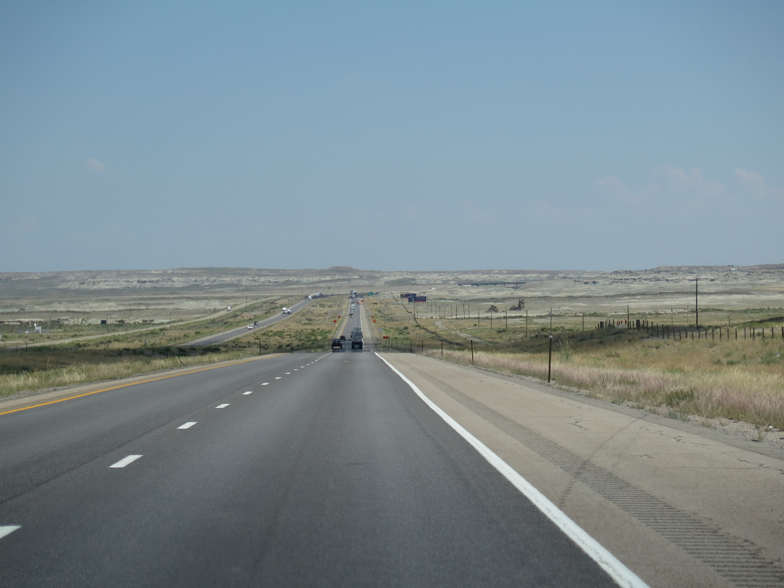
| Interstate 80 proceeds east between Exits 61 and 66. Road repair work was underway along this stretch in 2016. 08/01/16 |
|
| U.S. 30 winds southeast from Pocatello, Idaho to Kemmerer and Granger to combine with Interstate 80 east at Exit 66. U.S. 30 originates in Astoria, Oregon, traveling east from U.S. 101 along the Columbia and Snake Rivers, and I-84 and I-86 corridors. 08/01/16 |
|
| Guide signs on Interstate 80 for Exit 66 were carbon copied to use Clearview font. 08/05/13 |
|
| WyoDOT complies with recent revisions to the MUTCD by replacing signs with all capital letters, such as this auxiliary sign for Granger along Interstate 80 east. 08/01/16 |
|
| A trumpet interchange joins Interstate 80 with U.S. 30 west. Prior to the 1990s, this exchange consisted of a wye interchange with no access from I-80 east to U.S. 30 west. 08/05/13, 08/01/16 |
|
| Replaced guide sign for U.S. 30 west to Granger and Kemmerer at Exit 6. 08/05/13 |
|
| Interstate 80 and U.S. 30 travel east together toward Green River and Rock Springs. The two routes will not separate until Walcott Junction. 08/05/13 |
|
| A diamond interchange (Exit 68) lies one mile ahead with the east segment of Wyoming 374 at Little America. In addition to the Little America attraction, Exit 68 serves trona mining operations. 08/05/13 |
Page Updated 03-31-2017.

 East
East


 East
East
