|
| SR 107 begins at a diamond interchange (Exit 35) with Interstate 81 and SR 762 at Chilhowie. 05/26/21 |
|
| Interstate 81 crosses the Holston River Middle Fork ahead of Exit 35 for SR 107 (White Top Avenue) north and SR 762 south. 05/26/21 |
|
| SR 107 runs 8.39 miles northwest from Chilhowie to SR 91 (Main Street) in Saltville. 05/26/21 |
|
| Interstate 81 advances eastward to McMullin next. 05/26/21 |
|
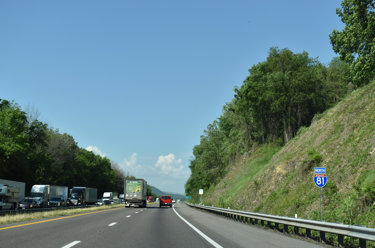
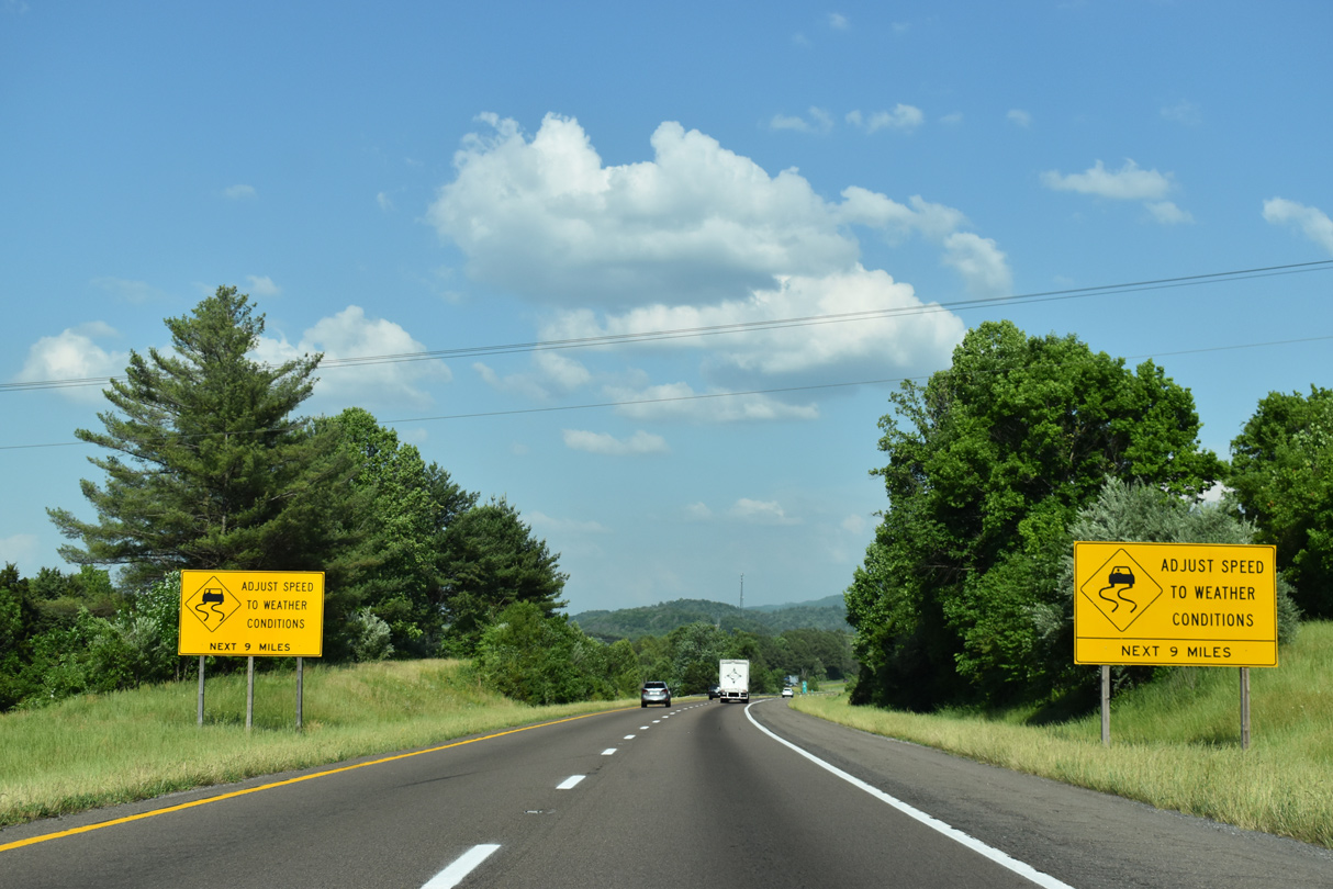
| Interstate 81 briefly enters the corporate limits of Chilhowie on the 11 mile drive to Marion. 05/26/21, 07/16/05 |
|
| Chilhowie, Interstate 81, and U.S. 11 (Lee Highway) lie within the North Holston River Middle Fork valley south of Brushy Mountain. 07/16/05 |
|
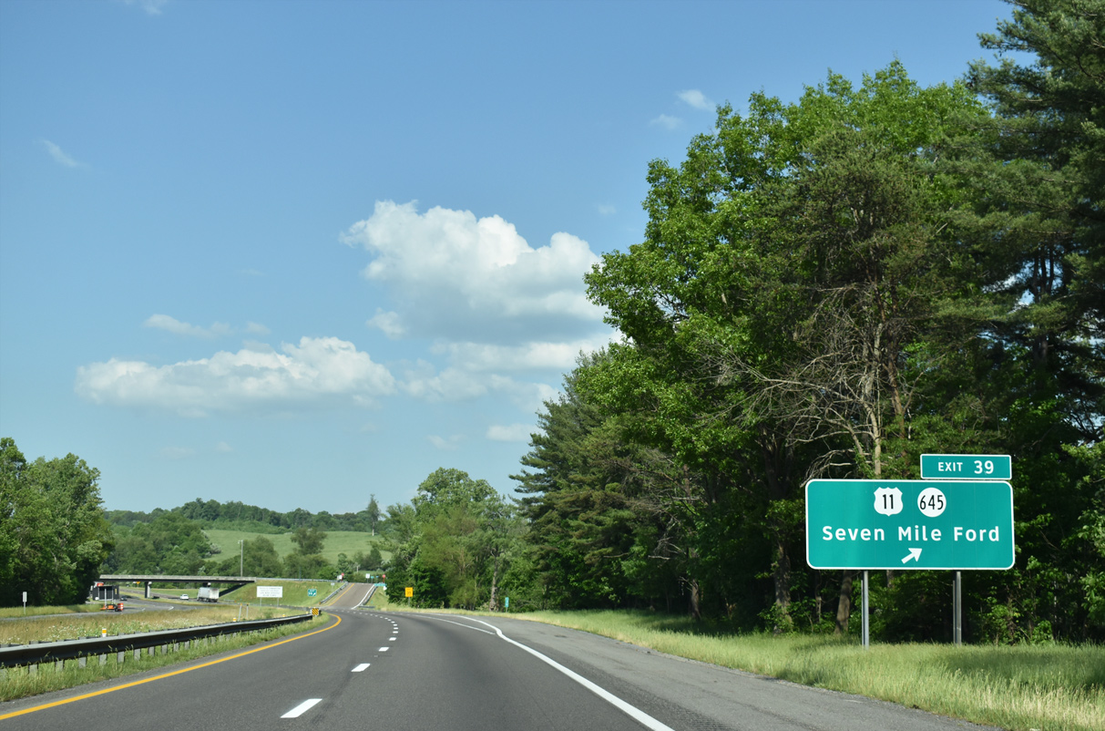
| U.S. 11 (Lee Highway) again switches sides with Interstate 81 at a diamond interchange (Exit 39) near Seven Mile Ford. 05/26/21 |
|
| SR 645 (Chestnut Ridge Road) extends 3.85 miles southwest from U.S. 11 (Lee Highway) nearby to SR 660 (Riverside Road) between St. Clair Bottom and Riverside. 05/26/21 |
|
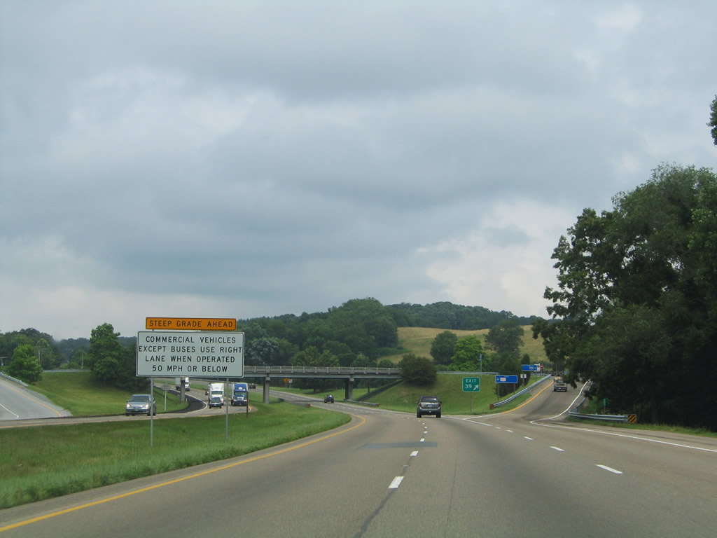
| Trucks, buses and drivers of other large vehicles are advised of the forthcoming incline along Interstate 81 toward Marion. 07/16/05 |
|
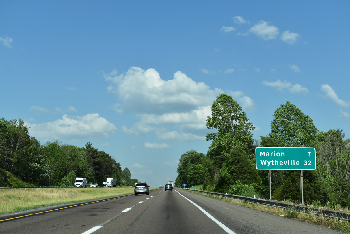
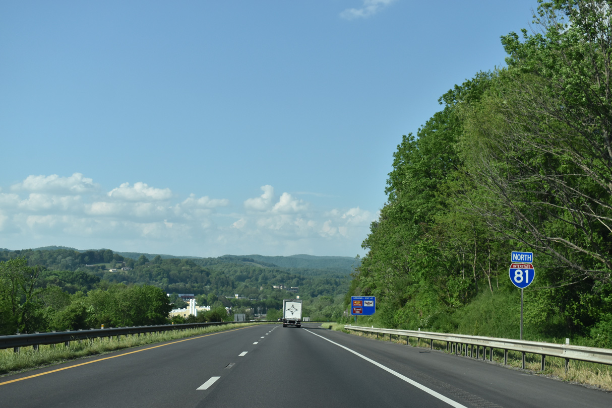
| Interstate 81 and parallel U.S. 11 (Lee Highway) continue seven miles east into the city of Marion. 05/26/21 |
|
| Signs advise caution navigating through a series of S-curves along Interstate 81 to Exit 50 beyond Marion. 05/26/21 |
|
| U.S. 11 (Lee Highway) shifts back to the north side of Interstate 81 ahead of the wye interchange (Exit 44) near McMullen. Three exits serve the Smyth County seat. 05/26/21 |
|
| U.S. 11 constitutes a four lane arterial east to S Main Street in Marion. U.S. 11 leads directly to Downtown, where it meets SR 16 (Commerce Street). 05/26/21 |
|
| A transmission corridor lines the hills above Marion, paralleling I-81 east from Exit 44 to Goodpasture Ridge. These lines continue east to Wytheville and northwest to Saltville. 05/26/21 |
|
| SR 16 follows Commerce Street south from Downtown Marion to the diamond interchange at Exit 45. SR 16 continues to Sugar Grove, Mount Rogers National Recreation Area and Troutdale. 05/26/21 |
|
| Interstate 81 separates through a deep valley adjacent to Staley Knob. Hooks Branch flows underneath the freeway.
05/26/21 |
|
| Exit 45 departs I-81 north for SR 16 (Commerce Street) north to Marion and south to Furnace Hill and Attoway. Measuring 77.58 miles between Mouth of Wilson and Bishop in Virginia, SR 16 is part of a multi state route through North Carolina and West Virginia. 05/26/21 |
|
| Interstate 81 runs north of Goodpasture Ridge near the industrial east side of Marion.
05/26/21 |
|
| U.S. 11 (Main Street) splits with SR 16 (Park Boulevard) and continues east from Marion to meet Interstate 81 at the modified diamond interchange (Exit 47) with Rifton Drive. 05/26/21 |
|
| Exit 47 parts ways with I-81 north for Rifton Drive and U.S. 11 (Lee Highway). U.S. 11 stays just north of I-81 east through Mount Carmel and Atkins. Westward, U.S. 11 to SR 16 north leads toward Hungry Mother State Park. 05/26/21 |
|
| Interstate 81 continues eastward to the south of Mount Carmel. 05/26/21 |
|
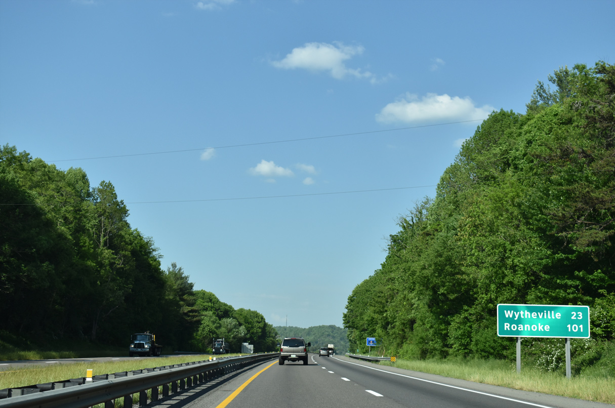
| Wytheville follows in 23 miles. 101 miles away, Roanoke appears for the first time on distance signs since Bristol. 05/26/21 |
|
| Constructed after the initial completion of the freeway, Exit 50 serves industrial park areas at Atkins and along U.S. 11 (Lee Highway). 05/26/21 |
|
| Nicks Creek Road (SR 622) links Exit 50 with adjacent U.S. 11. SR 622 leads 4.86 miles south to SR 16 on Brushy Mountain. 05/26/21 |
|
| U.S. 11 runs east from SR 622 (Pierce Road) by a number of residential streets in Atkins. 05/26/21 |
|
| Proceeding east from Atkins, I-81, U.S. 11 and the North Holston River Middle Fork parallel one another to Exit 54. 05/26/21, 07/16/05 |
|
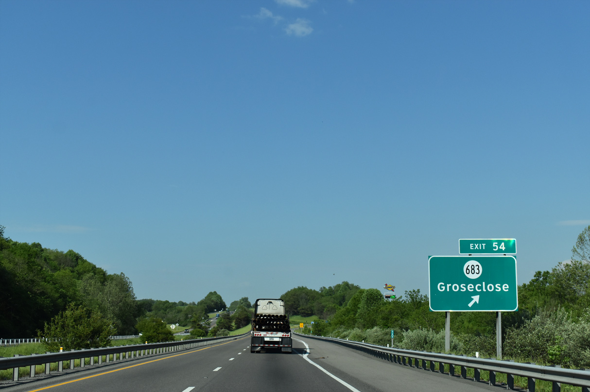
| SR 683 (Winsor Road) meets Interstate 81 at a diamond interchange (Exit 54) west of Groseclose and Mountain Empire Airport (MKJ). 05/26/21 |
|
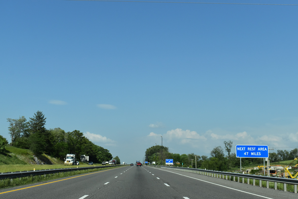
| The Rural Retreat Safety Rest Area is located seven miles ahead at milepost 61. 05/26/21 |
|
| SR 683 (Winsor Road) connects with U.S. 11 (Lee Highway) just south of Exit 54 and SR 617 (Davis Valley Road) to the north. 05/26/21 |
|
| Confirming marker posted northbound at Groseclose. 05/26/21 |
|
| Wytheville lies 16 miles ahead. 05/26/21 |
|
| Mountain Empire Airport (MKJ) comes into view along Interstate 81 north near the Burgundy Lane overpass. 07/16/05 |
|
| 57.66 miles from the Tennessee border, Interstate 81 crosses into Wythe County. 05/26/21 |
|
| A car-only rest area facility lies east of Exit 60 near Staley Crossroads. The Rural Retreat Safety Rest Area closed in 2009 due to budget cuts, but reopened by February 19, 2010.1 05/26/21 |
|
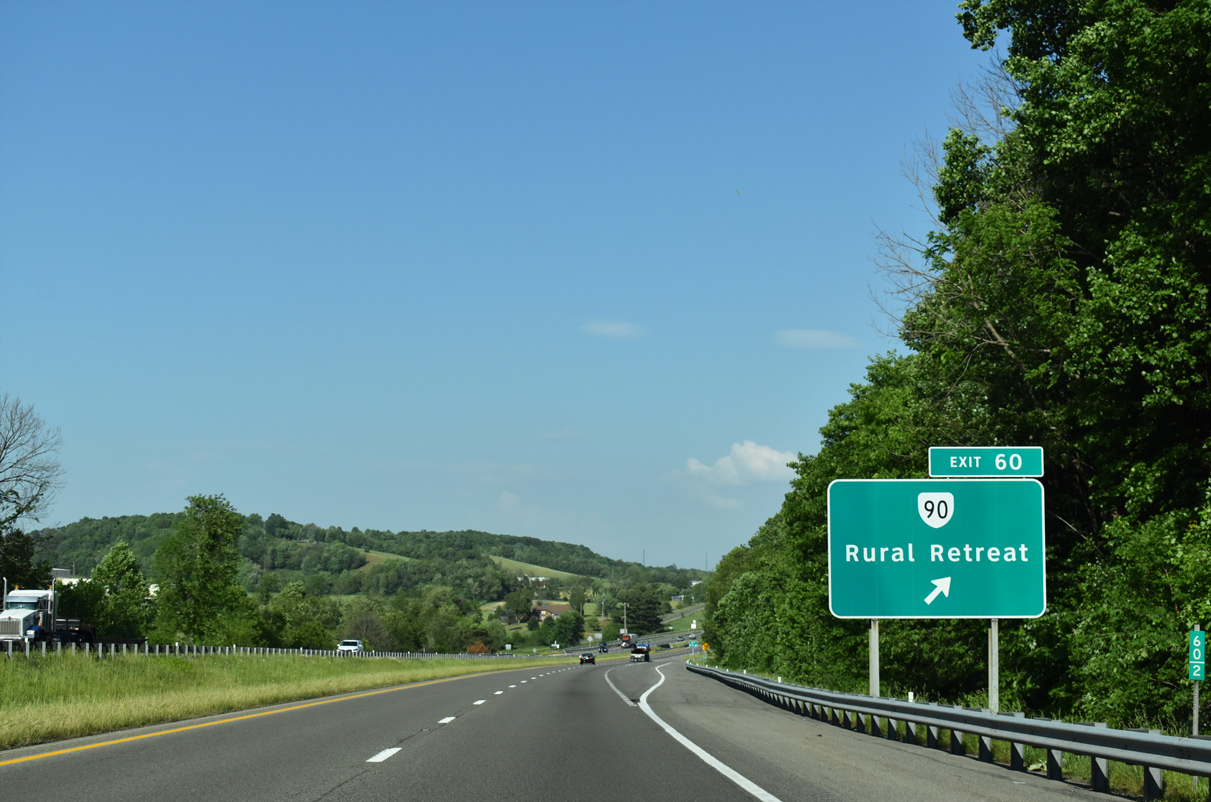
| A diamond interchange (Exit 60) joins Interstate 81 north with SR 90 (Main Street) south to U.S. 11 (Lee Highway) at Staley Crossroads and the town of Rural Retreat. 05/26/21 |
|
| SR 90 (Main Street) constitutes a 1.73 mile long route south from SR 680 (Black Lick Road) and I-81 to SR 749 at Baumgardner Avenue in Rural Retreat. SR 749 extends south from Main Street to Rural Retreat Lake Park and Fairview. 05/26/21 |
|
| The entrance ramp from Exit 60 forms an auxiliary lane to the adjacent cars only rest area. 05/26/21 |
|
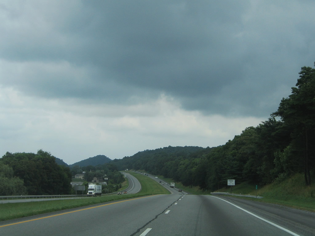
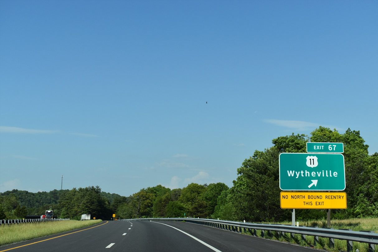
| Interstate 81 continues another ten miles east to Wytheville. Pine Ridge rises along the north side of the freeway to Exit 67. 05/26/21, 07/16/05 |
|
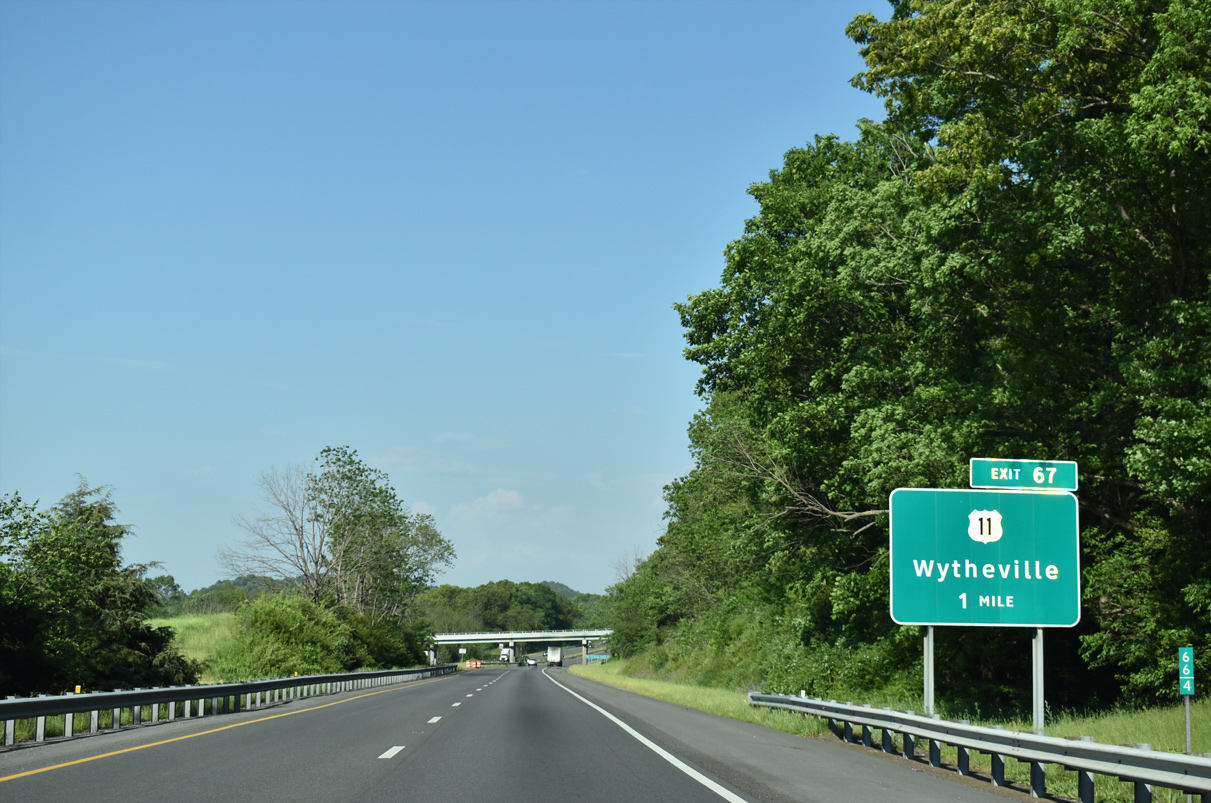
| U.S. 11 (Lee Highway) converges with Interstate 81 again beyond Cline at Exit 67. This is the first of three interchanges serving Wytheville. 05/26/21 |
|
| U.S. 11 (W Lee Highway) expands into a four lane highway east from the wye interchange at Exit 67 to Petunia and Wytheville. 05/26/21 |
|
| Interstate 81 ascends over Pine Ridge beyond Reed Creek. 05/26/21 |
|
| Spanning SR 656 (Ridge Road) north of Petunia and Pine Ridge along Interstate 81 north. 07/16/05 |
|
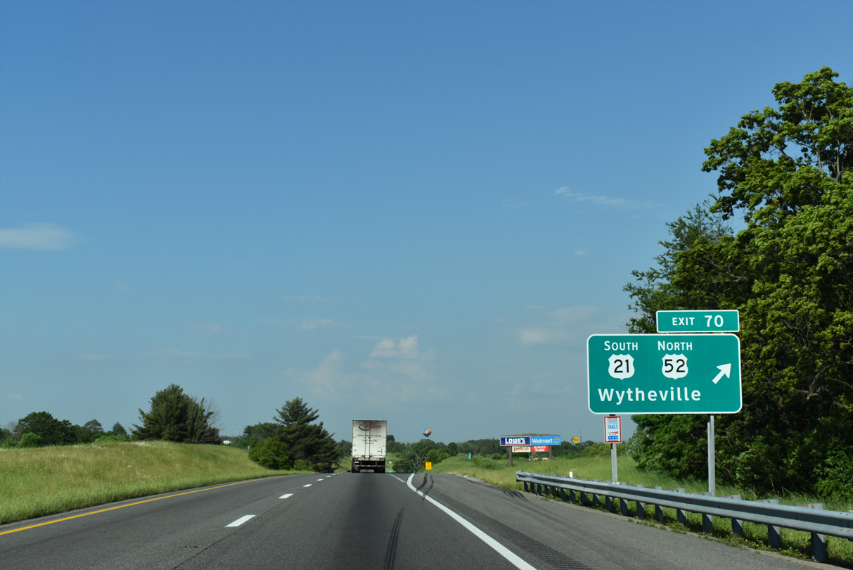
| Exit 70, where U.S. 52 south combines with I-81 to bypass Wytheville, represents the north end of U.S. 21. Prior to 1979, U.S. 21 continued north alongside U.S. 52 to Bluefield, West Virginia. 05/26/21 |
|
| U.S. 21 follows 4th Street into Downtown Wytheville, where it combines with U.S. 11 (Main Street) for 0.31 miles. U.S. 52 continues 4th Street west to Crowgeys and Stony Fork Road north to Favonia. 05/26/21 |
|
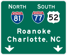
| U.S. 21 travels 35.15 miles in Virginia south from Wytheville to Independence and overall to Hunting Island, South Carolina. U.S. 52 winds northward across Walker Mountain to Interstate 77 at Bland. 05/26/21 |
|
| U.S. 52 combines with I-81 north for nine miles to Fort Chiswell. The former alignment overlapped with U.S. 21 south and U.S. 11 north through the town of Wytheville. 05/26/21 |
|
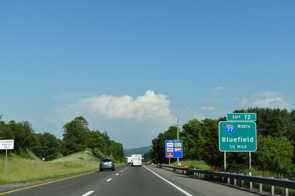
| I-81 north and U.S. 52 south converge with Interstate 77 at a trumpet interchange (Exit 72) beyond Peppers Ferry Road. Joining Charleston, West Virginia with Charlotte, North Carolina, I-77 overlaps with I-81 east for 8.01 miles. 05/26/21 |
|
| Exit 72 departs in one mile for Interstate 77 north to Bland, Bluefield and Beckley, West Virginia. 05/26/21 |
|
| Interstate 77 opened to traffic between Wytheville and Bland by 1972. Bluefield, West Virginia lies along the state line north of East River Mountain. 07/16/05 |
|
| I-77 passes through tunnels at Big Walker Mountain and East River Mountain north from Exit 72 and Wytheville 26.71 miles to the West Virginia line. 05/26/21 |
Page Updated 06-21-2021.

 North
North


 South
South