|
| The Georgia Welcome center lies just beyond the Chattahoochee River within the northwestern tip of Harris County. 07/26/22 |
|
| The Georgia welcome sign with the slogan "We're Glad Georgia's On Your Mind" replaced the previous design acknowledging the 1996 Summer Olympic Games that took place in Atlanta. 07/26/22 |
|
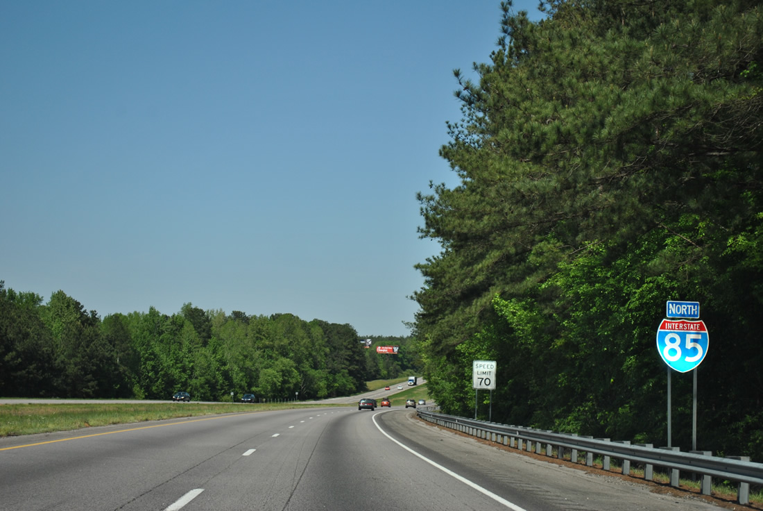
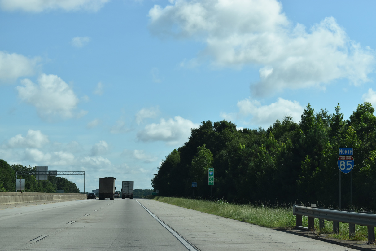
| The first confirming marker for Interstate 85 north in Georgia stands beside the rest area housing the Georgia welcome center. 07/26/22 |
|
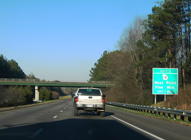
| Old West Point Road spans I-85 one mile southwest of the diamond interchange (Exit 2) with SR 18 (E 10th Street). SR 18 stems east from U.S. 29/SR 14 in the city of West Point. Eastward from Exit 2, SR 18 travels 7.1 miles to SR 219 at Jones Crossroads and 10.5 miles to I-185 (Exit 34). 01/16/04 |
|
| Interstate 85 enters Troup County just south of Long Cane Creek and Exit 2. The town of Pine Mountain lies 18 miles to the east at U.S. 27/SR 1. U.S. 29/SR 14 extend 10th Street west from SR 18 across the Chattahoochee River into Lanett, Alabama. 04/13/12 |
|
| The Troup County seat of LaGrange is the next city along Interstate 85 north in 13 miles. Atlanta is over an hour away. 04/13/12 |
|
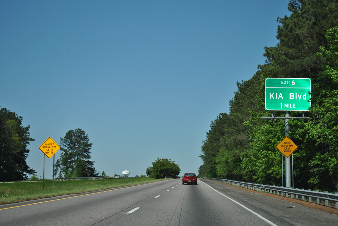
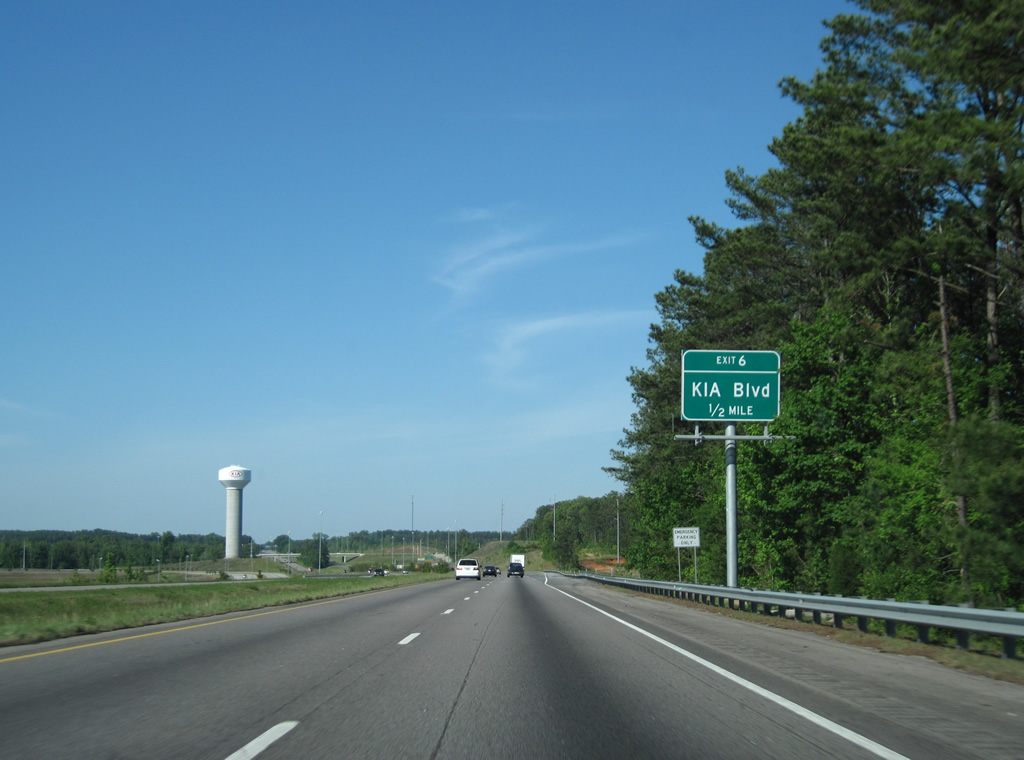
| The diamond interchange (Exit 6) joining I-85 with Kia Boulevard opened on December 10, 2008. The exchange serves Kia Motors Manufacturing Georgia, which began mass production on November 16, 2009.1 04/13/12 |
|
| Kia Boulevard extends Gabbettville Road east to I-85 and adjacent Warner Road. 04/13/12 |
|
| The KIA auto plant was built over the course of Gabbettville Road and Webb-Bartley Road along the west side of the freeway. Paralleling I-85 between Exit 2 and 6, Kia Parkway replaced that connection as the four lane highway serving the plant. 04/13/12 |
|
| One mile north of Kia Boulevard, Interstate 85 passes by the site of a former southbound rest area. 04/13/12 |
|
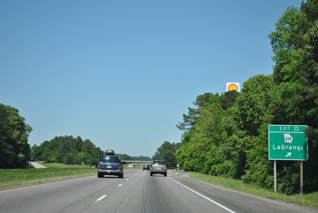
| Interstate 85 advances north to the city of LaGrange and the diamond interchange (Exit 13) with SR 219 (Whitesville Road). SR 219 runs 3.6 miles north to Downtown including a short overlap with U.S. 27. 04/13/12 |
|
| Exit 13 is the first of three LaGrange area interchanges along I-85 north. SR 219 continues southward from Exit 13 to Smiths Crossroads in 2.3 miles and Jones Crossroads (SR 18) in nine miles. Before I-185 was built, SR 219 was the main route between LaGrange and the city of Columbus. 04/13/12 |
|
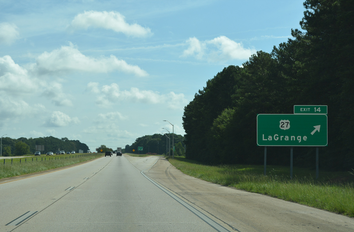
| U.S. 27 (Hamilton Road) converges with I-85 just east of SR 219 (Whitesville Road). U.S. 27 comprises the main route from LaGrange south to Pine Mountain and north to Carrollton. U.S. 27 also overlaps with U.S. 29 for 0.75 miles between Commerce Avenue and Vernon Street in LaGrange. 07/27/22 |
|
| Hamilton Road leads U.S. 27/SR 1 north from Exit 14 to SR 219 (Whitesville Road) outside Downtown LaGrange. U.S. 27/SR 219 previously followed a one way couplet of Main and Bull Streets, and later shifted onto a new alignment over a CSX Railroad line and Morgan Street along eastern reaches of Downtown. 07/27/22 |
|
| Continuing north from LaGrange, Interstate 85 travels 31 miles to the Coweta County seat of Newnan. Greenville, the seat of Meriwether County, is 20 miles to the east via SR 109 from forthcoming Exit 18. 07/27/22 |
|
| A parclo interchange (Exit 18) links I-85 north with SR 109 (Greenville Road) in one mile. 07/27/22 |
|
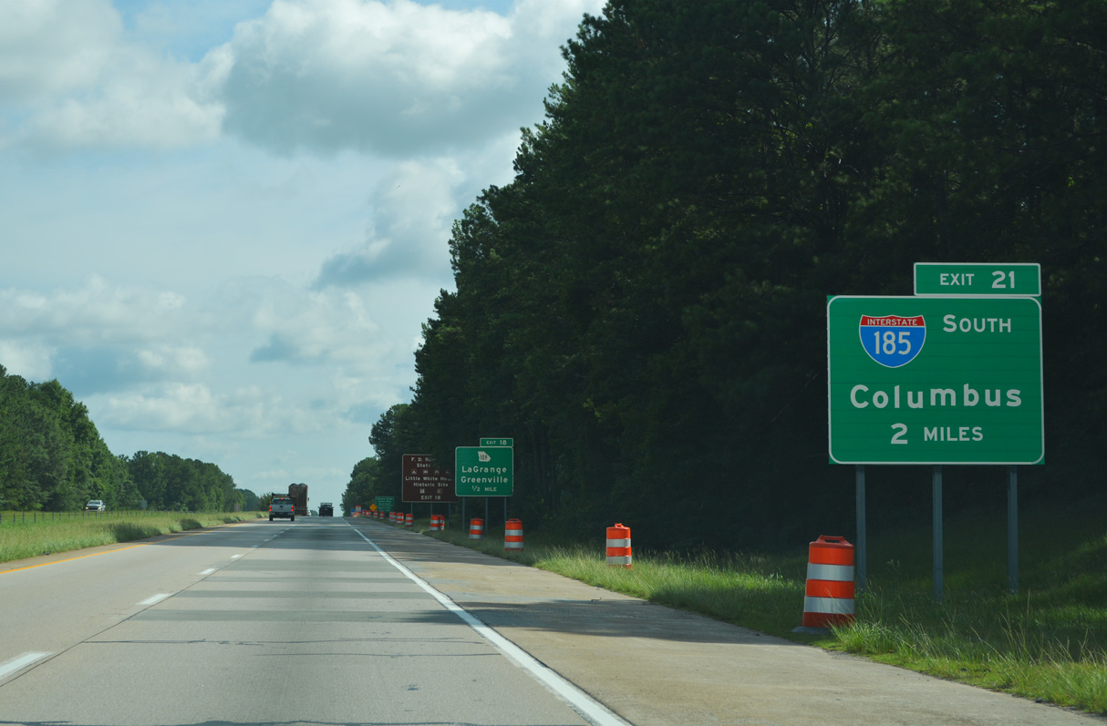
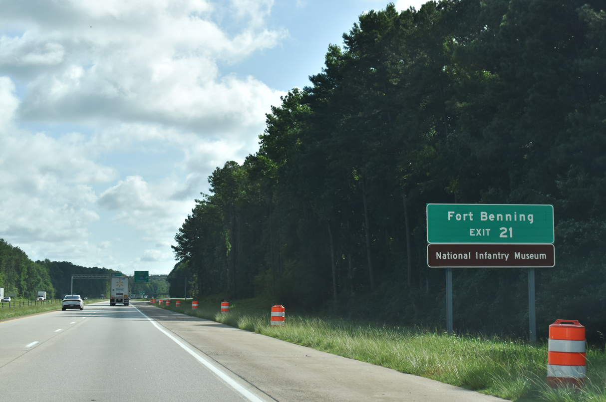
| The first advance sign for I-185 south precedes Exit 18 to SR 109 (Greenville Road). This is the first of ten branch routes for I-85 north to Durham, North Carolina. 07/27/22 |
|
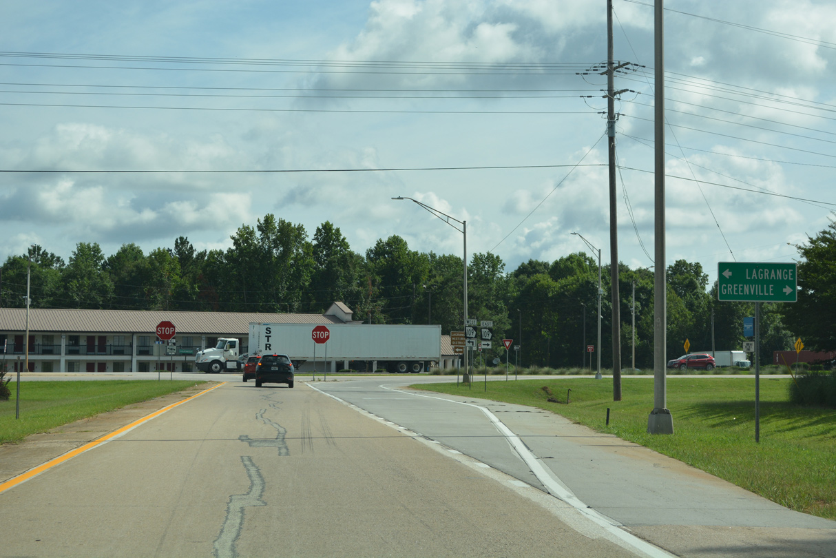
| SR 109 (Greenville Road) travels east from Lafayette Parkway in LaGrange to the city of Greenville. Connections with U.S. 27 Alternate lead traffic southward to the Warm Springs and Manchester area. 07/27/22 |
|
| Exit 18 leaves I-85 north for SR 109, 1.25 miles from the north end of Interstate 185 at Exit 21. 07/27/22 |
|
| SR 109 runs west along Lafayette Parkway to Vernon Street and an overlap with U.S. 29/SR 14. U.S. 29/SR 14-109 continue west from LaGrange to split at Lees Crossing. 07/27/22 |
|
| SR 109 crosses over Interstate 185 without access on the five miles eastward to Mountville. 07/27/22 |
|
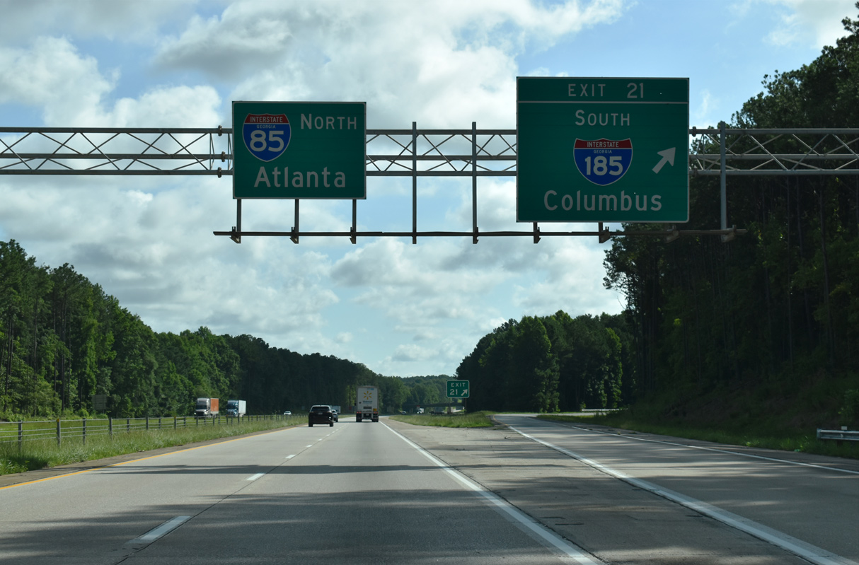
| Northbound I-85 passes by a landfill ahead of Interstate 185. Exit 21 for I-185 references the closest milepost near the southbound ramp, otherwise this would be Exit 19 for northbound. 04/13/12 |
|
| I-185 travels 36 miles south to Muscogee County and the city of Columbus. The Columbus city and Muscogee County Governments consolidated in 1971, similar to Athens and Clarke County, and Jacksonville and Duval County, Florida. 07/27/22 |
|
| Lindsey Creek Parkway extends south from the end of Interstate 185 at U.S. 27/280-SR 520 (Victory Drive) into Fort Moore. 07/27/22 |
|
| A wide modified trumpet interchange (Exit 21) joins I-85 with I-185, 45 miles north of Downtown Columbus. Roadway stubs at the exchange allude to an unconstructed extension of the highway northward to U.S. 29 near Hogansville. 07/27/22 |
|
| A pair of weigh stations line Interstate 85 north of I-185 and the Hines Road overpass. 07/27/22 |
|
| Interstate 85 remains rural over the succeeding 13 miles to Hogansville. Newnan is 25 miles to the northeast followed by Atlanta in less than an hour. 07/27/22 |
|
| Continuing past the first of two stations operating along Interstate 85 northbound in Georgia. The second lies in Franklin County toward the S.C. state line. 07/27/22 |
|
| Interstate 85 crosses Flat Creek northeast of the Mountville Hogansville overpass. 07/27/22 |
|
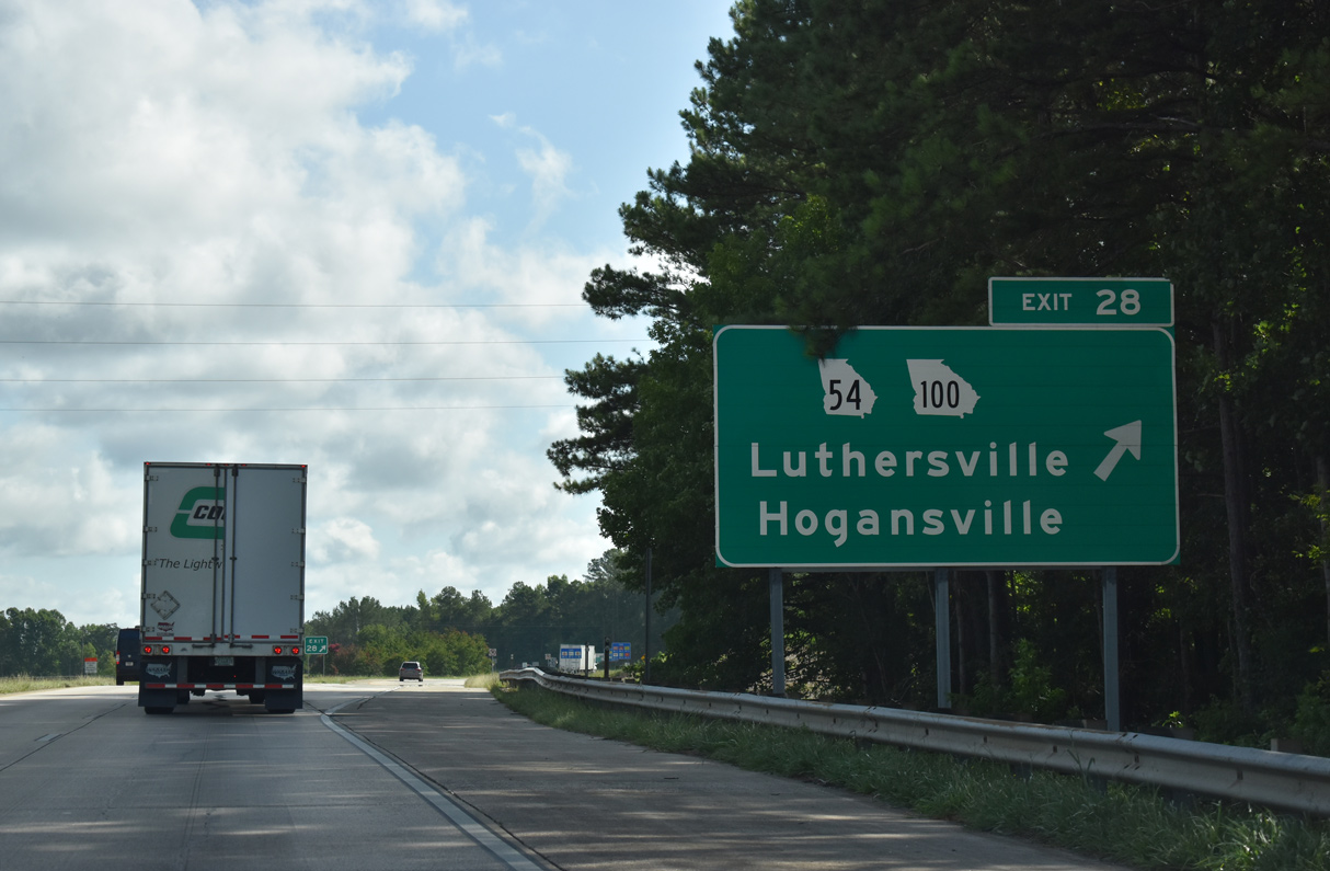
| SR 54/100 combine though eastern reaches of Hogansville to Interstate 85 at Exit 28. 07/27/22 |
|
| SR 54/100 split 3.3 miles west of Exit 28 at U.S. 29 (Hogansville Road) in Hogansville. SR 54 continues westward from there along Main Street to Harrisonville. SR 100 joins U.S. 29 north for a half mile before resuming west to Corinth and U.S. 27 near Franklin. 07/27/22 |
|
| SR 54/100 (Lone Oak Road) part ways immediately east of I-85 at the Meriwether County line. SR 100 heads 14 miles southeast to Greenville. SR 54 turns northeasterly through Lone Oak, eight miles to Luthersville and U.S. 27 Alternate. 07/27/22 |
|
| Curving northeast from Hogansville along Interstate 85 north. The Coweta communities of Grantville and Newnan are next in 7 and 17 miles respectively. Atlanta is 51 miles away. 04/13/12, 07/27/22 |
|
| Northbound Interstate 85 runs through the northwestern corner of Meriwether County for 6.8 miles. 07/27/22 |
|
| Advancing to the Coweta County line, Interstate 85 expands to six overall lanes. A $218.02 million project widened the freeway from Forrest Road, near milepost 33, to SR 34 / Exit 47 between Winter 2007 and Summer 2010.2 07/27/22 |
|
| U.S. 29 travels seven miles north of Hogansville to Grantville. U.S. 29 and I-85 meet directly at a folded diamond interchange (Exit 35) for the first time since Opelika, Alabama, and again at Exit 41 in six miles. 07/27/22 |
|
| Exit 35 departs I-85 north for U.S. 29. U.S. 29 north combines with U.S. 27 Alternate from Moreland to the east 7.4 miles to Downtown Newnan. 07/27/22 |
|
| Continuing north, I-85 lowers to cross Messiers Creek. 2007-10 widening added lanes within the median. 04/13/12 |
|
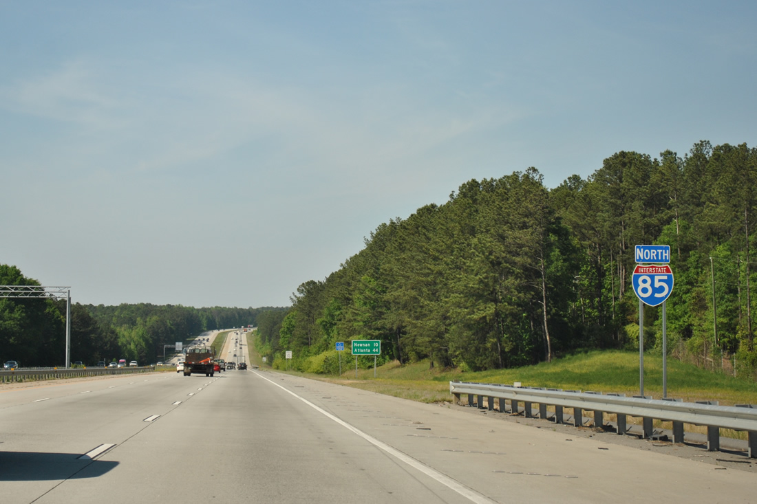
| Newnan follows from I-85 north in ten miles. Atlanta is 44 miles away. 07/27/22 |
|
| One mile south of Exit 41 with U.S. 29/27 Alternate on Interstate 85 north near Newnan Coweta County Airport (CCO). 07/27/22 |
|
| SR 16 joins U.S. 29/27 Alternate one half mile north of I-85 at the settlement of Oaklawn. SR 16 heads east three miles from there to Raymond and eight miles to Sharpsburg. SR 16 comprises a longer route from Newnan to Senoia and Griffin, 31 miles to the east. 07/27/22 |
|
| A diamond interchange joins I-85 with U.S. 29/U.S. 27 Alternate at Exit 41. U.S. 27 Alternate forms an arc between Columbus and Carrollton to the east of U.S. 27. 07/27/22 |
|
| U.S. 29/27 ALT combine with SR 16 west along Greenville Street into the city of Newnan. The three routes partition into a one way couplet along Jefferson and Jackson Streets through Downtown and split at Clark Street. 07/27/22 |
|
| Beyond Newnan, U.S. 27 ALT/SR 16 join SR 34 west to Whitesburg while U.S. 29 resumes a northeasterly course to Madras. U.S. 29 remains west of I-85 to Downtown Atlanta. 06/21/05 |
|
| SR 16 passes over Interstate 85 ahead of this northbound reassurance marker. 07/27/22 |
|
| The high rise of Piedmont Newnan Hospital appears as Interstate 85 descends toward the crossing of Turkey Creek, 38 miles south of Atlanta. 07/27/22 |
|
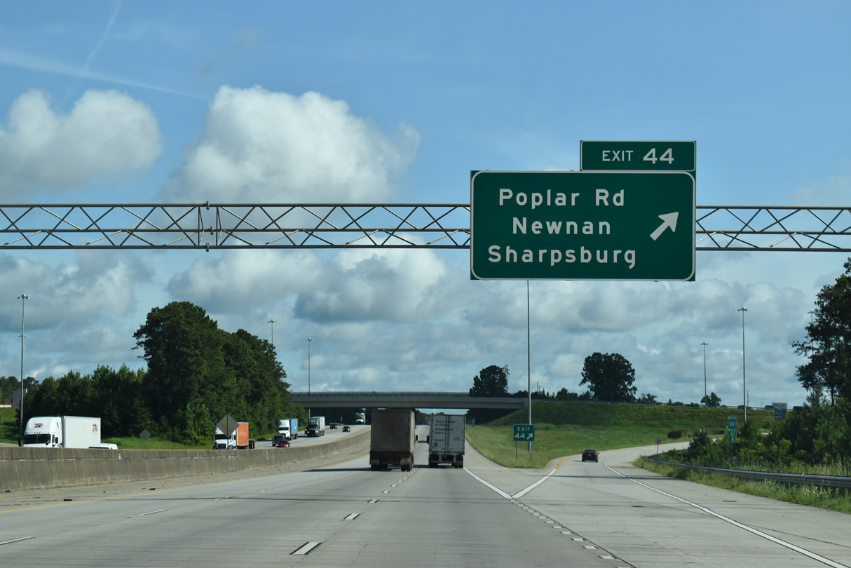
| The diamond interchange (Exit 44) with Poplar Road was approved by GDOT in July 2012. Ground breaking on the $28.8 million project was May 2016.2 07/27/22 |
|
| Exit 44 to Poplar Road opened to traffic on March 20, 2019. The exchange was first discussed by the Coweta County Board of Commissioners in 1996.2 07/27/22 |
|
| Poplar Road leads 4.8 miles east from Exit 44 to SR 16 at Orr Road. SR 16 travels east from there to Sharpsburg, Turin and Senoia. 07/27/22 |
|
| West from Exit 44, Poplar Road connects with Turkey Creek Road and Martin Luther King, Jr. Drive in Newnan at roundabout in 1.2 miles. 07/27/22 |
|
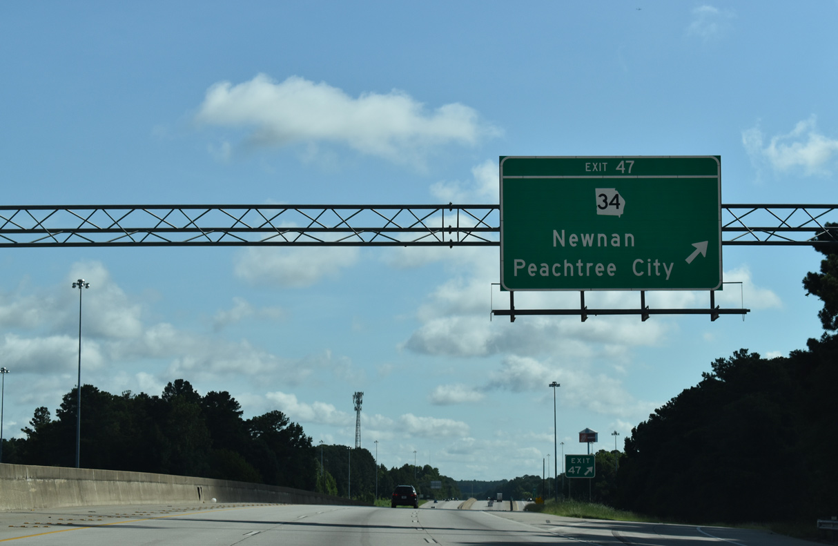
| SR 34 (Bullsboro Drive) meets Interstate 85 along eastern reaches of Newnan at Exit 47. The four lane highway is the main route between the Coweta County seat and Peachtree City, ten miles to the east. 07/27/22 |
|
| The LINC pedestrian bridge was erected across Interstate 85 on the weekend of October 16-19 in 2020. The LINC is a 26 mile long multi use trail serving Newnan.4 07/27/22 |
|
| I-85 progresses through the suburban outskirts of Newnan north to SR 34 (Bullsboro Drive). A mix of retail and industrial parks surround the forthcoming exchange. Tying into SR 34 just west of Exit 47 is SR 34 Bypass (Millard Farmer Industrial Boulevard), the truck route leading west to Gloverton and West Newnan. 04/13/12 |
|
| Entering the parclo interchange (Exit 47) with SR 34 (Bullsboro Drive) on I-85. SR 34 continues west of Newnan to Powers Crossroads, Franklin, Texas, Waresville and the Alabama state line at SR 22. The state route concludes 7.9 miles to the east at SR 54. 07/27/22 |
|
| Crossing over Bullsboro Drive, Interstate 85 expands further to an eight lane freeway. Widening of I-85 northward to the Fulton County line occurred between Fall 2006 and Summer 2010 at a cost of $107.4 million.5 07/27/22 |
|
| SR 154 (McCollum-Sharpsburg Road) leads north from SR 34 at Thomas Crossroads to meet Interstate 85 at a diamond interchange (Exit 51) in one mile. 07/27/22 |
|
| SR 154 (McCollum-Sharpsburg Road) runs eight miles south to SR 54 at Sharpsburg. SR 154 north joins U.S. 29 six miles northward to Palmetto from McCollum nearby. 07/27/22 |
|
| Exit 51 leaves Interstate 85 north for SR 154. Raymond Hill Road stems east from SR 154 nearby to Major. SR 154 converges with I-85 again at Downtown Atlanta. 07/27/22 |
|
| Interstate 85 continues into a forested valley ahead of Shoal Creek. 04/13/12 |
|
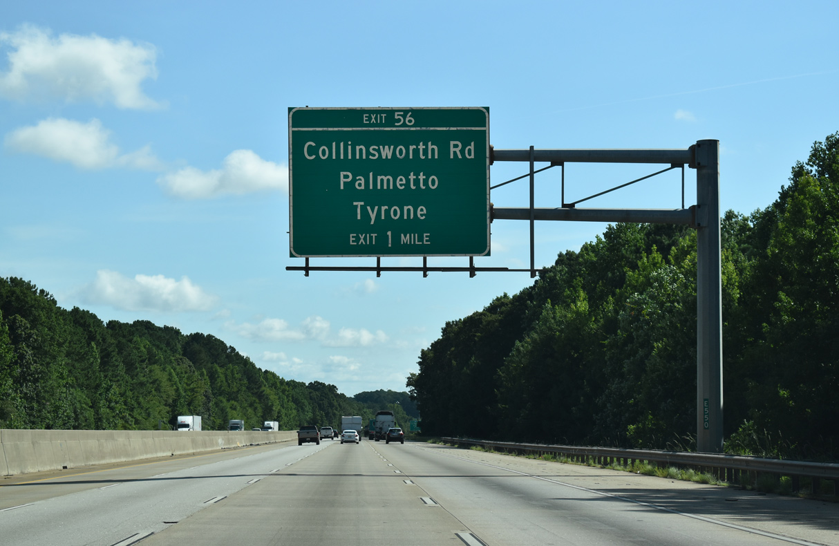
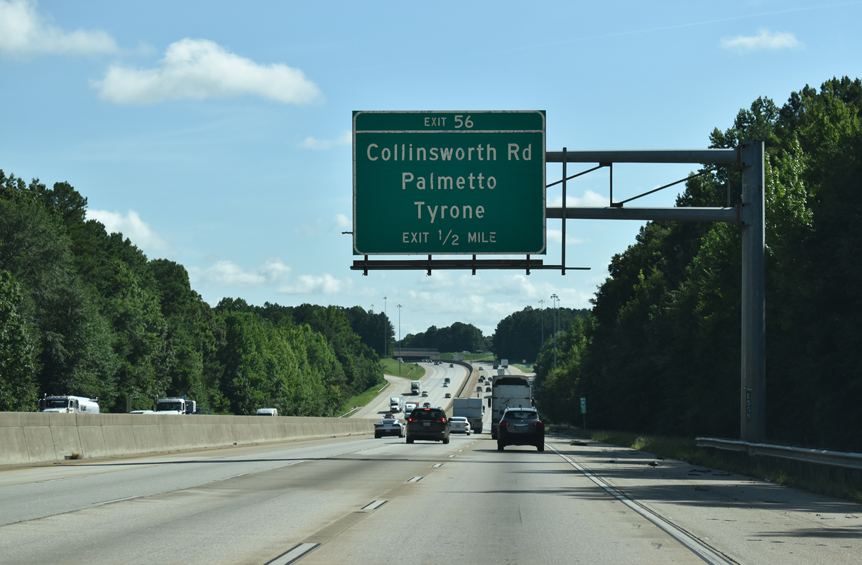
| The city of Palmetto is the next destination along I-85 north via Exit 56. Atlanta is 29 miles away. 07/27/22 |
|
| A diamond interchange (Exit 51) joins I-85 north with Collinsworth Road outside Palmetto. 07/27/22 |
|
| Collinsworth Road branches northwest from Weldon Road nearby en route to Fayetteville Road across the Fulton County line. Eastward, Collinsworth Road heads to the town of Tyrone and Palmetto Road beyond the Fayette County line. 07/27/22 |
|
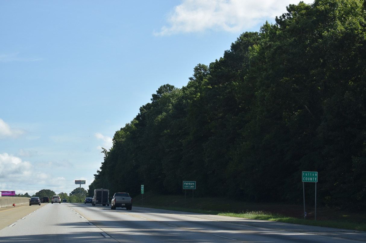
| Palmetto lies two miles to the northwest of Exit 56 with Collinsworth Road in southern Fulton County. 09/28/10 |
|
| Widening of Interstate 85 to eight lanes between the Fulton County line and SR 74 / Exit 61 occurred between Winter 2007 and Summer 2010 as part of a $51.3 million project.5 07/26/22 |
Page Updated 01-29-2024.

 North
North