
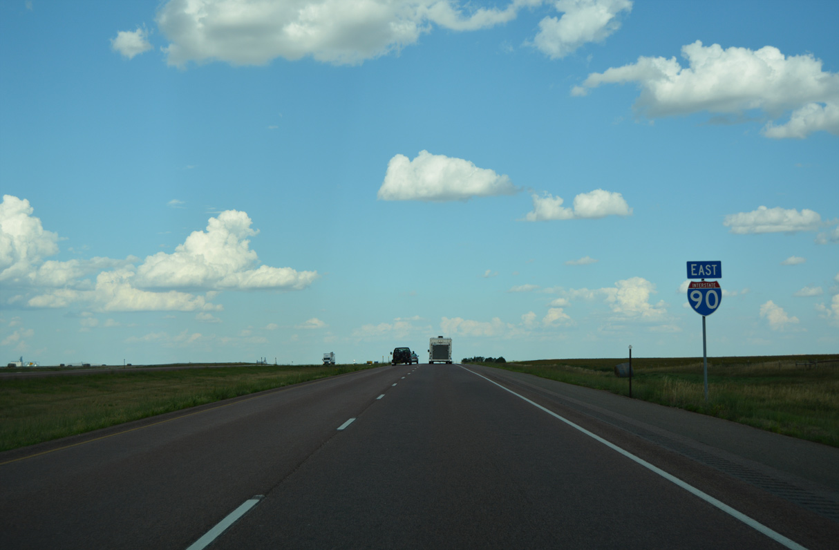
 East
East  South
South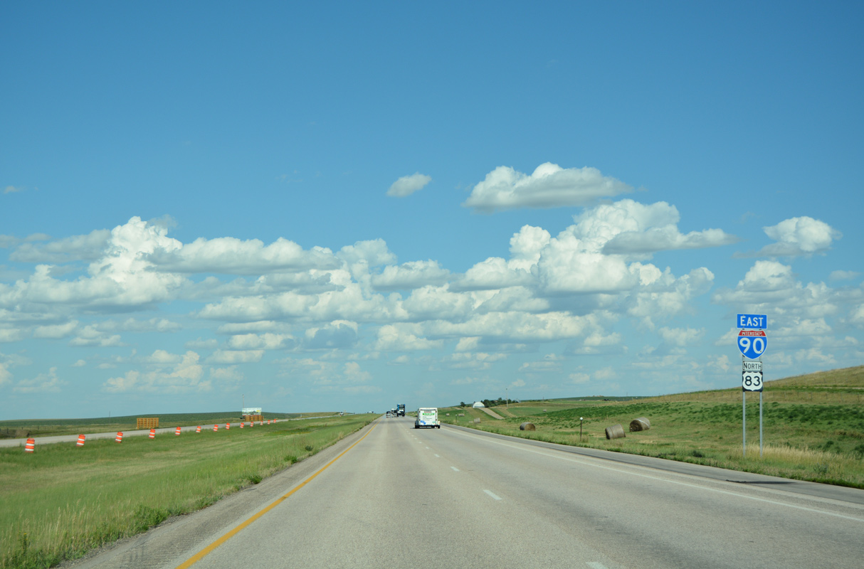
08/12/16

Remaining parallel to SD 248 (old U.S. 16), Interstate 90 east and U.S. 83 north advance from Draper to Vivian.
08/12/16

The ranch exit with County Road S10 is next along I-90/U.S. 83 eastbound.
08/12/16

08/12/16

08/12/16
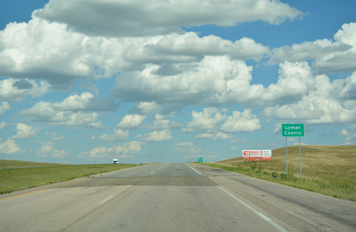
I-90/U.S. 83 enter Lyman County to the south of Medicine Creek.
08/12/16

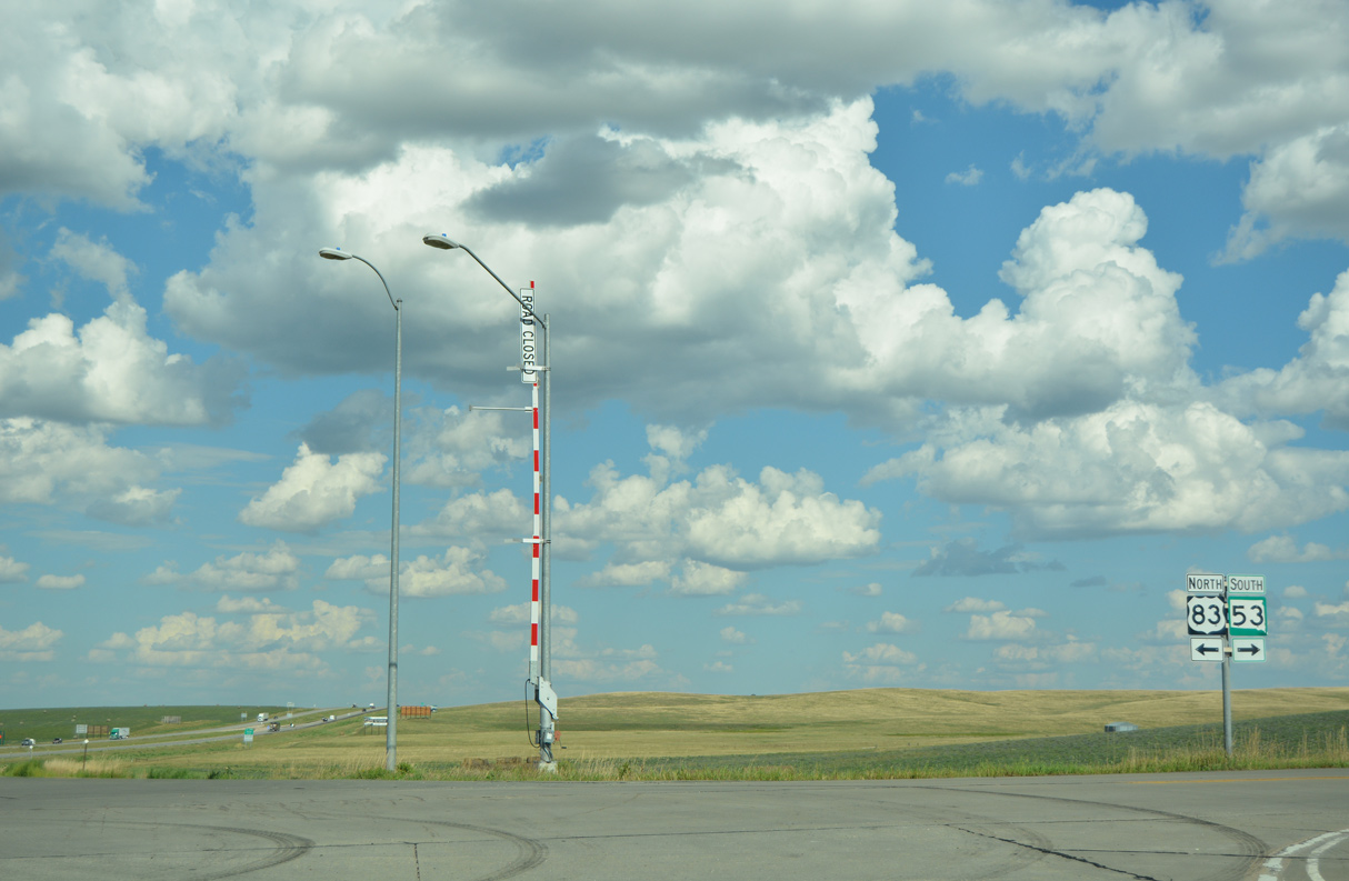
U.S. 83 north parts ways with Interstate 90 east at the diamond interchange (Exit 212) with SD 53.
08/12/16

SD 53 runs 32.92 miles south to SD 44 in Mellette County.
08/12/16

08/12/16

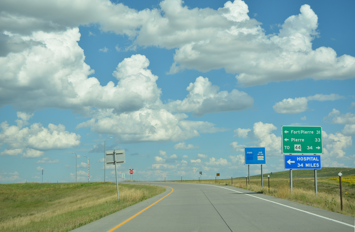
Traversing areas of Fort Pierre National Grassland, U.S. 83 continues 31.56 miles north to an overlap with U.S. 14/SD 34 in the capital city of Pierre.
08/12/16

Exit 214 connects Interstate 90 with the former business route north into the unincorporated community of Vivian.
08/12/16
08/12/16
Business Loop I-90 to Vivian overlapped with U.S. 83 north from Exit 212 to SD 248 east.
08/12/16
East
A diamond interchange (Exit 214) links Interstate 90 with 239th Avenue (old Business Loop I-90) a half mile south of SD 248 (old U.S. 16) at Vivian.
08/12/16

08/12/16

08/12/16

08/12/16

08/12/16

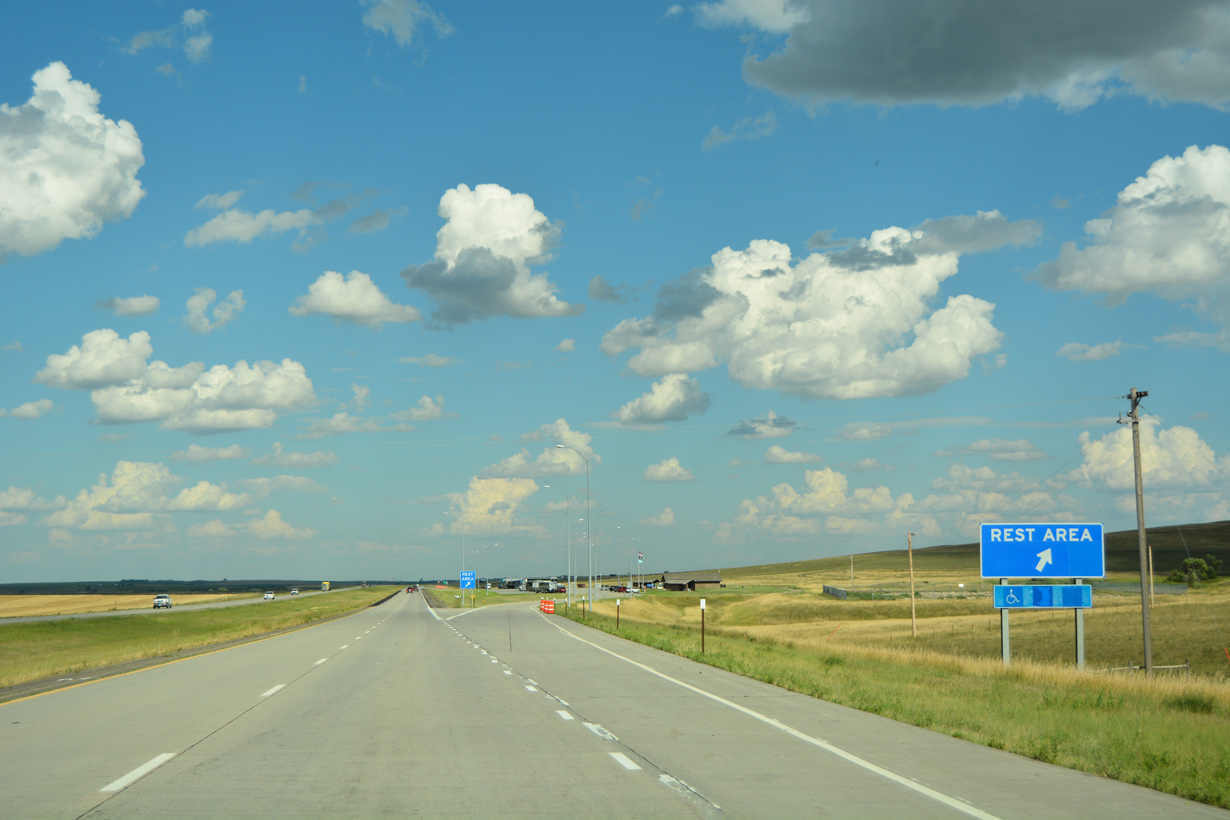
The fourth rest area along Interstate 90 eastbound in South Dakota precedes Exit 220.
08/12/16
08/12/16
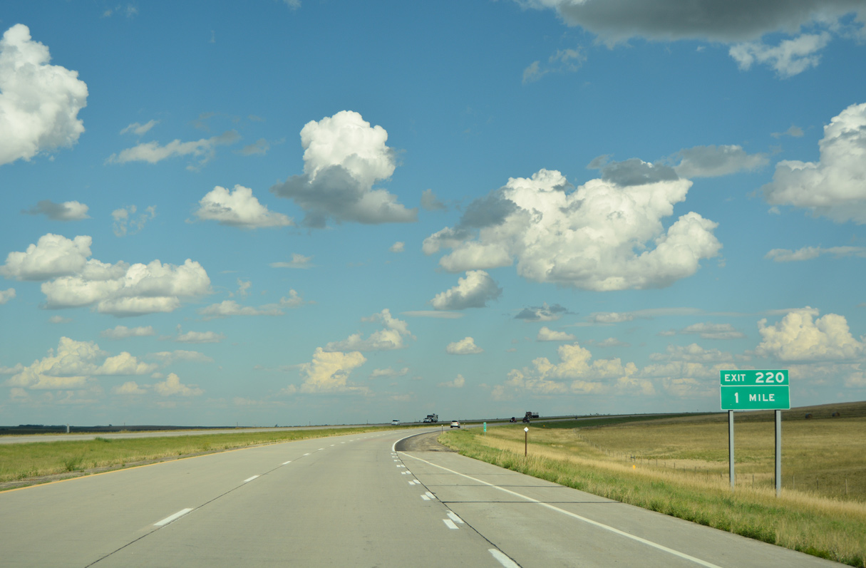
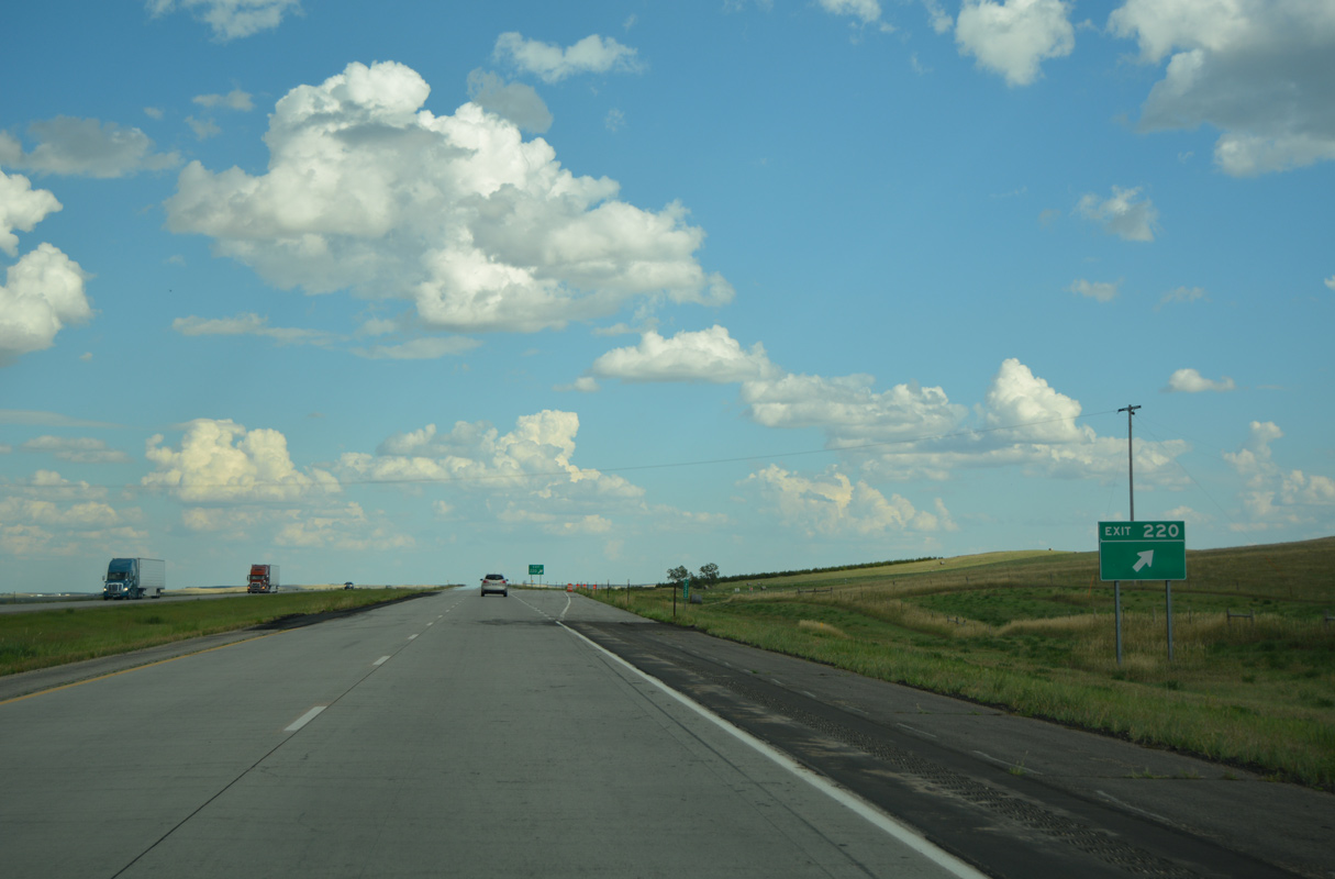
Angling southeast, Interstate 90 progresses toward the ranch exit with 300th Avenue.
08/12/16
08/12/16

08/12/16

The small city of Presho is served from Interstate 90 by a 1.4 mile long Business Loop.
08/12/16

Business Loop I-90 follows 305th Avenue north from the diamond interchange at Exit 225 to SD 248 (Old Highway 16) east into Presho.
08/12/16
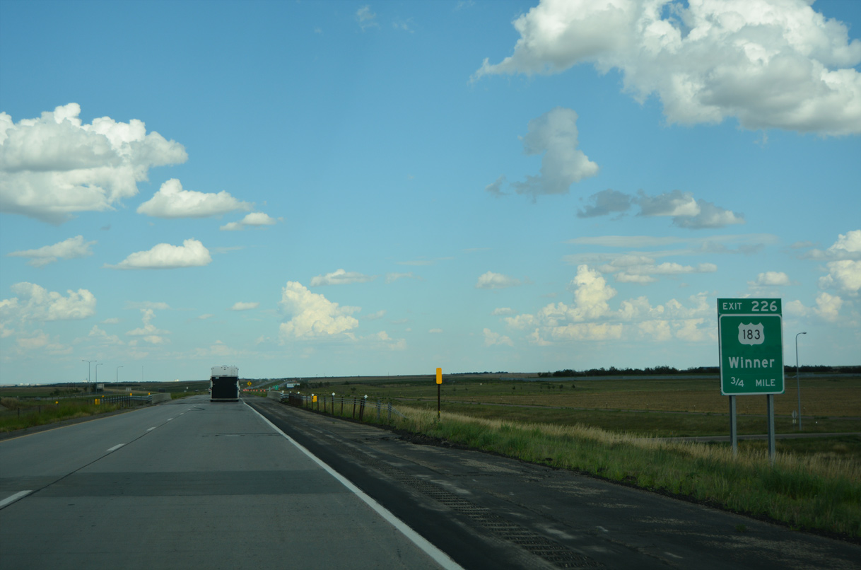
Business Loop I-90 returns to I-90 from Presho at the diamond interchange (Exit 226) with U.S. 183 south.
08/12/16

08/12/16

U.S. 183 heads 35.82 miles south from I-90 and Business Loop I-90 at Presho to U.S. 18 at Jordan Junction.
08/12/16

The Tripp County seat of Winner lies 44 miles to the southeast along U.S. 18/183.
08/12/16

The exchange with Interstate 90 represents the north end of U.S. 183. U.S. 183 travels south Hays, Kansas, Woodward, Oklahoma and Austin, Texas to U.S. 77 at Refugio, Texas.
08/12/16

08/12/16

08/12/16
08/12/16

SD 273 stems 12.72 miles north from the diamond interchange at Exit 235 to SD 1806 and Iron Nation Road in the Lower Brule Indian Reservation.
08/12/16

The town of Kennebec spreads north of Interstate 90 and adjacent SD 248 along SD 273.
08/12/16

08/12/16

08/12/16

08/12/16

08/12/16

08/12/16

08/12/16

The ranch exit with 321st Avenue joins Interstate 90 with the nearby settlement of Lyman.
08/12/16

08/12/16

08/12/16

08/12/16

The east end of SD 248 ties into Interstate 90 at Exit 248 south of SD 47 and the town of Reliance.
08/12/16

08/12/16

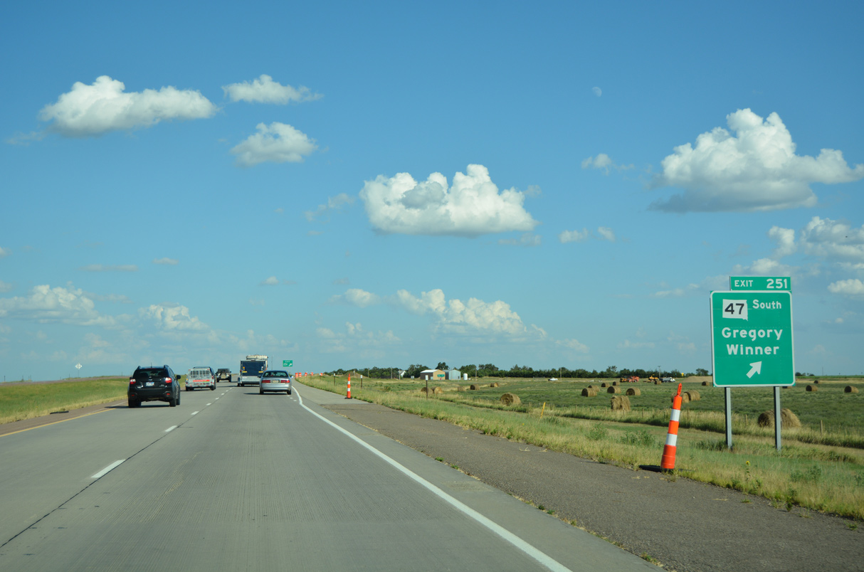
SD 47 leads north from SD 248 at Reliance to Fort Thompson and Highmore and southeast to Interstate 90 at Exit 251.
08/12/16

08/12/16

SD 47 turns south at the diamond interchange (Exit 251) with Interstate 90 to U.S. 18 at Gregory.
08/12/16
08/12/16
08/12/16
08/12/16

08/12/16

08/12/16
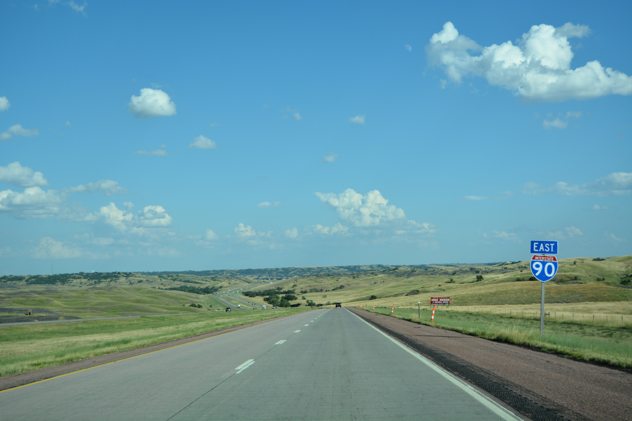
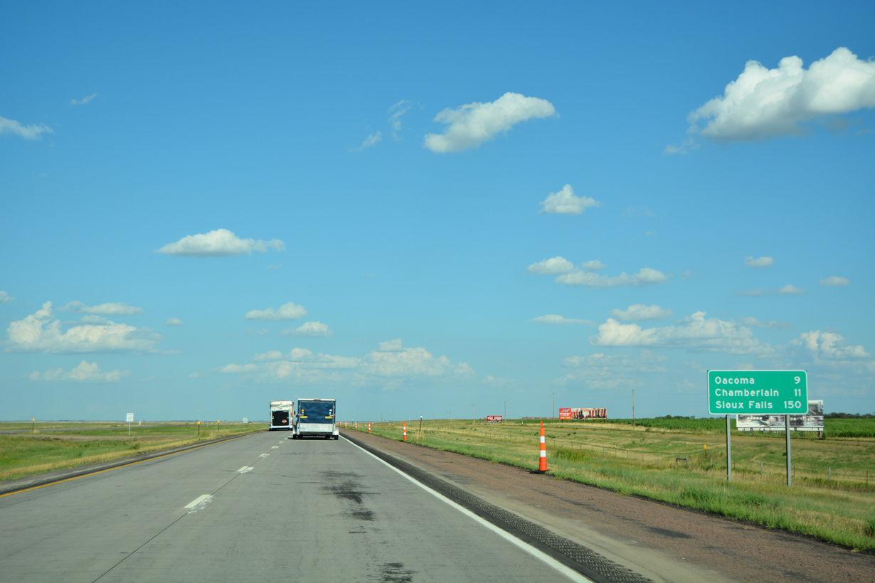
Curving southeast, Interstate 90 gradually lowers toward Lake Francis Case along the Missouri River.
08/12/16
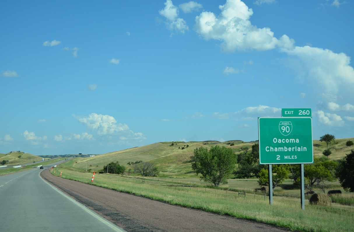
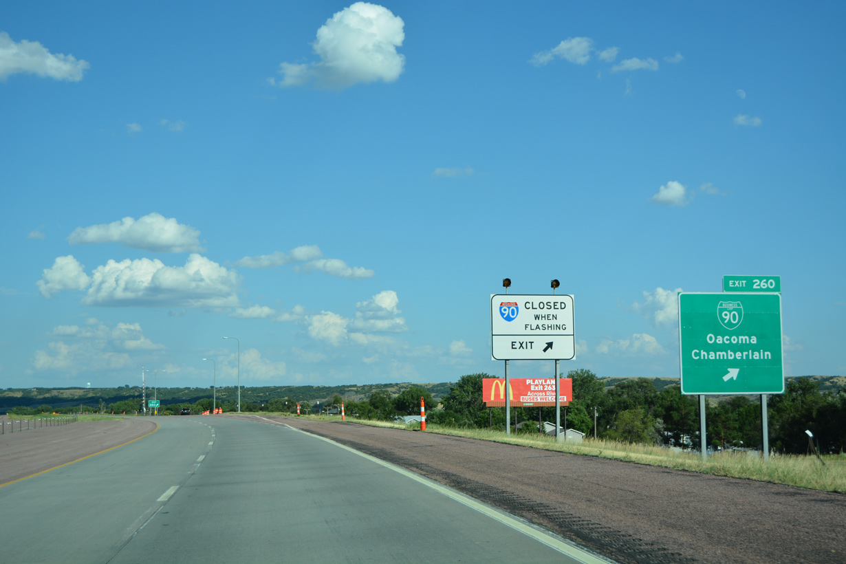
Business Loop I-90 east to Chamberlain branches north from I-90 at Exit 260 and Dougan Avenue in the town of Oacoma.
08/12/16

Business Loop I-90 heads northeast 3.48 miles from the diamond interchange at Exit 260 to combine with SD 50 (King Street) at Main Street in Downtown Chamberlain.
08/12/16

08/12/16
Business Loop I-90 runs 6.8 miles overall between Exit 260 at Oacoma and Exit 265 in the city of Chamberlain.
08/12/16
08/12/16

08/12/16

08/12/16

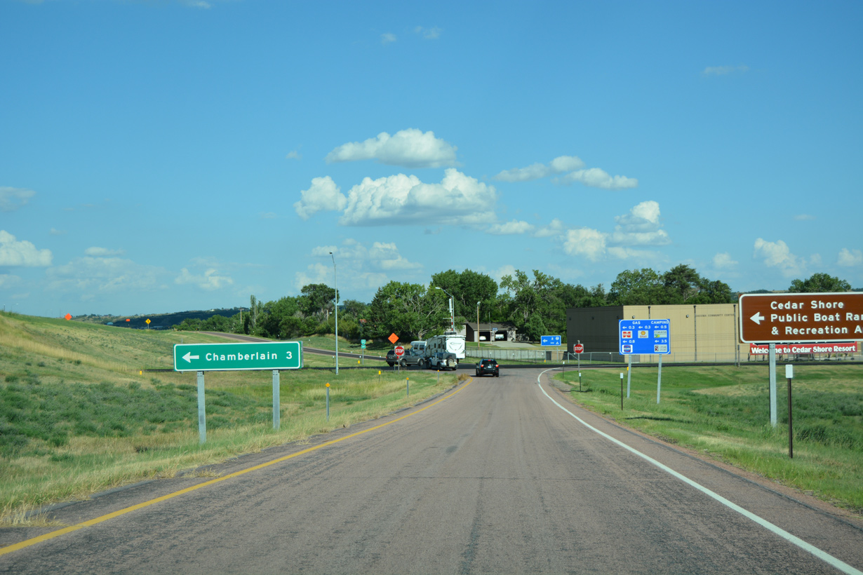
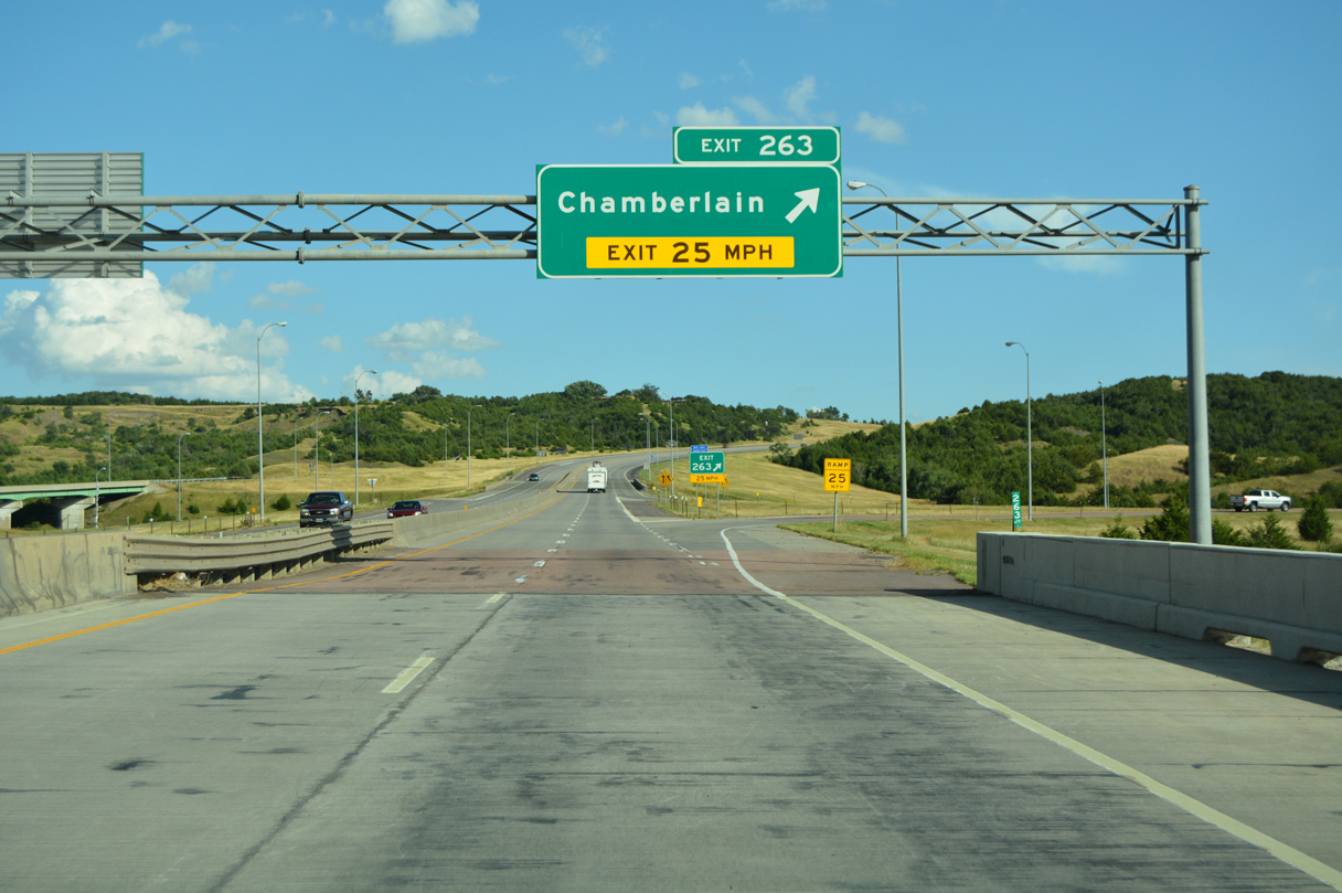
A folded diamond interchange (Exit 263) lies across the Lake Francis Case with S Main Street in Chamberlain.
08/12/16
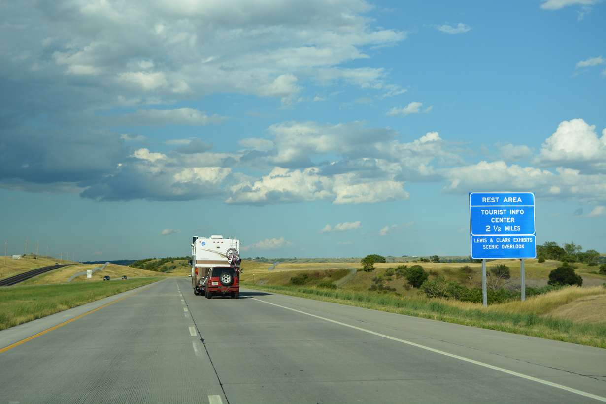
A rest area and tourist information center follows Exit 263 above the bluffs overlooking the Missouri River.
08/12/16

08/12/16

Forming Lake Francis Case, Fort Randall Dam impounds water along the Missouri River at Pickstown to the south.
08/12/16

The Missouri River marks the Brule County line across Interstate 90.
08/12/16

The Dakota Southern Company Railroad line parallels Interstate 90 across Lake Francis Case to the southwest.
08/12/16

The Lewis and Clark Memorial Bridge takes Interstate 90 across Lake Francis Case. The 2,030.9 foot long deck plate girder bridge was built in 1974.1
08/12/16

08/12/16

08/12/16
08/12/16


Sources:
- Lewis and Clark Memorial Bridge. BridgeHunter.com.
Photo Credits:
08/12/16 by AARoads
Page Updated 02-24-2023.