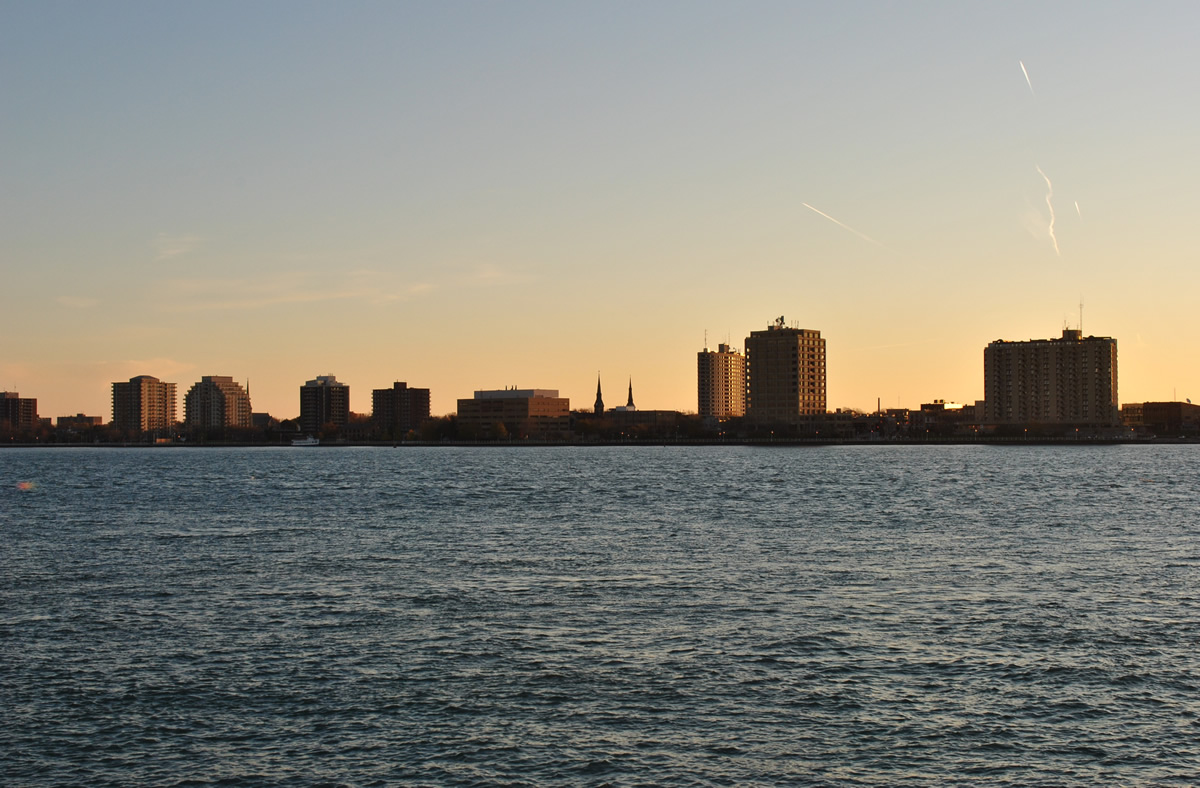
The skyline of Sarnia, Ontario faces Port Huron in this view from Vantage Point, three blocks east of Business Loop I-69/94 (Military Street) in Port Huron. 11/06/11.
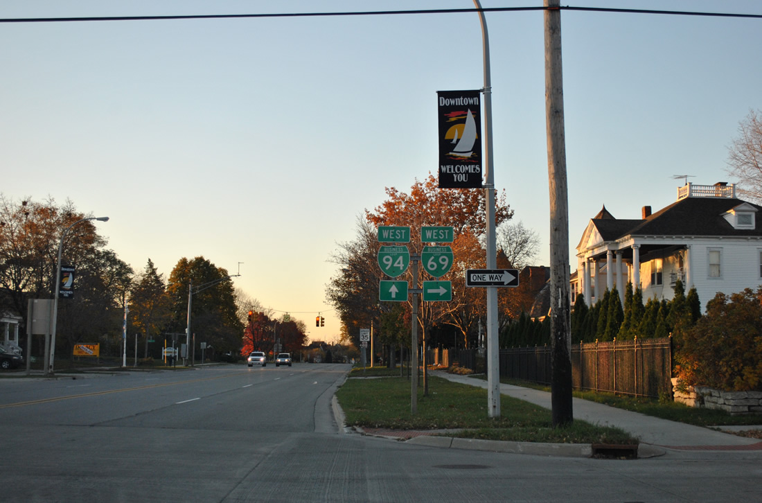
The easternmost business loop for Interstate 94 replaced M-25 northeast from Exit 266 to Exit 275. Designated by 1987 as M-25 was decommissioned,1 the route follows Gratiot Boulevard through Marysville and the north end of M-29 (Bushna Highway). Northward from Bushna Highway, Gratiot Boulevard parallels the St. Clair River to a couplet at South Park in Port Huron. Military Park carries the eastbound route while Electric Avenue accommodates westbound drivers.
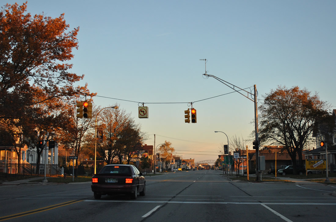
The two one-way streets combine and carry Military Street northward to the couplet of Griswold Street (west) and Oak Street (east), the route of Business Loop I-69 leading to the west split of Interstates 69 and 94. Business Loop I-69 & 94 combine northward along Military (Main) Street across the Black River onto Huron Avenue through Downtown Port Huron. Pine Grove Avenue bends westward from Huron Avenue as the final leg of both Business Loops to their end at the Blue Water Bridge to Sarnia, Ontario.
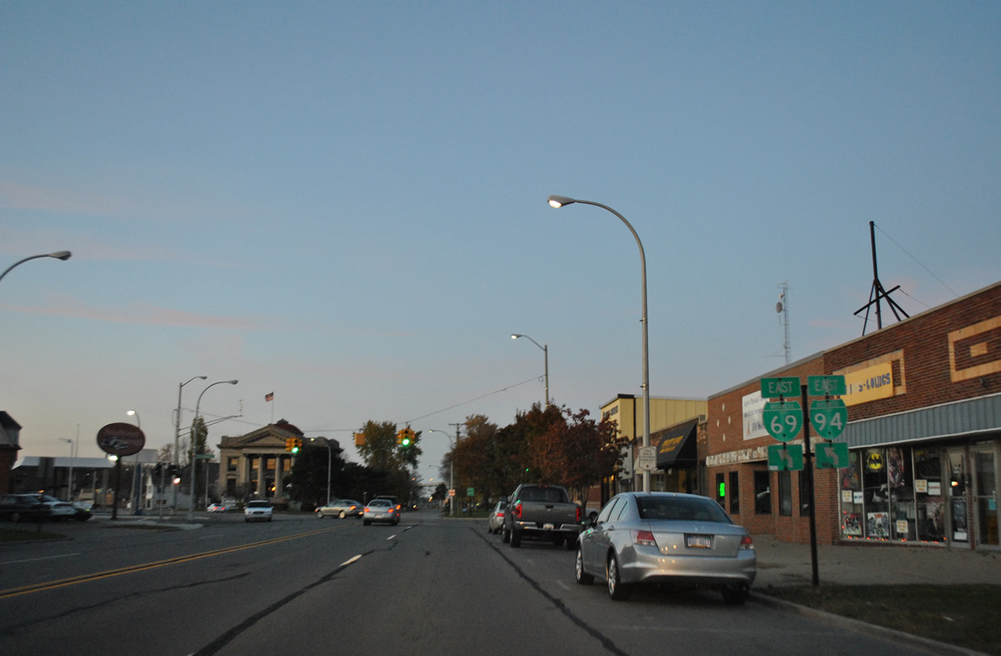
A $90 million reconstruction project involving 2.2 miles of Interstates 69 and 94 east from Lapeer Road to the Bluewater Bridge included the addition of a new northbound off-ramp to Pine Grove Avenue (Business Loop I-69/94). The new ramp departs from the expanded Black River Bridge to replace a left exit ramp onto a connector leading north to Pine Grove Avenue near Garfield Street. Work also involved the demolition of homes along Scott Avenue and the removal of Mansfield Street west of Pine Grove Avenue. Construction was undertaken between March 2011 and October 19, 2012.2
|
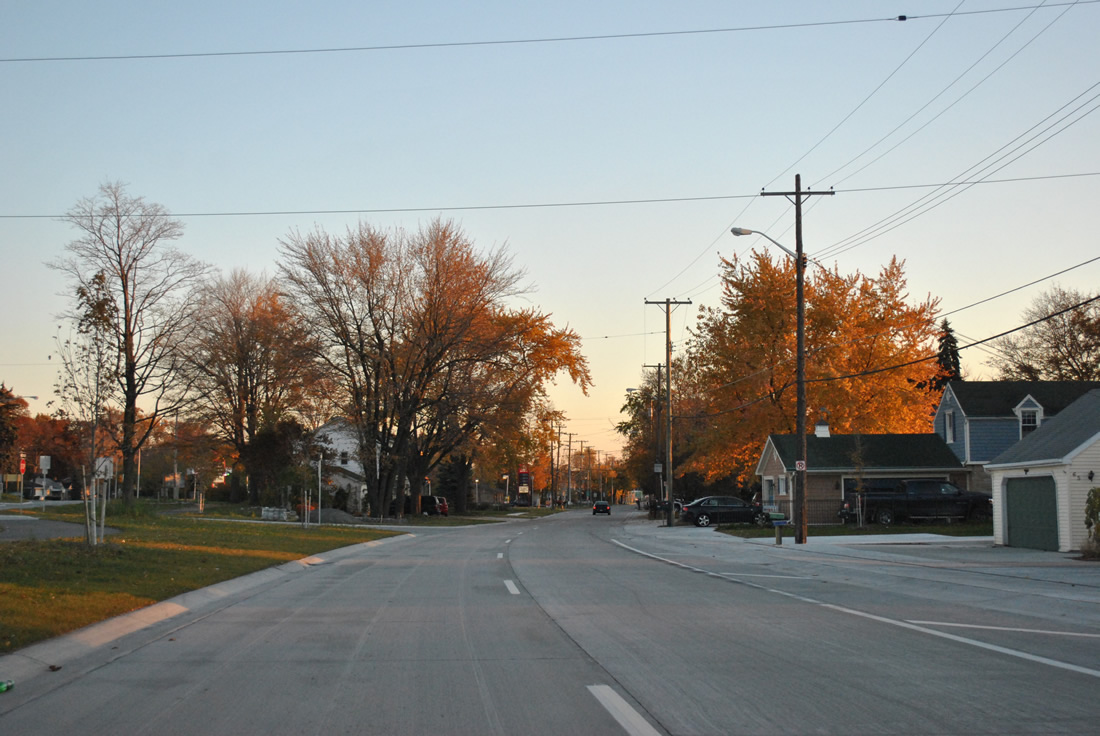
| The roadways of Gratiot Boulevard expand into the one way couplet of Military Street and Electric Avenue at Ravenswood Road. Homes and businesses occupy the space between the two one way streets. 11/06/11 |
|
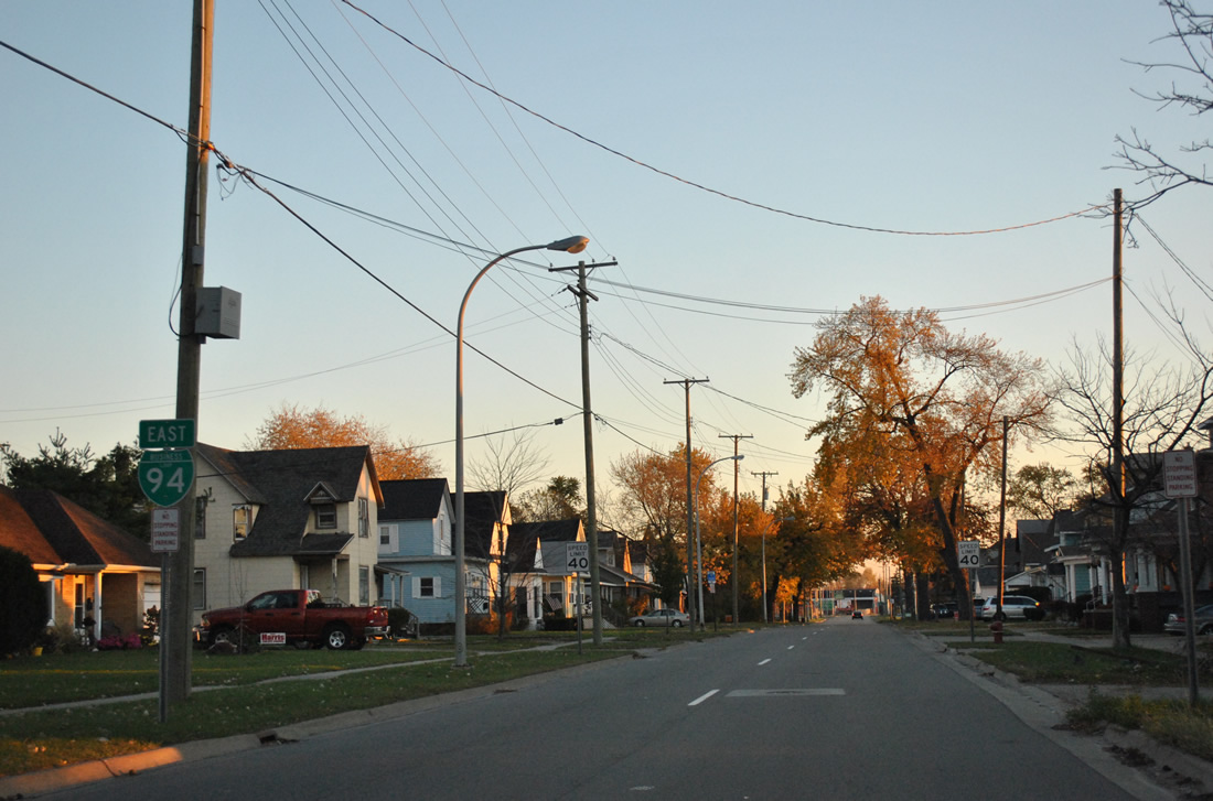
| Military Street carries two lanes of Business Loop I-94 east between Ravenswood Road and Vanderburg Place. 11/06/11 |
|
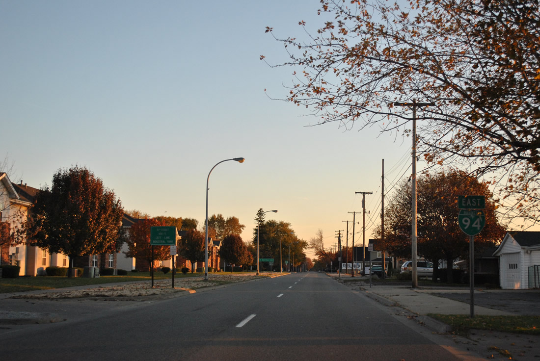
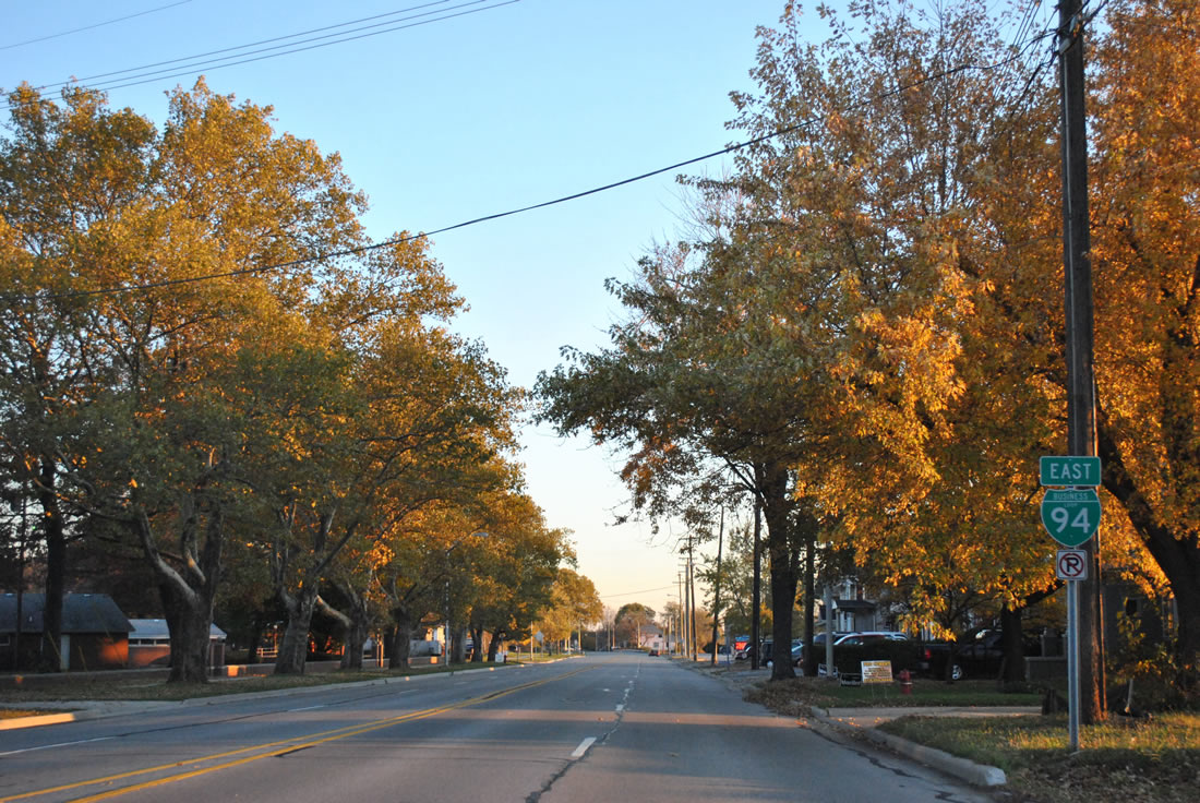
| A set of shields for Business Loop I-94 reside beyond Conner Street. Conner Street connects Military Street with 24th Street, an arterial street north from South Park to Memorial Park and Lapeer Avenue. 11/06/11 |
|
| Glimpses of the St. Clair River and the refineries of Sarnia, Ontario are viewed occasionally along Military Street north to Business Loop I-69. 11/06/11 |
|
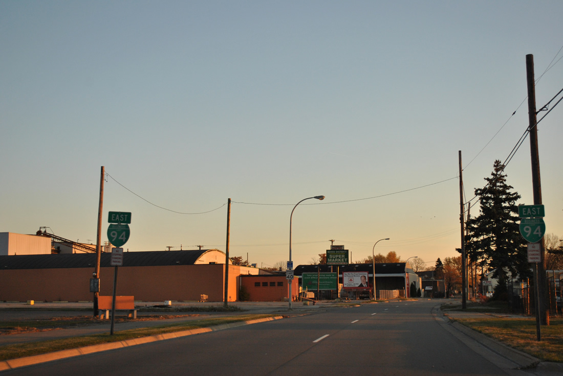
| Approaching 16th Street north on Business Loop I-94 (Military Street) east. 16th Street lines the east side of a large industrial park to the residential street grid of Port Huron beyond the Canadian National Railroad line. 11/06/11 |
|
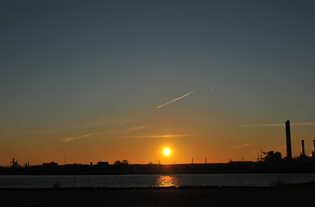
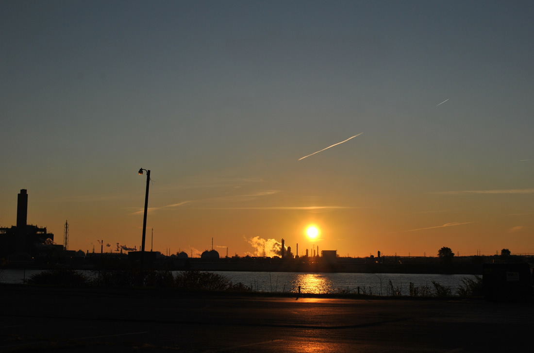
| A parking area provides a somewhat unobstructed view of the sunrise over Sarnia, Ontario from Business Loop I-94 east at 16th Street. 11/06/11 |
|
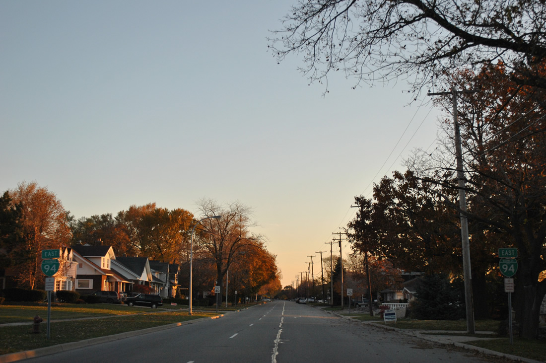
| Another pair of Business Loop I-94 shields are posted along Military Street north after the intersection with Reid Avenue west. 11/06/11 |
|
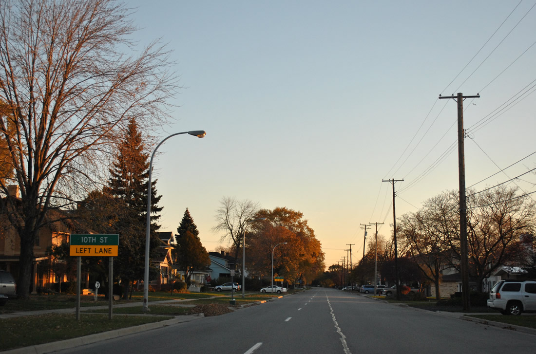
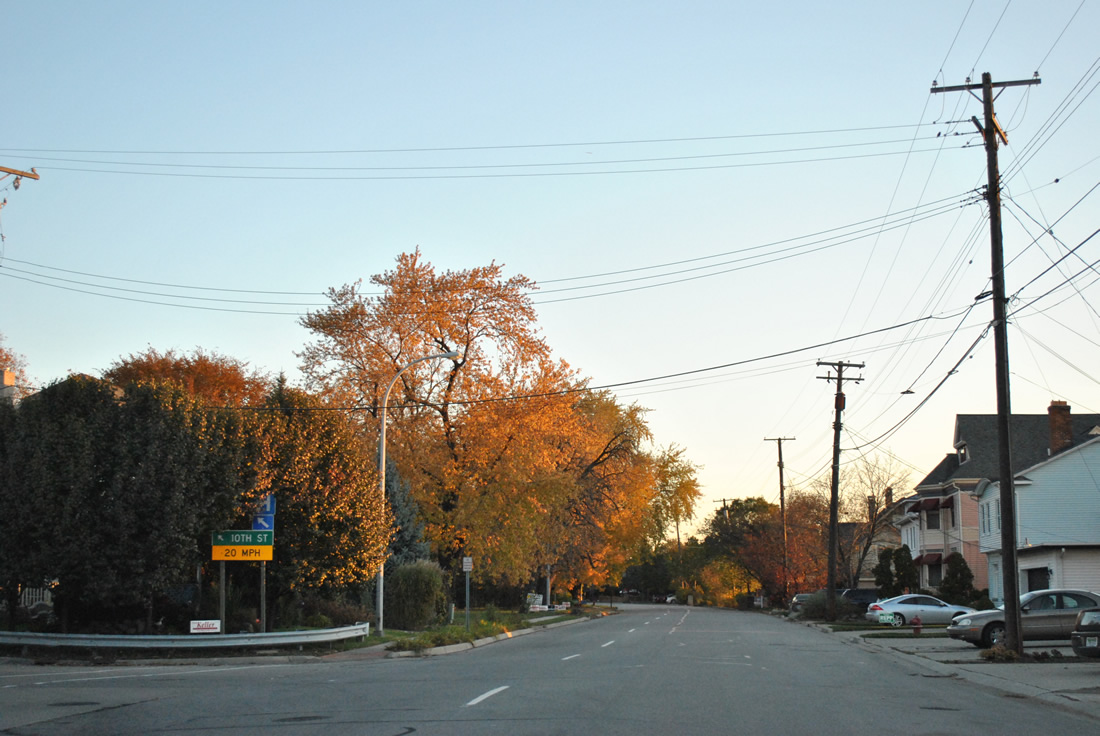
| A small guide sign precedes the left turn onto 10th Street. 10th Street connects Business Loop I-94 with St. Joseph Mercy Hospital nearby. 11/06/11 |
|
| 10th Street ventures north from Business Loop I-94 through residential areas west of Downtown to cross the Black River by Haines Park. 11/06/11 |
|
| Military Street continues north from the split with Electric Avenue as a four lane roadway. 11/06/11 |
|
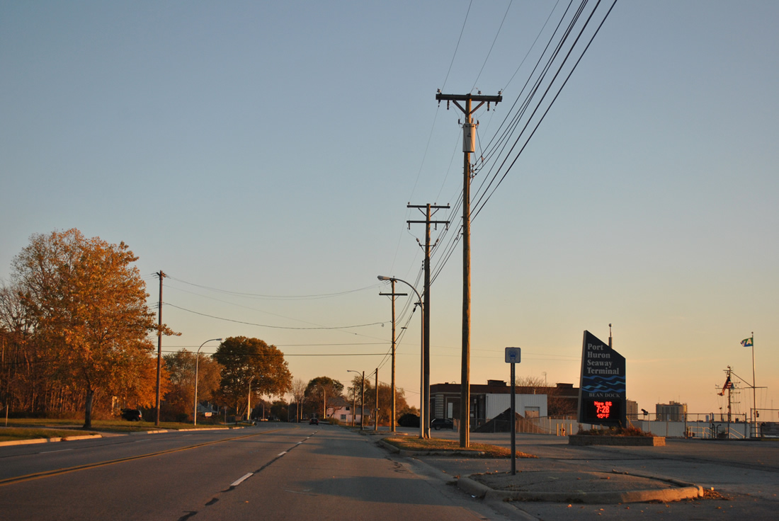
| Business Loop I-94 (Military Street) east at the Bean Dock of Port Huron Seaway Terminal opposite Beard Street. 11/06/11 |
|
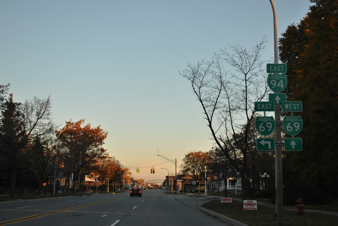
| Bending more northward, Business Loop I-94 veers away from the St. Clair Riverfront to meet Business Loop I-69. 11/06/11 |
|
| Business Loop I-69 partitions between a one way couplet along Oak Street east and Griswold Street west between the expressway connector to I-69 & 94 and Military Street. 11/06/11 |
|
| Oak Street flows east across Business Loop I-94 to Desmond Landing on the St. Clair River. Business Loop I-69 eastbound traffic turns northward along Military Street for the start of a 2.5 mile overlap with Business Loop I-94 to the Blue Water Bridge. 11/06/11 |
|
| Griswold Street carries Business Loop I-69 west for the expressway connector ahead of 32nd Street to both Interstates 69 west and 94 west. 11/06/11 |
|
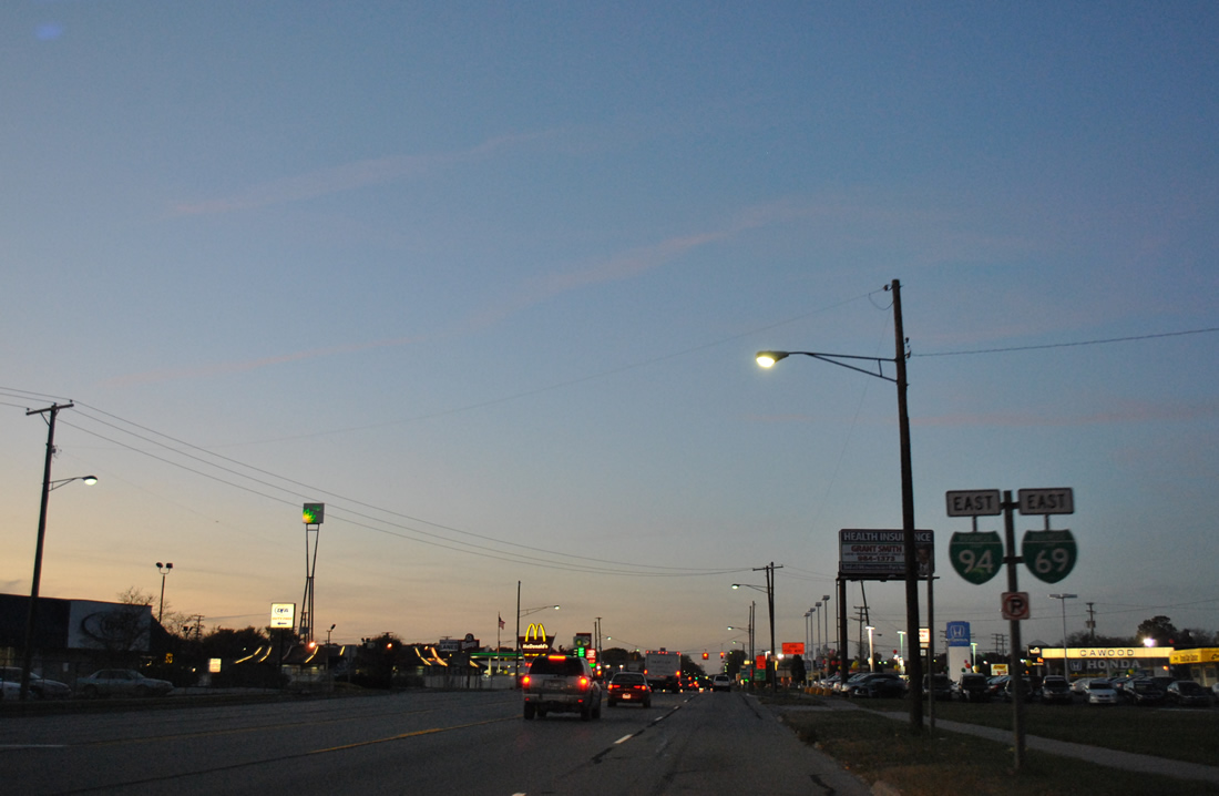
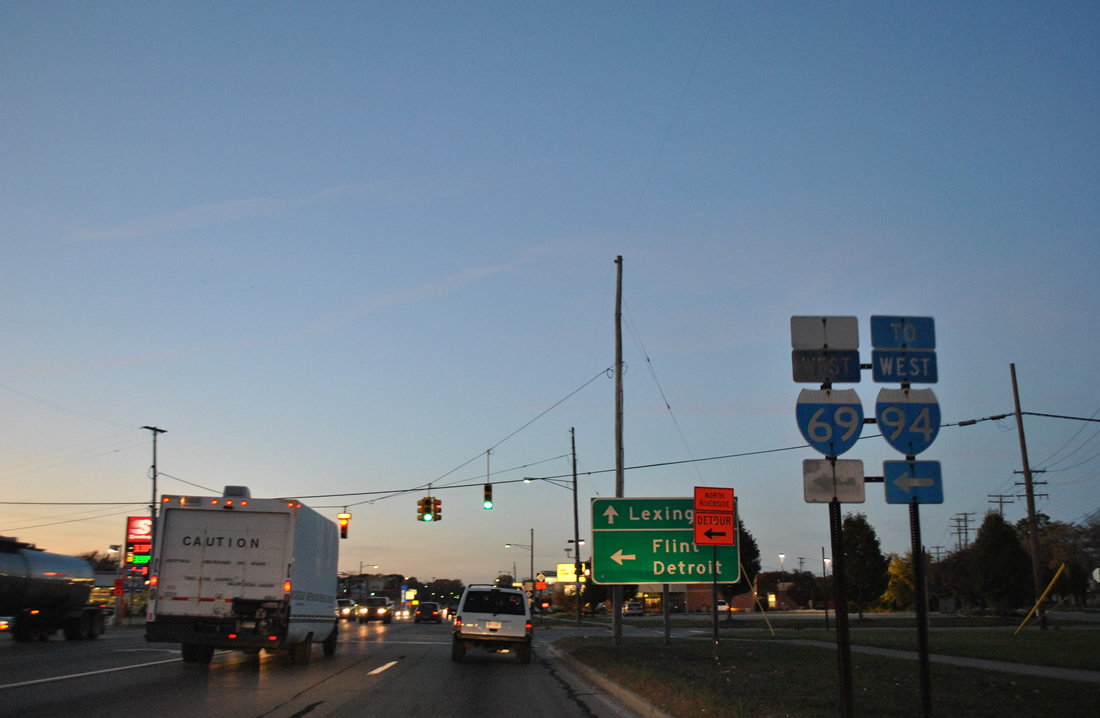
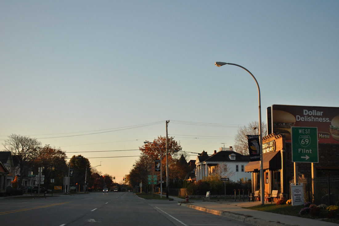
| Business Loop I-69 west concludes in 3.2 miles at the west split interchange between I-69 to Flint and I-94 to Detroit. 11/06/11 |
|
| A small sign directs motorists along Business Loop I-69/94 (Military Street) northward two miles for the Blue Water Bridge east into Canada. 11/06/11 |
|
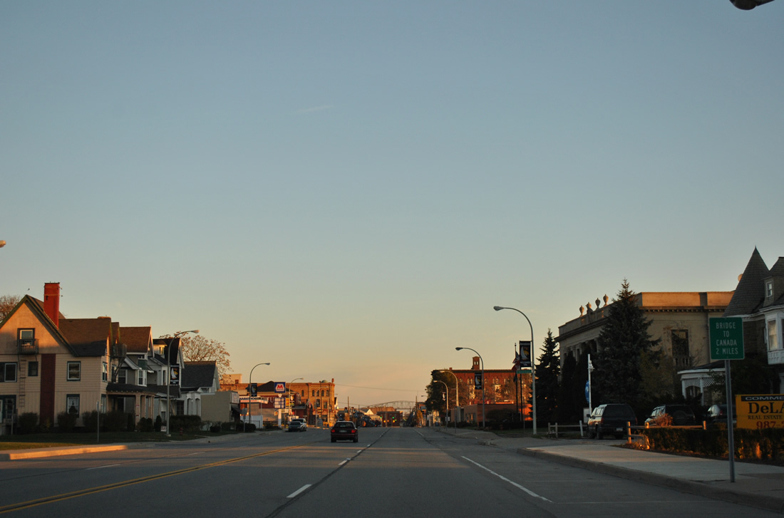
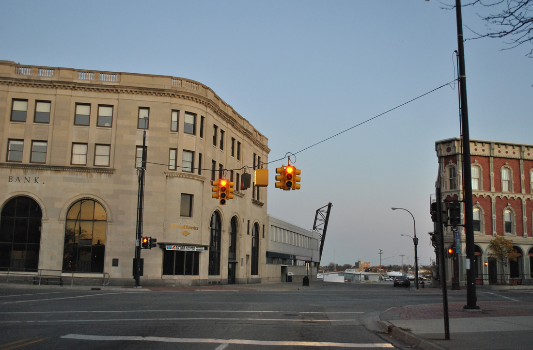
| Military Street north at Court Street on the southern outskirts of Downtown Port Huron. Court Street leads east to Vantage Point on the St. Clair River. 11/06/11 |
|
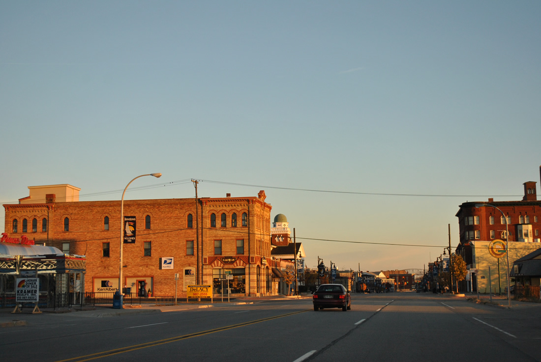
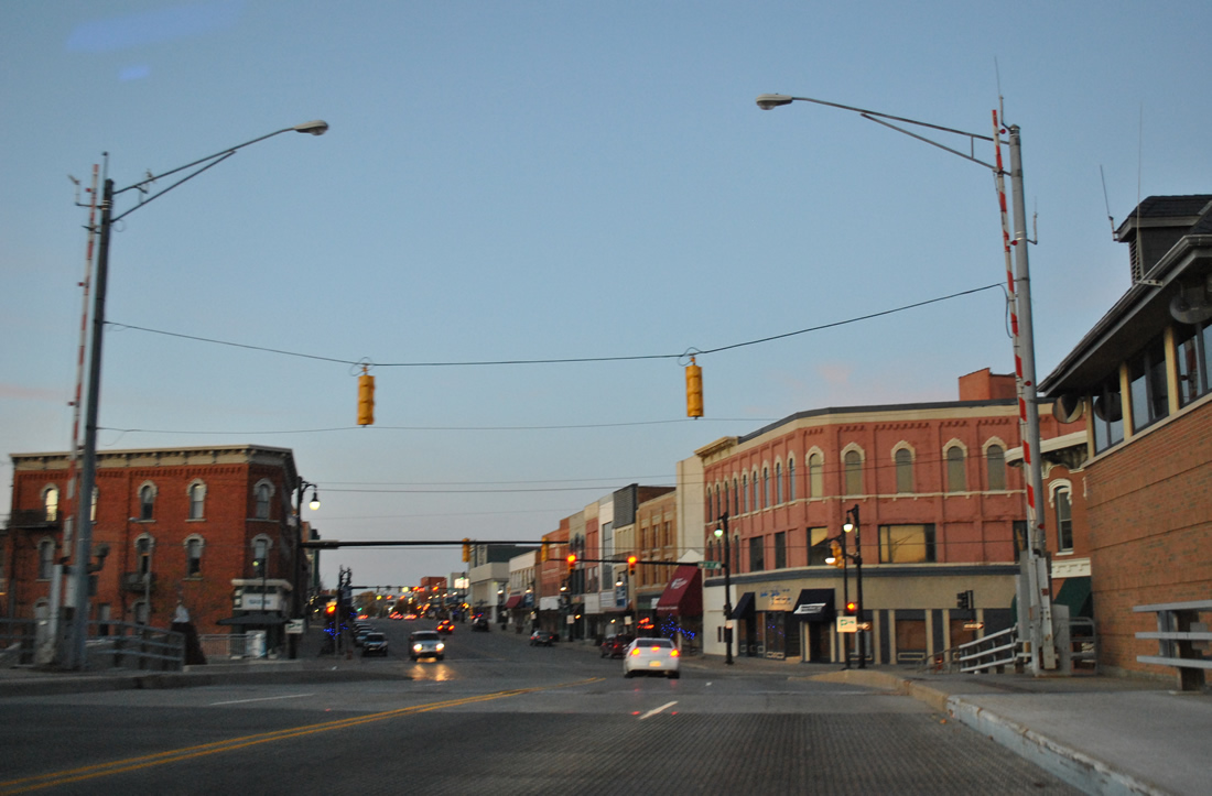
| Two blocks further north in the Port Huron business district at Pine Street. 11/06/11 |
|
| Military Street kinks eastward from Water Street to span the Black River. 11/06/11 |
|
| The Military Street Bridge, a double leaf bascule bridge, was constructed in 1990-91 to replace a 1913 span at the same location.3 11/05/11 |
|
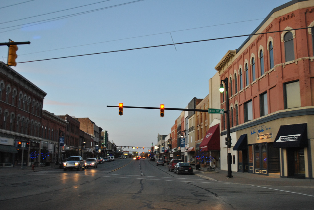
| Quay Street intersects Business Loop I-69/94 east immediately north of the Black River. 11/05/11 |
|
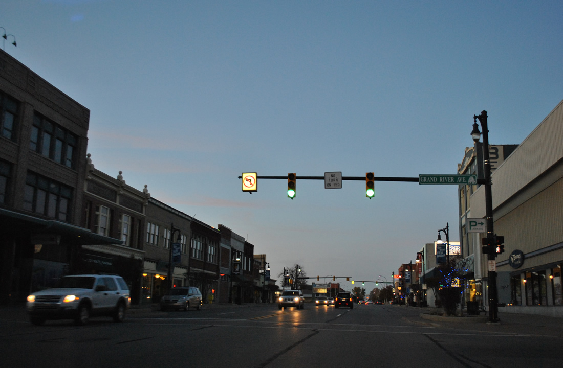
| Military Street becomes Huron Avenue north of Quay Avenue. Business Loop I-69/94 east next meet Grand River Avenue. 11/05/11 |
|
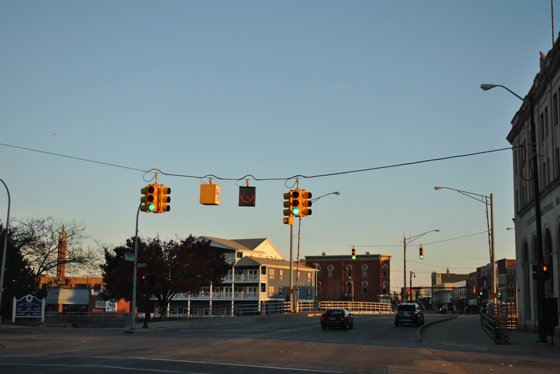
| McMorran Boulevard links Business Loop I-69/94 east with Keifer Park along the St. Clair River and St. Clair Community College to the west. 11/05/11 |
|
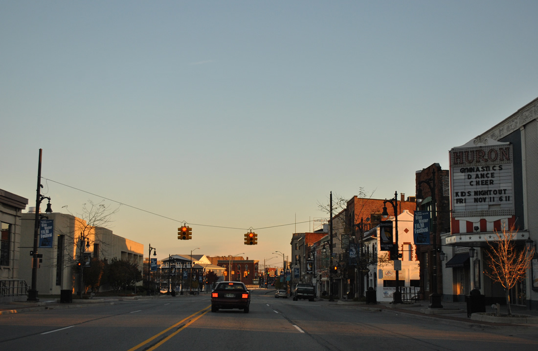
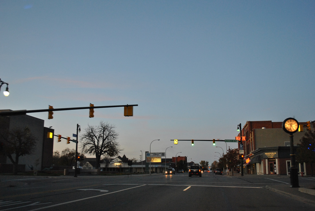
| Business Loop I-69/94 follow Huron Avenue five blocks to the five-way intersection with Glenwood and Pine Grove Avenues. 11/05/11 |
|
| Heading northwest, Pine Grove Avenue passes by Port Huron Hospital to the west and Pine Grove Park to the east between Kearney Street and Prospect Place. 11/05/11 |
|
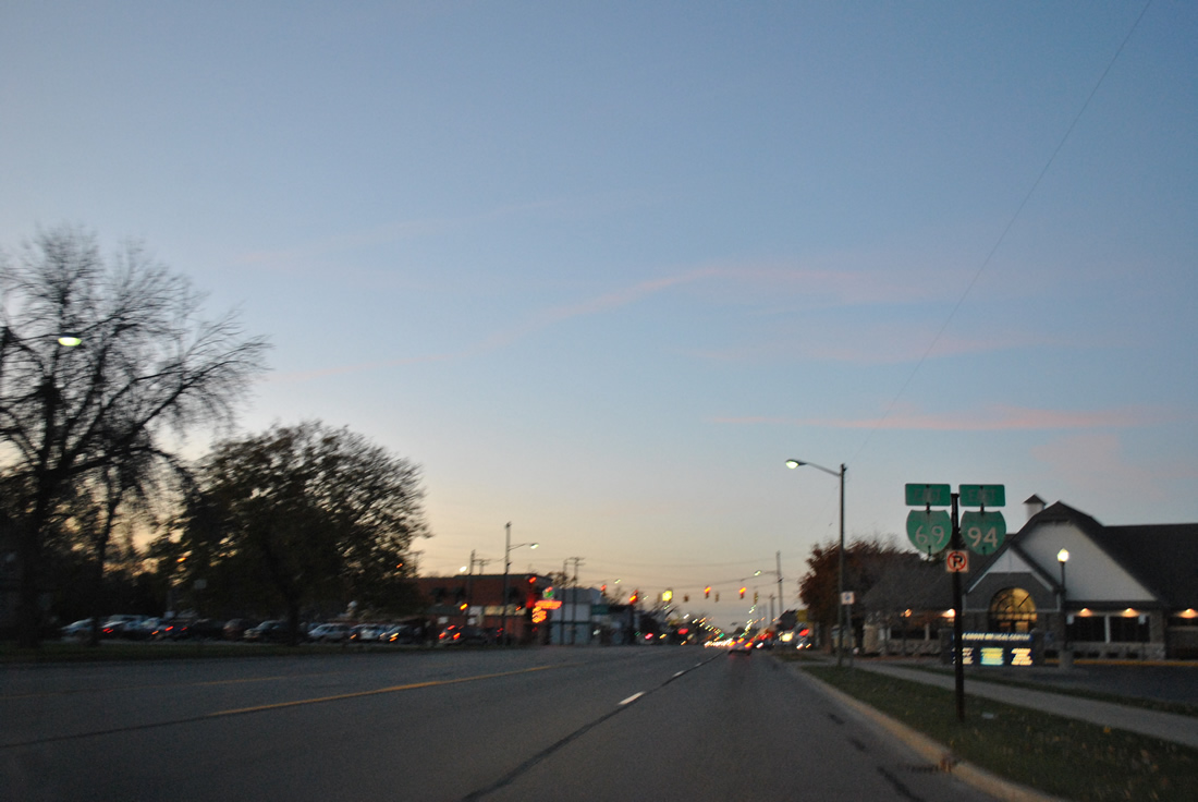
| Another set of shields for Business Loop I-69/94 east are posted at Pine Grove Avenue north at Sedgwick Street. 11/05/11 |
|
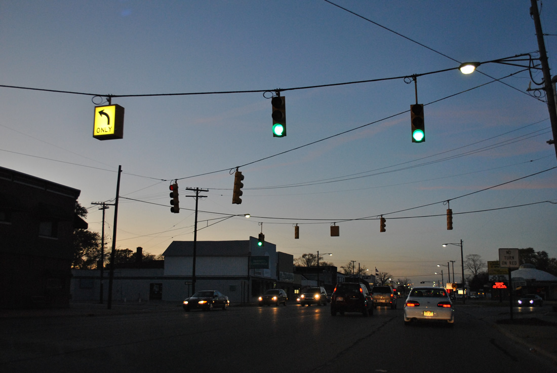
| A five-way intersection with Thomas Street west and north-south Stone Street follows. 11/05/11 |
|
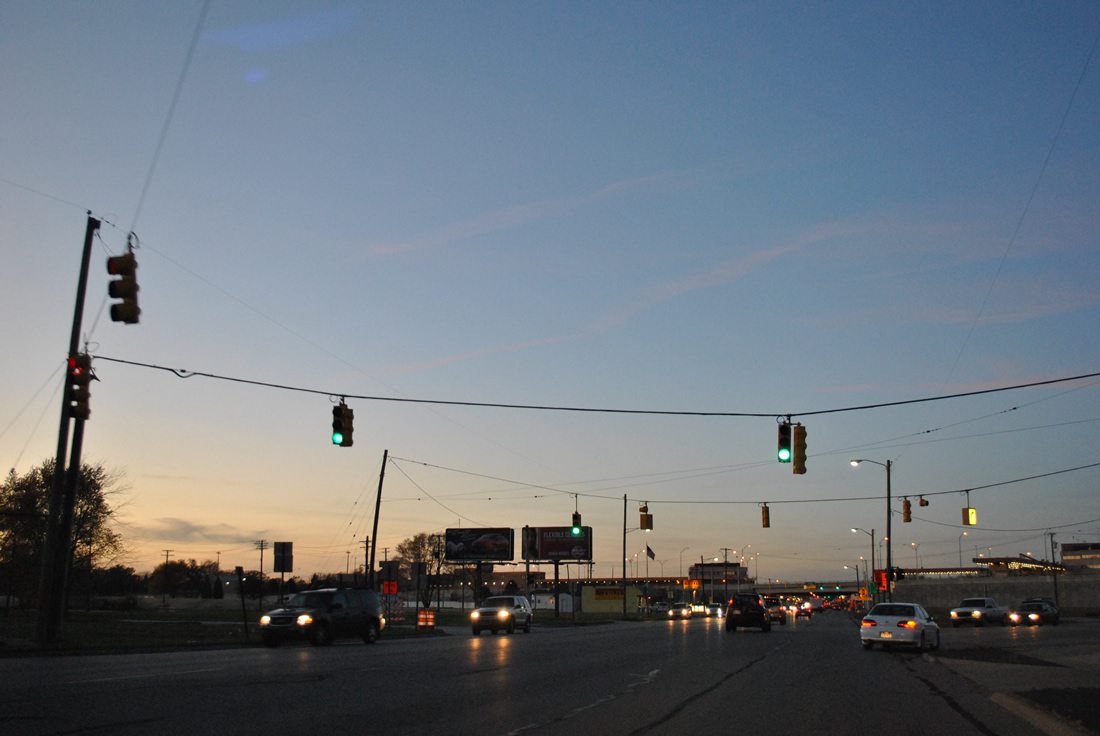
| 10th Avenue crosses paths with Business Loop I-69/94 (Pine Grove Avenue) at Scott Avenue. A number of business and homes were demolished from this intersection northward to I-69/94 as part of the 2011-12 expansion project for the freeway leading east to the Blue Water Bridge. 11/05/11 |
|
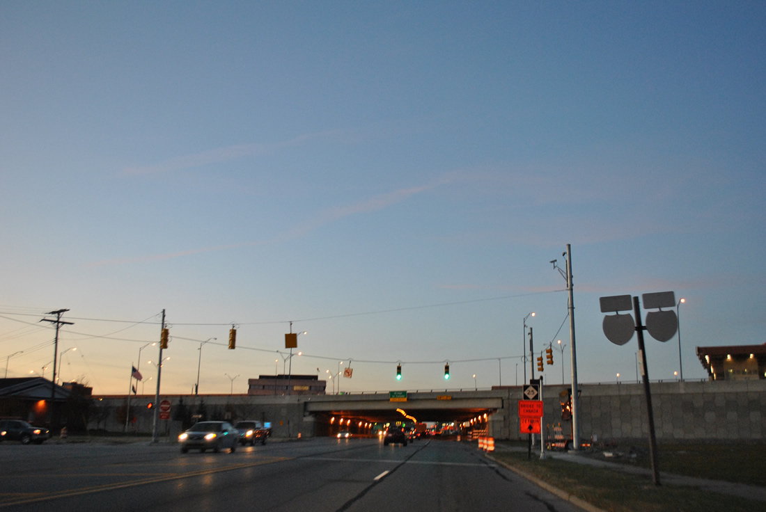
| A set of weathered reassurance markers for Business Loop I-69/94 east precede the new eastbound off-ramp from I-69/94 to Pine Grove Avenue (former M-25). 11/05/11 |
|
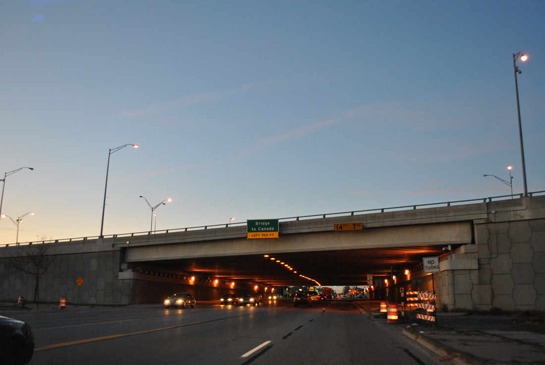
| Pine Grove Avenue passes under the customs facilities for the Blue Water Bridge ahead of Elmwood Street and the eastbound on-ramp to Sarnia, Ontario. 11/05/11 |
|
| A loop ramp circles eastward to join I-69/94 east ahead of the Blue Water Bridge toll plaza. The tandem transition into Highway 402, a freeway east to Highway 401 at London, Ontario. 11/05/11 |
|
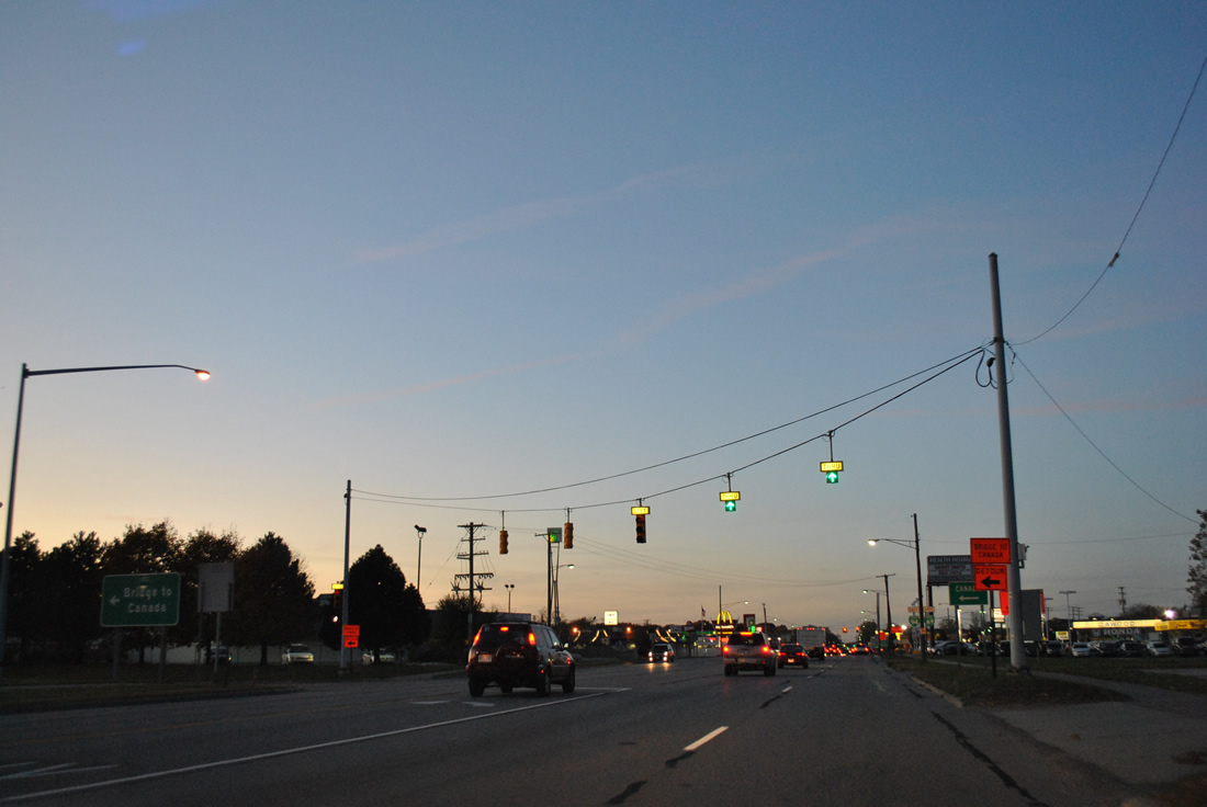
| Although already beyond the return point for I-69/94 east, Business Loop I-69/94 east continue a short distance to Hancock Street west. 11/05/11 |
|
| Hancock Street carries Business Loop I-69/94 west to the freeway connector leading south to I-69/94 west. 11/05/11 |
|
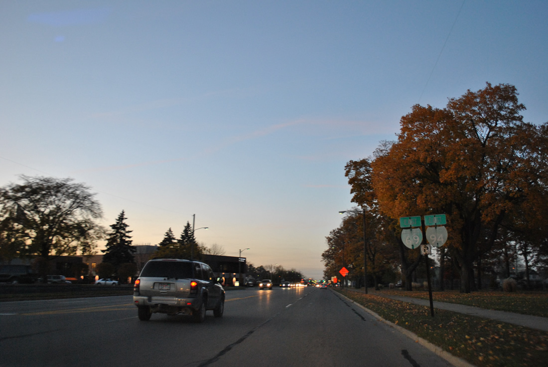
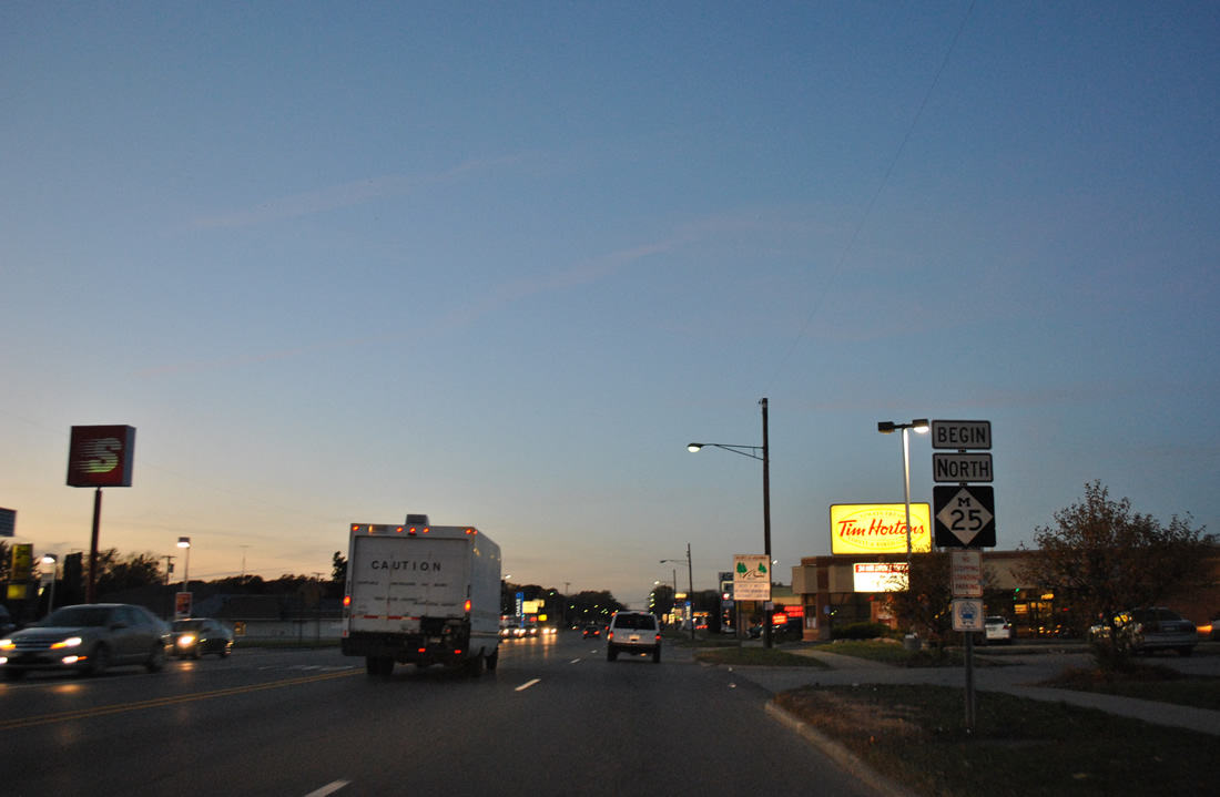
| M-25 takes over for Business Loop I-69/94 along Pine Grove Avenue north toward Lexington along the Lake Huron shoreline. 11/05/11 |
|
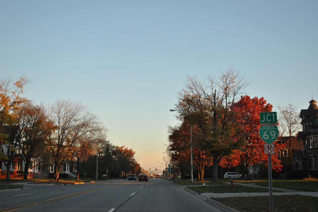
| Nearing the south split of Business Loop I-69/94 (Military Street) west at Griswold Street. Business Loop I-69 turns west 3.2 miles to I-69/94. 11/06/11 |
|
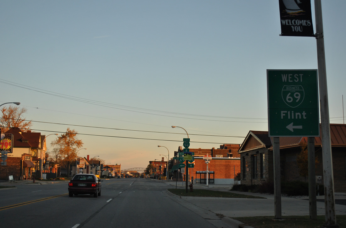
| Business Loop I-69 west provides direct access to Interstate 69 west from Port Huron to Flint and Lansing in addition to access for I-94 southwest to Detroit. 11/06/11 |
|
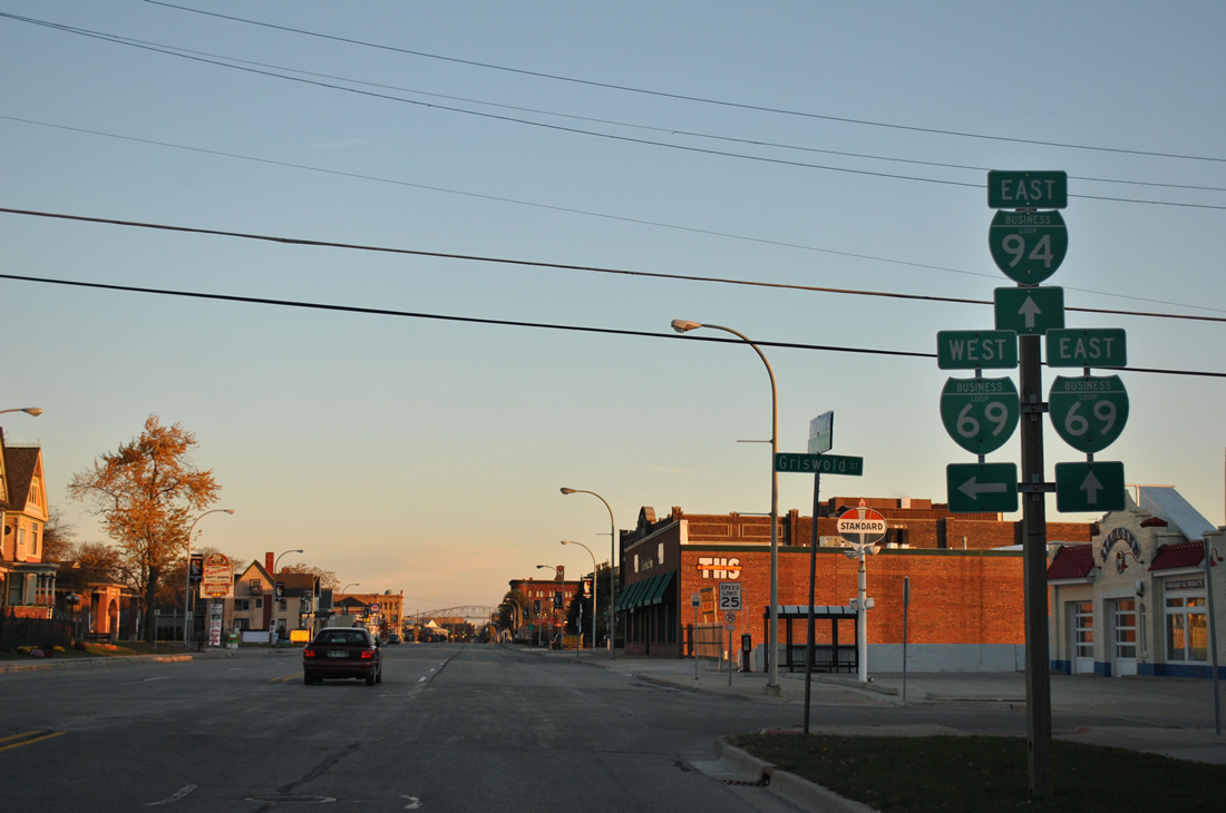
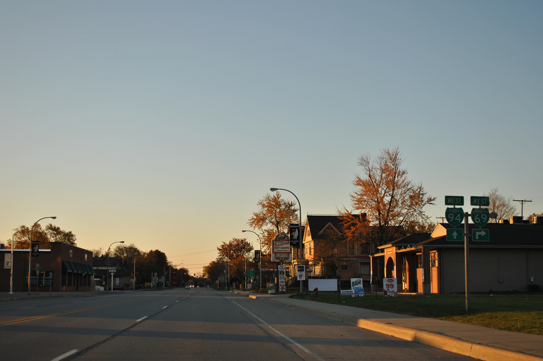
| The 2.8 mile overlap between Business Loop 69/94 west from Pine Grove Avenue near Garfield Street concludes at Griswold Street. Griswold Street carries Business Loop I-69 west, one block north of eastbound along Oak Street. 11/06/11 |
|
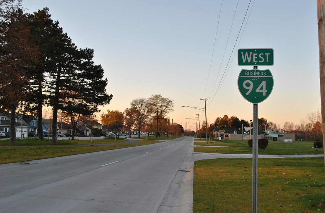
| Electric Avenue west combines with Military Street to form a four lane boulevard (Gratiot Boulevard). A reassurance marker for Business Loop I-94 west follows the intersection with Ravenswood Road. 11/06/11 |
|
| Lapeer Avenue heads east from the Lapeer Connector, a north-south expressway linking I-69/94 with western reaches of Downtown. Pictured here is Lapeer Avenue east at 10th Street, five blocks west of Business Loop I-69/94 (Military Street). 11/05/11 |
|
| Lapeer Avenue becomes Water Street alongside the Black River to a traffic light with Business Loop I-69/94 (Military Street) in the Port Huron business district. 11/05/11 |
|
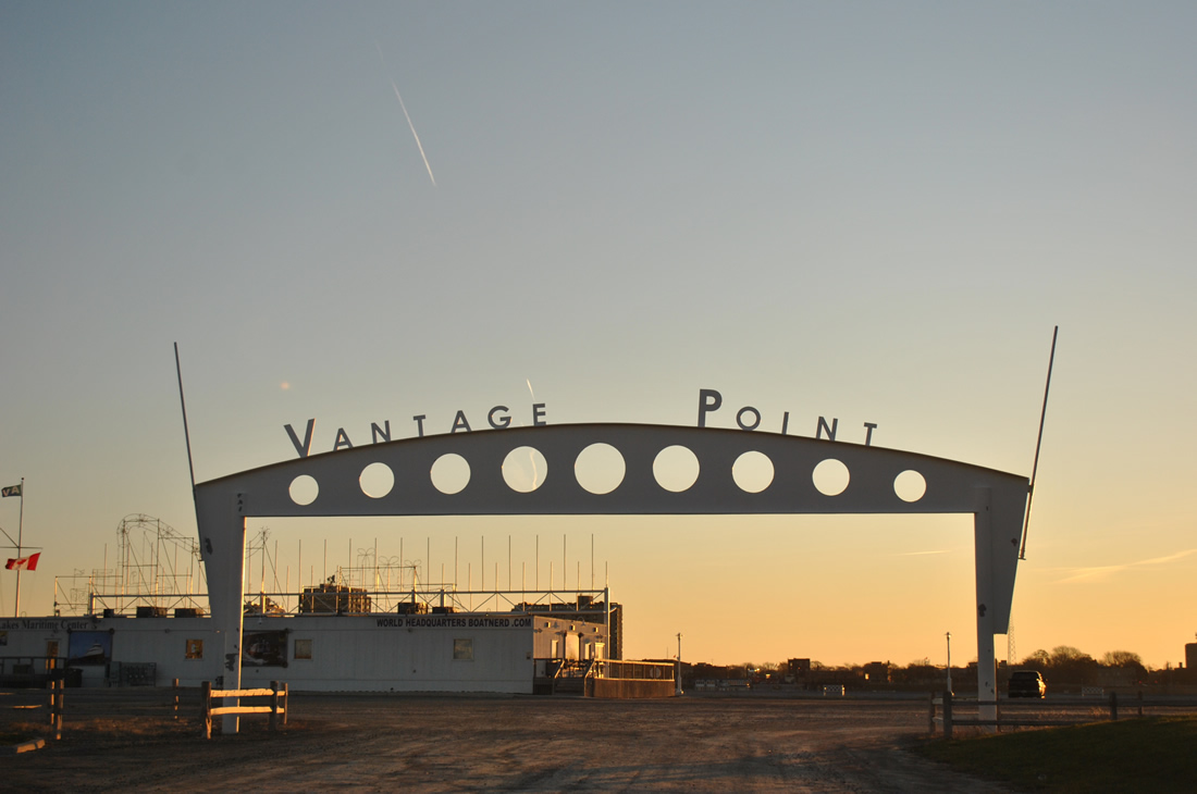
| Court Street ends three blocks east of Business Loop I-69/94 at Vantage Point on the St. Clair River. 11/06/11 |
Photo Credits:11/05/11, 11/06/11 by AARoads
Connect with:
Interstate 94
Business Loop I-69 - Port Huron
Page Updated 10-23-2013.

 East
East