|
| Iowa 1/78 (Fountain Street) follow Fountain Street west for seven blocks to leave the city of Brighton at Ginkgo Avenue. 04/12/13 |
|
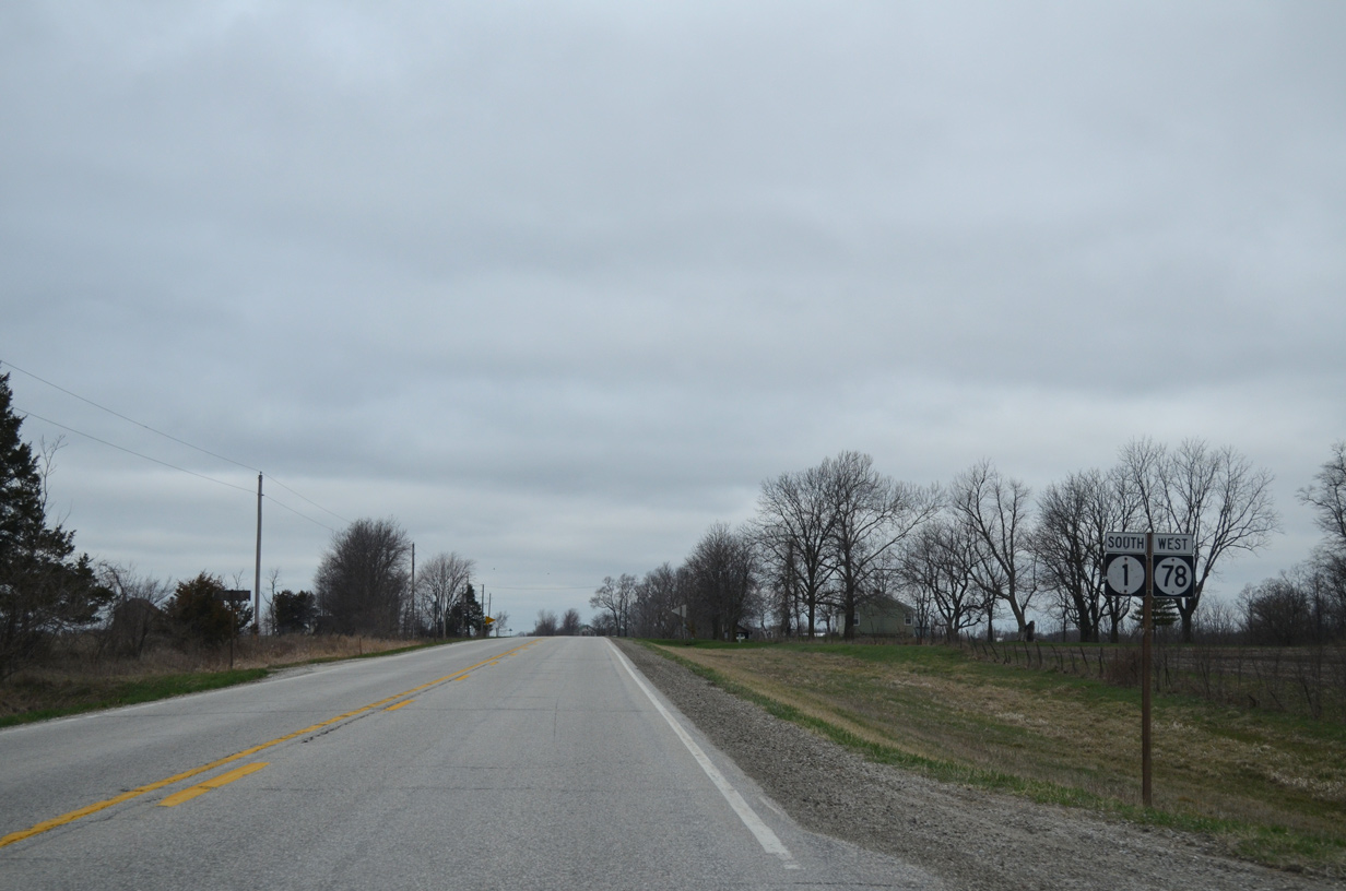
| Continuing west from Ginkgo Avenue, Iowa 1 travels west and south 19 miles to Fairfield while Iowa 78 bee lines west nine miles to Richland. 04/12/13 |
|
| One mile further, Iowa 1/78 south intersect County Road W21 (Fir Avenue) south. CR W21 makes an implied overlap with the state highway pair west one mile to Elm Avenue north. 04/12/13 |
|
| County Road W21 travels two miles south to the city of Pleasant Plain in adjacent Jefferson County. 04/12/13 |
|
| Reassurance markers posted after CR W21 south and Fir Avenue. 04/12/13 |
|
| Westbound after Elm Avenue (CR W21 north), Iowa 1/78 advance toward Lake Darling State Park. 04/12/13 |
|
| County Road G67 stems north from Iowa 1/78 along Birch Avenue. The route arcs 5.7 miles west to Keokuk County W15. 04/12/13 |
|
| Birch Avenue carries CR G67 four miles north to 1st Street west through the settlement of Rubio. 04/12/13 |
|
| Iowa 1 south / Iowa 78 west shield assembly posted after Washington County Route G67 (Birch Avenue). 04/12/13 |
|
| 1.25 miles further west, Iowa 1/78 enter Keokuk County. 04/12/13 |
|
| One mile into Keokuk County is the split of Iowa 1 south from Iowa 78 west. 04/12/13 |
|
| Iowa 1 drops southward 12 miles to the city of Fairfield while Iowa 78 reaches the south side of Richland in one mile. 04/12/13 |
|
| Iowa 1 concludes in 37 miles at Iowa 2 south of Keosauqua while Iowa 78 continues another 13 miles west. 04/12/13 |
|
| A number of agribusinesses appear along the western horizon as Iowa 78 approaches Richland from Iowa 1. 04/12/13 |
|
| Iowa 78 enters the Richland city limits at the intersection with 320nd Avenue. 320nd Avenue north curves west to become Main Street. 04/12/13 |
|
| Advancing a half mile, Iowa 78 intersects the south end of Keokuk County Route W15 (Oak Street). The county roads leads north from the city center to Talleyrand, Keota and Iowa 22 near Kinross. 04/12/13 |
|
| This distance sign alludes to the former status of County Road W15 as Iowa 77. Iowa 77 was decommissioned in 2003. It previously ran north from Iowa 78 to the city of Keota. 04/12/13 |
|
| Iowa 78 leaves the Richland city limits a half mile west of Oak Street. 04/12/13 |
|
| West of 290th Avenue, Iowa 78 rises to pass over the Dakota, Minnesota & Eastern Railroad, Corporation line. 04/12/13 |
|
| 270th Avenue south from the city of Ollie becomes County Road V63 at Iowa 78 en route to the city of Packwood. 04/12/13 |
|
| Westbound Iowa 78 after CR V63 and 270th Avenue. 04/12/13 |
|
| 265th Avenue doubles as Keokuk County V5G north. CR V5G replaced Iowa 304 between Iowa 78 and the city of Ollie in 1980. 04/12/13 |
|
| The Ollie city center lies two miles north of Iowa 78 via CR V5G along Oak Street. CR V5G joins the city with Lancaster to the northwest. 04/12/13 |
|
| Iowa 78 remains rural to the south of Ollie through Jackson township. 04/12/13 |
|
| Westbound Iowa 78 after 245th Avenue north. 04/12/13 |
|
| Approaching County Road V51 (230th Avenue) south on Iowa 78 west. 04/12/13 |
|
| County Road V51 travels just two miles south to 110th Street in Jefferson County. The settlement of Pekin lies midway along the route. 04/12/13 |
|
| Three miles of Iowa 78 west remain beyond Keokuk County V51. 04/12/13 |
|
| Iowa 78 enters Steady Run township west of 220th Avenue and this shield assembly. 04/12/13 |
|
| Travelers along Iowa 78 near the western turn of Iowa 149 south to Martinsburg. 04/12/13 |
|
| An end shield precedes the intersection with Iowa 149 along Iowa 78 west. 04/12/13 |
|
| Iowa 149 runs 11 miles north to the Keokuk County seat of Sigourney. The state highway runs west from the end of Iowa 78 five miles to Hedrick and ten miles to Iowa 23 at the Mahaska County line. 04/12/13 |
|
| Motorists continuing west onto Iowa 149 south to the city of Martinsburg do not have to stop at Iowa 149 north. Iowa 149 constitutes a 67 mile route from U.S. 34 in Ottumwa to Interstate 80 at Williamsburg. 04/12/13 |
Page Updated 08-07-2015.