Illinois Route 242 constitutes a 19 mile long highwya joining the Hamilton County seat of McLeansboro with Wayne City in southwest Wayne County. The rural route connects with Interstate 64 at an interchange by Mayberry.
|
| 11.2 miles after it starts in McLeansboro, IL 242 crosses the Wayne County line near the village of Belle Prairie City. 05/27/11 |
|
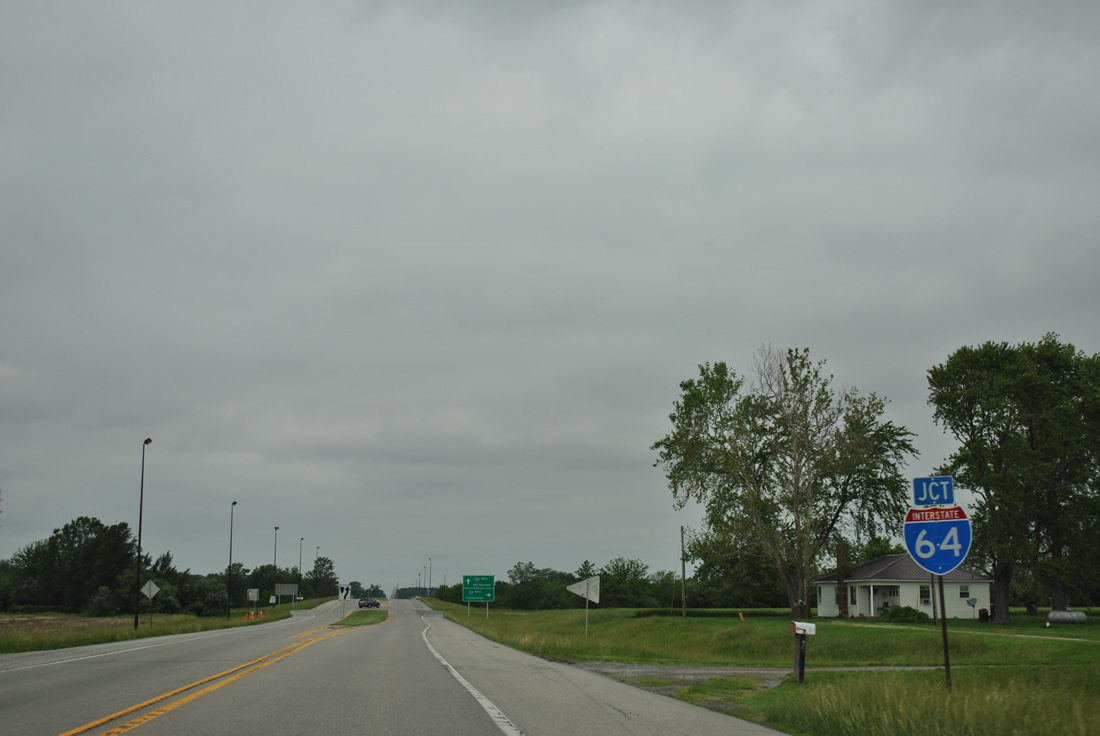
| Indiana 242 bends northwest from County Road 900 East and meets Interstate 64 at a rural diamond interchange (Exit 100). 05/27/11 |
|
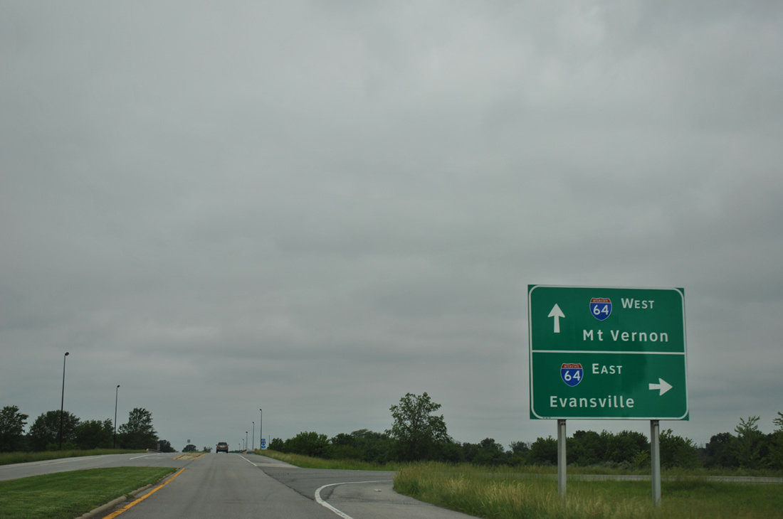
| Interstate 64 ventures east 30 miles from Indiana 242 to span the Wabash River. Evansville is 65 mile drive away. 05/27/11 |
|
| Spanning Interstate 64 along Indiana 242 north. The freeway was completed by 1972 along this stretch. 05/27/11 |
|
| Interstate 64 continues west 20 miles to merge with Interstate 57 north outside Mt. Vernon. Wayne City is another seven miles northwest along Indiana 242. 05/27/11 |
|
| IL 242 separates to accommodate a grassy median at the diamond interchange with Interstate 64. Pictured here is the I-64 under crossing and approach to the eastbound on-ramp. 05/27/11 |
|
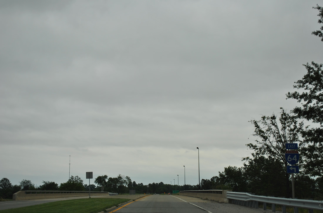
| A Clearview-based guide sign directs motorists onto Interstate 64 east toward Evansville from Indiana 242 south. Only three exits of I-64 east remain before the highway spans the Wabash River into Indiana. 05/27/11 |
|
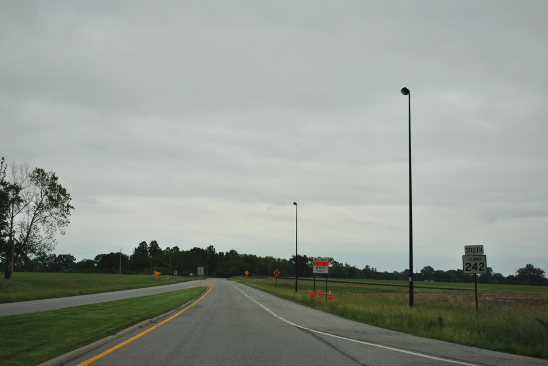
| Indiana 242 curves southward and overtakes County Road 900 East on the 12 mile trip to McLeansboro. Traffic counts are quite low with only 1,400 vpd recorded in 2011. 05/27/11 |
|
| A half mile further south, Indiana 242 crosses into Hamilton County. 05/27/11 |
Page Updated 03-27-2012.