
Kansas Highway 177 travels 102.87 miles north from U.S. 54, east of El Dorado across the Flint Hills region to U.S. 24 in Manhattan. Within Butler County, K-177 heads 22.35 miles north from eastern reaches of El Dorado Lake to the small city of Cassoday and the Kansas Turnpike (I-35) at Exit 92. The 33.08 mile long section of K-177 through Chase County parallels the South Fork of the Cottonwood River north from the city of Matfield Green to Bazaar en route to the county seat of Cottonwood Falls.
K-57 formerly overlapped with K-177 north from U.S. 50 outside Strong City on the stretch to Tallgrass Prairie National Preserve and U.S. 56 at Council Grove. Within the city of County Grove, K-177 dog legs east alongside U.S. 56 for 0.16 miles between Neosho Street and Union Street. K-177 continues north from the Morris County seat by Council Grove Lake to a 1.00 mile long overlap with K-4 on the Wabaunsee County line.
K-4 west leads west from K-177 to Dwight, where K-57 north begins. The city of Alta Vista lies just east of K-177 off K-4. K-177 shifts one mile west into Geary County along a rural course north to I-70/U.S. 40 at Exit 313. The remaining 8.62 miles of K-177 beyond I-70 constitute a four lane highway or arterial to K-18 at Fairmont and U.S. 24 in the city of Manhattan.

K-177 meets U.S. 50 at a grade separated intersection outside Strong City ahead of this shield assembly.
10/05/21

10/05/21
10/05/21

Running just west of Fox Creek, K-177 advances north through the Tallgrass Prairie National Preserve.
10/05/21

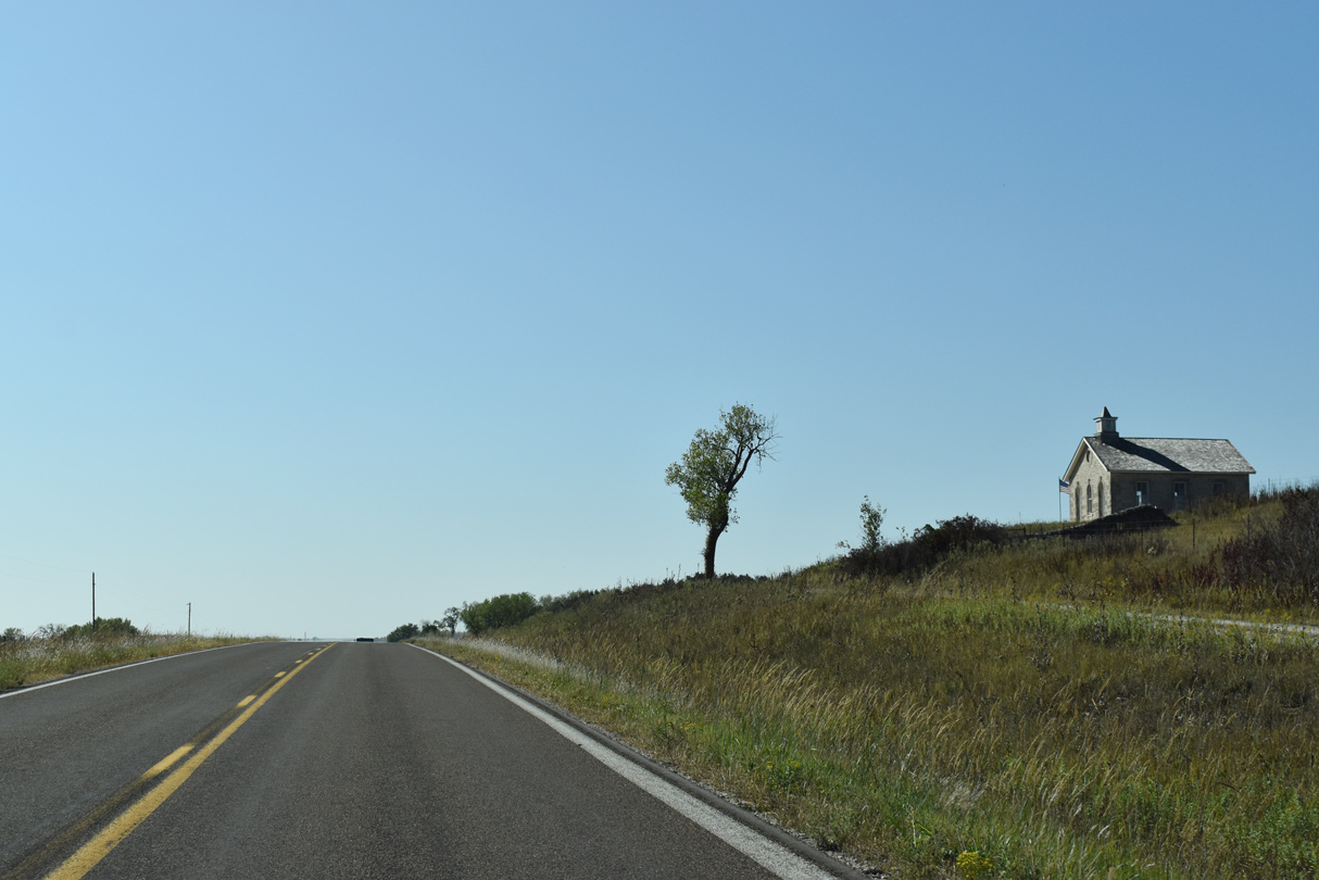
The Tallgrass Prairie National Preserve visitors center is located along K-177 near mile marker 51.
10/05/21

10/05/21
K-177 shifts east through an S-curve across Fox Creek.
10/05/21

10/05/21

Mile marker 53
10/05/21

10/05/21

Gaining elevation, K-177 turns northeast away from Tallgrass Prairie National Preserve toward the Morris County line.
10/05/21

10/05/21

K-177 enters Morris County at 1,451 feet above sea level.
10/05/21

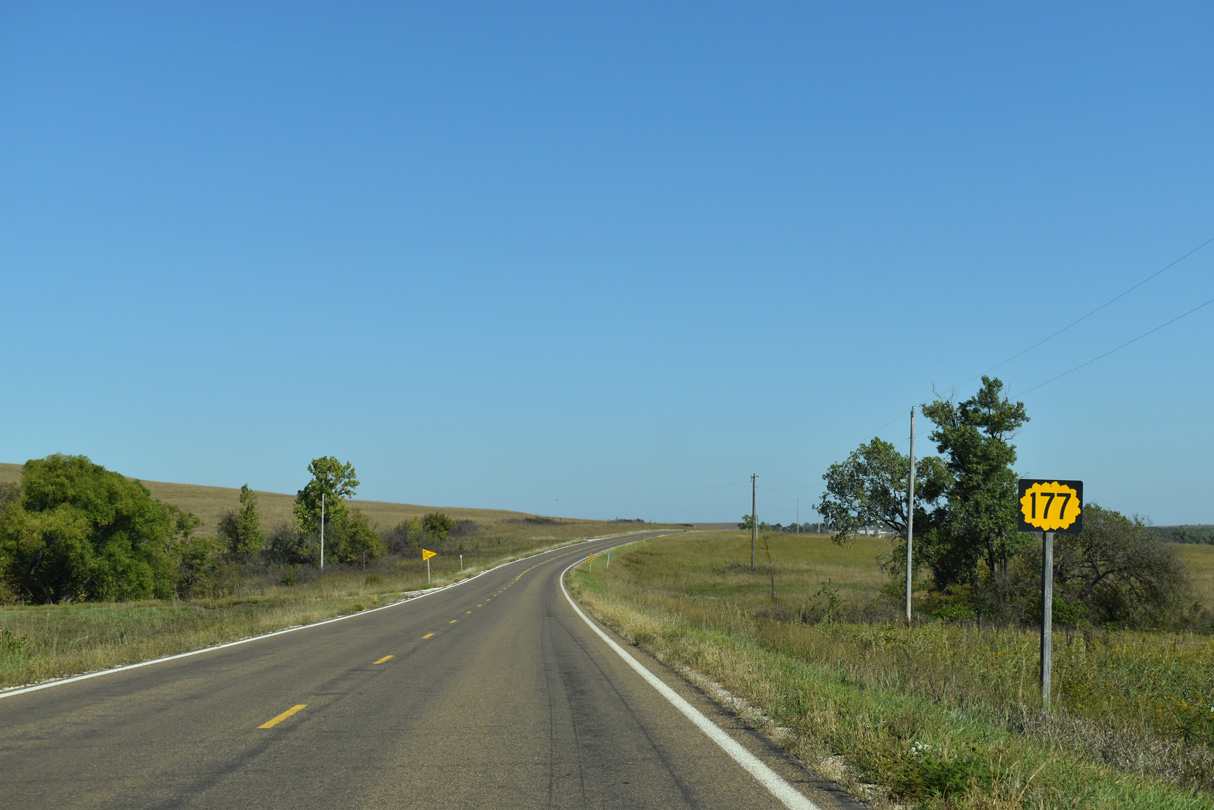
K-177 continues another 9.32 miles north through remote areas of the Flint Hills to the Council Grove city line.
10/05/21

K-177 overtakes Fort Riley Boulevard north from K-18 at Pierre Street to U.S. 24 by Manhattan Town Center mall.
10/06/21

U.S. 24 converges with the north end of K-177 from the north side of Manhattan and west along Poynitz Avenue.
10/06/21

10/06/21

The first confirming marker for K-177 stands along Fort Riley Boulevard south of U.S. 24 beside Manhattan Town Center mall.
10/06/21

K-177 (Fort Riley Boulevard) parallels a Union Pacific Railroad line and the Kansas River south from U.S. 24 to K-18 at Pierre Street.
10/06/21

A loop ramp brings K-18 westbound onto K-177 (Fort Riley Boulevard) south from the bridge across the Kansas River.
10/06/21

K-177 south combines with K-18 east along the succeeding loop ramp from Fort Riley Boulevard across the Kansas River to Fairmont.
10/06/21

Fort Riley Boulevard continues west as K-18 to a freeway at K-113 (Seth Child Road). K-177 overlaps with K-18 east for 0.58 miles before turning south to I-70 and Council Grove.
10/06/21

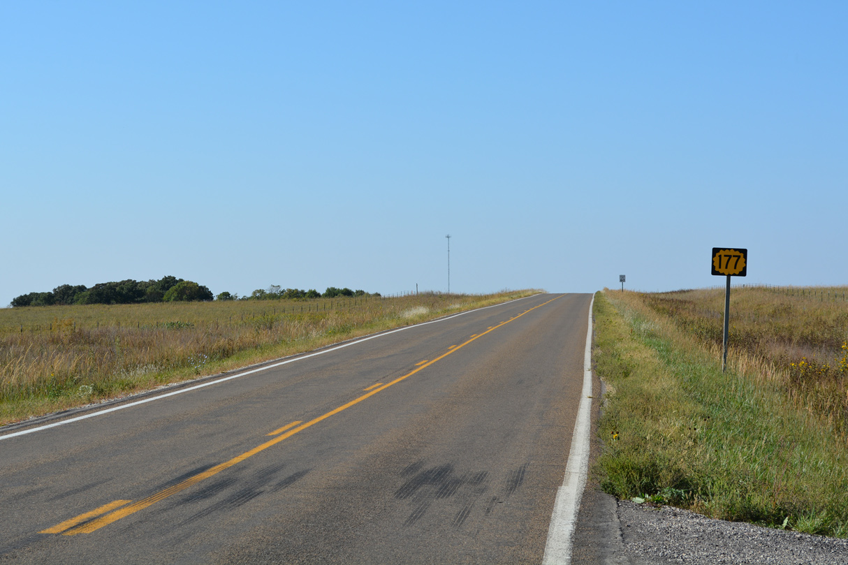
Part of the Flint Hills Scenic Byway, K-177 travels 9.32 miles south from Council Grove to the Chase County line.
10/05/21
10/05/21

10/05/21

10/05/21

10/05/21

K-177 crosses parallel Fox Creek southwest into Tallgrass Prairie National Preserve.
10/05/21

10/05/21
10/05/21

K-177 south at the Tallgrass Prairie National Preserve visitors center.
10/05/21

Mile marker 50
10/05/21

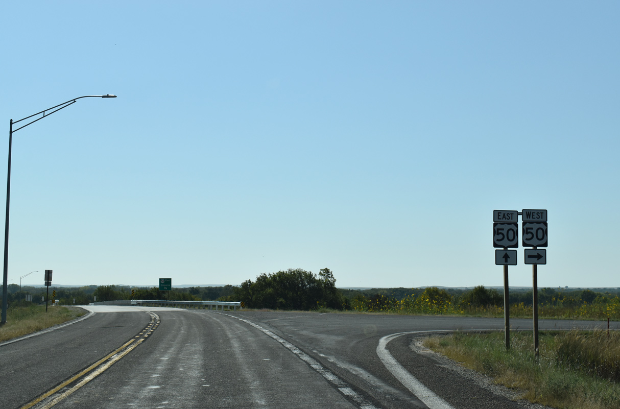
K-177 curves southeast toward Strong City ahead of the grade separated intersection with U.S. 50.
10/05/21

Bypassing Strong City to the north, U.S. 50 runs east from K-177 to Emporia.
10/05/21
Following the Cottonwood River and a BNSF Railroad line, U.S. 50 travels southwest from K-177 to Elmdale, Florence and Peabody.
10/05/21
Connect with:
Interstate 35
Interstate 70
U.S. 24
U.S. 40
Highway 18
Page Updated 11-05-2021.