

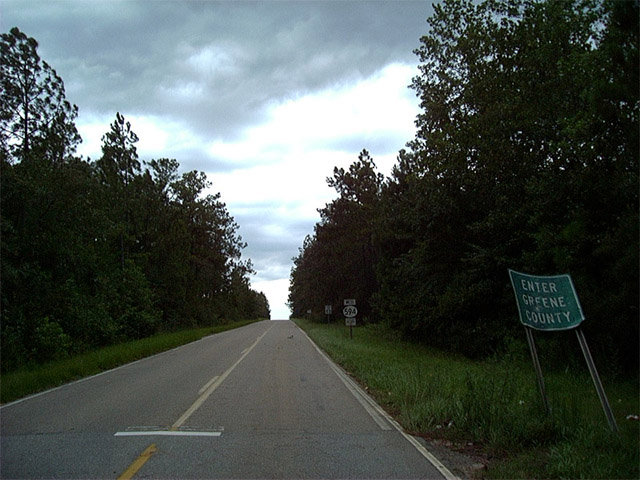
A rural route linking MS 57 and MS 63 with Mobile County, Alabama, Mississippi Highway 594 travels 5.8 miles through southeast Greene County. The state route becomes County Road 96 east to Citronelle, Alabama and ends to the west at a diamond interchange with the MS 57 / 63 expressway.
Historically, MS 594 was the route of MS 24, which extended west across southern Greene County between the state line and U.S. 98 near McLain. By 1960, MS 594 was designated along all of MS 24 west to Leakesville and U.S. 98. Route numbering changes made by the 1962 Official Mississippi Highway Map extended MS 57 east over what was MS 594 between U.S. 98 and Leakesville, and along former MS 615 from MS 63 east of Leakesville to State Line and U.S. 45. MS 594 was shortened to just three miles. The state route was lengthened again along old MS 63 northwest to the MS 57 / 63 expressway following its completion.
 East East |
 | Mississippi 594 east concludes at the state line opposite CR 96 (Beverly Jefferies Highway) east across Mash Fork Ridge. 08/21/01 |
| West |
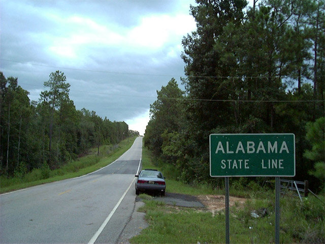
 | Mississippi 594 west begins as County Road 96 crosses the Mississippi state line from extreme northwestern Mobile County, Alabama. 08/21/01 |
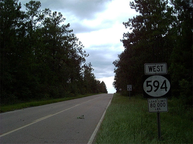 | Gone by 2011, the first confirming marker for Mississippi 594 west stood just within Greene County. 08/21/01 |
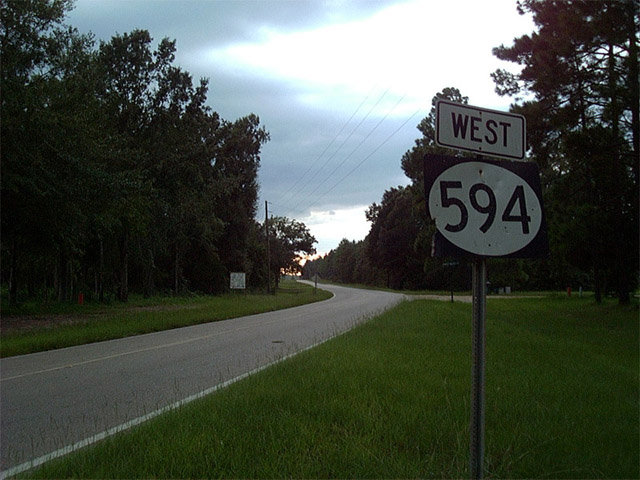 | MS 594 west meets Deer Park Road, which arcs northeast to Washington County, Alabama. A replacement reassurance marker for MS 594 was posted beyond the adjacent intersection by 2011. 08/21/01 |
Photo Credits:
08/21/01 by AARoads
Connect with:
Highway 57
Highway 63
Mobile County Road 96
Page Updated 02-21-2018.