

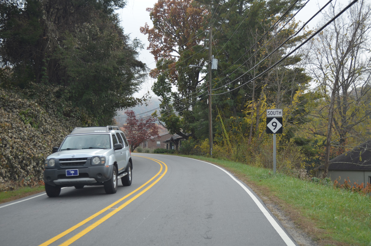
Forming a multi state highway with S.C. 9 south to Spartanburg, NC 9 travels 46.49 miles north from southern Polk County to Montreat in Buncombe County. The rural highway heads north from the Palmetto State to Green Creek, Kross Keys and Sandy Plains. Turning west from U.S. 74 at Beulah, NC 9 advances to Mill Spring near Little White Oak Mountain.
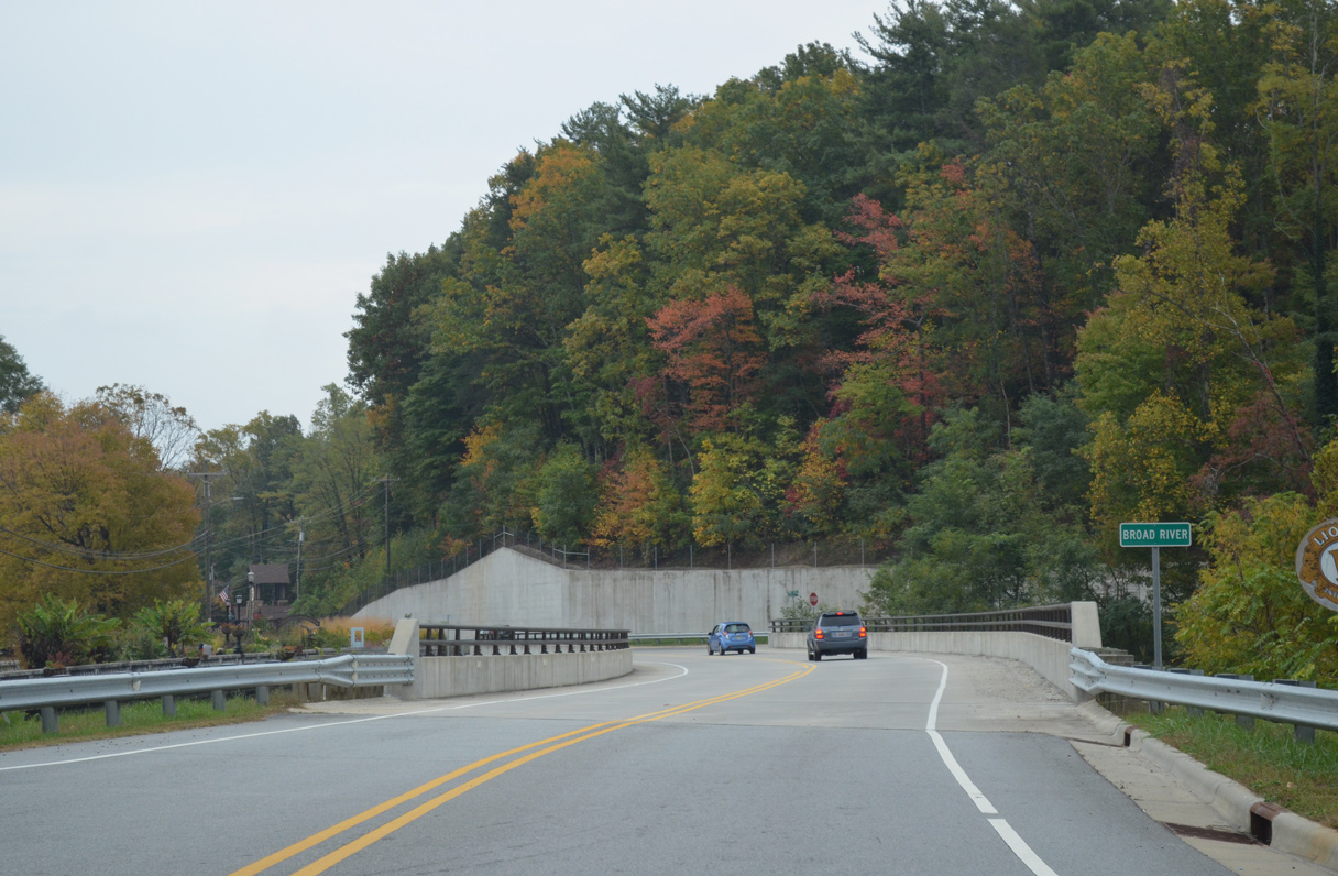
Continuing north past Lake Adger, NC 9 enters Rutherford County midway between Sunny View and Lake Lure. Combining with U.S. 64/74A for 7.24 miles, NC 9 parallels the Broad River west to Chimney Rock and across Paris Gap to Bat Cave in Henderson County. U.S. 64 turns south to Henderson 0.19 miles east of the U.S. 74A/NC 9 west split.
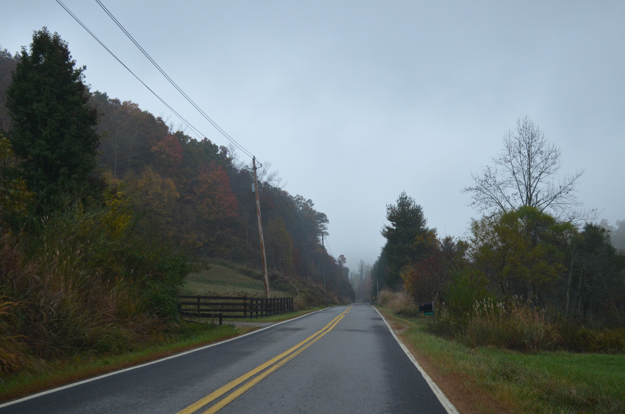
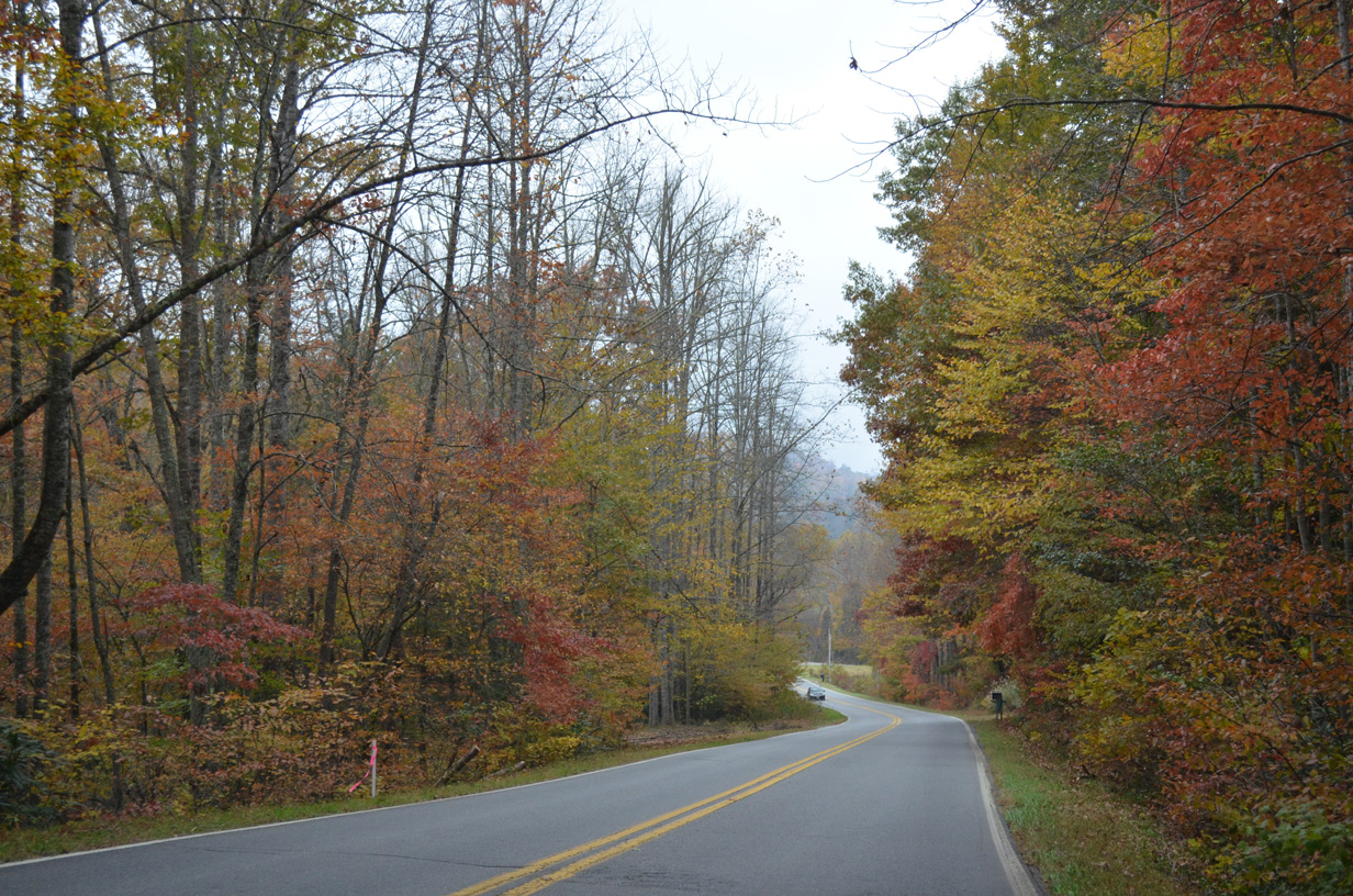
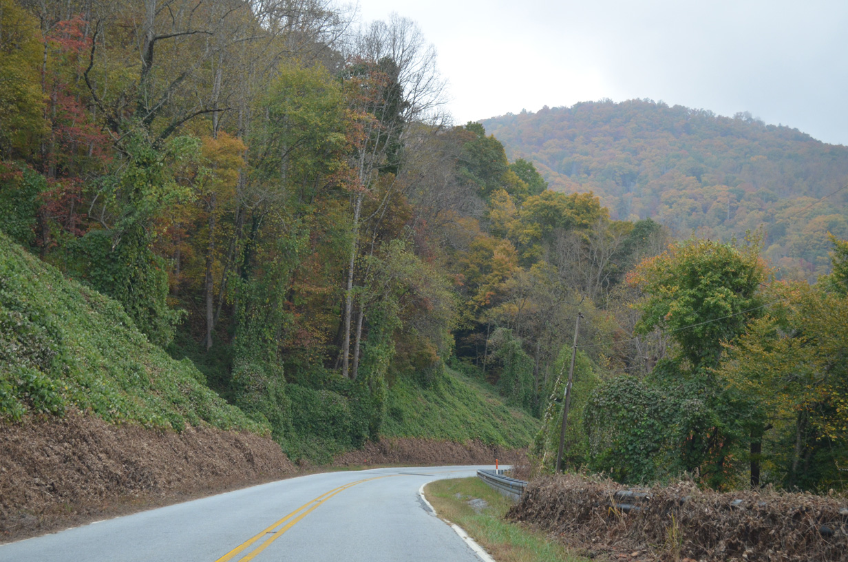
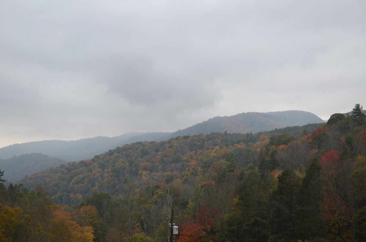
NC 9 branches north from U.S. 74A (Gerton Highway) at Bat Cave 19.56 miles to Black Mountain and Montreat. NC 9 traverses the Blue Ridge Mountains north to Camp Minnehaha Falls in Henderson County and along the Broad River in Buncombe County. The scenic highway turns northward from Stone Mountain to the Tennessee Valley Divide at Lakey Gap.
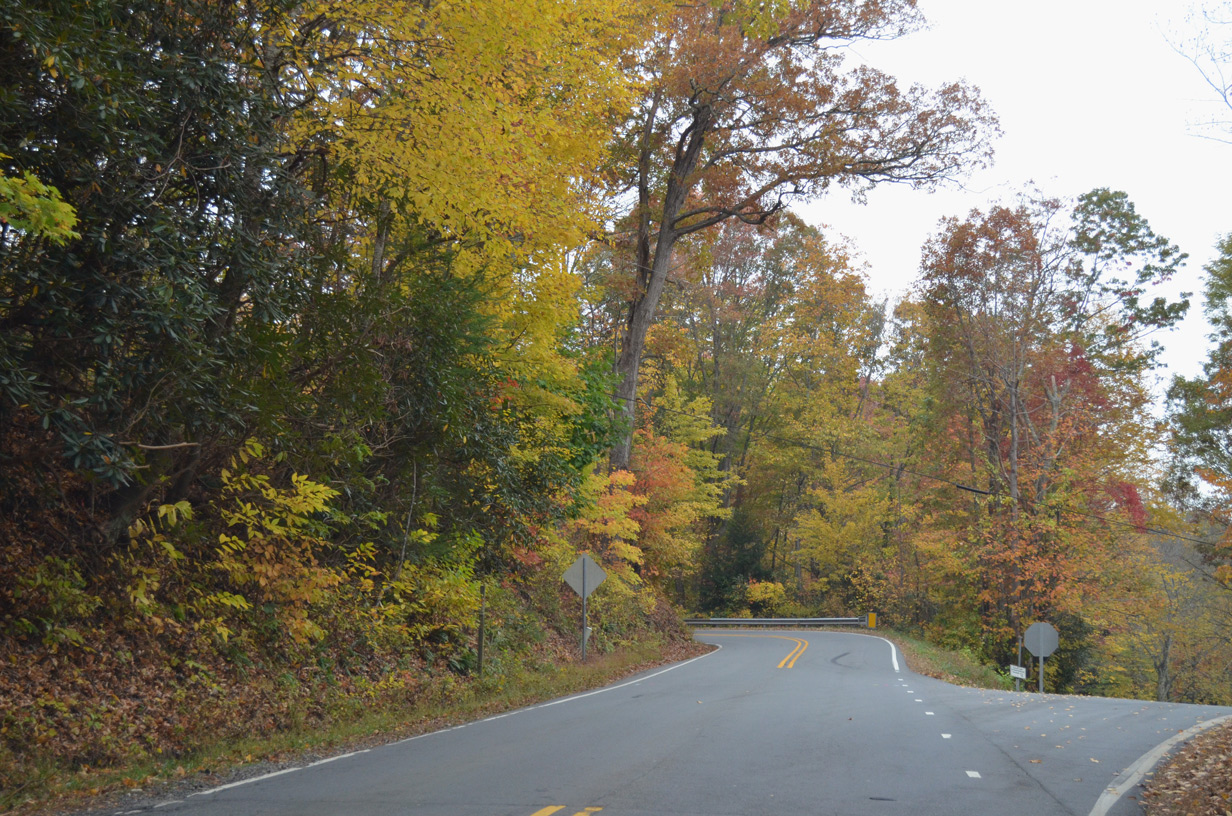
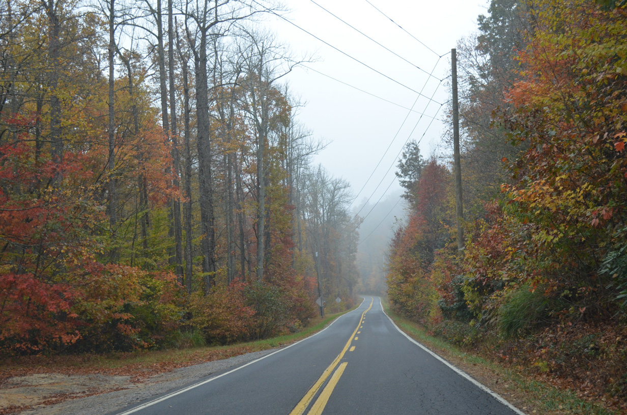
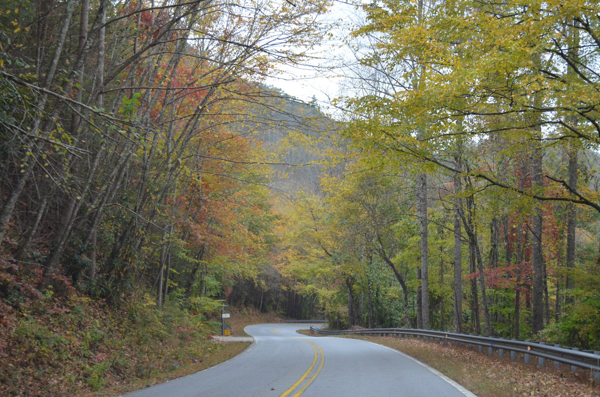
Navigating through a series of hairpin turns and switchbacks, NC 9 drops 630 feet in elevation from the Eastern Continental Divide (el. 3,028 feet) to Lakey Gap Road in the town of Black Mountain. NC 9 follows Broadway Street north to U.S. 70 (State Street) in Downtown Black Mountain, and Montreat Road north from there to the Montreat town line at Assembly Road.
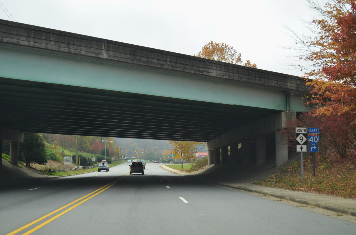
NC 9 connects with I-40 at a parclo interchange (Exit 64) 0.40 miles south of U.S. 70 (State Street) in Downtown Black Mountain.
10/24/15
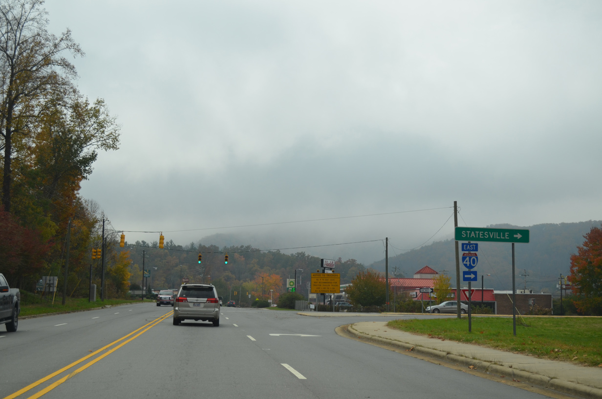
Interstate 40 heads east past Miami Mountain out of Black Mountain to Hickory and Statesville.
10/24/15
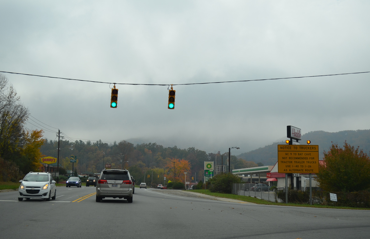
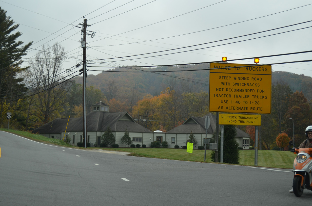
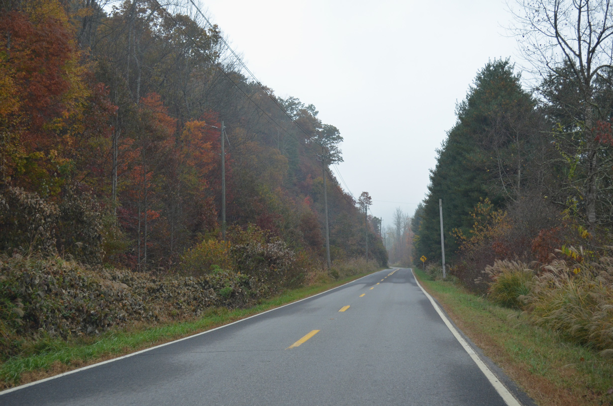
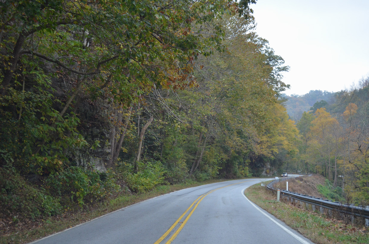
NC 9 south from Black Mountain is not a truck route due to steep grades and numerous sharp curves.
10/24/15
10/24/15
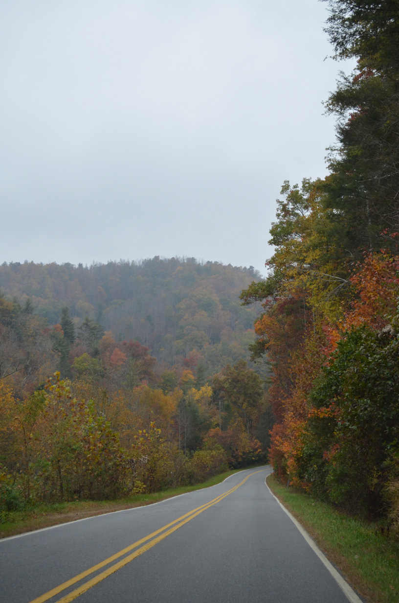
NC 9 curves southeast into the Blue Ridge Mountains by Sheep Ridge en route to U.S. 74A west of Chimney Rock.
10/24/15
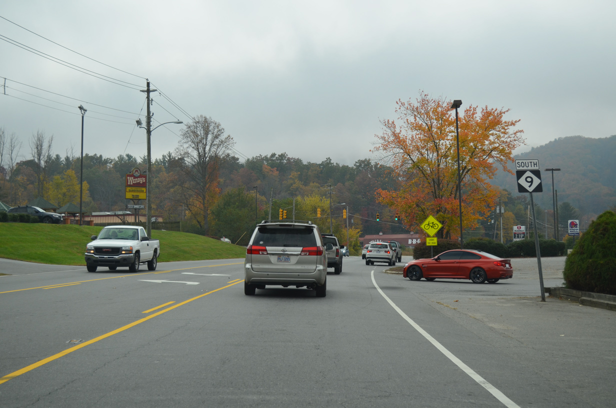
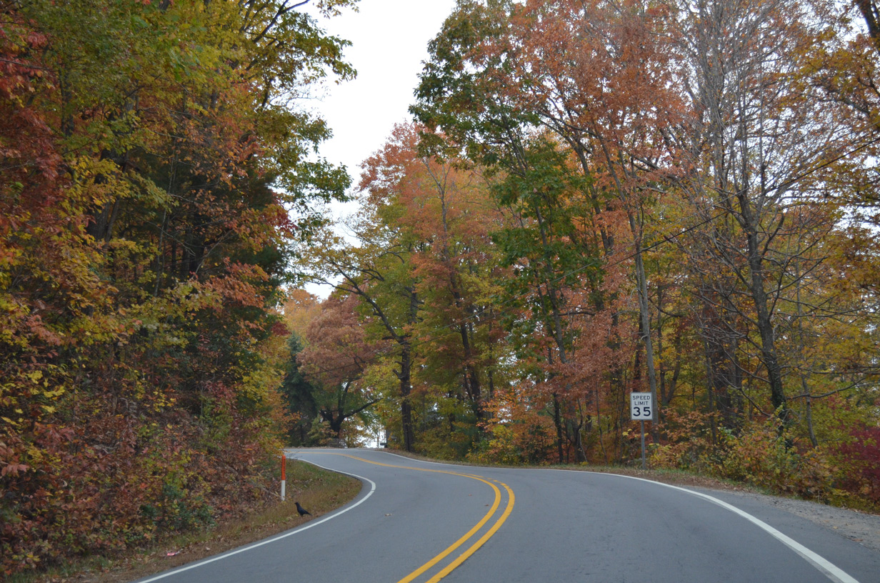
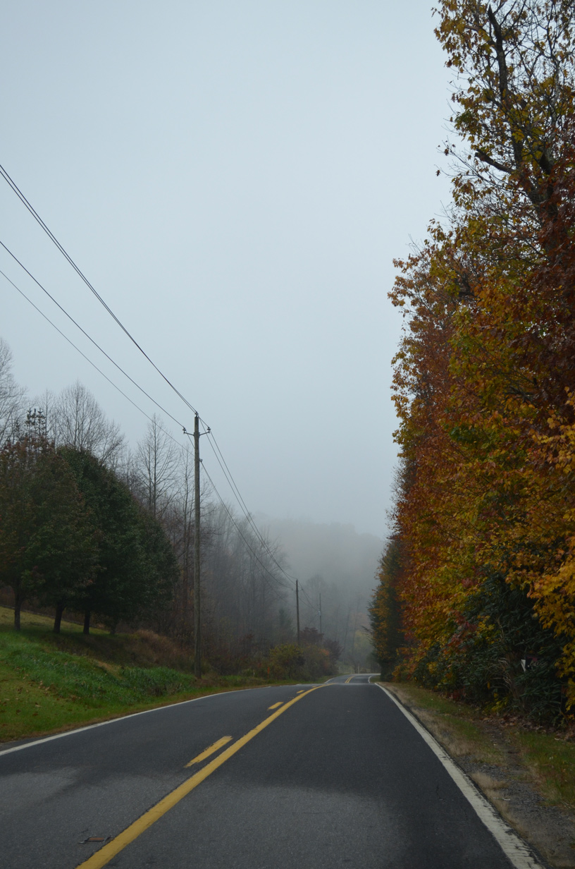
SR 9 gains elevation beyond Blue Ridge Road (SR 2500) in Black Mountain.
10/24/15
10/24/15
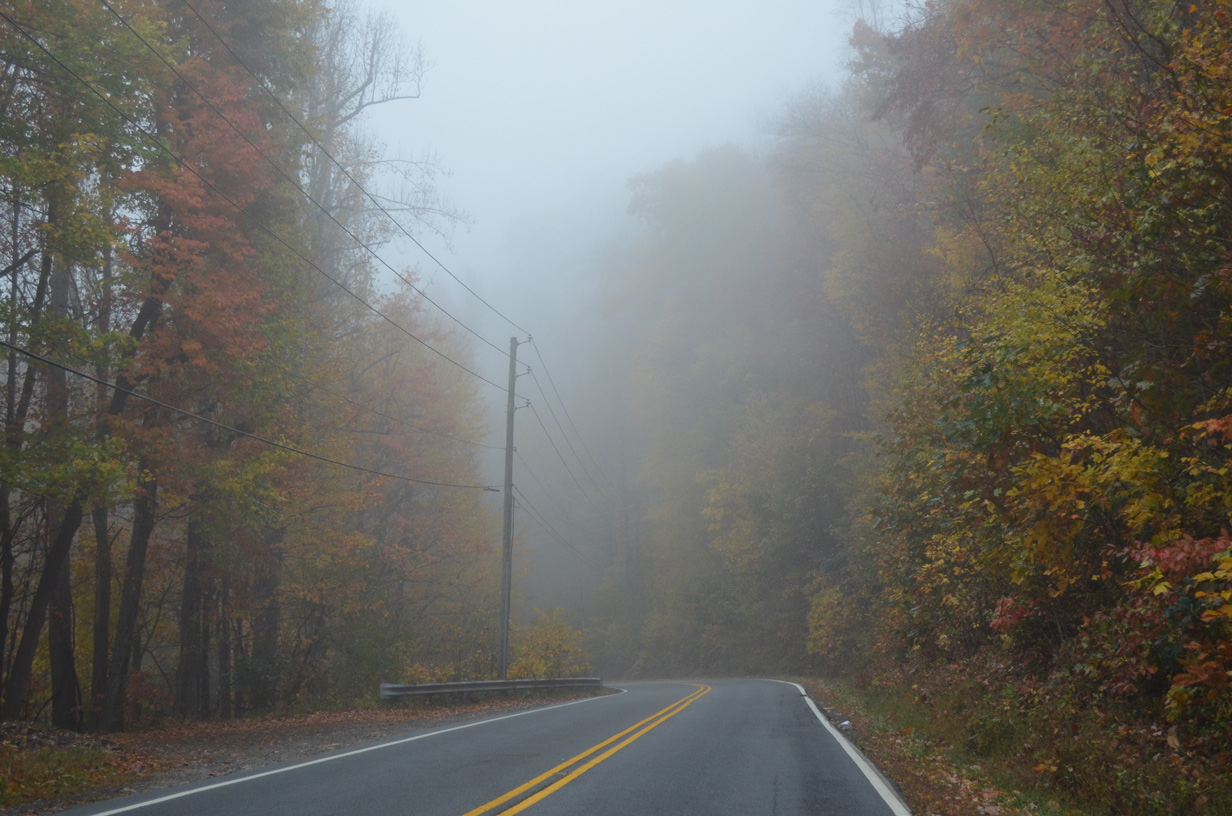
Old Lake Gap Road (SR 2713) branches northwest from NC 9 back into Black Mountain.
10/24/15
10/24/15
10/24/15
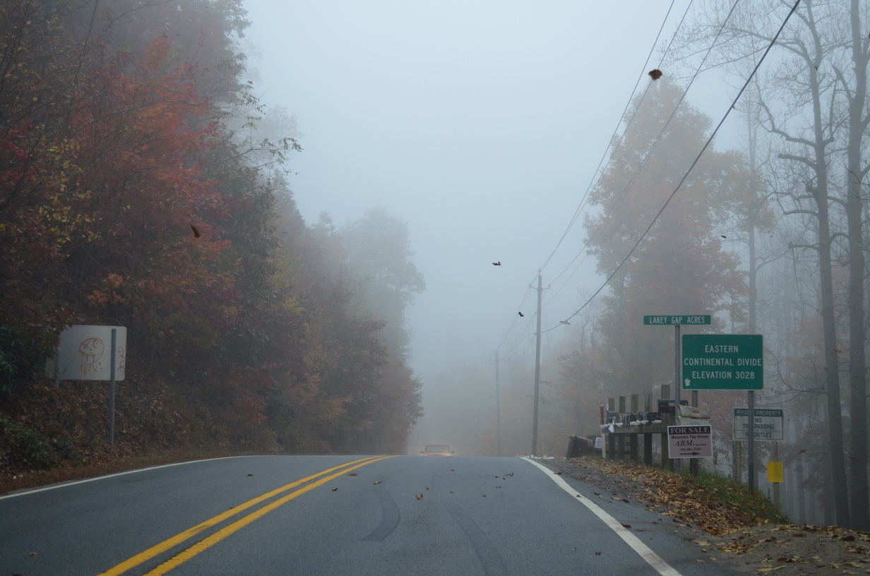
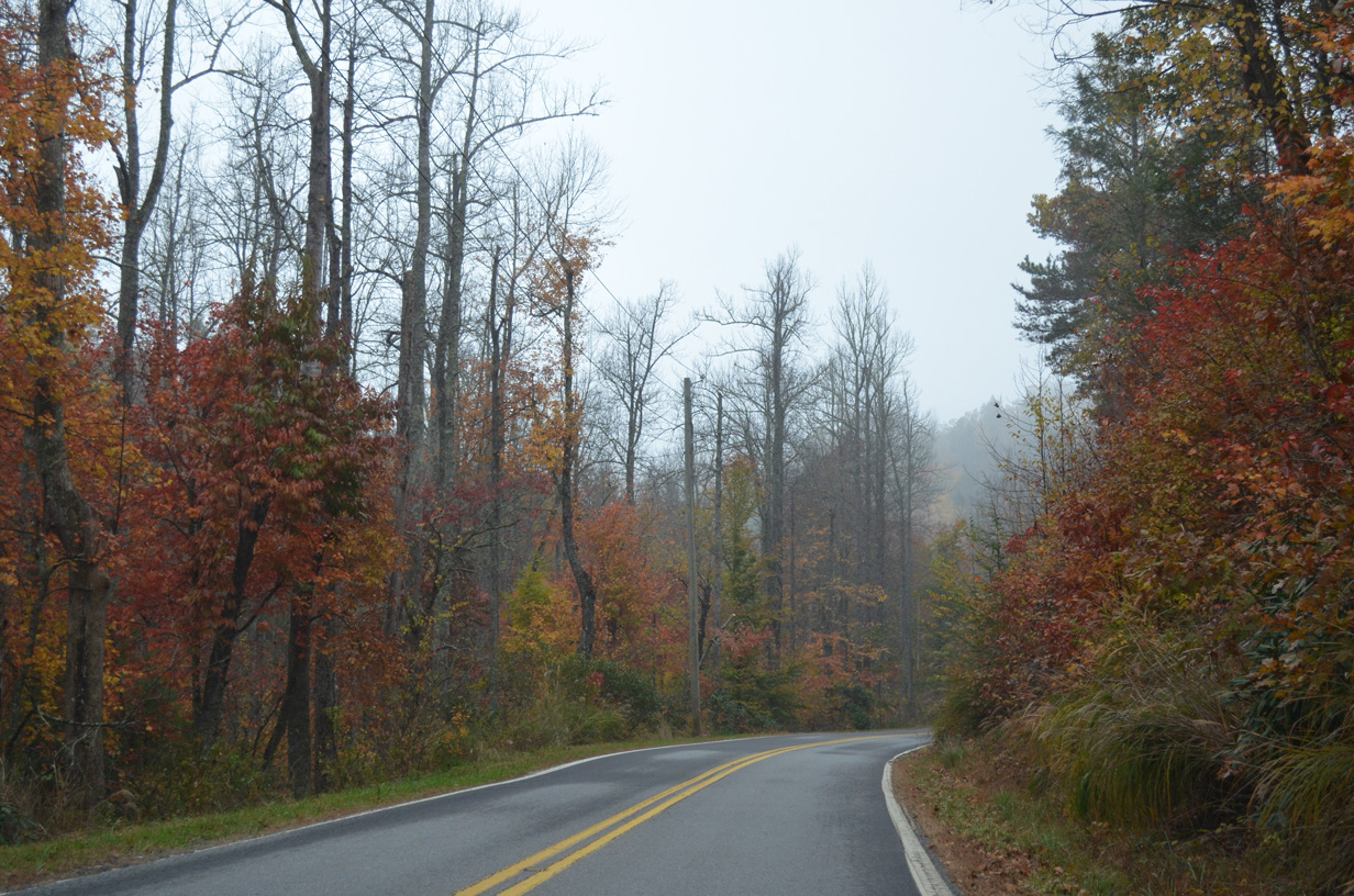
NC 9 crosses the Eastern Continental Divide at an elevation of 3,028 feet and the Lakey Gap Acres neighborhood.
10/24/15
10/24/15
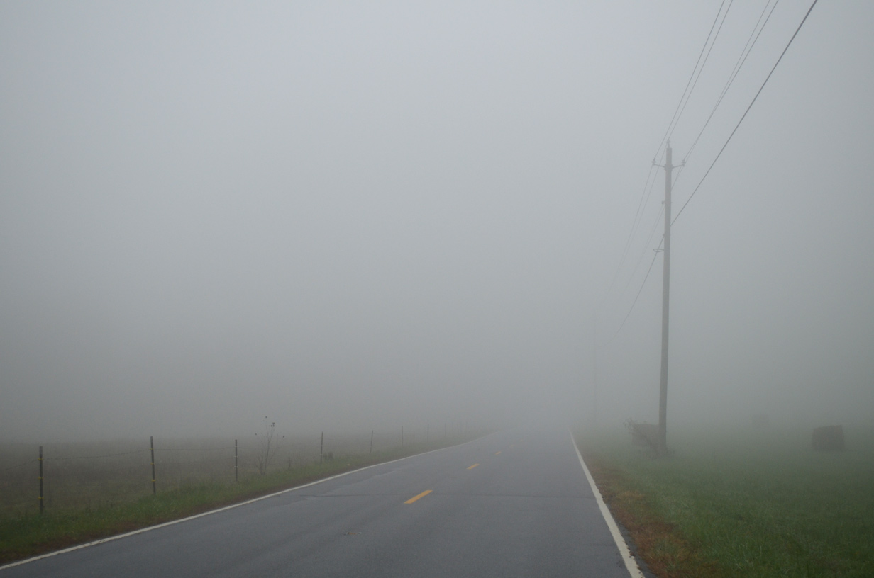
NC 9 plies across an area of farm land along the Broad River east of CR 2776 (Chestnut Hill Road).
10/24/15
10/24/15
10/24/15
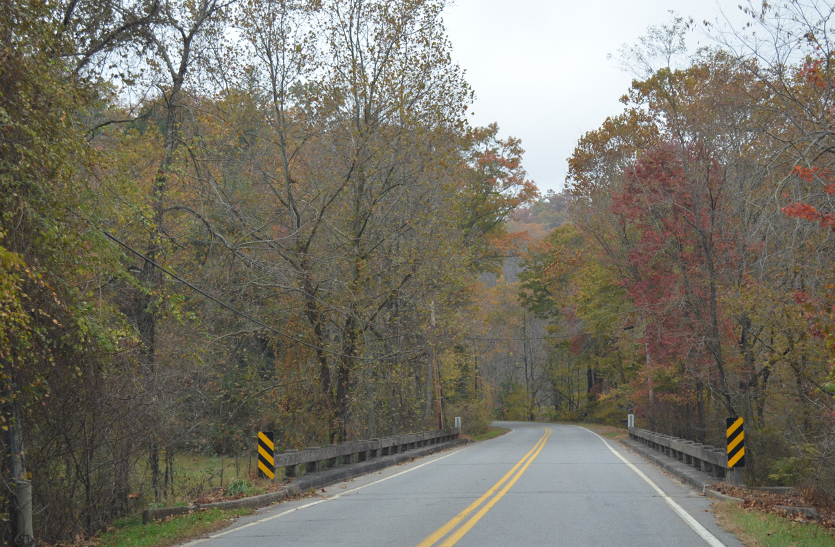
NC 9 crosses the Broad River west of Cross Mountain at an elevation of 2,398 feet above sea level.
10/24/15
10/24/15
10/24/15
10/24/15
10/24/15
10/24/15
10/24/15
Stroud Valley Road (SR 2789) spurs northwest along the Broad River.
10/24/15
Old Ford Road (SR 2791) ties into NC 9 west from Round Mountain ahead of this reassurance marker.
10/24/15
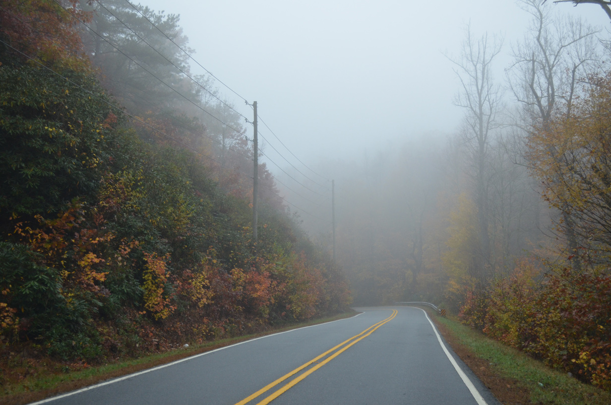
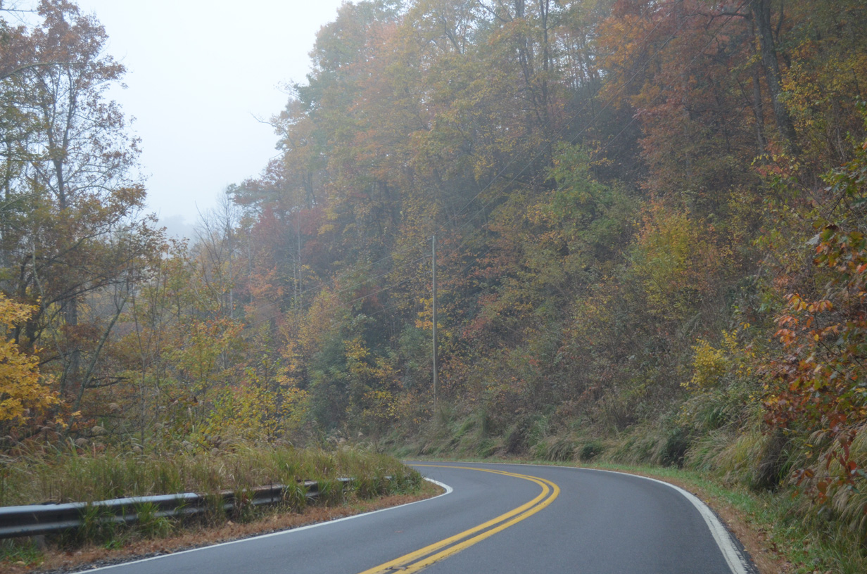
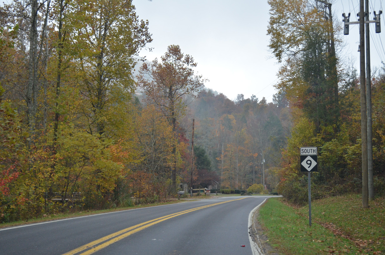
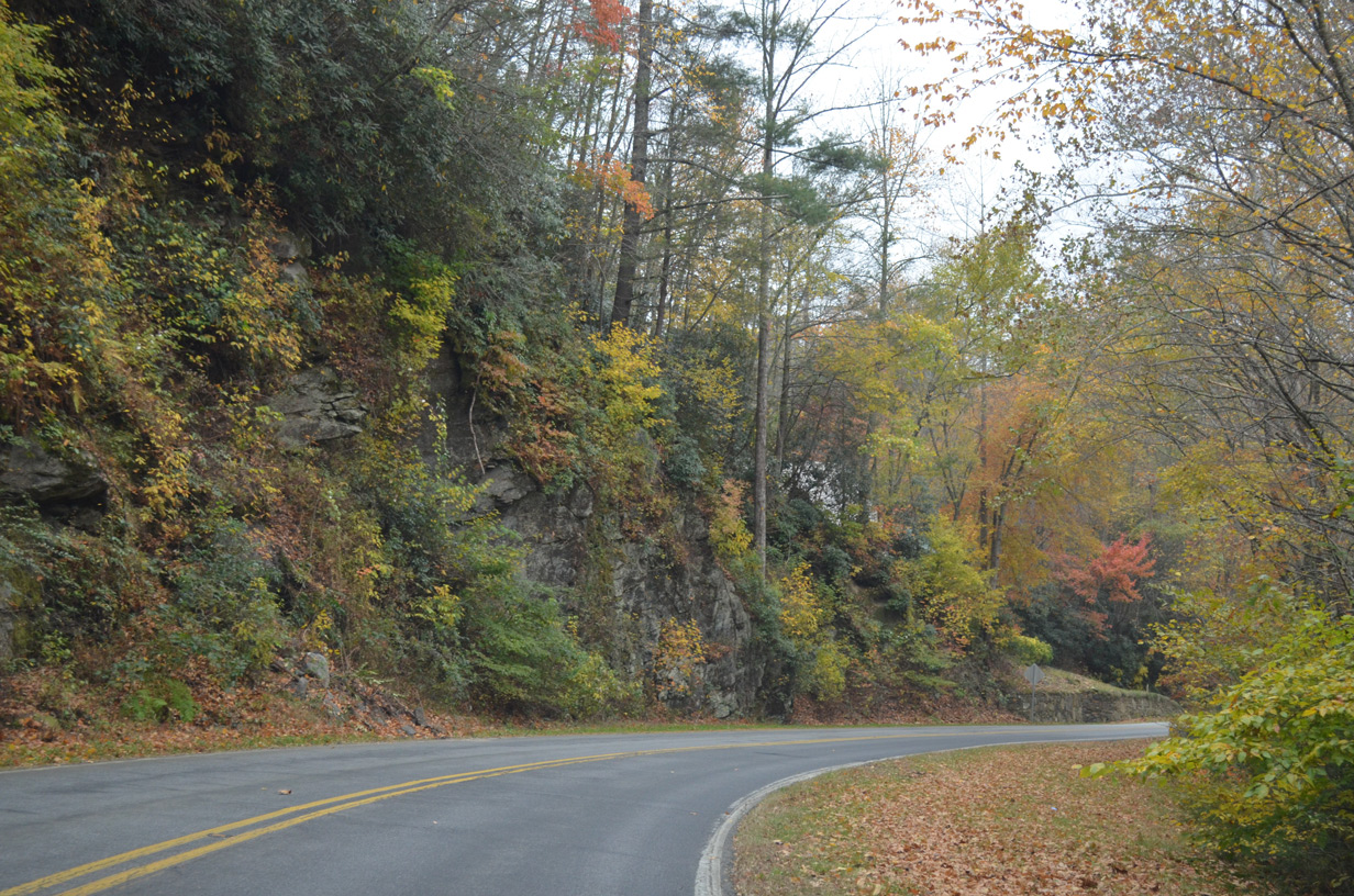
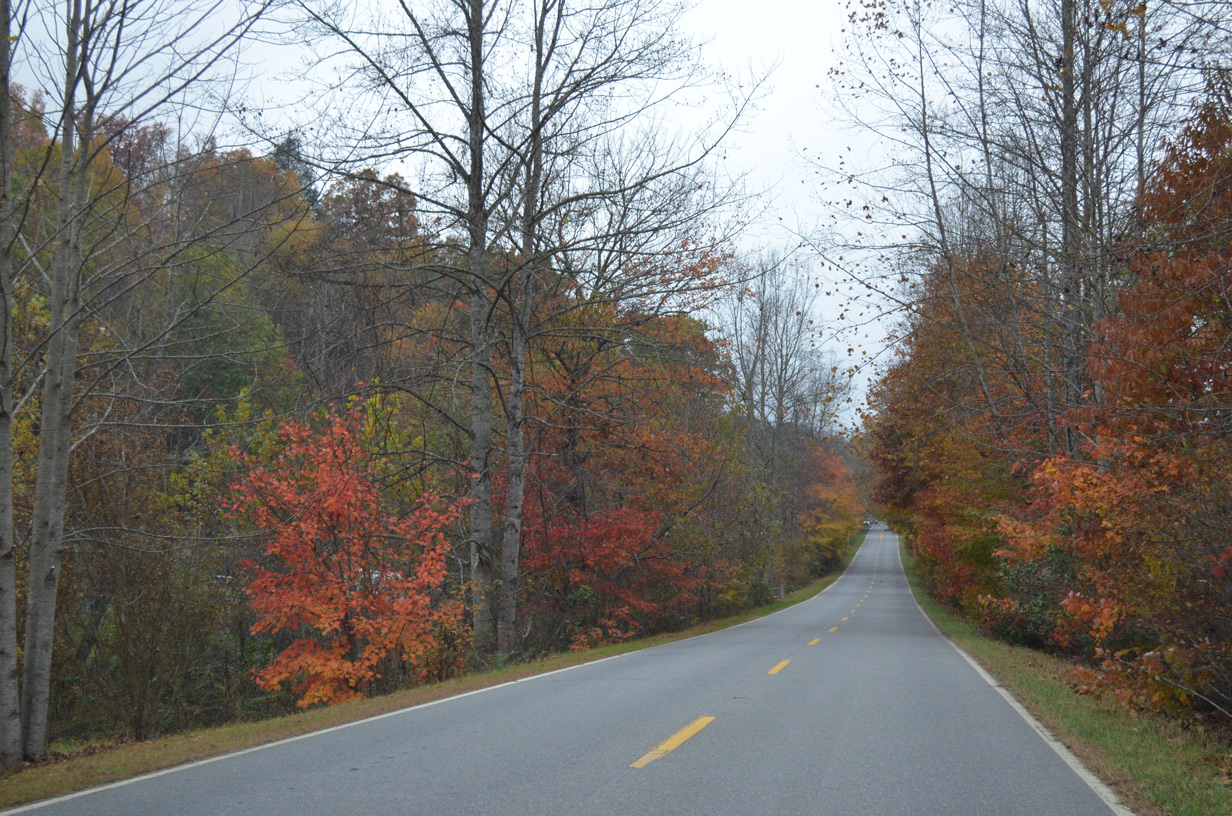
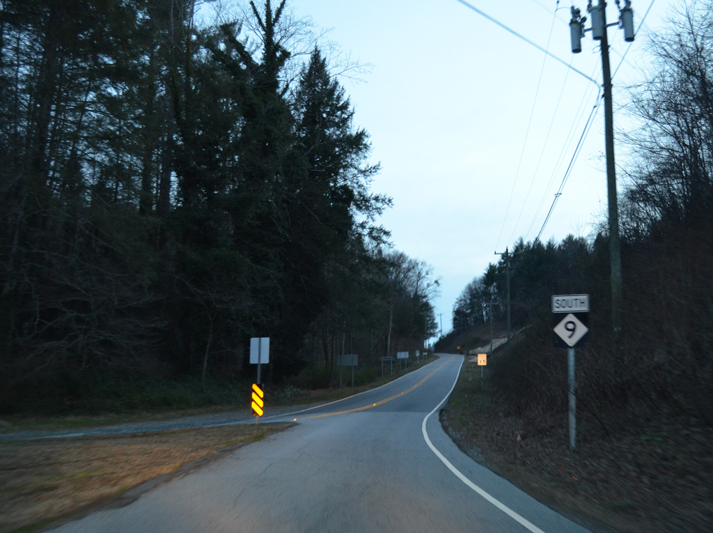
NC 9 shifts westward by Stone Mountain.
10/24/15
NC 9 crosses the Broad River again west of Lower Sand Branch Road (SR 2786).
10/24/15
10/24/15
10/24/15
10/24/15
10/24/15
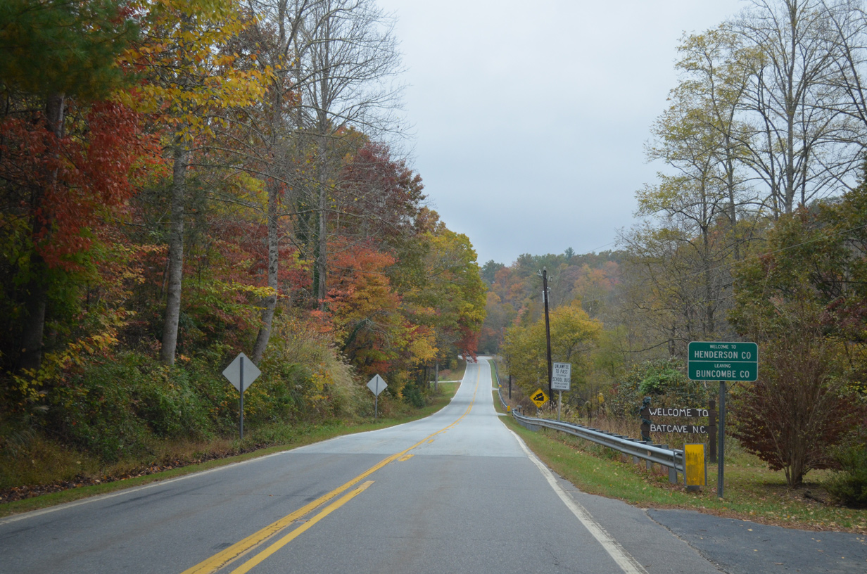
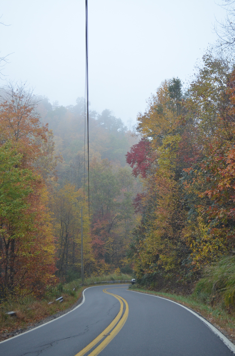
NC 9 enters Henderson County between Rattlesnake Knob and Dividing Ridge.
10/24/15
10/24/15
10/24/15
10/24/15
10/24/15
10/24/15
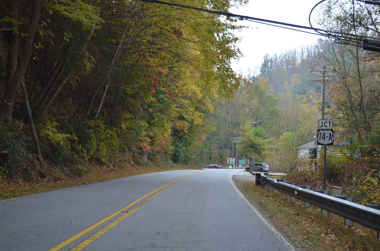
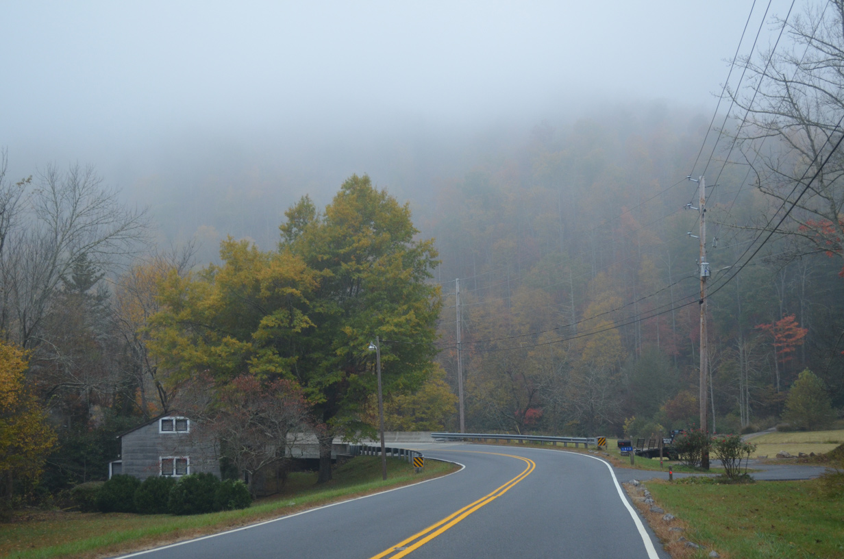
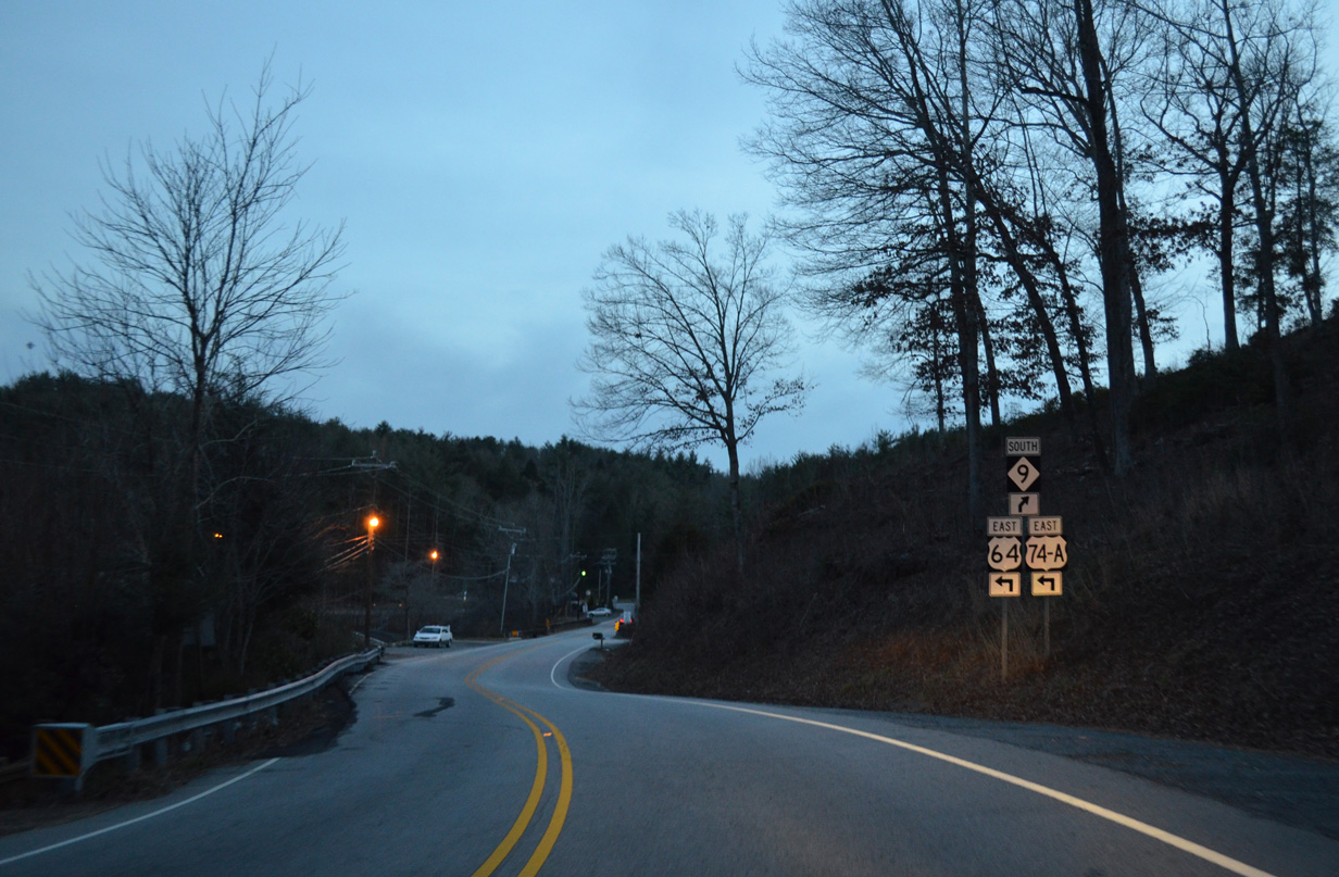
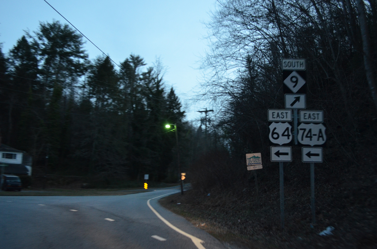
NC 9 converges with U.S 74A (Gerton Highway) alongside the Broad River at the community of Bat Cave.
10/24/15
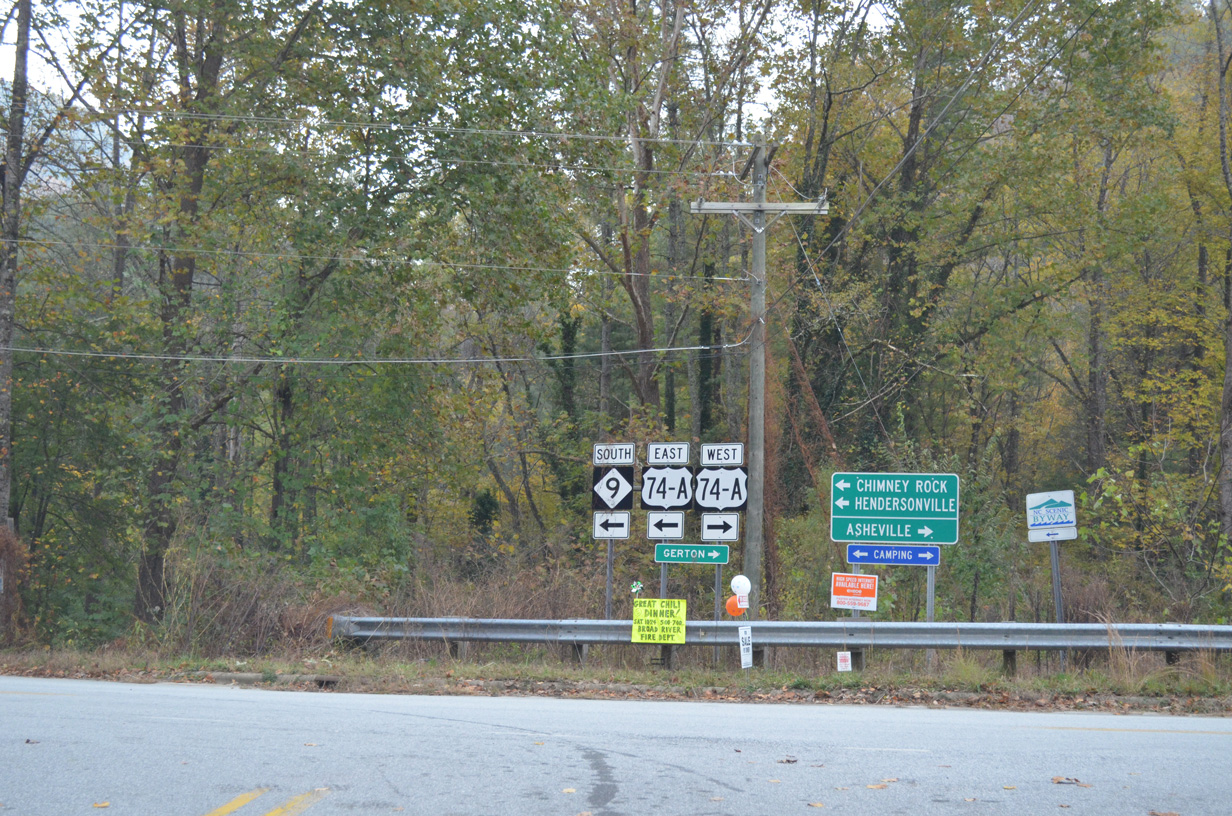
NC 9 south overlaps with U.S. 74A east 7.24 miles to Chimney Rock and Lake Lure. U.S. 74A crosses the Blue Ridge Mountains northwest to Gerton and I-40/240 at Asheville.
10/24/15
 East
East 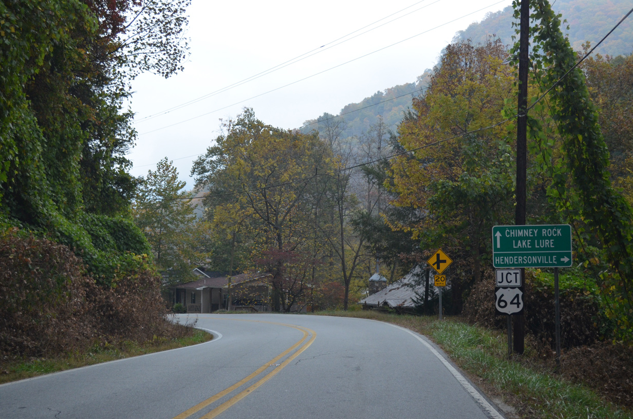
U.S. 74A/NC 9 combine with U.S. 64 east, 0.19 miles after they join in Bat Cave.
10/24/15
U.S. 64 travels southwest from the Blue Ridge Mountains to Edneyville and Hendersonville.
10/24/15
 East
East 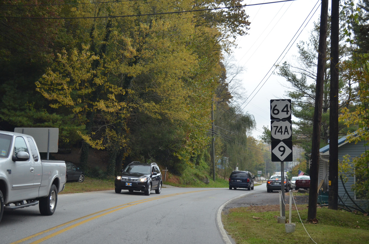
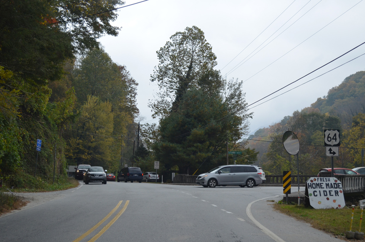
U.S. 64/74A-NC 9 proceed southeast along the Broad River from Bat Cave to Chimney Rock and Lake Lure.
10/24/15
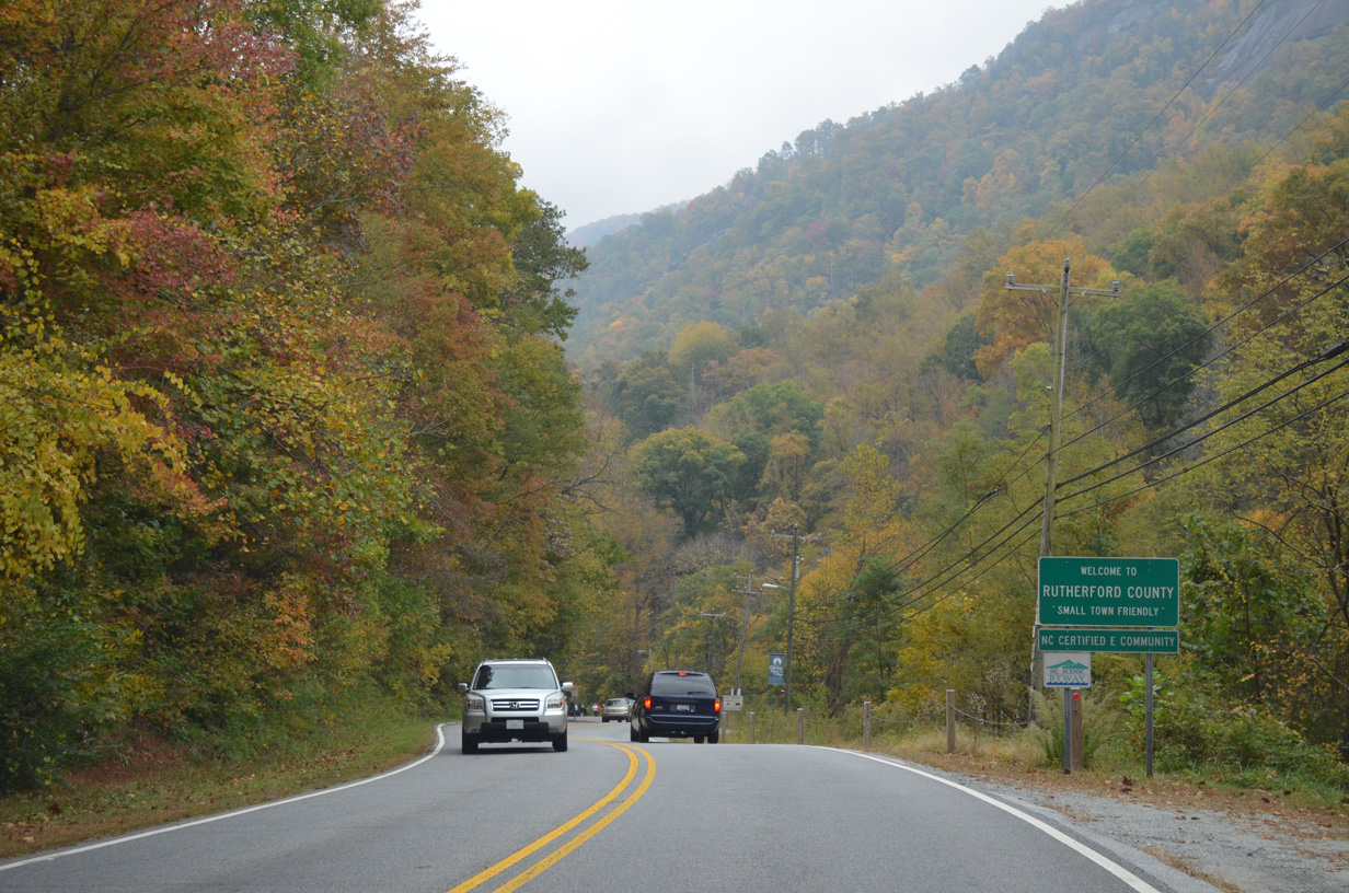
U.S. 64/74A and NC 9 cross the Rutherford County line at Paris Gap.
10/24/15
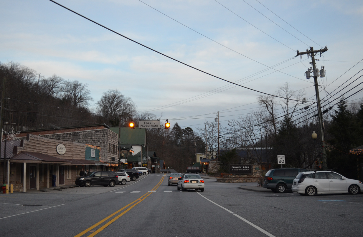
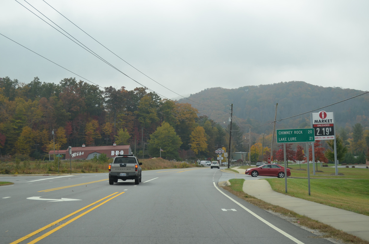
U.S. 64-74A east / NC 9 south at Chimney Rock.
12/31/13
U.S. 64/74A-NC 9 east enter the town of Lake Lure along Memorial Highway ahead of Buddy Lane (SR 1304).
10/24/15
Formed by a dam completed in 1927, Lake Lure is a man-made reservoir along the Broad River east of Chimney Rock.
10/24/15
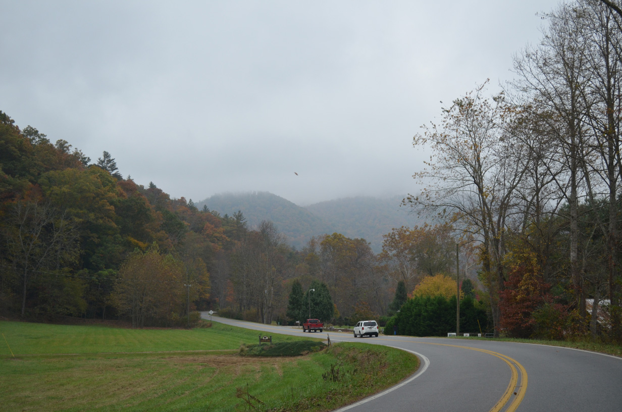
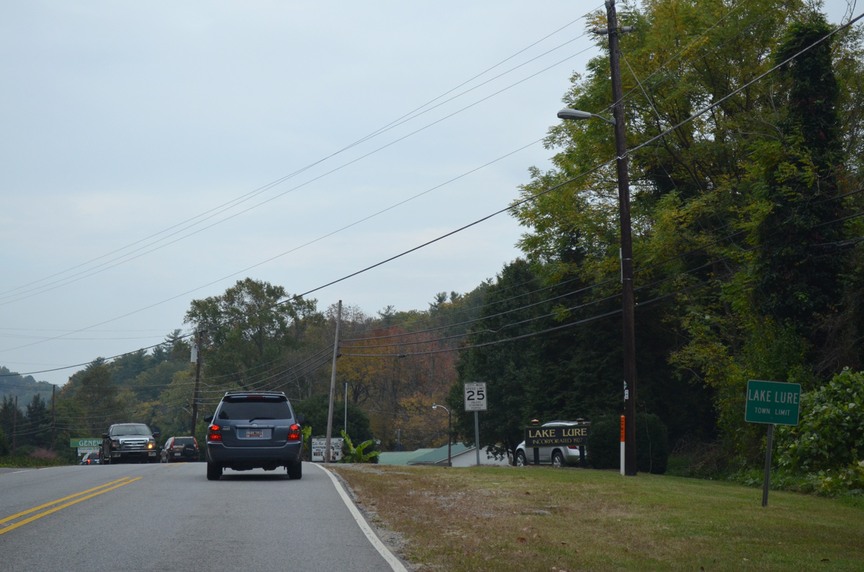
NC 9 separates from U.S. 64/74A at the south end of Lake Lure for Mill Spring.
12/31/13
U.S. 64/74A (Memorial Highway) meander northeast along the eastern periphery of Lake Lure to Uree. NC 9 south ultimately becomes S.C. 9, a lengthy route stretching across the Palmetto State to Cherry Grove Beach.
12/31/13
NC 9 branches south from U.S. 64-74A (Memorial Highway) in the town of Lake Lure to Sunny View and Mill Spring.
12/31/13
Photo Credits:
- 12/31/13 by AARoads and Carter Buchanan. 10/24/15 by AARoads.
Connect with:
Interstate 40
U.S. 64
U.S. 70
U.S. 74
U.S. 74A
Page Updated 05-17-2021.