A 60.4 mile route, NH 114 meanders northwest from Bedford to Goffstown, Henniker, Bradford, New London and Grantham. The state route follows a controlled access bypass of Bedford north from the NH 101 freeway to NH 114A (the former alignment) outside Pinardville.
|
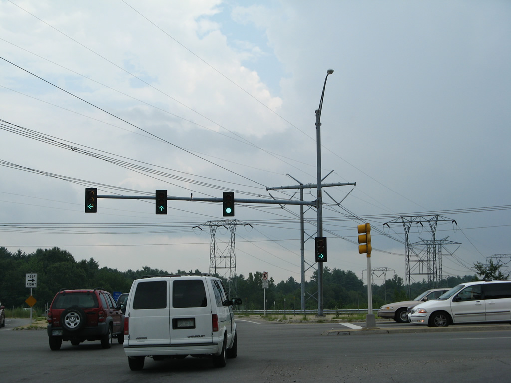
| NH 114 northbound begins and parallels a transmission line corridor from NH 101 and Boynton Street to the Goffstown town line. 07/30/07 |
|
| Old Bedford Road arcs southwest from Donald Street across NH 114 to NH 101. Goffstown lies eight miles ahead. 07/30/07 |
|
| Donald Street branches west from Old Bedford Road to become New Boston Road at the signalized intersection with NH 114. New Boston Road ventures west by adjacent Beards Hill to Klondike Corner within the town of New Boston. 07/30/07 |
|
| The final reassurance marker for NH 114 stands beyond the intersection with New Boston Road west and Donald Street east. 07/30/07 |
|
| Old Bedford Road spans NH 114 west from Donald Street. 07/30/07 |
|
| NH 114 south leads directly to the beginning of the NH 101 freeway east to south Manchester. 07/30/07 |
|
| An array of power lines run alongside the final miles of NH 114 into Bedford. The transmission corridor extends southward to a substation in Tewksbury, Massachusetts. 07/30/07 |
|
| Boynton Street extends northeast from the turn of NH 101 into southwest Manchester. 07/30/07 |
|
| NH 101 connects the Bedford and Manchester area with Milford and Keene to the southwest. The state route combines with I-293 across the Merrimack River to Interstate 93. 07/30/07 |
|
| All of NH 101 east from NH 114 and Boynton Street in Bedford to U.S. 1 in Hampton is a freeway. 07/30/07 |
Page Updated 02-17-2015.