New Hampshire Route 153 travels 50.7 miles northward from NH 11 at Farmington to NH 16/113 in Conway. The mostly rural route straddles the state line north from Stump Pond in Wakefield to Province Lake, where the route briefly enters Parsonfield, Maine to South Effingham. The highway turns away from Maine at East Freedom, joining NH 25 west to Effingham Falls, before resuming a northward heading into the mountains of Eaton and Conway.
|
| NH 153 (Wakefield Road) intersects NH 16 (White Mountain Highway) just north of Union in south Wakefield. The route parallels NH 16 to the east beyond this shield assembly to Union Meadows and Sanbornville. 07/29/07 |
|
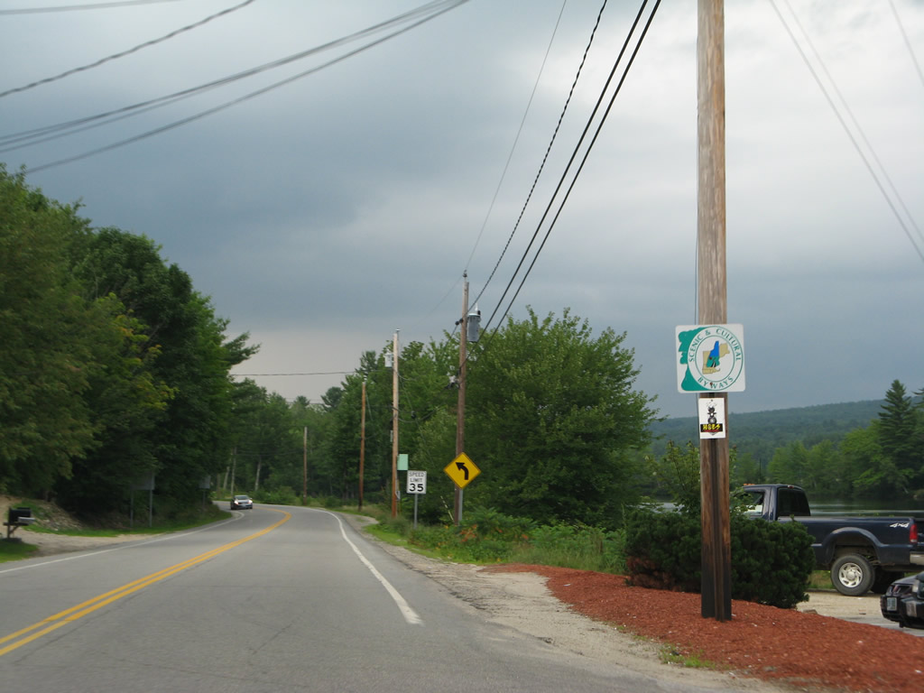
| Northward from Union, NH 153 doubles as a Scenic & Cultural Byway. 07/29/07 |
|
| A short connector links NH 153 (Wakefield Road) with adjacent NH 16 (White Mountain Highway) between the intersections with Whippoorwill Road. This shield assembly follows the connector. 07/29/07 |
|
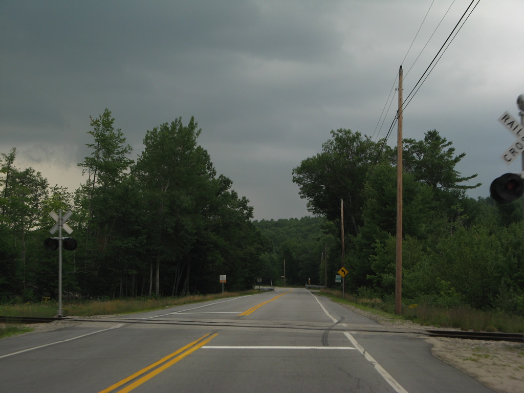
| NH 153 parallels the New Hampshire Northcoast Railroad north from Union to Sanbornville. The railroad line shifts sides with the state route just ahead of the crossing over the Branch River. 07/29/07 |
|
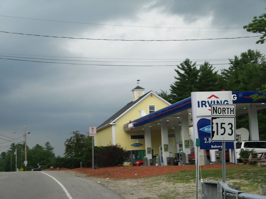
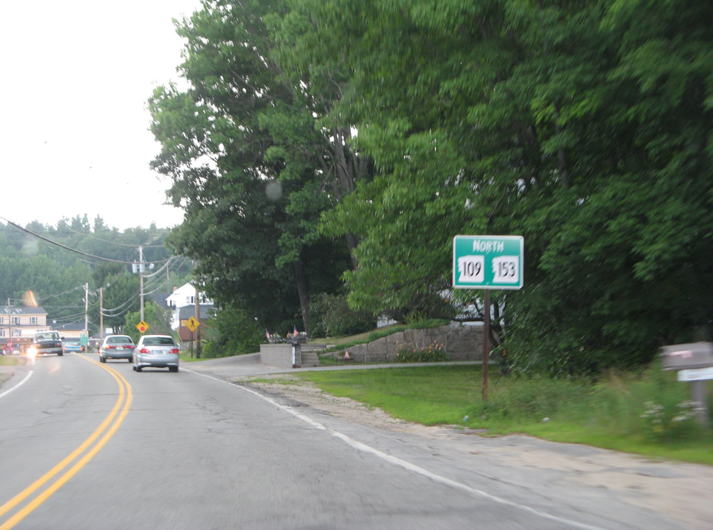
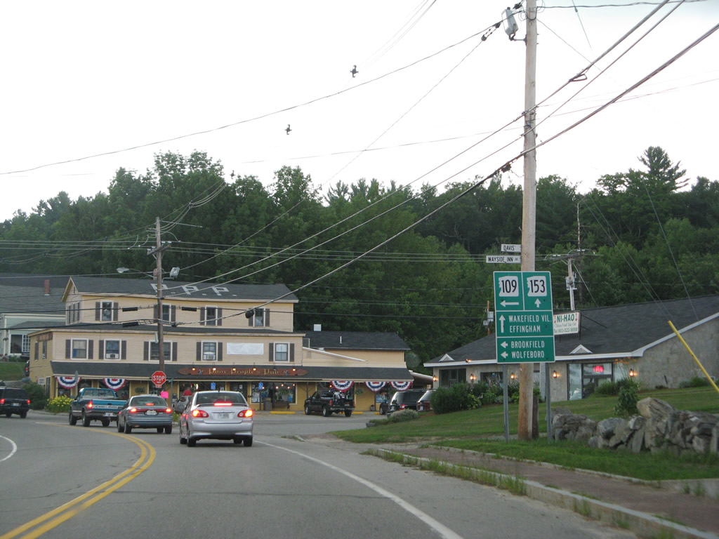
| NH 109 north combines with NH 153 (Wakefield Road) around the east side of Sanbornville. NH 109 enters the overlap from the west side of Lovell Lake via Milton Mills. 07/29/07 |
|
| The 0.3 mile overlap concludes with NH 109 turning west onto Meadow Street to NH 16 and Governor John Wentworth Highway west to Brookfield, Lake Wentworth and Wolfeboro Center. 07/29/07 |
|
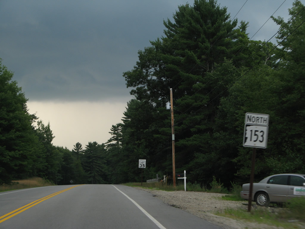
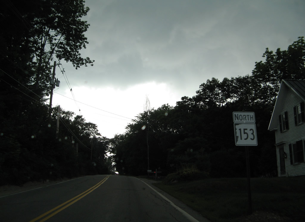
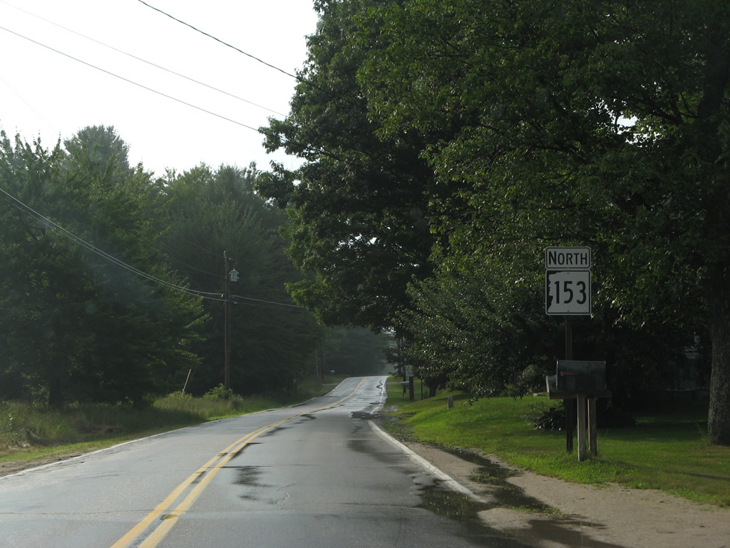
| NH 153 (Wakefield Road) ascends northward from Sanbornville and NH 109. 07/29/07 |
|
| Wakefield Road arcs northwest from the split with NH 153 at Province Lake Road to NH 16 to Ossipee. 07/29/07 |
|
| The state route advances northeast from the Wakefield town center to Effingham and West Newfield, Maine. 07/29/07 |
|
| Meandering northward, NH 153 (Province Lake Road) travels through East Wakefield and Woodman to intersect Stevens Corner Road east to Maine 110. SR 110 travels 2.8 miles to West Newfield and 3.6 miles overall to SR 11 in Newfield. 07/29/07 |
|
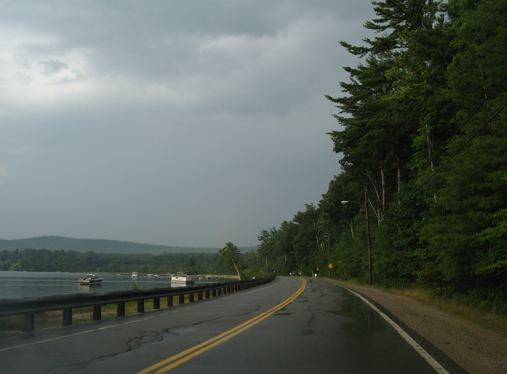
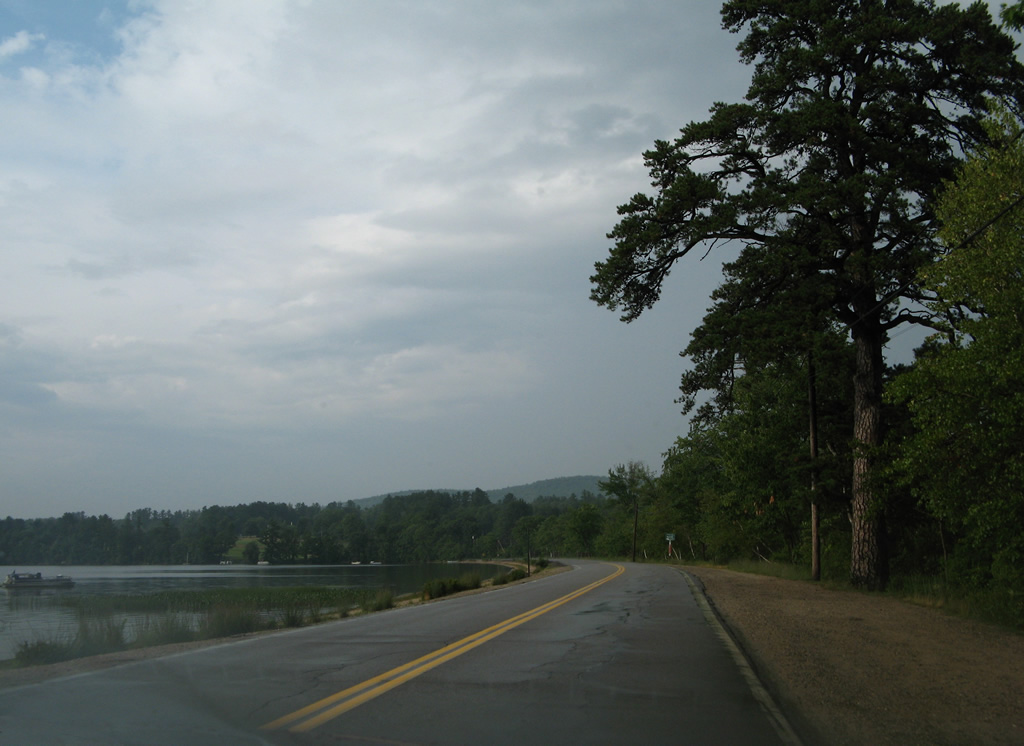
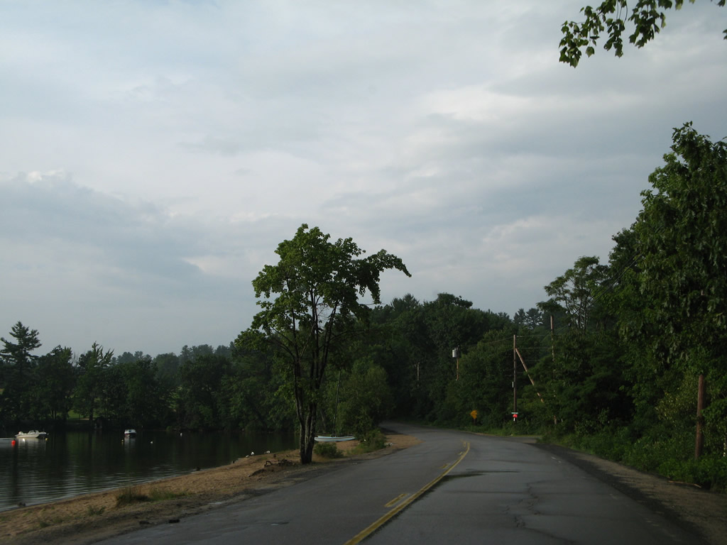
| Three miles northward, NH 153 reaches the southern extent of Province Lake. 07/29/07 |
|
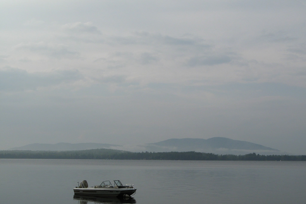
| Pocket Mountain (elevation 1,181 feet) rises prominently to the west of Province Lake. 07/29/07 |
|
| Province Lake spreads across 968 acres with a maximum depth of 17 feet. 07/29/07 |
|
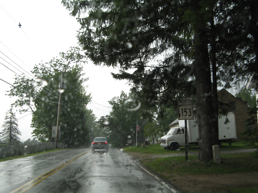
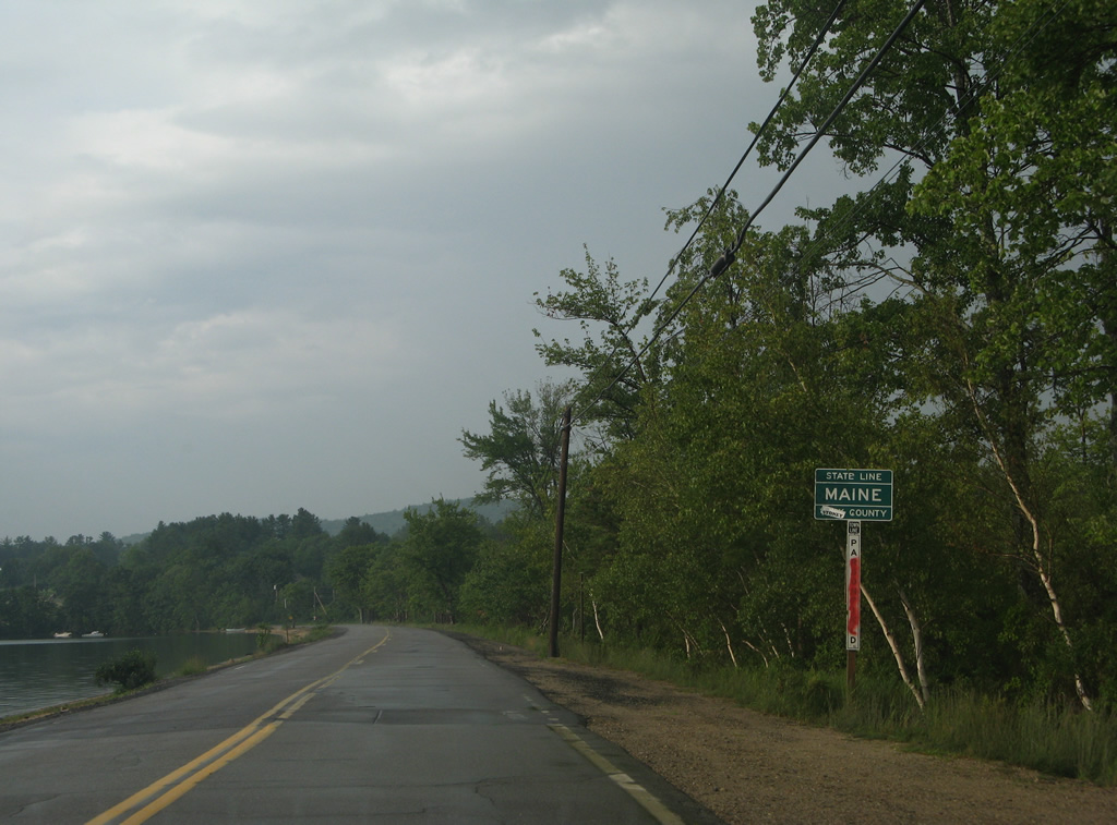
| NH 153 crosses the Maine state line along the eastern periphery of Province Lake. 07/29/07 |
|
| NH 153 veers westward to run along the Maine state line from ahead of Smith Road through South Effingham to Stagecoach Road. 07/29/07 |
|
| NH 153 (Province Lake Road) angles northwest from the state line to Center Effingham. 07/29/07 |
|
| Effingham town line sign posted at the turn from Stagecoach Road east and Hasty Road north. 07/29/07 |
|
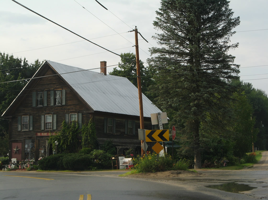
| Reassurance marker posted on the 2.5 mile drive to Center Effingham. 07/29/07 |
|
| Crossing the South River, NH 153 kinks northward between Rumney and Colcord Hills to Center Effingham. 07/29/07 |
|
| Green Mountain (elevation 1,854 feet) appears to the north from a clearing along NH 153 (Province Lake Road) at Center Effingham. 07/29/07 |
|
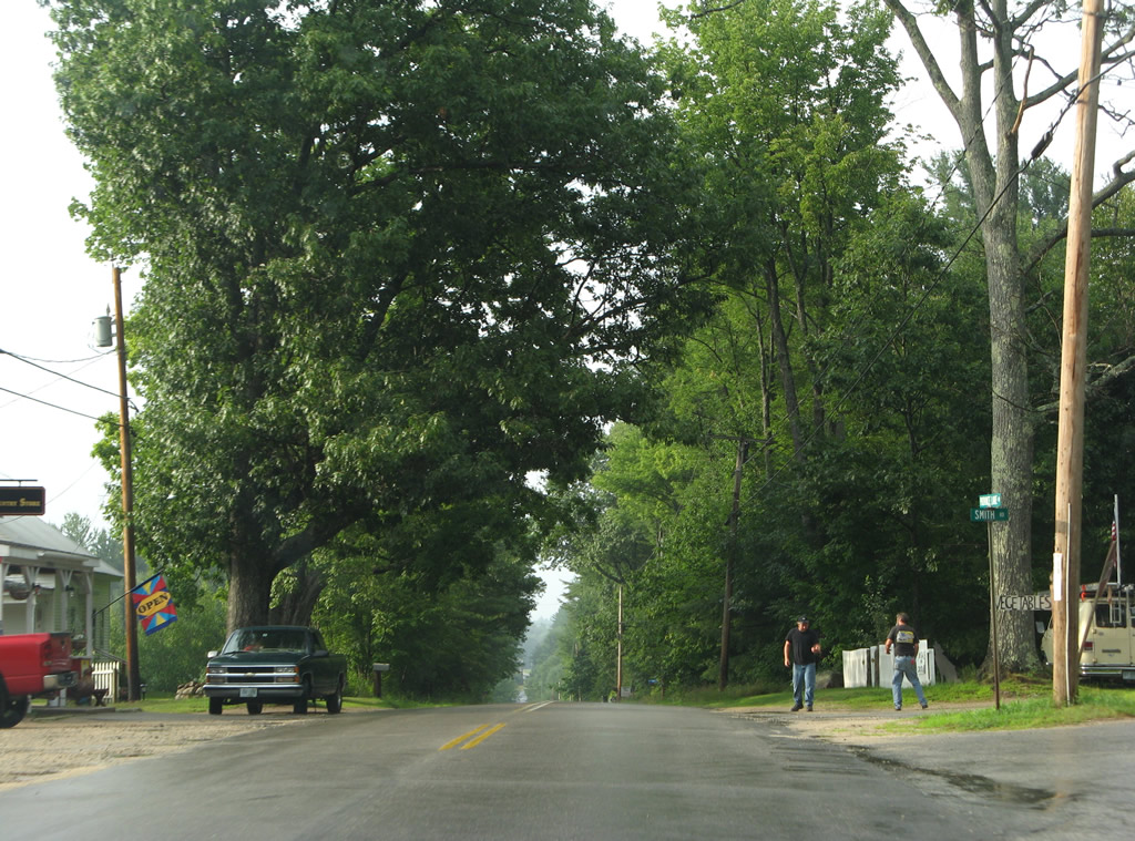
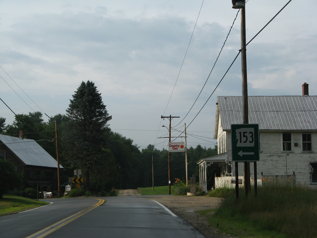
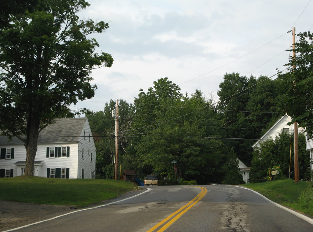
| NH 153 north reaches the Effingham town center at Plantation Road. The state route dog legs west onto Huntress Bridge Road here. 07/29/07 |
|
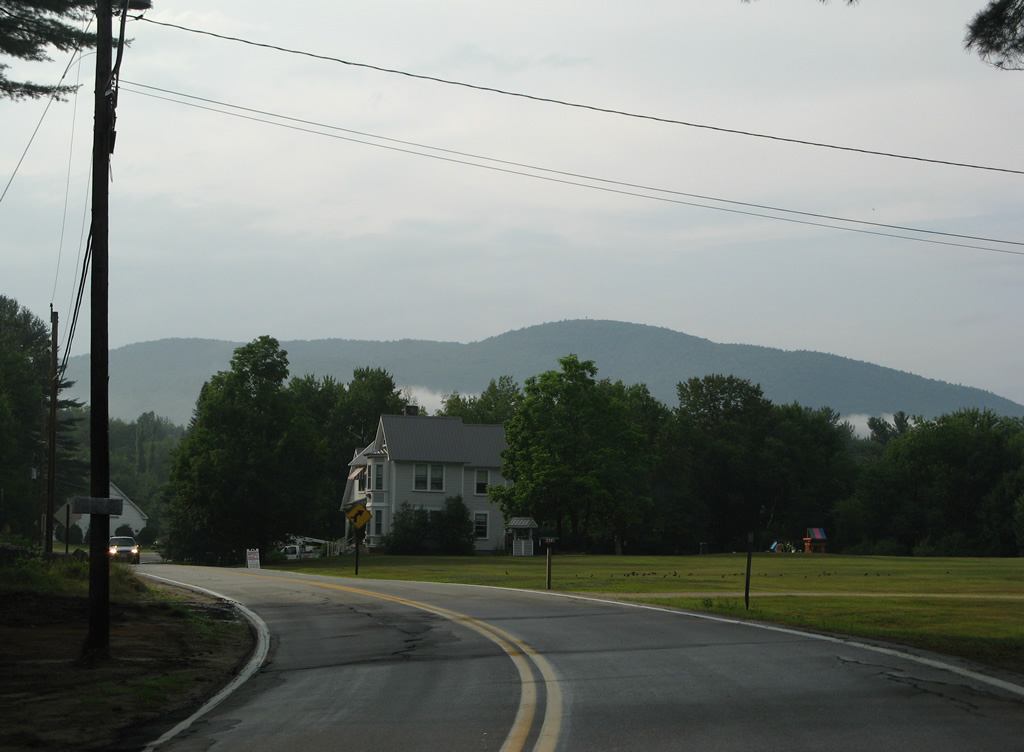
| Hugging the northern slopes of Green Mountain, NH 153 (Province Lake Road) parallels the Ossipee River to the merge with NH 25 (Ossipee Trail) west. 07/29/07 |
|
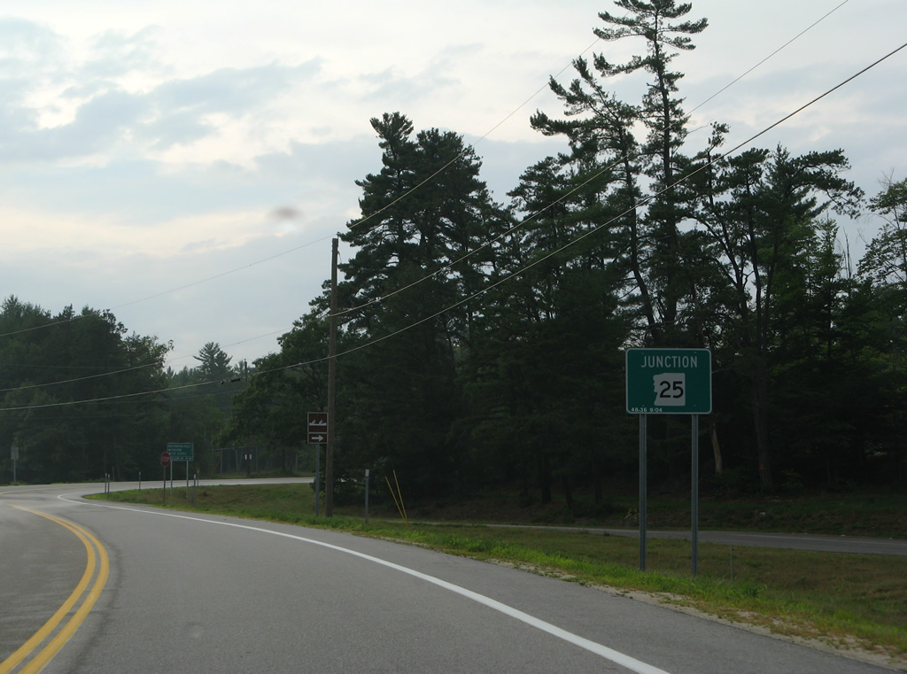
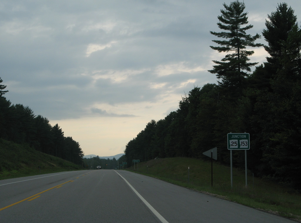
| NH 25 & 153 combine for a short distance west to the intersection of Green Mountain and Eaton Roads near Effingham Falls. NH 25 west leads otherwise three miles to Freedom, seven miles to Center Ossipee and 44 miles east as Maine 25 to Portland. 07/29/07 |
|
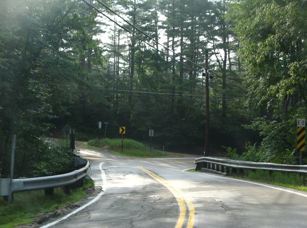
| NH 25 west & 153 north overlap west for 0.8 miles. School Street splits from the state route ahead as the former alignment of both routes to Iron Works Road at Eaton Road. 07/29/07 |
|
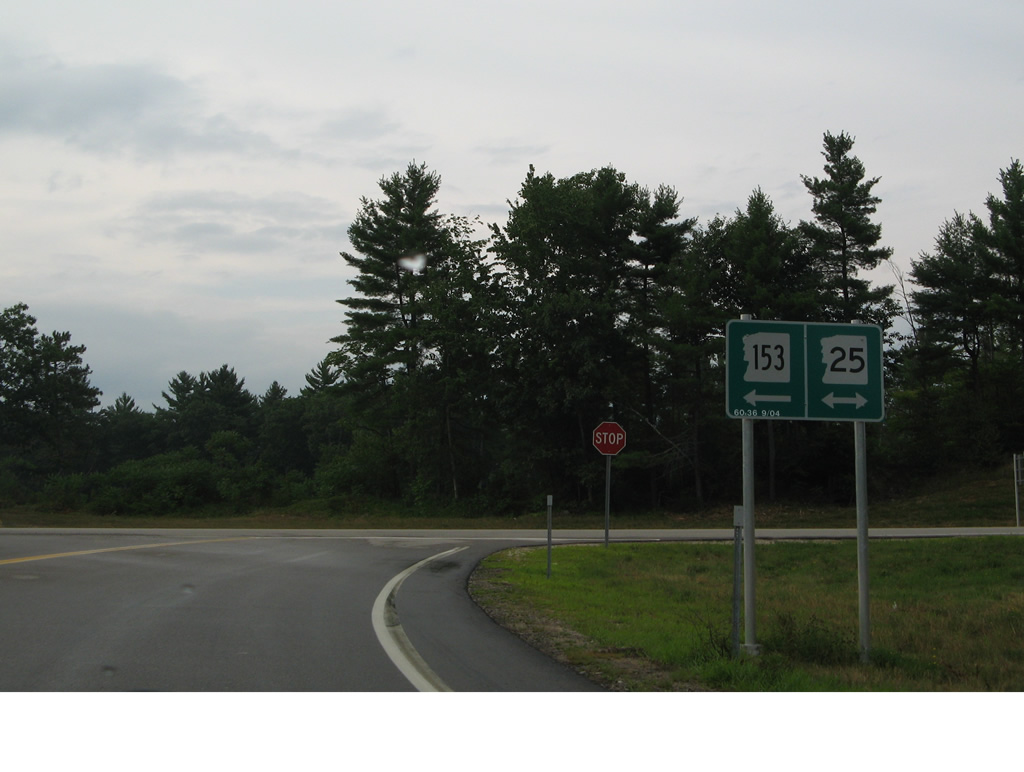
| School Street arcs northward to Effingham Falls as NH 25 & 153 prepare to split at Eaton Road. 07/29/07 |
|
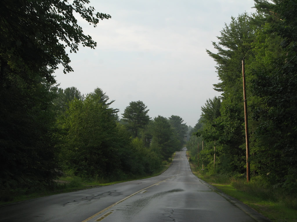
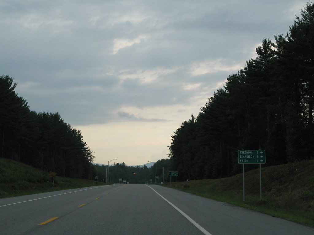
| NH 153 journeys northward five miles to East Madison and eight miles by a series of ponds and Lyman Mountain to Eaton Center. Connections with Freedom Village Road north of Freedom Falls and the Ossipee River lead motorists to the Freedom town center. 07/29/07 |
|
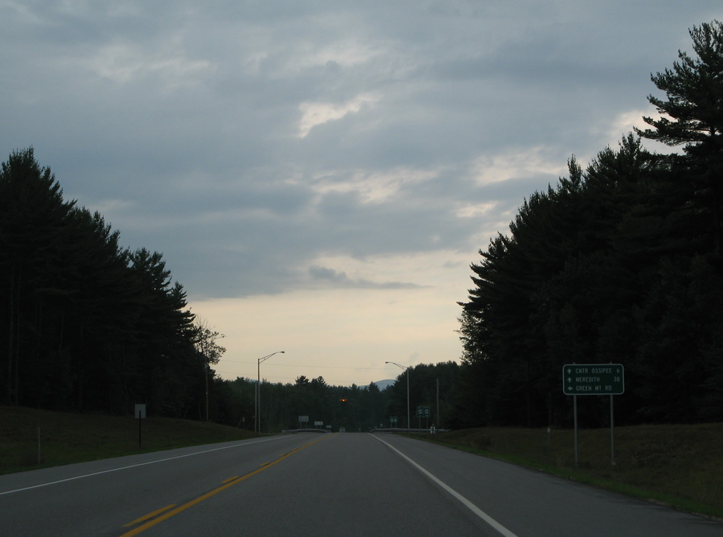
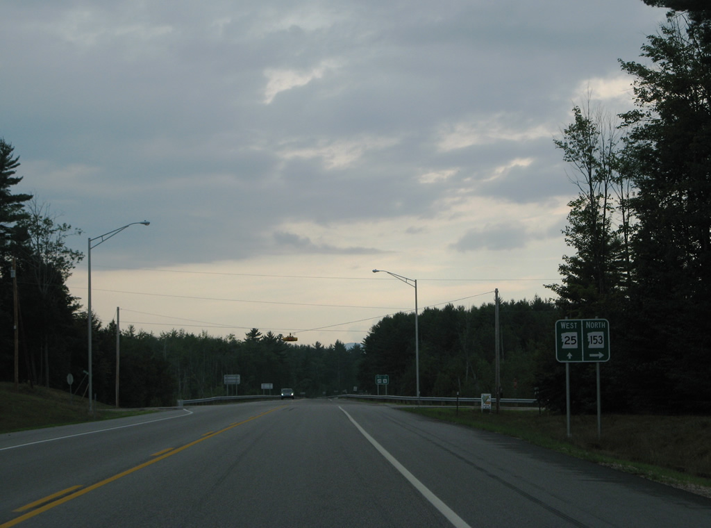
| NH 25 ventures west from NH 153 (Eaton Road) six miles to Center Ossipee and 38 miles to the merge with U.S. 3 at Meredith. 07/29/07 |
|
| Green Mountain Road ties into the split of NH 25 and 153 from the south. The road encircles Green Mountain southward toward Pine River. 07/29/07 |
Page Updated 02-19-2015.