NM 165 replaced the southern extent of NM 44 between NM 536 at the La Madera Canyon Overlook in the Sandia Mountains and I-25 and U.S. 550 at the town of Bernalillo. The state road traverses a circuitous route north from the Sandia Mountains, with several switchbacks and horse shoe curves by Capulin Peak, Capulin Canyon, Palomas Peak and Palo Duroso Canyon. NM 165 drops from 8,800 feet in elevation to 6,200 feet above sea level by the time it vacates Cibola National Forest. The highway turns west for the remaining eight miles through unincorporated Placitas to a SPUI with Interstate 25.
|
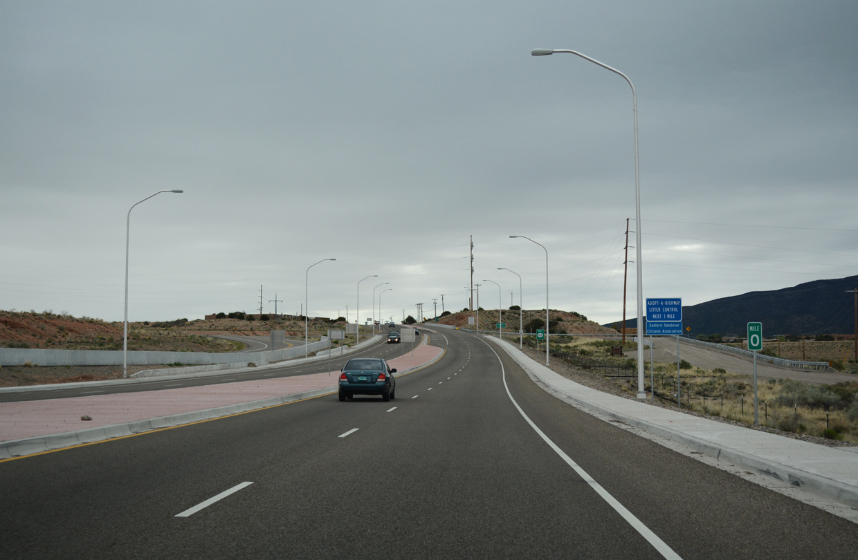
| Milepost zero for NM 165 east coincides with milepost zero for U.S. 550 south. 04/28/17 |
|
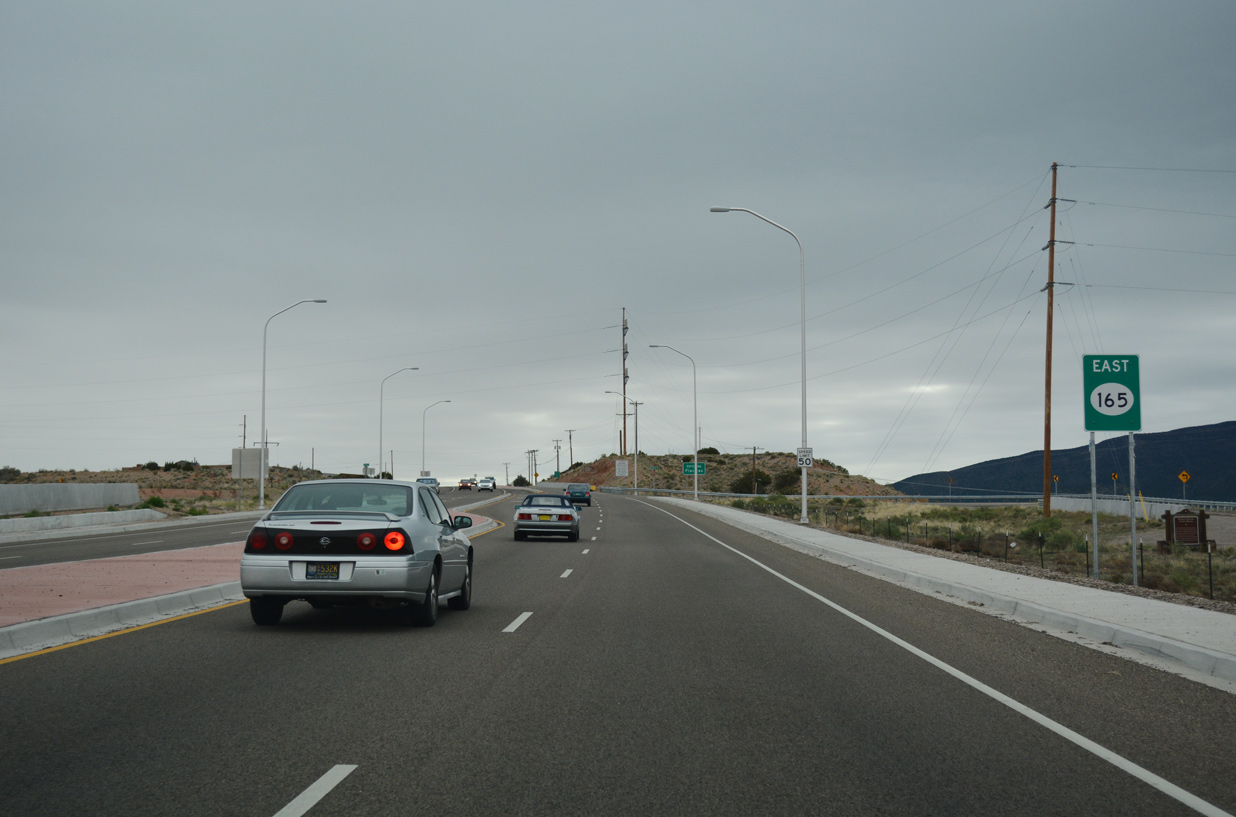
| State Road 165 narrows to two lanes beyond the SPUI with I-25 and U.S. 550. The first reassurance marker precedes the east freeway Frontage Road. 04/28/17 |
|
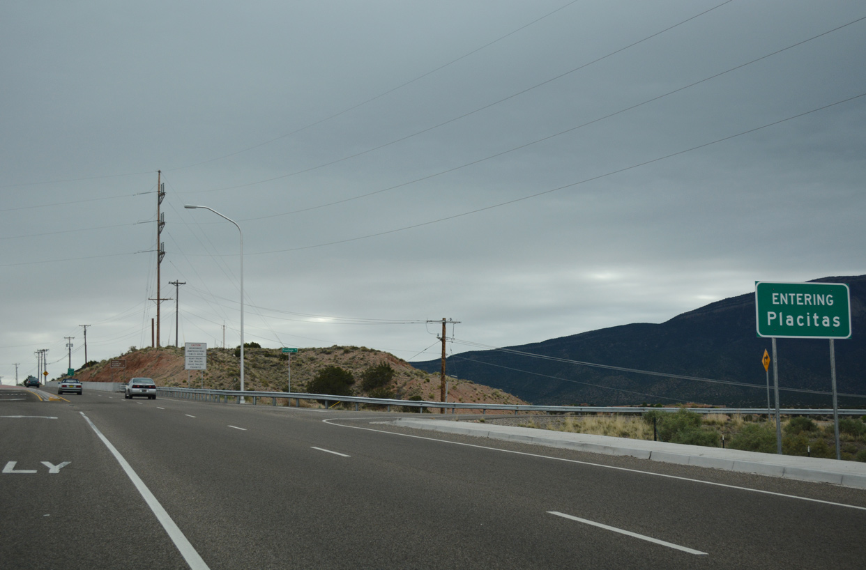
| The ensuing stretch along NM 165 east runs through the unincorporated community of Placitas. 04/28/17 |
|
| NM 165 west lowers 500 feet in elevation from mile marker three to the SPUI with Interstate 25 and U.S. 550 north at the town of Bernalillo. 04/28/17 |
|
| Frontage Roads for I-25 tie into NM 165 along the east side of the exchange with the freeway. I-25 comprises a commuter freeway south into Albuquerque and north to Santa Fe. 04/28/17 |
|
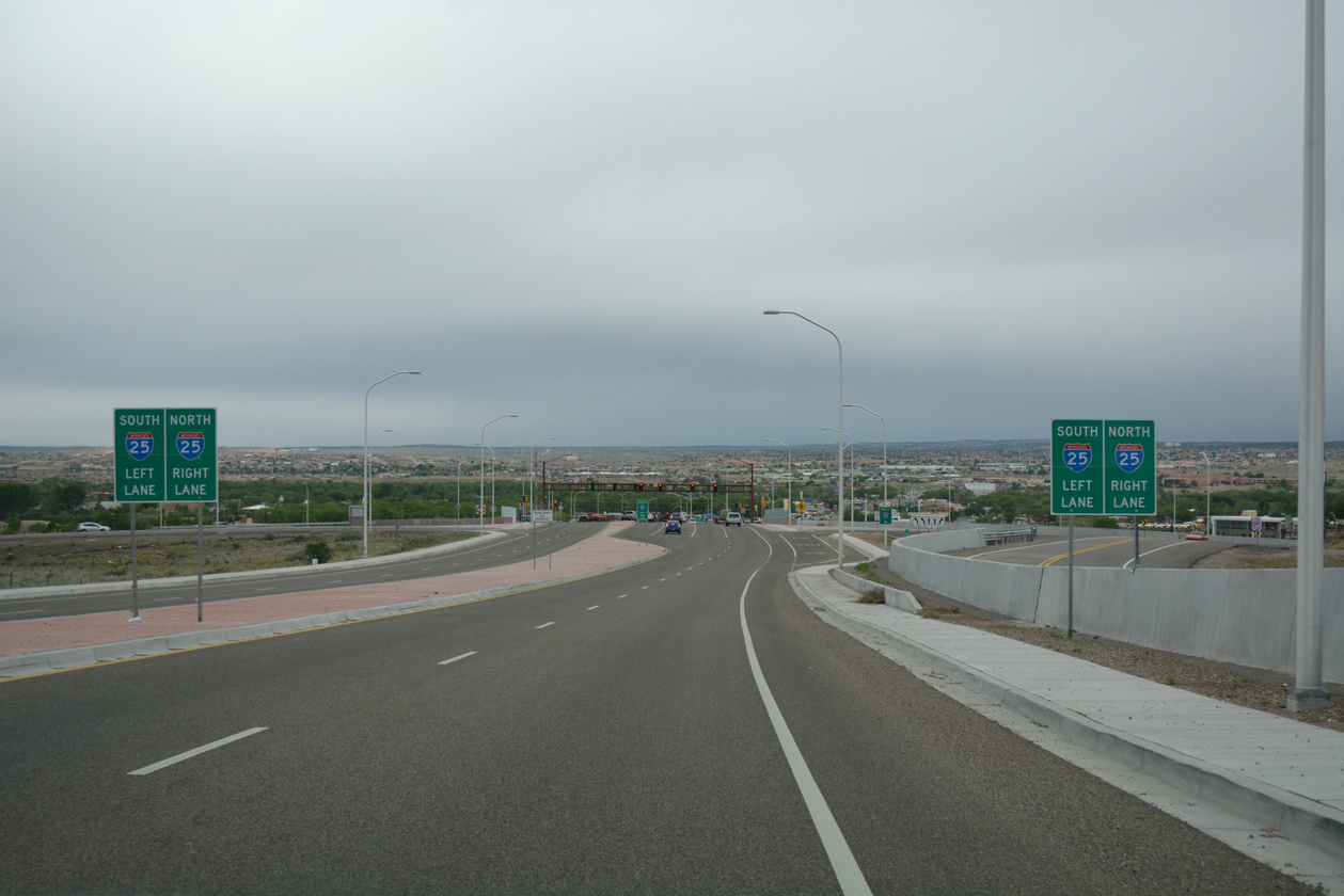
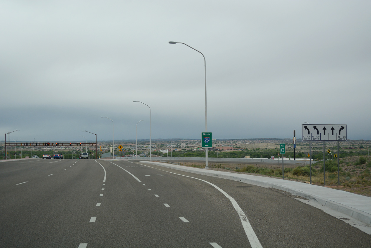
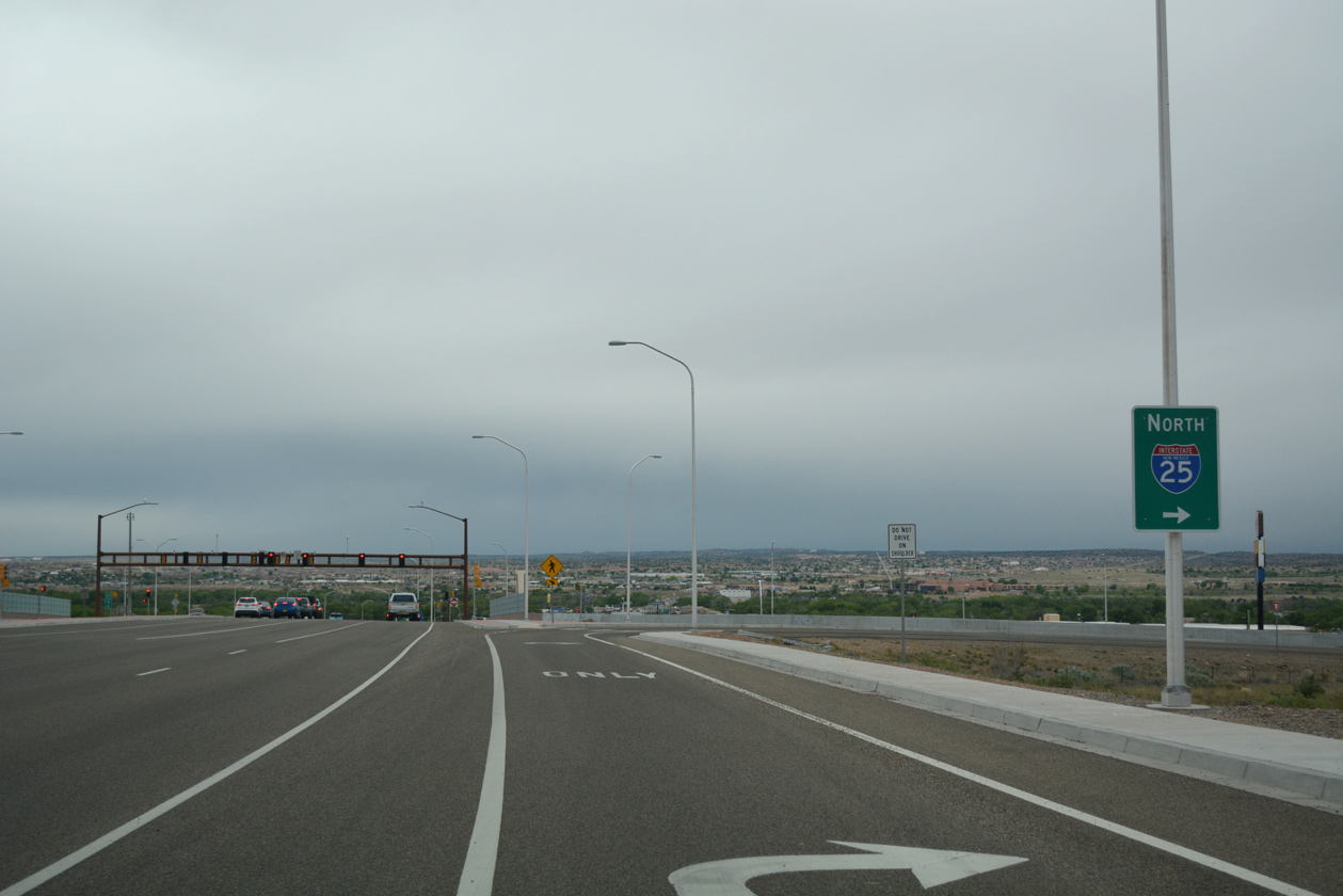
| Mile marker zero for NM 165 stands at the northbound on-ramp for Interstate 25 to Santa Fe, Las Vegas and Raton. 04/28/17 |
|
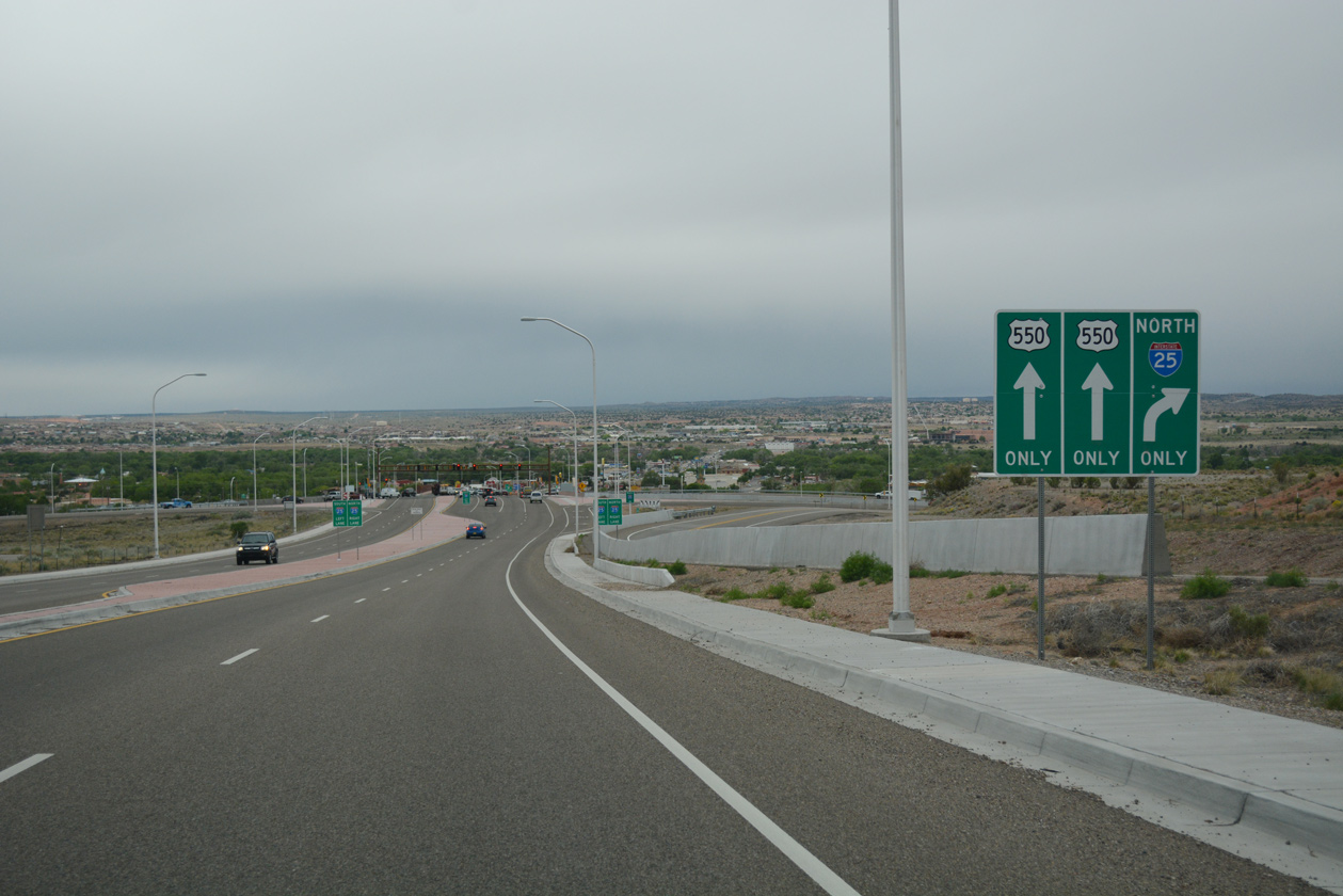
| The SPUI with I-25 and U.S. 550 was constructed in 2013-14. U.S. 550 angles northwest along an arterial route to Rio Rancho. 04/28/17 |
Page Updated 06-13-2019.