PA 60 runs 9.4 miles east from the exchange joining U.S. 22/30 (William Penn Highway) with Interstate 376 in Robinson township to U.S. 19 and PA 51 by the West End Bridge in Pittsburgh. Connecting Gayly with Moon Run, the state route follows Steubenville Pike across Robinson township to the bridge spanning Cartiers Creek into the borough of Crafton. PA 60 navigates along a convoluted route in Crafton, taking Steuben Street east and Noble Avenue and Dismore Avenue south to Crafton Boulevard. Crafton Boulevard loops the route back northward into the city of Pittsburgh beyond Lawson Avenue.
Continuing into the Steel City, PA 60 shifts from Crafton Boulevard onto Noblestown Road east between the Crafton Heights and Westwood neighborhoods. Noblestown Road becomes Main Street leading into the Elliot and West End Village neighborhoods. Crossing Sawmill Run, PA 60 partitions with eastbound concluding along Main Street east at PA 51 and westbound beginning from PA 51 via Cross Street.
Prior to 2009, PA 60 extended north to Pittsburgh International Airport (PIT), Aliquippa and along the tolled Beaver Valley Expressway to New Castle. The state route continued to Interstate 80 by West Middlesex and U.S. 62 Business in Sharon. Legislative action upgraded the limited access section of PA 60 north fro Robinson Township to I-80 in Mercer County as a northward extension of Interstate 376. The PA 60 spur from I-80/376 north into Sharon was renumbered as PA 760. PA 60 Business to PIT Airport became Business Loop I-376.
|
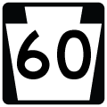
| An end shield for PA 60 precedes the parclo interchange joining Steubenville Pike west with I-376 (Penn-Lincoln Parkway) and U.S. 22/30. 06/13/10 |
|
| Interstate 376 replaced PA 60 along Airport Parkway north to Pittsburgh International Airport (PIT). 06/14/10 |
|
| Replaced with a signalized left turn, a loop ramp formerly joined PA 60 north with I-376/U.S. 22-30 (Penn-Lincoln Parkway) east to Carnegie, Green Tree and Pittsburgh. 06/13/10 |
|
| PA 60 stems east from the parclo interchange joining U.S. 22/30 with I-376 east along Steubenville Pike. 06/14/10 |
|
| A begin shield for PA 60 stands where a loop ramp formerly joined U.S. 22/30 east with Airport Parkway (I-376) north. 06/14/10 |
|
| Still signed as southbound, PA 60 (Steubenville Pike) advances east from I-376 along a commercialized stretch toward I-79 and the borough of Crafton. 06/14/10 |
|
| Campbells Run Road connects I-376/U.S. 22-30 west with PA 60 (Steubenville Pike) east to Gayly. 06/13/10 |
|
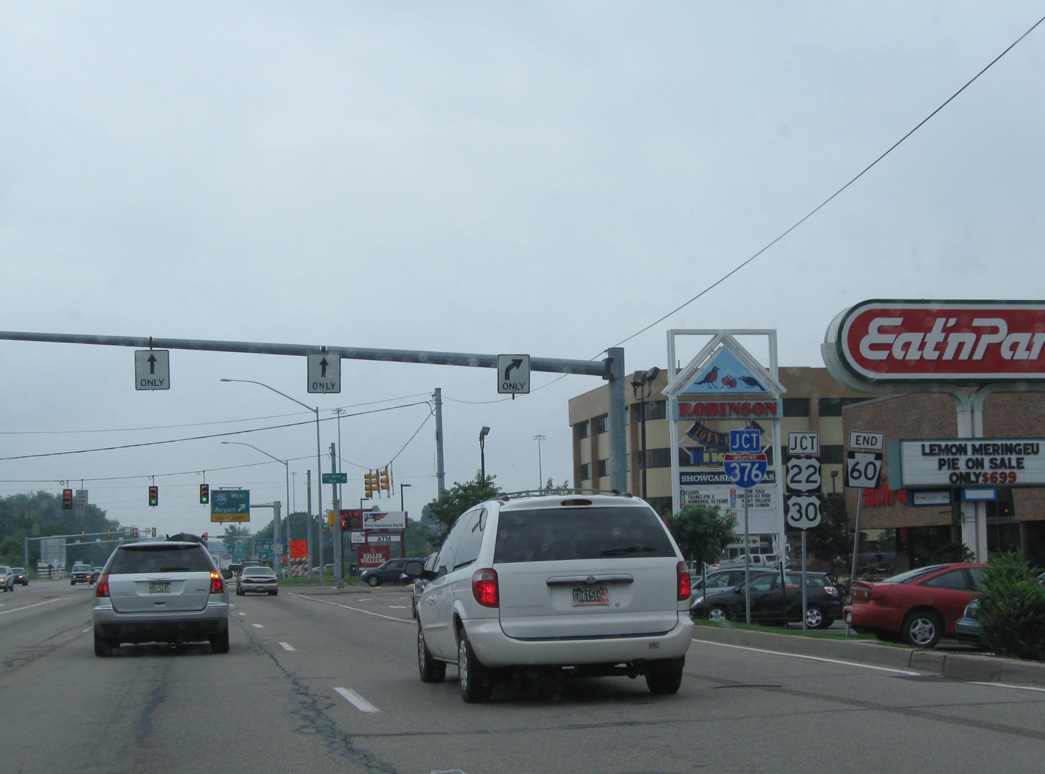
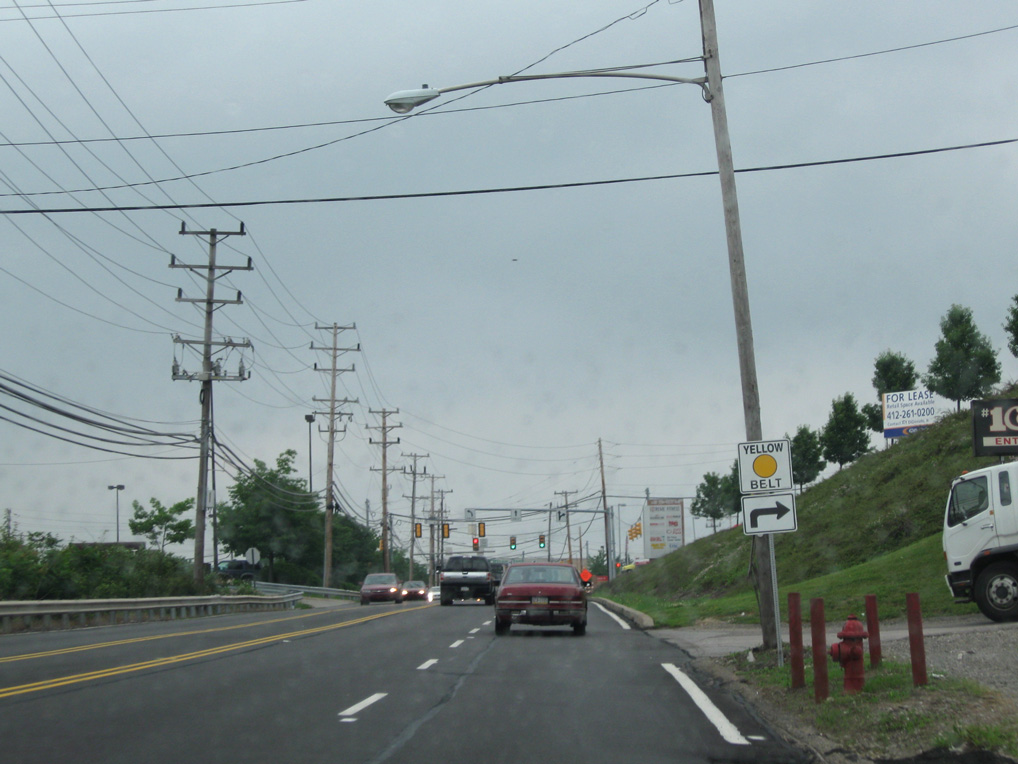
| PA 60 is part of the Yellow Belt route to the east of Campbells Run Road. The state route ends just to the west at I-376/U.S. 22-30. 06/13/10 |
Photo Credits:06/13/10, 06/14/10 by AARoads
Connect with:
Interstate 79
Interstate 376
U.S. 19
U.S. 22
U.S. 30
Page Updated 01-05-2021.