
S.C. 170 stretches 35.35 miles northeast from the Houilhan Bridge spanning the Savannah River near Hardeeville to U.S. 21 Business (Boundary Street) in Beaufort.
S.C. 170 follows the former alignment of U.S. 17 along Alligator Alley northeast 3.33 miles from the Georgia state line across Savannah Natiional Wildlife Refuge to U.S. 17. The two routes overlap 2.20 miles north along Speedway Boulevard to Freedom Parkway and the community of Limehouse. S.C. 170 branches east and parallels U.S. 17 before turning northeast across wetlands to S.C. 315 (Okatie Highway) near the New River.
S.C. 46 combines with S.C. 170 (Okatie Highway) 2.37 miles east into Beaufort County at Pritchardville. The two separate at a roundabout with New Riverside Road. S.C. 46 continues east along May River Road to Bluffton while S.C. 170 (Okatie Highway) resumes a northward course along a four lane, divided arterial to Okatie. S.C. 170 converges with U.S. 278 at a parclo interchange.
Passing east of the Sun City golf course community, S.C. 170 (Okatie Highway) straddles the Jasper / Beaufort County line north along the former route of U.S. 278 to S.C. 462 (LowCountry Drive). Turning east, the four lane highway continues toward Manigault Neck along Chechessee Creek.
S.C. 170 spans the Chechessee River east from Bellinger Neck onto Lemon Island and then the Broad River over the Edward Burton Rodgers Bridge onto Robert Smalls Parkway at Burton. Becoming a commercial arterial northeast through Beaufort, S.C. 170 angles northeast to meet U.S. 21 (Parris Island Gateway) and U.S. 21 Business (Boundary Street) across from Polk Street.
 East
East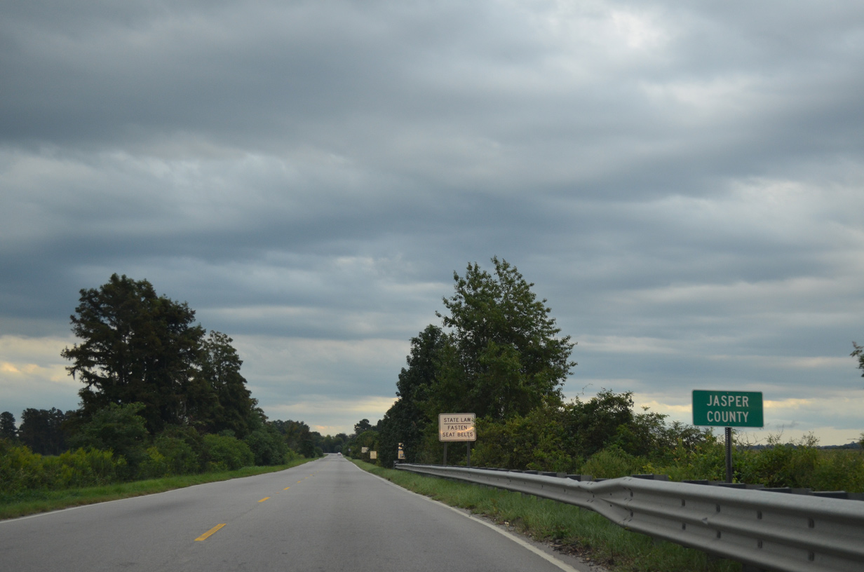
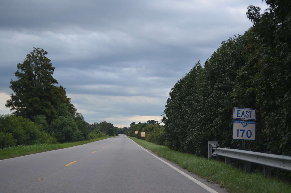
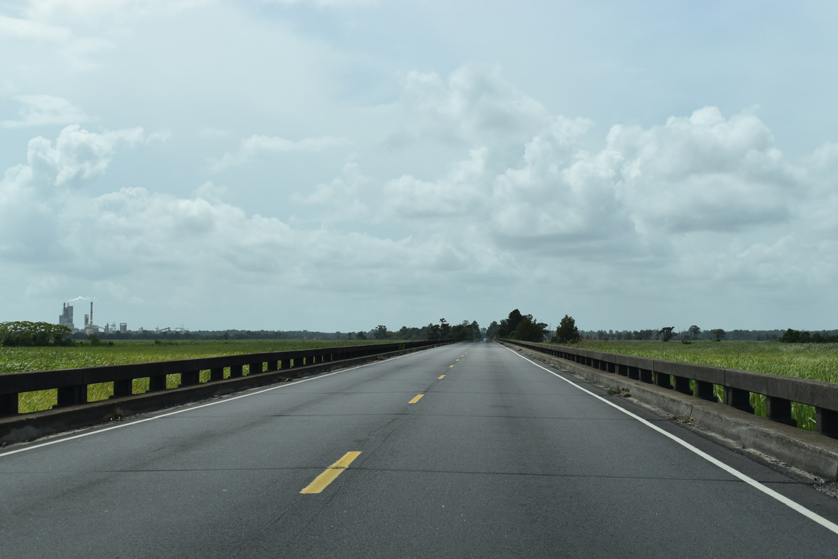
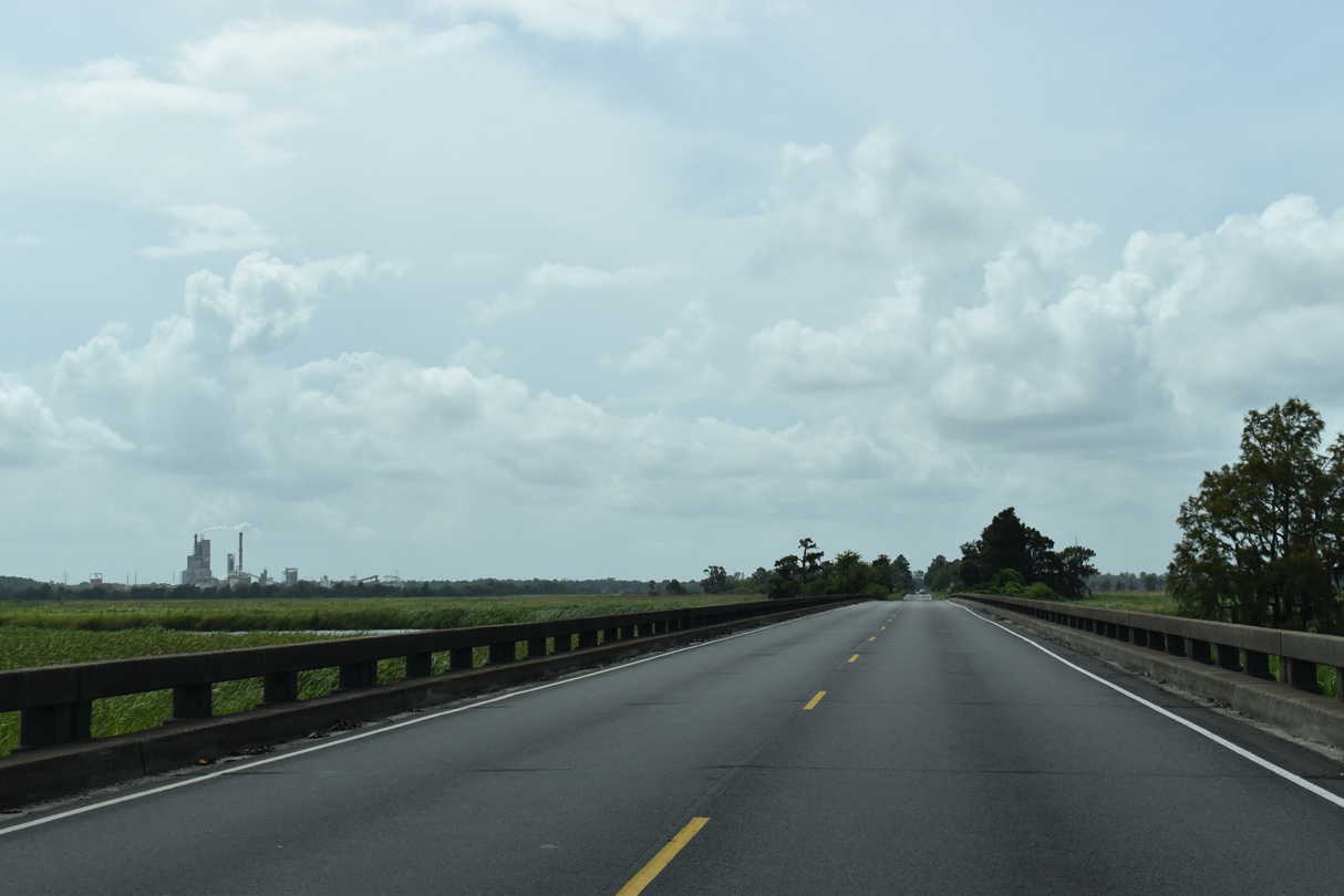
S.C. 170 extends east along a causeway from Georgia State Route 25 and the Little Back River into Jasper County.
09/22/14
09/22/14
09/22/14
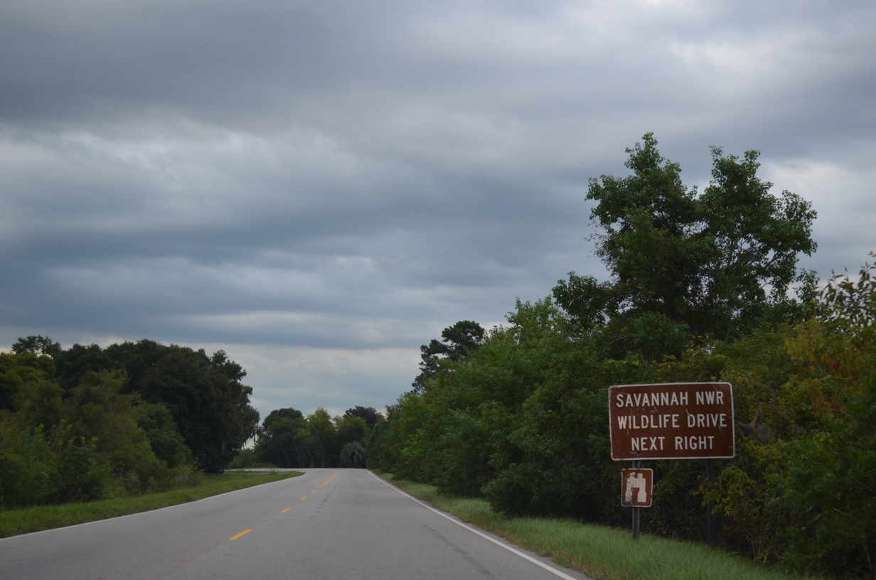
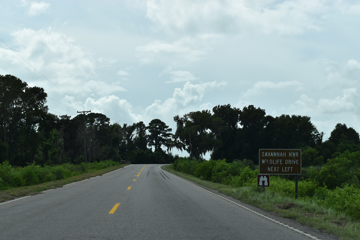
S.C. 170 (Alligator Alley) traverses Savannah National Widlife Refuge (NWR) east.
09/22/14
09/22/14
S.C. 170 (Alligator Alley) east converges with U.S. 17 (Speedway Boulevard) at a wye interchange.
09/22/14
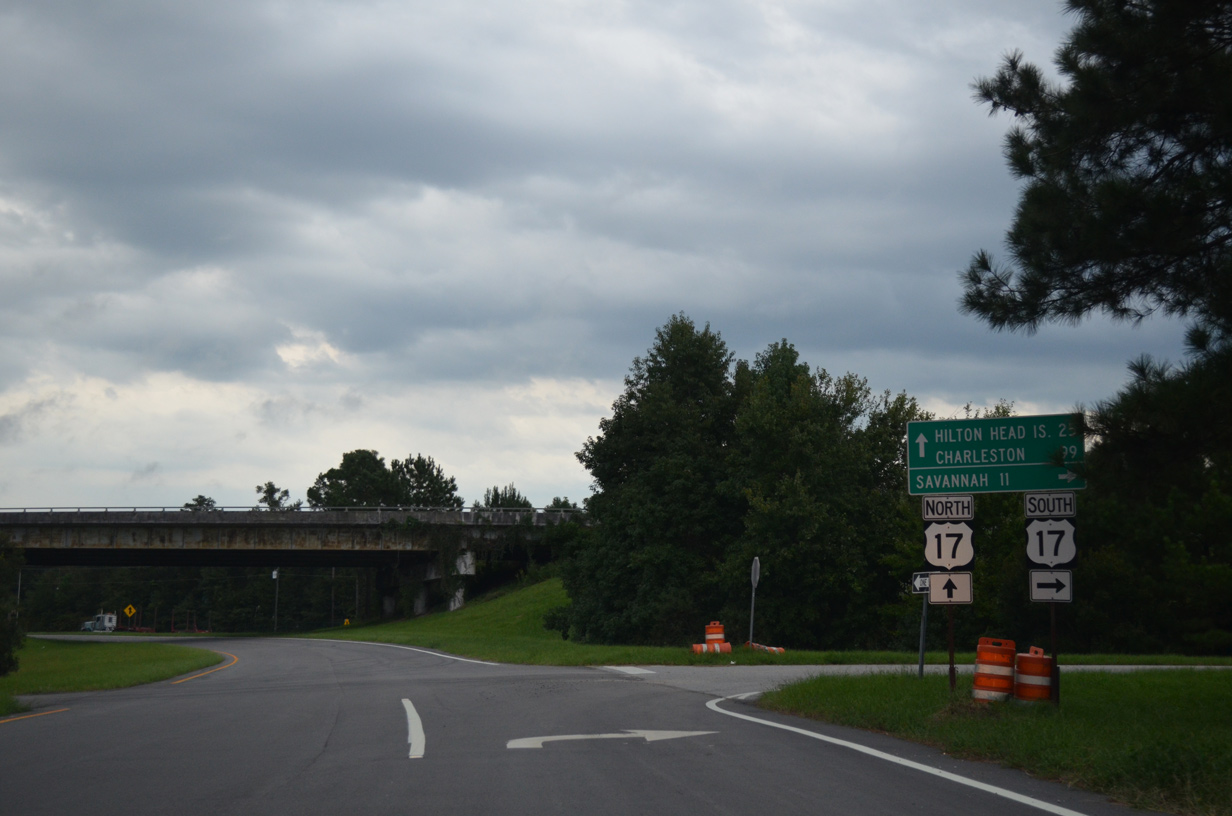
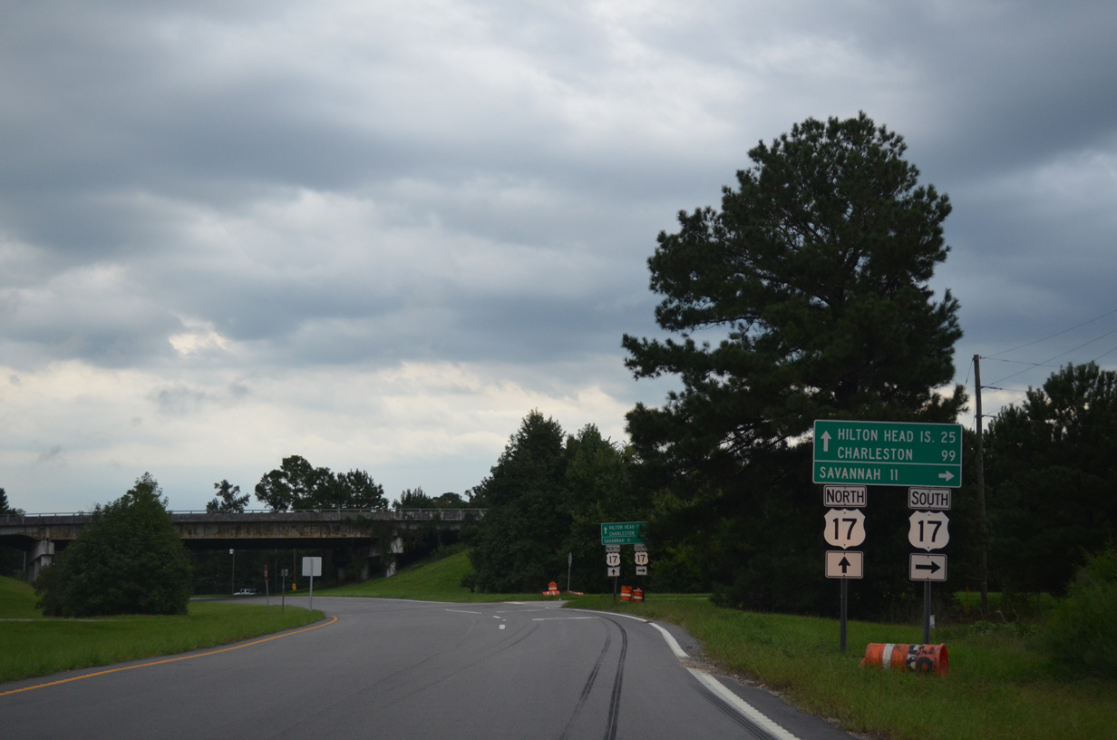
U.S. 17 travels 8.5 miles south to SR 25CO (Oglethorpe Avenue) east to Historic Downtown Savannah.
09/22/14
West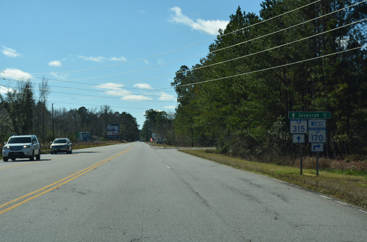
S.C. 170 turns west onto Freedom Parkway at the north end of S.C. 315. Okatie Highway extends 6.07 miles south along S.C. 315 to U.S. 17 (Speedway Boulevard) north of Savannah, Georgia.
01/05/19
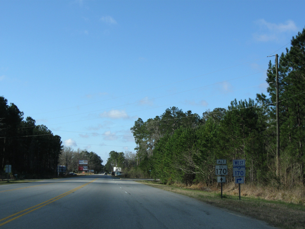
S.C. 315 (Okatie Highway) south from S.C. 170 (Freedom Parkway) to Levy and U.S. 17 was previously designated as S.C. 170 ALT.
03/15/10
 South West
S.C. 170 combines with U.S. 17 (Speedway Boulevard) south 1.50 miles from Limehouse to Alligator Alley.
05/26/19
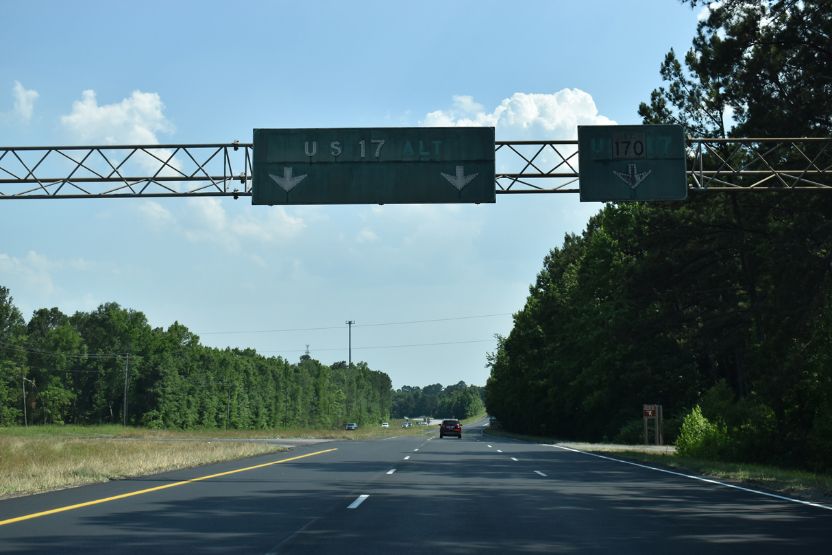
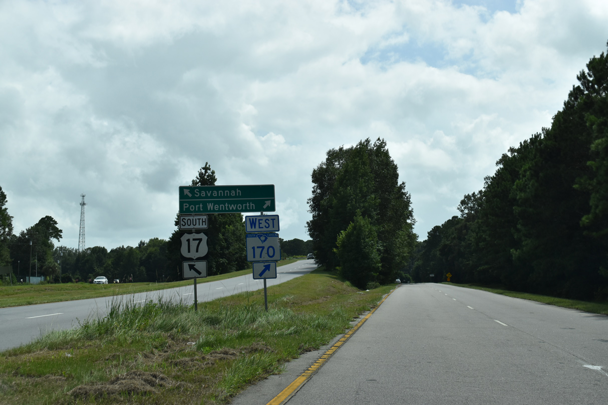
Button copy signs precede the separation of S.C. 170 west from U.S. 17 south. Prior to 1994, S.C. 170 (Alligator Alley) west was part of U.S. 17 to Port Wentworth and Garden City, Georgia and U.S. 17 south to the Talmadge Bridge was U.S. 17 ALT.
09/23/21
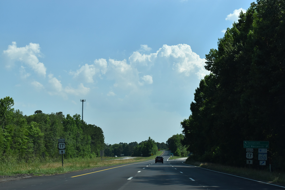
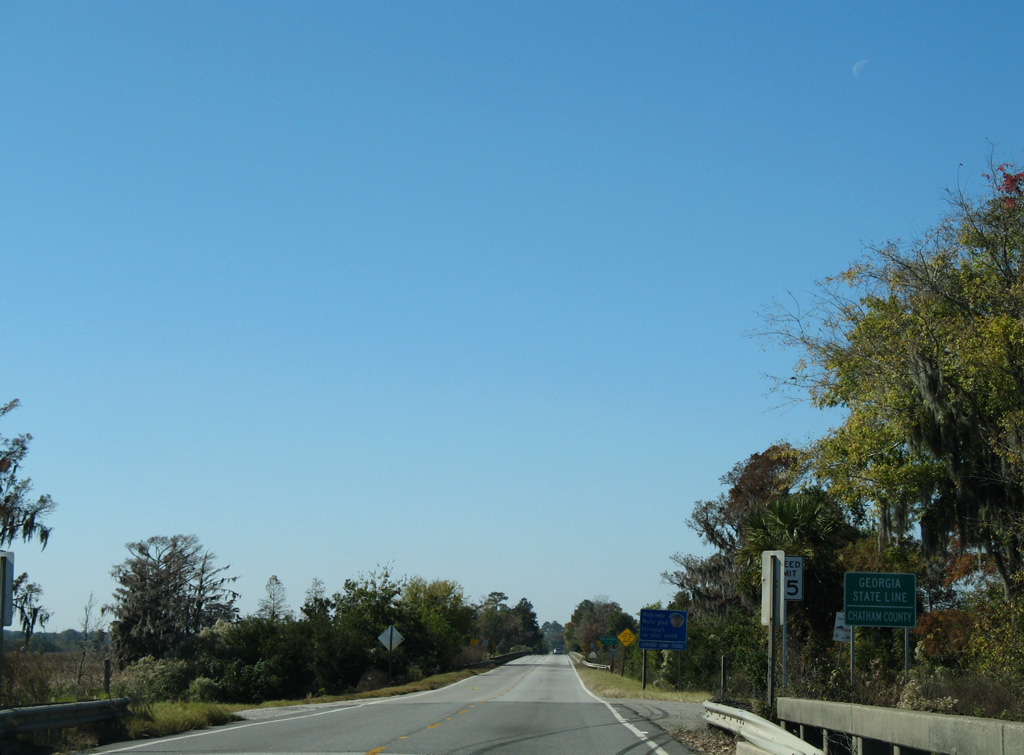
U.S. 17 (Speedway Boulevard) arcs 6.61 miles southward from S.C. 170 (Alligator Alley) to the Georgia state line along the Little Back River Bridge.
05/26/19
S.C. 170 branches west from U.S. 17 (Speedway Boulevard) at a wye interchange.
08/28/21
West
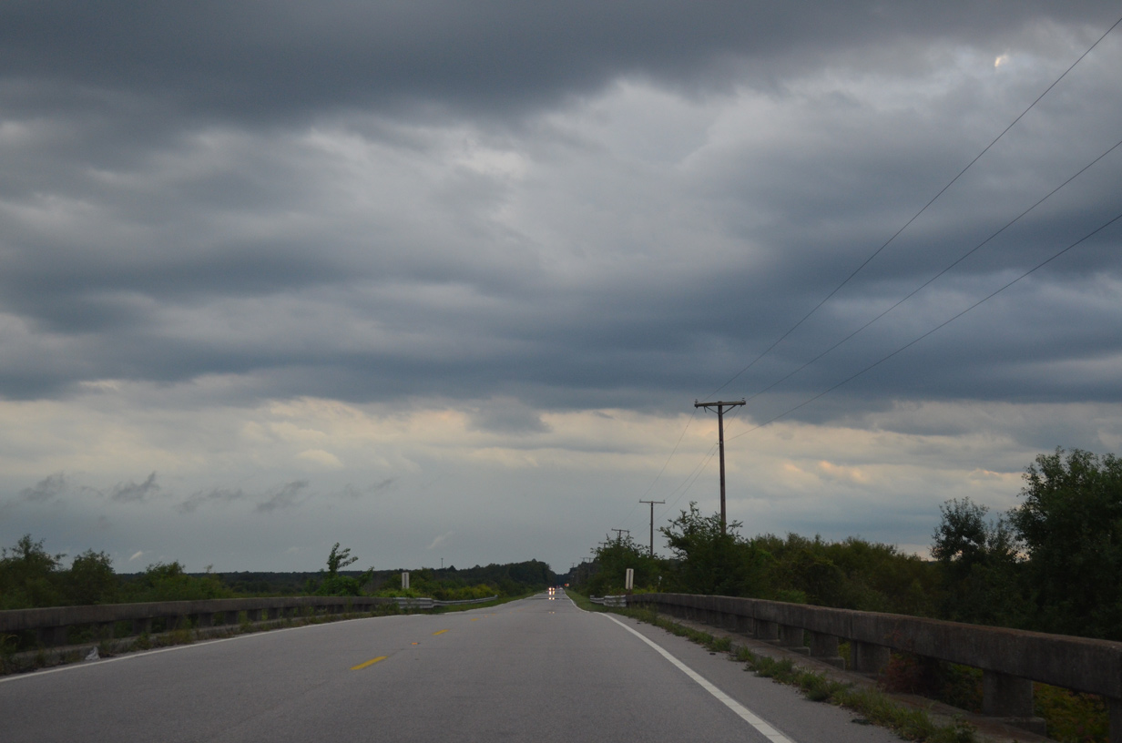
S.C. 170 (Alligator Alley) bee lines southwest across Savannah National Wildlife Refuge.
11/13/06
08/28/21
08/28/21
08/28/21
08/28/21
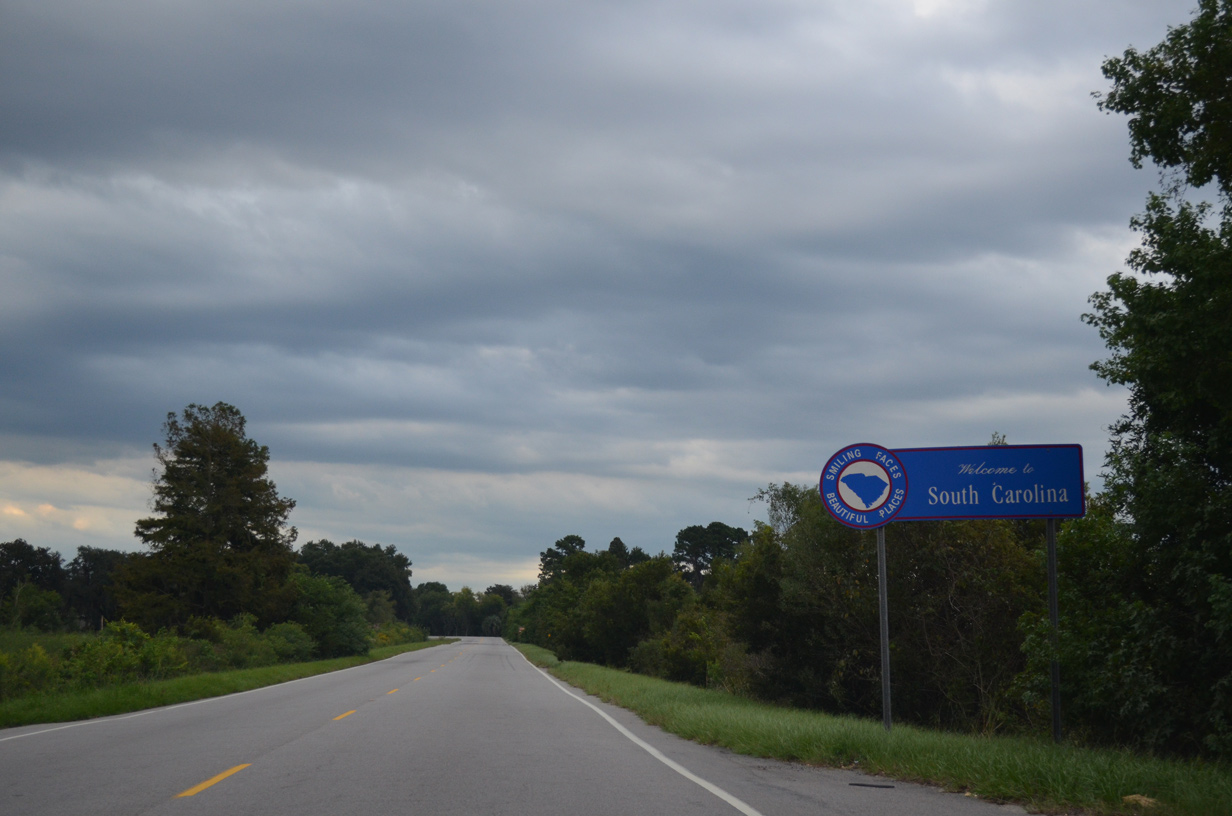
S.C. 170 west becomes Georgia State Route 25 into Port Wentworth and Chatham County.
11/13/06
Photo Credits:
11/13/06, 03/15/10, 09/22/14, 01/05/19, 05/26/19, 08/28/21, 09/23/21 by AARoads
Connect with:
U.S. 17
U.S. 21
U.S. 278
Highway 46
Highway 315
Highway 462
State Route 25
Page Updated 12-05-2022.