|
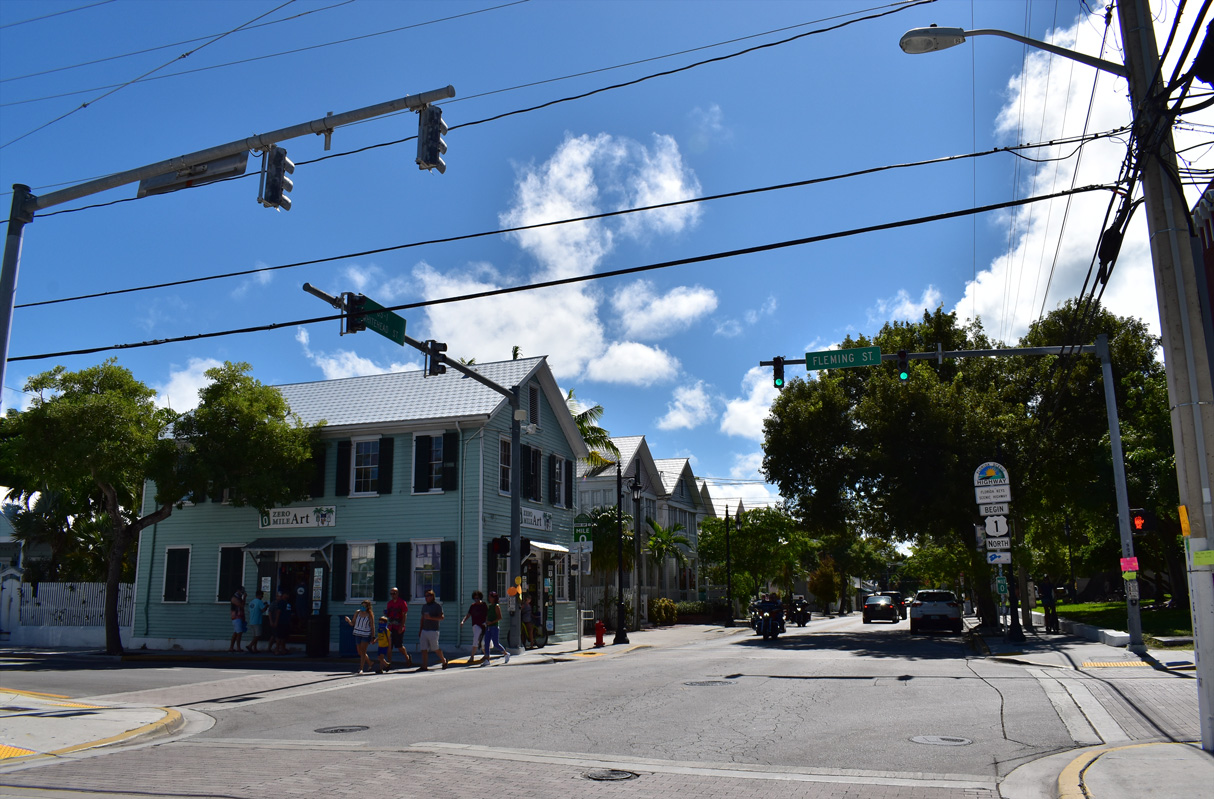
| Whitehead Street intersects the northbound beginning of U.S. 1 from Front Street and the tourist district of Downtown. Fleming Street travels between the Harry S. Truman Annex of Key West Naval Air Station and White Street through southern reaches of Downtown Key West. 10/17/20 |
|
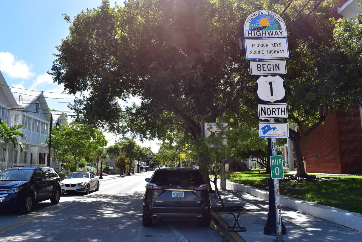
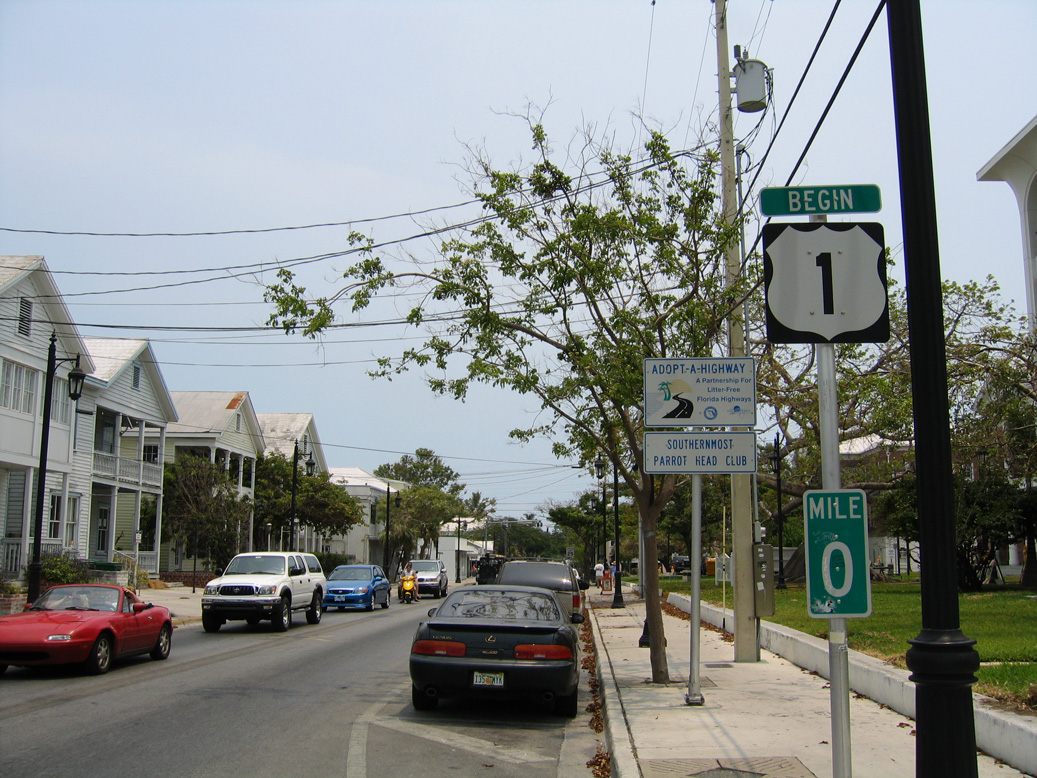
| U.S. 1 begins in Key West, the most southerly city in the United States. Mileposts increase from this point northeast through the keys all the way to the mainland. 10/17/20 |
|
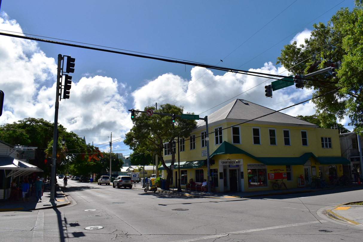
| The begin shield for U.S. 1 stands at the intersection of Whitehead Street south with Fleming Street adjacent to the Monroe County Courthouse. 05/07/06 |
|
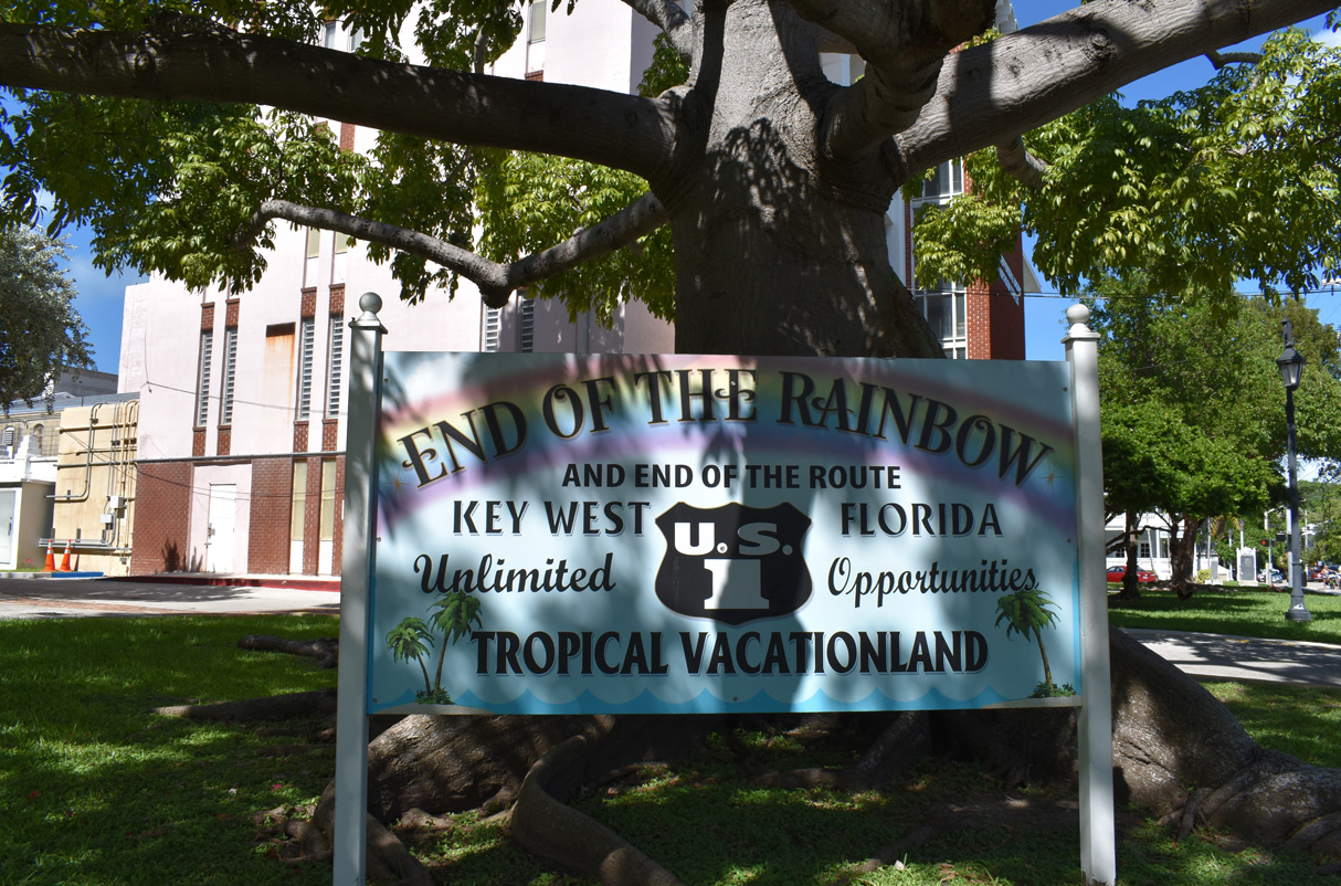
| U.S. 1 is known as the Overseas Highway throughout the Florida Keys primarily due to the number of bridges along the route between Key West and South Florida. A decorative end sign for U.S. 1 stands near the begin shield assembly. 10/17/20 |
|
| U.S. 1 (Whitehead Street) southbound at Southard Street. Southard Street heads west to the Harry S. Truman Annex and Fort Zachary Taylor Historic State Park and east to the Trumbo Point Annex of Key West Naval Air Station at White Street. 10/17/20 |
|
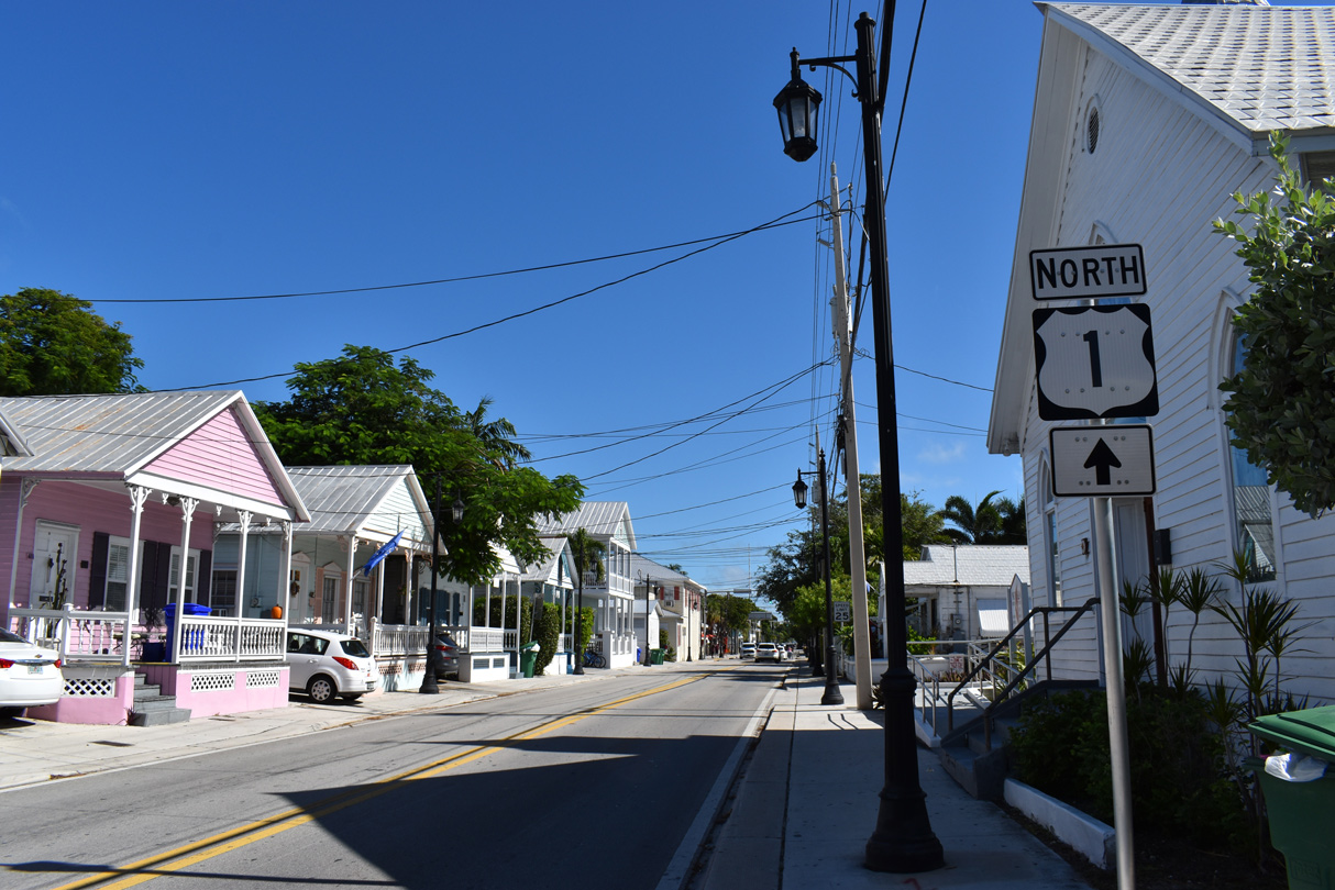
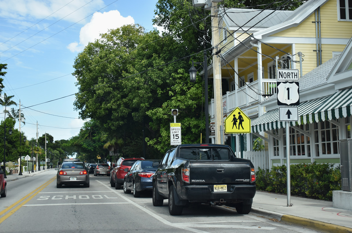
| A trailblazer for U.S. 1 north appears along Whitehead Street just south of Angela Street. U.S. 1 lines Whitehead Street another three blocks to Truman Avenue. 05/07/06 |
|
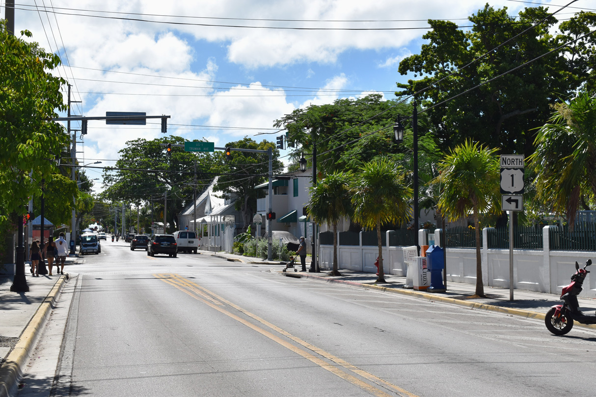
| U.S. 1 (Whitehead Street) north turns east onto Truman Avenue. Whitehead Street south continues another four blocks to the Southernmost Point Monument at South Street. The monument, which resembles an ocean buoy, lies adjacent to the water and the Harry S. Truman Annex. 10/17/20 |
|
| Truman Avenue originates three blocks west of Whitehead Street at Fort Street and the Harry S. Truman Annex at Fort Street. U.S. 1 follows Truman Avenue east onto Roosevelt Boulevard at Garrison Bight. 10/17/20 |
|
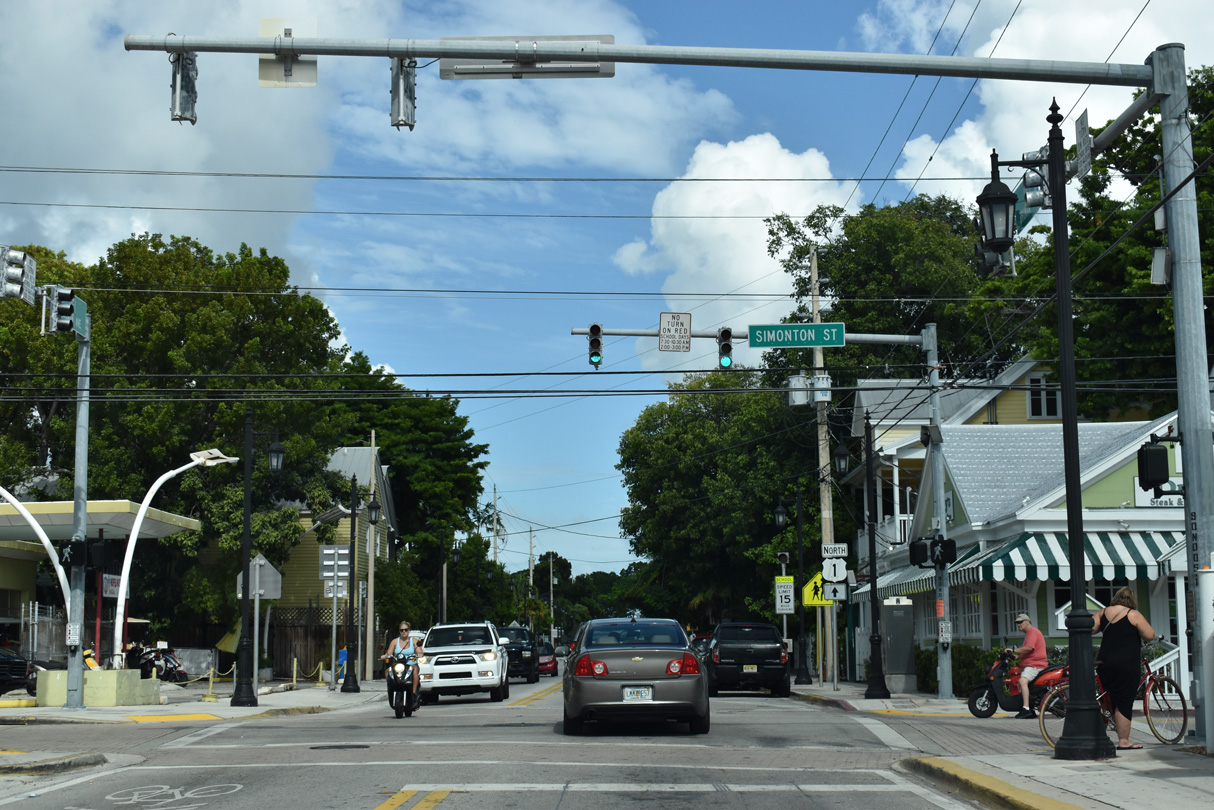
| Truman Avenue east at Simonton Street. 10/17/20 |
|
| The third trailblazer for U.S. 1 northbound appears east of Simonton Street. 10/17/20 |
|
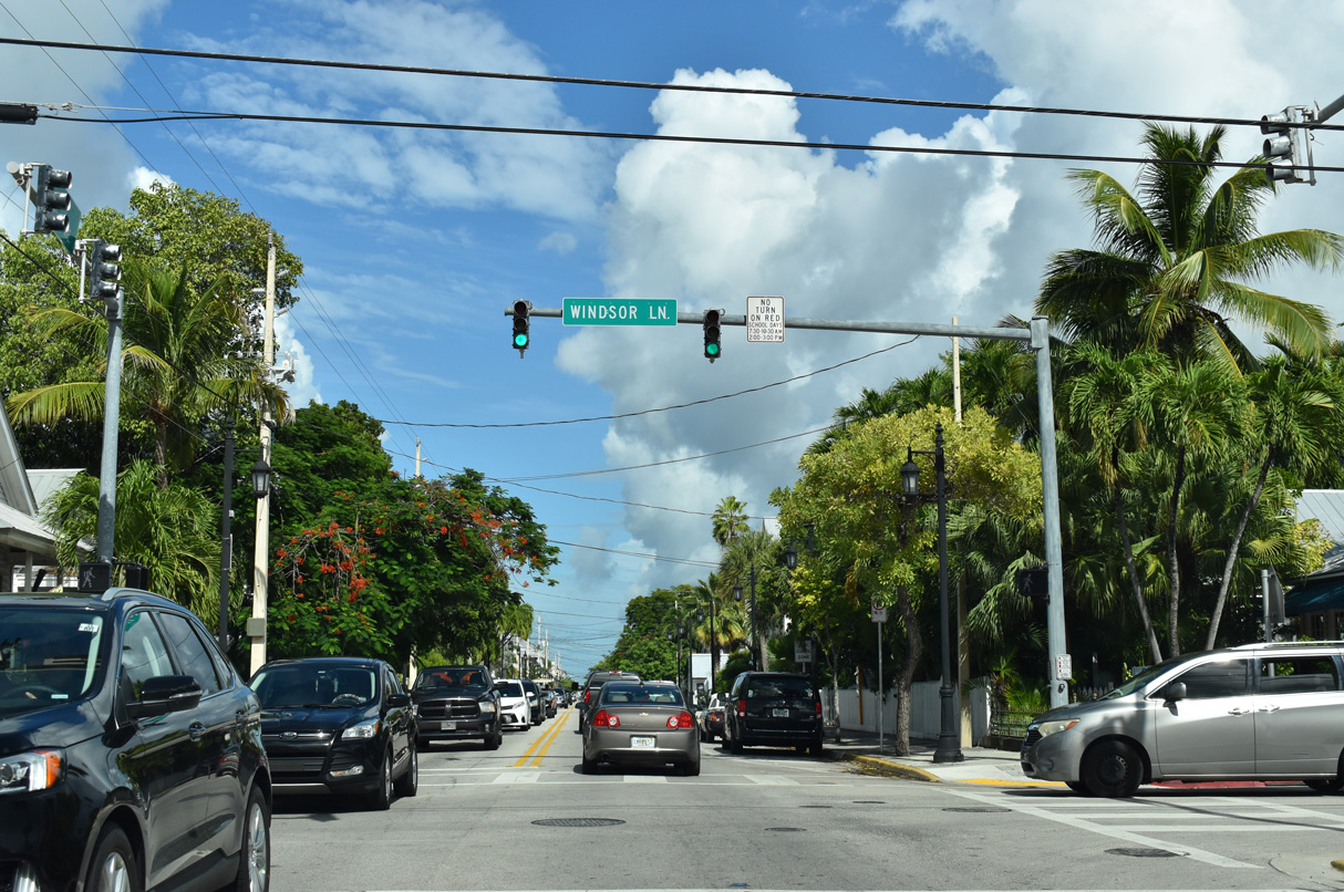
| U.S. 1 (Truman Avenue) intersects Windsor Lane one block south of Key West Cemetery. 10/17/20 |
|
| U.S. 1 trailblazer posted ahead of Frances Street north. 10/17/20 |
|
| Milepost 1 for U.S. 1 north stands along Truman Avenue at Varela Street. 10/17/20 |
|
| White Street leads south to Harvey Rest Beach Park and the Edward B. Knight Pier. 10/17/20 |
|
| Reassurance marker for U.S. 1 north posted after White Street. 10/17/20 |
|
| Truman Avenue becomes Roosevelt Boulevard east at the signalized intersection with Eisenhower Drive north and Jose Marti Drive south. 10/17/20 |
|
| Running east along waters of Garrison Bight, U.S. 1 expands to a multi lane arterial along Roosevelt Boulevard. 10/17/20 |
|
| Palm Avenue angles northwest to Naval Air Station Key West Trumbo Point Annex and Eaton Street. The Key West numbered street system commences eastward to 20th Street. 10/17/20 |
|
| 5th Street stems south from U.S. 1 (Roosevelt Boulevard) to Flagler Avenue and Key West High School. 10/17/20 |
|
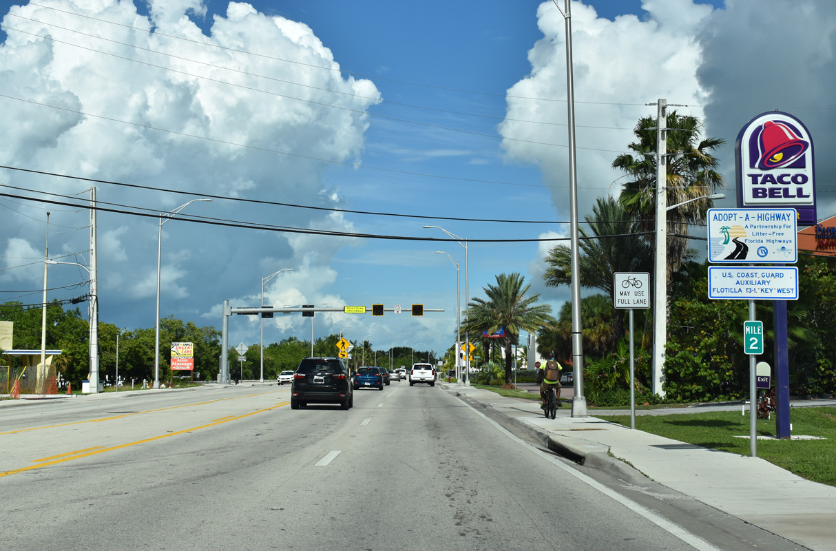
| Milepost 2 for U.S. 1 north precedes 7th Street along Roosevelt Boulevard. 10/17/20 |
|
| The first distance sign for U.S. 1 northbound stands ahead of the Salt Run Channel Bridge. The span was built in 1992. 10/17/20 |
|
| Roosevelt Boulevard proceeds east into an area of shopping centers and big box retail. 10/17/20 |
|
| Sigsbee Road extends north along a causeway to Naval Air Station Key West Dredgers Key-Sigsbee. Kennedy Drive runs south by a number of sports parks to Flagler Avenue (CR 5A). 10/17/20 |
|
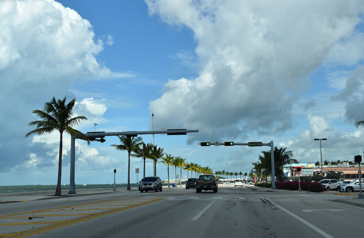
| U.S. 1 (Roosevelt Boulevard) straddles the Gulf of Mexico by Salt Pond Keys to Searstown Shopping Center and SR A1A at Overseas Highway. 10/17/20 |
|
| The reassurance marker for U.S. 1 north at Toppino Drive was removed by 2020. 05/07/06 |
|
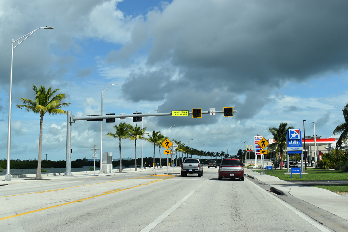
| Pedestrian signal along Roosevelt Boulevard east of 17th Street. 10/17/20 |
|
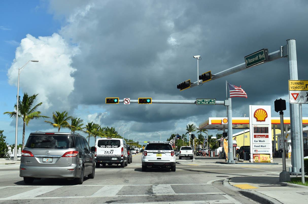
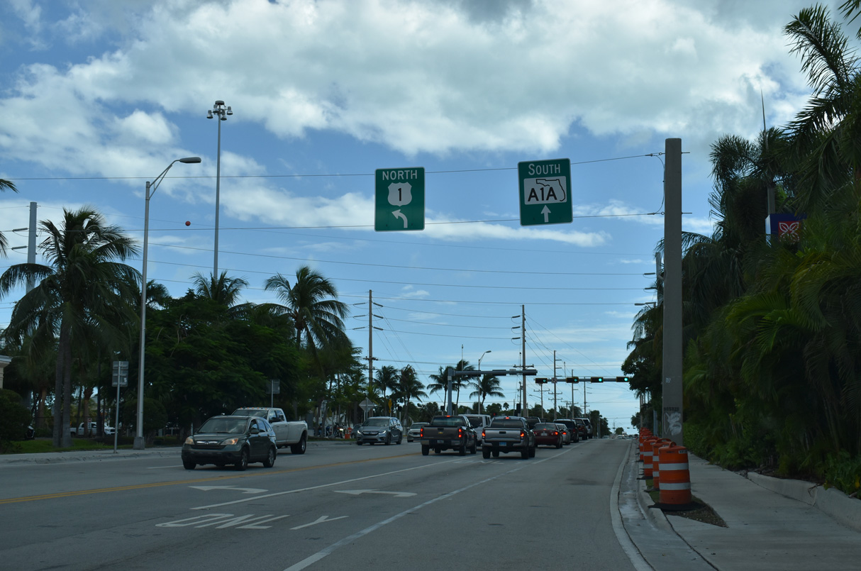
| Roosevelt Boulevard curves south to meet SR A1A at Overseas Highway. SR A1A continues Roosevelt Boulevard 2.90 miles south along Cow Key Channel and west to Key West International Airport (EYW) and Bertha Street. 10/17/20 |
|
| U.S. 1 turns east onto the Overseas Highway toward Stock Island where Roosevelt Boulevard transitions into SR A1A south. 10/17/20 |
|
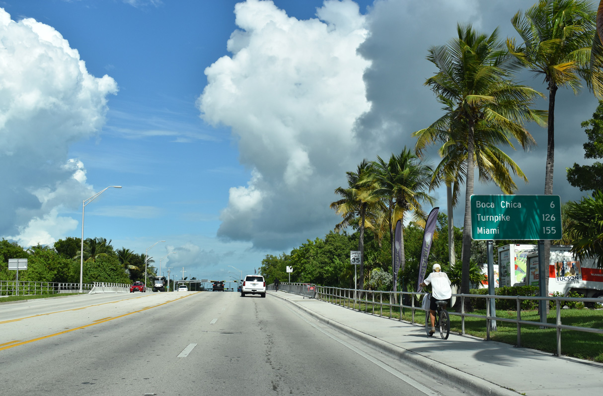
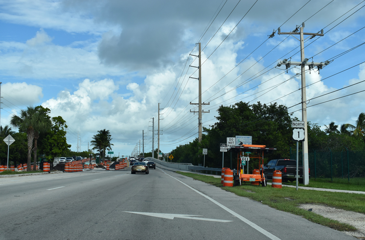
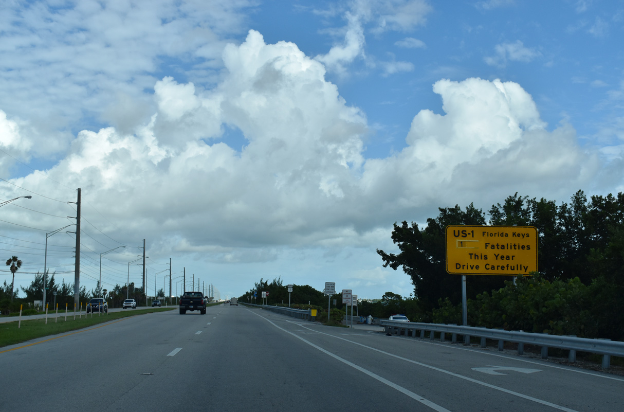
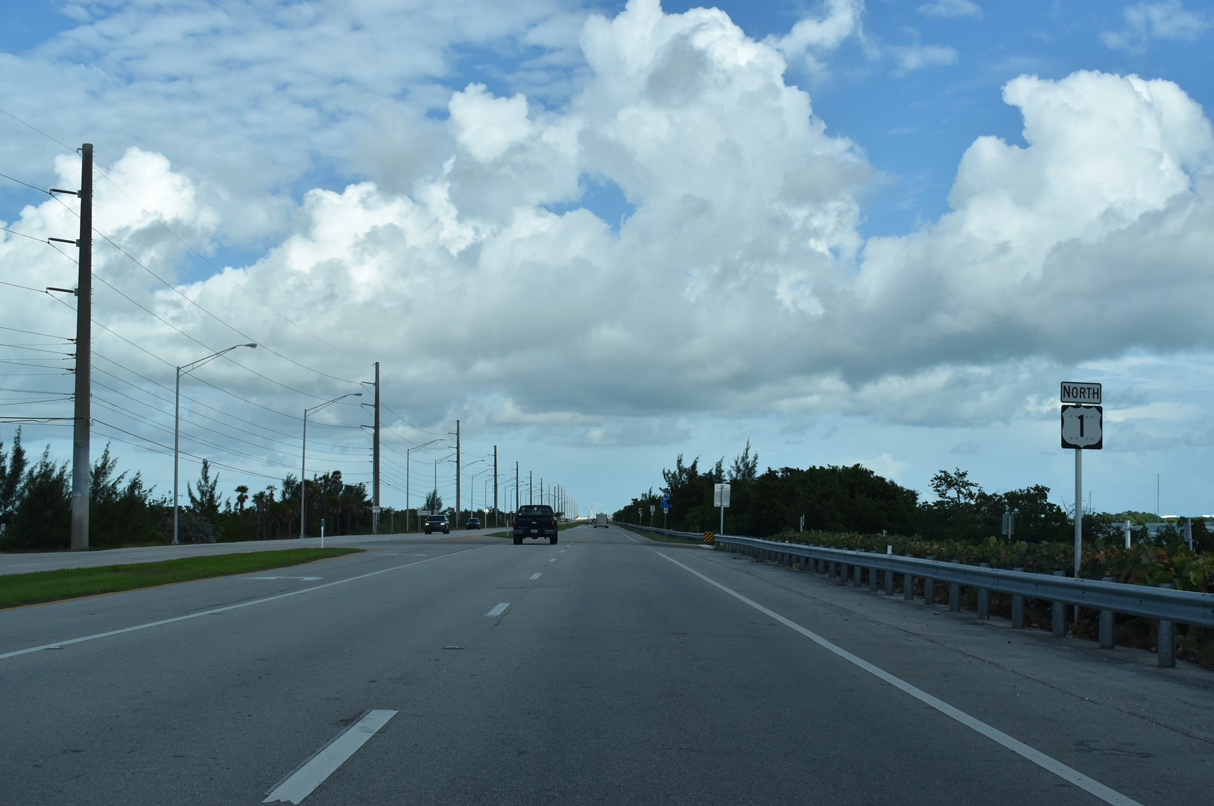
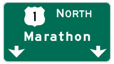
| U.S. 1 (Overseas Highway) northbound continues east along the Key West city limit to Stock Island. The city of Marathon is 45 miles away. 10/17/20 |
|
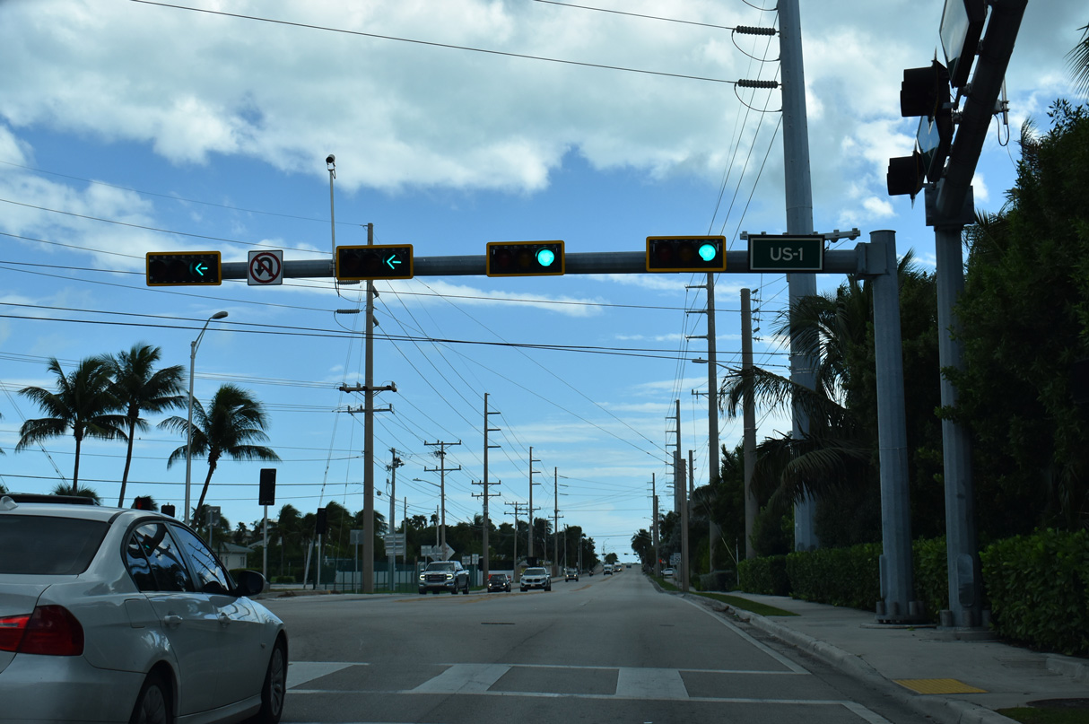
| Confirming marker posted east of SR A1A. The next branch of SR A1A along U.S. 1 north is MacArthur Causeway linking Miami with Miami Beach. 10/17/20 |
|
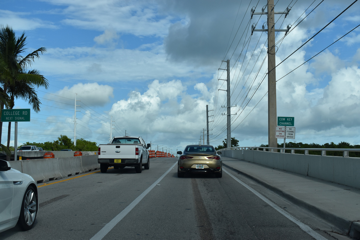
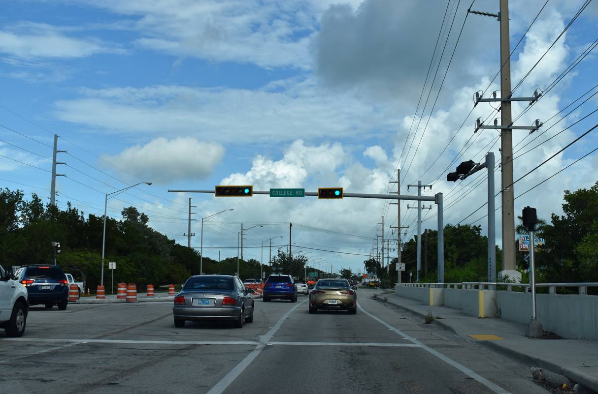
| U.S. 1 spans Cow Key Channel between SR A1A (S Roosevelt Boulevard) and the west intersection with College Road. 10/17/20 |
|
| College Road comprises a 1.77 mile long loop north from U.S. 1 (Overseas Highway) to the main campus of Florida Keys Community College. 10/17/20 |
|
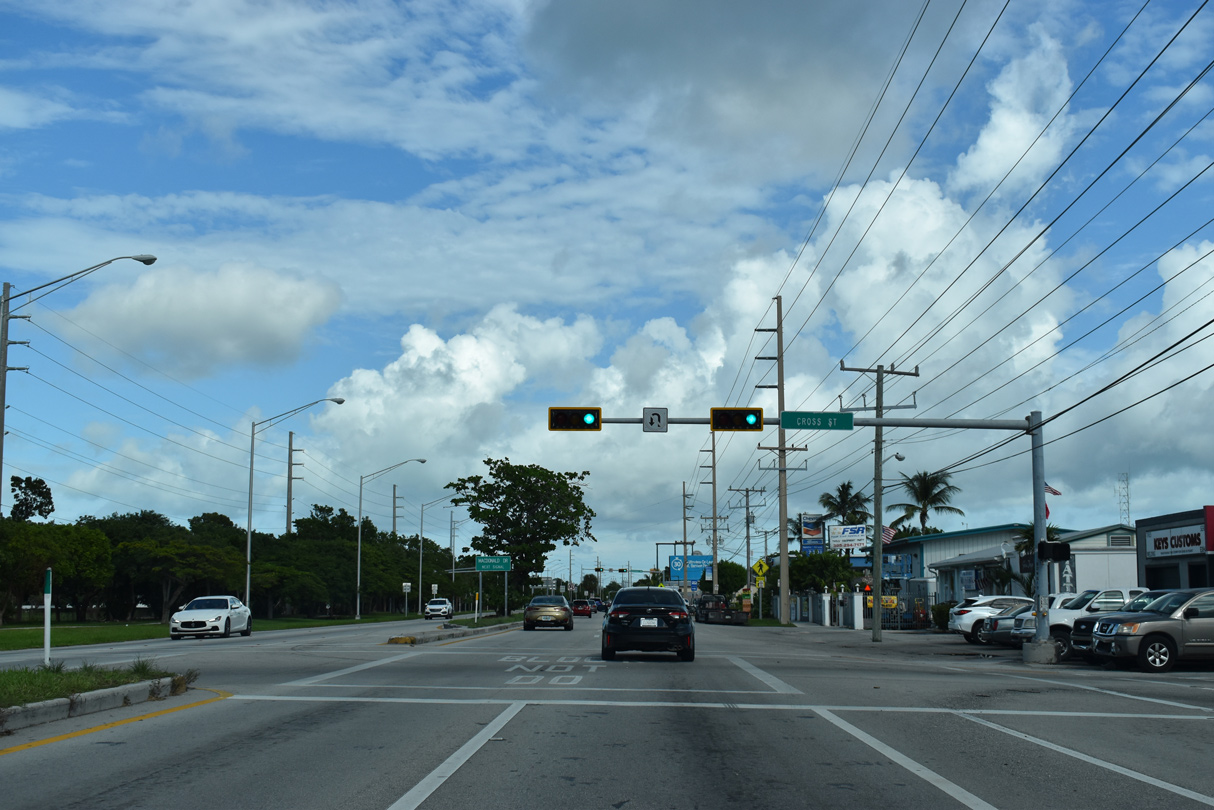
| Cross Street stems 0.52 miles south from U.S. 1 (Overseas Highway) on Stock Island to 12th Avenue in a manufactured home community. 10/17/20 |
|
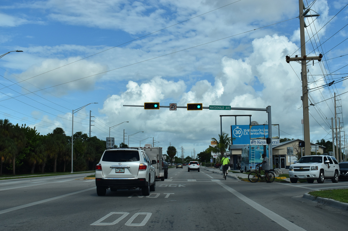
| MacDonald Avenue branches east from the succeeding traffic light on U.S. 1 northbound to Maloney Avenue, which extends south to Peninsular Avenue on the east end of Stock Island. 10/17/20 |
|
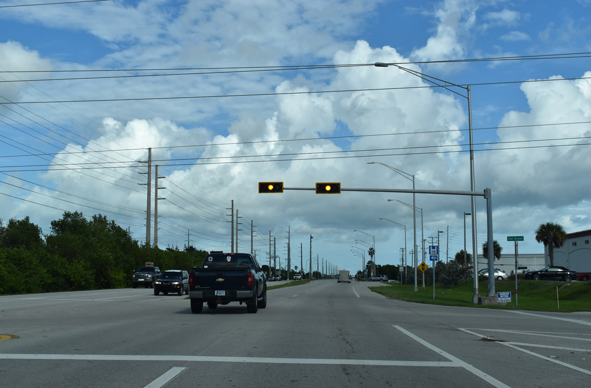
| 3rd Street connects U.S. 1 with industrial businesses, apartments and additional residences on Stock Island. 10/17/20 |
|
| A highway safety sign for the Overseas Highway stands at the turn off for the Key Haven Boat Ramp. 10/17/20 |
|
| U.S. 1 reassurance marker posted east of Key Haven Road on Raccoon Key. 10/17/20 |
|
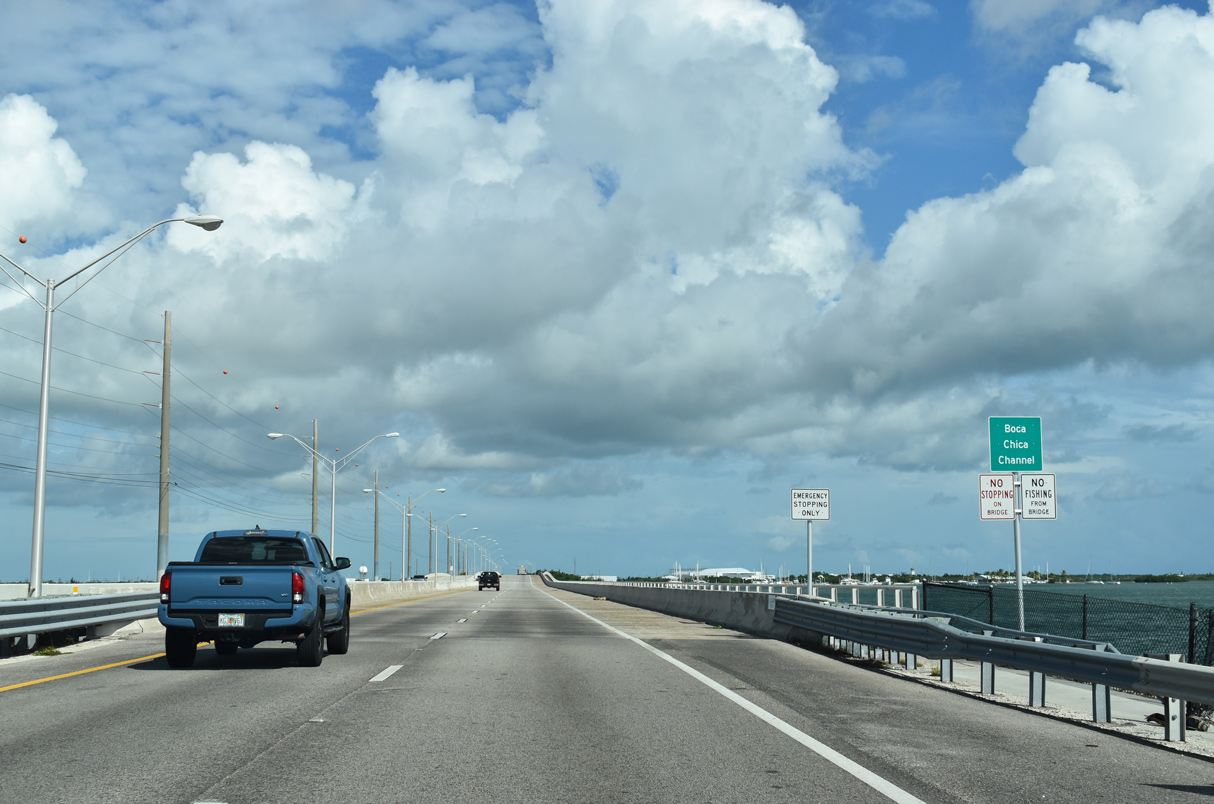
| U.S. 1 (Overseas Highway) crosses Boca Chica Channel east from the southern tip of Raccoon Key. 10/17/20 |
|
| The northbound span over Boca Chica Channel was built in 1981. The southbound bridge dates back to 1973. 10/17/20 |
|
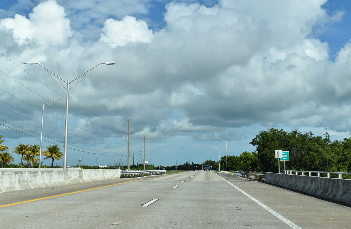
| U.S. 1 north reaches Boca Chica Key, home of Naval Air Station Key West. 10/17/20 |
|
| A trumpet interchange joins U.S. 1 (Overseas Highway) with Saratoga Avenue south to Naval Air Station Key West, home of a naval flight training school. 10/17/20 |
|
| The exchange with Saratoga Avenue on Boca Chica Key is located at mile marker 8. This was the only interchange along the Overseas Highway until two exits were constructed north of Key Largo. 10/17/20 |
|
| The entrance ramp from Naval Air Station Key West joins U.S. 1 (Overseas Highway) northbound along a causeway connecting with Rockland Key. 10/17/20 |
|
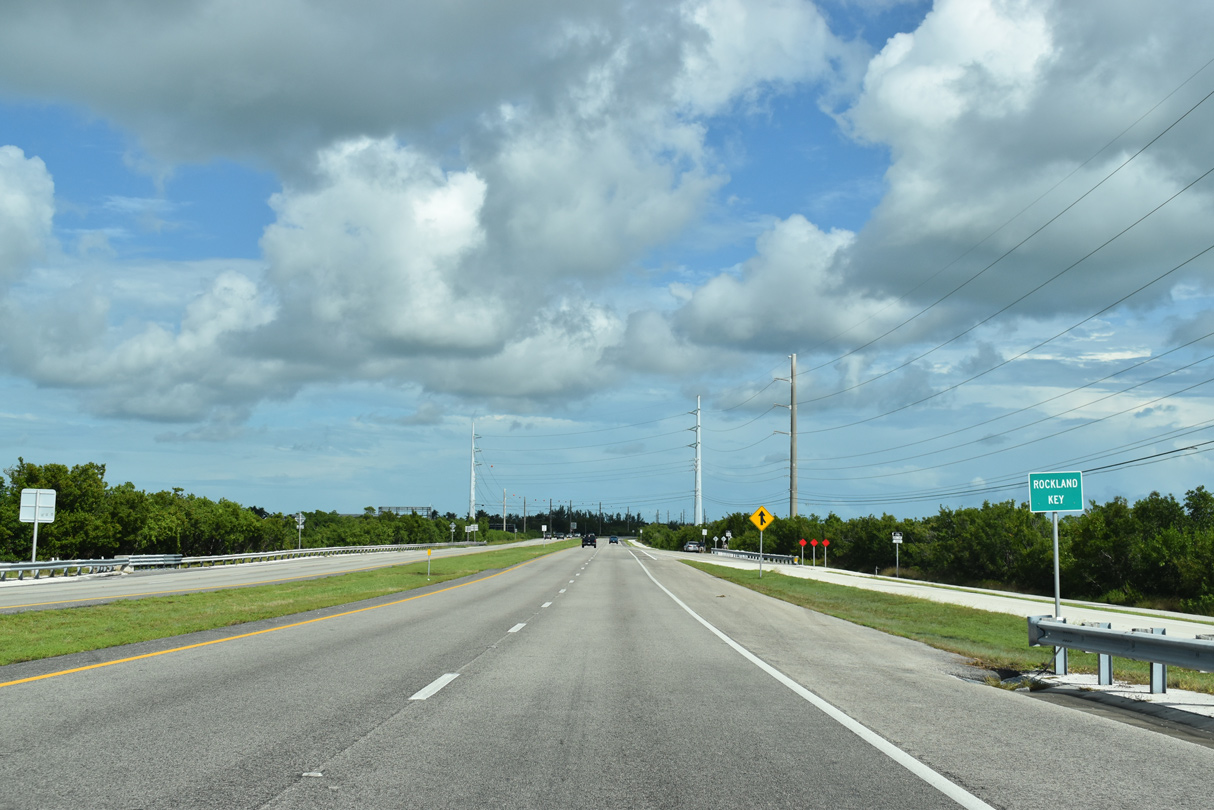
| Northbound U.S. 1 reassurance marker posted at Rockland Key. 10/17/20 |
|
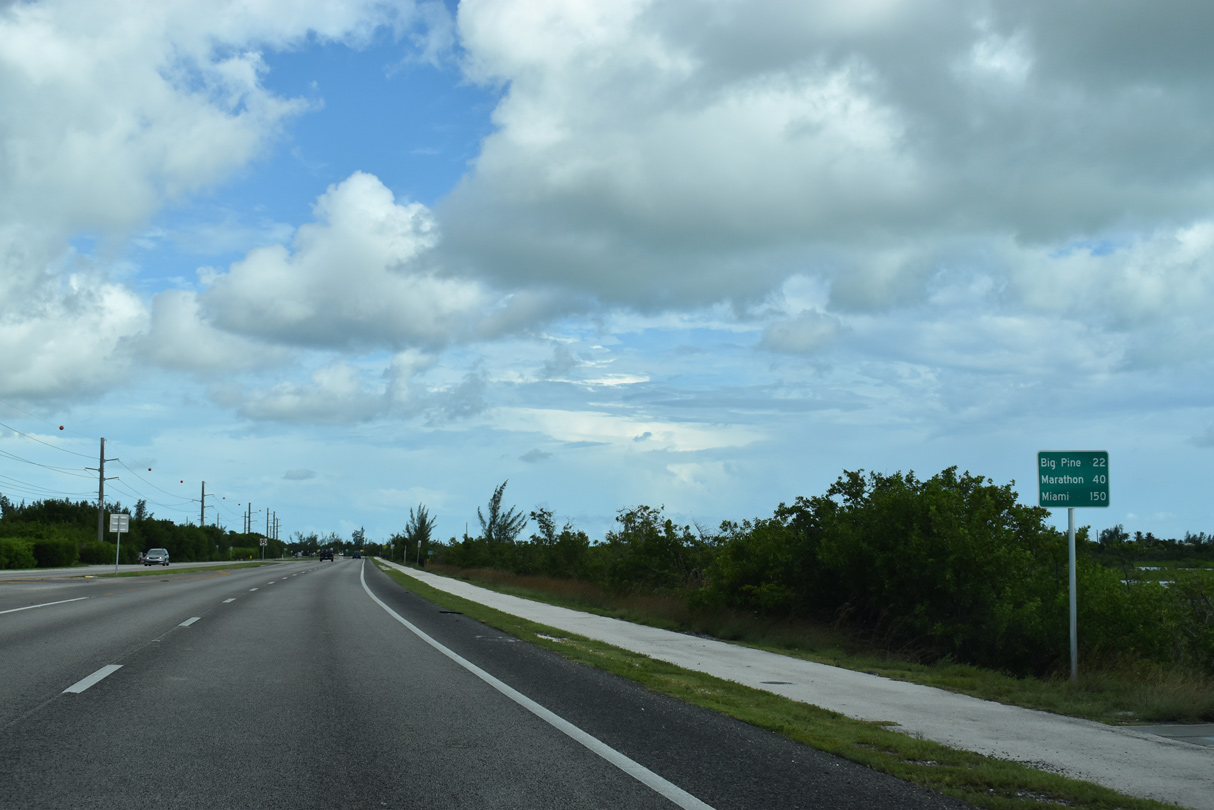
| This distance sign posted on Rockland Key replaced an assembly listing Big Pine at 22 and Marathon at 38. These are the next two population centers the route to the Florida mainland. 10/17/20 |
|
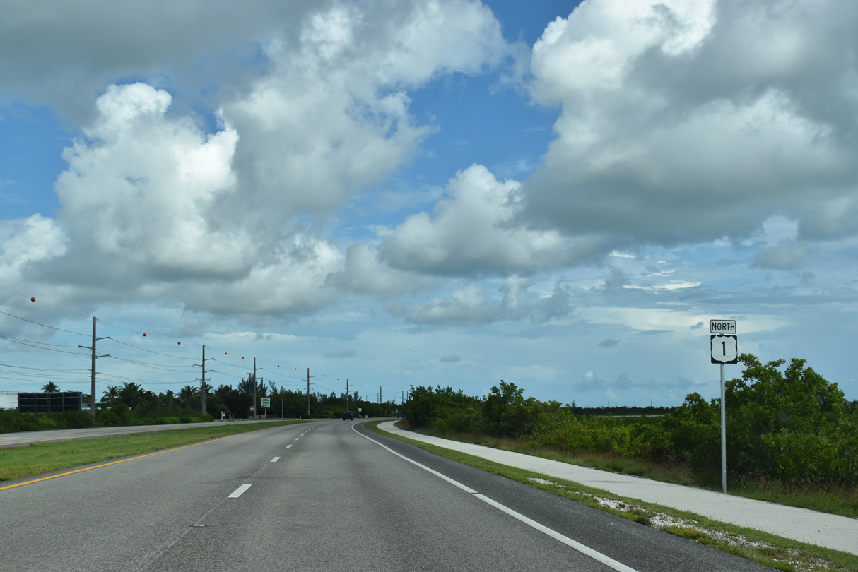
| Overseas Highway narrows from four to two overall lanes east of the intersection with Midway Avenue at East Rockland Key. 10/17/20 |
|
| Midway Avenue extends southwest from Rockland Drive nearby to the truck entrance for Naval Air Station Key West. 10/17/20 |
|
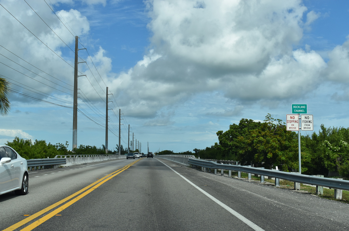
| Narrow Rockland Channel separates East Rockland Key from Big Coppitt Key. Big Coppitt Key is home to an array of residential streets both north and south of U.S. 1. 10/17/20 |
Page Updated 04-22-2024.