|
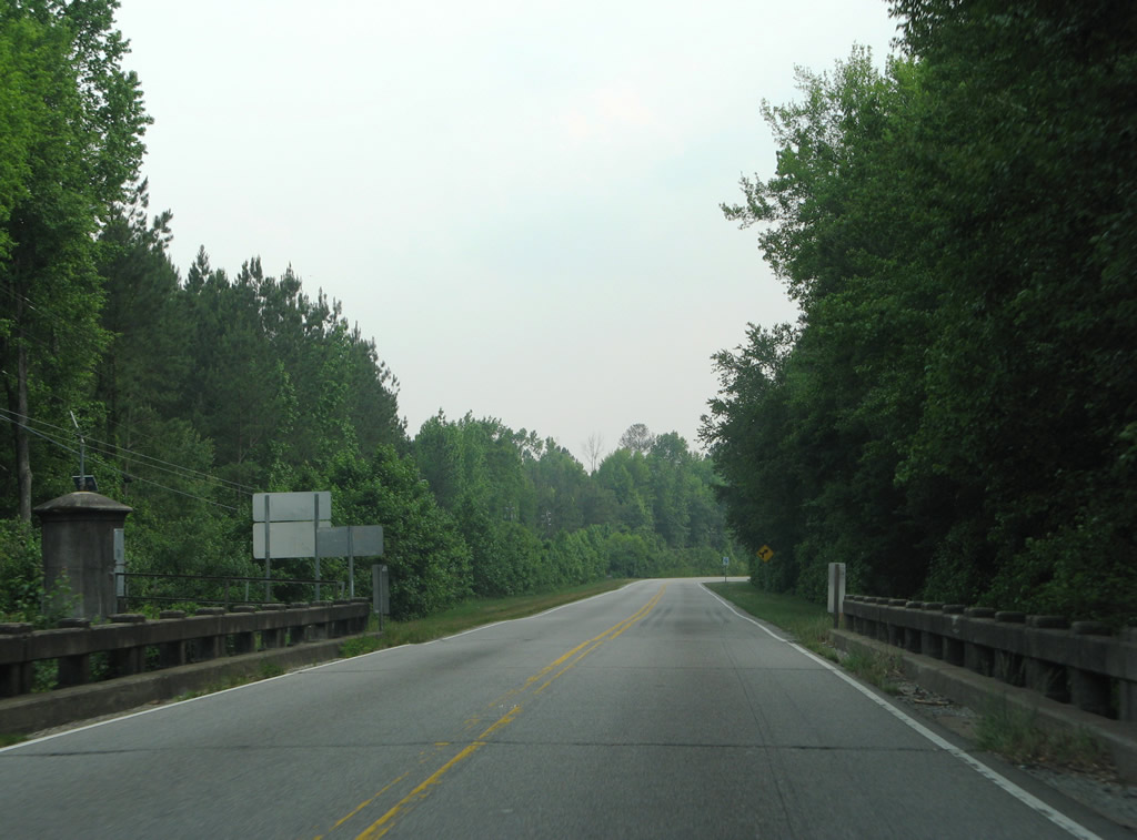
| Drowning Creek separates Moore and Richmond Counties along U.S. 1 south. The original two lane bridge spanning the creek opened in 1923. It was replaced during four-laning of U.S. 1 here in 2012. 05/30/07 |
|
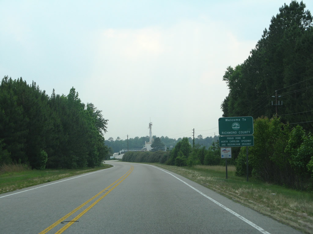
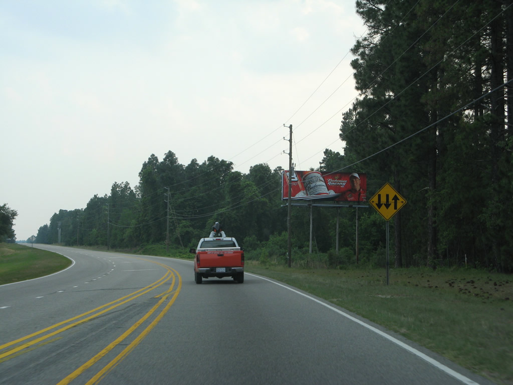
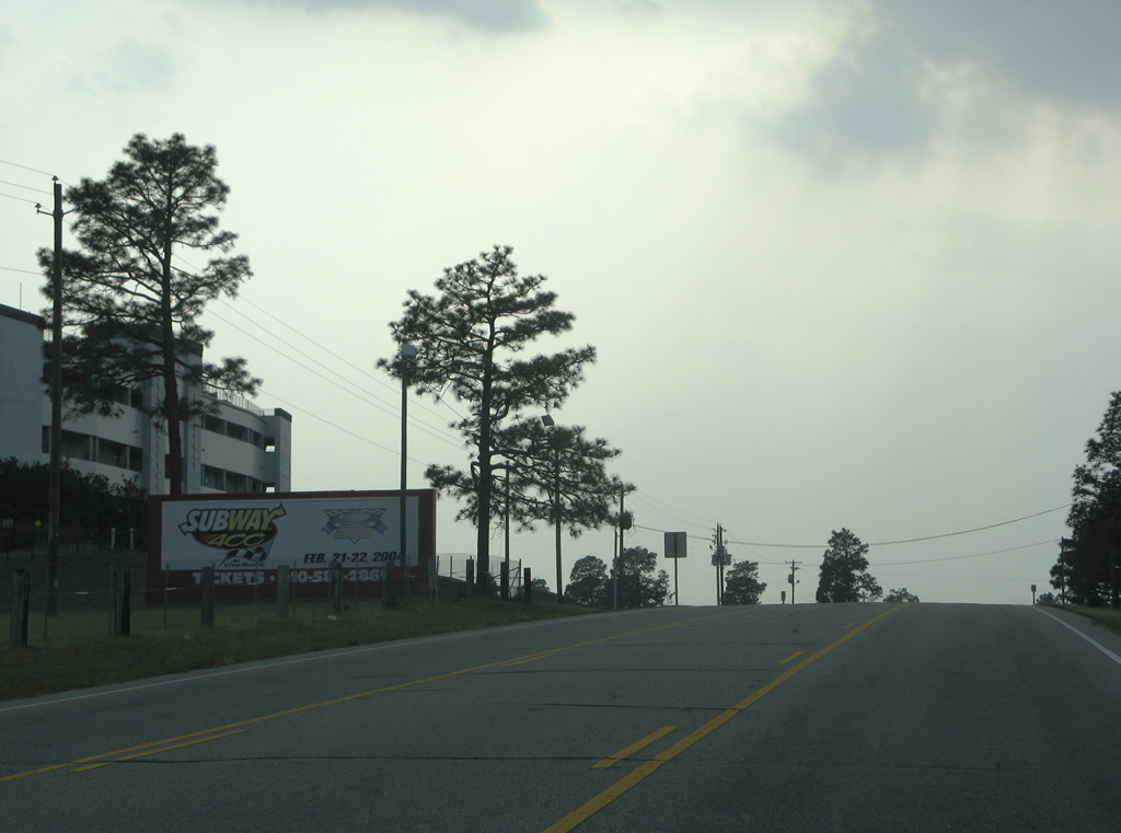
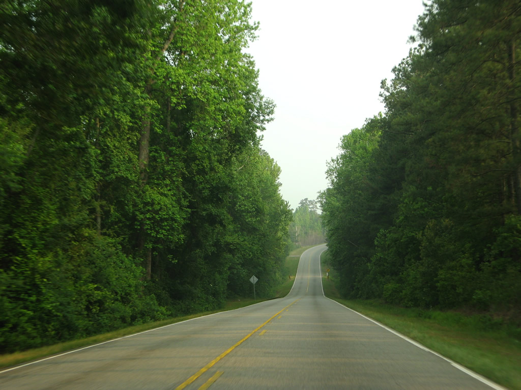
| U.S. 1 remains rural with a scattering of industrial businesses through northeastern Richmond County. Camp Mackall Military Reservation lies just to the south. 05/30/07 |
|
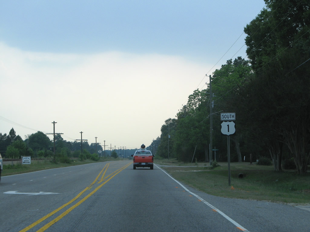
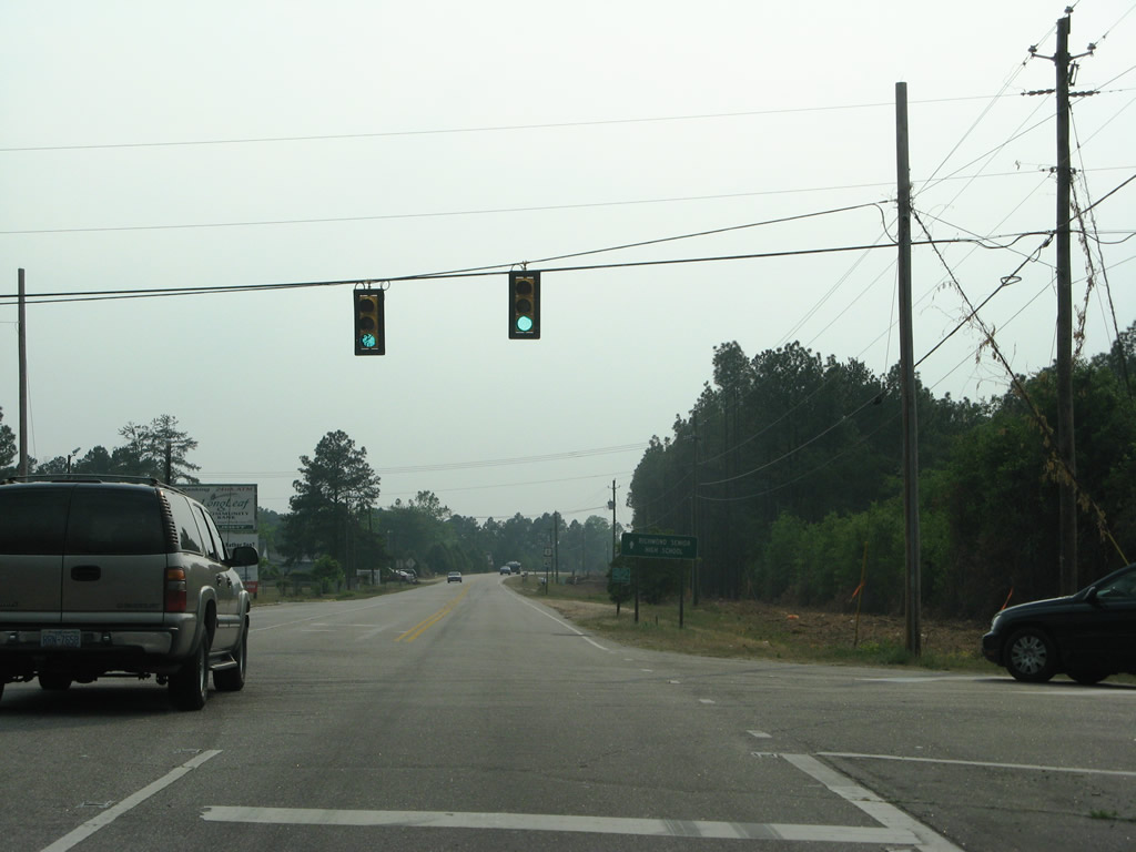
| U.S. 1 enters the town of Hoffman south along Main Street. This shield was posted after the intersection joining Little Road with Bracey Street.
Construction completed by 2012 widened U.S. 1 to a five lane arterial through Hoffman. 05/30/07 |
|
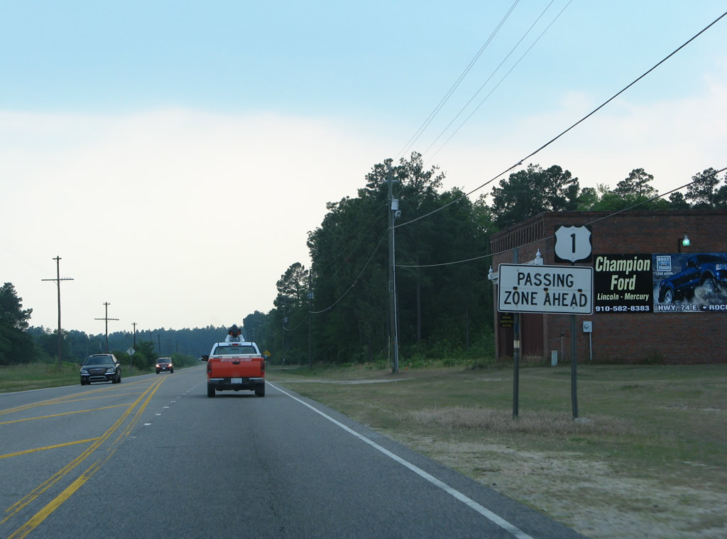
| A passing zone was provided southbound between Tilly and Bowen Streets through Hoffman. Paralleling the highway through Hoffman is a CSX Railroad.
Expansion of U.S. 1 here provides two lanes in each direction. The business to the right in this scene was demolished to make way for the widened roadway. 05/30/07 |
|
| Caddell Road stems west from U.S. 1 (Main Street) in Hoffman to McDonald Church Road. U.S. 1 leaves Hoffman for Marston and meets McDonald Church Road east of Ledbetter. 05/30/07 |
|
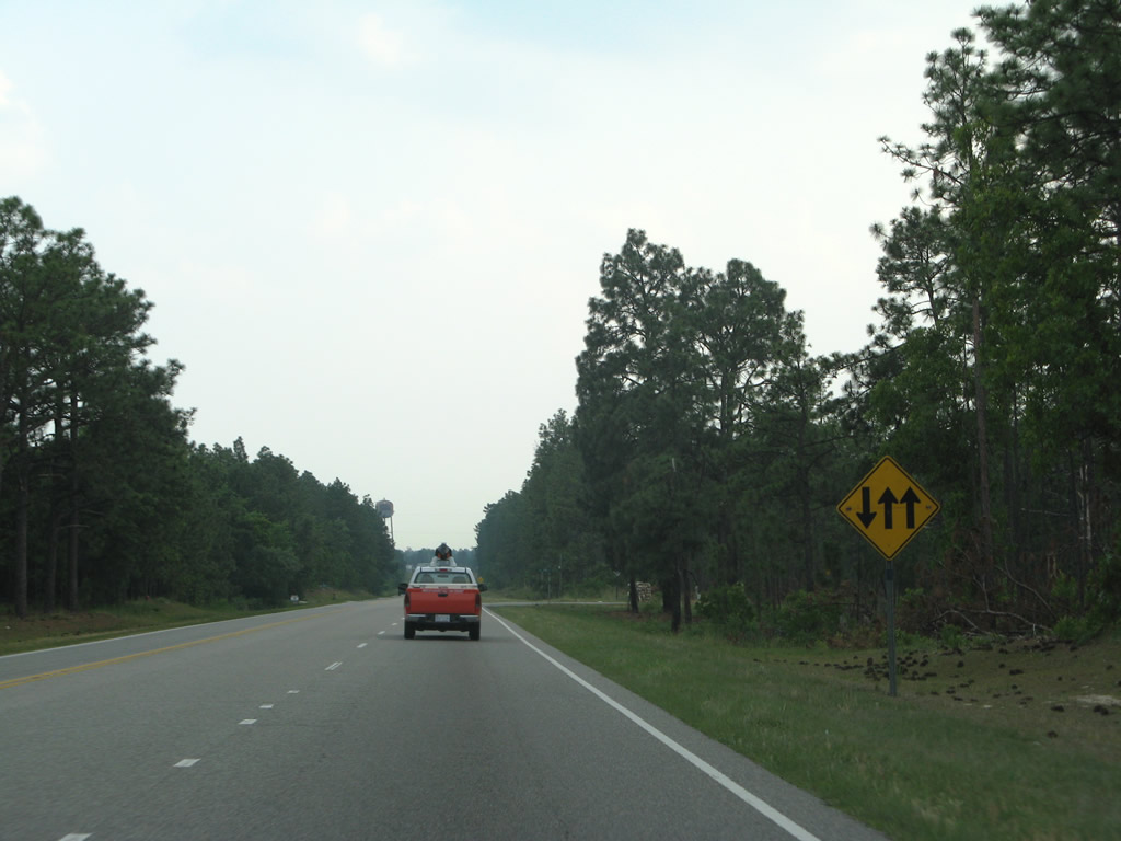
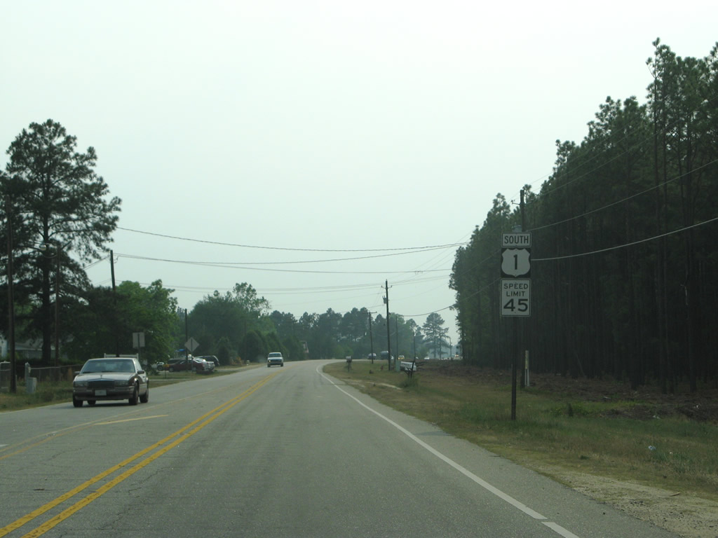
| U.S. 1 previously alternated with two lanes northbound for passing and one southbound and vice versa. Construction expanding U.S. 1 to four lanes with a continuous center turn lane here started in 2009. 05/30/07 |
|
| Another regulatory sign showing the former two and one lane configuration of U.S. 1 south of Hoffman. 05/30/07 |
|
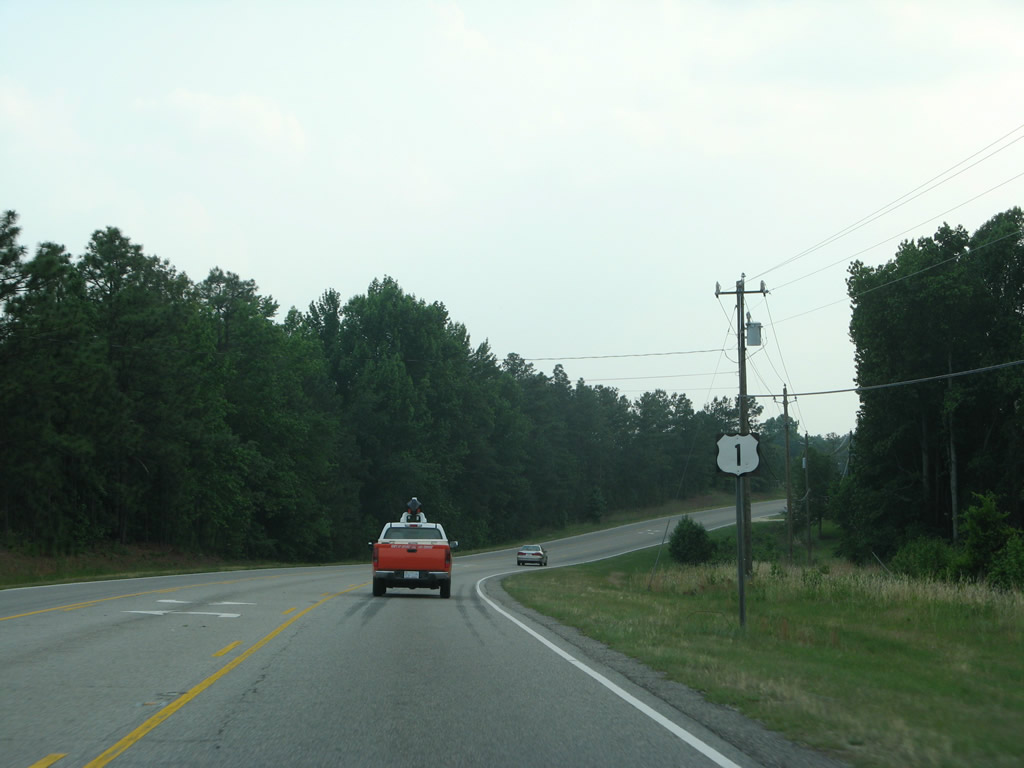
| Curving southwest after the intersection with Old Laurel Hill Road. Eventually leading southward to NC 144 (Old Wire Road) at Laurel Hill, Old Laurel Hill Road enters Scotland County as Marston Road. 05/30/07 |
|
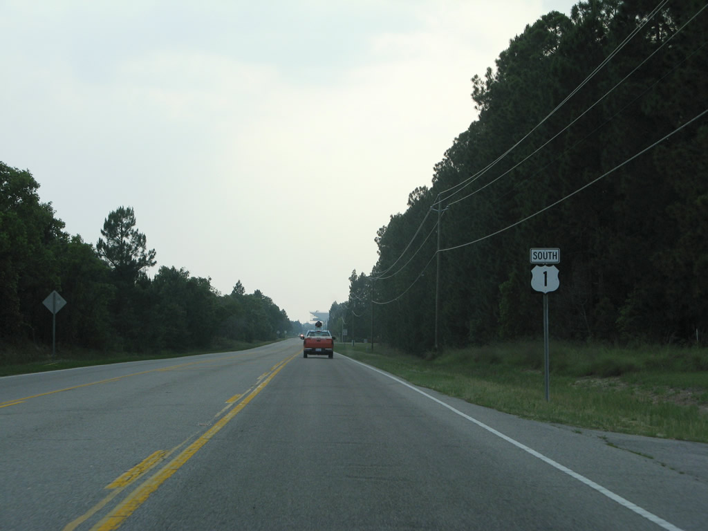
| Marston Road ties into U.S. 1 within view of Rockingham Speedway. Marston Road leads south to Sneads Grove Road in Scotland County. 05/30/07 |
|
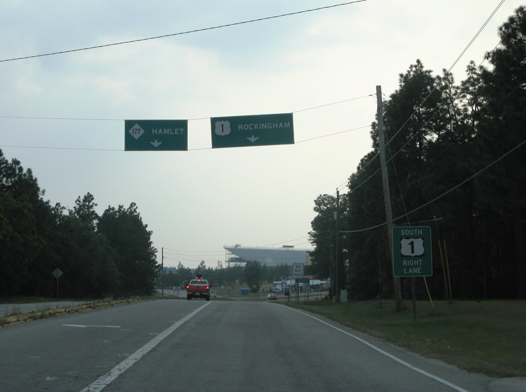
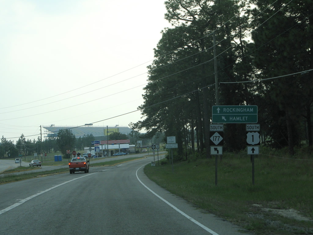
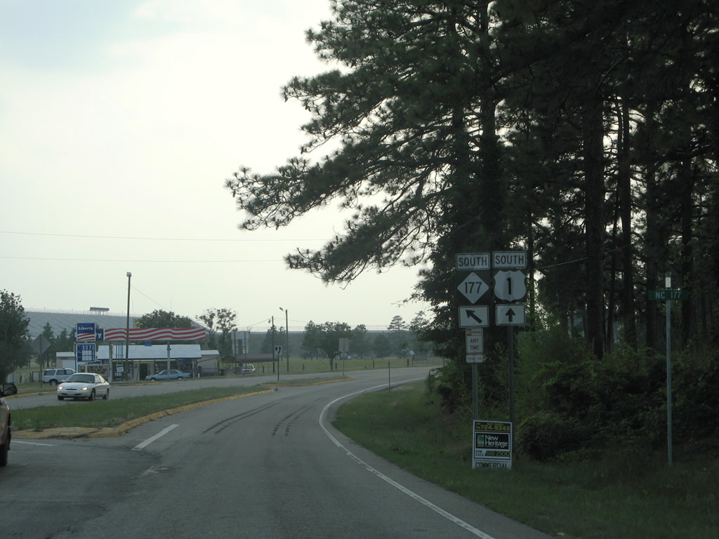
| NC 177 branches south from U.S. 1 near Rockingham Speedway. NC 177 travels two miles to Cognac and eight miles to Dobbins Heights en route to Hamlet. 05/30/07 |
|
| NC 177 runs 18 miles between U.S. 1 near Marston and S.C. 177 northeast of Wallace and Cheraw. 05/30/07 |
|
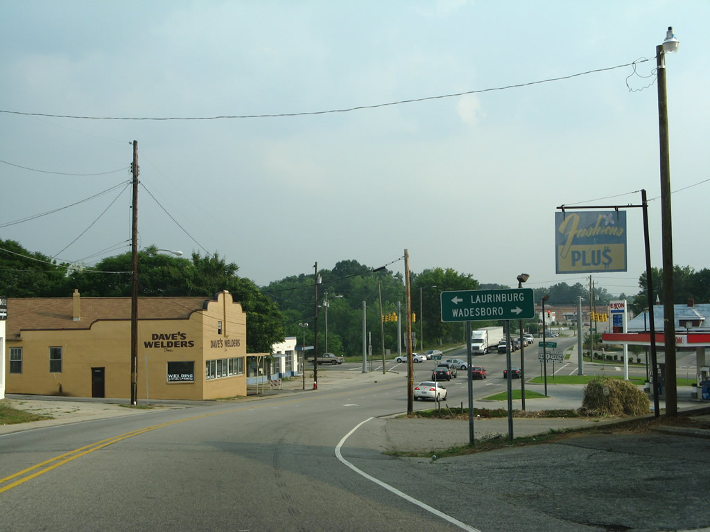
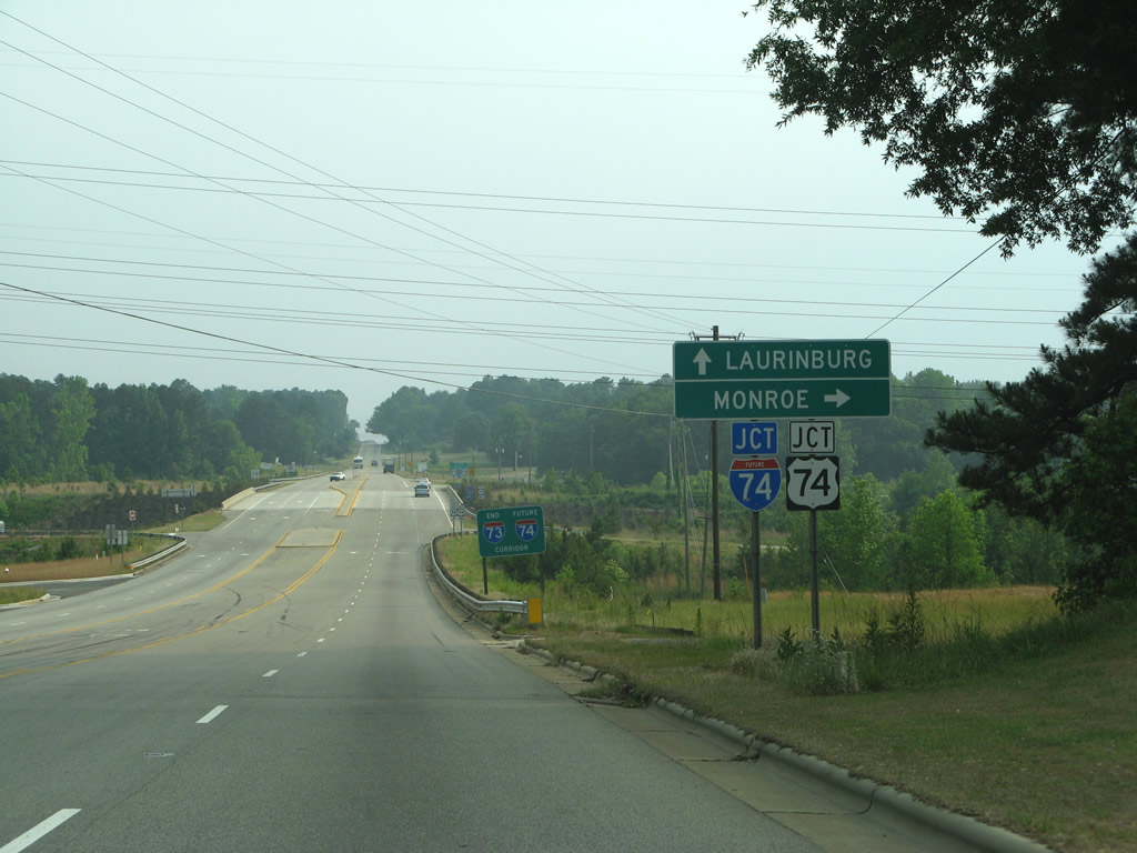
| A rural state route, NC 177 leads into North Hamlet from U.S. 1. Once in Hamlet, NC 177 navigates along King Street, Marlboro Street and Cheraw Road to Future I-74/U.S. 74. 05/30/07 |
|
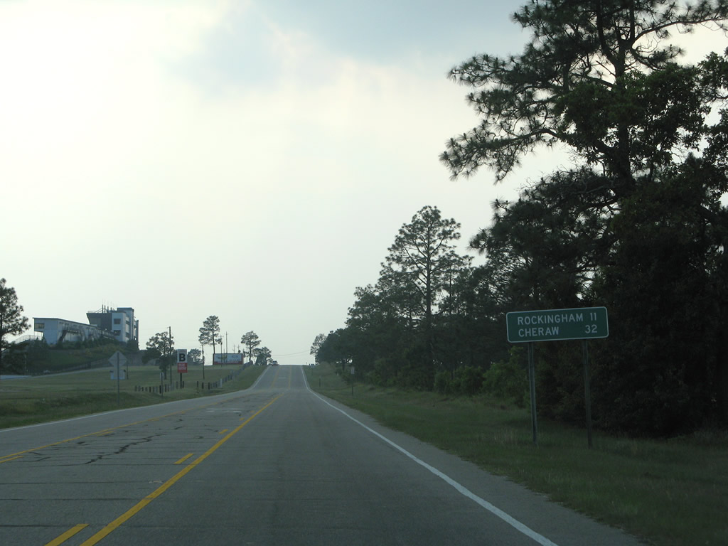
| U.S. 1 advances westward 11 miles to Rockingham and bypasses Hamlet to reach Cheraw in 32 miles. 05/30/07 |
|
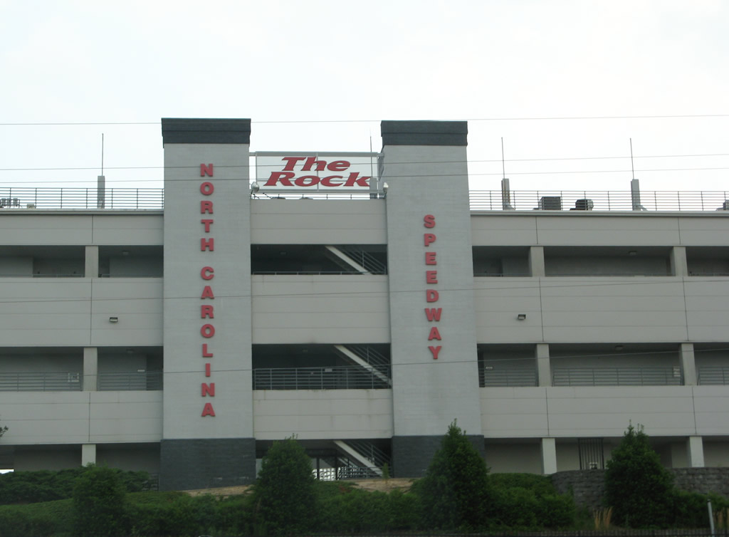
| Known as "The Rock", Rockingham Speedway occupies the wedge between U.S. 1 and NC 177. The speedway was a part of the NASCAR circuit until 2004. The track later hosted ARCA racing in 2008-09 and the NASCAR Truck Series in 2012/13. 05/30/07 |
|
| Continuing south from the Speedway and nearby Rockingham Dragway, U.S. 1 intersects Cognac Road ahead of this reassurance marker. Cognac Road heads southeast to NC 177. 05/30/07 |
|
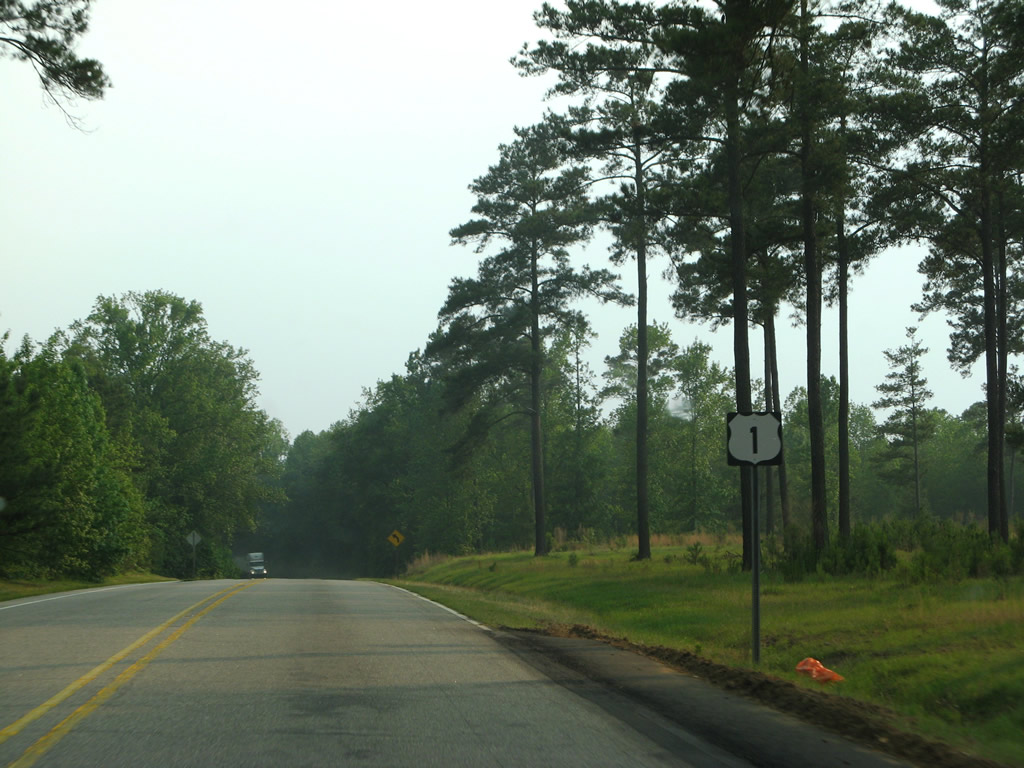
| Fox Road constitutes another rural road linking U.S. 1 and NC 177 north of Hamlet. This shield is appears after Fox Road. 05/30/07 |
|
| McDonald Church Road (SR 1475) ties into U.S. 1 near Richmond Pines Country Club. U.S. 1 intersects more side streets as the population increases along the route west toward Rockingham. 05/30/07 |
|
| Ledbetter Road north and Wiregrass Road south meet U.S. 1 at the first traffic light soutbound in Richmond County. Wiregrass Road provides a direct route into Hamlet while Ledbetter Road meanders northward to Ledbetter Lake. 05/30/07 |
|
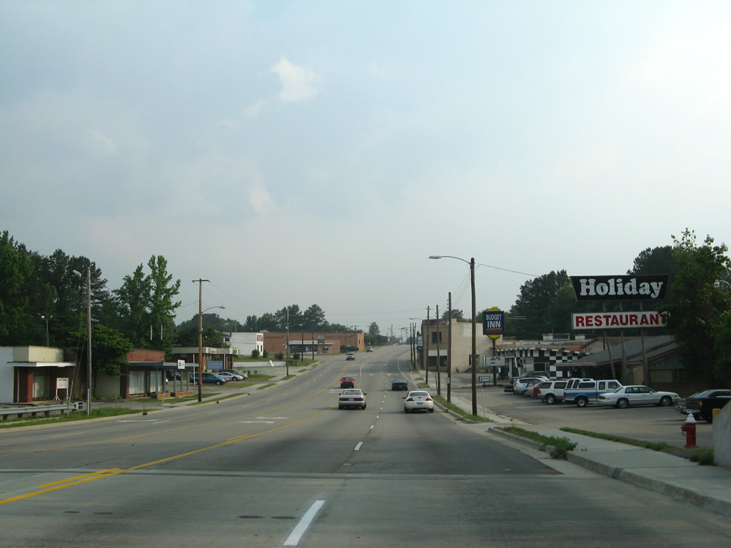
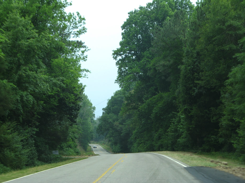
| Proceeding through the settlements of Ledbetter and Philadelphia along U.S. 1 south. 05/30/07 |
|
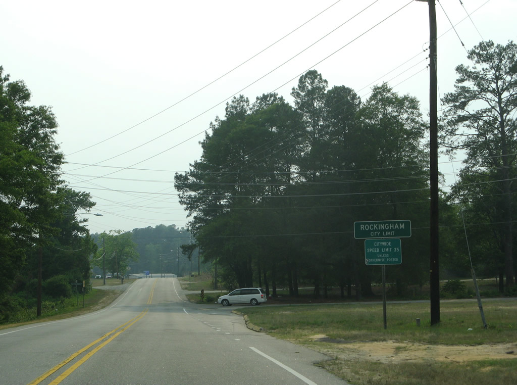
| U.S. 1 takes Fayetteville Road southwest from the Rockingham city line to Washington Street in Downtown. 05/30/07 |
|
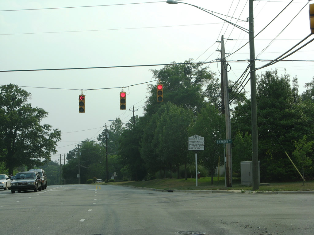
| Richmond Road runs northeast from U.S. 1 (Fayetteville Road) to Roberdel and Ledbetter Road. Long Drive provides a direct route to U.S. 74 Business (E Broad Avenue) at Maplewood. 05/30/07 |
|
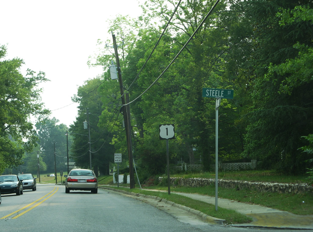
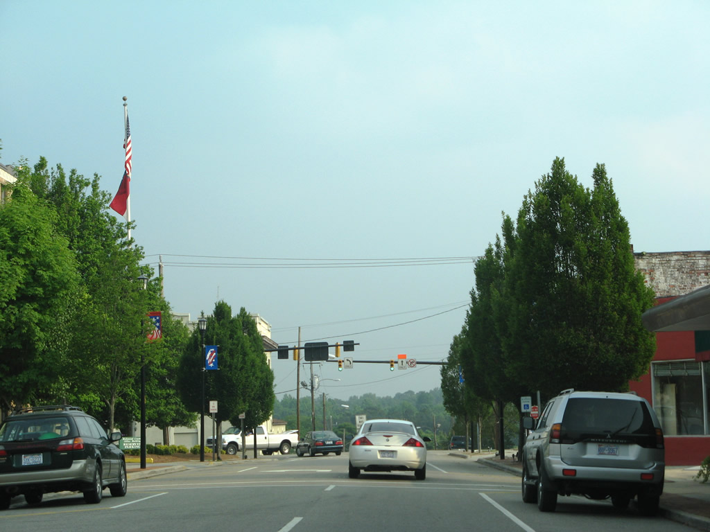
| Advancing toward the intersection with Green Street along U.S. 1 (Fayetteville Road) southbound at Steele Street. 05/30/07 |
|
| Green Street provides a bypass route of Downtown Rockingham from US. 1 to U.S. 74 Business (W Broad Avenue). Green Street links U.S. 1 with U.S. 220 as well. 05/30/07 |
|
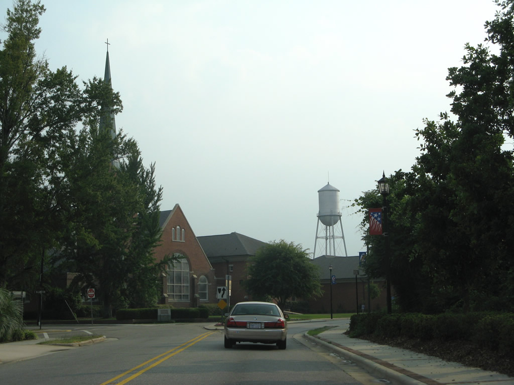
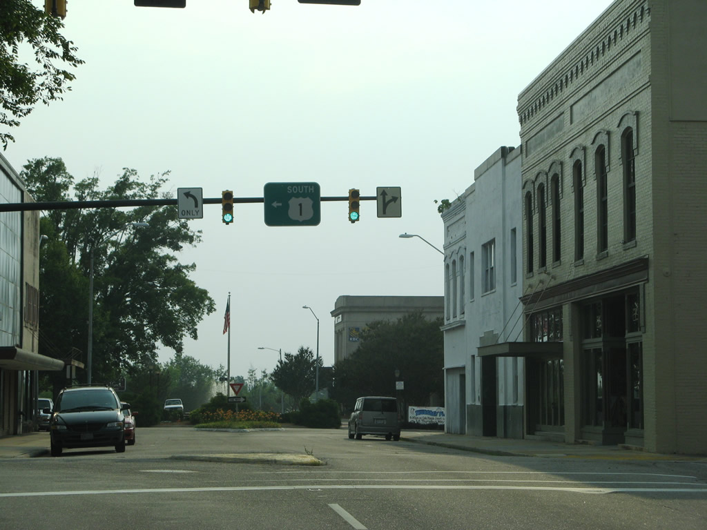
| U.S. 1 partitions into a one way couplet through Downtown Rockingham. Southbound follows Washington Street from Fayetteville Road; northbound utilizes Franklin Street eastbound between Hancock Street and Fayetteville Road. 05/30/07 |
|
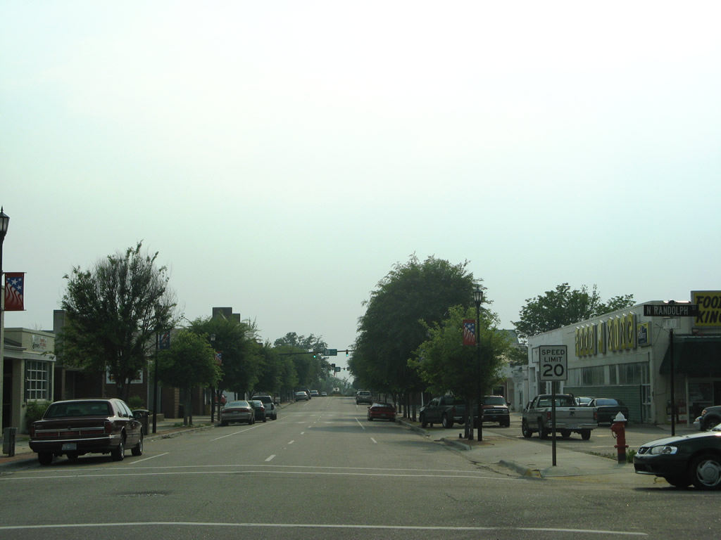
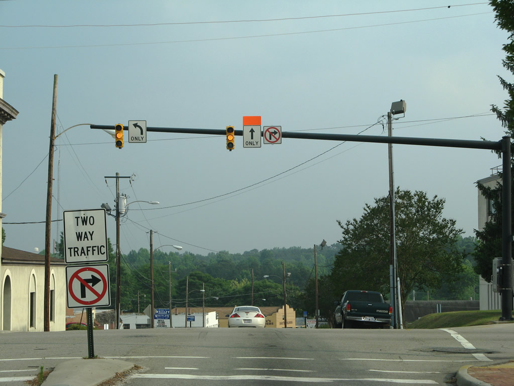
| Washington Street westbound at Randolph Street in Downtown Rockingham. 05/30/07 |
|
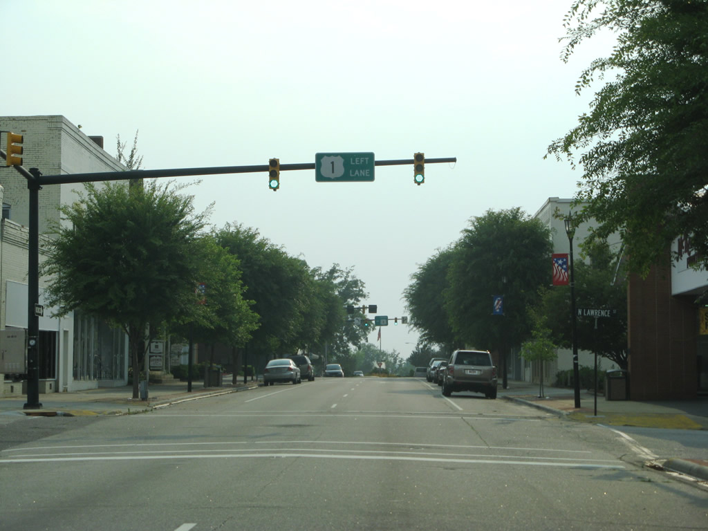
| U.S. 1 south turns left onto Hancock Street south one block west of Lawrence Street. 05/30/07 |
|
| Washington Street extends two more blocks west from U.S. 1 at Hancock Street to a fountain and Caroline Street. 05/30/07 |
|
| Hancock Street flows south between Washington and Franklin Streets. The couplet along U.S. 1 concludes south of Franklin Street and Downtown Rockingham. 05/30/07 |
|
| Leaving Downtown, U.S. 1 (Hancock Street) converges with U.S. 74 Business (E Broad Avenue). 05/30/07 |
|
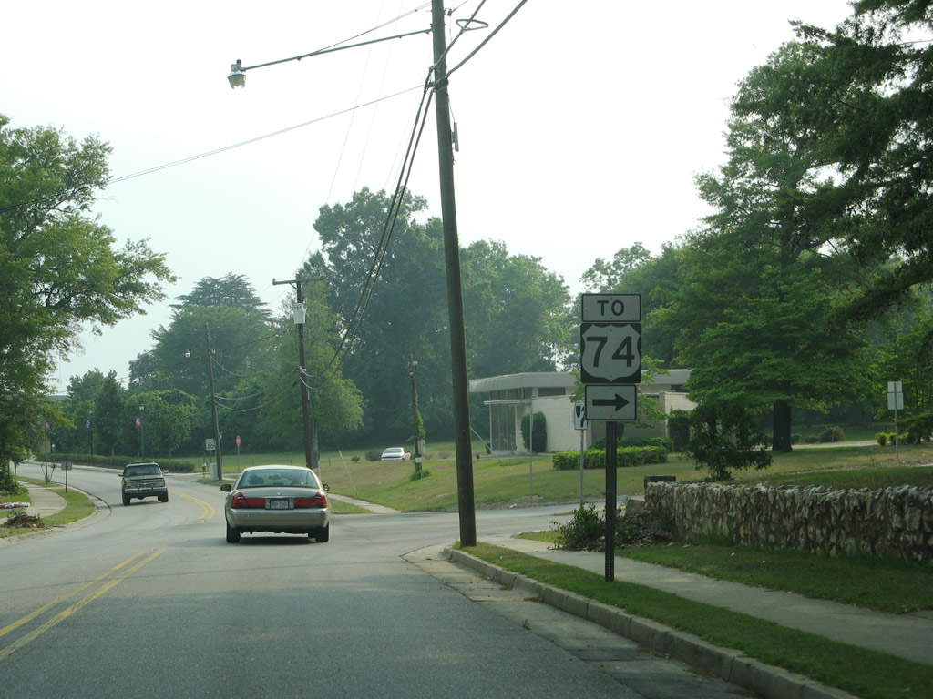
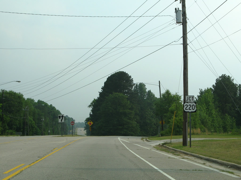
| Bypassed by U.S. 74 and Future I-74, U.S. 74 Business constitutes a commercial arterial east to Hamlet. West of U.S. 220, the business route returns to U.S. 74 in a rural area near the Anson County line. 05/30/07 |
|
| U.S. 1 continues along a five lane boulevard between U.S. 74 Business and the south end of U.S. 220. 05/30/07 |
|
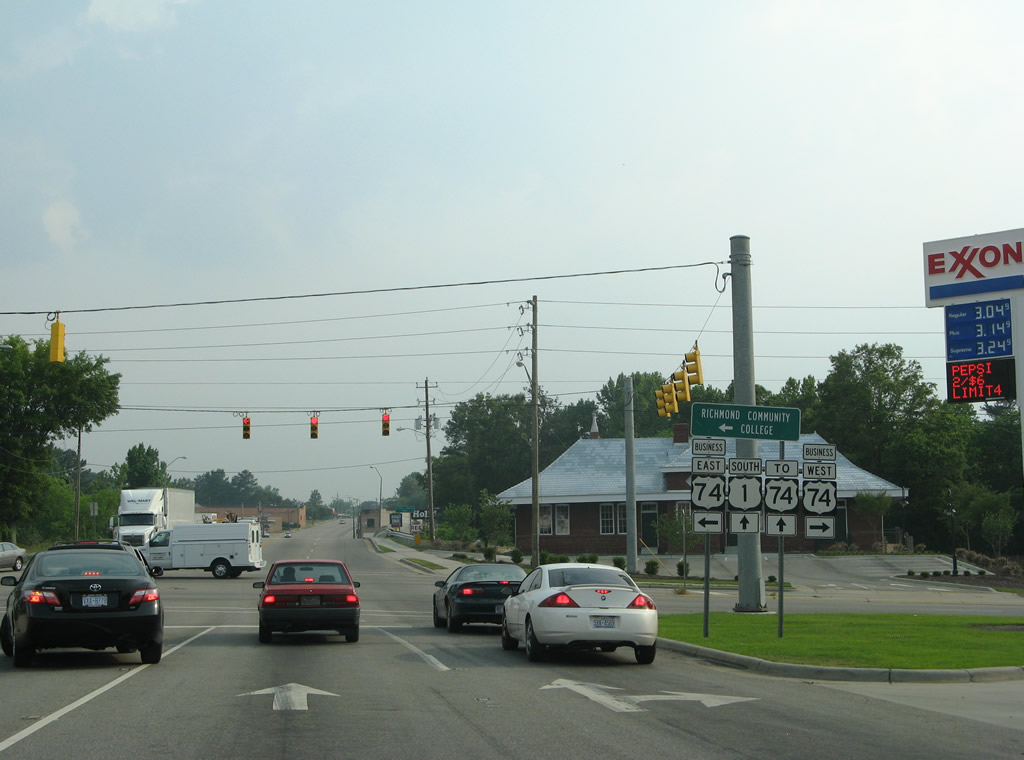
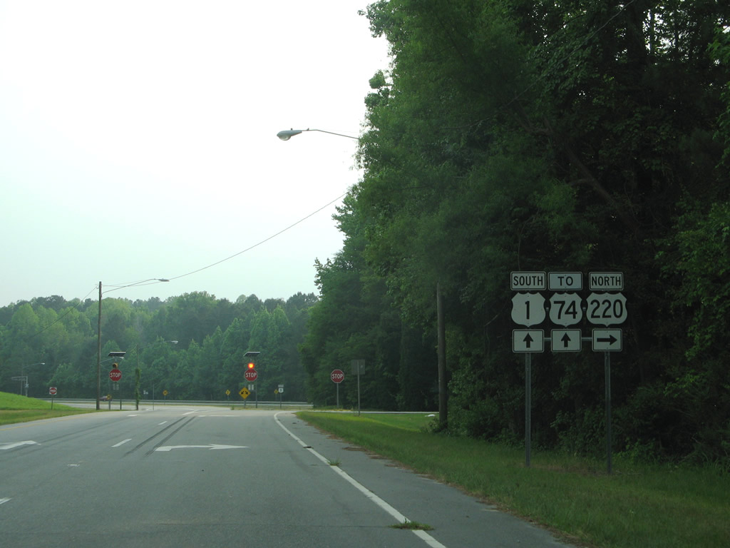
| U.S. 220 bypasses Downtown Rockingham to the west along an urban expressway. U.S. 220 follows the I-73/74 corridor north to Asheboro and Randleman. 05/30/07 |
|
| U.S. 1 south converges with U.S. 220 at a wye intersection. U.S. 220 constitutes a 678 mile long route north from Rockingham to Waverly, New York. 05/30/07 |
|
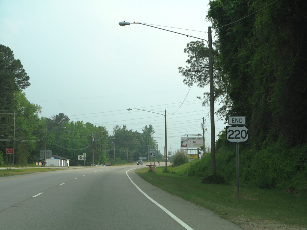
| A single lane along U.S. 1 southbound merges with two lanes from U.S. 220 ahead of a CSX Railroad crossing. 05/30/07 |
|
| An end sigh for U.S. 220 appears beyond the merge with U.S. 1. 05/30/07 |
|
| South from U.S. 220, U.S. 1 enters the community of East Rockingham. 05/30/07 |
|
| Continuing from East Rockingham, U.S. 1 enters a parclo interchange with Future I-74/U.S. 74. Future I-74 runs east along the Rockingham and Hamlet Bypass toward the Scotland County line. 05/30/07 |
|
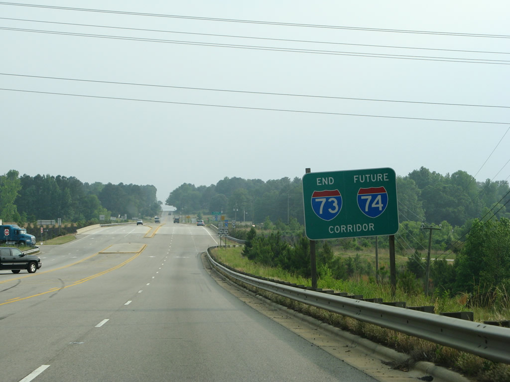
| An end Future I-73/74 corridor sign preceded the westbound entrancs ramp to U.S. 74. Future Interstate 73 will follow the NC 38 corridor south into South Carolina from Hamlet and Future I-74/U.S. 74. 05/30/07 |
|
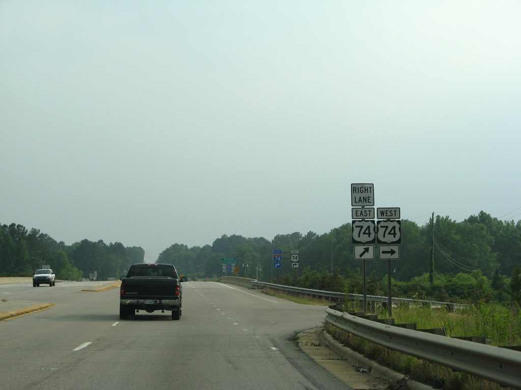
| U.S. 74 runs west five miles to U.S. 74 Business ahead of the Pee Dee River. U.S. 74 travels 22 miles to Wadesboro, 48 miles to Monroe and 61 miles to Interstate 485 outside Charlotte. 05/30/07 |
|
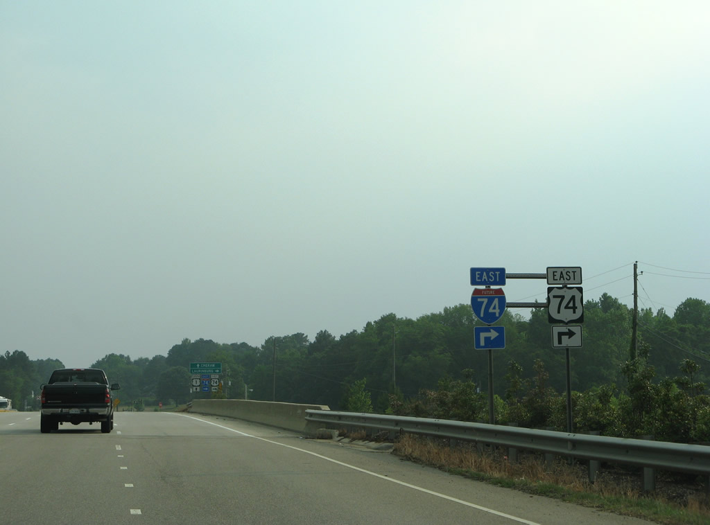
| A loop ramp joins U.S. 1 southbound with Future I-74/U.S. 74 east to Laurinburg, Lumberton and Wilmington. 05/30/07 |
|
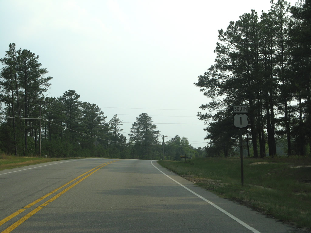
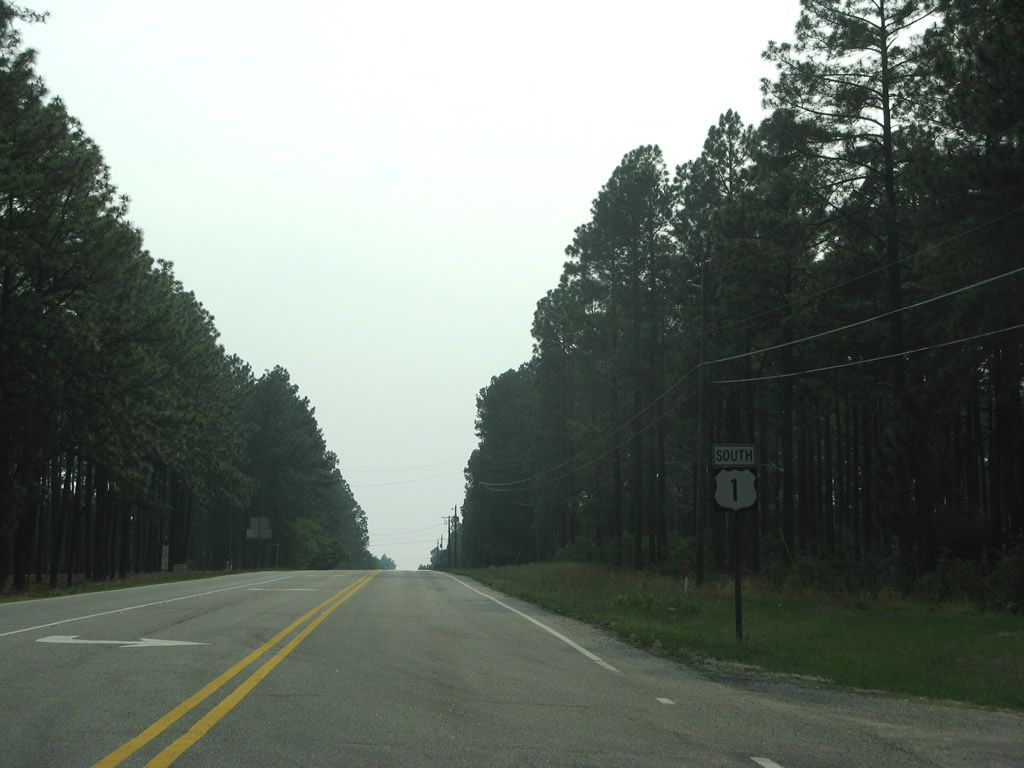
| Leaving the Rockingham area, U.S. 1 traverses areas of timberland south of Old Snead Mill Road. The ensuing ten miles to the state line are relatively uninterrupted. 05/30/07 |
|
| Hamer Mill Road intersects U.S. 1 just before this reassurance shield. The rural highway heads southeast to Lock Haven Road at Ellerbe Grove. 05/30/07 |
|
| U.S. 1 combines with Old Cheraw Highway amid pastureland in southern Richmond County. A predecessor to U.S. 1, Old Cheraw Highway winds northward to Old River Road in East Rockingham. 05/30/07 |
|
| U.S. 1 north of Everetts Lake. 05/30/07 |
|
| The final southbound marker for U.S. 1 in North Carolina precedes Marks Creek west of Everetts Lake. Marks Creek flows west into the Pee Dee River. 05/30/07 |
|
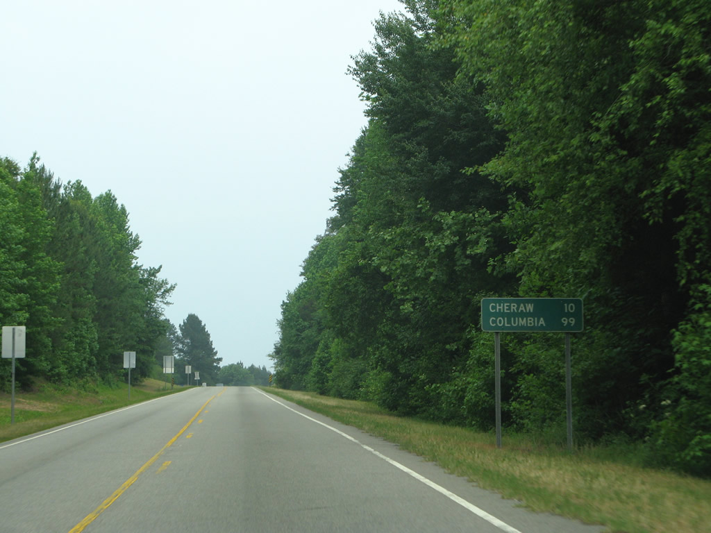
| Cheraw, where U.S. 1 combines with U.S. 52, lies ten miles south in the Palmetto State. 05/30/07 |
|
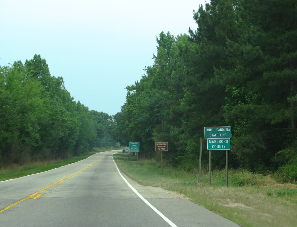
| 171 miles from the Virginia line, U.S. 1 vacates the Tar Heel State for Marlboro County, South Carolina. 05/30/07 |
Page Updated 02-03-2016.


 South
South