
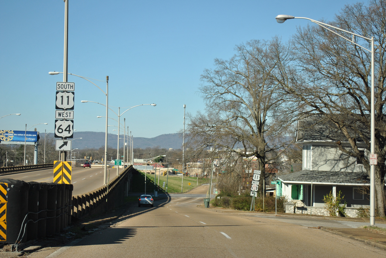
 South
South  West
West
U.S. 11/64 shift west from Interstate 75 onto Lee Highway along a 0.20 mile segment of Bonny Oaks Drive. Bonny Oaks Drive continues west along SR 317 to the Lake Hills neighborhood and SR 17.
01/20/13

Lee Highway south at U.S. 11/64 and SR 317 (Bonny Oaks Drive). The former alignment of U.S. 11/64 on Lee Highway spurs north to a handful of businesses.
01/20/13

U.S. 11/64 follow Lee Highway southwest from SR 317 at Silverdale toward the Shepherd community.
01/20/13

Tyner Road crosses U.S. 11/64 (Lee Highway) west from Walker Road to Hickory Valley Road at Tyner.
01/20/13

Standifer Gap Road passes under I-75 east from U.S. 11/64 to Jenkins Road at Cambridge Estates and leads west to the Shallowford Hills neighborhood.
01/20/13

Reassurance markers posted along Lee Highway south of Robin Drive.
01/20/13

Shallowford Road links U.S. 11/64 with adjacent Interstate 75 at Exit 5.
01/20/13

Hickory Valley Road and Longview Road come together with U.S. 11/64 at a five point intersection in Hickory Valley.
01/20/13

U.S. 11/64 meet the freeway along TN 153 at a diamond interchange at the Shephard community.
01/20/13

SR 153 runs 12.87 miles north from Interstate 75 to U.S. 27 near Soddy-Daisy.
01/20/13

01/20/13
01/20/13

01/20/13

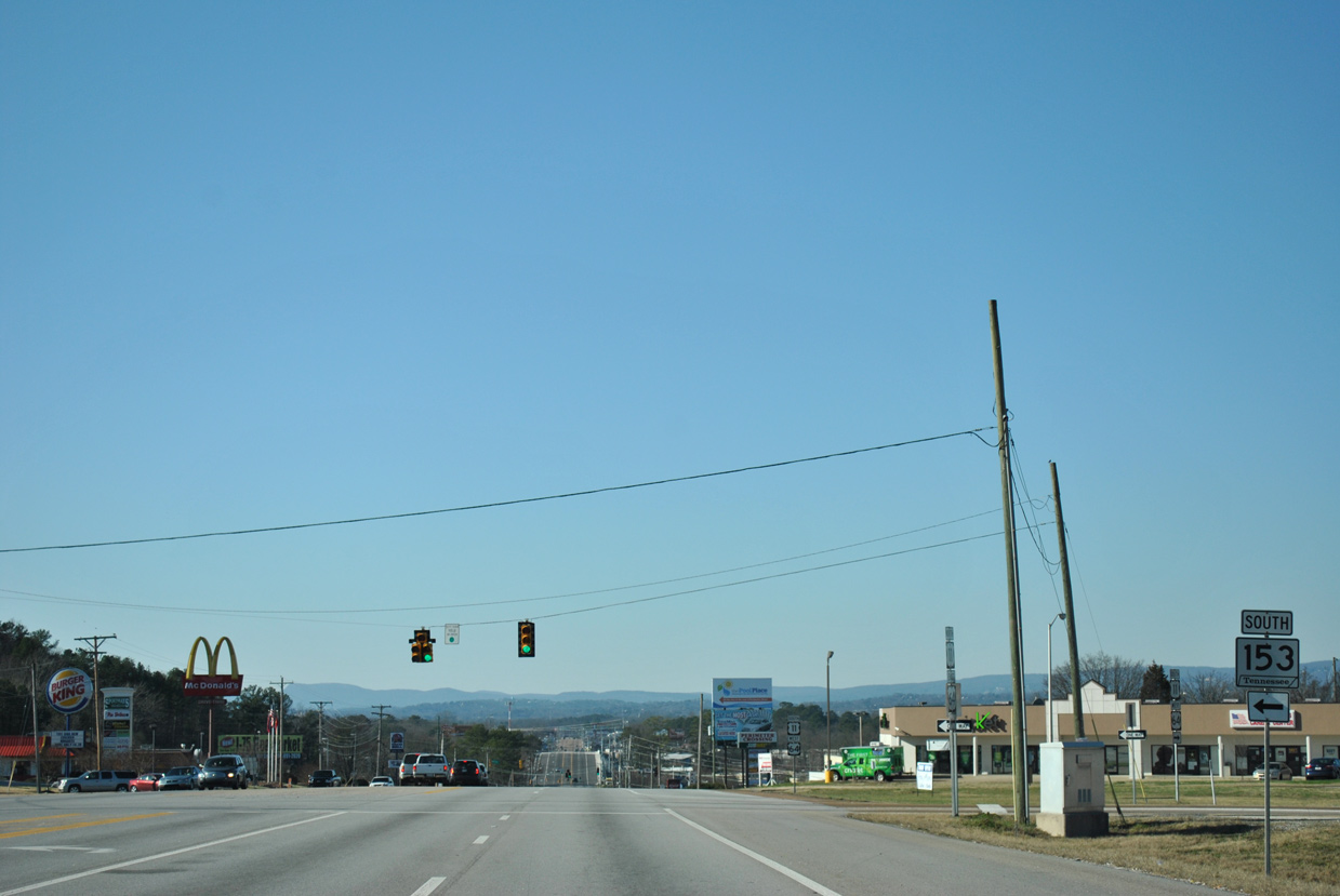
Perimeter Drive spurs south to an industrial park from U.S. 11/64 near SR 153.
01/20/13

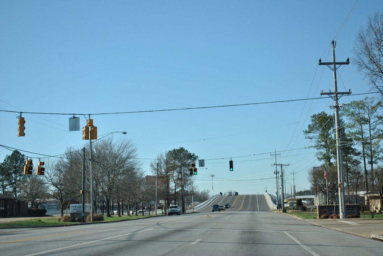
Vance Road angles across U.S. 11/64 at the succeeding traffic light westbound.
01/20/13
U.S. 11/64 elevates across a CSX Railroad line byone Van Ness Road.
01/20/13

Airport Road angles across U.S. 11/64 south from Chattanooga Airport (CHA) to the Brainerd Hills neighborhood.
01/20/13

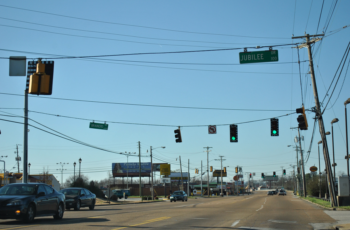
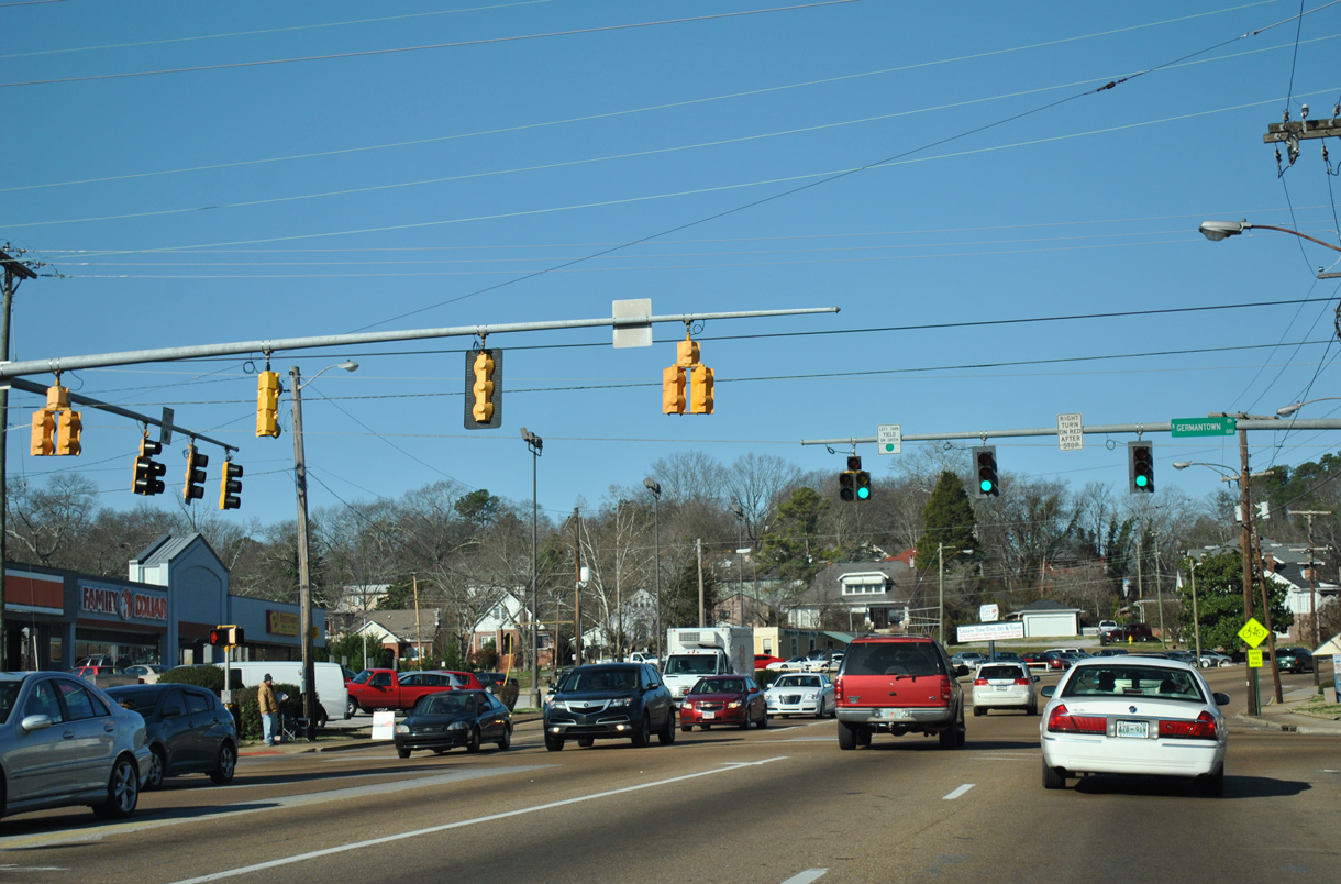
U.S. 11/64 converges with the west end of SR 320 (Brainerd Road) at Jubilee Drive.
01/20/13
SR 320 extends Brainerd Road east along a 7.27 mile course from U.S. 11/64 to SR 321 at West View.
01/20/13

U.S. 11/64 follows Brainerd Road west from SR 320, next intersecting Old Birds Mill Road.
01/20/13

01/20/13
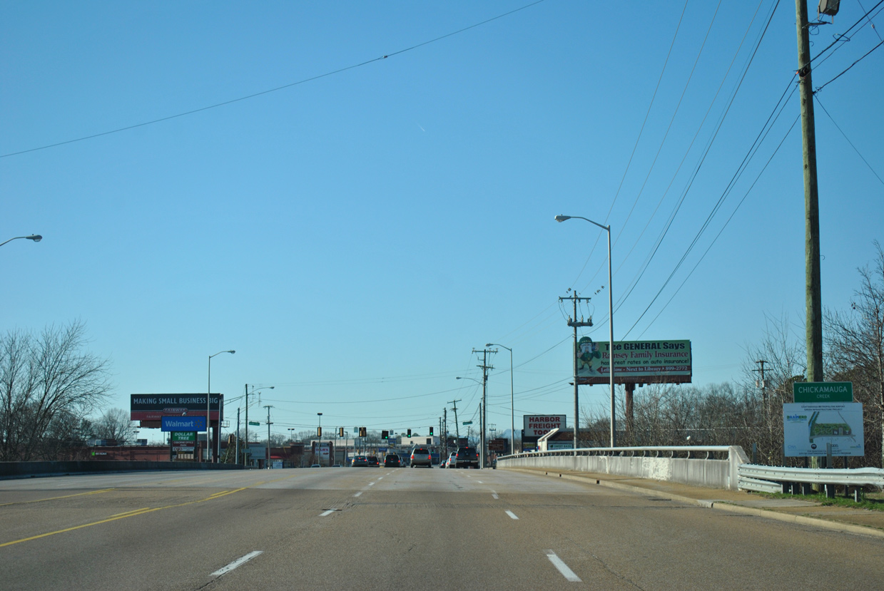
U.S. 11/64 cross South Chickamauga Creek ahead of the Brainerd Park neighborhood.
01/20/13
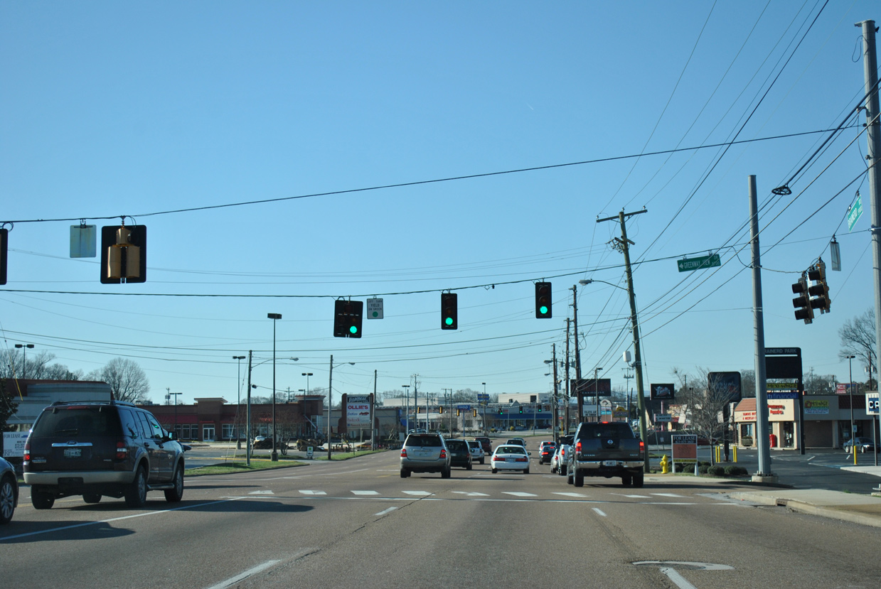
Brainerd Road west at Greenway View Drive south.
01/20/13
Eastgate Loop encircles Eastgate Town Center to the south of U.S. 11/64.
01/20/13

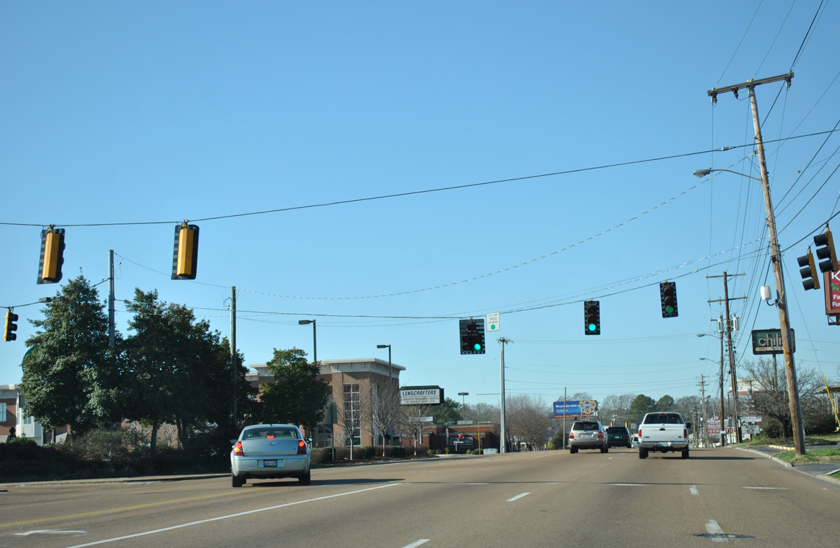
Eastgate Loop returns to U.S. 11/64 at the ensuing traffic light westbound. Eastgate Town Center was formerly Eastgate Mall.
01/20/13

Curving northwest, U.S. 11/64 intersects Spring Creek Road south.
01/20/13

McBrien Road north and Tacoa Circle Drive south tie into U.S. 11/64 at succeeding traffic lights.
01/20/13

Moore Road intersects U.S. 11/64 north from I-24 and the South Brainerd neighborhood.
01/20/13

Reassurance markers posted across from Marlboro Avenue and the Belvoir neighborhood.
01/20/13

U.S. 11/64 (Brainerd Road) navigates through an S-curve northward from Belvoir Avenue.
01/20/13

01/20/13
Germantown Road runs south from U.S. 11/64 to the city of East Ridge and north to the Menlo Park neighborhood.
01/20/13

U.S. 11/64 west at the Olde Town Brainerd neighborhood and Elmwood Drive.
01/20/13

U.S. 11/64 enter the Missionary Ridge Tunnel west of Seminole Drive.
01/20/13

01/20/13

U.S. 11/64 emerge from the Missionary Ridge Tunnel along McCallie Avenue.
01/20/13

01/20/13

01/20/13

U.S. 11/64 turn south from McCallie Avenue onto Dodds Avenue at a grade separated intersection.
01/20/13

01/20/13
U.S. 11/64 formerly partitioned into a one way couplet along McCallie Avenue west and Bailey Avenue east beyond Dodds Avenue.
01/20/13

01/20/13

Dodds Avenue extends south from Glenwood Drive.
01/20/13

McCallie Avenue continues west from U.S. 11/64 to Downtown Chattanooga.
01/20/13

Duncan Avenue west links Glenwood Drive / Dodds Avenue south with U.S. 11/64 east into the McCallie Tunnel.
01/20/13

01/20/13

U.S. 11/64 (Dodds Avenue) south at Bailey Avenue in the Ridgedale neighborhood.
01/20/13

01/20/13
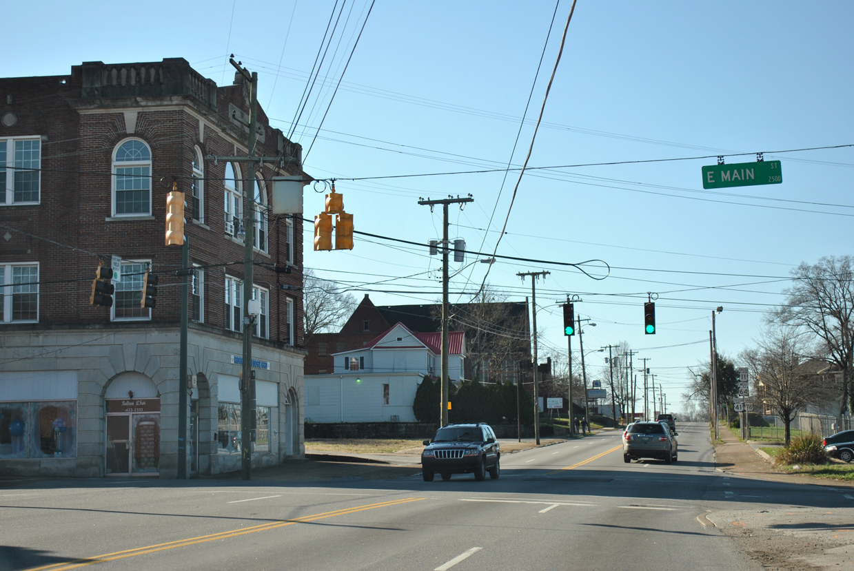
U.S. 11/64 (Dodds Avenue) combine with U.S. 41/76 south from E Main Street at an unmarked intersection. U.S. 41/76 follow Main Street west 2.36 miles to U.S. 41/72 (Broad Street).
01/20/13
 South West
  East
East
U.S. 11-41-64-76 overlap for 0.51 miles along Dodds Avenue.
01/20/13
U.S. 11/64 turn west from U.S. 41/76 (Dodds Avenue) onto E 23rd Street.
01/20/13

U.S. 11/64 (E 23rd Street) parallel I-24 west through the Oak Grove community while U.S. 41/76 shift onto Westside Drive ahead of the Bachman Tunnels.
01/20/13

01/20/13
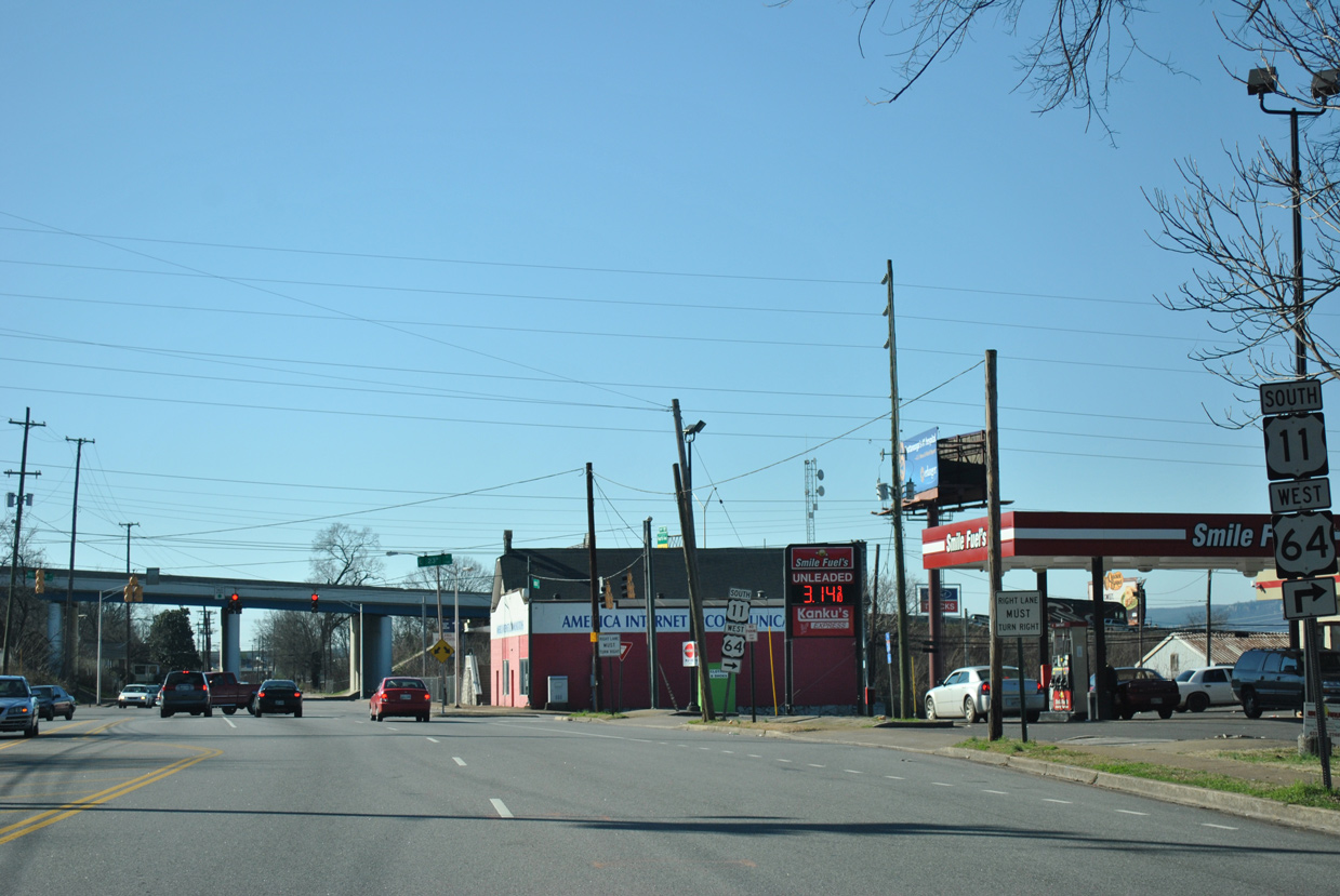
South West
U.S. 11/64 (E 23rd Street) run directly alongside I-24/U.S. 27 on an overpass spanning Norfolk Southern Railroad tracks.
01/21/13

U.S. 11/64 curve northward from E 23rd Street onto Washington Street.
01/21/13

U.S. 11/64 turn west onto E 20th Street from Washington Street at the Fort Negley neighborhood.
01/21/13

Market Street south from U.S. 11/64 (E 20th Street) is a part of SR 58 south and SR 27 north.
01/21/13

The last of the vintage Econolite traffic lights at E 20th and Market Streets was replaced by 2019.
01/21/13
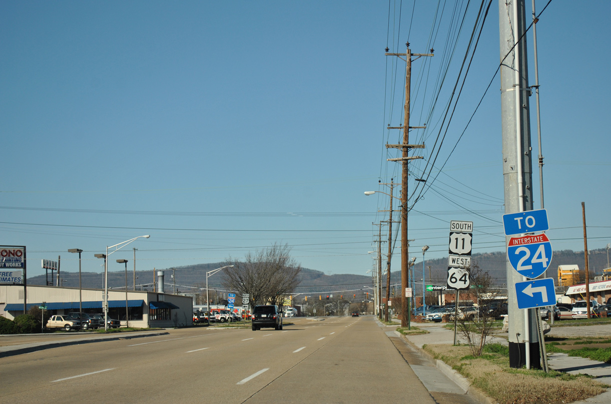
Williams Street connects U.S. 11/64 (W 20th Street) west with U.S. 27/I-124 north and I-24 west within the adjacent Big Scramble Interchange.
01/20/13

01/20/13

01/20/13

U.S. 11/64 combine with U.S. 41/72 south along Broad Street. None of the four routes are acknowledged from westbound W 20th Street.
01/20/13
Photo Credits:
01/20/13, 01/21/13 by AARoads
Connect with:
Interstate 24
U.S. 27
U.S. 41
Page Updated 08-24-2020.