

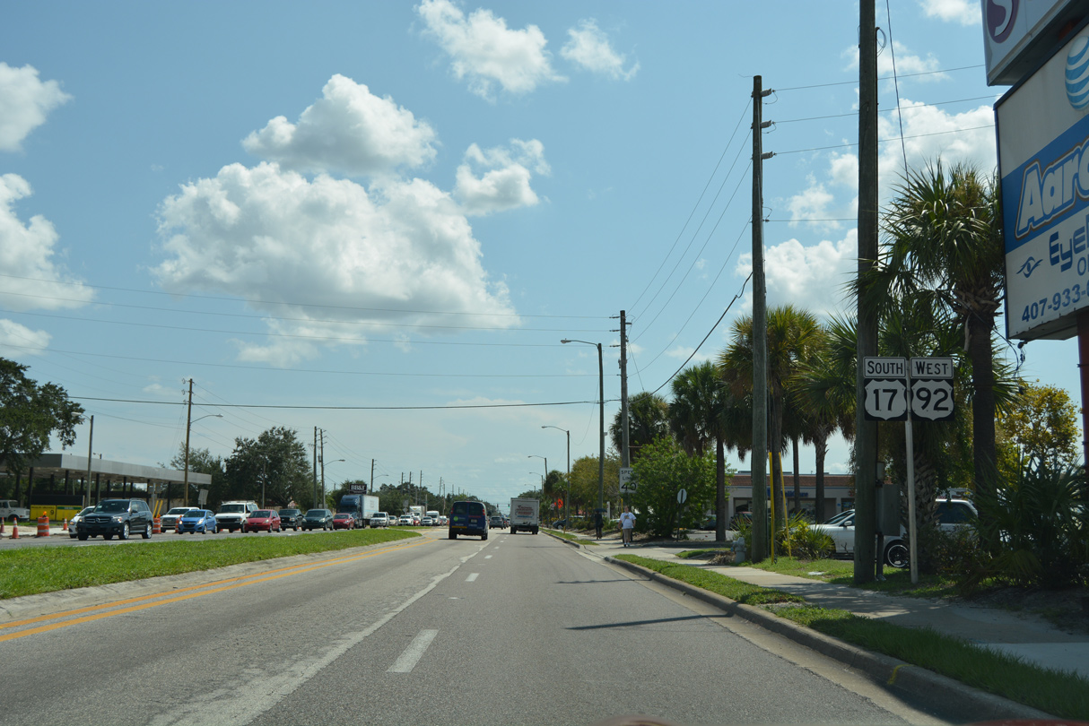
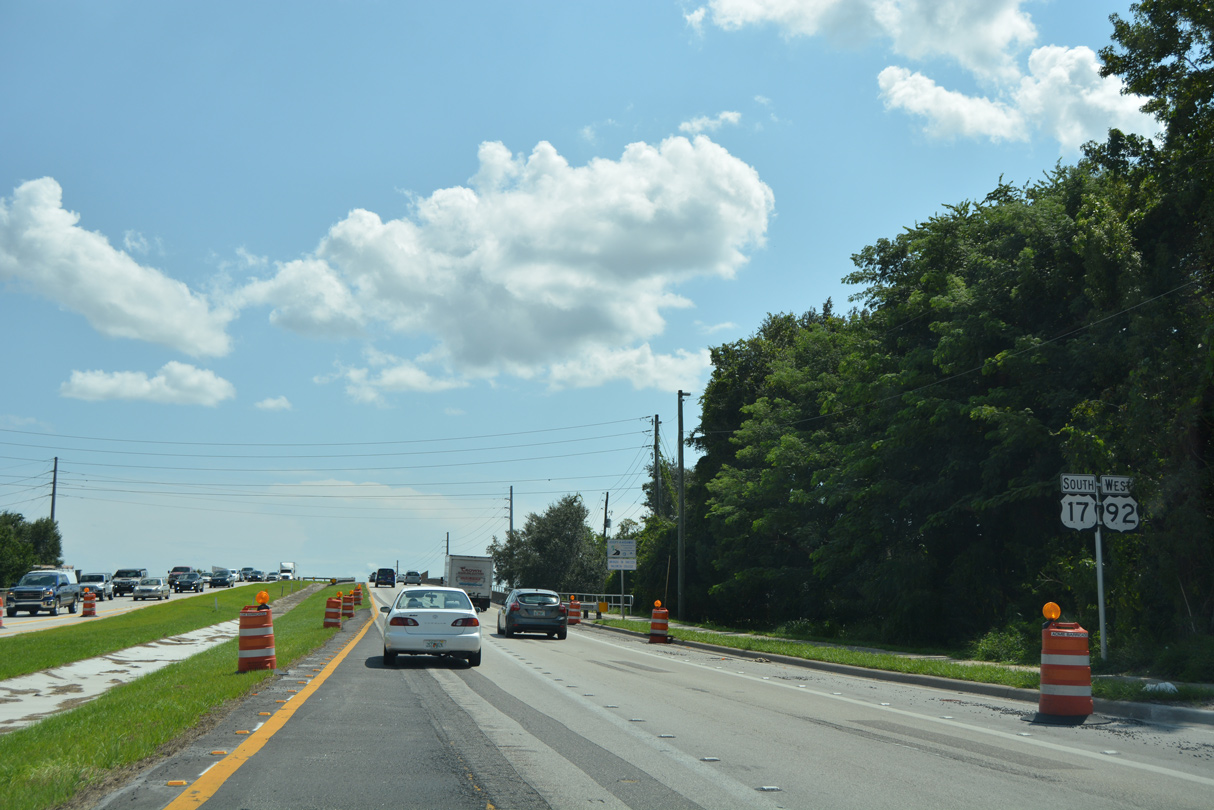
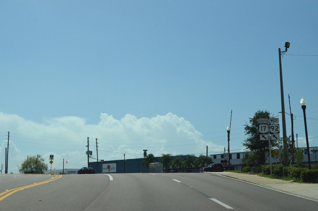
Confirming markers posted south of the separation with U.S. 192 (Vine Street) on John Young Parkway. This stretch of U.S. 17/92 formerly was named Bermuda Avenue.
09/07/16
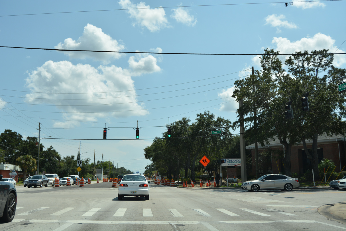
Oak Street heads west to Dyer Boulevard near Kissimmee Gateway Airport (ISM) and east to Michigan Avenue (former CR 531).
09/07/16
Martin Luther King, Jr. Boulevard runs east to a roundabout with Central Avenue outside Downtown Kissimmee and west to Kissimmee Gateway Airport (ISM).
04/05/08
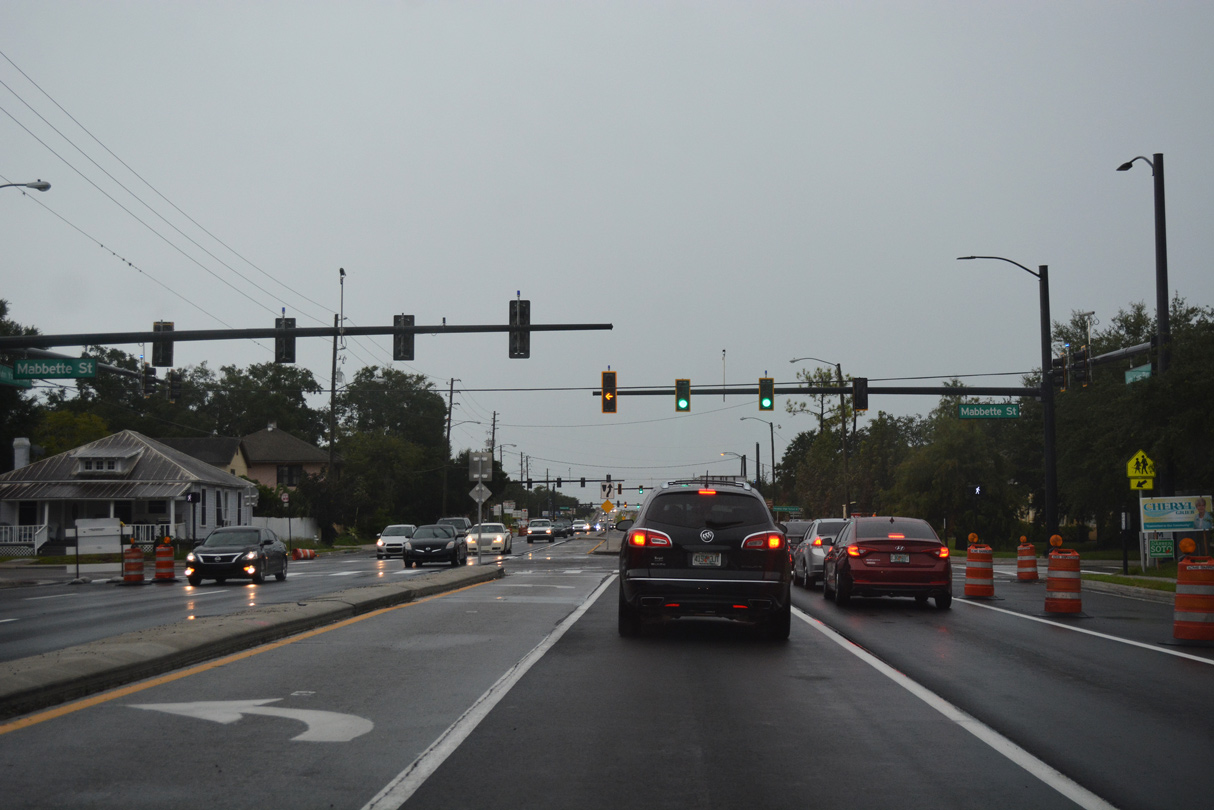
Mabette Street extends west from Church Street and Downtown Kissimmee across U.S. 17/92 to Thacker Avenue (unsigned CR 531A).
08/25/18
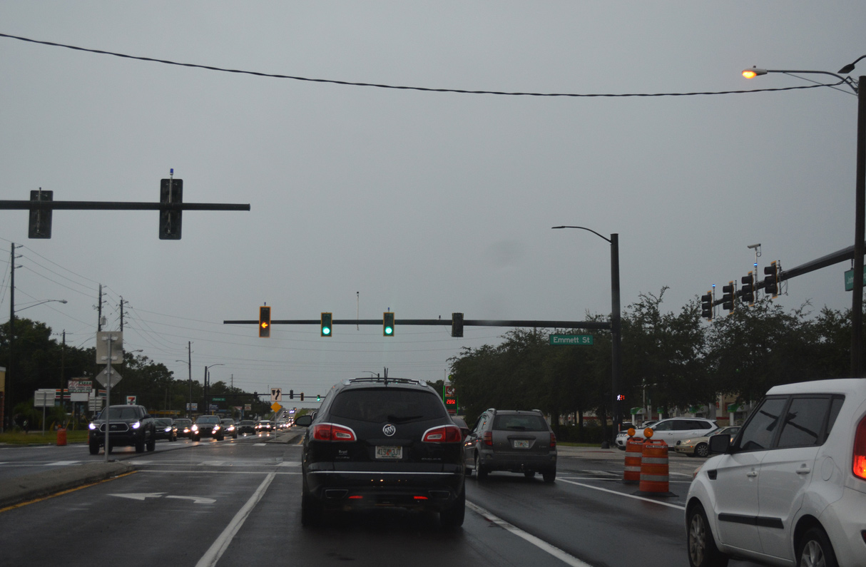
Emmett Street forms part of a loop through Downtown Kissimmee along Main Street and Broadway Avenue. Collectively the three streets were part of U.S. 17/92 prior to 2000.
08/25/18
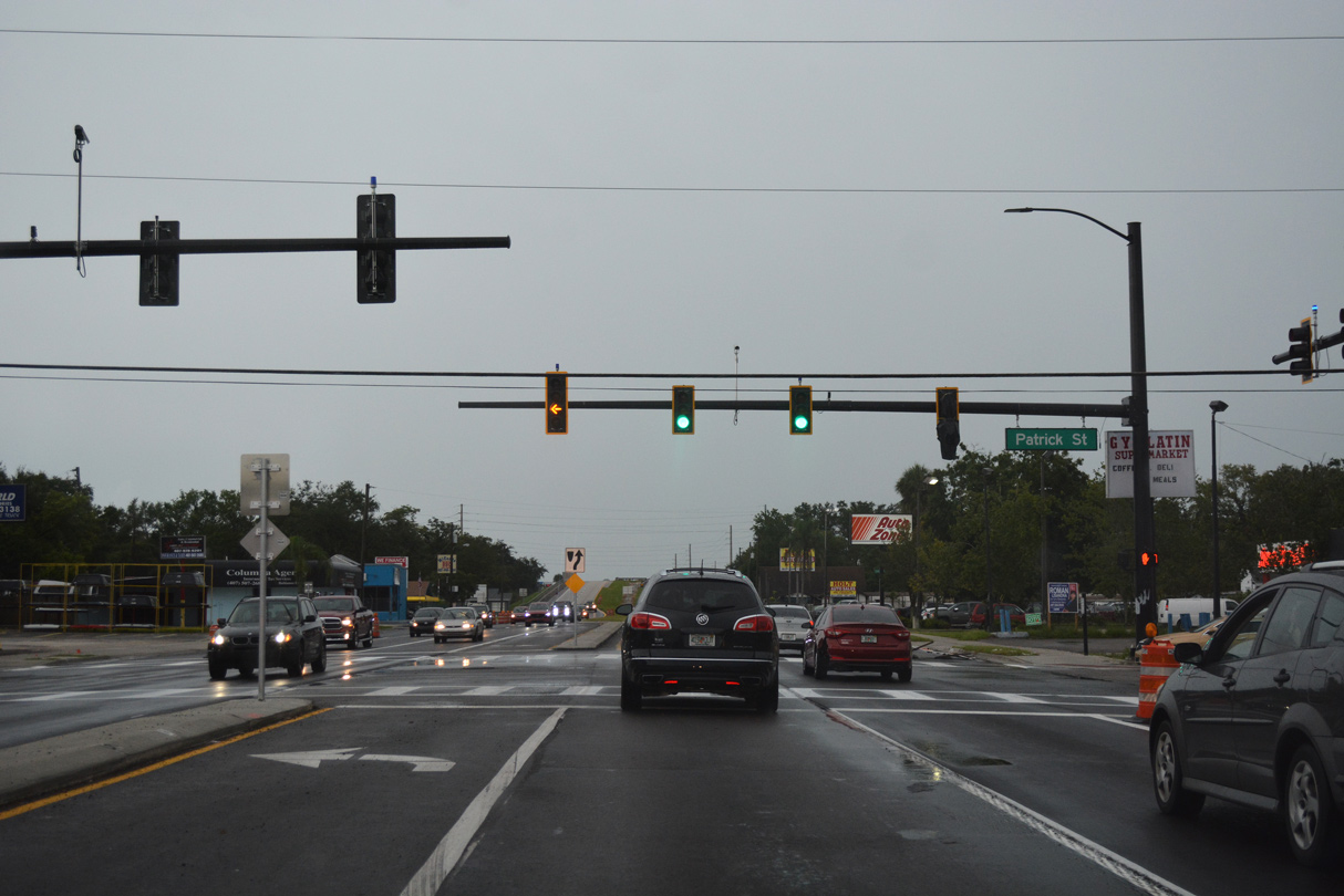
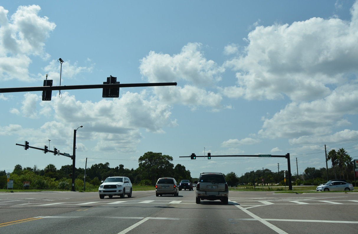
Patrick Street intersects John Young Parkway east from Osceola High School.
08/25/18
U.S. 17/92 ascend across Clay Street (unsigned CR 531) and a CSX Railroad line south from Portage Street.
09/07/16
09/07/16
09/07/16
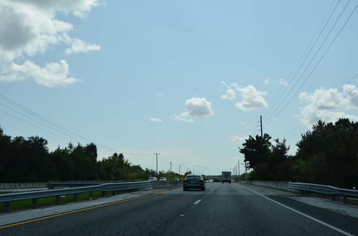
U.S. 17/92 curve southwest across Shingle Creek. Shingle Creek flows east into Lake Tohopekaliga.
09/07/16
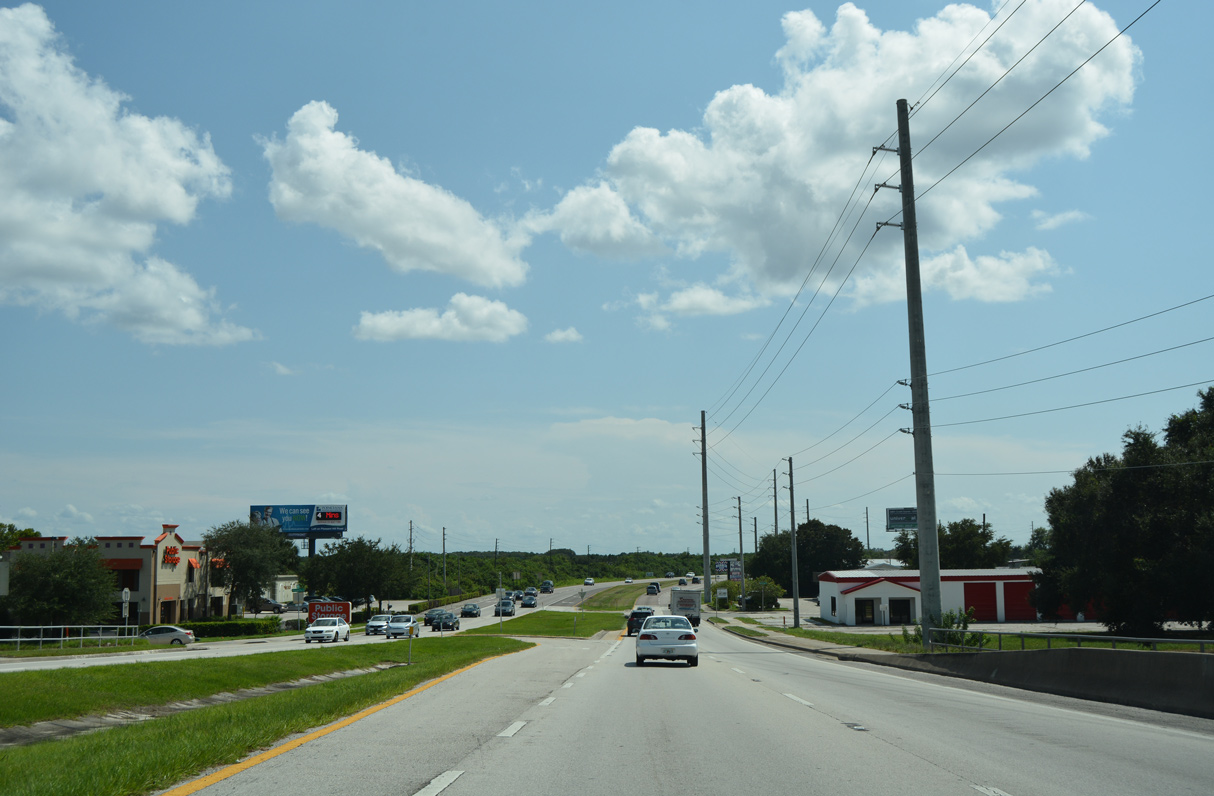
The Oaks Boulevard represents the lone entrance to the Oaks Golf Club & Community.
09/07/16
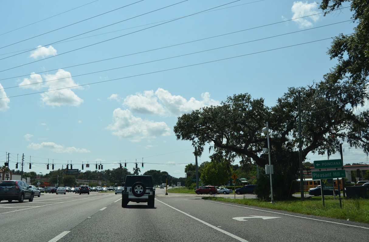
Pleasant Hill Road (unsigned CR 531) constitutes a major arterial route connecting Kissimmee with the Poinciana community to the south.
09/07/16
09/07/16
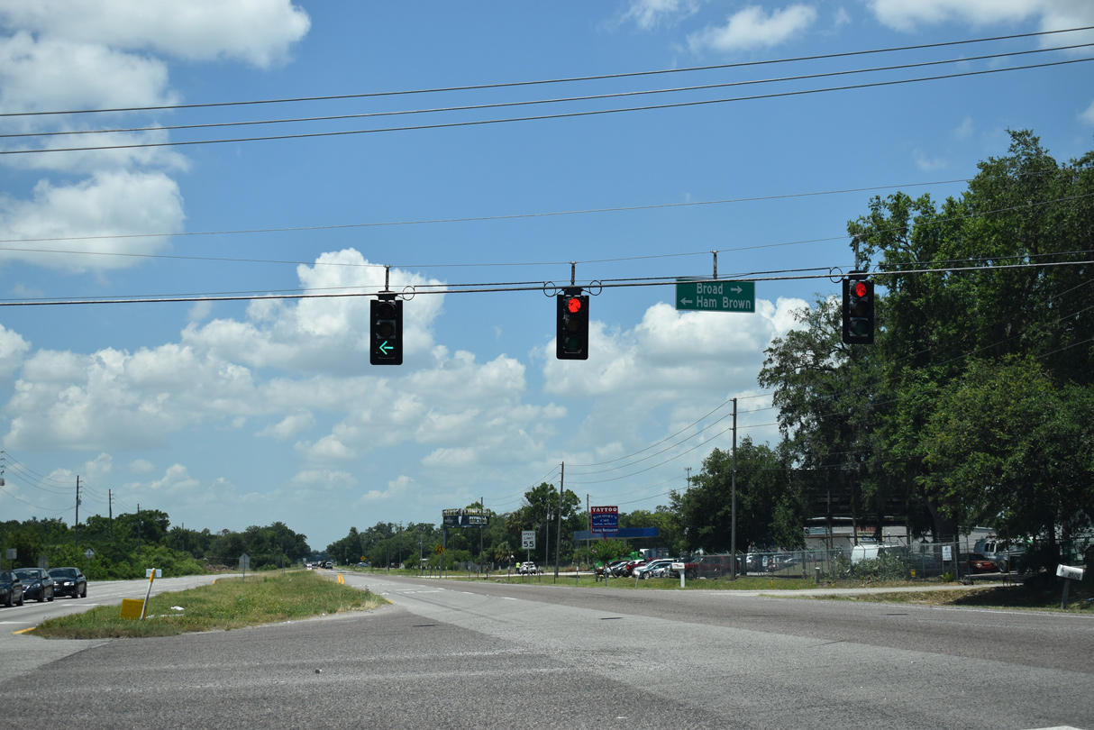
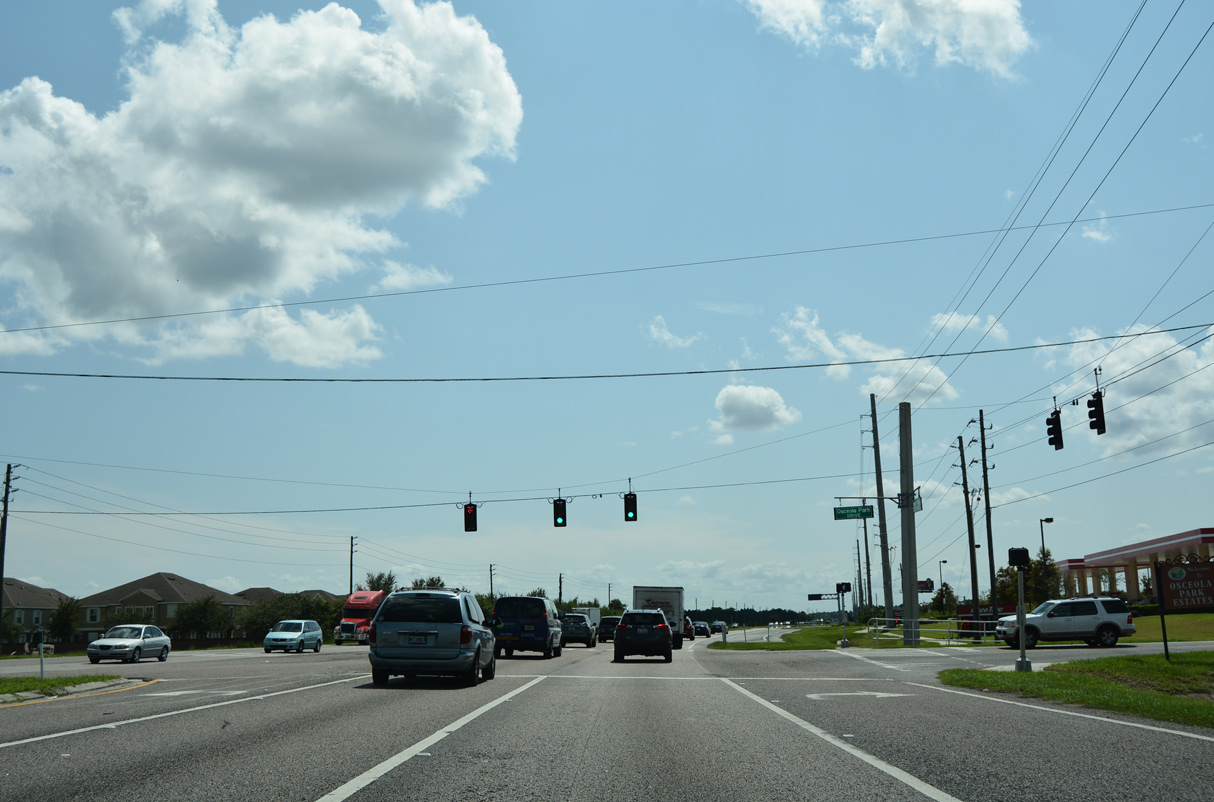
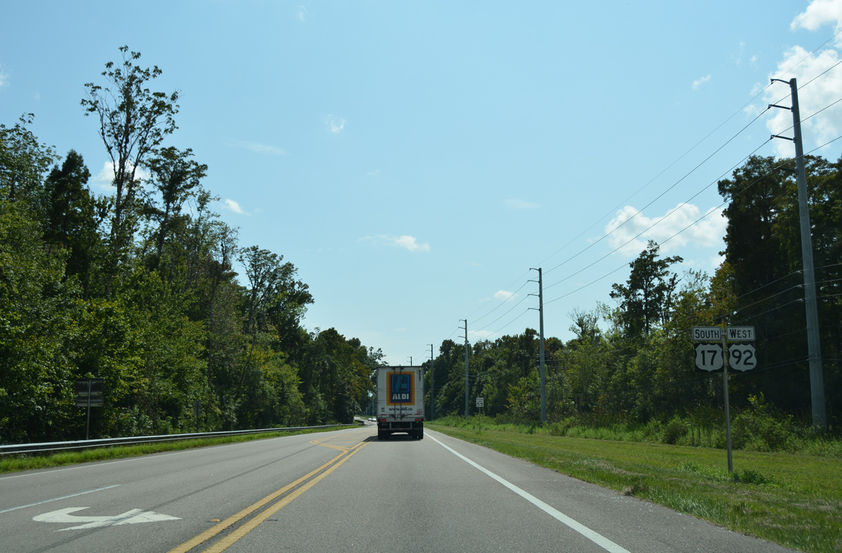
Ham Brown Road (CR 535) represents the second of three routes heading south from U.S. 17/92 to Poinciana. Broad Street stems north from Ham Brown Road into the Campbell community.
05/30/19
$24.1 million in construction underway from early 2019 to Summer 2022 expanded a 2.22 mile long stretch of U.S. 17/92 west from Ham Brown Road (CR 531) to four lanes.
09/07/16
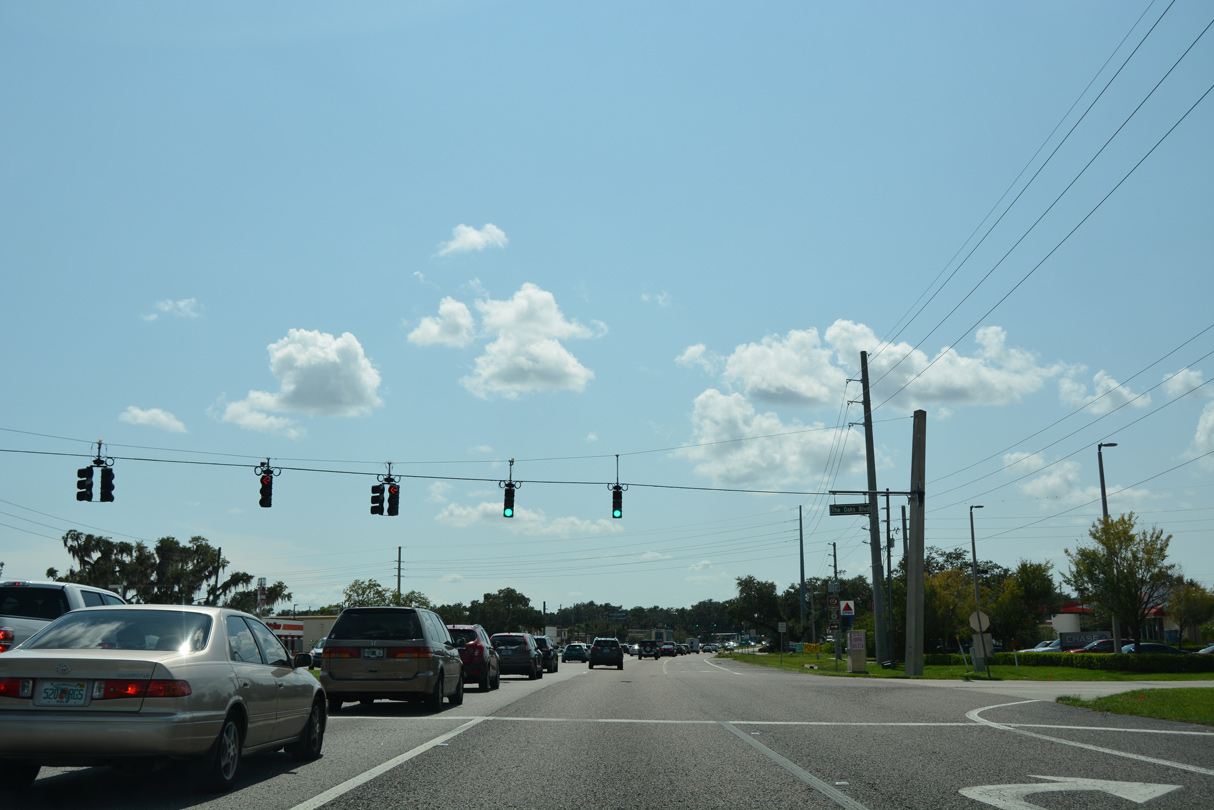
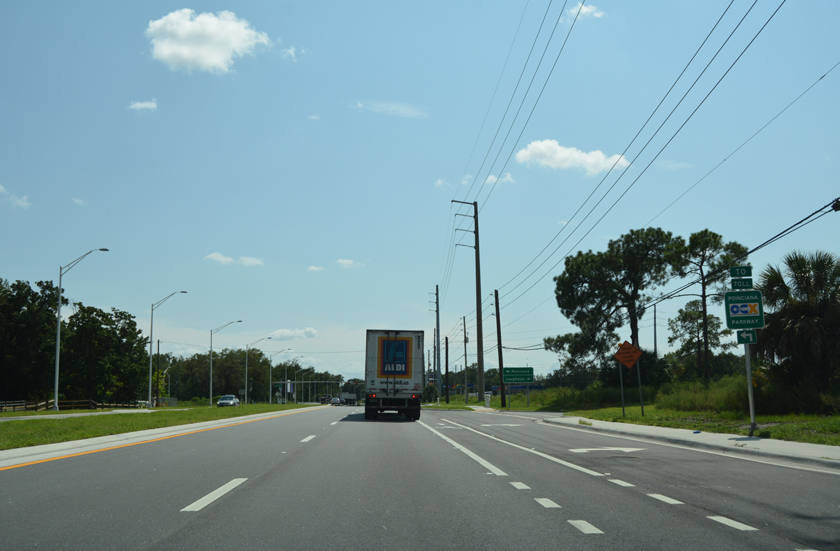
Poinciana Boulevard weaves northward to Osceola Parkway (CR 522) and south to Pleasant Hill Road (CR 531) in Poinciana.
09/07/16
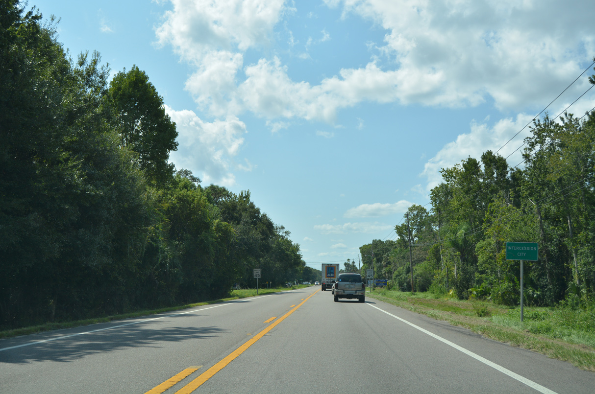
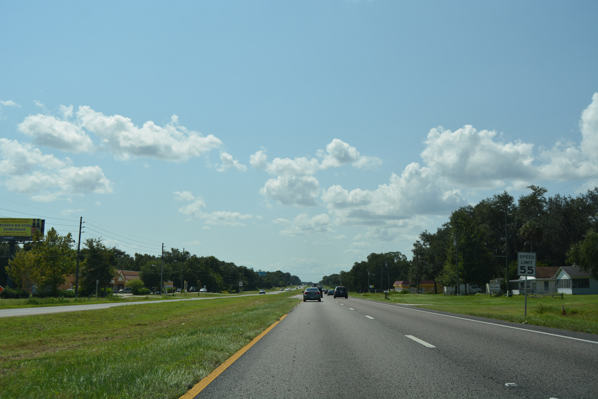
U.S. 17/92 narrow to two lanes ahead of Intercession City.
09/07/16

09/07/16
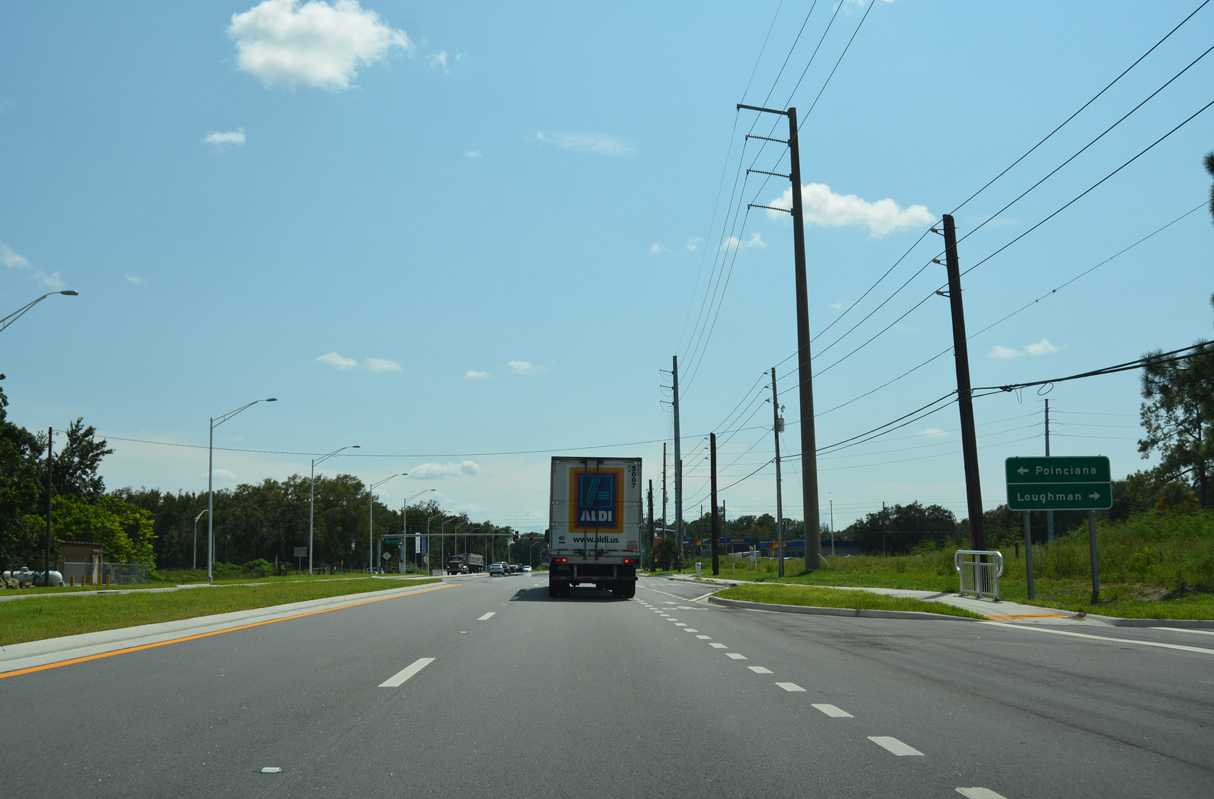
Crossing Reedy Creek, U.S. 17/92 make a gradual southwestern turn ahead of Loughman.
09/07/16
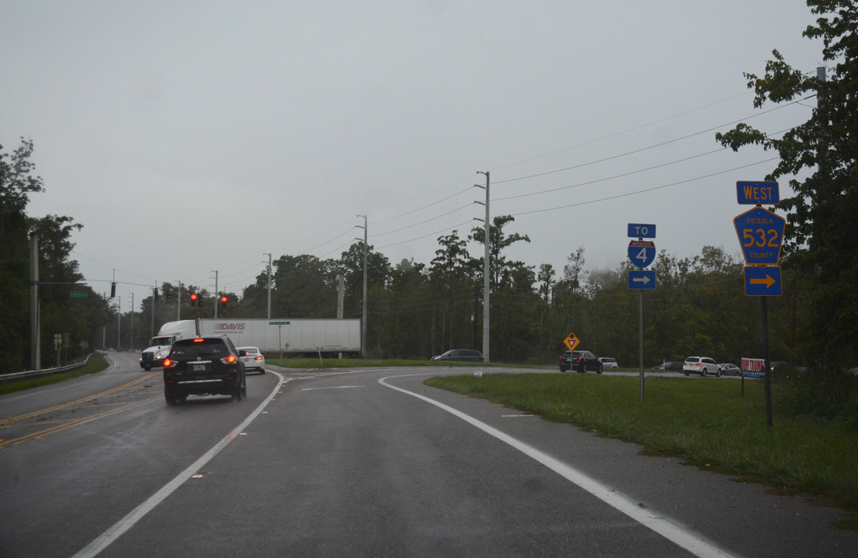
CR 532 (Osceola Polk Line Road) branches west 4.40 miles to Interstate 4 at Champions Gate.
08/25/18
09/07/16
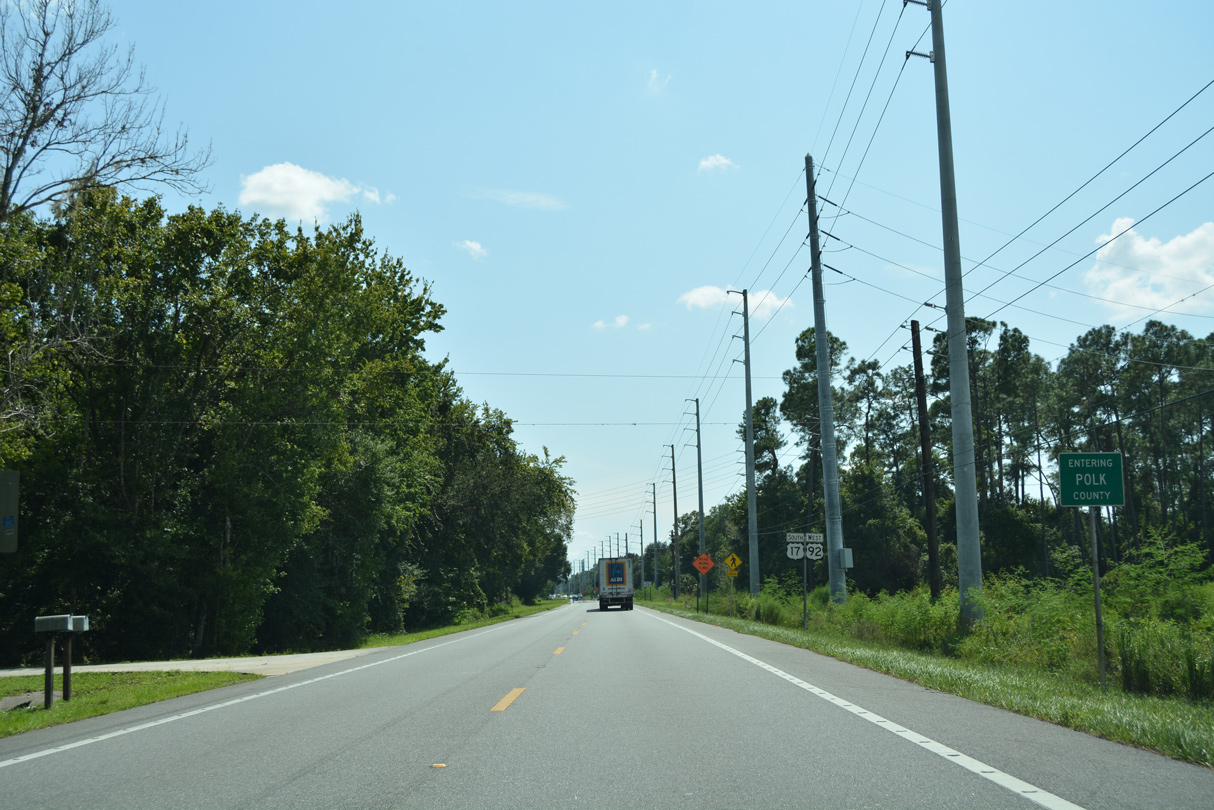
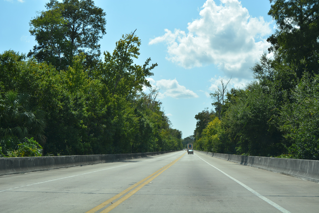
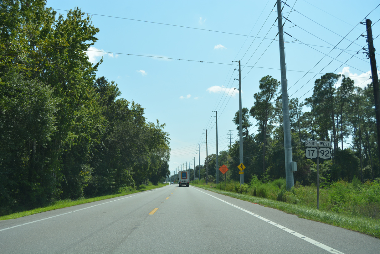
U.S. 17/92 continue southwest into Polk County west of Reedy Creek Swamp.
09/07/16
09/07/16
Ronald Reagan Parkway links U.S. 17/92 with SR 538 (Poinciana Parkway) south to Poinciana.
09/07/16
Ronald Reagan Parkway (CR 54) continues 6.43 miles west from U.S. 17/92 and Loughman to U.S. 27 at Dean Still Road.
09/07/16
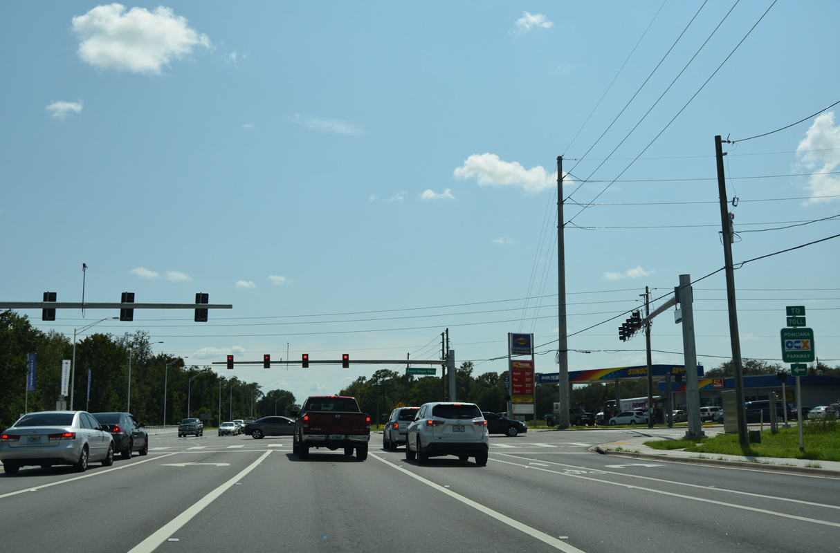
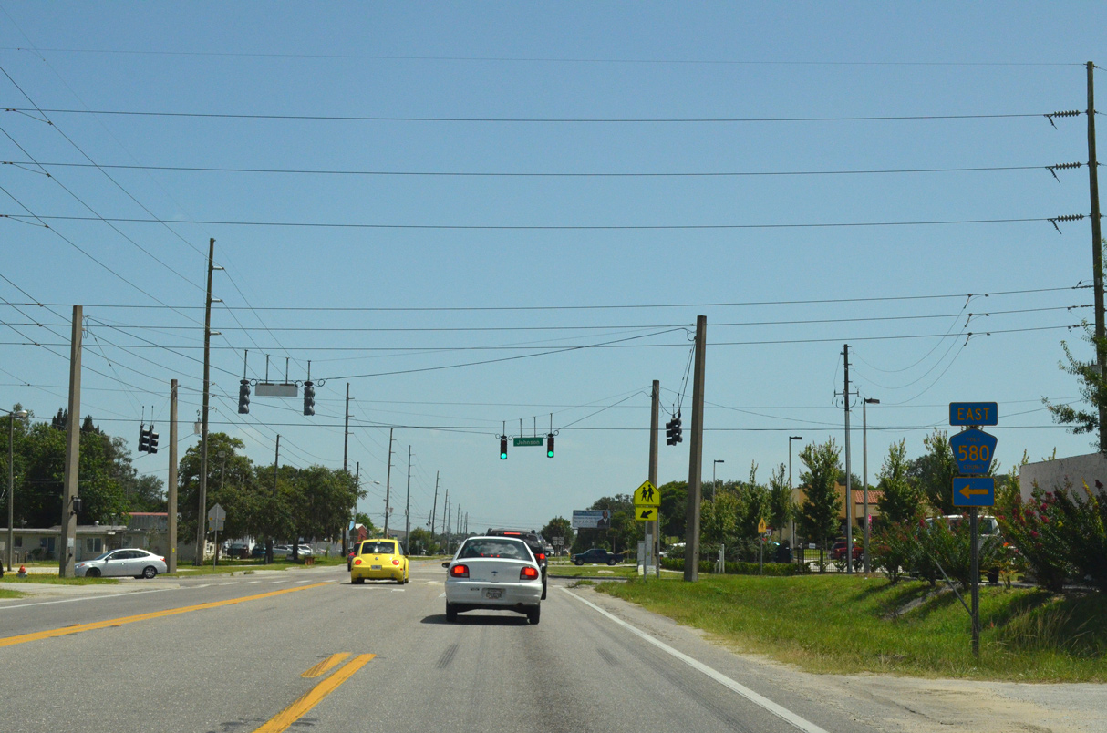
Operated by the Central Florida Expressway Authority (CSX), Poinciana Parkway opened to traffic south to Marigold Avenue in Poinciana on April 30, 2016. SR 538 was extended further to Cypress Parkway (CR 580) seven months later.
09/07/16
08/10/13
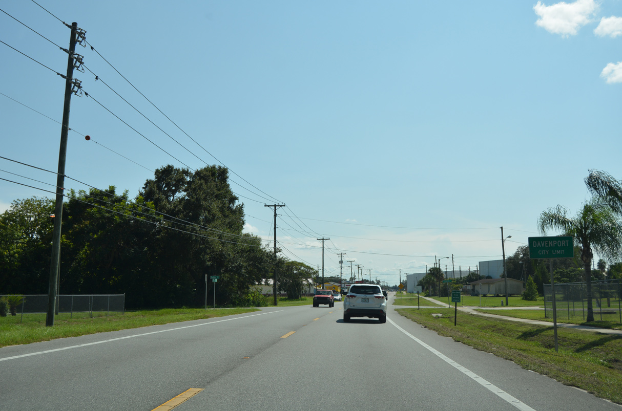
U.S. 17/92 south enter the city of Davenport at Fuller Street.
09/07/16
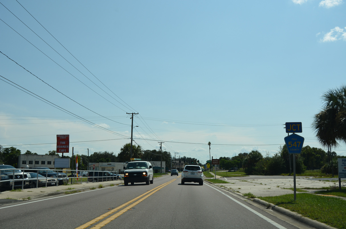
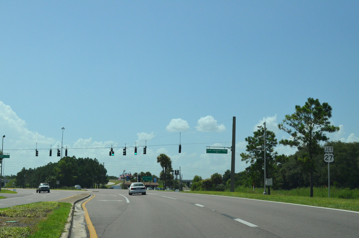
CR 547 (Lee Jackson Highway) parallels U.S. 17/92 south into Davenport along a CSX Railroad line. CR 547 turns west away from U.S. 17/92 along Bay Street.
09/07/16
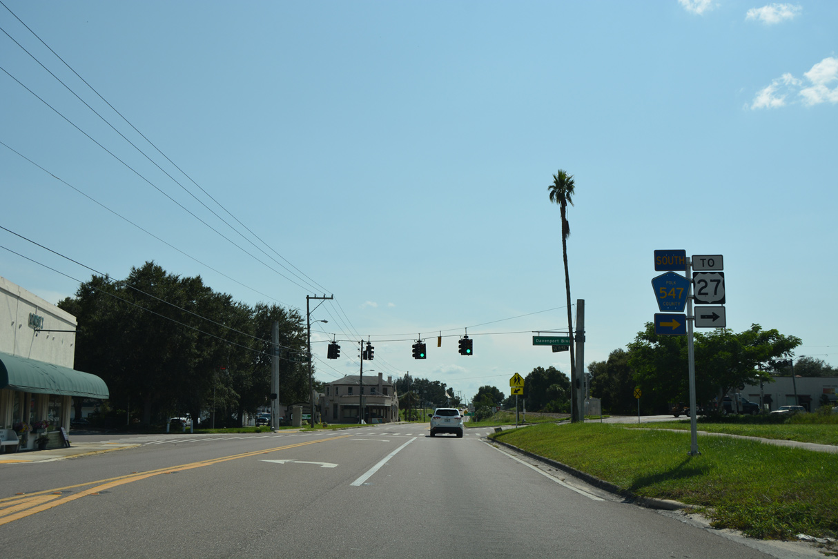
CR 547 continues west from Bay Street onto Davenport Boulevard, concluding in 2.2 miles at U.S. 27 in north Haines City.
09/07/16
08/10/13
08/10/13
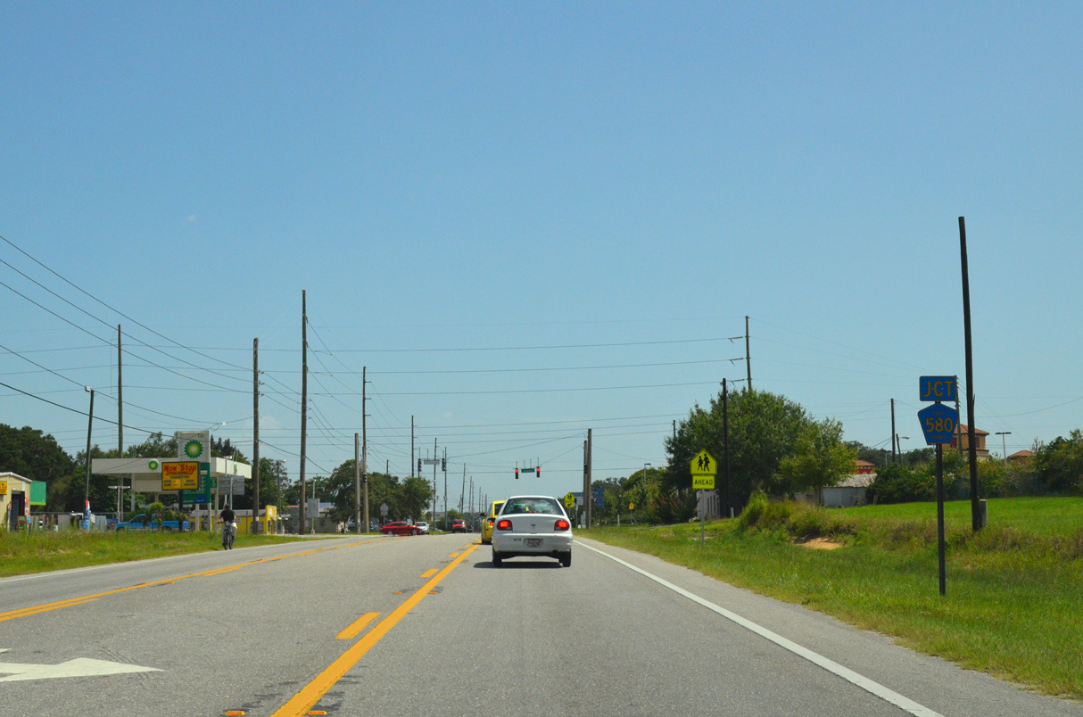
CR 580 (Johnson Avenue) connects Haines City with Poinciana along a 9.99 mile long course east.
08/10/13
08/10/13
05/30/19
U.S. 17/92 turn west onto Hinson Avenue at 17th Street.
05/30/19
These overhead shields for U.S. 17/92 ahead of Hinson Avenue were removed during a repaving project completed in 2014.
08/10/13
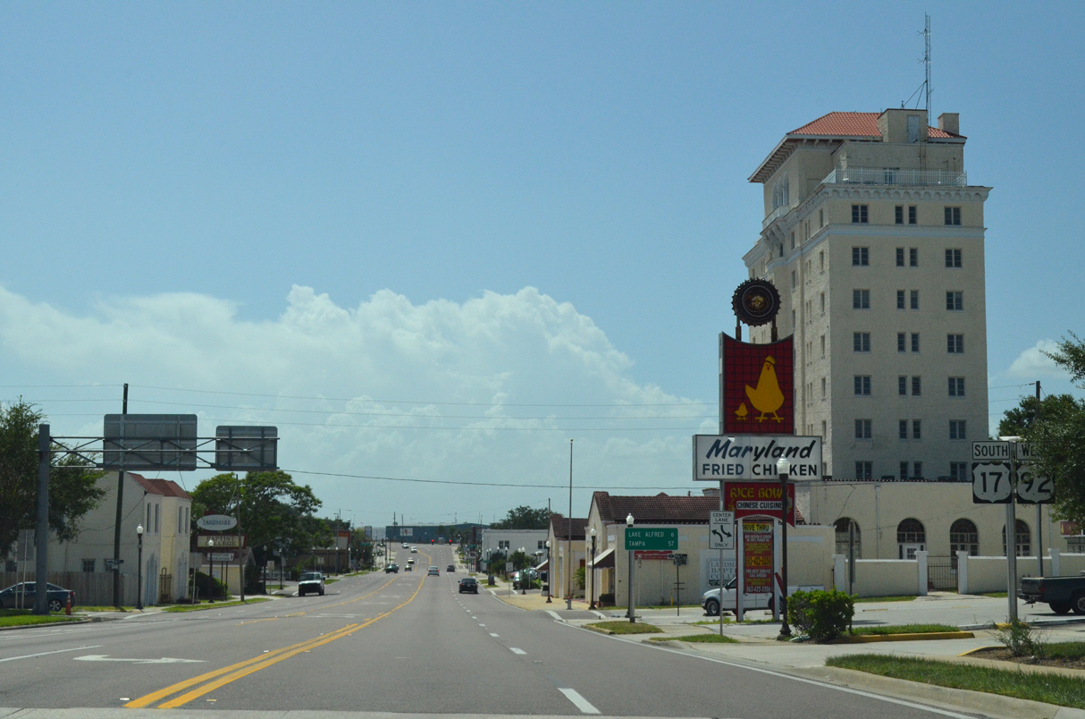
Hinson Avenue leads U.S. 17/92 into Downtown Haines City. Hinson Avenue east continues toward Lake Marion.
05/30/19
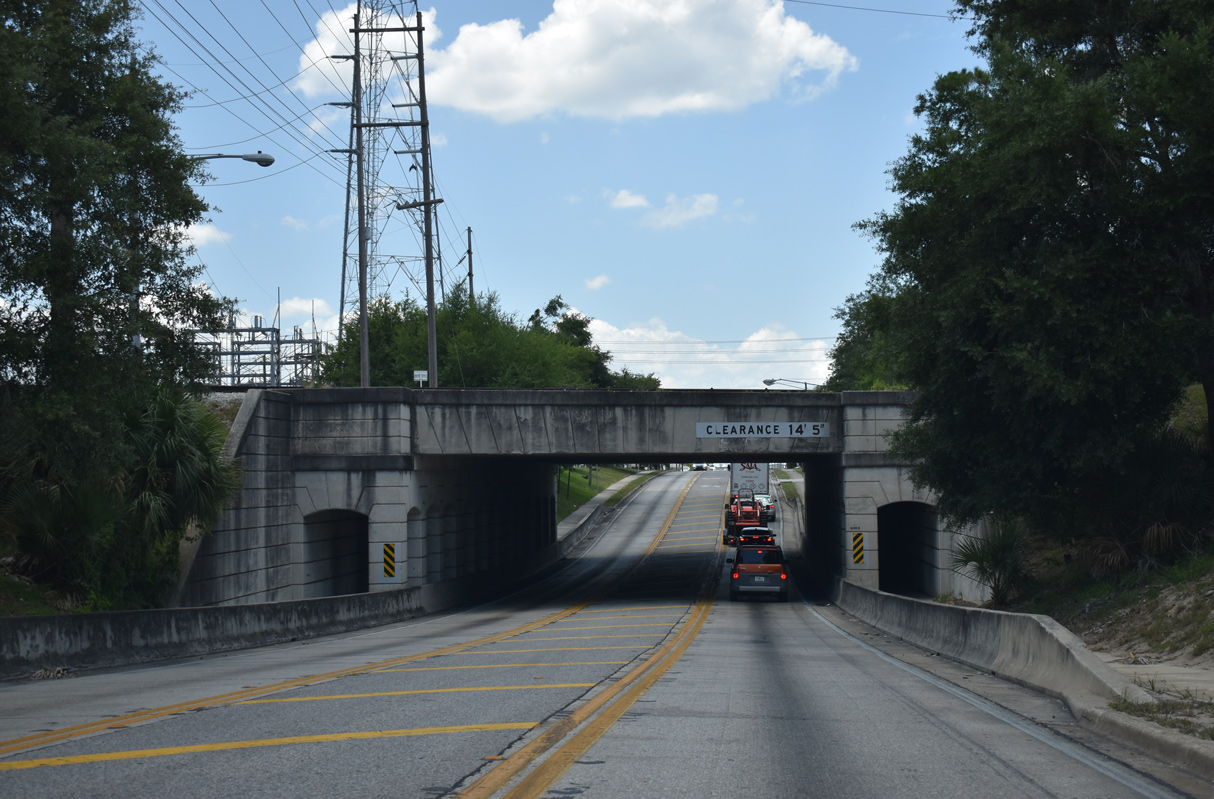
Hinson Avenue passes below a bridge built for the Atlantic Coast Line (ACL) in 1939.
05/30/19
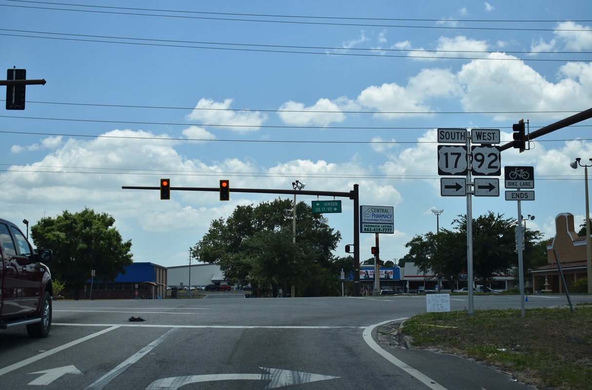
U.S. 17/92 (Hinson Avenue) next intersects the north end of SR 17 at 10th Street.
05/30/19
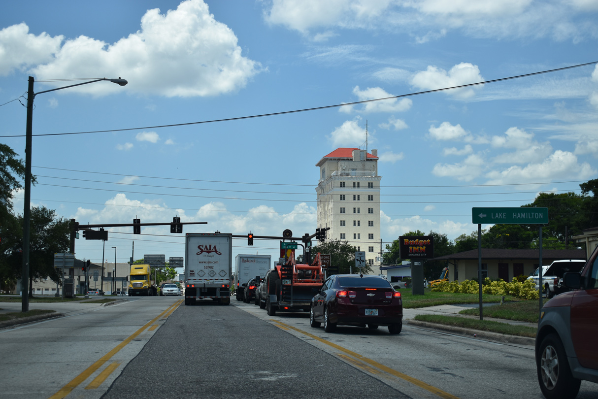
Formerly designated as U.S. 27 ALT, SR 17 parallels U.S. 27 south to the town of Lake Hamilton.
05/30/19
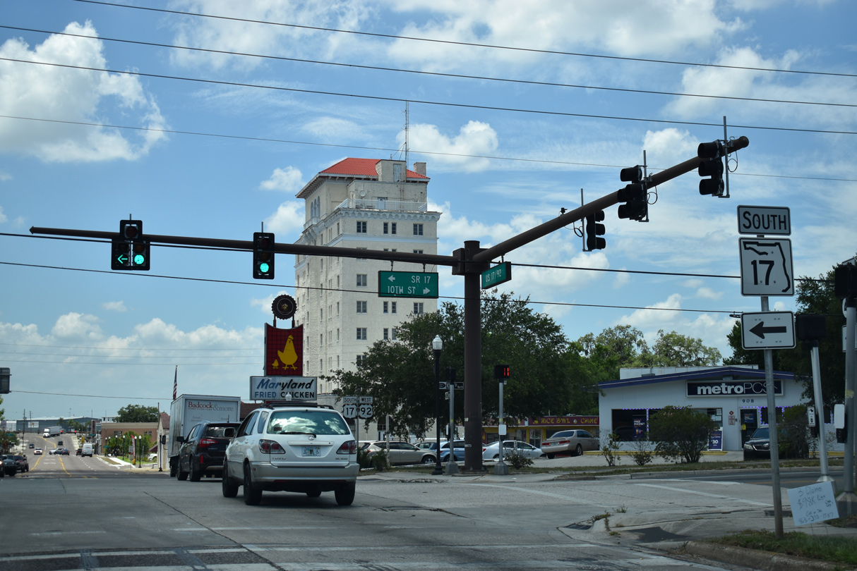
The branch of SR 17 in Polk County travels 34.88 miles overall from Haines City to U.S. 27/98 south of Frostproof.
05/30/19
08/10/13
08/10/13
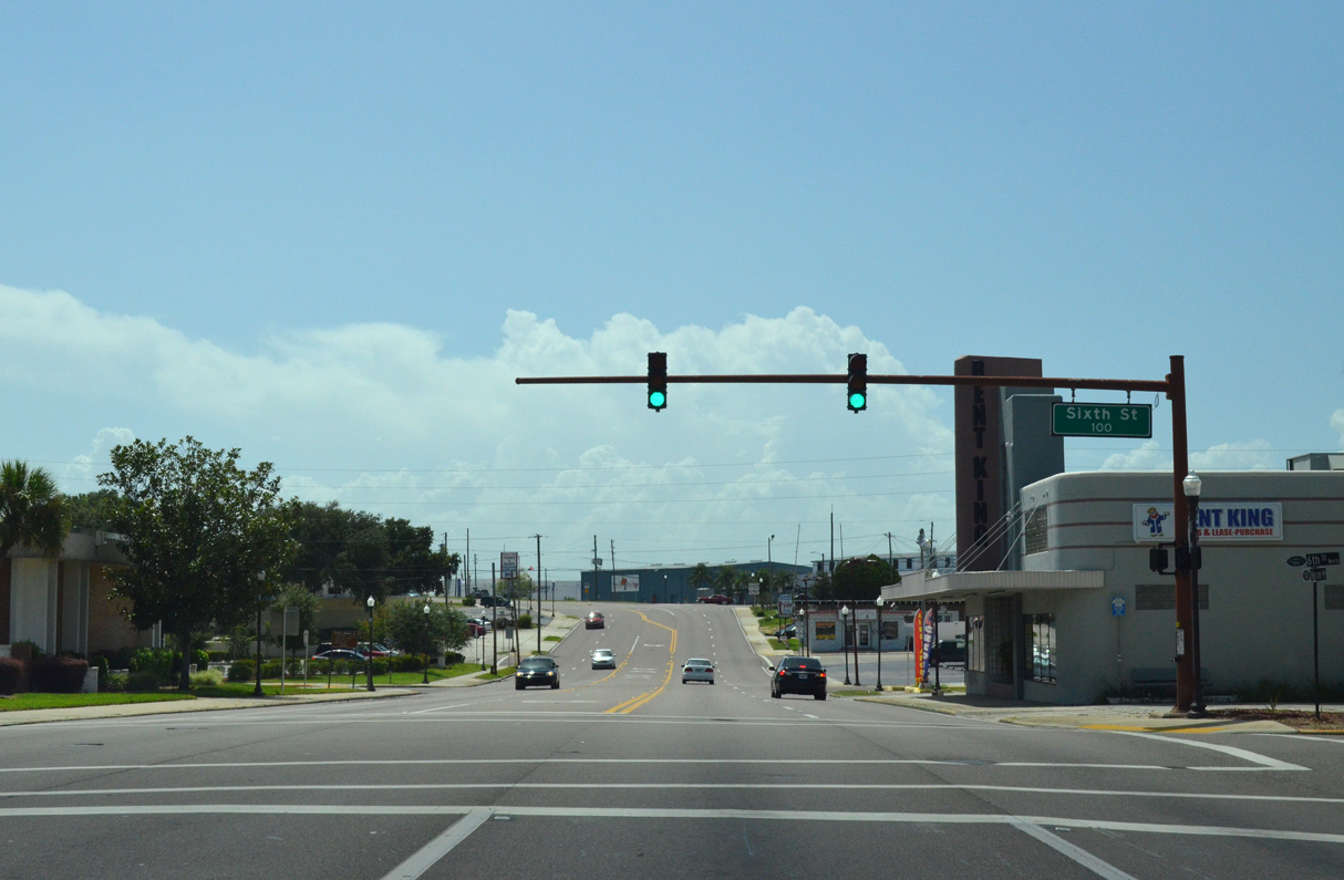
U.S. 17/92 (Hinson Avenue) shift southward to pass between Lake Tracy and Lake Eva at 3rd Street.
08/10/13
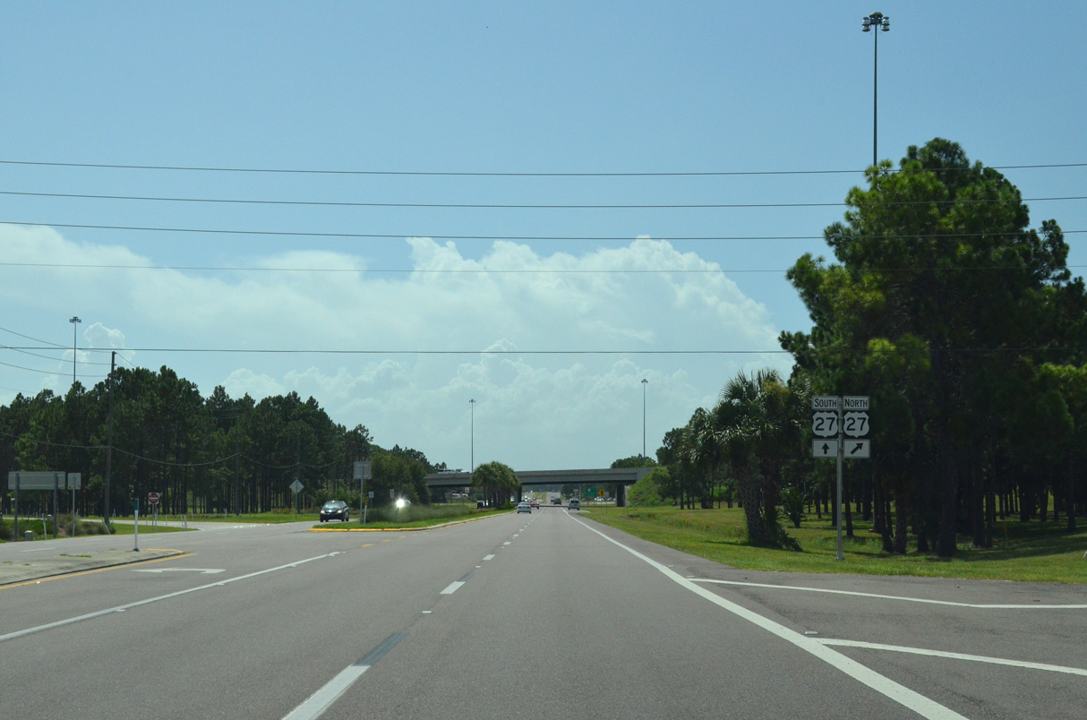
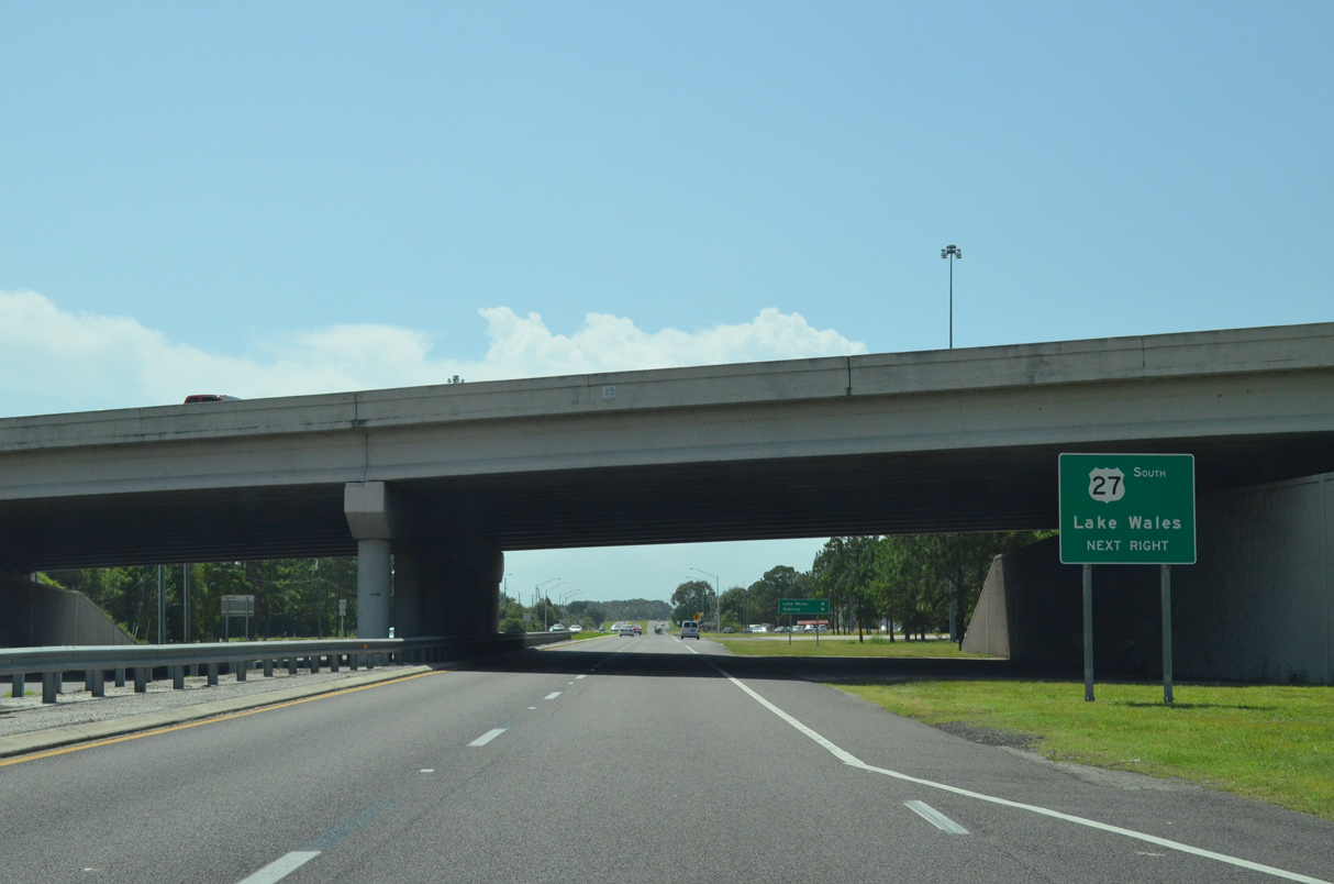
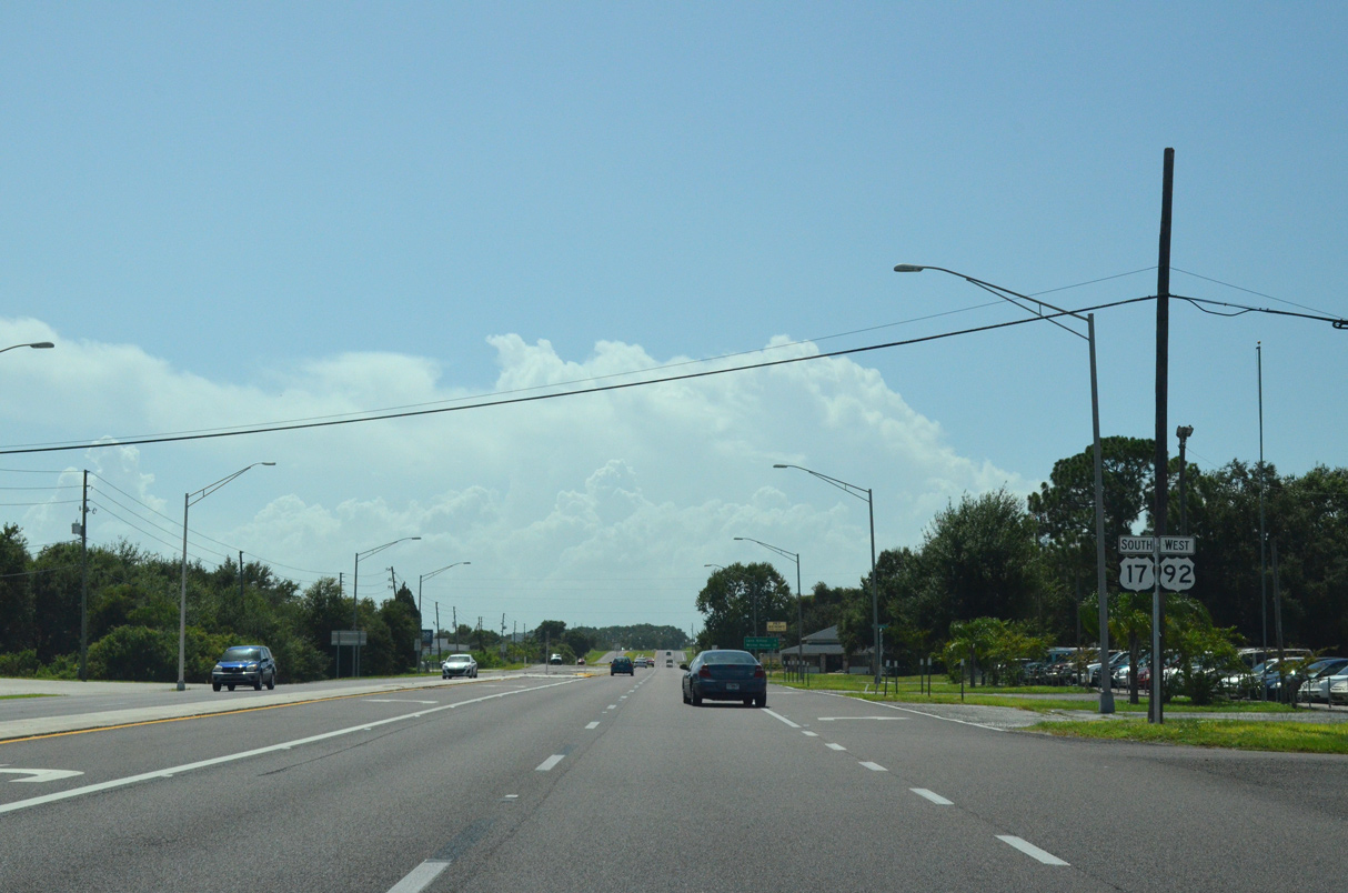
U.S. 17/92 enters a cloverleaf interchange with U.S. 27 beyond the traffic light with Lee Jackson Highway and Haines City Mall shopping center.
08/10/13
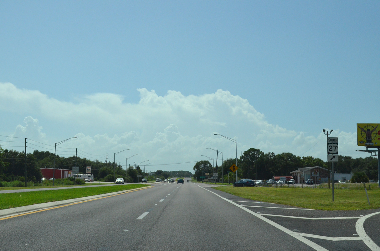
U.S. 27 constitutes a heavily developed corridor north from Haines City to Four Corners and Clermont.
08/10/13
U.S. 27 travels south to SR 60 at Lake Wales and with U.S. 98 to Avon Park and Sebring.
08/10/13
08/10/13
08/10/13
08/10/13
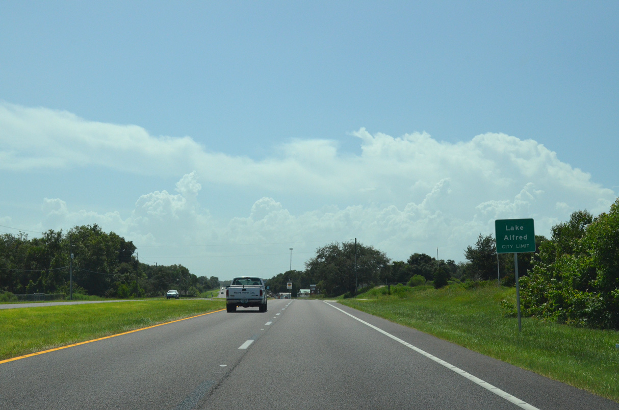
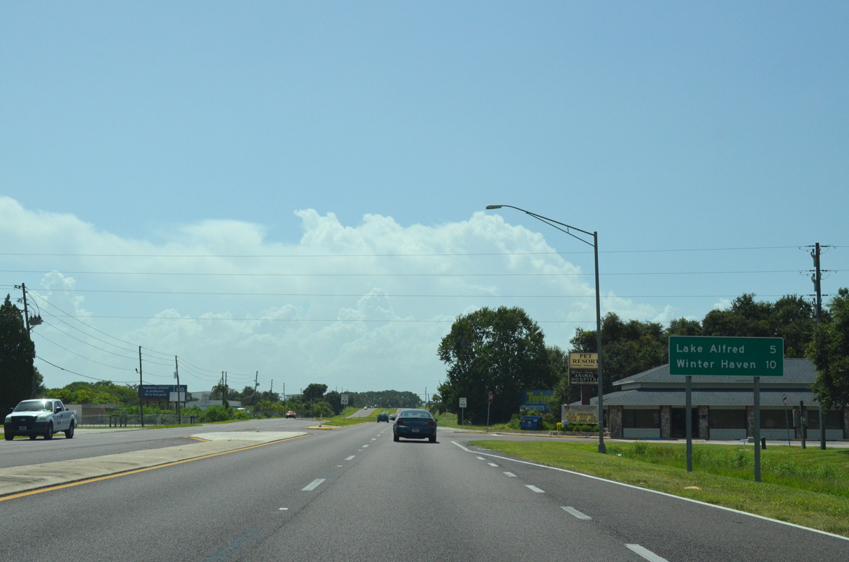
Passing north of Lake Haines, U.S. 17/92 westbound enter the city of Lake Alfred.
08/10/13
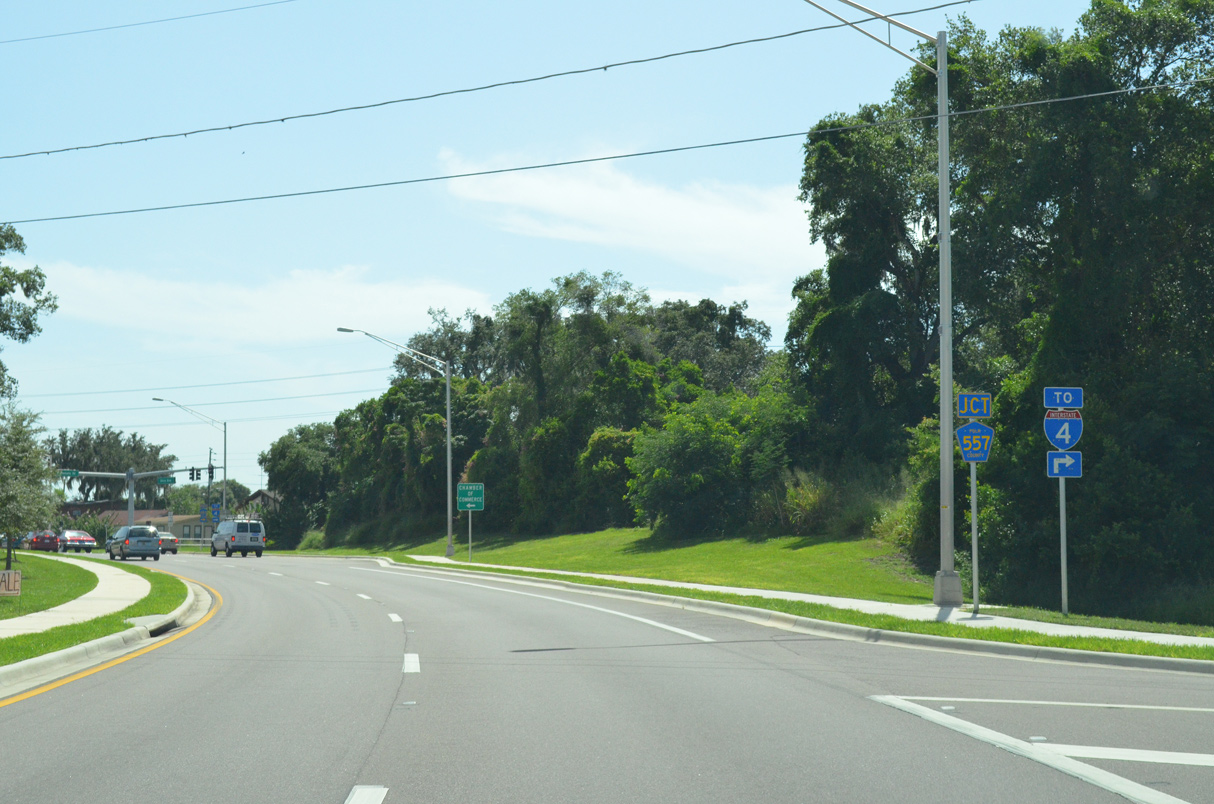
U.S. 17/92 partition into a couplet of Shinn Boulevard south and Lake Shore Way north ahead of CR 557 and the Lake Alfred business district.
08/10/13
08/10/13
A pair of reassurance markers stand along Shinn Boulevard south of Haines Boulevard.
08/10/13
12/21/11
Curving southwest between CR 555 and Lake Rochelle, U.S. 17/92 (Lake Shore Way) part ways at forthcoming Lake Alfred Road.
08/10/13
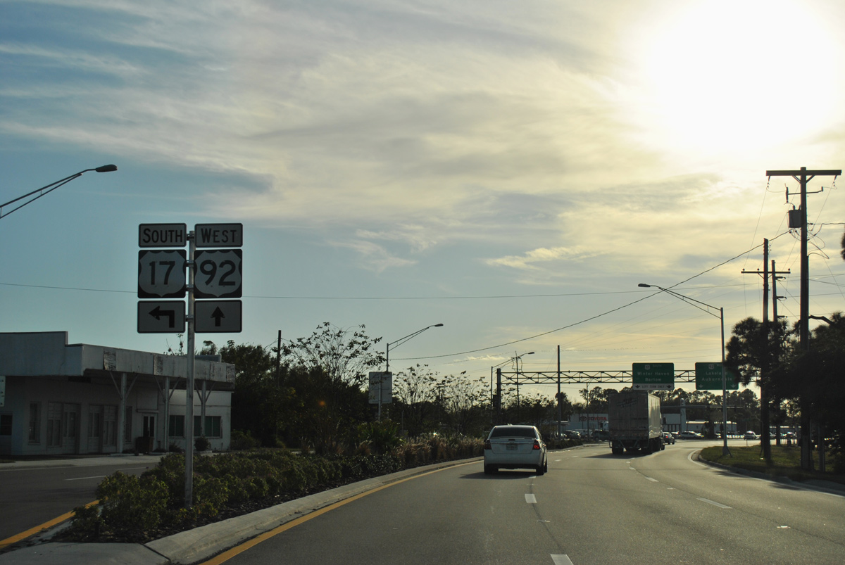
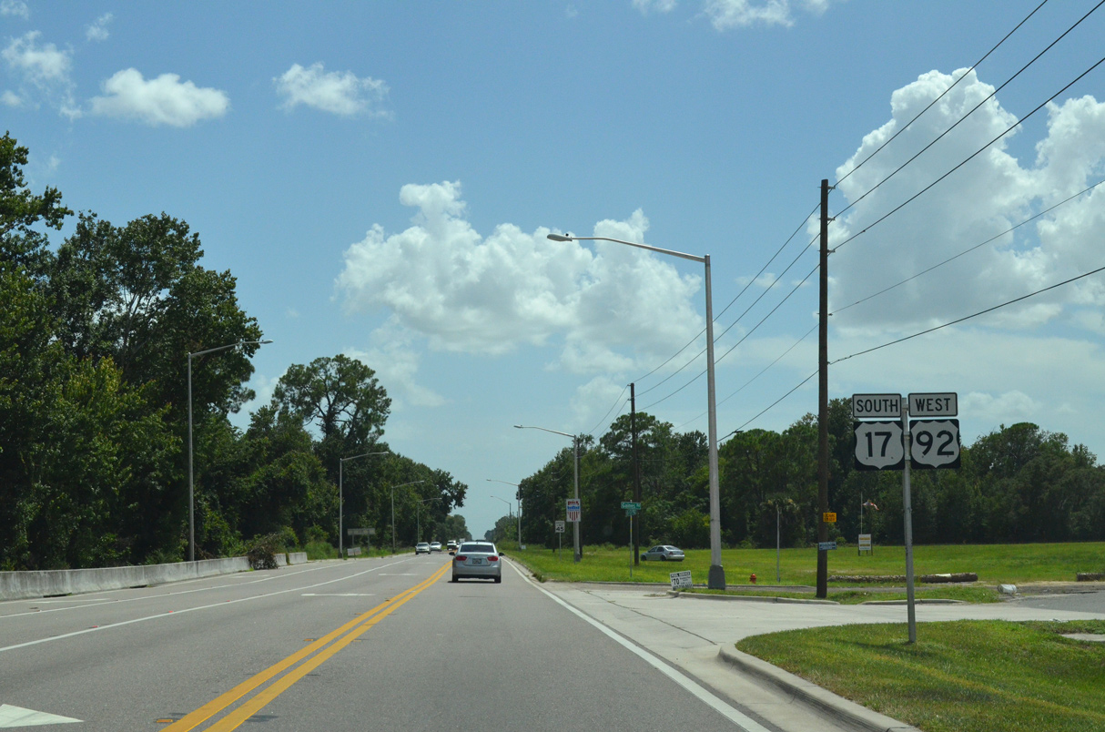
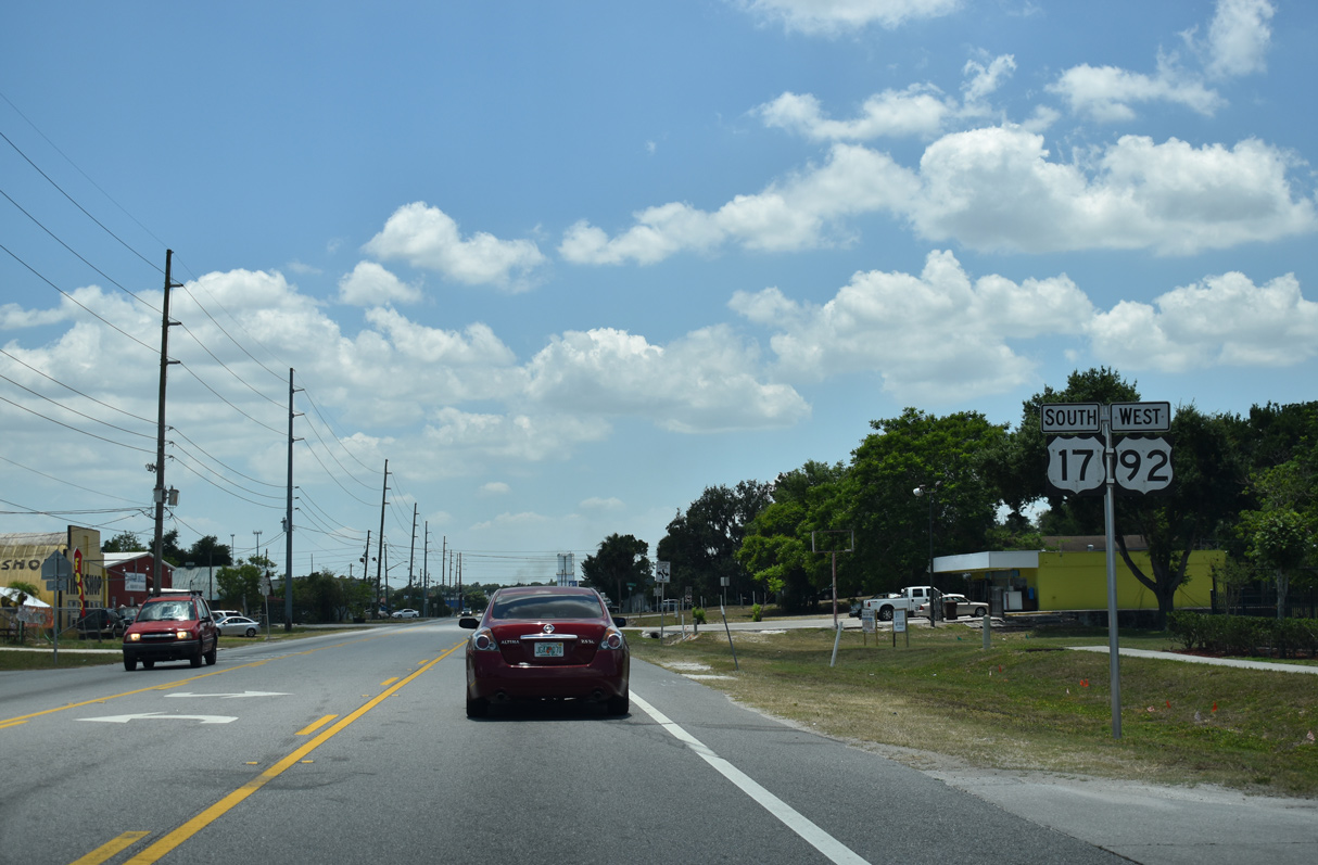
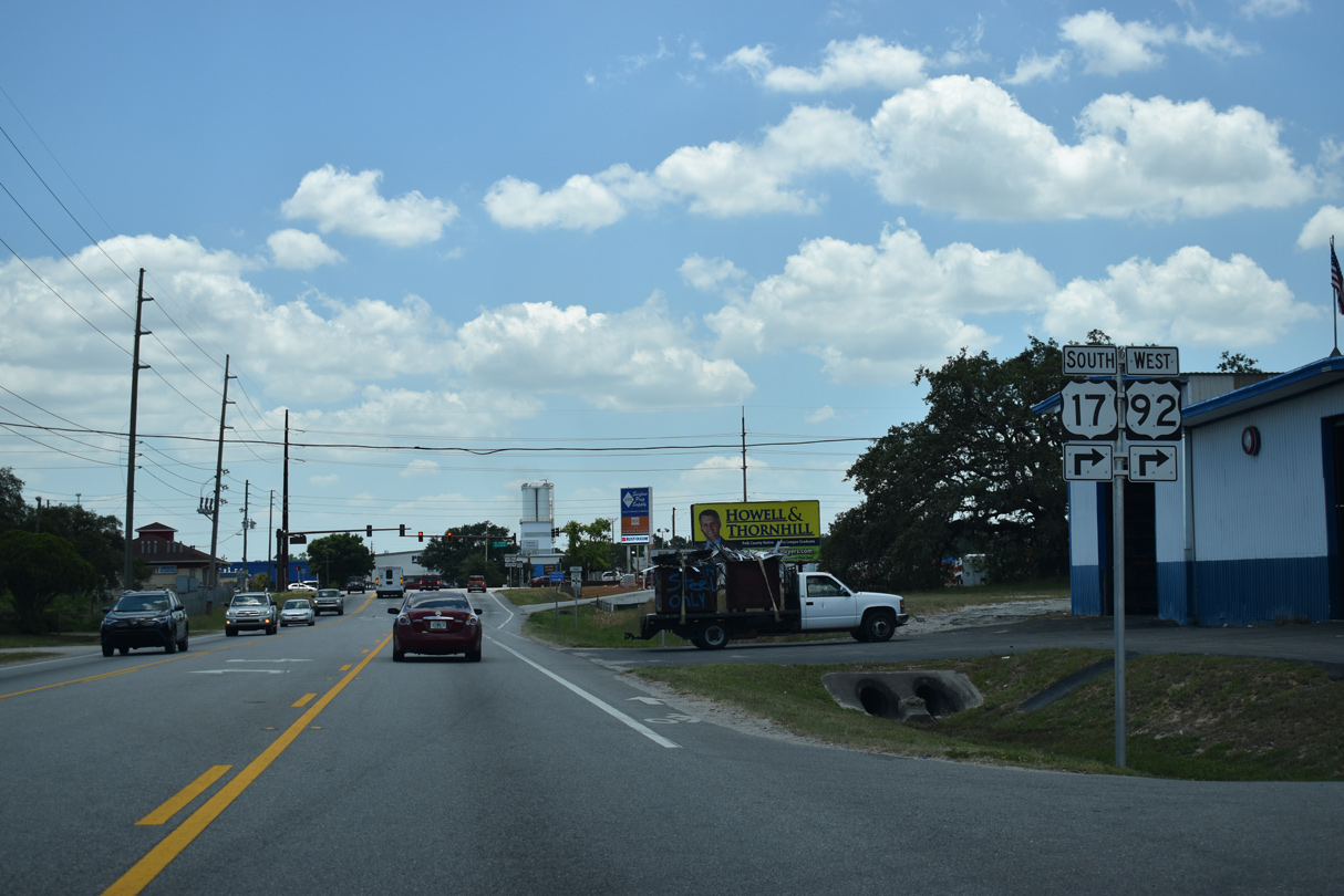
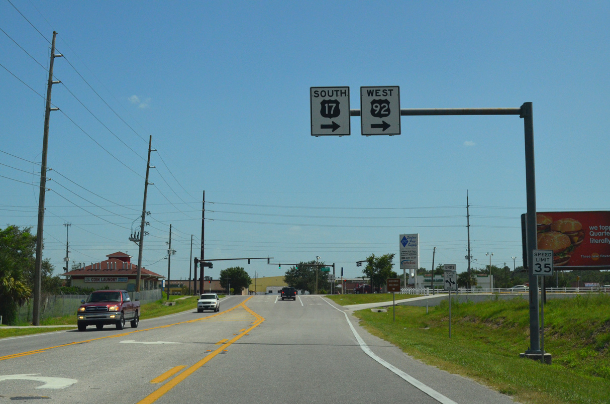
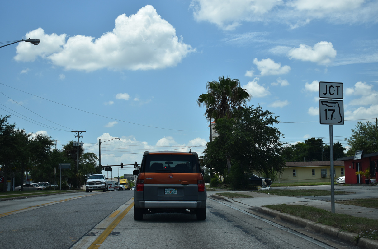
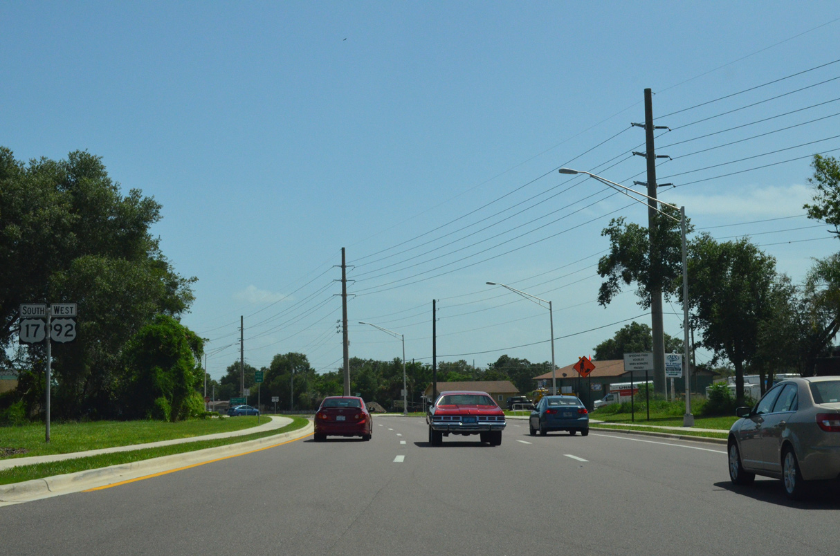
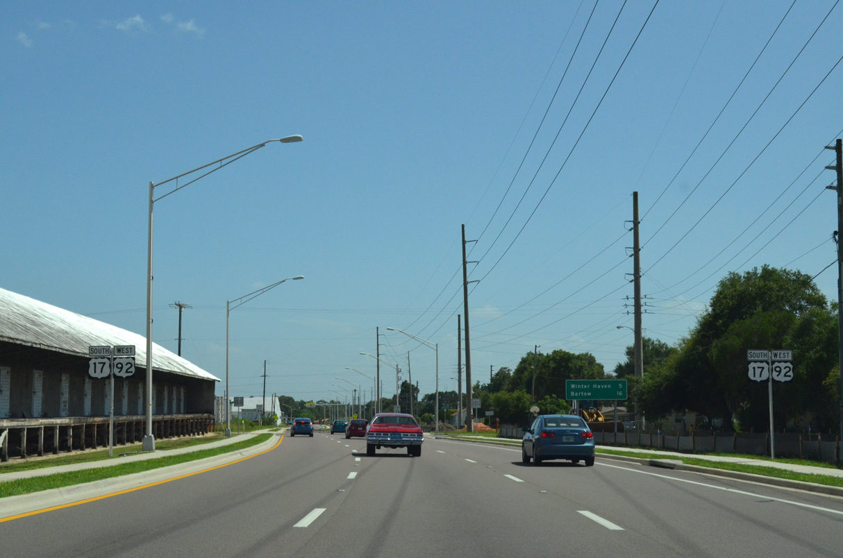
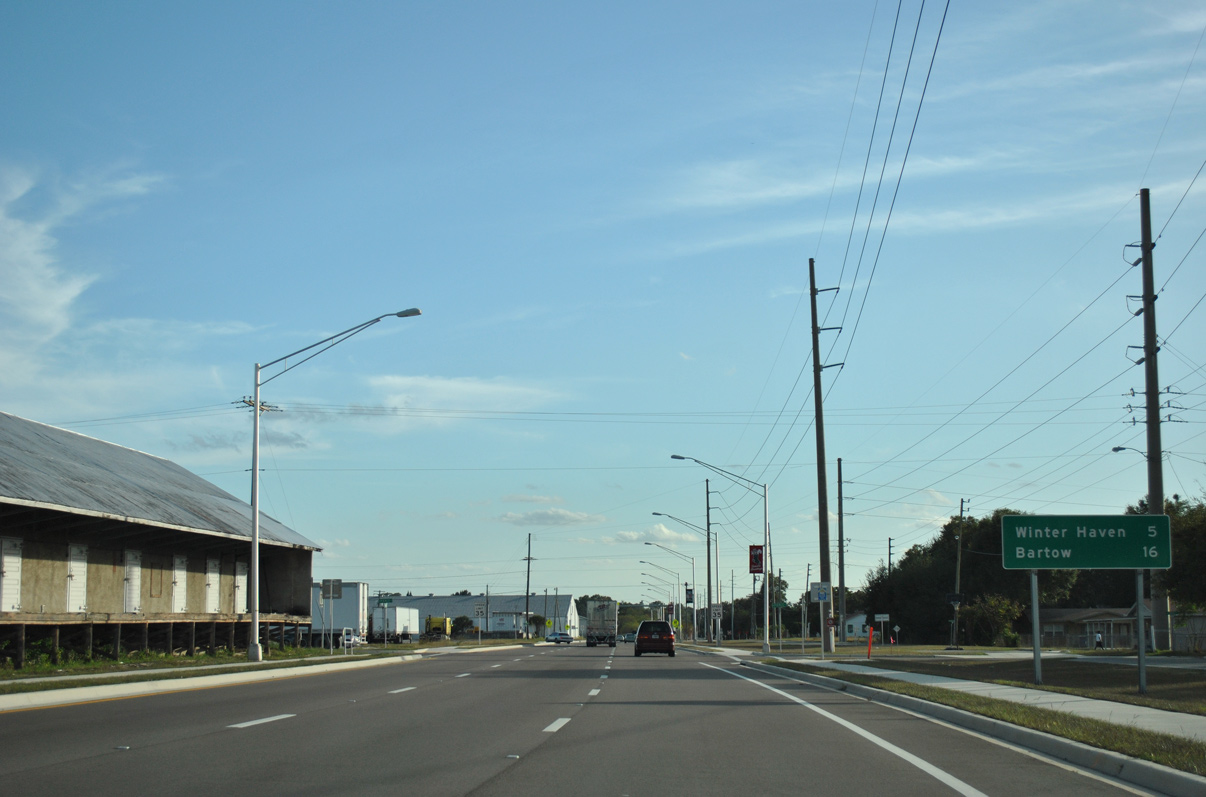
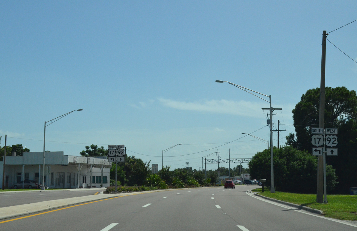
U.S. 17 heads south from U.S. 92 at Lake Alfred to Downtown Winter Haven. U.S. 92 continues westward to Auburndale.
12/21/11
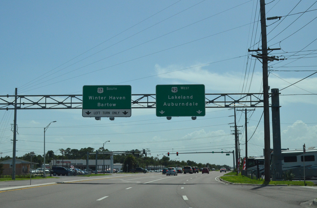
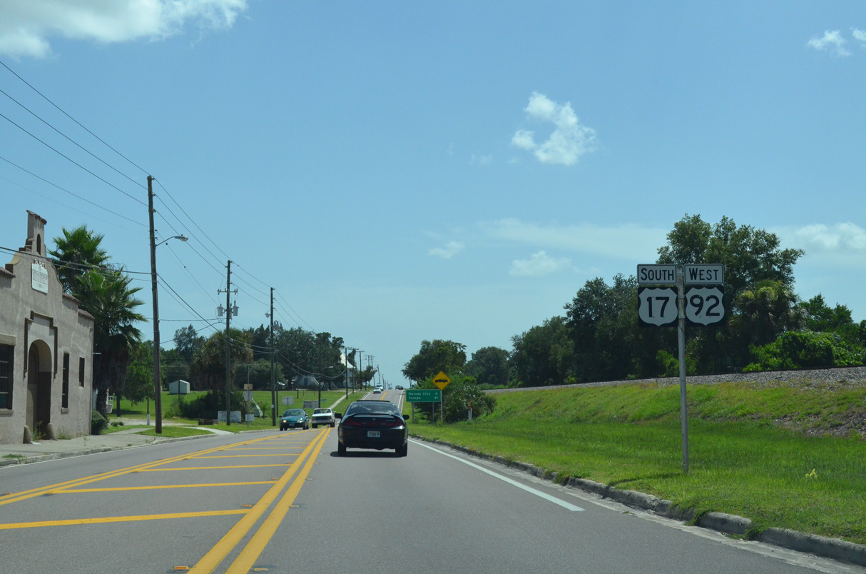
U.S. 92 travels west from Auburndale to Lakeland and Plant City. U.S. 17 continues beyond Winter Haven to combine with U.S. 98 south from Bartow to Fort Meade.
08/10/13
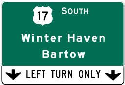
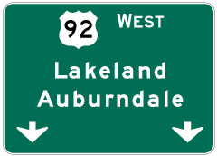
Photo Credits:
04/05/08, 12/21/11, 08/10/13, 09/07/16, 08/25/18, 05/30/19 by AARoads
Connect with:
U.S. 27
U.S. 192
State Road 538 - Poinciana Parkway
County Road 547
County Road 557
Page Updated 07-15-2022.