|
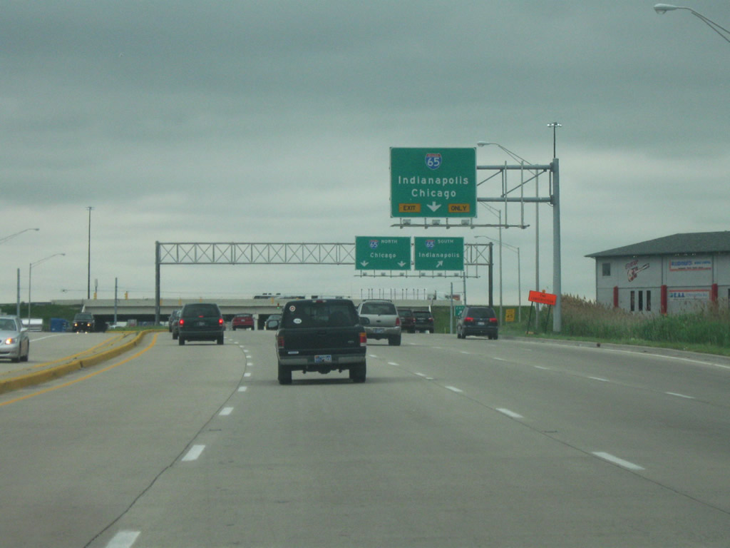
| We pick up U.S. 30 in Merrillville at the interchange with Interstate 65. Interstate 65 spans the state for 261.7 miles from the Indiana Toll Road in Gary (only nine miles to the north) south through Crown Point, Lafayette, Lebanon, Indianapolis, Franklin, Columbus, Seymour and Jeffersonville. From there, it continues south through Louisville, Nashville, Birmingham, Montgomery and finally Mobile, Alabama, ending its 887 mile journey at Interstate 65. The right two lanes of U.S. 30 eastbound become a loop ramp onto Interstate 65 northbound, taking travelers closer to the Chicago area. 05/28/09 |
|
| East of Interstate 65, U.S. 30 crosses into the city of Hobart (population 20,059). Pronounced Ho-bert, Hobart contains most of the major shopping centers, including Westfield Southlake Mall along U.S. 30, that serve the whole Northwest Indiana region, despite the fact that most people believe the centers to be located in Merrillville. 05/28/09 |
|
| Approaching the intersection with Mississippi Street, U.S. 30 is six lanes wide, as it is around the Interstate 65 interchange. This area can be quite heavy with traffic at peak times since the U.S. 30 corridor to the east of Interstate 65 is the hub for retail in the Lake and Porter County region. 05/28/09 |
|
| Heading east along U.S. 30, the next intersection serves the Westfield Southlake shopping mall and several strip malls to the north of the highway. 05/28/09 |
|
| Up ahead is another stoplight serving the shopping mall and adjacent strip malls. Following this light is the intersection with Colorado Street. U.S. 30 reduces to four overall lanes at Colorado Street and remains at that width to Fort Wayne. 05/28/09 |
|
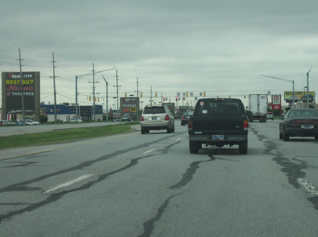
| U.S. 30 heading east through the rest of the commercialized areas in Hobart. The highway becomes semi-rural on the drive east to Valparaiso. 05/28/09 |
|
| Still in Hobart, but leaving the retail region and SR 51, Valparaiso is now ten miles away. Fort Wayne, the ultimate control city along U.S. 30 eastbound, is 118 miles from here. 05/28/09 |
|
| East of Hobart, U.S. 30 enters Porter County (population 164,434) and heads east as the primary commuter corridor to connect Merrillville with Valparaiso. Several stoplight intersections along the way make the trip somewhat slow-going from the county line east into Valparaiso. Largely for that reason, traffic may prefer taking Interstate 94 to SR 49 south into Valparaiso. 05/28/09 |
|
| Entering the Porter County seat of Valparaiso (population 31,730), we near the intersection with SR 2 south / Washington Street. SR 2 is an 81 mile highway that begins at the Illinois state line, west of Lowell in Lake County, and follows a diagonal path northeast to Hebron, Valparaiso, Westville, LaPorte and finally South Bend, where it ends at the U.S. 20 / U.S. 31 Bypass. At this intersection, SR 2 will follow U.S. 30 to the east toward SR 49. To the north, Washington Street provides the best link into Downtown Valparaiso. 05/28/09 |
|
| Now on the southeast side of Valparaiso, U.S. 30 enters the interchange with SR 49, a 44 mile highway that begins at SR 10 in Jasper County and heads north through the town of Knots before meeting up with U.S. 30. To the north, it is a four lane expressway that skirts the east side of Valparaiso and to U.S. 6, Interstate 94 and the Indiana Toll Road in the town of Chesterton. SR 2 joins SR 49 north to its exit on the east side of Valparaiso. 05/28/09 |
Page Updated 03-05-2012.


 East
East