Traveling 239 miles across the state, U.S. 136 originates in Furnas County at U.S. 6/34 north of Edison. U.S. 136 follows the Republican River southeast to Oxford, Orleans and Harlan County Lake. Beyond an overlap with U.S. 183 into Alma, U.S. 136 runs east to Franklin, Red Cloud and N-14 north of Superior.
Shifting four miles north alongside N-14, U.S. 136 resumes an eastern heading to the Little Blue River and Fairbury. Continuing from there, U.S. 136 trends northward to Beatrice, Tecumseh and Auburn. The highway crosses the Missouri River over the Brownville Bridge into the Show Me State.
|
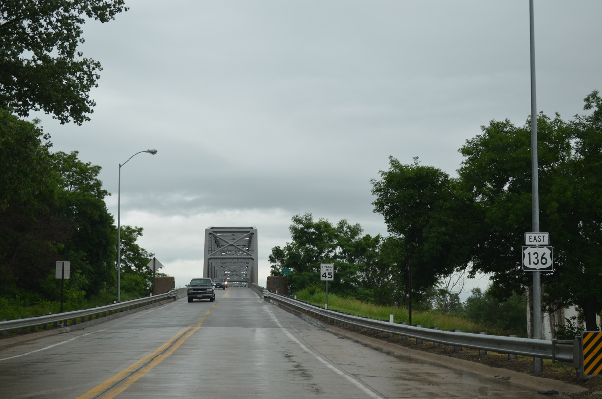
| U.S. 136 ascends onto the Brownville Bridge from the intersection with 1st Street and Main Street in Brownville. 06/18/15 |
|
| The Brownville Bridge spans the Missouri River east into Atchison County, Missouri. 06/18/15 |
|
| A through truss span, the Brownville Bridge was built in 1939. 06/18/15 |
|
| U.S. 136 crosses the Missouri state line at the midpoint of the Brownville Bridge. 06/18/15 |
|
| U.S. 136 lowers from the Brownville Bridge into the village of Brownville at 1st and Main Streets. 06/18/15 |
Page Updated 02-26-2020.

 East
East