
 South
South  East
East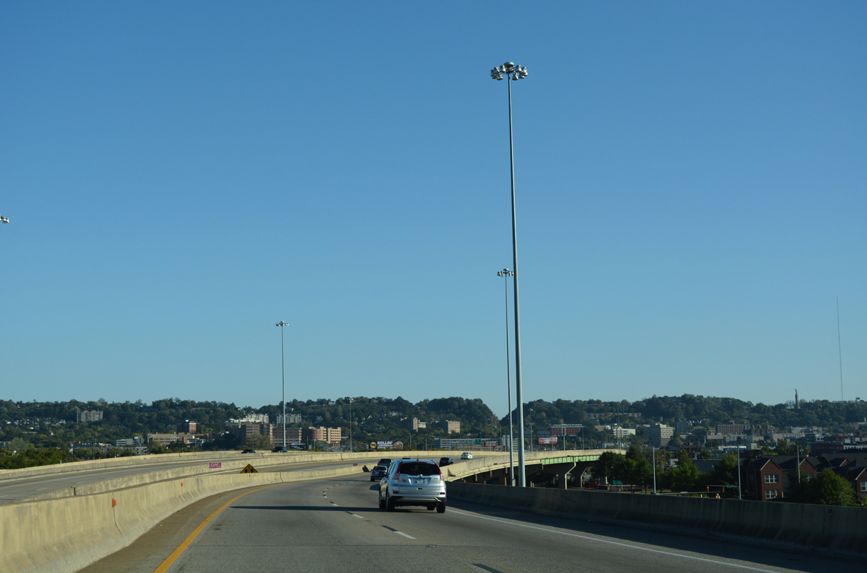
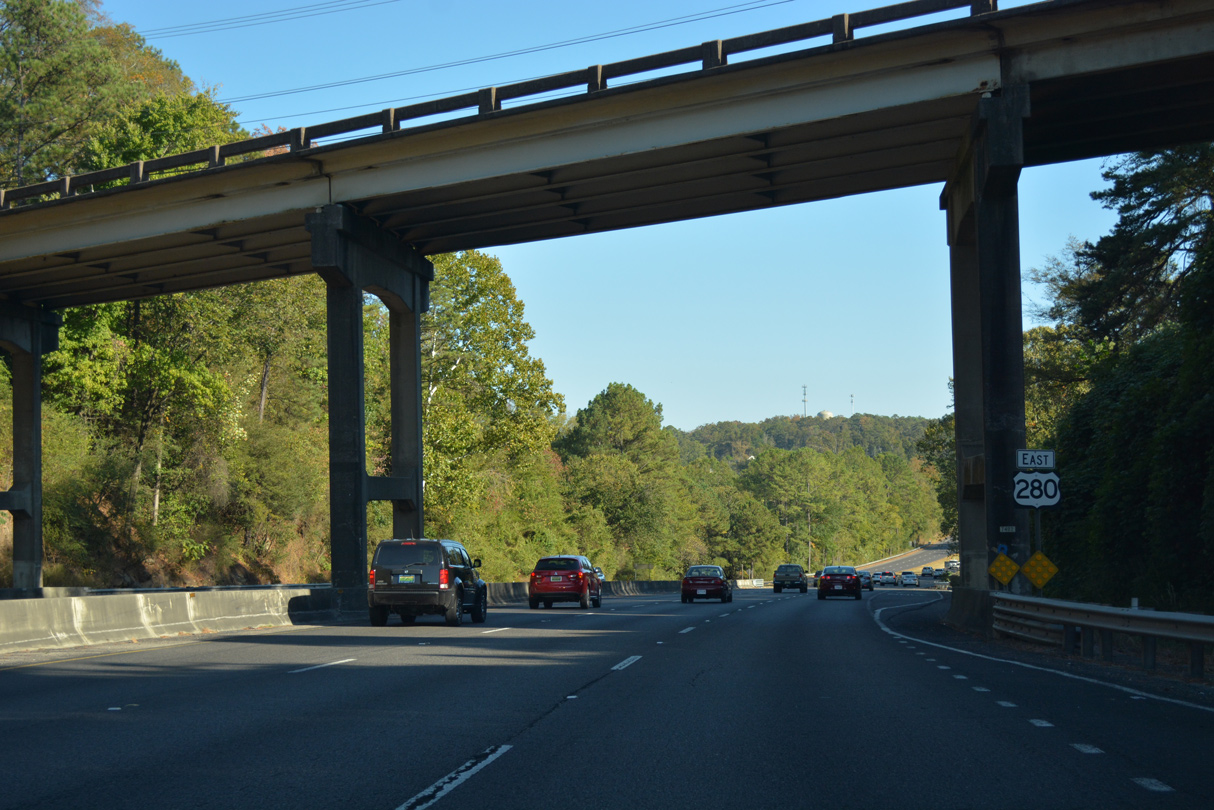
Flyovers from both directions of I-59/20 combine south from the systems interchange joining the freeway with U.S. 31/280 along the Red Mountain Expressway.
10/08/16
10/08/16
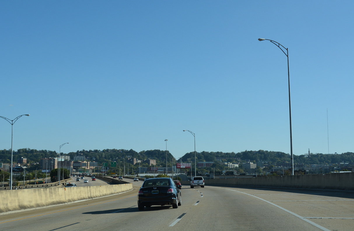
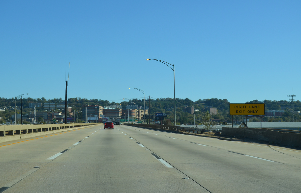
U.S. 31/280 (Red Mountain Expressway) parallel 26th Street N south to ramps with U.S. 11 (1st Avenue N) and RIRO ramps for U.S. 78 along the couplet of 3rd/4th Avenue N.
10/08/16
A loop ramp originally linked U.S. 31/280 eastbound with U.S. 11 (1st Avenue N) northbound to Central City and Avondale in Birmingham.
10/20/12

The viaduct along the Elton B. Stephens Expressway spans CSX, Norfolk Southern and AMTRAK railroad tracks between U.S. 11 and 1st Avenue S. Red Mountain rises along the southern horizon.
10/08/16

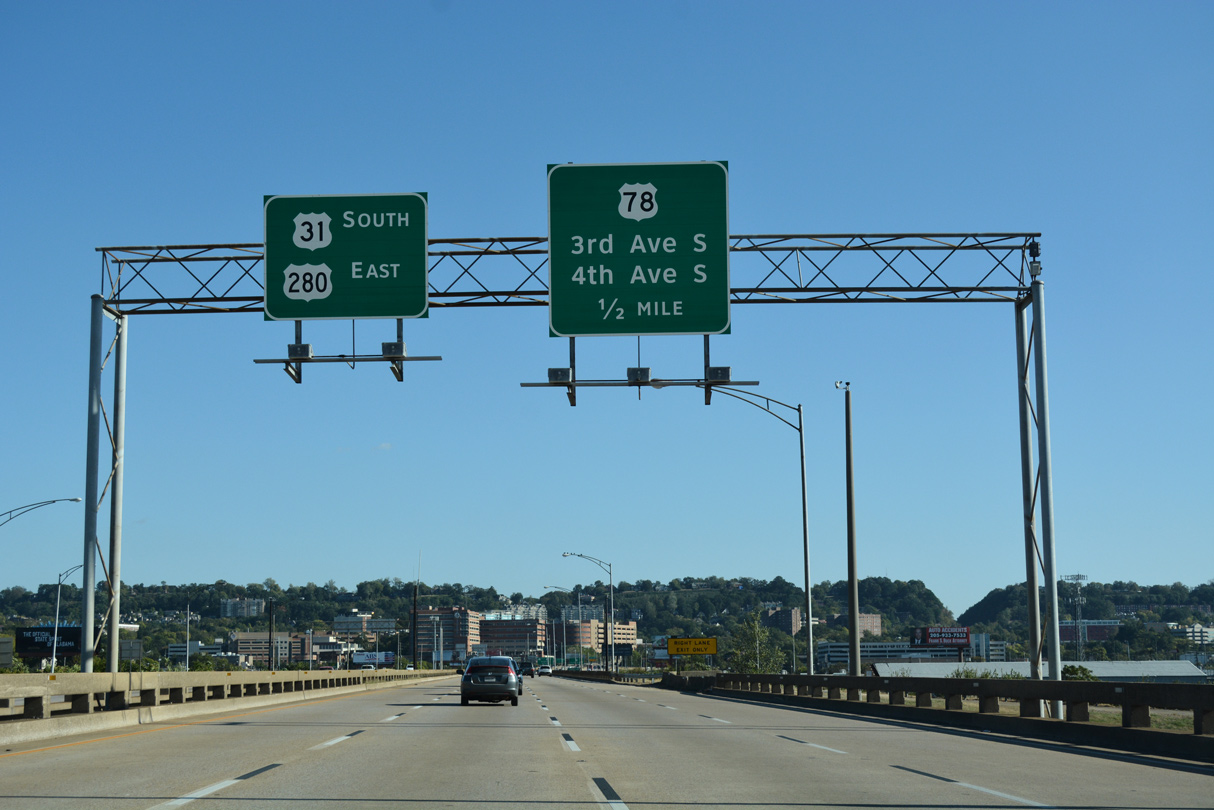
The ramps for U.S. 78 connect with 25th Street S between the split directions of U.S. 78 along 3rd/4th Avenue S. U.S. 78 follows 24th Street north to combine with U.S. 11 south through Downtown. U.S. 78 east passes through the Lakeview District en route to Irondale.
10/08/16
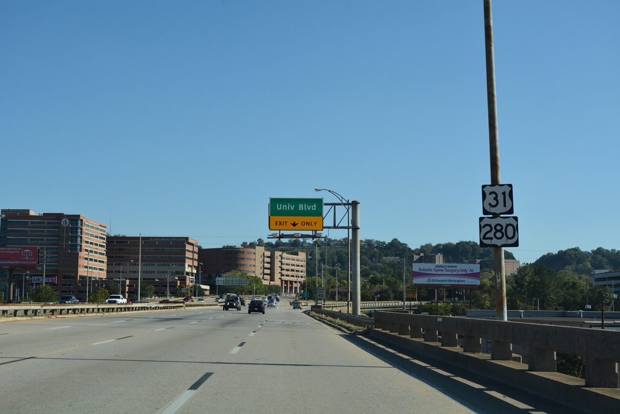
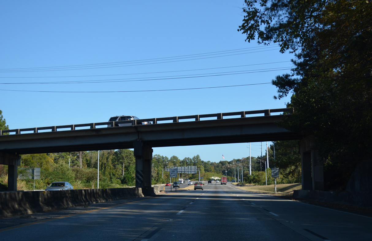
Confirming markers for U.S. 31/280 precede the folded diamond interchange with University Boulevard (former SR 149).
10/08/16

The exit from U.S. 31/280 to University Boulevard was previously signed for 8th Avenue S. SR 149 followed the multi lane boulevard southwest to the University of Alabama at Birmingham campus and Green Springs Highway by I-65.
10/08/16

10/20/12

The succeeding exit along the Red Mountain Expressway is for 21st Avenue S west of English Village.
10/08/16
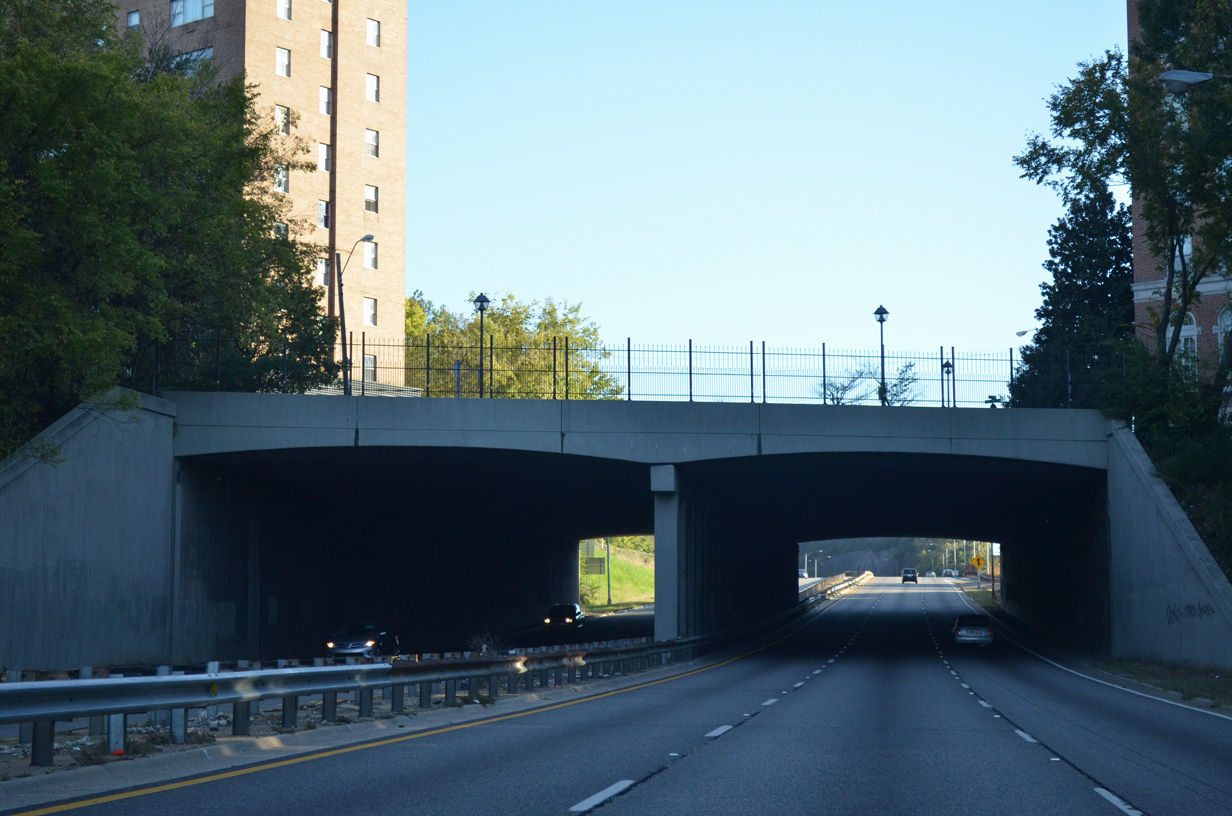
U.S. 31/280 (Elton B. Stephens Expressway) pass below Highland Avenue at 23rd Street S through a tunnel constructed in 1966.
10/20/12
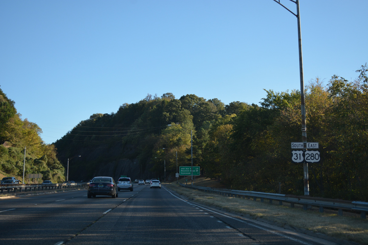
U.S. 31/280 proceed south from the tunnel below Highland Avenue through a cut across Red Mountain.
10/08/16

10/20/12
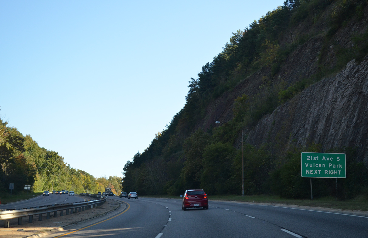
Vulcan Park lies west of U.S. 31/280 along Richard Arrington, Jr. Boulevard S beyond 21st Avenue S.
10/20/12

10/20/12
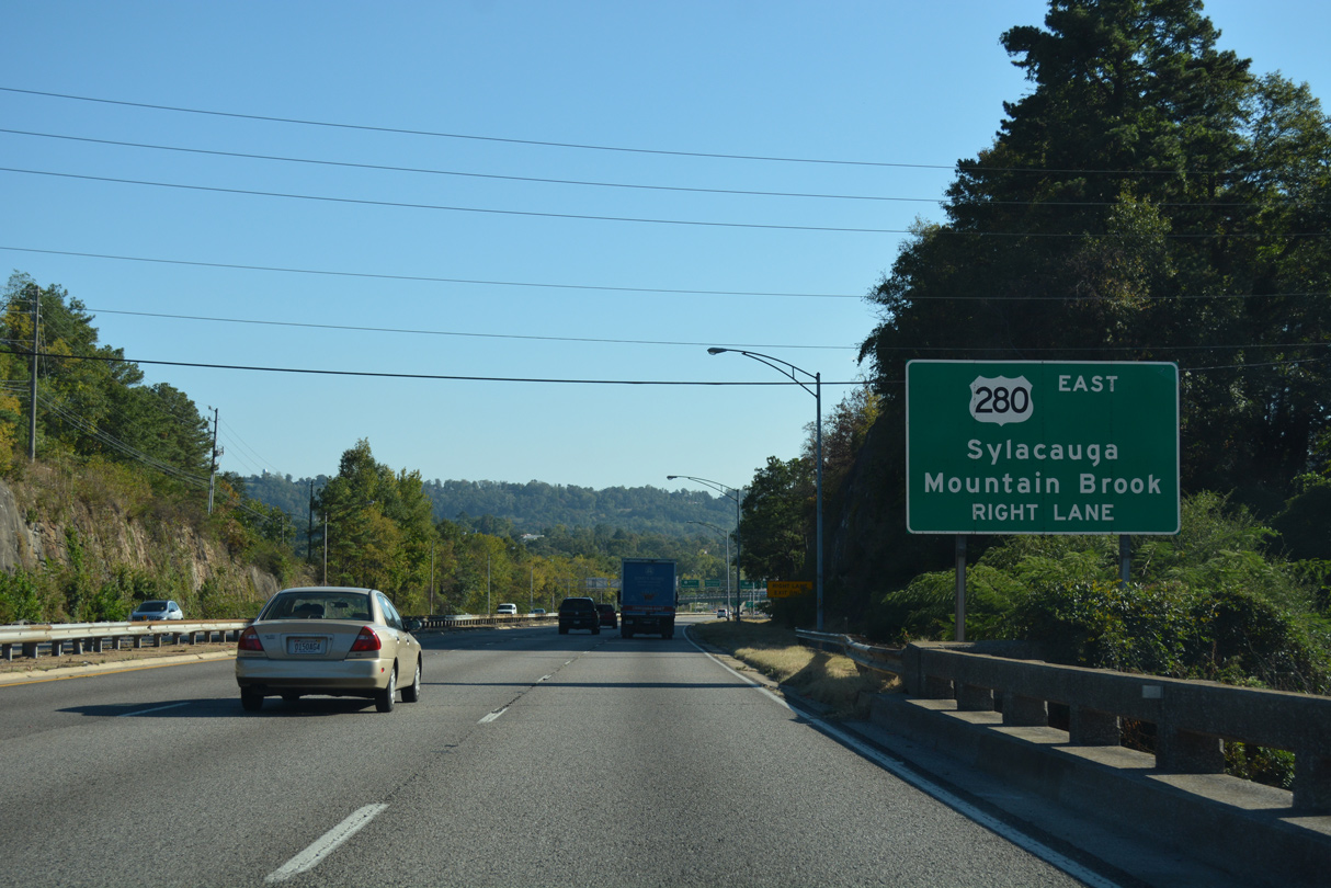
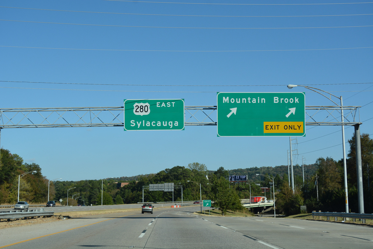
U.S. 280 parts ways with U.S. 31 (Red Mountain Expressway) south onto a short freeway leading east from Homewood into Mountain Brook.
10/08/16
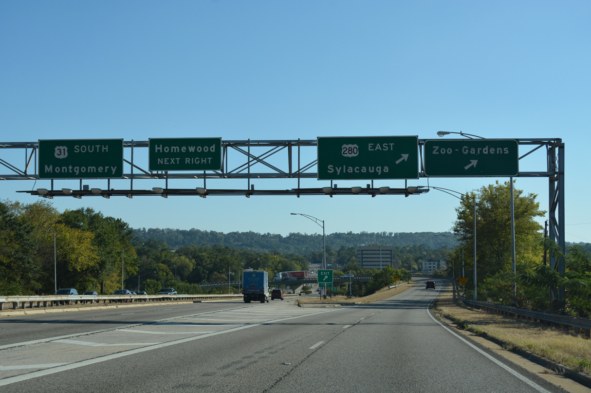
U.S. 31 transitions onto Independence Drive south through Homewood while U.S. 280 eastbound navigates along a flyover east ahead of Birmingham Zoo.
10/08/16
East
Rosedale Drive stems east from 18th Street S (old U.S. 31) to the cloverstack interchange where U.S. 280 east separates from U.S. 31 south.
10/20/12

Rosedale Road east transitions into the freeway taking U.S. 280 toward Shades Mountain in Mountain Brook.
10/20/12

The exit for Highway 280 Access Road departs just beyond the Poinciana Drive underpass where traffic from Rosedale Drive joins U.S. 280 eastbound.
10/08/16
Highway 280 Access Road links U.S. 280 with Cahaba Road north to Birmingham Zoo and Culver Road east at the Mountain Brook Village retail area.
10/08/16
A half diamond interchange next joins Hollywood Boulevard with U.S. 280 east.
10/08/16
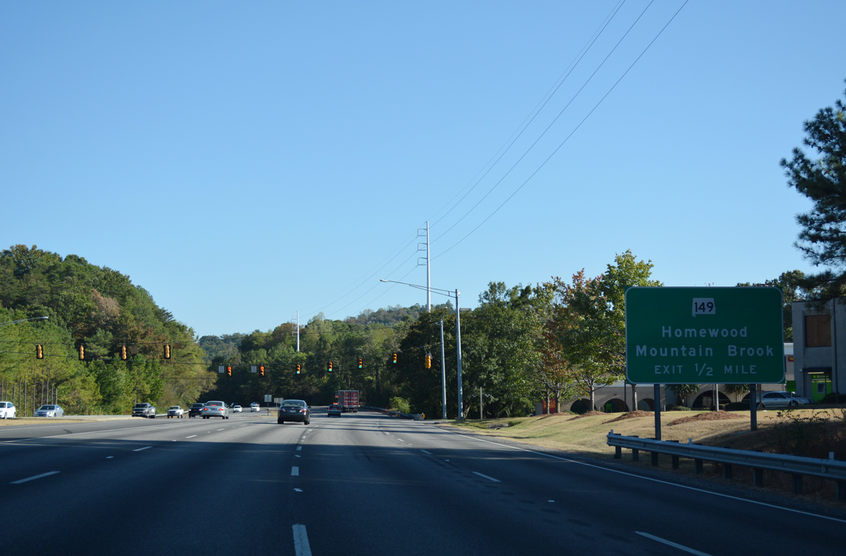
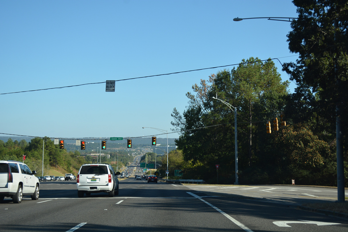
Transitioning into an eight lane arterial, U.S. 280 proceeds southeast a half mile from the traffic light at Office Park Circle to the folded diamond interchange with SR 149 (Shades Creek Parkway).
10/08/16

SR 149 runs 4.09 miles southwest from U.S. 280 into the city of Homewood. Mountain Brook Parkway extends the arterial northeast into Mountain Brook.
10/08/16

SR 149 connects U.S. 280, U.S. 31 and I-65 with Samford University.
10/20/12

10/08/16
10/08/16

U.S. 280 reenters the city of Mountain Brook at Cherokee Road.
10/08/16

Overton Road stems east from U.S. 280 across from Birmingham Reservoir.
10/08/16
10/08/16

10/08/16

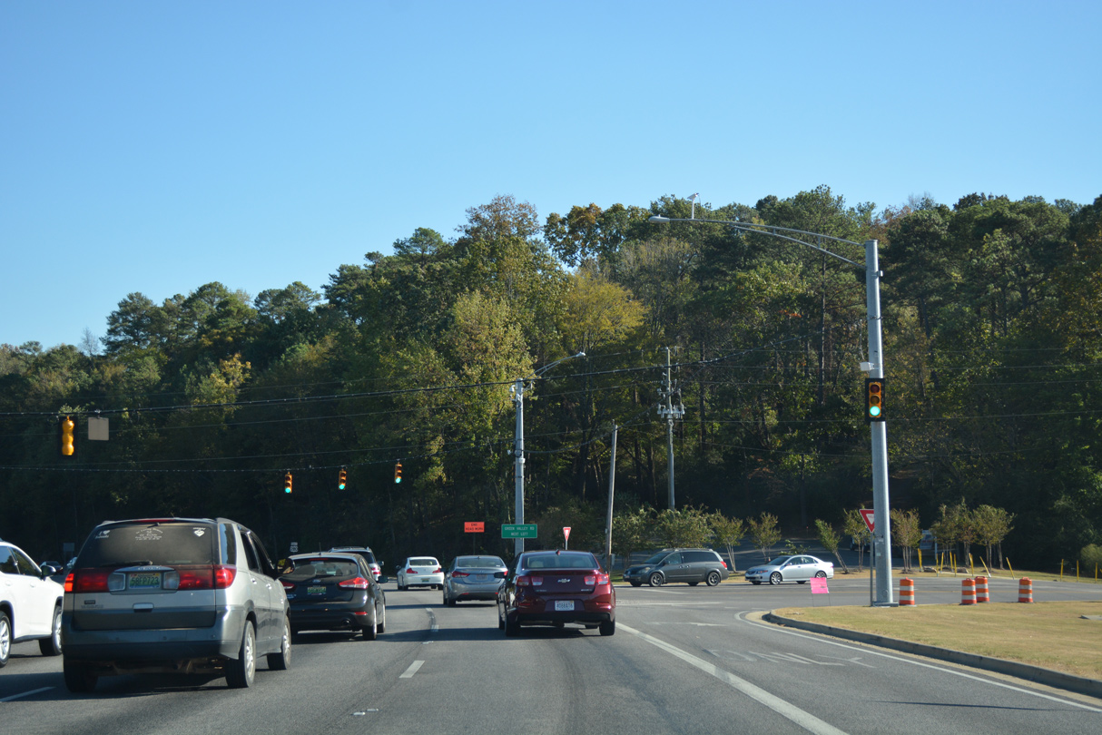
The intersection with Green Valley Road was converted in 2013 to provide a continuous green light for U.S. 280 eastbound.
10/20/12

A compact folded diamond interchange links U.S. 280 with Pump House Road to the Cahaba Heights community in Vestavia Hills.
10/08/16

Pump House Road spans U.S. 280 over a high overpass in Mountain Brook.
10/08/16
10/08/16

10/08/16
10/08/16

U.S. 280 reenters the Birmingham city limits ahead of the directional cloverleaf interchange with Interstate 459.
10/08/16

Multiple control cities are used for Interstate 459, referencing the connections with I-65 south, I-59/20 south, I-20 east and I-59 north.
10/08/16
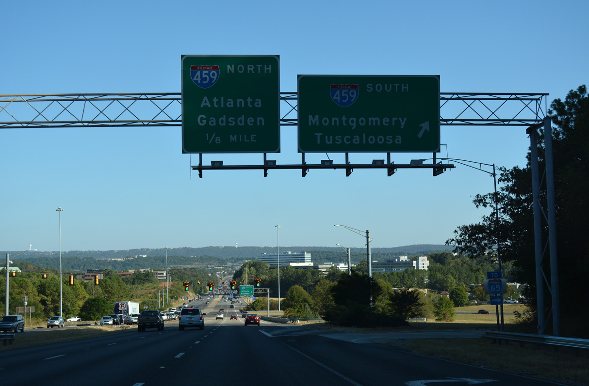
Interstate 459 arcs southwest from U.S. 280 into southern reaches of Vestavia Hills ahead of I-65 and U.S. 31 in Hoover.
10/08/16

A loop ramp joins U.S. 280 east with I-459 north to I-20 in Irondale and I-59 between northeast Birmingham and Trussville.
10/08/16

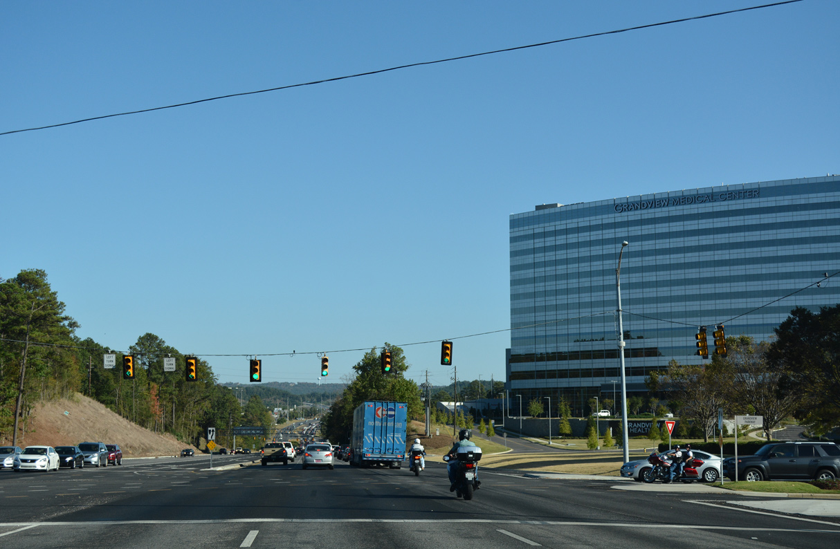
The signalized intersection with Perimeter Park Road S and Grandview Parkway north was converted to a RIRO in 2013, eliminating what was the first traffic lights east of I-459 on U.S. 280.
10/08/16

10/08/16
10/08/16
10/08/16

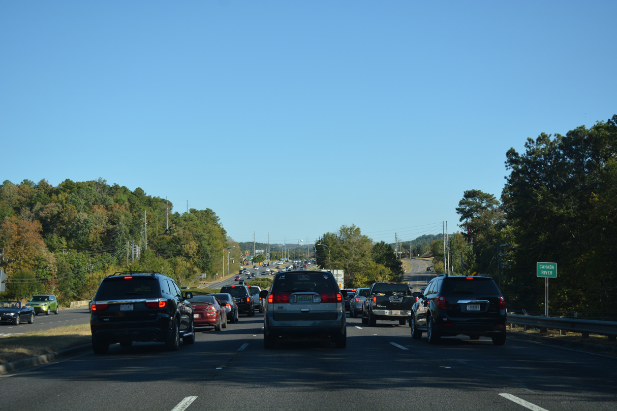
Still within the Birmingham city limits, U.S. 280 east crosses the Shelby County line at Riverview Road, just south of the Cahaba River.
10/08/16

10/08/16

10/08/16

10/08/16
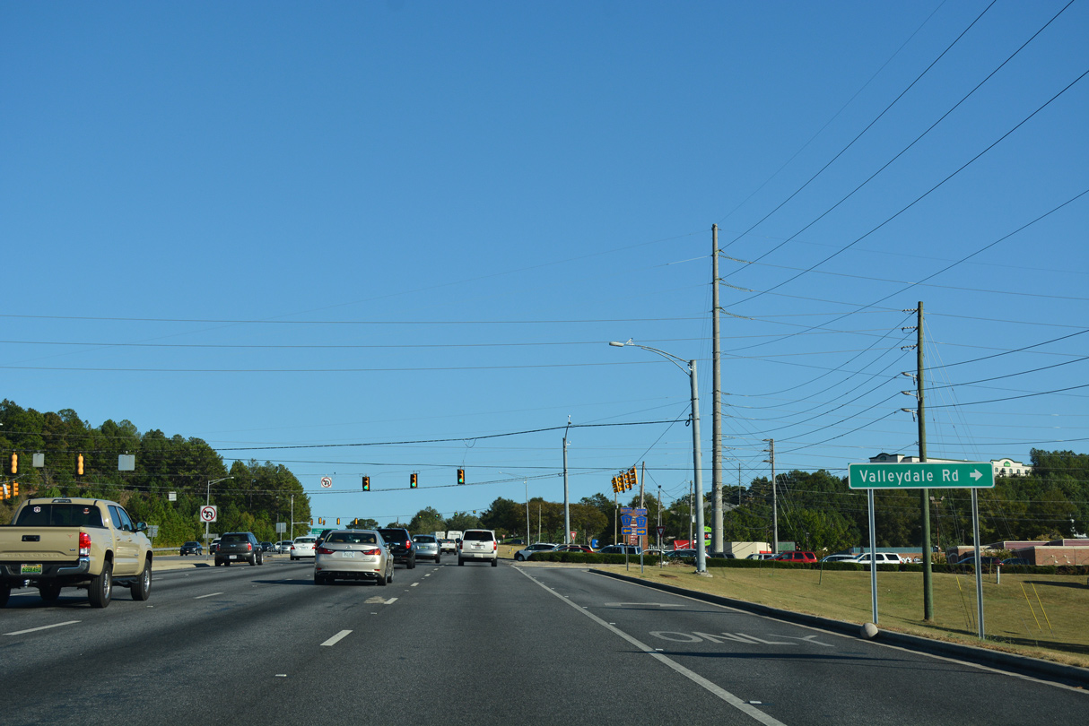
U.S. 280 meets CR 17 (Valleydale Road south / Cahaba Beach Road north) at an RCUT intersection.
10/08/16
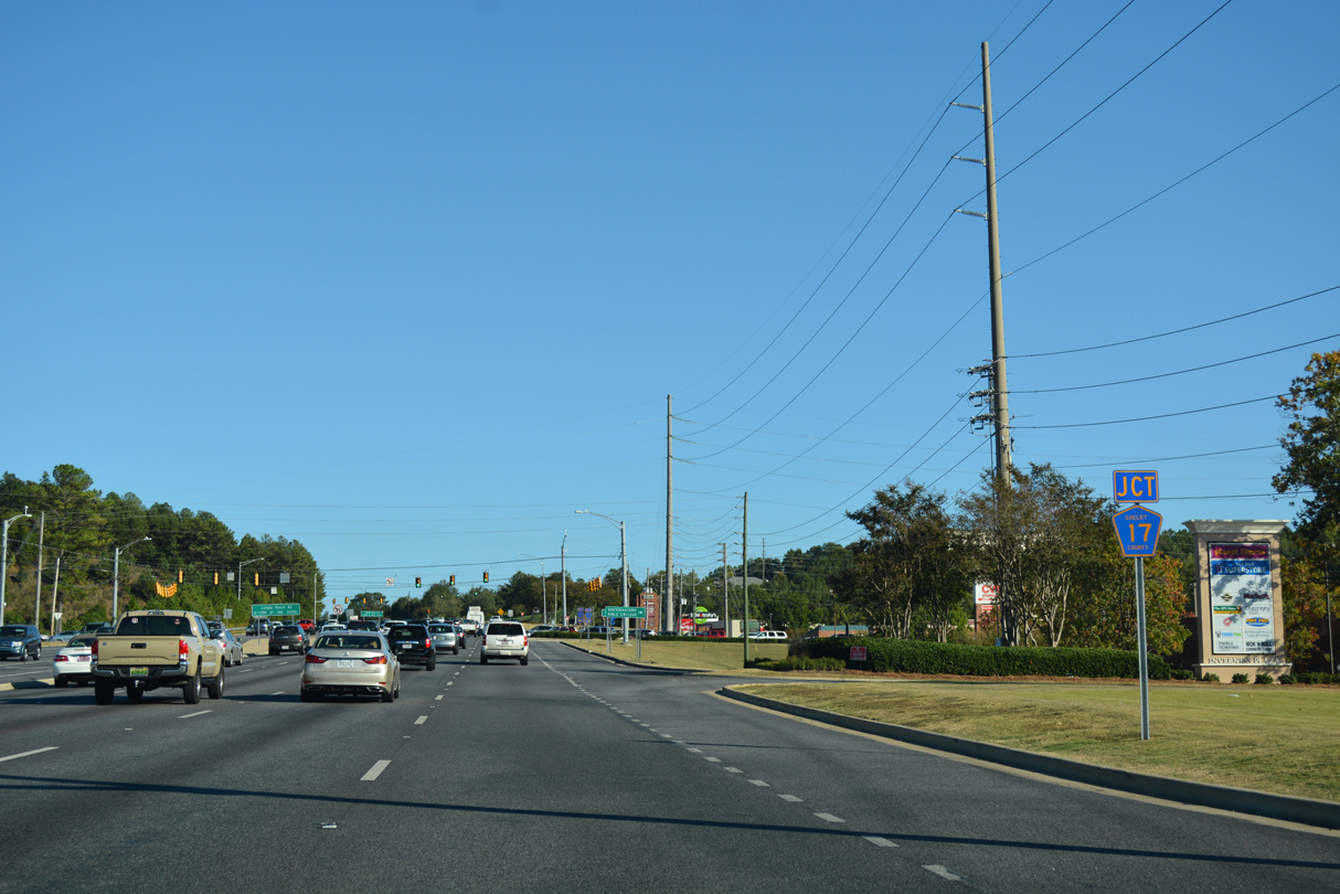
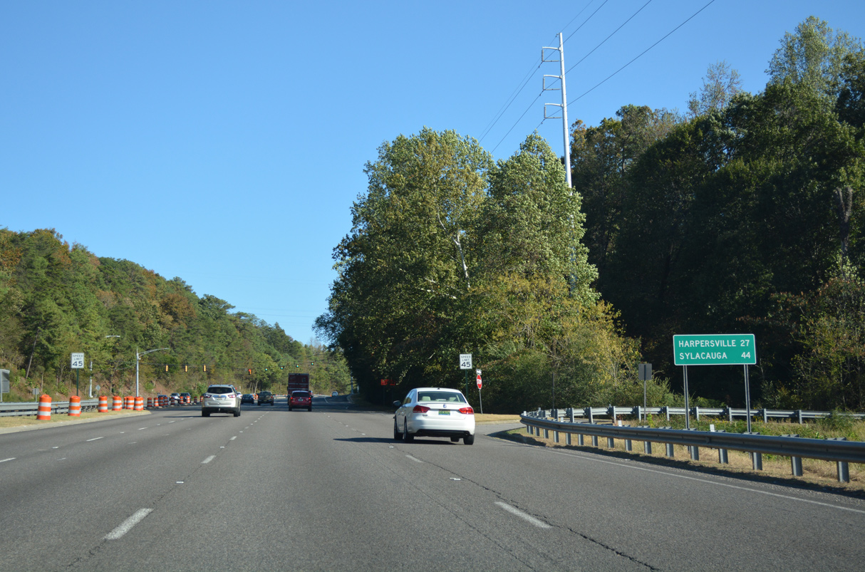
CR 17 constitutes an arterial southwest 8.1 miles along Valleydale Road to Indian Springs Valley and U.S. 31/SR 261 in Pelham.
10/08/16
10/08/16

CR 17 spurs north along Cahaba Beach Road to an abandoned truss bridge spanning the Little Cahaba River.
10/08/16
Photo Credits:
10/20/12, 10/08/16 by AARoads
Connect with:
Interstate 459
U.S. 31
State Route 149
Page Updated 08-17-2022.