|
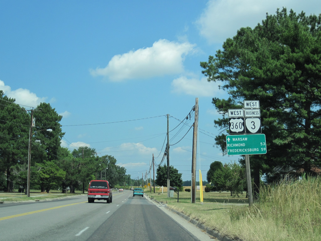
| U.S. 360 (Richmond Road) combines with SR 3 Business west from the SR 3 bypass of Warsaw into the county seat. The first set of shields for the overlap coincide with a distance sign posted 53 miles from Richmond (via U.S. 360 southwest) and 59 miles east of Fredericksburg (via SR 3 west). 06/25/10 |
|
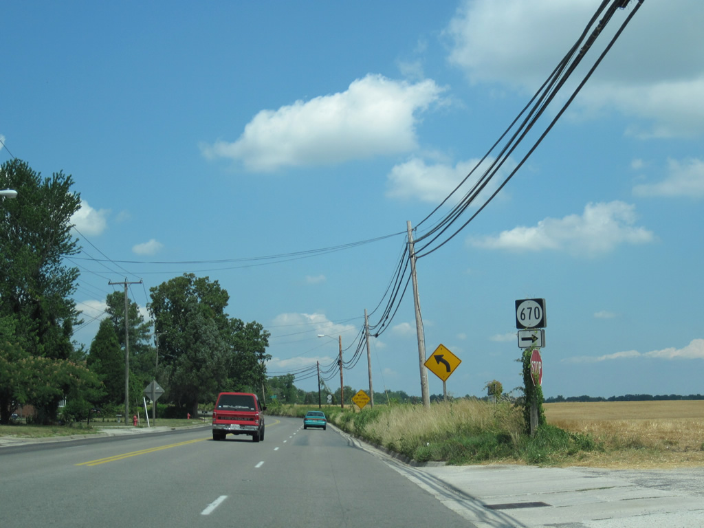
| SR 670 follows Scott Town Road east from U.S. 360 & SR 3 Business (Richmond Road) to the SR 3 bypass (History Land Highway) and a handful of residences west of Little Totuskey Creek. 06/25/10 |
|
| Richmond Road curves westward from Hamilton Boulevard to Pine Street by this set of shields. SR 3 shifted from Warsaw to its bypass in 2001. 06/25/10 |
|
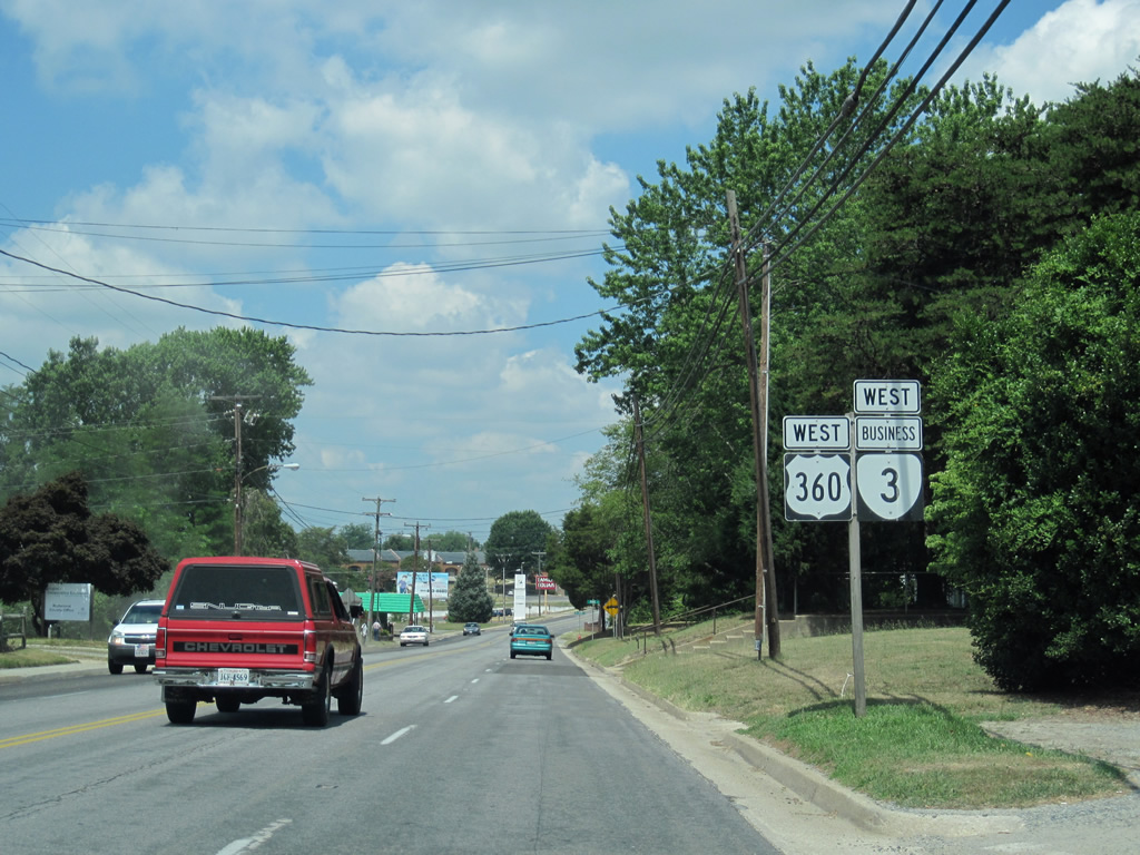
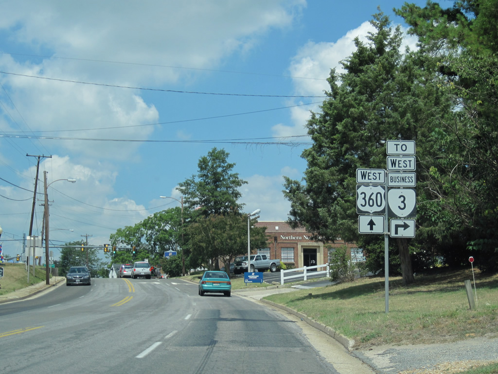
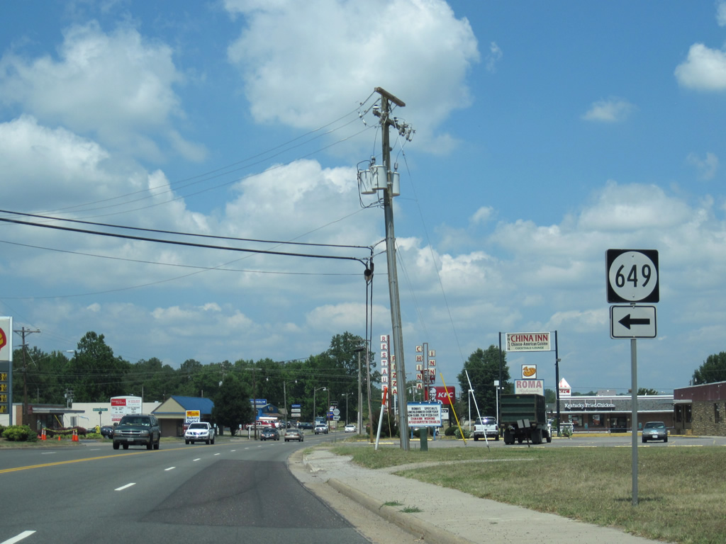
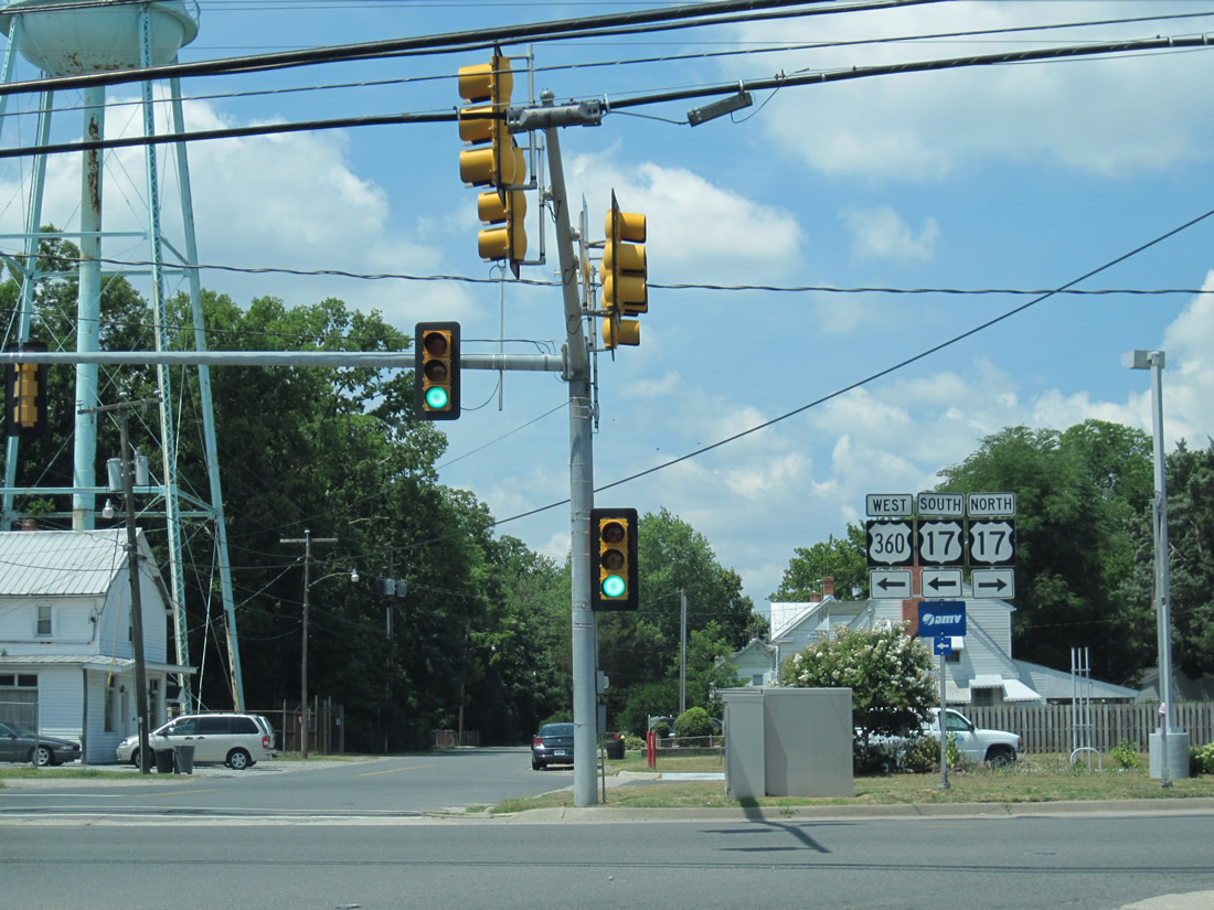
| SR 3 Business parts ways with U.S. 360 (Richmond Road) west for Main Street north in Warsaw. 06/25/10 |
|
| Main Street leads north from Richmond Road and Court Circle from this signal to rejoin SR 3 in 0.8 miles. 06/25/10 |
|
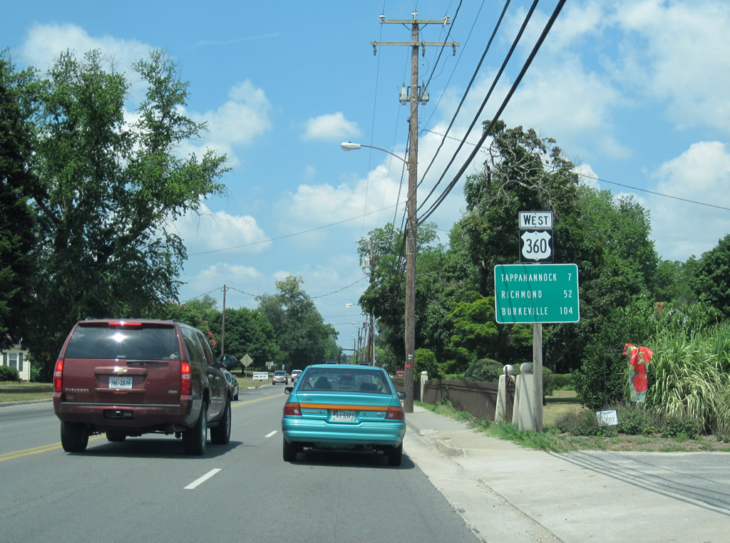
| U.S. 360 continues as a four lane arterial west from SR 3 Business (Main Street) through western reaches of Warsaw. Tappahannock (U.S. 17) is seven miles to the west. Burkeville continues to be profiled on westbound distance signs at 104 miles out. 06/25/10 |
|
| The loop of Meadowbrook Road doubles as SR 614 south of U.S. 360 in Warsaw. 06/25/10 |
|
| Meadowbrook Road returns to U.S. 360 (Richmond Road) as the arterial traverses a commercialized stretch. 06/25/10 |
|
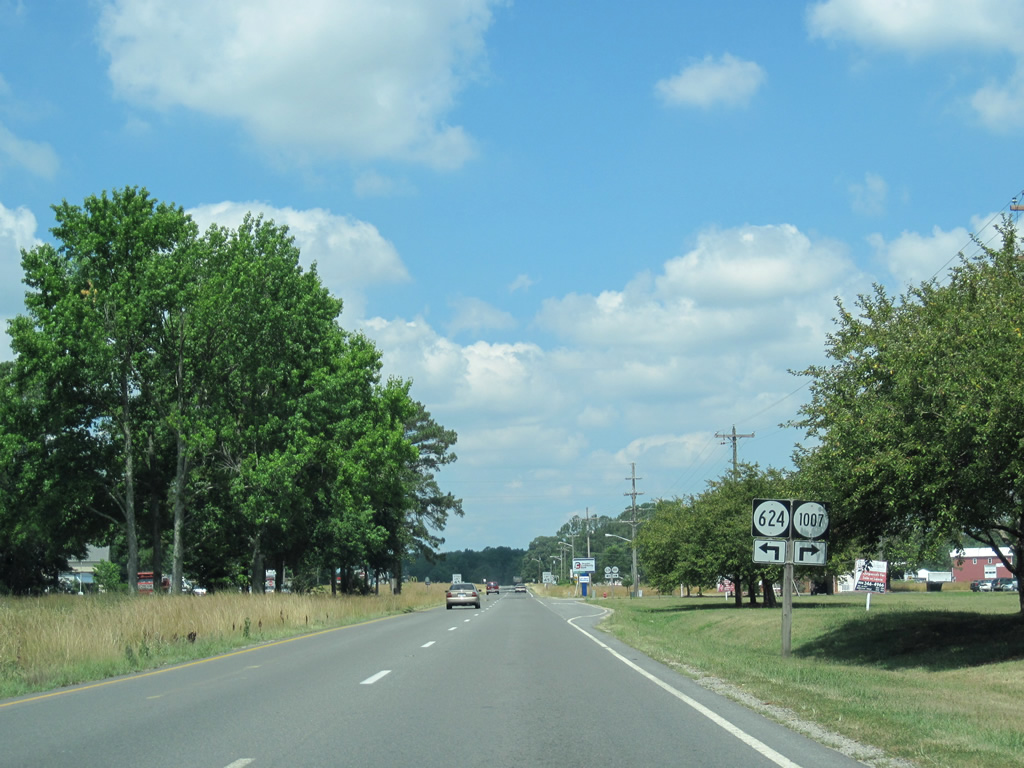
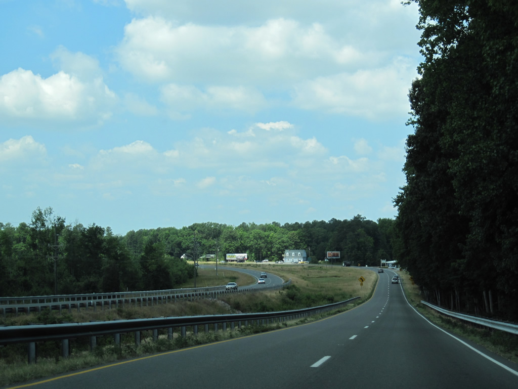
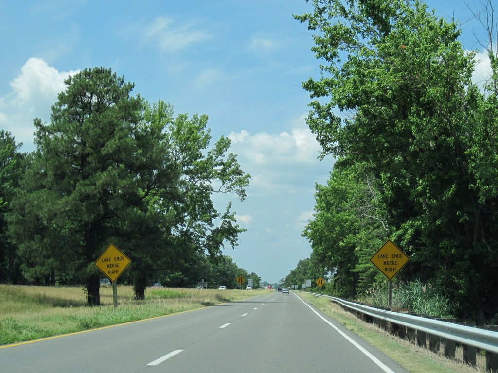
| U.S. 360 expands into a four lane divided highway ahead of SR 624 and 1007 (Sabin Hall Road) in west Warsaw. 06/25/10 |
|
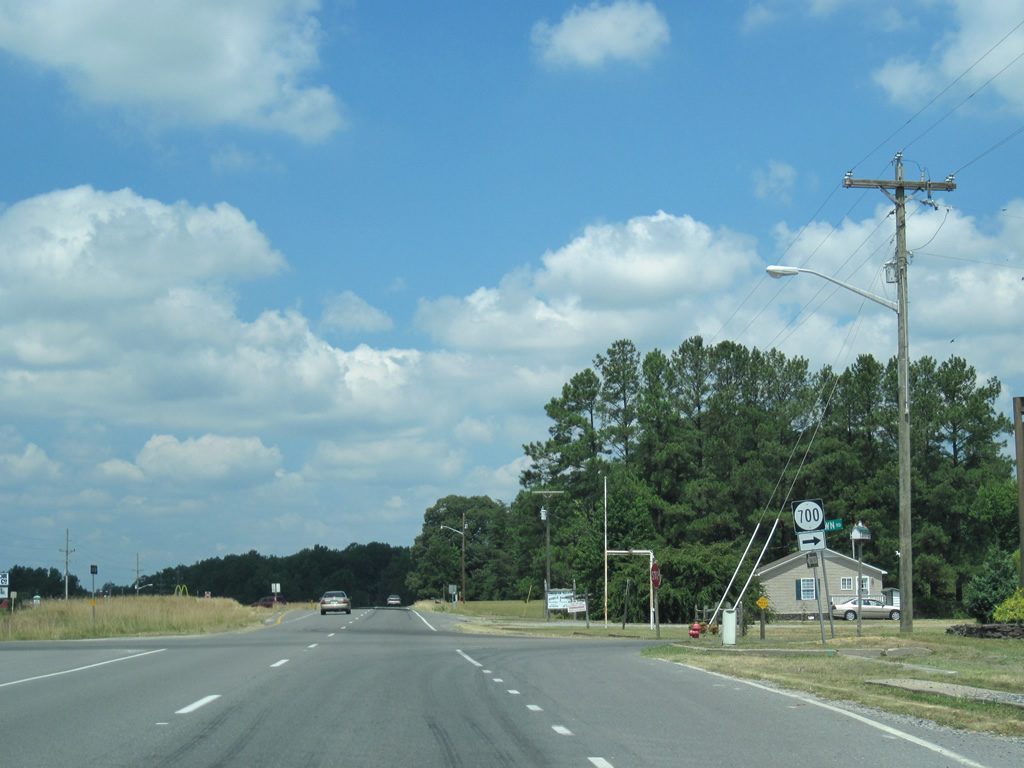
| Westbound U.S. 360 (Richmond Road) at SR 700 (Selftown Road) north. 06/25/10 |
|
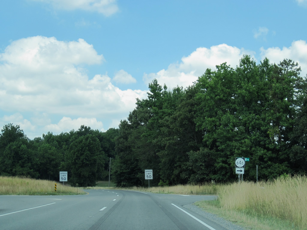
| SR 646 branches northwest from U.S. 360 along Millpond Road to Mt. Airy Millpond and Chestnut Hill Road (SR 621). 06/25/10 |
|
| U.S. 360 lowers from 100 feet above sea level to under 50 feet in this scene west of Warsaw. 06/25/10 |
|
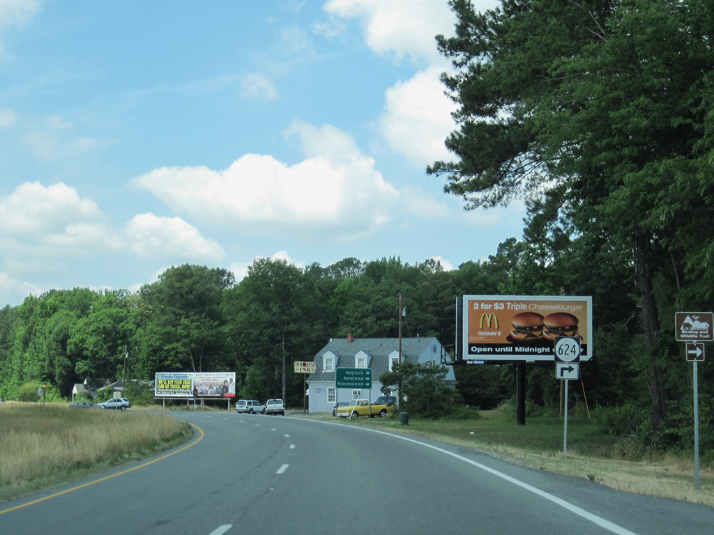
| The roadways of U.S. 360 separate further at the intersection with SR 624 (Newland Road) north. 06/25/10 |
|
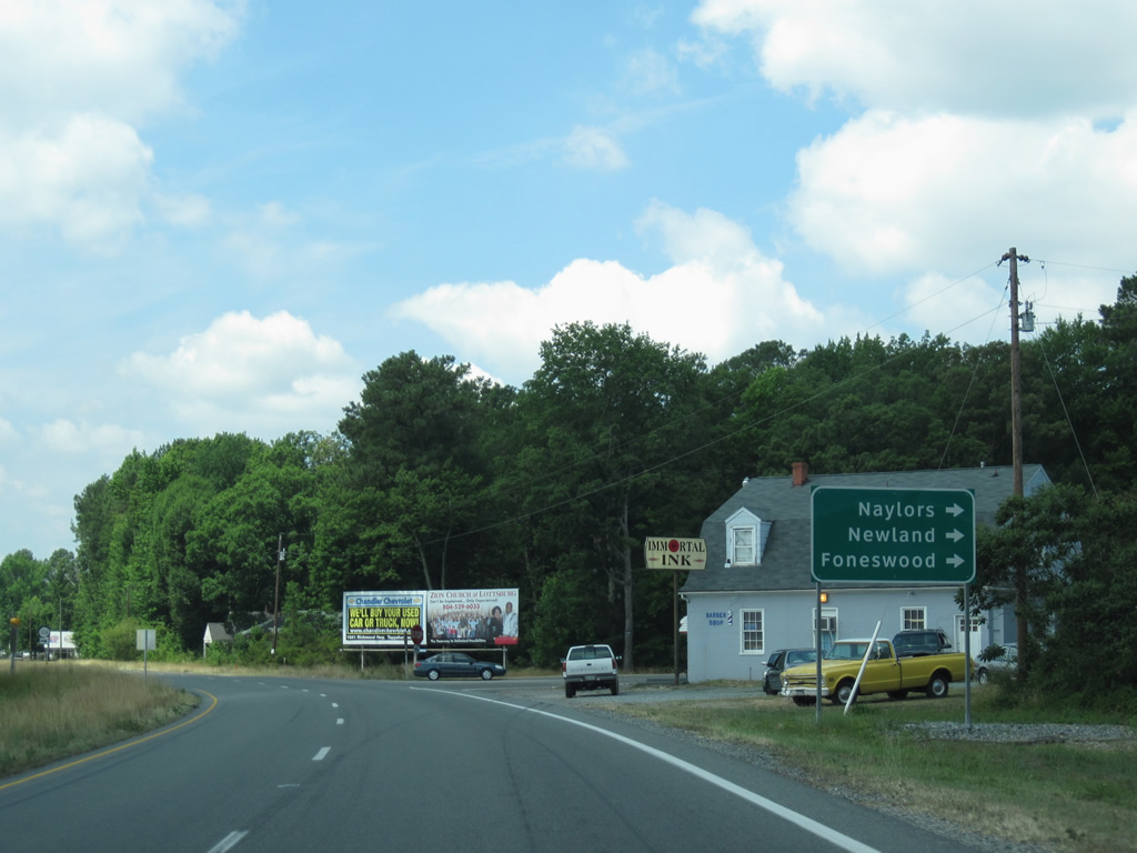
| SR 624 winds its ways northwest through Richmond County to Newland, Oak Bow, Singerly and Foneswood before crossing into Westmoreland County en route to SR 3 at Flat Iron. SR 634 stems west from nearby to Naylors Beach off the Rappahannock River. 06/25/10 |
|
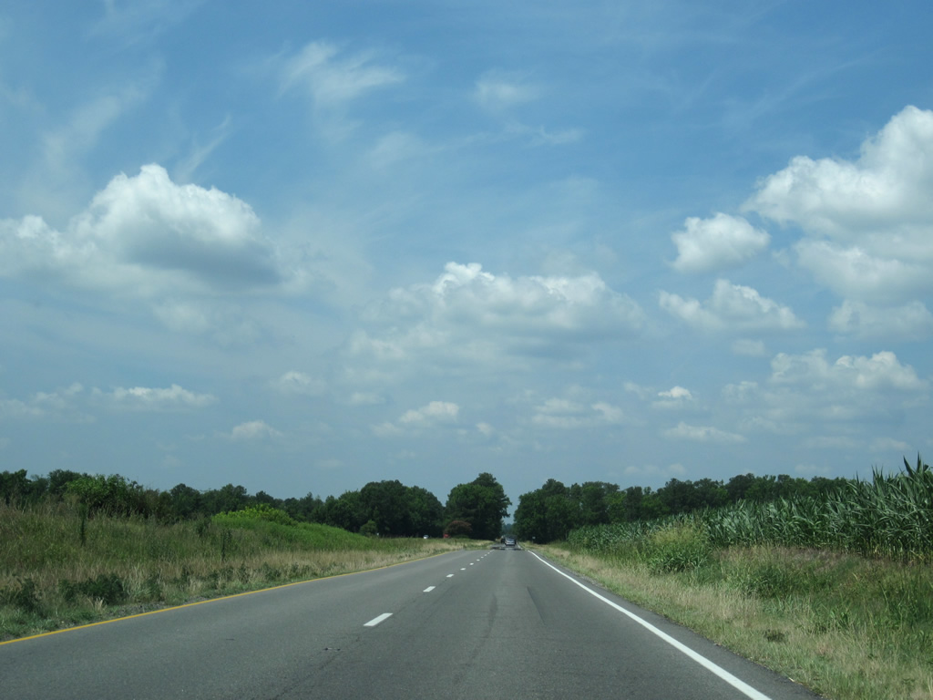
| U.S. 360 turns southwest and bee lines for the Rappahannock River. Agricultural fields line both sides of the divided highway, interrupted only by Little Carter Creek. 06/25/10 |
|
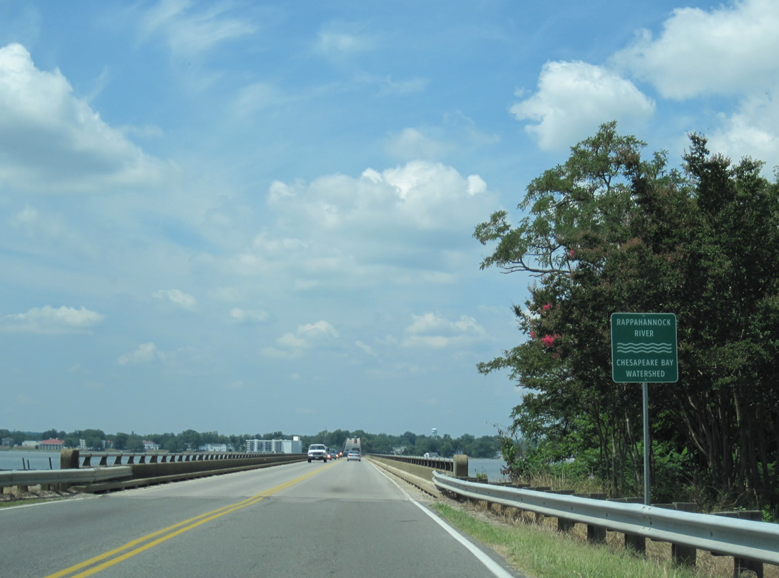
| The bridge across the Rappahannock River carries just two lanes. Drivers along U.S. 360 west merge into a single lane ahead of the concrete span. 06/25/10 |
|
| The Rappahannock River flows 195 miles southeast from Chester Gap in the Blue Ridge Mountains to the Chesapeake Bay between Fleets Island and Stingray Point. 06/25/10 |
|
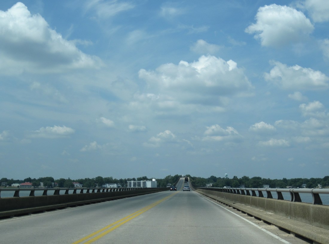
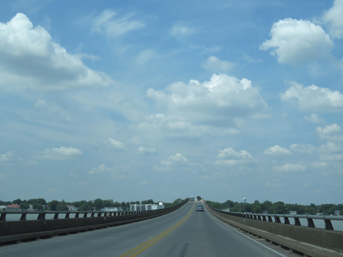
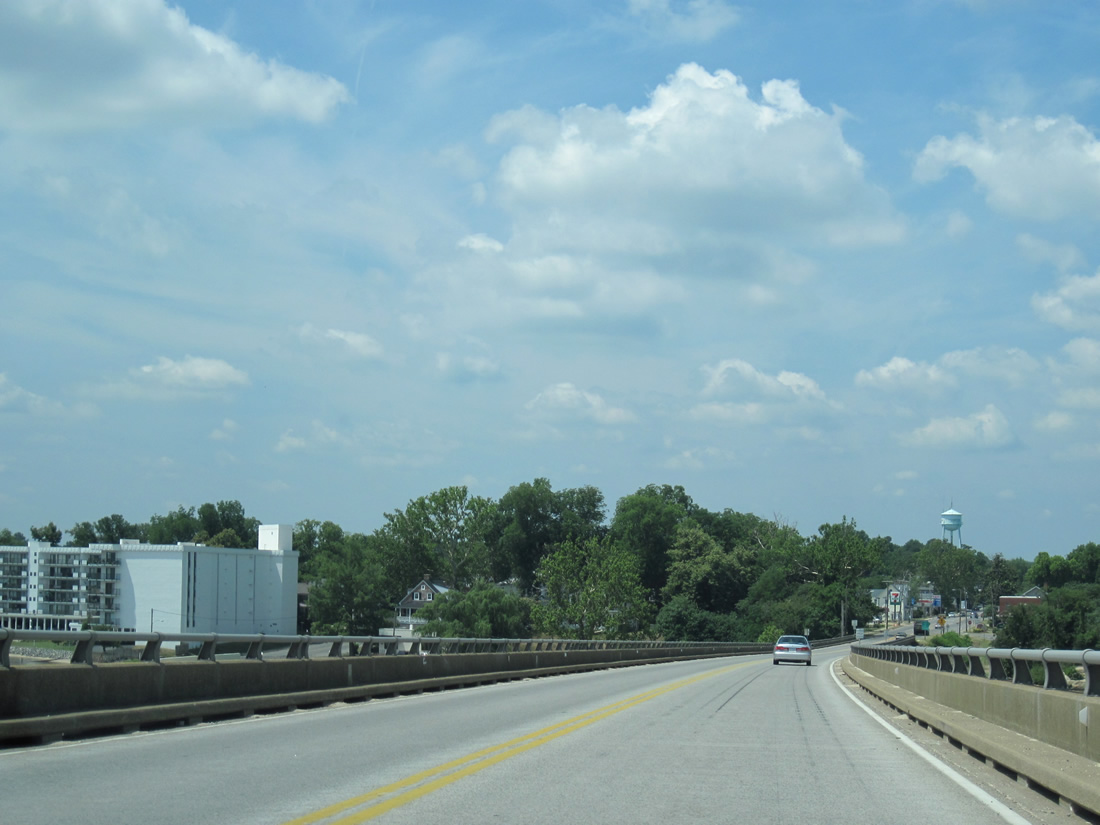
| The Thomas J. Downing Bridge carries U.S. 360 between Richmond County and Tappahannock in Essex County. The span opened in 1963 to replace a 1927-bridge and includes a high rise portion to accommodate taller vessels. 06/25/10 |
|
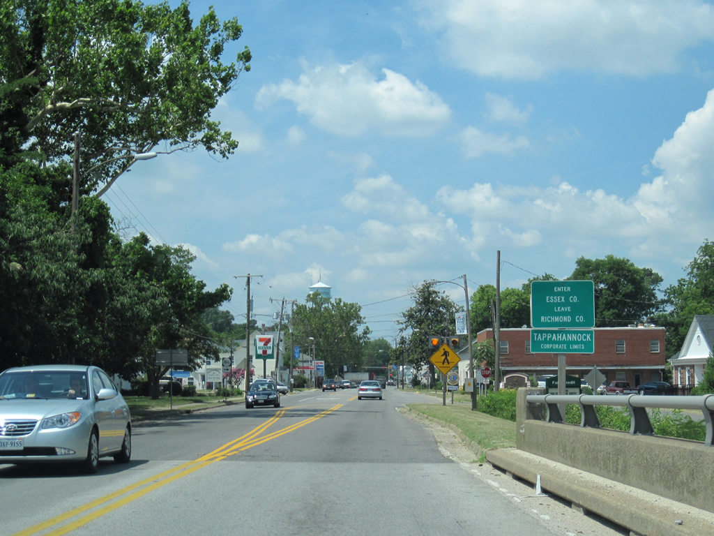
| The Essex County line follows the midpoint of the Rappahannock River across U.S. 360. The formal county line sign coincides with a Tappahannock corporate limits sign at the west end of the Downing Bridge. 06/25/10 |
|
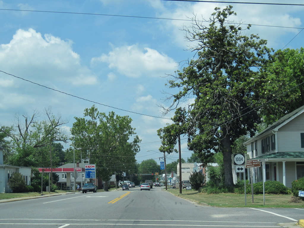
| U.S. 360 touches down from the Downing Bridge along Queen Street through the Tappahannock street grid. Water Lane (SR 1004) is the first intersection drivers encounter in town. 06/25/10 |
|
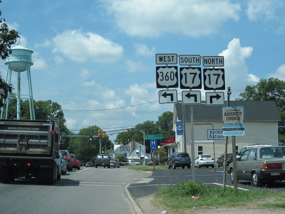
| Just two blocks west of Water Lane is the U.S. 360 merge with U.S. 17 south on Tidewater Trail. 06/25/10 |
|
| U.S. 17 journeys northwest 26 miles to U.S. 301 at Port Royal and 46 miles to Fredericksburg. U.S. 17 south & 360 west coincide with one another 5.5 miles southwest to Brays Fork. 06/25/10 |
Page Updated 02-13-2013.