|
| Approaching County Line Road along Wis 57 south. County Line Road connects STH-57 with adjacent CTH-DK south to Red River County Park. 05/30/11 |
|
| Reassurance marker poster for STH-57 south after County Line Road. CTH-DK remains alongside the expressway south to Macco Road. 05/30/11 |
|
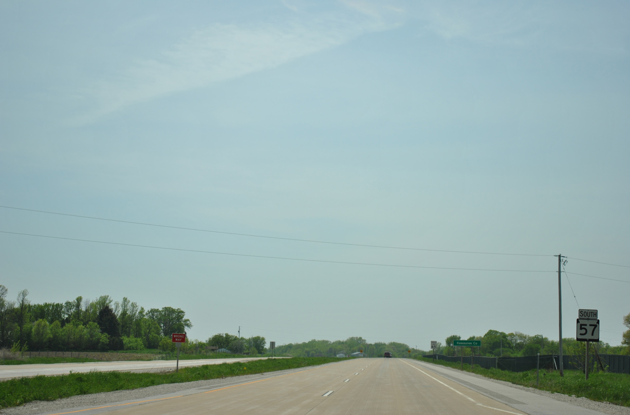
| Wis 57 travels just 3.5 miles southwest through the corner of Kewaunee County. 05/30/11 |
|
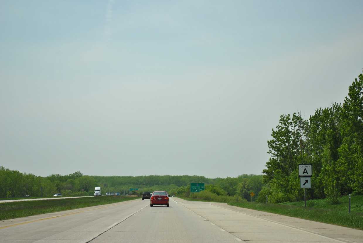
| CTH-X drops south from the Door County line to Duvall to end at STH-57. 05/30/11 |
|
| STH-57 south at CTH-X east in the town of Red River. 05/30/11 |
|
| The Wis 57 expressway runs between CTH-DK and Bay View Road south from CTH-X to Macco Road outside Dyckesville. 05/30/11 |
|
| Wis 57 upgrades to a freeway for 1.7 miles as it bypasses Dyckesville from Macco Road to CTH-P. 05/30/11 |
|
| County Trunk Highway DK forms a business route through Dyckesville to the diamond interchange with Wis 57 and CTH-P. 05/30/11 |
|
| Drivers along STH-57 south enter the Town of Green Bay and Brown County midway between the CTH-S overpass and off-ramp to Sturgeon Bay Road (CTH-DK). 05/30/11 |
|
| CTH-DK ends from the north as CTH-P takes over southward to Sugar Bush, Henrysville and Fontenoy in eastern Brown County. 05/30/11 |
|
| Wis 57 reverts to an expressway as it overtakes the original two lane alignment (Rock Falls Road) west by Bayshore County Park. 05/30/11 |
|
| The Green Bay city center is 15 miles to the southwest along STH-57. Chilton, seat of Calumet County, appears on this distance sign at 54 miles out. 05/30/11 |
|
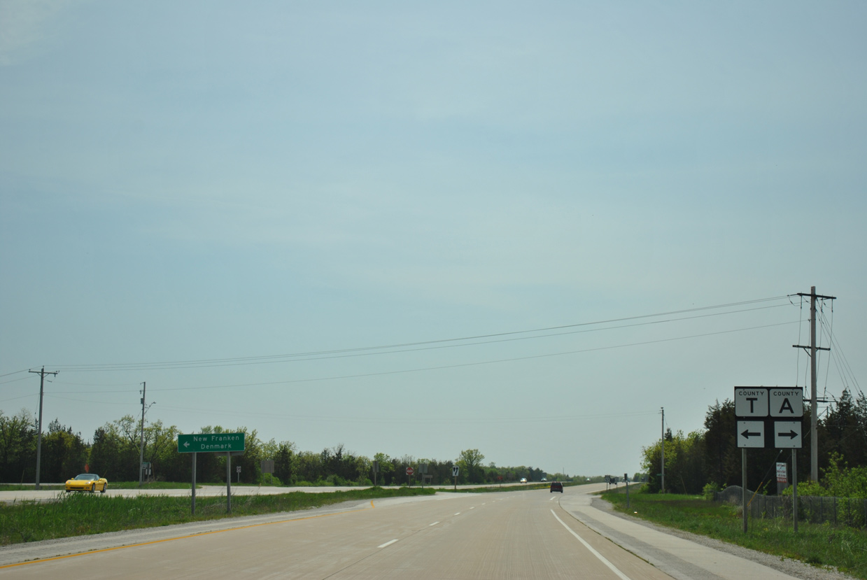
| Turning southward, Wis 57 next approaches the intersection with CTH-A (Nicolet Drive) south and CTH-T (New Franken Road) south. 05/30/11 |
|
| CTH-T runs the height of Brown County south from Wis 57 to New Franken, Humboldt and the village of Denmark. CTH-A ventures west to Benderville as the former two lane route of STH-57. 05/30/11 |
|
| Continuing south, STH-57 travels through the Red Banks Alvar State Natural Area over the next two miles. 05/30/11 |
|
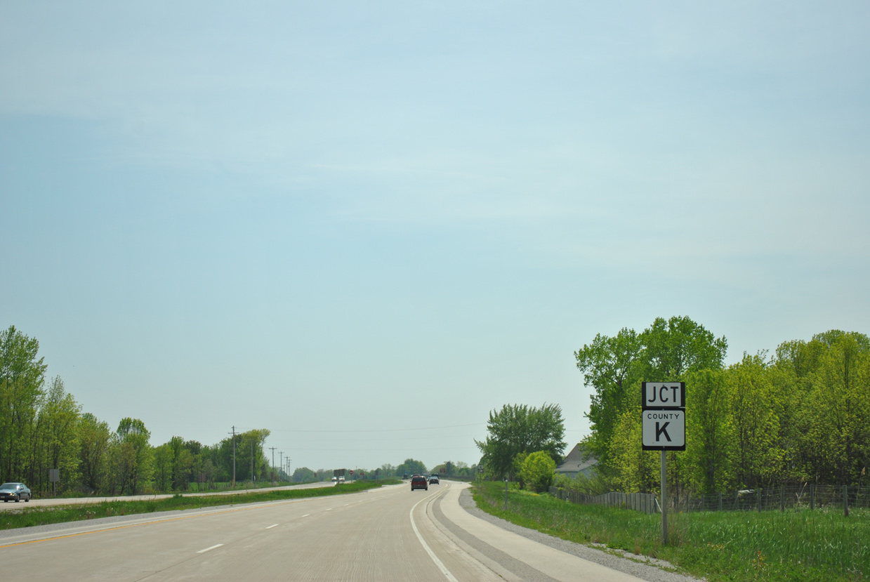
| Nearing the north junction with CTH-K (Fisher Road) on STH-57 south. 05/30/11 |
|
| CTH-K west connects Wis 57 with CTH-A (Nicolet Drive) near Point Sable on Green Bay. 05/30/11 |
|
| CTH-K resumes east from Wis 57 (Sturgeon Bay Road) to Champion. 05/30/11 |
|
| The north end of Bay Settlement Road ties into STH-57 at CTH-K (Champion Road) east. Bay Settlement Road branches southwest to Wequiock as the former alignment of STH-78 and STH-57. 05/30/11 |
|
| The expressway stays east of Wequiock and Bay Settlement to eastern reaches of the Green Bay city limits. 05/30/11 |
|
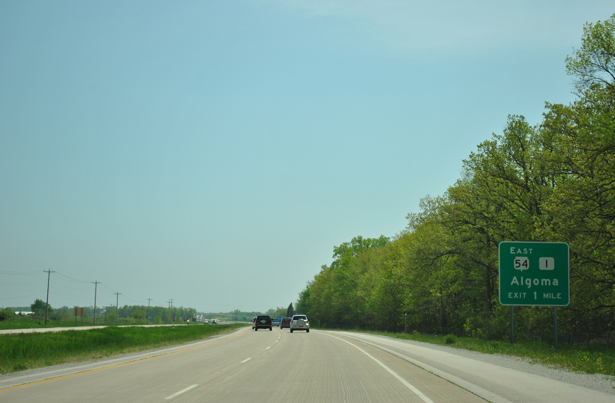
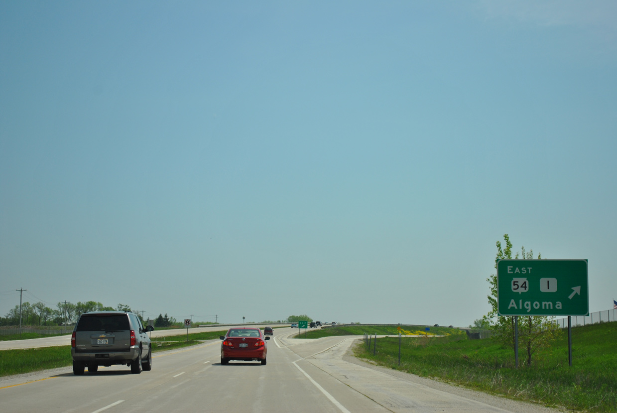
| Wis 54 (Algoma Road) travels 23 miles west from Wis 42 and the city of Algoma to meet Wis 57 opposite CTH-I at a diamond interchange. 05/30/11 |
|
| Wis 54/57 overlap for eight miles through the city of Green Bay. 05/30/11 |
|
| STH-54 forms a 243 mile route from Algoma to the Minnesota state line in southern Buffalo County. CTH-I extends Algoma Road west from the trunk highway 2.1 miles to CTH-A (Nicolet Drive) in suburban areas of north Green Bay. 05/30/11 |
|
| Wis 54/57 travel a freeway west to Interstate 43. Departing next is the off-ramp for CTH-EA (Huron Road) south and Bay Settlement Road north. 05/30/11 |
|
| Bay Settlement Road originates in the town of Scott to the north to parallel STH-57 south to a folded diamond interchange with CTH-EA (Huron Road). The local road is the pre-expressway alignment of Wis 57. 05/30/11 |
|
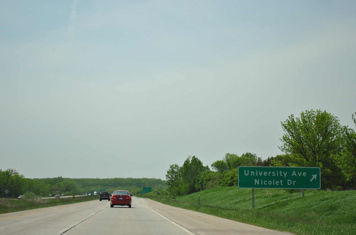
| Continuing west, Wis 54/57 approach a parclo interchange with Nicolet Drive (CTH-A) north and University Avenue south. University Avenue provides a local route west into Green Bay as the former alignment of both Wis 54/57 to just beyond I-43. 05/30/11 |
|
| Drivers depart Wis 54/57 westbound for University Avenue west and Nicolet Drive north to the University of Wisconsin-Green Bay. 05/30/11 |
|
| CTH-A returns to STH-57 after running along the east shore of Green Bay from Red Banks south to UW-Green Bay. 05/30/11 |
|
| The Wis 54/57 freeway concludes just beyond the forthcoming directional cloverleaf interchange with Interstate 43. 05/30/11 |
|
| Beyond Interstate 43, STH-54/57 south transition to University Avenue, a multi lane boulevard leading to Downtown 01/21/16 |
|
| An auxiliary lane accompanies Wis 54/57 west to the northbound off-ramp for Interstate 43. A loop ramp follows for Interstate 43 south to Manitowoc, Sheboygan and Milwaukee. 01/21/16 |
|
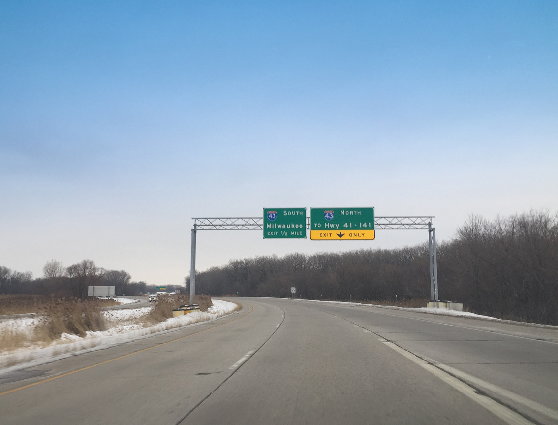
| This set of signs was posted previously ahead of Interstate 43. They were replaced by 2012.
Temporary changes were implemented here in 2013 during the emergency closure of the Leo Frigo Bridge (I-43) across the Fox River as well. The northbound ramp was signed to reference just Webster Avenue during that time. 05/30/11 |
|
| I-43 runs westward along Bay Beach Wildlife Sanctuary to the Leo Frigo Bridge across the Fox River en route to Interstate 41 and U.S. 41-141. 01/21/16 |
|
| Another set of sign changes were made at the I-43 northbound off-ramp by 2012. The replacement includes a black outline around the Exit Only portion of the sign. The Highway 41-141 reference could also reference Interstate 41 as well. 05/30/11 |
|
| STH-54/57 shift onto University Avenue while Interstate 43 encircles the city southeast to Bellevue. 05/30/11 |
Page Updated 02-16-2016.