|
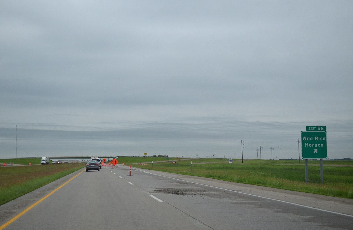
| I-29/U.S. 81 advance three miles south from the Fargo city limits to Exit 56 with Cass County 14 (100th Avenue South). The city of Horace, a growing bedroom community for Fargo, lies 3.5 miles to the west. 06/17/15 |
|
| Entering the diamond interchange (Exit 56) with Cass County 14 (100th Avenue South) on I-29/U.S. 81 south. Overall the county road travels ten miles between CR 81 (old U.S. 81) near the settlement of Wild Rice and CR 15 in Warren township. 06/17/15 |
|
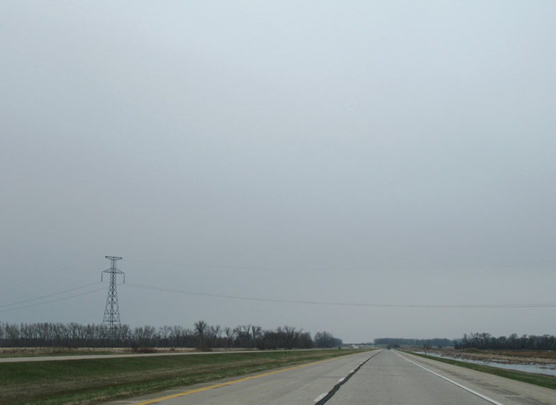
| I-29/U.S. 81 shift one half mile to the southeast ahead of St. Benedict. 06/17/15 |
|
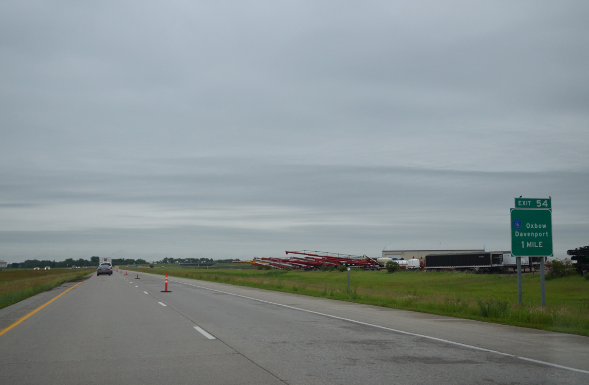
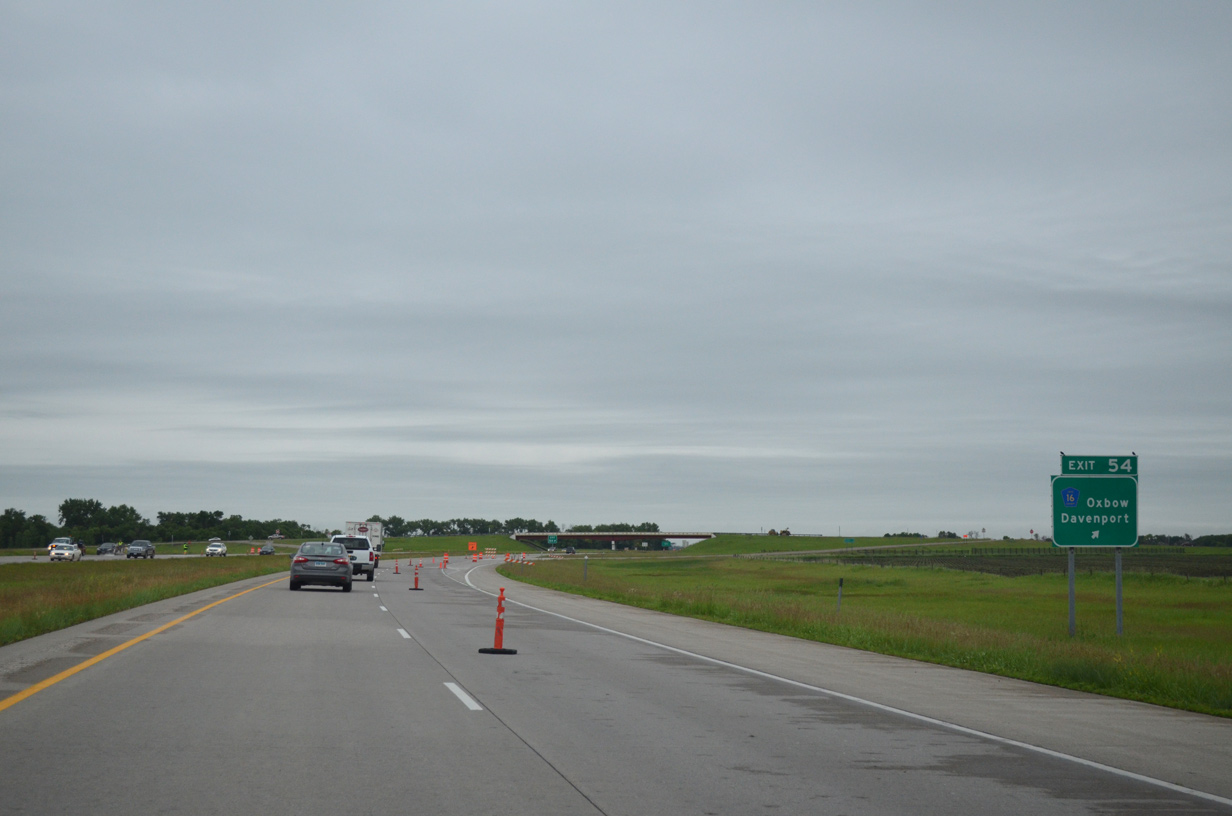
| Meeting the freeway next is Cass County 16 (124th Avenue South), an east-west route joining I-29/U.S. 81 with the city of Davenport 11 miles to the west. 06/17/15 |
|
| Southbound at the diamond interchange (Exit 54) with Cass County 16 (124th Avenue South) on I-29/U.S. 81 south. CR 16 continues east 1.4 miles to CR 81 (old U.S. 81), 3.6 miles north of Oxbow. 06/17/15 |
|
| I-29/U.S. 81 continue due south across the Wild Rice River through Pleasant township. 06/17/15 |
|
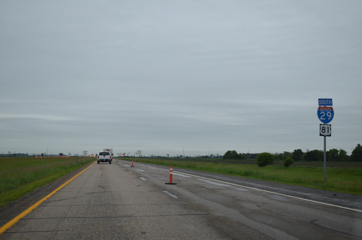
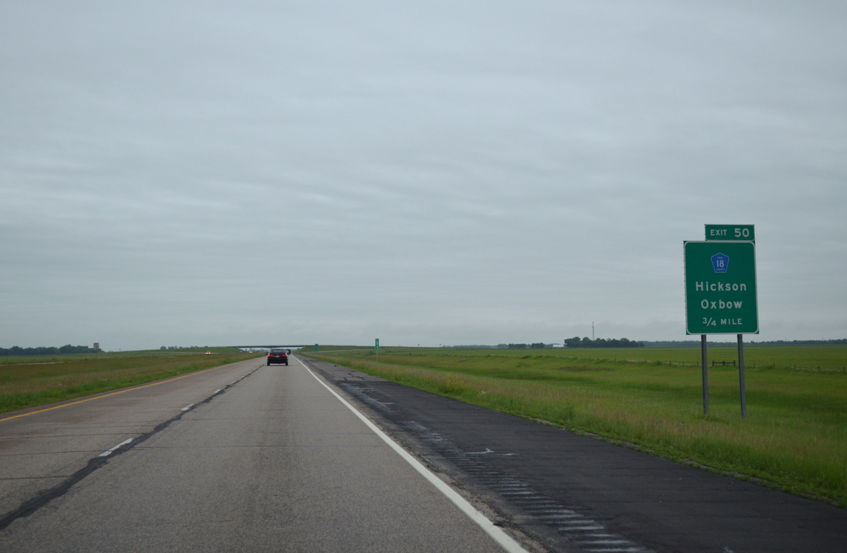
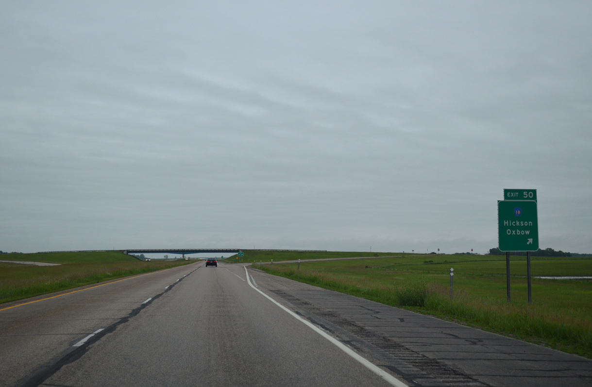
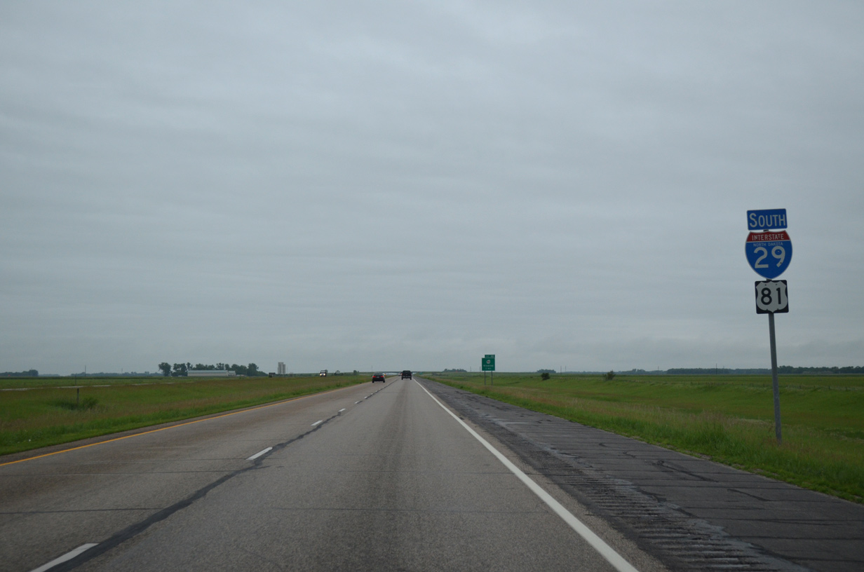
| Continuing the county road theme, I-29/U.S. 81 next meet Cass County 18. CR 18 travels 3.5 miles west from a diamond interchange (Exit 50) with I-29 to CR 17. 06/17/15 |
|
| Cass County 18 (52nd Street SE) heads east from Exit 50 through Oxbow to connect with Clay County 2 to Comstock, Minnesota. Hickson lies just north of CR 15 via CR 81 (old U.S. 81) within the Oxbow city limits. 06/17/15 |
|
| I-29/U.S. 81 parallel Cass County 81 one half mile to the west to the Richland County line. 06/17/15 |
|
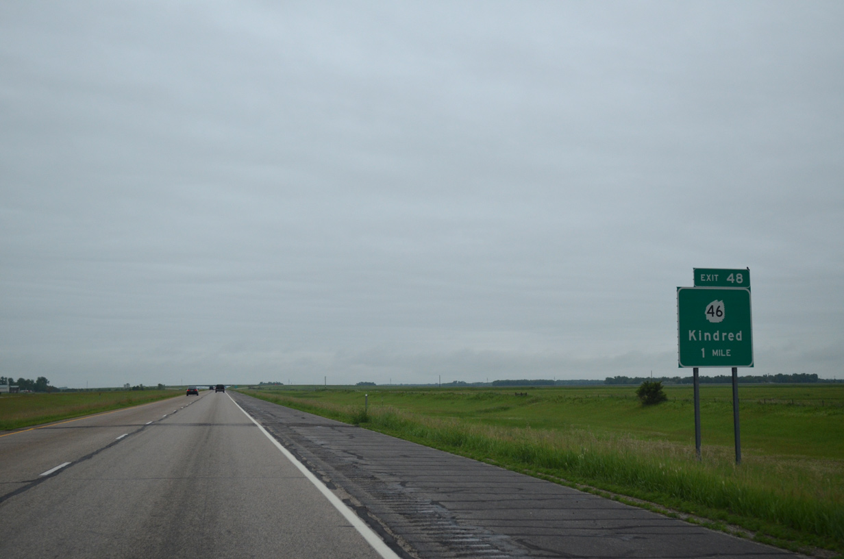
| I-29/U.S. 81 progress south to within one mile of the diamond interchange (Exit 48) with North Dakota 46 (54th Street SE). ND 46 is the first state highway encountered by I-29 since ND 200 (Exit 100) in Traill County. 06/17/15 |
|
| North Dakota 46 commences a 121 mile route route to North Dakota 30 near Streeter at Exit 48. The state highway crosses paths with U.S. 281 to the south of Jamestown in 89 miles. 04/22/07 |
|
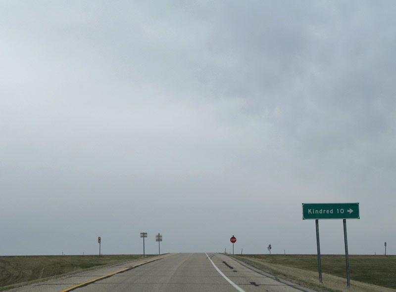
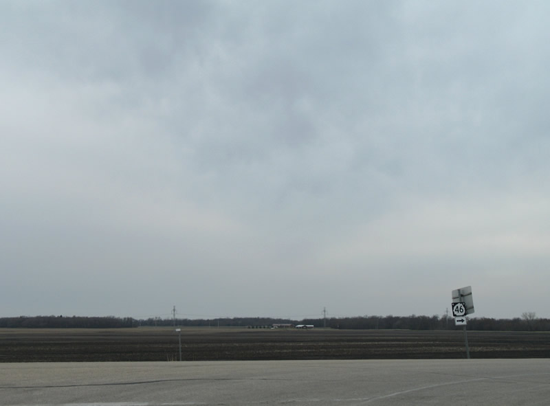
| North Dakota 46 (54th Street SE) straddles the Richland County line west 9.5 miles to the city of Kindred. 04/22/07 |
|
| North Dakota 46 west also serves interests to the Sheyenne River Valley National Scenic Byway and Fort Ransom State Park. 04/22/07 |
|
| Entering Richland County, I-29/U.S. 81 shift another one half mile east near the settlement of Lithia. 06/17/15 |
|
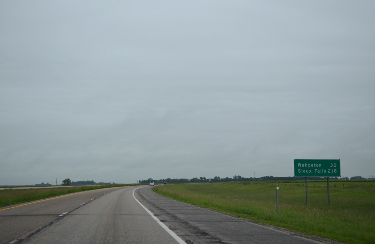
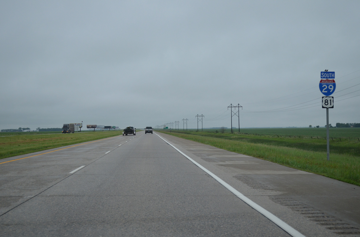
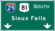
| Wahpeton, seat of Richland County, lies 35 miles ahead via North Dakota 13 east from Exit 23. Sioux Falls is still over 200 miles away. 06/17/15 |
|
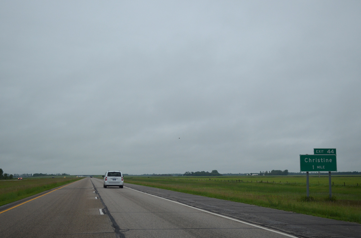
| Nearing the city of Christine (Exit 44) on I-29/U.S. 81 south. The final ten North Dakota interchanges lie within Richland County. 06/17/15 |
|
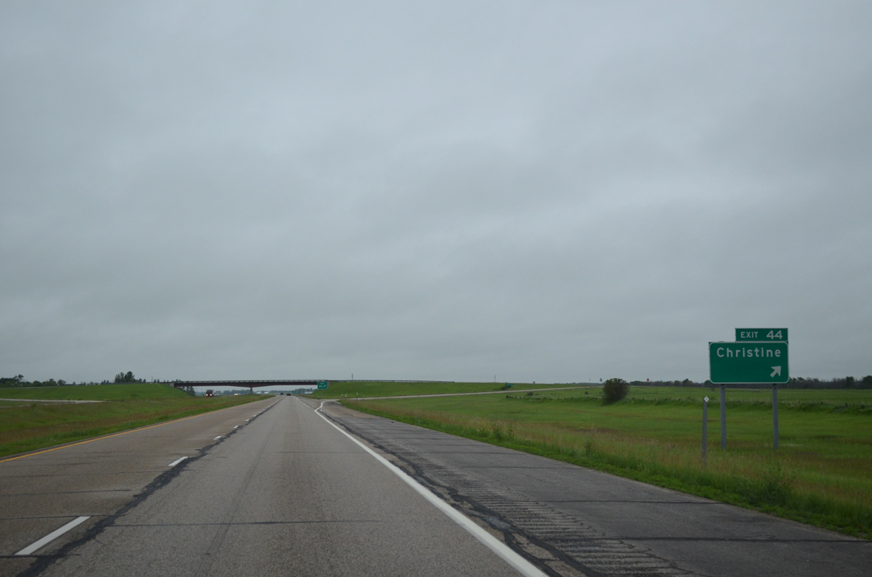
| I-29/U.S. 81 south at the diamond interchange (Exit 44) with 58th Street SE and County Road 2N east. Christine resides at the crossroads of 58th Street SE and old U.S. 81, one half mile east. CR 2N otherwise travels 3.4 miles between Exit 44 and CR 10 near Wolverton, Minnesota. 06/17/15 |
|
| Confirming markers for I-29/U.S. 81 south posted after Exit 44 in Eagle township. 06/17/15 |
|
| Richland County 2 (60th Street SE) ventures west 2.1 miles from old U.S. 81 (CR 81) to cross paths with I-29/U.S. 81 at Exit 42. 06/17/15 |
|
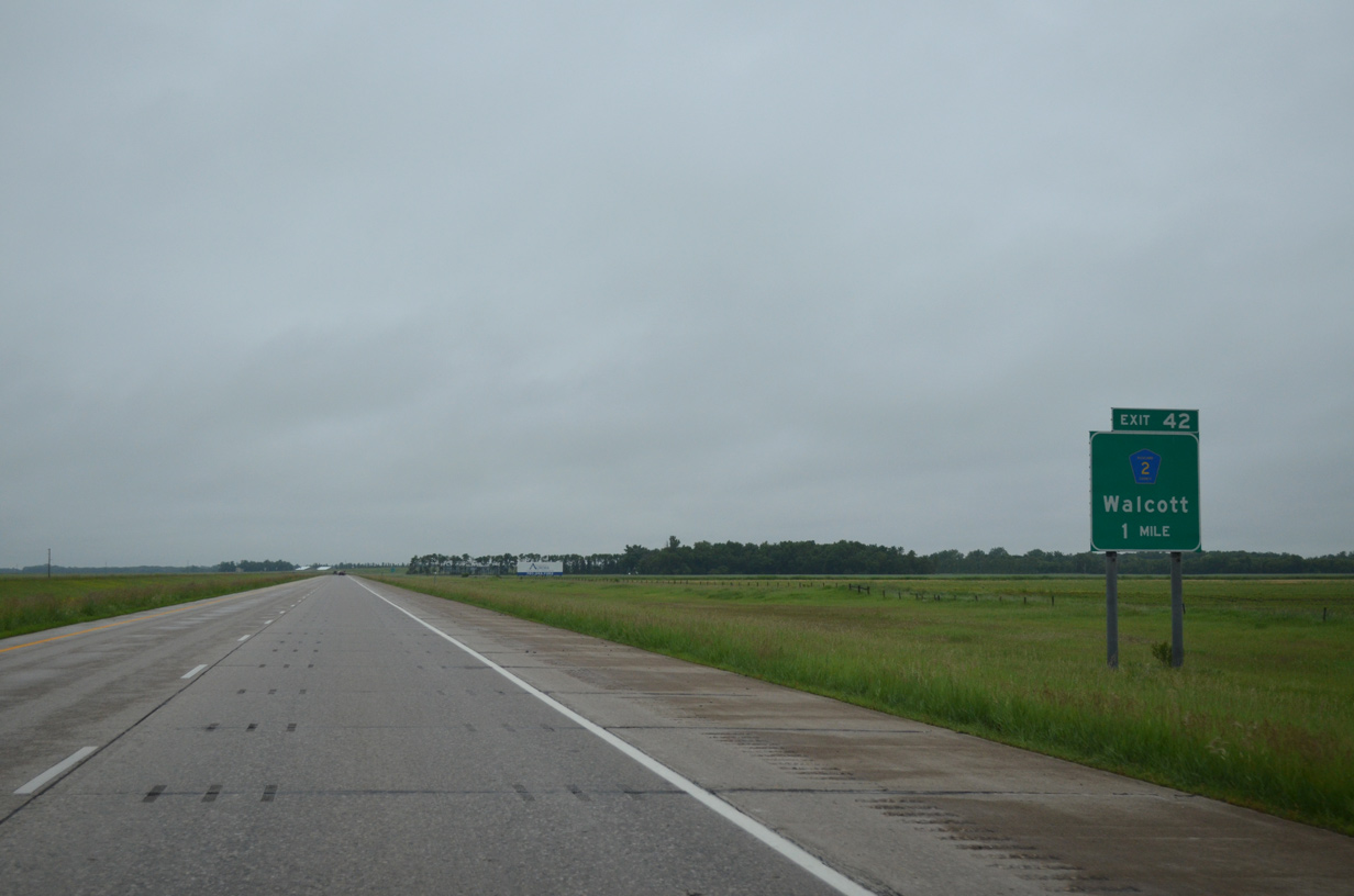
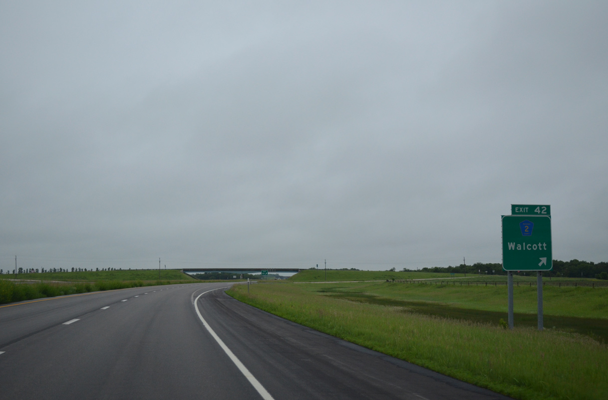
| County Road 2 (60th Street SE) heads 5.2 miles west from the diamond interchange (Exit 42) with I-29 to the city of Walcott. 06/17/15 |
|
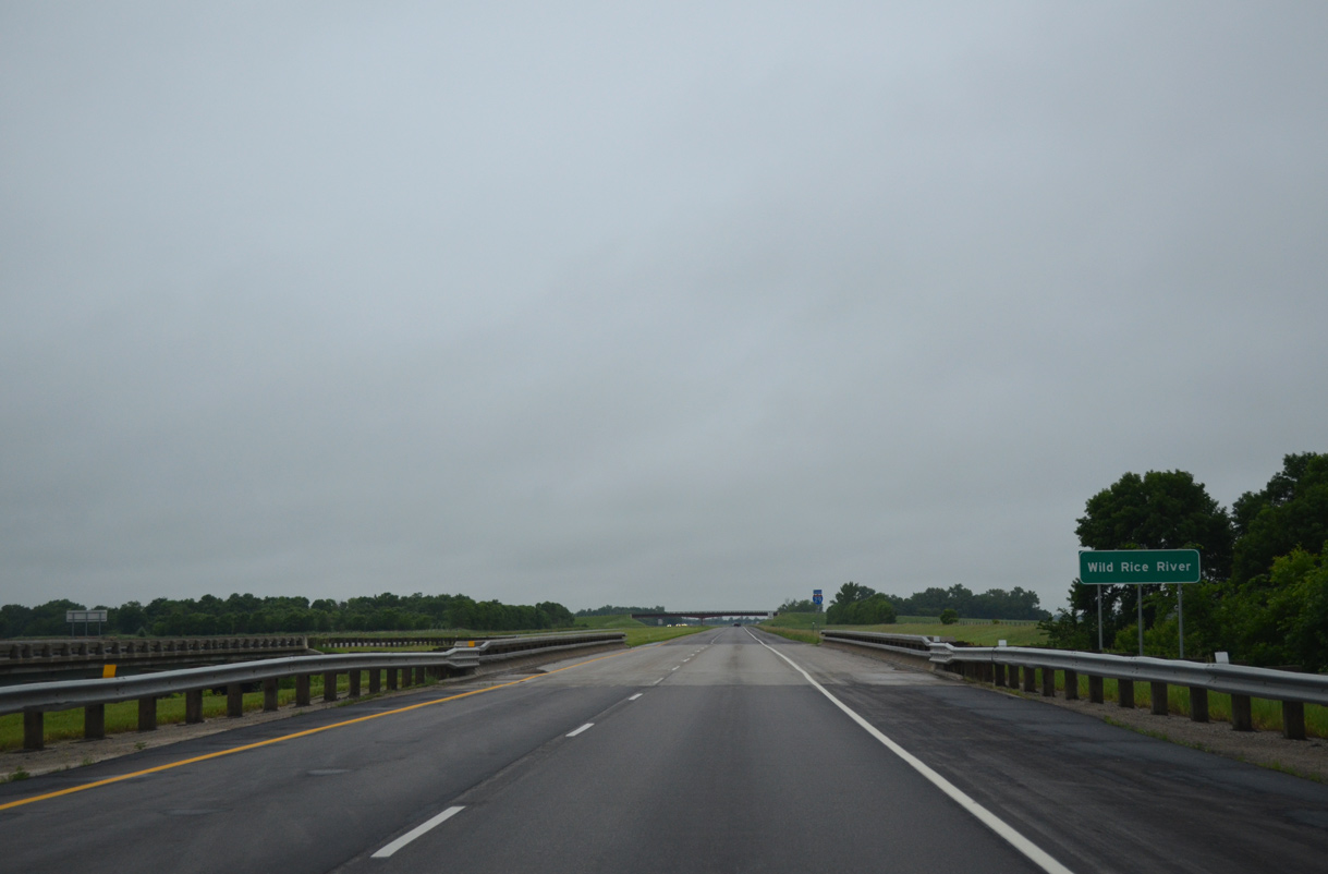
| Interstate 29 and the Wild Rice River converge 12.2 miles south of their prior meeting in Cass County. The waterway flows north to the Red River. 06/17/15 |
|
| Southbound reassurance marker for I-29 posted midway between the Wild River River and the 61st Street SE overpass. A bent U.S. 81 shield was posted here in 2007 as well. 06/17/15 |
|
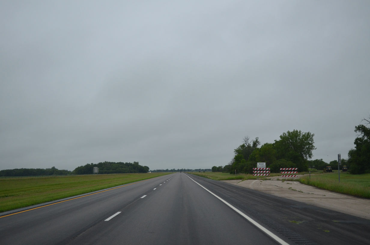
| A pair of shuttered rest areas line I-29/U.S. 81 within Colfax township. 06/17/15 |
|
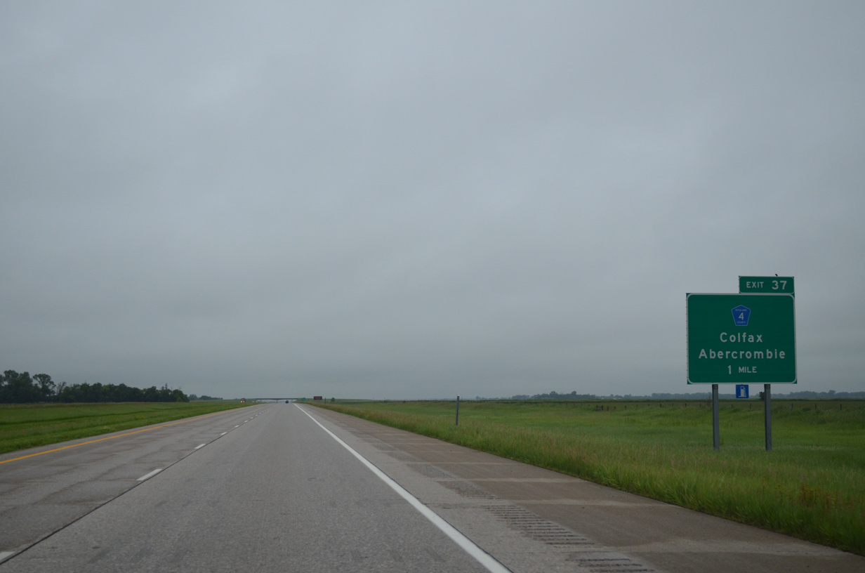
| Richland County 4 (65th Street SE) crosses paths with I-29/U.S. 81, 1.5 miles east of the Colfax city limits at Exit 37. 06/17/15 |
|
| Southbound I-29/U.S. 81 at the diamond interchange (Exit 37) with Richland County 4 (65th Street SE). CR 4 continues 4.25 miles east to end at CR 81 (old U.S. 81), 1.5 miles north of Abercrombie and nearby Fort Abercrombie State Historic Site. 06/17/15 |
|
| I-29/U.S. 81 bee line south across agricultural areas to Exit 26. 06/17/15 |
|
| I-29/U.S. 81 elevates to cross over a Red River Valley and Western Railroad line to the southeast of Pitcairn. 04/22/07 |
|
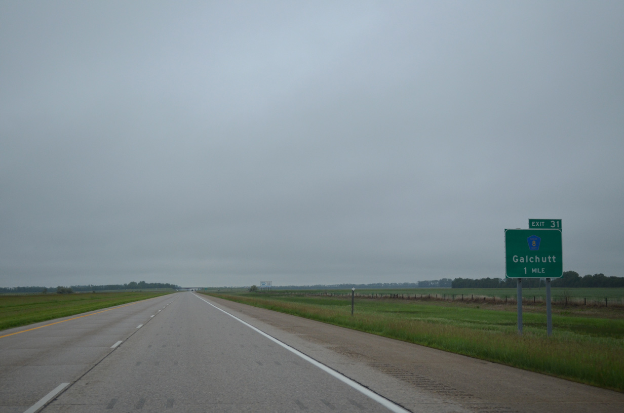
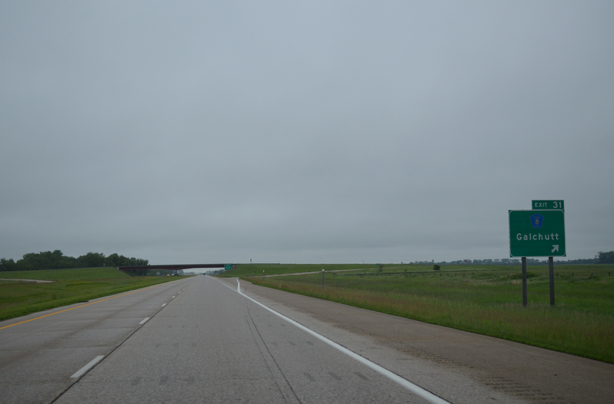
| Meeting the freeway at Exit 31 is Richland County 8 (71st Street SE). CR 8 heads east one mile to the settlement of Galchutt. 06/17/15 |
|
| Exit 31 to Richland County 8 (71st Street SE) departs I-29/U.S. 81 south. CR 8 travels 13.3 miles east from the diamond interchange with I-29 to provide part of a back road route to Wahpeton with CR 10 east and CR 87 south. 06/17/15 |
|
| A series of tree lines separate adjoining farm land as I-29/U.S. 81 advance southward through Abercrombie township beyond these confirming shields. 06/17/15 |
|
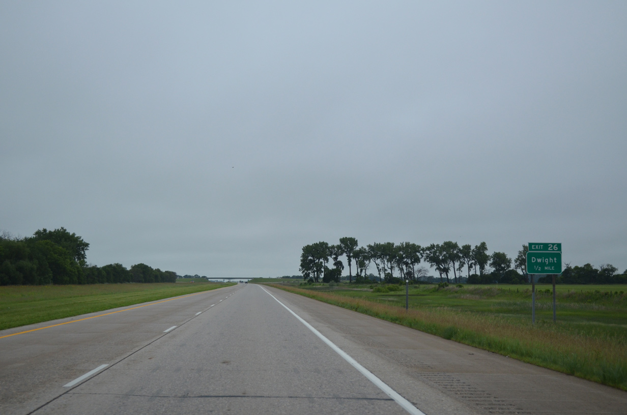
| Exit 26 is even more remote then Exit 31 to Galchutt, joining I-29/U.S. 81 with County Road 10 (76th Street SE) five miles west of Dwight. 06/17/15 |
|
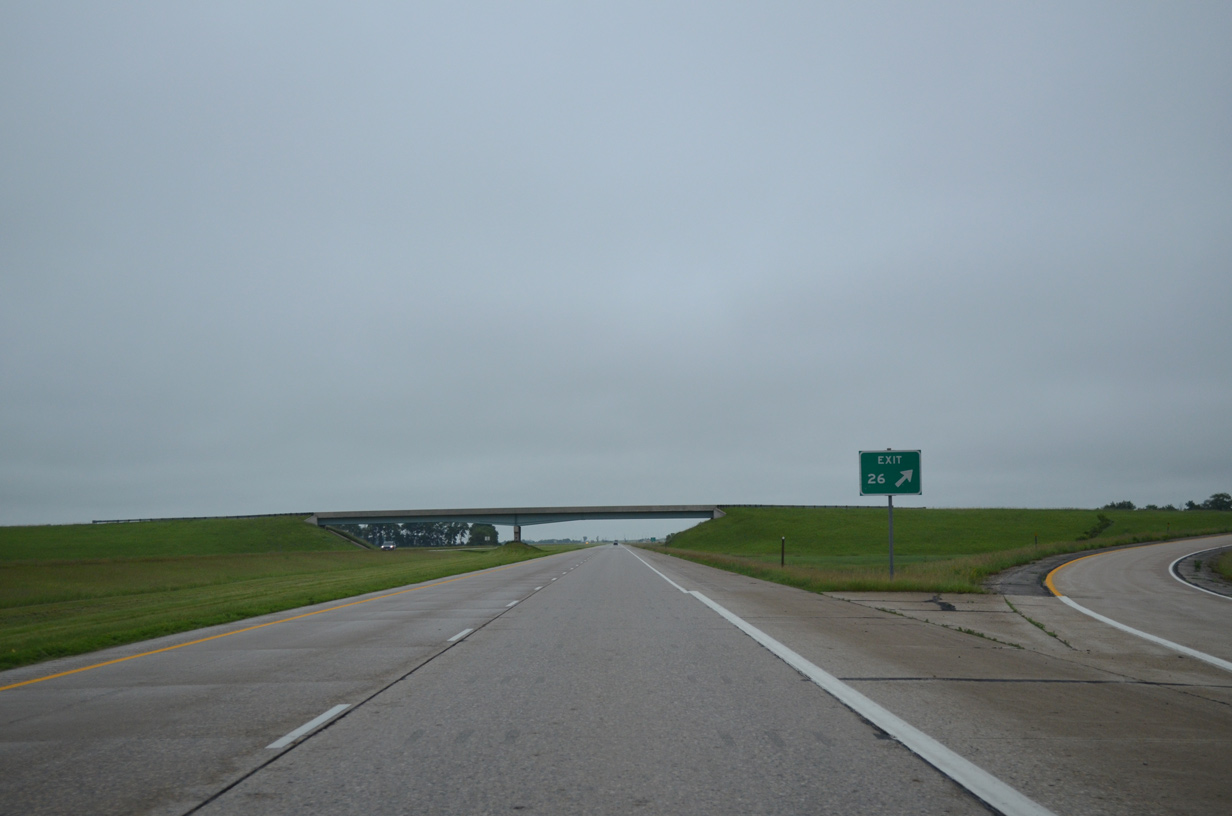
| A diamond interchange (Exit 26) links I-29/U.S. 81 with County Road 10 (76th Street SE). CR 10 travels the width of Richland County from the Ransom County line to CR 87 north of Wahpeton.
The signing practice for Exit 26, with just the lone guide sign posted one half mile out, is a standard practice for ranch exits borrowed from the Montana Department of Transportation (MDT). 06/17/15 |
|
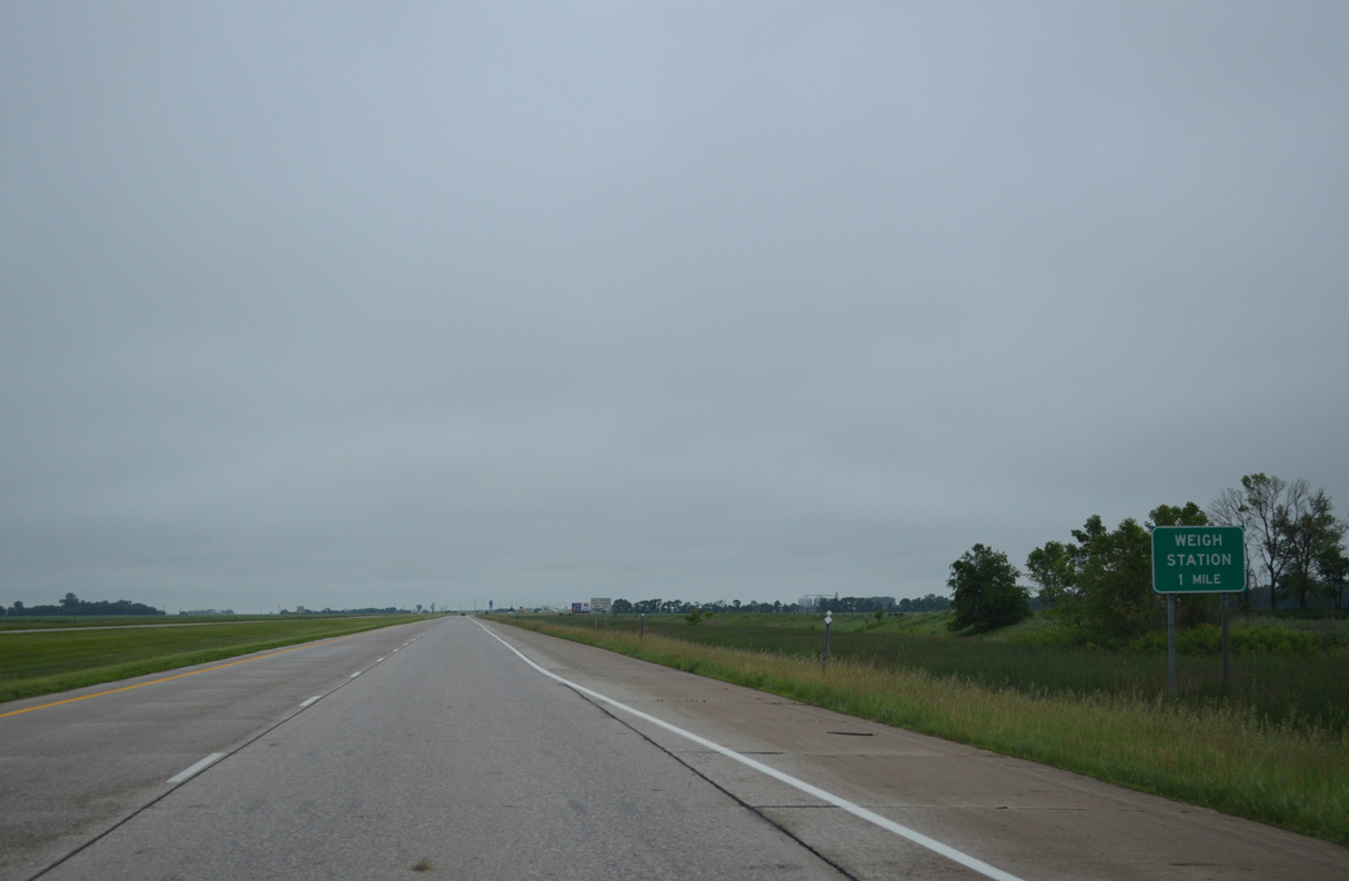
| A truck weigh station resides within the median of I-29/U.S. 81 midway between Exits 26 and 23B/A. 06/17/15 |
|
| I-29/U.S. 81 parallel County Road 12 (171st Avenue SE) one half mile to the east through south Isben township. CR 12 provides part of an alternate route to Mooreton from Exit 26. 06/17/15 |
|
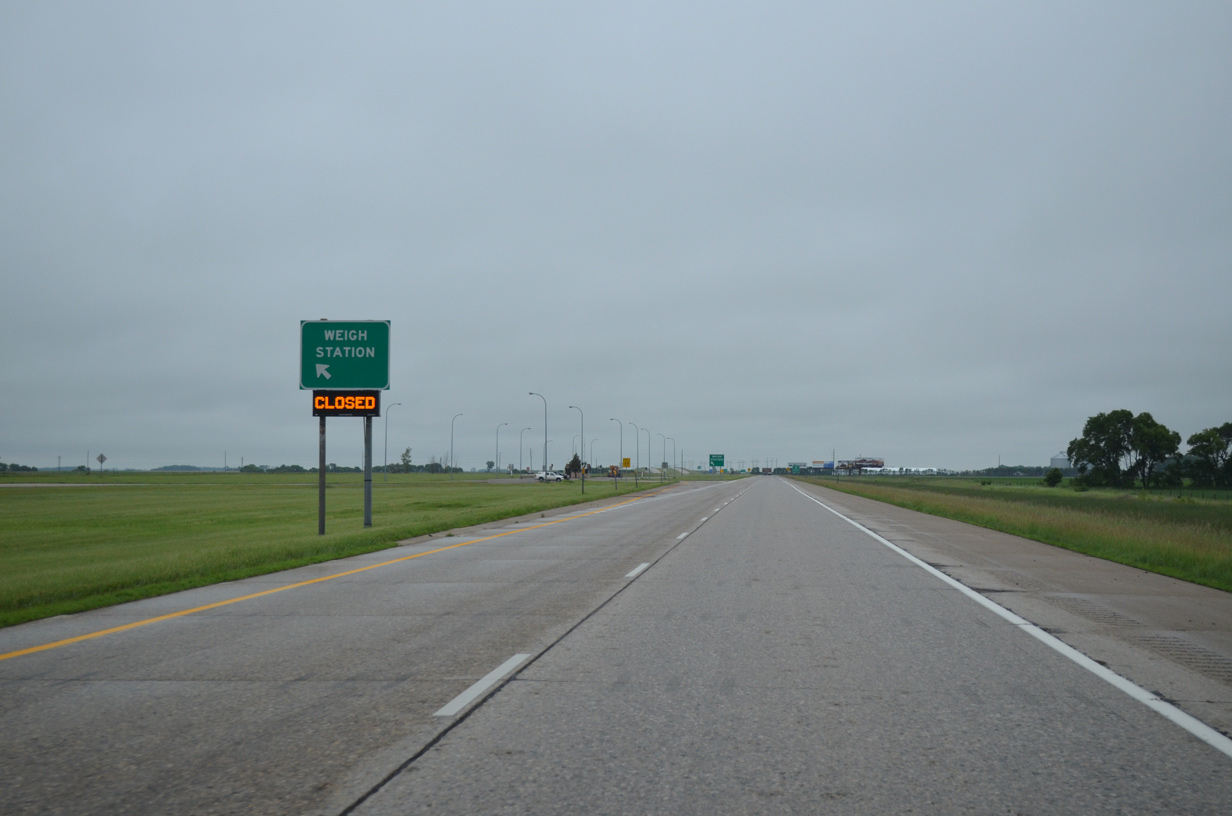
| Southbound I-29/U.S. 81 at the left-side weigh station in Richland County. 06/17/15 |
|
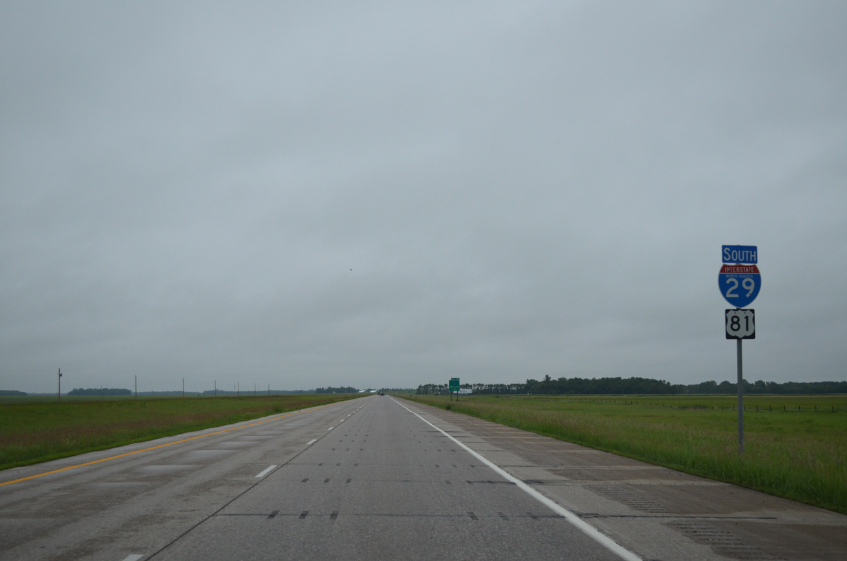
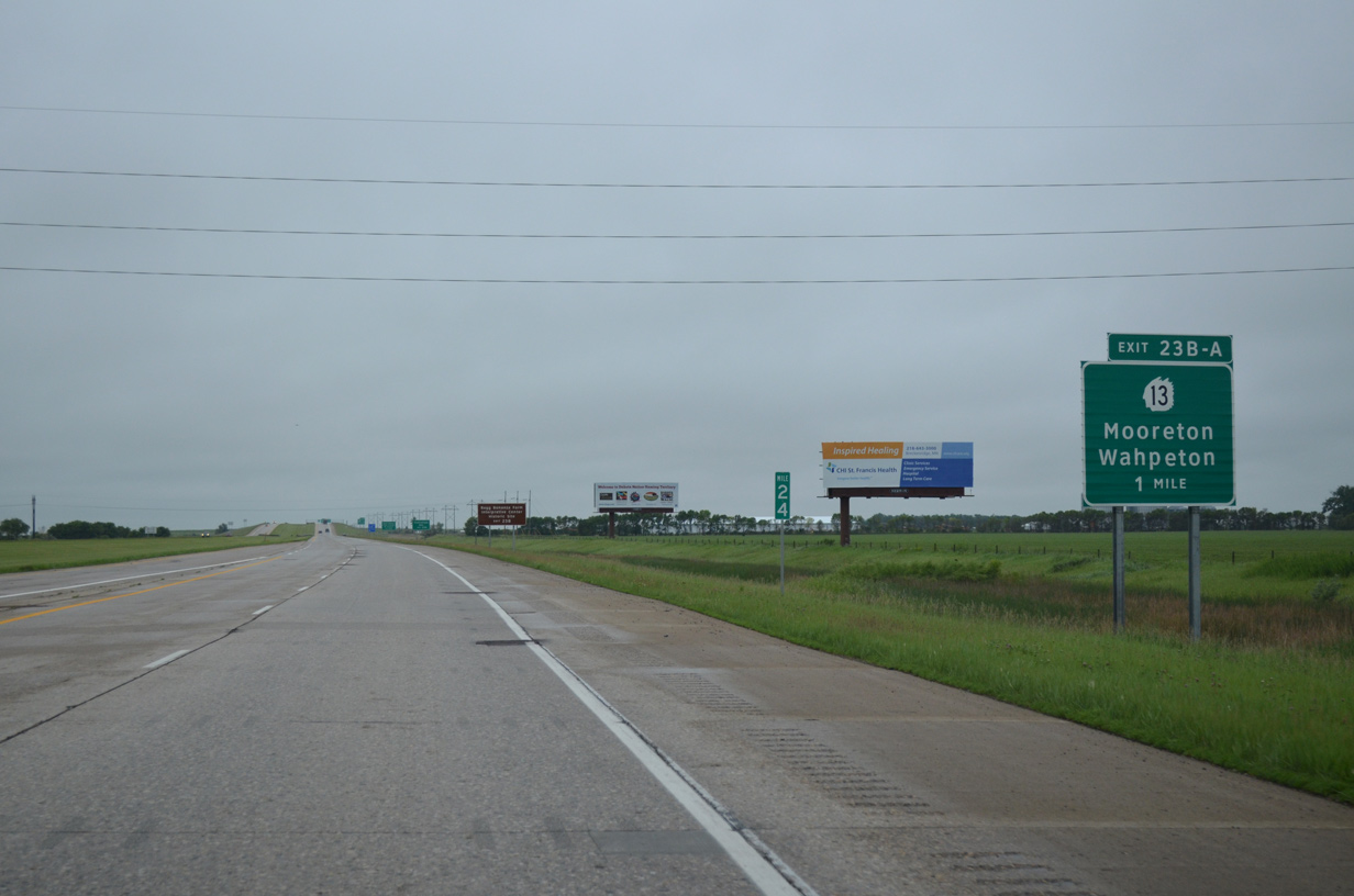
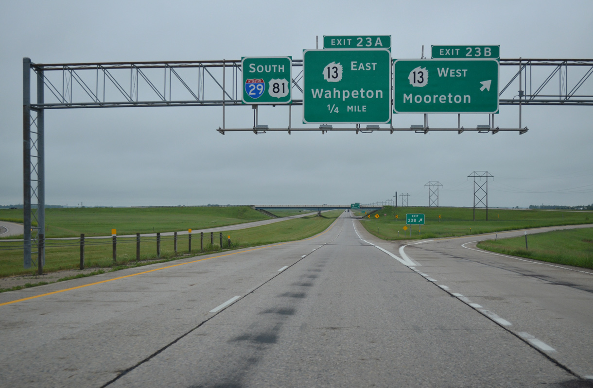
| North Dakota 13 crosses paths with I-29/U.S. 81 at a six-ramp parclo interchange ten miles west of Wahpeton. Wahpeton, with under 8,000 residents, represents the largest city south of Fargo and Interstate 94 within the state. 06/17/15 |
|
| I-29/U.S. 81 pass over the Red River Valley and Western Railroad on the one half mile approach to Exit 23B with North Dakota 13 west. Exit 23B points of interest include the Bagg Bonanza Farm at nearby Mooreton; Exit 23A includes North Dakota State College of Science and Chahinkapa Zoo. 06/17/15 |
|
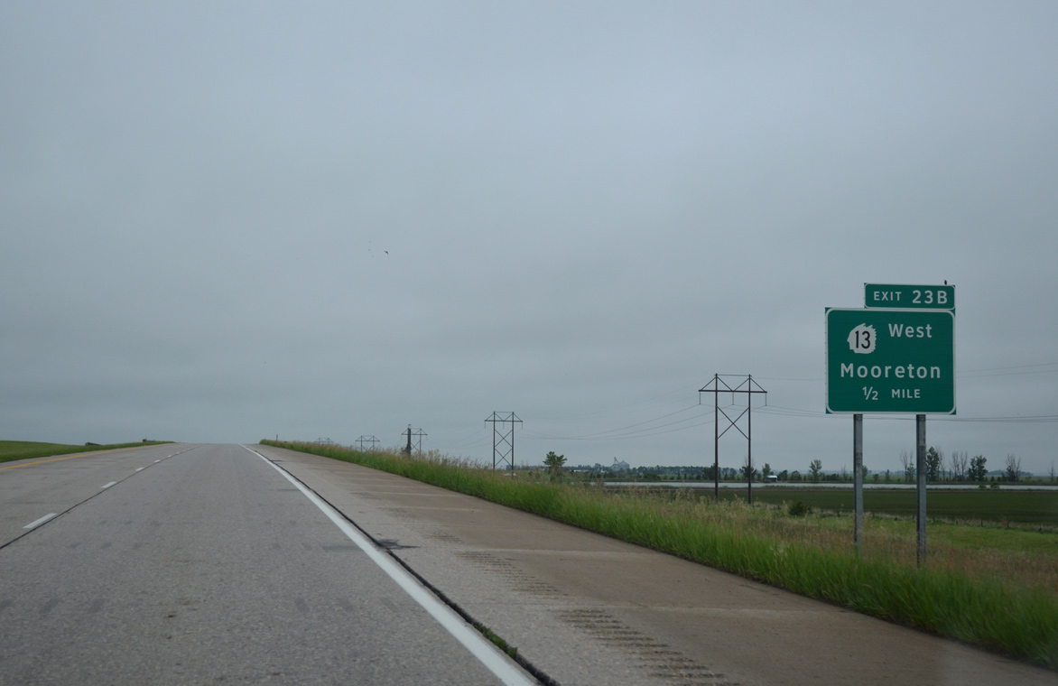
| Sign bridge posted at I-29 off-ramp (Exit 23B) for ND 13 west to Mooreton and Wyndmere. The state highway totals 202 miles between the Minnesota state line (MN 9) near Breckenridge to Linton. 06/17/15 |
|
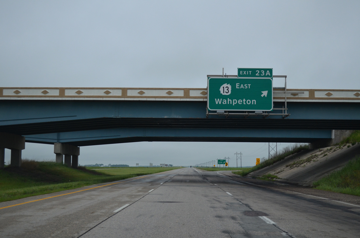
| Loop ramps join the southbound side of I-29/U.S. 81 with North Dakota 13 at Exit 23A. ND 13 constitutes a four lane divided highway east to a trumpet interchange with ND 210 in Wahepton. ND 210 provides a bypass route northeast to U.S. 75 while ND 13 follows a route into Downtown Wahpeton. 06/17/15 |
|
| Reassurance shields for I-29/U.S. 81 posted beyond the South Branch of Antelope Creek in Mooreton township. 06/17/15 |
|
| The remainder of I-29/U.S. 81 in North Dakota stays away from any town of consequence. Therefore the next junction (North Dakota 11) is referenced in place of a control city on this distance sign posted 193 miles from Sioux Falls. 06/17/15 |
|
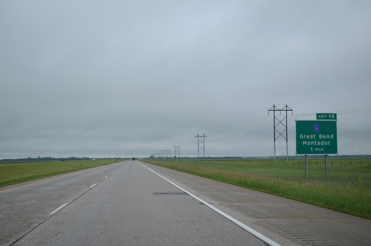
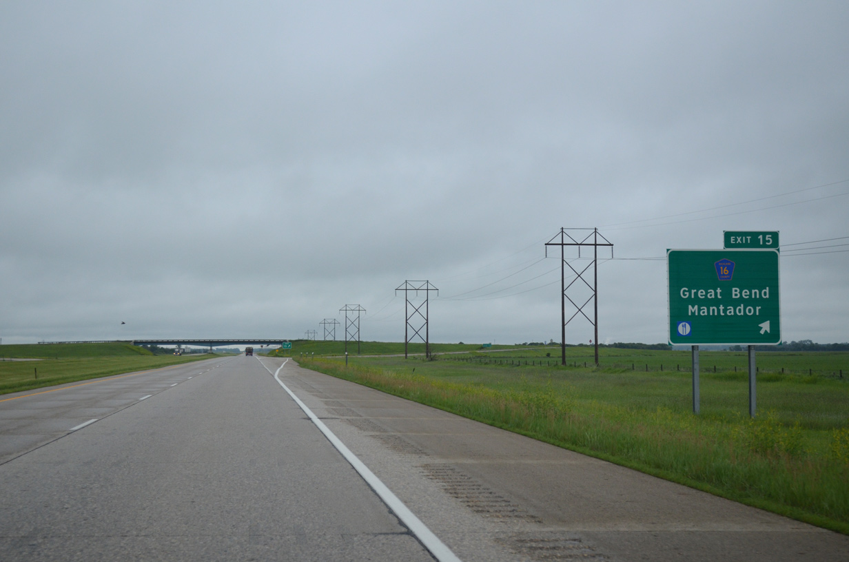
| Richland County 16 (87th Street Southeast) runs 1.4 miles east from forthcoming Exit 15 to the city of Great Bend. 06/17/15 |
|
| Richland County 16 continues west seven miles from the diamond interchange at Exit 15 to the rural city of Mantador. 06/17/15 |
|
| Just 4,680 vehicles per day (vpd) were recorded in 2015 along the 6.6 mile exit less stretch south of Exit 15. 06/17/15 |
|
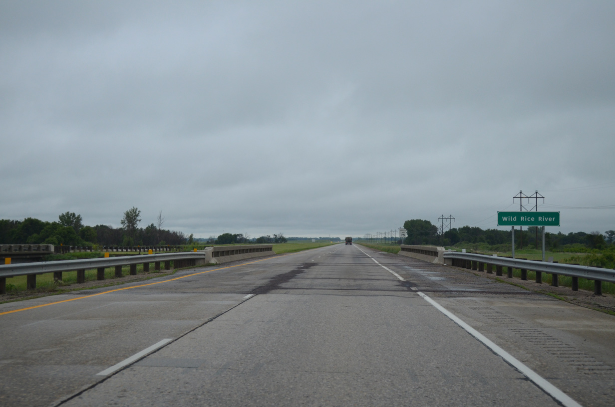
| Drivers along I-29/U.S. 81 south span the Wild Rice River for the third and final time a short distance south of County Road 16. The river flows east-west from near Hamlin in Sargent County. 06/17/15 |
|
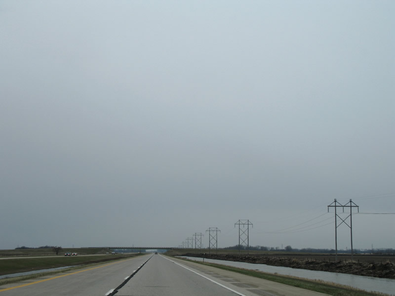
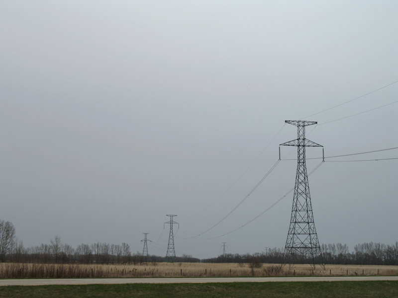
| The transmission lines that parallel I-29/U.S. 81 south from Mooreton continue toward the 92nd Street SE overpass before tying into a larger set spanning the roadway near Hankinson. 04/22/07 |
|
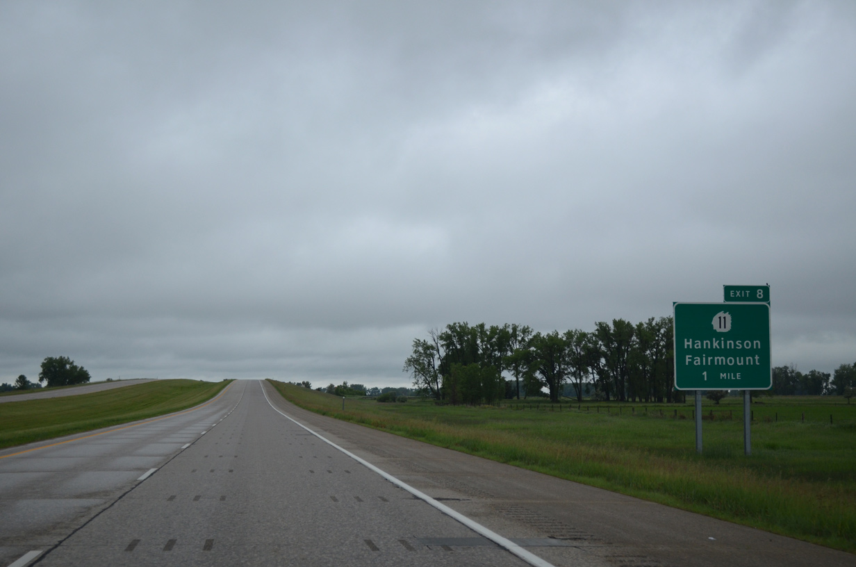
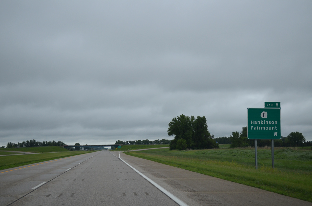
| North Dakota 11 angles southeast 2.8 miles from 6th Street and the city of Hankinson to meet I-29/U.S. 81 at a diamond interchange (Exit 8). 06/17/15 |
|
| Interstate 29/U.S. 81 south at the ramp departure (Exit 8) to ND 11. ND 11 ventures 10.5 miles east to ND 127 just outside the rural city of Fairmont. 179 miles long, the state highway heads west from MN 55 to U.S. 83 west of Hague. 06/17/15 |
|
| I-29/U.S. 81 parallel Richland County 1 to the east from Exit 8 to the state line. 06/17/15 |
|
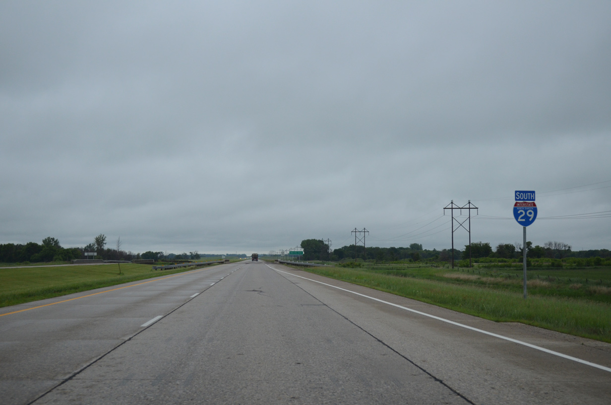
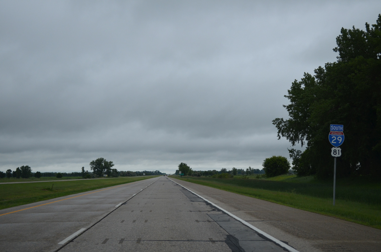
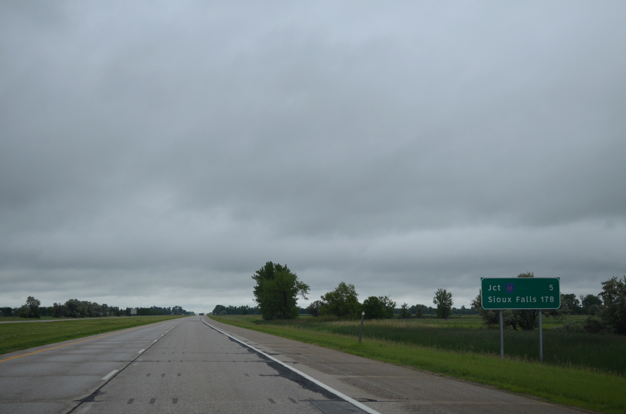
| The freeway continues five miles to Richland County 22 and 178 miles to Sioux Falls, South Dakota. 06/17/15 |
|
| Nearing the 98th Street SE overpass on I-29 south in Greendale township. 98th Street SE becomes a part of County Road 22 west of CR 1. 06/17/15 |
|
| CR 22 branches east from CR 1 along 100th Street to meet Interstate 29 at forthcoming Exit 2. 100th Street SE heads east through La Mars to intersect North Dakota 127 (old U.S. 81) in 10.5 miles. 06/17/15 |
|
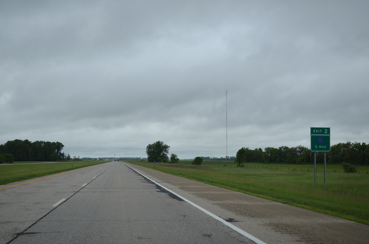
| Entering the diamond interchange (Exit 2) with Richland County Road 2 (100th Street SE) on I-29/U.S. 81 south. CR 22 forms an L-shaped route northeast 17.5 miles to ND 11 at Fairmount. The route west follows a staggered route to Sargent County. 06/17/15 |
|
| Interstate 29 makes a southwesterly turn one half mile north of the South Dakota state line to eventually traverse the bluff line at Big Slough. 06/17/15 |
|
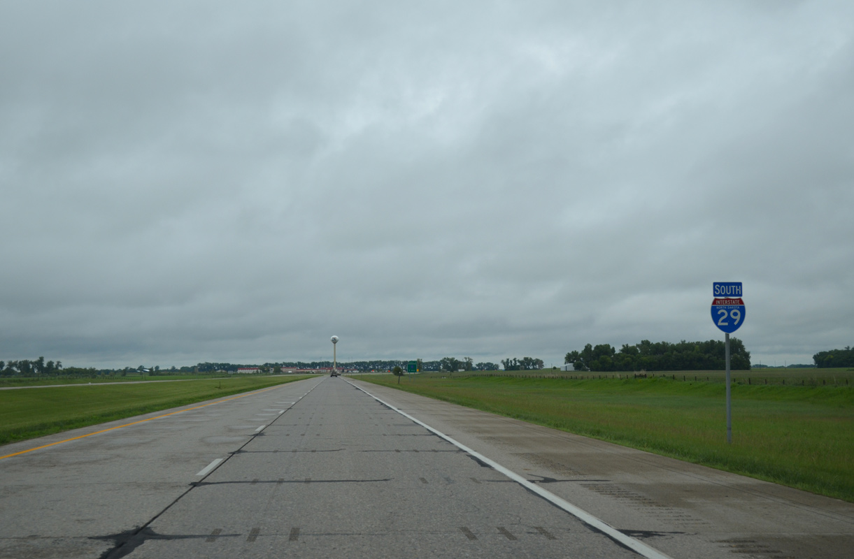
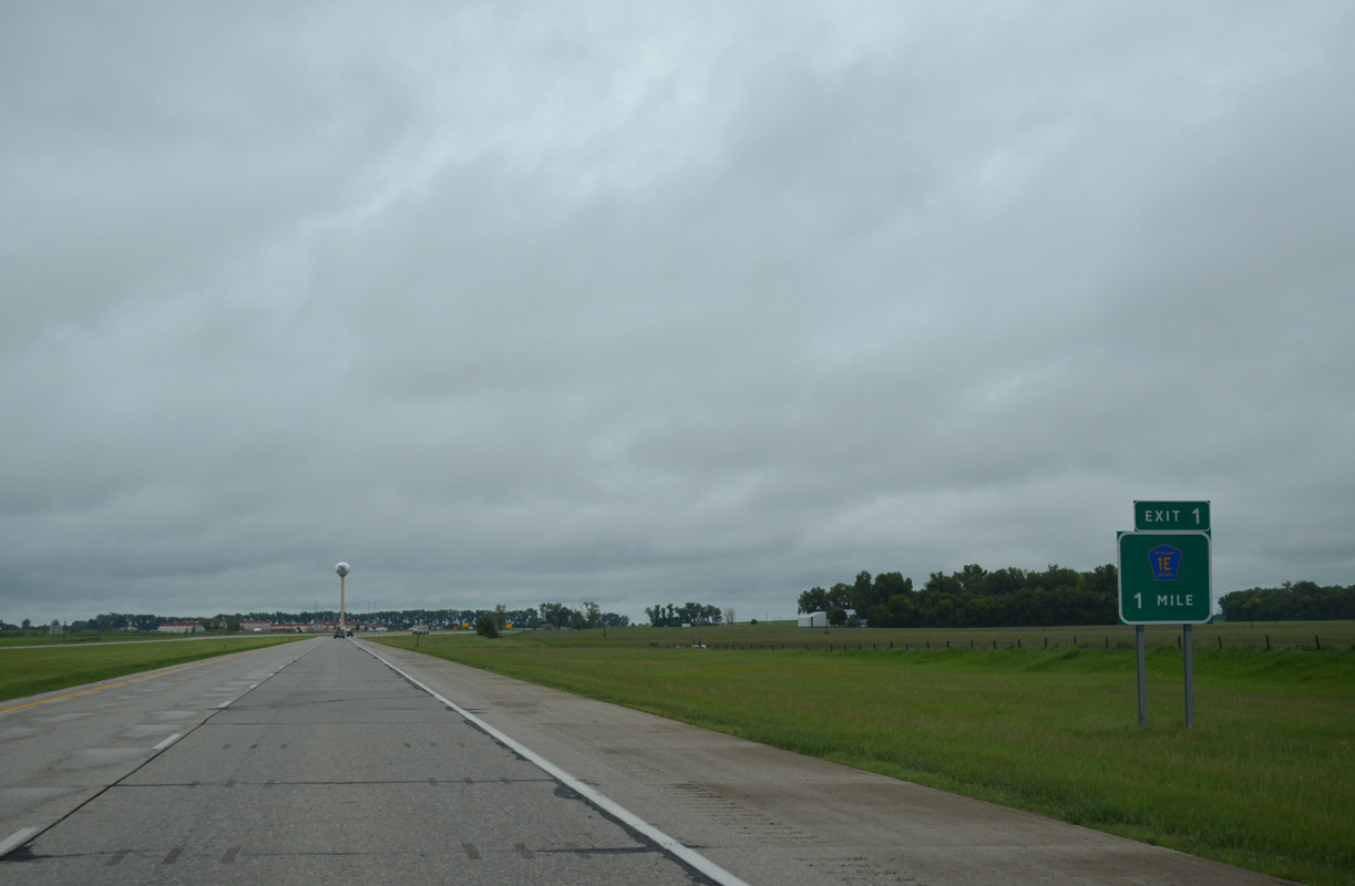
| The last North Dakota exit on I-29 south joins the freeway with County Road 1E (102nd Street SE) at the Dakota Magic Casino and Resort in one mile. 06/17/15 |
|
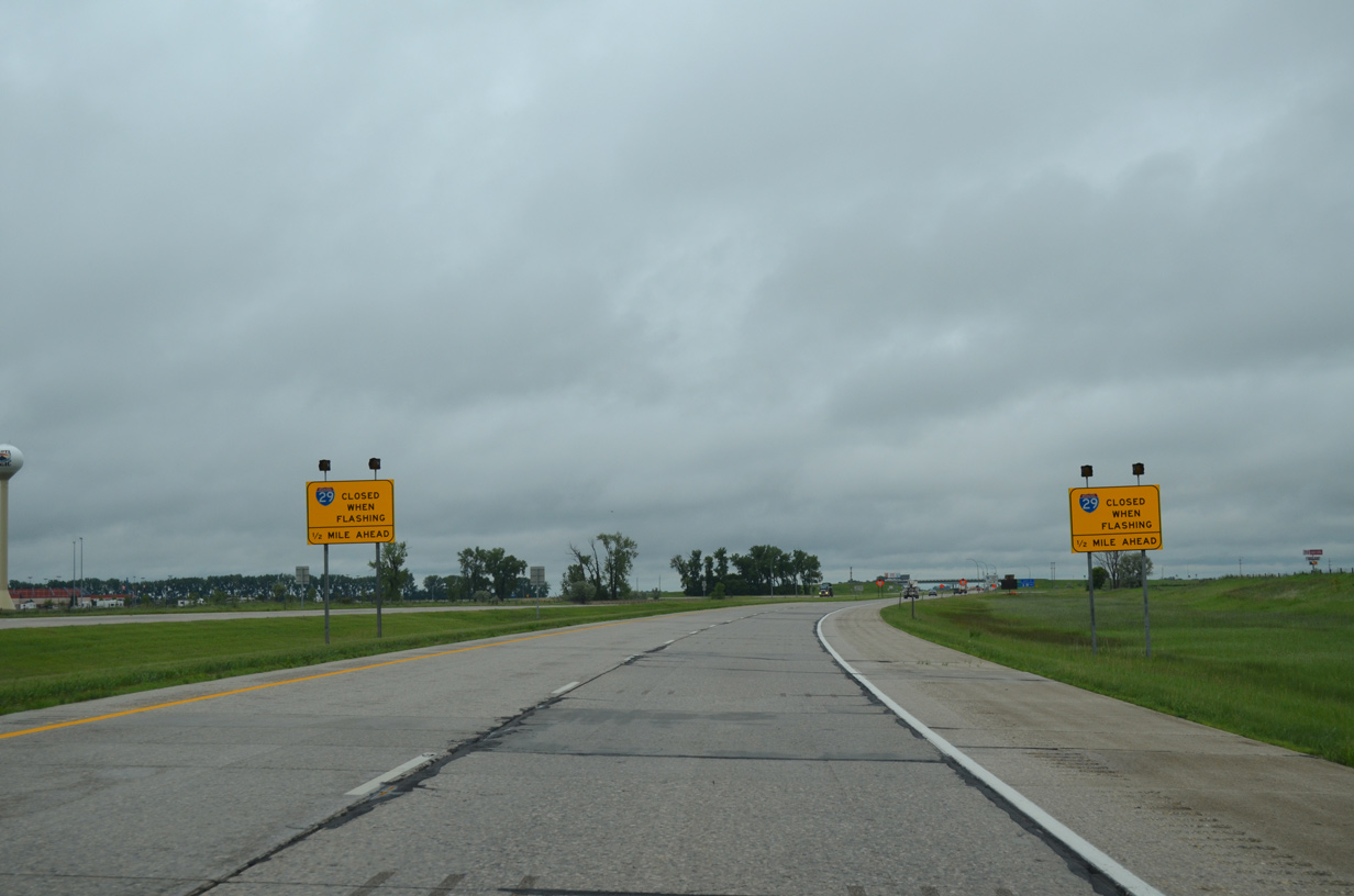
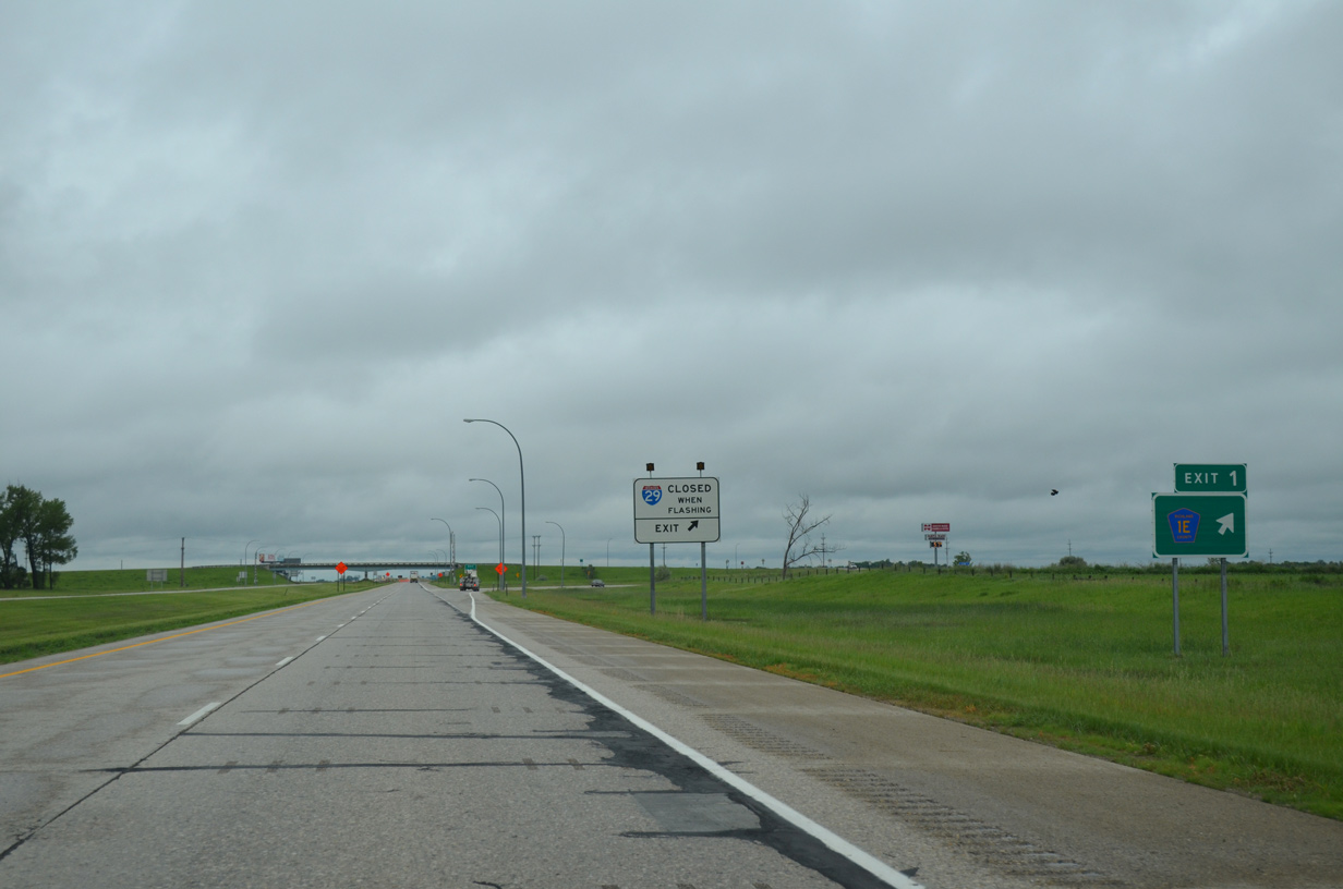
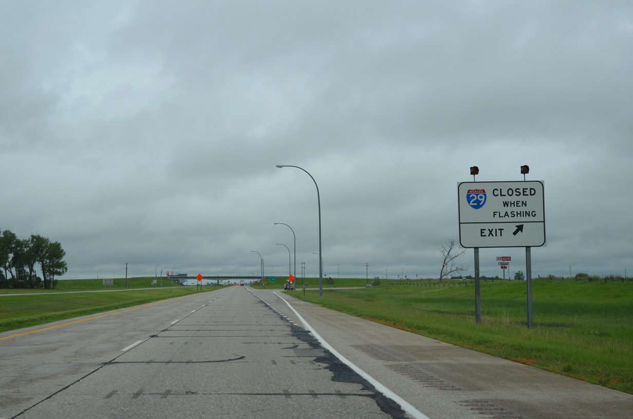
| A set of warning signs and flashers advise motorists of snow related closures to Interstate 29 beyond the South Dakota state line. 06/17/15 |
|
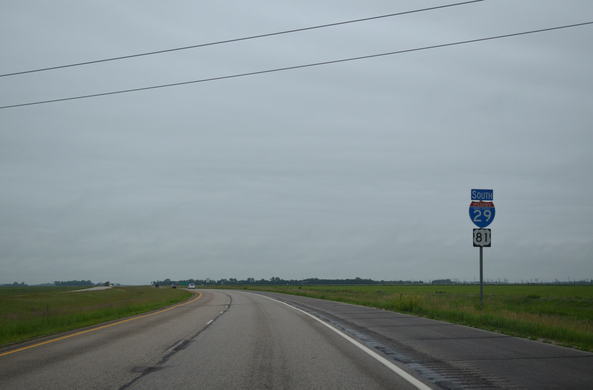
| Exit 1 consists of a folded diamond interchange with Richland County 1E (102nd Street SE) on the state line. CR 1E veers southeast beyond the adjacent casino to become CR 2 (468th Avenue) en route to Victor, South Dakota. CR 1E west connects with CR 1 (169th Avenue SE) north back to Hankinson. 06/17/15 |
|
| All traffic must exit Interstate 29 south at Exit 1 during inclement weather based closures initiated by SDDOT. 06/17/15 |
Page Updated 07-20-2016.


 South
South