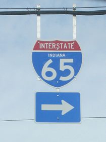
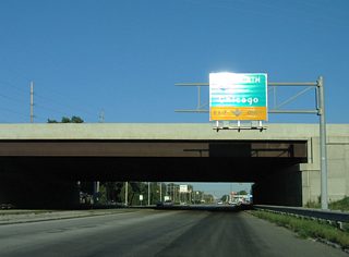
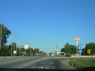
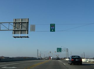
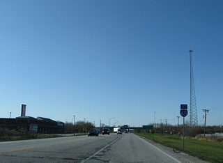
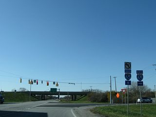
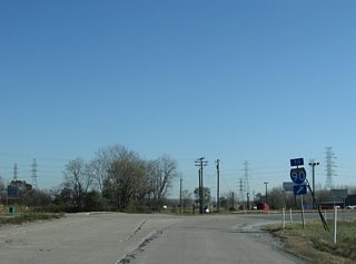
Northward view of rural Interstate 65 from U.S. 24/231 outside Remington in southern Jasper County. 11/05/09
Connecting Indianapolis, the largest city and capital of Indiana, with Louisville and the Falls City area and the Greater Chicago Metropolitan region, Interstate 65 is the second longest in the Hoosier State. The freeway was built between the early 1960s and 1970s when the combined section with I-70 in Downtown Indianapolis was completed. I-65 supplanted U.S. 31 from Louisville to Indianapolis and U.S. 52, along with parts of U.S. 41, between Indianapolis and Gary as the primary Indianapolis-Chicago route.
Interstate 65 Indiana Guides
The first 10 miles of Interstate 65 are in the Southern Indiana suburbs of Jeffersonville and Clarksville, across the Ohio River from Downtown Louisville. North of Sellersburg, the highway heads north through rolling hills past Scottsburg, Seymour and Columbus. North of there it enters the till plain of Central Indiana as it passes by Franklin and Greenwood before crossing the urban center of Indianapolis, where the heaviest traffic along the interstate is. North of Indy, the highway returns to the rural plains of the state as it goes by Lebanon, Lafayette, and Renssellaer before ending in the Northwest Indiana suburbs at the Indiana Toll Road.
Abraham Lincoln Bridge
Construction began in July 2013 on a new northbound span for Interstate 65 across the Ohio River. The new cable-stayed bridge opened to northbound traffic on December 6, 2015. Southbound I-65 moved onto the bridge on December 16, 2015 while the adjacent Kennedy Bridge underwent rehabilitation to late Summer 2016.
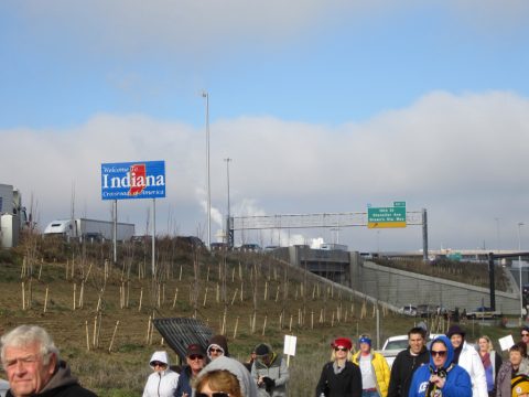
Crossing into Indiana along the Abraham Lincoln Bridge during the public bridge walk held on December 5, 2015. Photo by Tom Reaugh.
The Abraham Lincoln Bridge consists of four spans supported by three towers. The sections include two 750 foot long center spans and two 303 foot long outer spans. The outer two towers rise to a height of 198 feet while the center tower tops out at 254 feet. Overall the cable stayed portion of the bridge totals 2,106 feet in length, with the north approach adding another 1,060 feet to the span. In comparison, the adjacent Kennedy Bridge is 2,497 feet long with a 659 foot approach. The Abraham Lincoln Bridge provides a 71 foot navigation clearance above the normal pool elevation of the Ohio River.1
|
| SR 60 meets Interstate 65 (Exit 7) at a diamond interchange just west of its terminus at U.S. 31. SR 60 was realigned with construction of the freeway, with Old SR 60 leading south nearby to end at U.S. 31 and Hamburg Pike. 11/07/11 |
|
| Heading north along SR 11 to the north of Seymour in northern Jackson County as the highway approaches the interchange with Interstate 65. 06/06/12 |
|
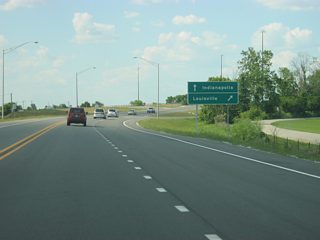
| Northbound on U.S. 31 in Taylorsville in northern Bartholomew County approaching the interchange with Interstate 65. Indianapolis and Louisville are the control cities along I-65 in southern Indiana, following the path of U.S. 31 in between the two cities. 06/06/12 |
|
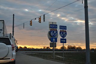
| State-named Interstate 65 shield at the intersection of Raymond and Shelby Streets on the Near Southside of Indianapolis, just west of the exchange with Raymond Street and I-65. 03/11/12 |
|
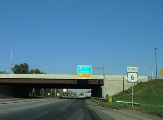
| U.S. 6 Business (East 37th Avenue) east at the folded diamond interchange (Exit 258) with Interstate 65 in Hobart. I-65's northbound ramp is signed to Chicago for the connections with Interstate 90 west. 09/03/05 |
|
| Interstate 65 continues just three more miles to U.S. 12/20 (E Dunes Highway) in Gary. 09/03/05 |
|
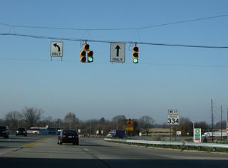
| Connecting the freeway with Whitestown, Zionsville and the Anson development to the east, Oak Street (old SR 334) meets I-65 at a diamond interchange. 11/05/09 |
|
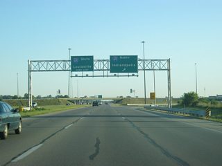
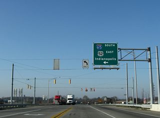
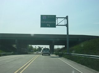
| I-65/U.S. 52 south split at the next interchange (I-865) south of Oak Street (former SR 334). 11/05/09 |
|
| A westbound reassurance shield that was posted for SR 334 between I-65/U.S. 52 and Indianapolis Road (old U.S. 52) near Royalton. The state road traveled east 6.3 miles to U.S. 421 and Zionsville. It was decommissioned in Summer 2011. 11/05/09 |
|
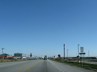
| SR 2 (181st Street) west approaching the diamond interchange with Interstate 65 at Dinwiddie. 11/05/09 |
|
| Interstate 65 travels north 22 miles from SR 2 (181st Street) to I-90 in Gary and south 126 miles to Indianapolis. 11/05/09 |
|
| SR 2 reassurance marker posted east of I-65 at Dinwiddie. A pair of truck stops and other traveler services line SR 2 at Exit 240. 11/05/09 |
|
| 109th Street westbound at the 2010-completed diamond interchange (Exit 249) with Interstate 65 at Crown Point. 05/14/12 |
|
| U.S. 6 Business (W 37th Avenue) meets I-65 at a folded diamond interchange (Exit 258) in the city of Hobart. The Business route follows old U.S. 6 (Ridge Road) from U.S. 41 in Hammond east to Highland, Griffith, Gary and New Chicago while U.S. 6 follows I-80/94 east from the state line to Lake Station, using Ripley Street south with SR 51. The loop is poorly signed in Lake County. 09/02/05 |
|
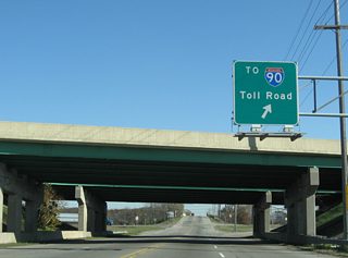
| A parclo interchange joins E 15th Avenue with I-65 just south of U.S. 12/20 (Dunes Highway). The northbound loop ramp references only the connection to the Indiana Toll Road, though access is provided to Dunes Highway as well. 11/05/09 |
|
| Interstate 90 trailblazer posted at the entrance ramp for I-65 north from E 15th Avenue in Gary. 11/05/09 |
Sources:
- Gensch, Andrew, P.E. The Ohio River Bridges - P3 & Design-Build - 101st Annual THE Conference February 25, 2015 [PDF Document]. Retrieved from http://www.theconf.com/presentations/2015/Ohio River Bridges, Projects, P3 & Design Build.pdf
- 09/02/05 by AARoads.
- 09/03/05 by AARoads.
- 11/05/09 by AARoads.
- 11/07/11 by AARoads.
- 03/11/12 by Thomas Decker.
- 05/14/12 by Thomas Decker.
- 06/06/12 by Thomas Decker.
Connect with:
Interstate 64
Interstate 70
Interstate 80
Interstate 90
Interstate 94
Interstate 265
Interstate 465
Interstate 865
U.S. 12
U.S. 20
U.S. 50
Page Updated 01-05-2016.
 scenes


