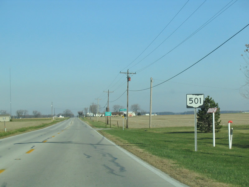
Ohio State Route 501 runs 12.10 miles north from the Auglaize County seat of Wapakoneta to SR 117 (Spencerville Road) west of Lima. SR 501 originates at a folded diamond interchange joining U.S. 33 along the south bypass of Wapakoneta with Dixie Highway (old U.S. 25). SR 198 overlaps with SR 501 for 2.36 miles north to Downtown and along Defiance Street northwest. Crossing into Allen County, SR 501 lines Wapak Road into rural Shawnee Township.
|
| SR 67/198/501 (Willipie Street) north at Benton Street in Downtown Wapakoneta . Willipie Street north and Pearl Street (SR 67) represents the historic route of U.S. 25 through the city. 11/13/04 |
|
| SR 67 turns east from SR 198/501 (Willipie Street) along Pearl Street east to Wood Street north. SR 67 follows old U.S. 25 northward to Dixie Highway ahead of Interstate 75 at Exit 113. 11/13/04 |
|
| SR 198/501 shift two blocks west along Pearl Street from SR 67 to Blackhoof Street north. The pair continue northward across the St. Marys River along Defiance Street. SR 198 ventures northwest from Wapakoneta to Ft. Amanda and SR 117 near Spencerville. 11/13/04 |
|
| SR 501 branches north from SR 198 (Defiance Street) along Lincoln Avenue. The state route leaves the city of Wapakoneta beyond Infirmary Road through rural Duchouquet Township. 11/13/04 |


 North
North