Nebraska Highway 92 is a multi state highway originating from U.S. 26 in Torrington, Wyoming and extending east to U.S. 34 in LaMoille, Illinois. Known as the "Highland Cutoff" in Nebraska, N-92 comprises a route across the middle tier of the state.
N-92 parallels or overlaps with U.S. 26 from Scottsbluff to Lewellen in Garden County. Both follow the course of the North Platte River southeast. U.S. 26 diverges south to Ogallala while N-92 continues east along the north side of Lake McConaughy in Keith County. N-61 runs along the east side of the reservoir to combine with N-92 north 25.45 miles to Arthur.
Resuming an eastward heading, N-92 leaves Arthur County for McPherson County, where N-97 joins the highway for 4.47 miles from Tryon. Within Logan County, N-92 combines with U.S. 83, 4.00 miles south from Stapleton. Highway 92 in Custer County connects Arnold with Merna, where the multi state route joins N-92 southeast to Broken Bow and Ansley.
Beyond N-2 and a short overlap with U.S. 183, N-92 advances east to Loup City and a 2.97 mile long concurrency with N-58. Both routes lead east to U.S. 281 in Howard County. N-92 however joins U.S. 281 south for 2.41 miles while N-58 concludes at the route.
N-92 across rural Merrick County passes south of Palmer and north of Central City along a 1.00 mile long overlap with N-14. N-92 spans the Platte River into Polk County beyond U.S. 30. U.S. 81 overtakes N-92 east from ahead of Osceola 12.43 miles to a point midway between Shelby and Rising City. Highway 92 continues from U.S. 81 toward David City at N-15 and an overlap with U.S. 77 around Wahoo.
Within the Omaha metropolitan area, N-92 enters Douglas County east from Yutan. U.S. 275 turns east into the city of Omaha alongside N-92 ahead of the Elkhorn River. U.S. 275/N-92 expand to a controlled access arterial along Center Road east to Industrial Road south. The two routes transition onto L Street east at S 132nd Street. L Street runs east to U.S. 75 (Kennedy Freeway). U.S. 275/N-92 shift slightly north from L Street onto Missouri Avenue ahead of the South Omaha Veterans Memorial Bridge into Council Bluffs, Iowa.
Created around 1937, per Chris Geelhart's former Nebraska 92 page, N-92 originally traveled east from Central City to Omaha. It was extended west to North Platte in 1940, rerouted to end in Arthur in the 1950s, and lengthened west to Torrington, Wyoming in 1964. N-92 travels 486.27 miles overall across the Cornhusker State.
|
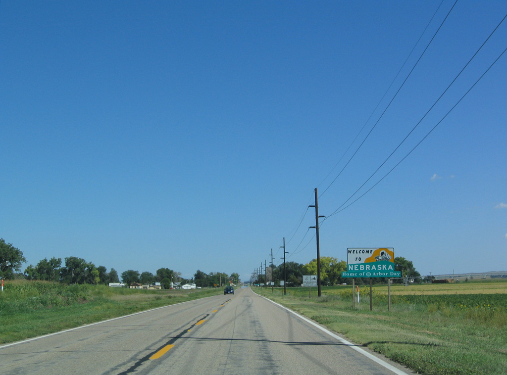
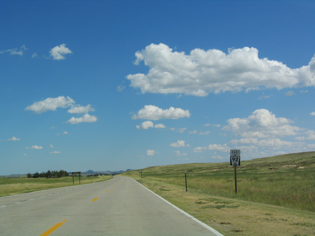
| WY 92 transitions to N-92 east just ahead of the Nebraska welcome sign. 09/06/04 |
|
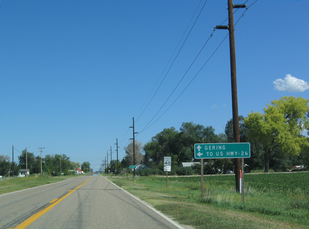
| N-92 intersects County Road 2 south and 10th Avenue north on the west side of Lyman. 10th Avenue becomes Holloway Road north en route to the village of Henry. 09/06/04 |
|
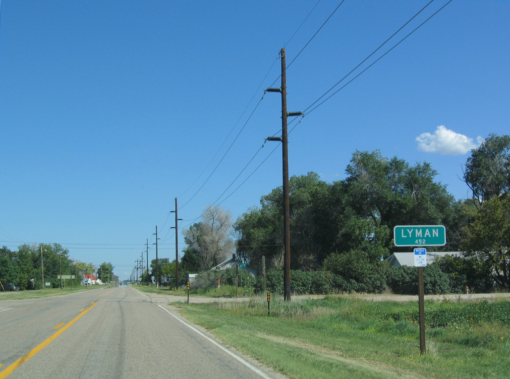
| Following N Street, N-92 runs east across the village of Lyman. Due to its proximity to the North Platte River, agriculture is the main economic driver of this area. 09/06/04 |
|
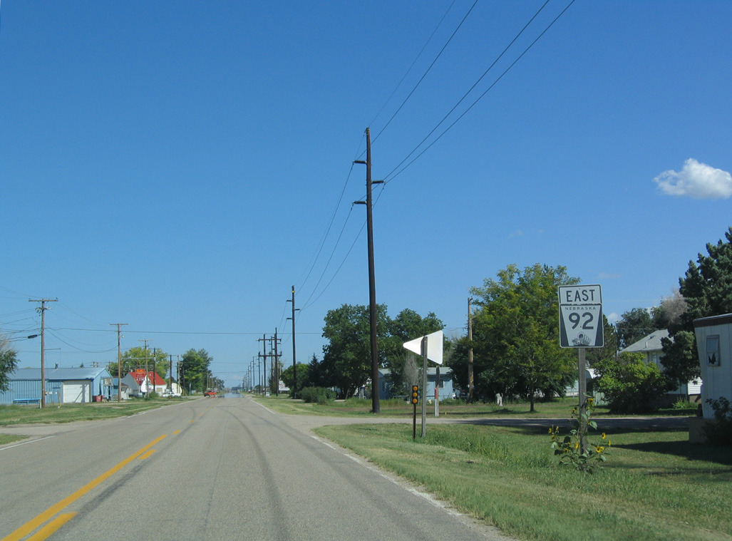
| The first shield for N-92 was previously posted along N Street at 8th Avenue in Lyman. A new assembly was posted east of 10th Avenue after 2012. 09/06/04 |
|
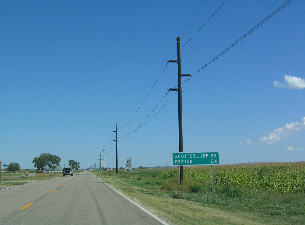
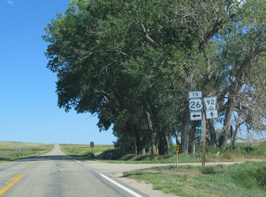
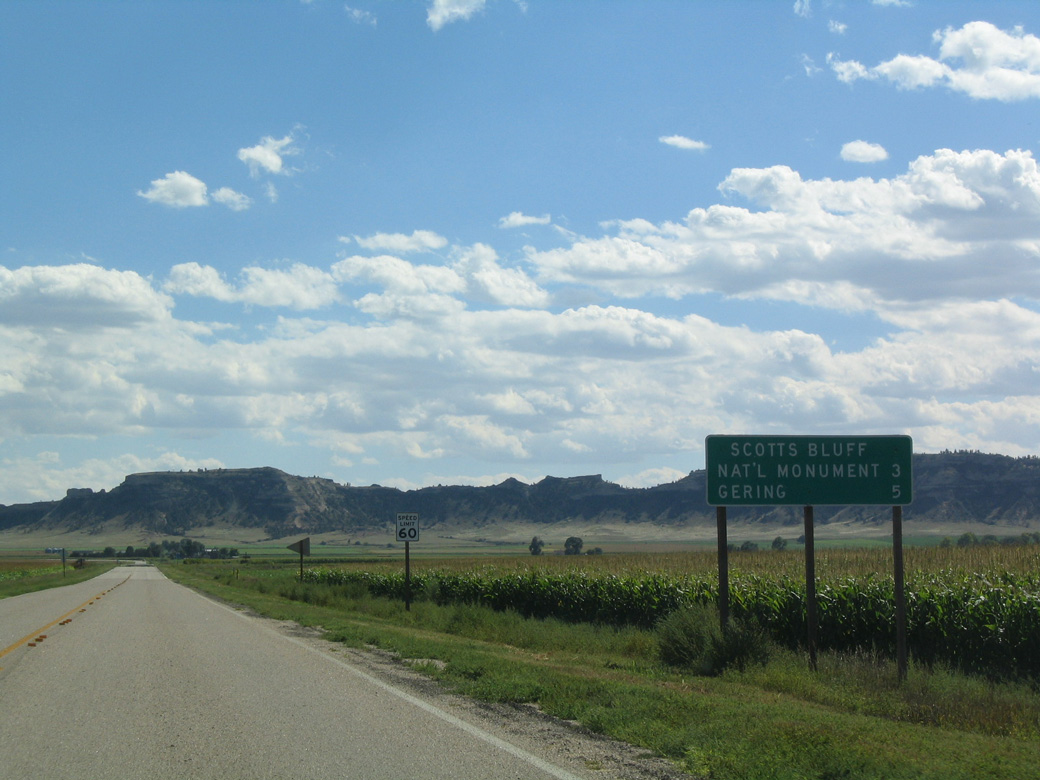
| Since bypassed by N-92, Scottsbluff and Gering are within 24 miles of Lyman. 09/06/04 |
|
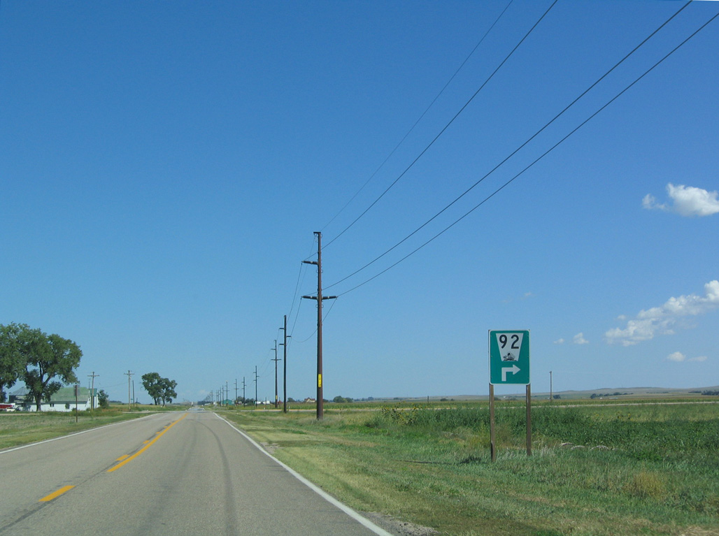
| N-92 turns south at CR 3 while Lyman East Road continues east five miles to S Morrill Road north to Morrill. 09/06/04 |
|
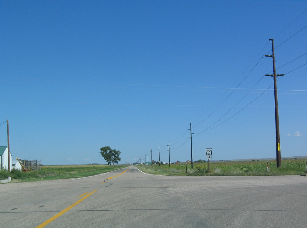
| County Road 3 heads north to eastern reaches of the Lyman village limits while N-92 runs along a section line south 2.75 miles. 09/06/04 |
|
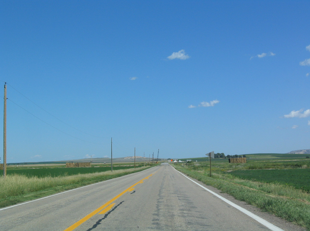
| Advancing south across agricultural fields, N-92 next crosses the Branch A waterway to Dry Creek Drain. 09/06/04 |
|
| Morrill Road (CR 8) heads 6.3 miles north to U.S. 26 in the village of Morrill. This shield assembly was removed by 2007. 09/06/04 |
|
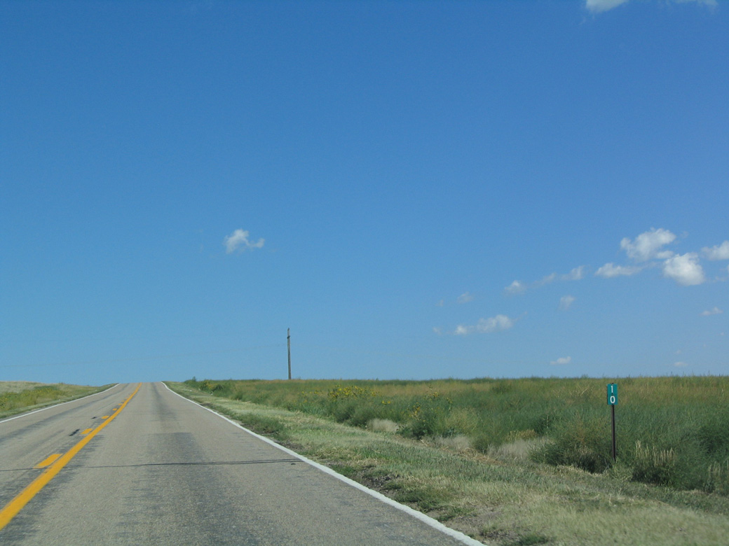
| N-92 passes south of Bald Peak within the vicinity of mile marker 10. 09/06/04 |
|
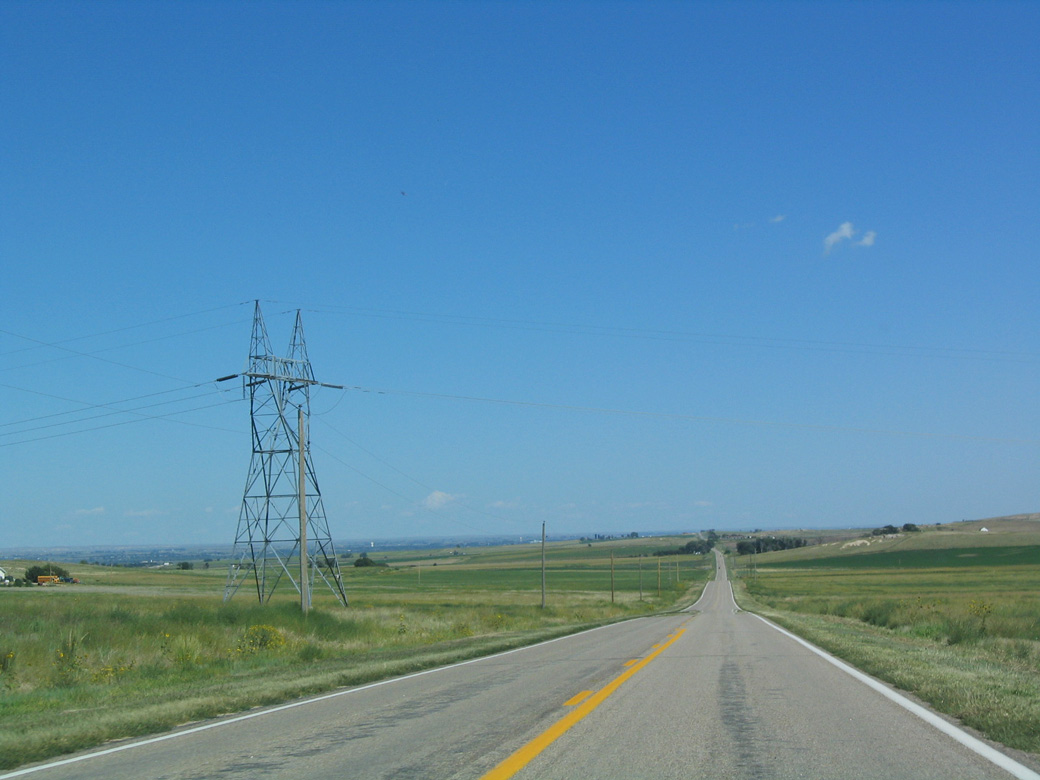
| A set of power transmission lines span N-92 east of Bald Peak. 09/06/04 |
|
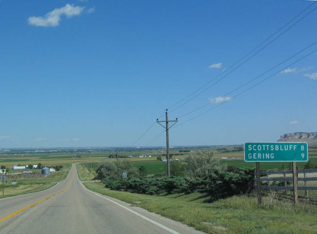
| Distance sign posted east of the intersection with Mitchell South Road (old N-29) at Hubbard Corner. 09/06/04 |
|
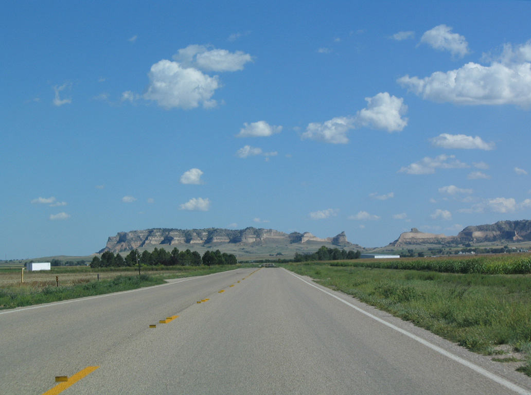
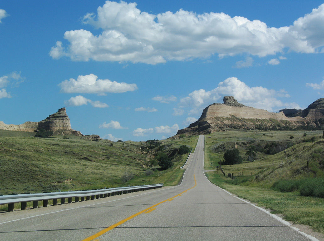
| Shifting southeast from Rifle Sight Pass Road, Scotts Bluff spreads along the horizon. 09/06/04 |
|
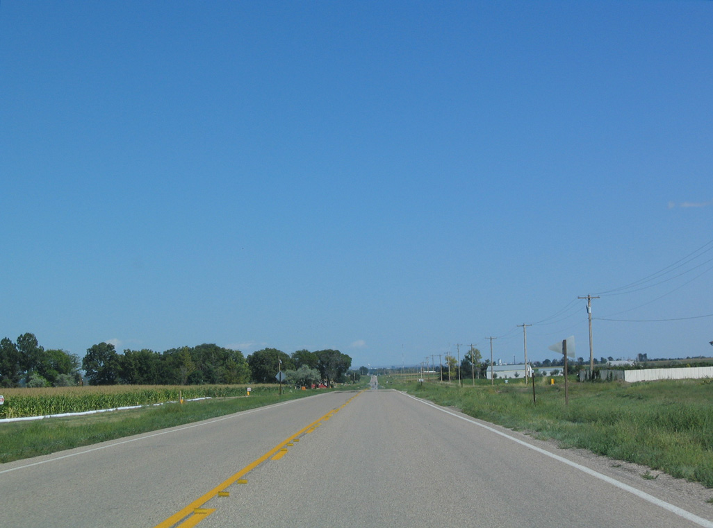
| Following the crossing of Mitchell Gering Canal, N-92 resumes an eastern heading from CR 16. 09/06/04 |
|
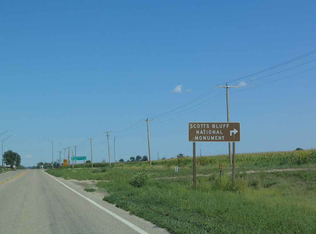
| N-92 formerly turned south along Old Oregon Trail to Scotts Bluff National Monument and M Street into the city of Gering. 09/06/04 |
|
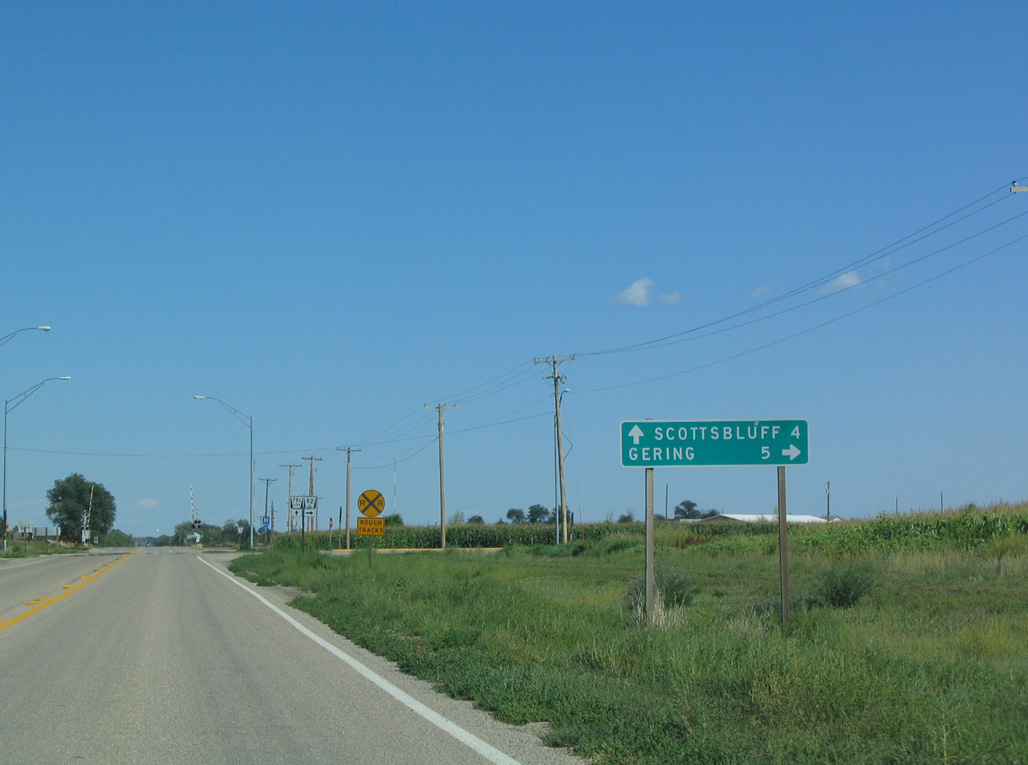
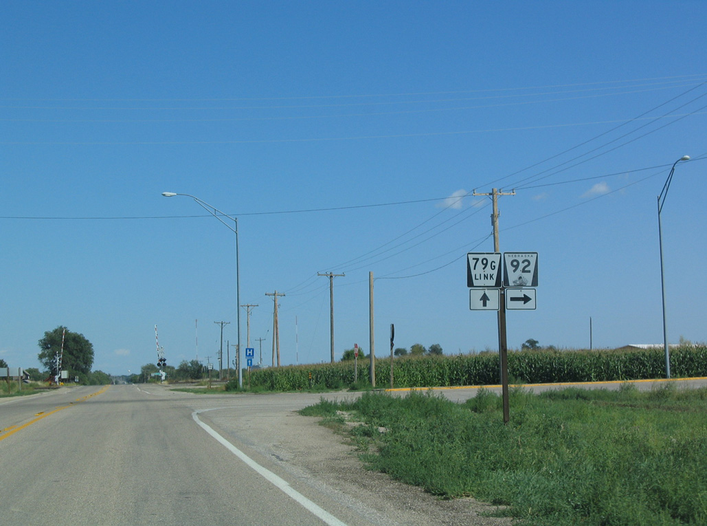
| The realignment of N-92 onto the Heartland Expressway around Scottsbluff including replacing what was Link 17G east to Spur 79H at W 20th Street. 09/06/04 |
|
| N-92 follows old L-17J east across the North Platte River to the Scottsbluff city line at S-79H. The multi state highway heads north from W 20th Street to U.S. 26 (Heartland Expressway). 09/06/04 |
|
| South Bluff stretches west from Scotts Bluff National Monument less than three miles south of N-92. 09/06/04 |
|
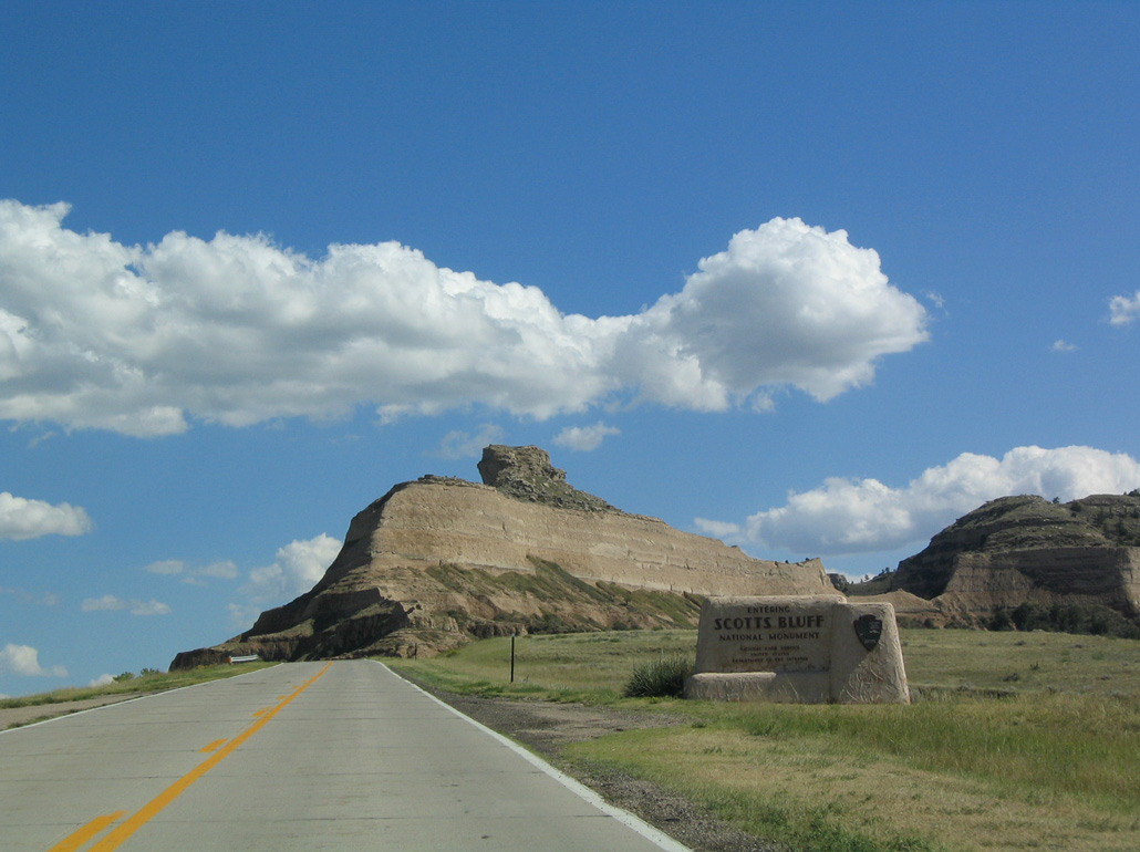
| Angling southeast, Old Oregon Trail gains enters Scotts Bluff National Monument. 09/06/04 |
|
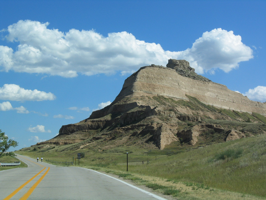
| Old Oregon Trail ascends across Scotts Bluff to Mitchell Pass. 09/06/04 |
|
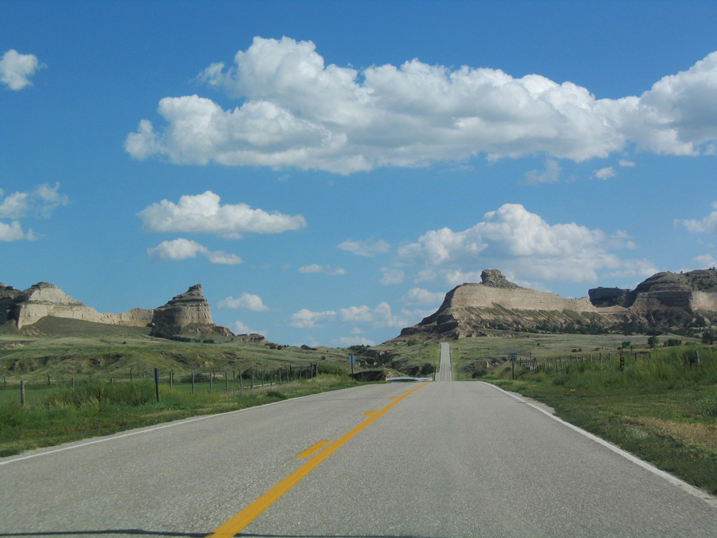
| The highway runs between the sandstone geological formations, which acted as beacons to pioneers en route to the West during the frontier days. 09/06/04 |
|
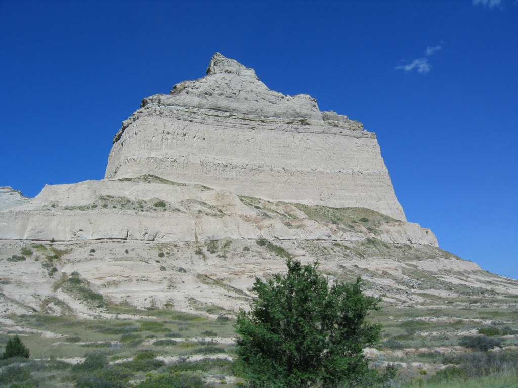
| Scotts Bluff was used by pioneers who traveled the Oregon Trail. This bluff is visible for many miles to the east, which assisted pioneers and emigrants with locating the correct route of the trail to the West. 09/06/04 |
|
| Eagle Rock rises just east of Mitchell Pass within Scotts Bluff National Monument. 09/06/04 |
|
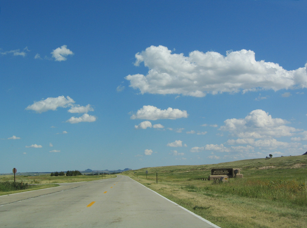
| The Scotts Bluff National Monument Visitor Center is located east of Mitchell Pass along Old Oregon Trail. 09/06/04 |
|
| Reassurance marker for N-92 formerly posted east of the Scotts Bluff National Monument Visitor Center. 09/06/04 |
|
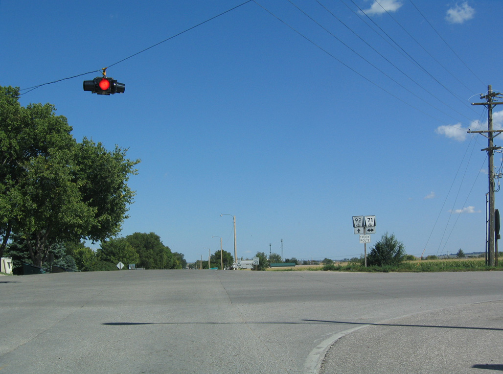
| N-92 followed M Street east into Scottsbluff to Five Rocks Road, the former alignment of N-71. Both routes were relocated onto the Heartland Expressway around the east side of Gering. 09/06/04 |
Photo Credits:09/06/04 by AARoads
Connect with:
Interstate 80
U.S. 26
U.S. 30
U.S. 75
U.S. 77
Highway 92
Highway 92
Page Updated 03-01-2024.