U.S. 16 runs from the East Entrance of Yellowstone National Park east to Interstate 90 and U.S. 14 in Rapid City, South Dakota. This route is truncated; it used to continue east to Milwaukee, Wisconsin, and Detroit, Michigan roughly along the current Interstate 90, Interstate 94, and Interstate 96 routes.
|
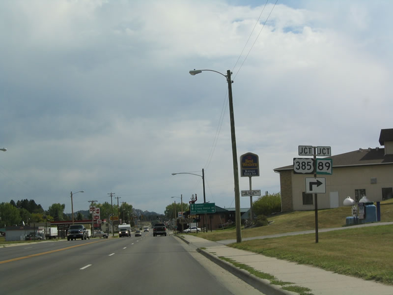
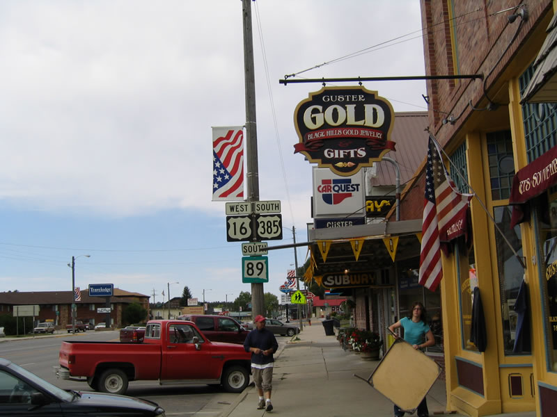
| West of Custer, U.S. 16 crosses into South Dakota from Wyoming and passes by Jewel Cave National Monument. The first major intersection along eastbound U.S. 16 is with U.S. 385 and South Dakota 89. U.S. 385/South Dakota 89 travels south toward Pringle and Hot Springs. Continuing east, all three routes travel toward Custer. 09/03/04 |
|
| Custer is the seat of Custer County and the western gateway to Custer State Park. The city of Custer was established in 1875, is home to 2,067 people (as of 2010 Census), and is located at a relatively high elevation (5,318 feet above sea level). On average, 19.03 inches of precipitation falls in Custer. 09/03/04 |
|
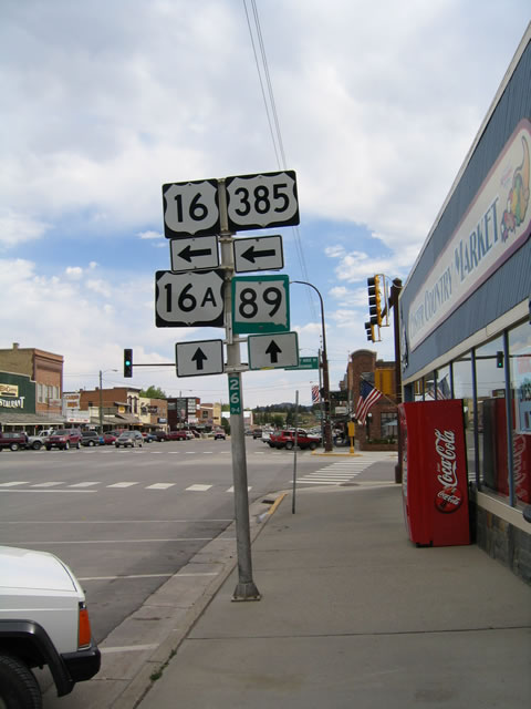
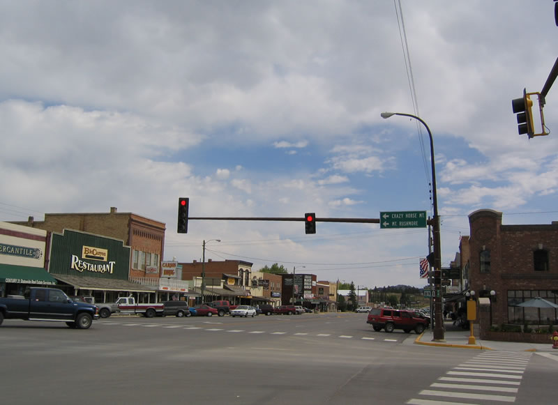
| Once in Downtown Custer, U.S. 16-385 and South Dakota 89 approach their junction with Alternate U.S. 16, which is signed as U.S. 16A. U.S. 16A travels east into Custer State Park, offering a scenic route through the park via Iron Mountain Road and reconnecting with U.S. 16 near Keystone and Mount Rushmore National Memorial. 09/03/04 |
|
| Turn left to follow U.S. 16-385 north toward Crazy Horse, Mount Rushmore and Hill City. Continue straight ahead to follow U.S. 16A and South Dakota 89 east toward Custer State Park. 09/03/04 |
|
| U.S. 16-385 are signed on this reassurance shield assembly found after the Crazy Horse turnoff. 09/03/04 |
|
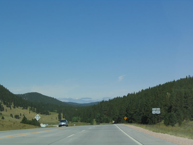
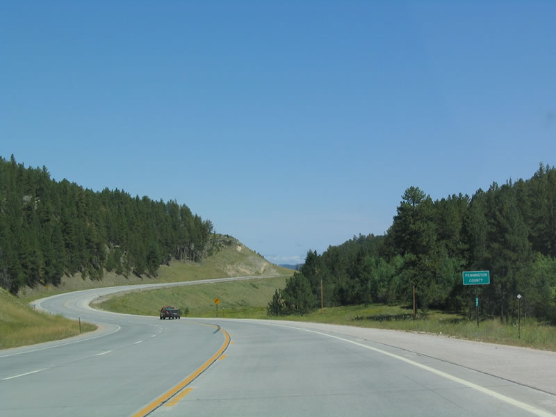
| Northbound U.S. 16-385 leave Custer County and enter Pennington County. Home to 108,242 people as of the 2010 Census, Pennington County occupies 2,784 square miles in western South Dakota. 09/03/04 |
|
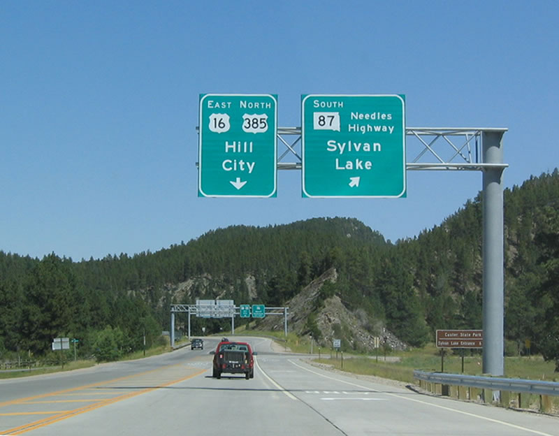
| After crossing into Pennington County, northbound U.S. 16-385 approaches its junction with South Dakota 87/Needles Highway south to Sylvan Lake and Custer State Park. Immediately after this intersection is the junction with South Dakota 244 east to Mount Rushmore National Memorial and Keystone. 09/03/04 |
|
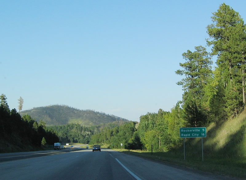
| We rejoin U.S. 16 eastbound after the northern interchange with U.S. 16A west of Rockerville and north of Keystone. 09/03/04 |
|
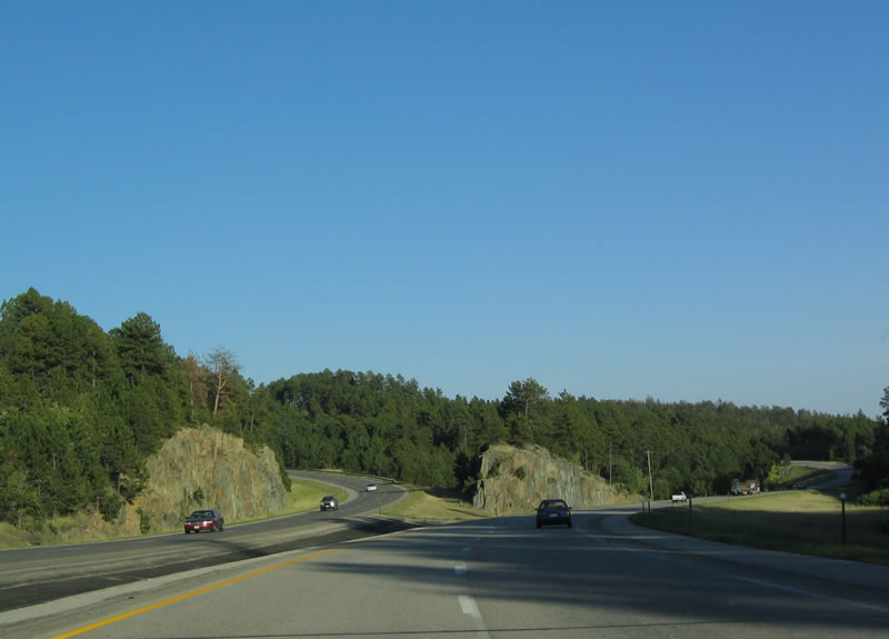
| This section of U.S. 16 is built with four lane design standards and is nearly a freeway, although access is controlled by intersections, not interchanges. 09/03/04 |
|
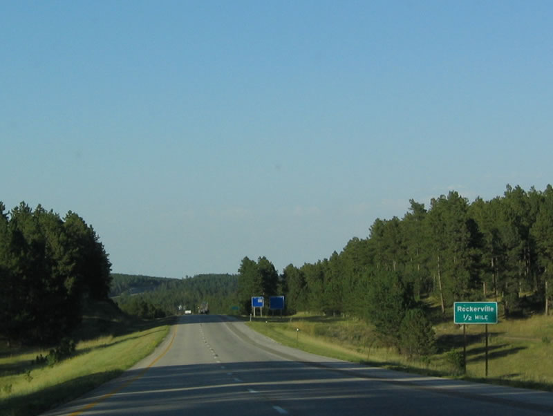
| A former boom town that owes its history to mining, Rockerville is largely a ghost town today. Since U.S. 16 bypasses the town, its share of the tourist trade mostly dried up. In fact, Rockerville made news when the entire town was listed for sale for $1.1 million: "The property includes 26 acres of the old town, all the buildings, the remaining relics, and camping grounds in the woods. It includes a few hundred yards of frontage with false fronts on either side of the road, but it is still the road less traveled. Each store is platted and can be separately leased, though the roofs may or may not make it through the next winter. And the new owners will have to deal with the ghosts of Rockerville, who are now tourists, as well as miners." 09/03/04 |
|
| There are two exits that connect to Rockerville from U.S. 16, but neither exit seems particularly well traveled. 09/03/04 |
|
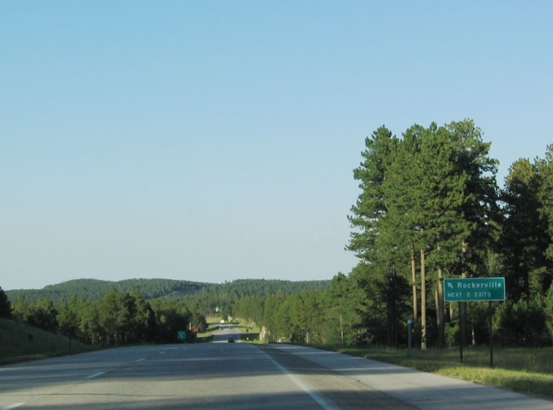
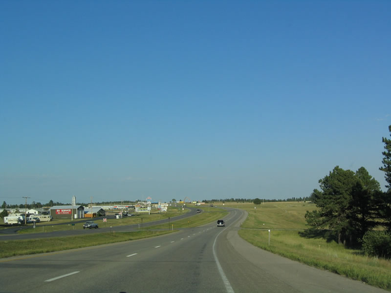
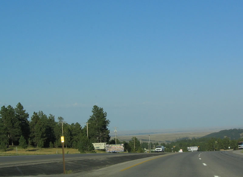
| North of Rockerville, a host of tourist attractions are located along U.S. 16, especially on the west side of the highway. 09/03/04 |
|
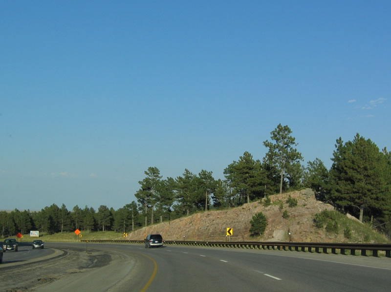
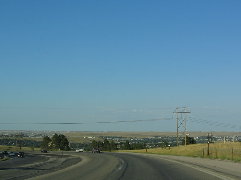
| Cresting onto a downgrade after Rockerville, U.S. 16 prepares to leave the Black Hills. The US highway travels on a steep downgrade all the down to Rapid City, which becomes visible on the foothills below the Black Hills. 09/03/04 |
|
| Throughout this stretch of U.S. 16, the highway follows a freeway alignment, with two lanes in each direction and a grassy median. 09/03/04 |
|
| However, the highway is not a freeway. Access is controlled by intersections such as these. 09/03/04 |
|
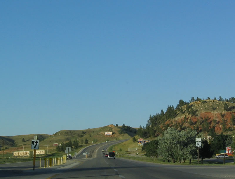
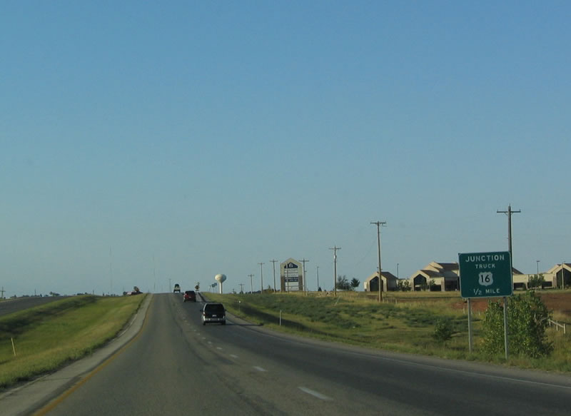
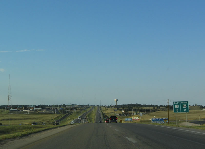
| The next major intersection along eastbound (northbound) U.S. 16 is Truck U.S. 16, signed as U.S. 16T. This bypass route heads east to join South Dakota 79/Heartland Expressway and allow for an alternate route around the metropolitan area of Rapid City. 09/03/04 |
|
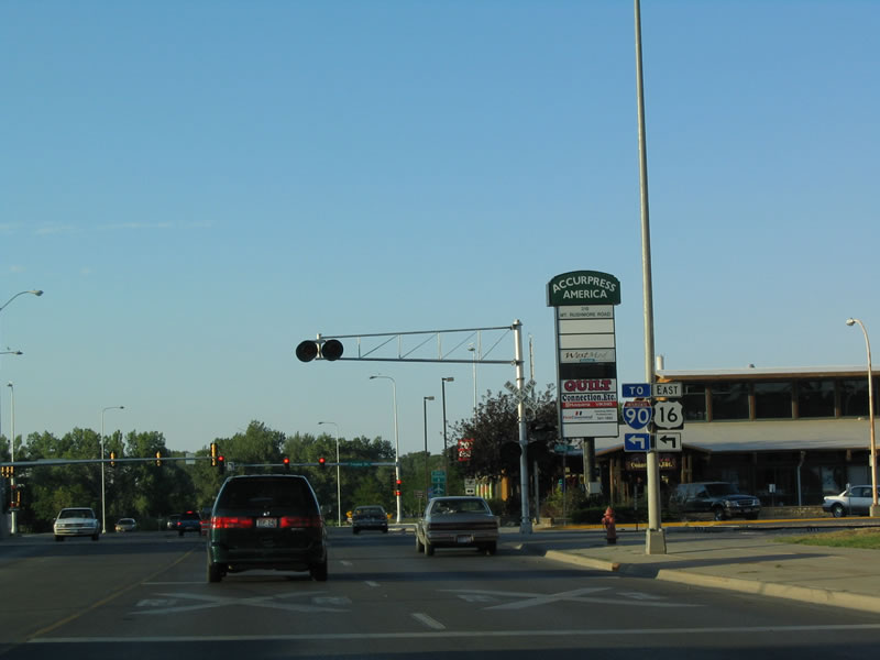
| Truck U.S. 16, together with the Heartland Expressway (South Dakota 79), offers a bypass to the east of Rapid City. The bypass connects with Interstate 90 at Exit 60, which is also the Business Loop I-90 eastern interchange. 09/03/04 |
|
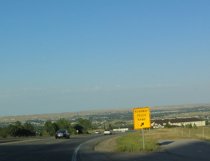
| The sprawling city lies in the valley below as U.S. 16 continues to descend toward Rapid City. A runaway truck ramp is available for vehicles with failing brakes. 09/03/04 |
|
| Rounding a bend in the highway, U.S. 16 has a depressed, paved median. 09/03/04 |
|
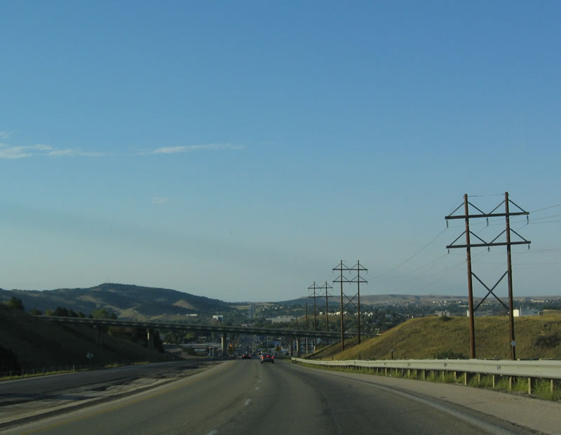
| U.S. 16 shifts from a rural to an urban highway almost immediately after passing under the bridge in the distance. 09/03/04 |
|
| Eastbound U.S. 16 enters Rapid City. Founded in 1876, Rapid City has its history steeped in the mining of Black Hills gold and in the tourist trade that keeps the area vibrant in all seasons. Agriculture, forestry, manufacturing, and government also dominate the economy of the region. 09/03/04 |
|
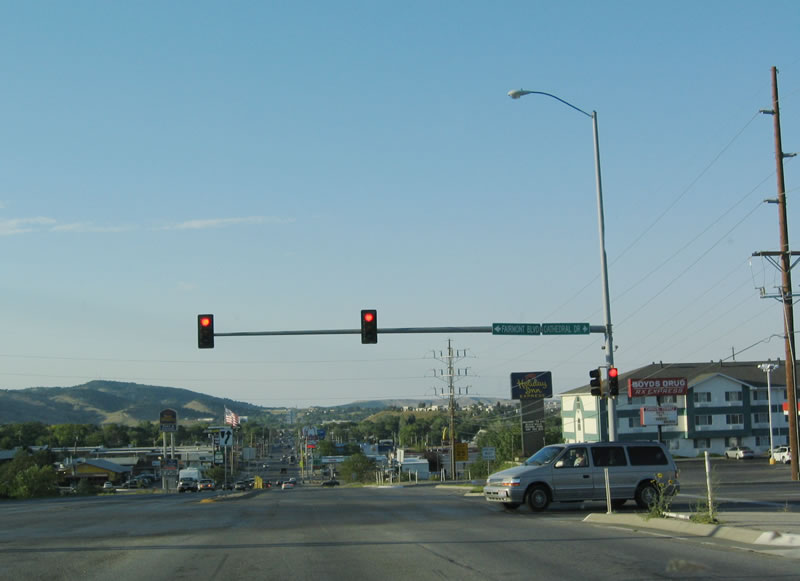
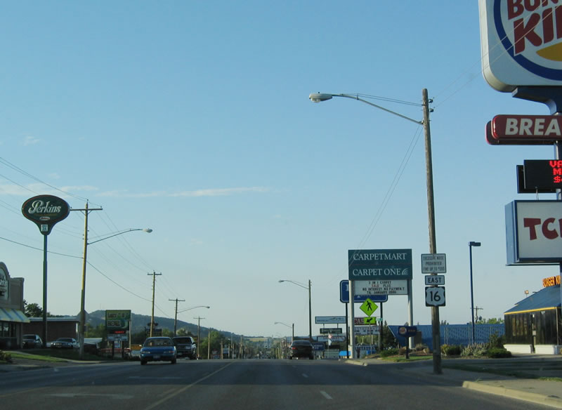
| The southern section of U.S. 16 (also known as Mount Rushmore Road) passes through a series of strip malls and chain restaurants. 09/03/04 |
|
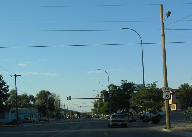
| However, the landscape changes to a more suburban and residential area north of the commercial area and south of downtown. 09/03/04 |
|
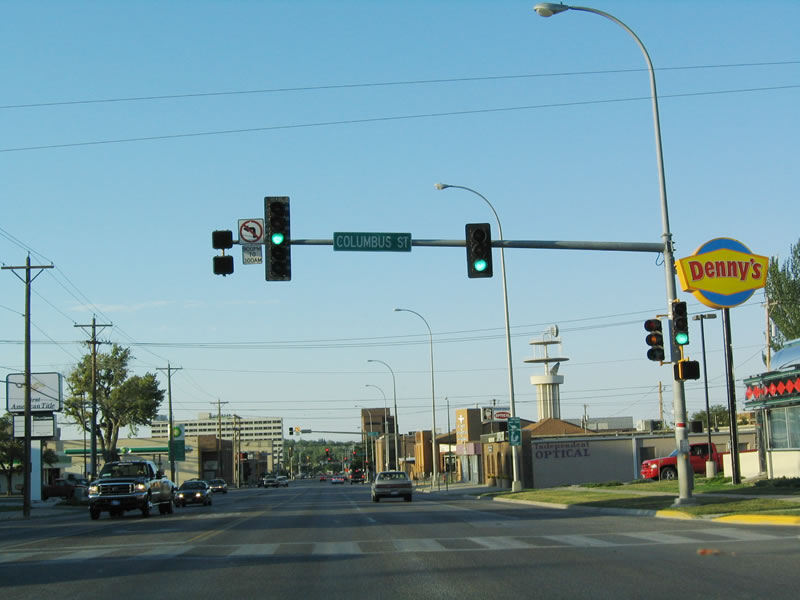
| Downtown Rapid City comes into view north of the Columbus Street intersection. 09/03/04 |
|
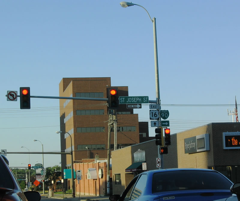
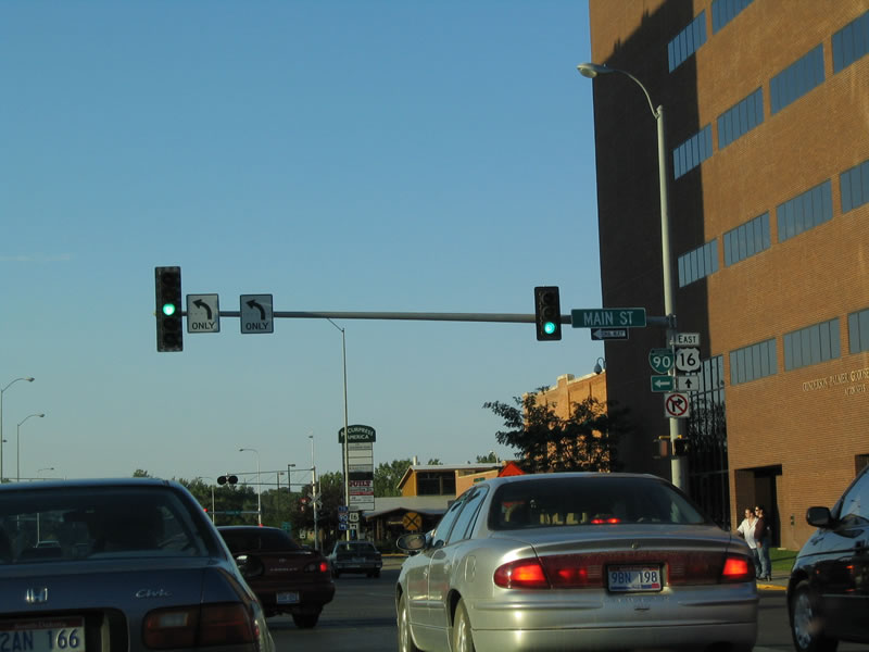
| Mount Rushmore Road (U.S. 16) intersects with Business Loop I-90 in Downtown Rapid City. Eastbound Business Loop I-90 follows St. Joseph Street, while westbound Business Loop I-90 follows Main Street. Note that despite state maps that omit the business loop designation, it is still well signed in the field. 09/03/04 |
|
| U.S. 16 follows Mount Rushmore Road past Main Street (westbound Business Loop I-90) for two more blocks, then turns left (west) onto Omaha Street (South Dakota 44). 09/03/04 |
|
| These trailblazer shields direct traffic from Mount Rushmore Road northbound to Omaha Street westbound. U.S. 16 follows Omaha Street for a couple of blocks, then turns north onto Interstate 190. 09/03/04 |
|
| In Custer, this shield assembly for westbound U.S. 16, southbound U.S. 385, and southbound South Dakota 89 in posted after the Alternate U.S. 16 intersection. 09/03/04 |
|
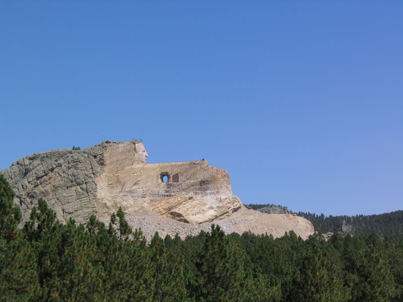
| Located east of U.S. 16-385 in Custer County, the Crazy Horse Memorial is readily visible from the freeway. This photo showed the progress of the then incomplete monument. The memorial was started by Korczak Ziolkowski. 09/03/04 |
Page Updated 11-29-2005.

 East
East