U.S. 385 is a very long route, serving the Great Plains between Big Bend National Park in Texas and Lead, South Dakota. The highway was created all at once in 1959 as a major addition to the U.S. Highway System.
|
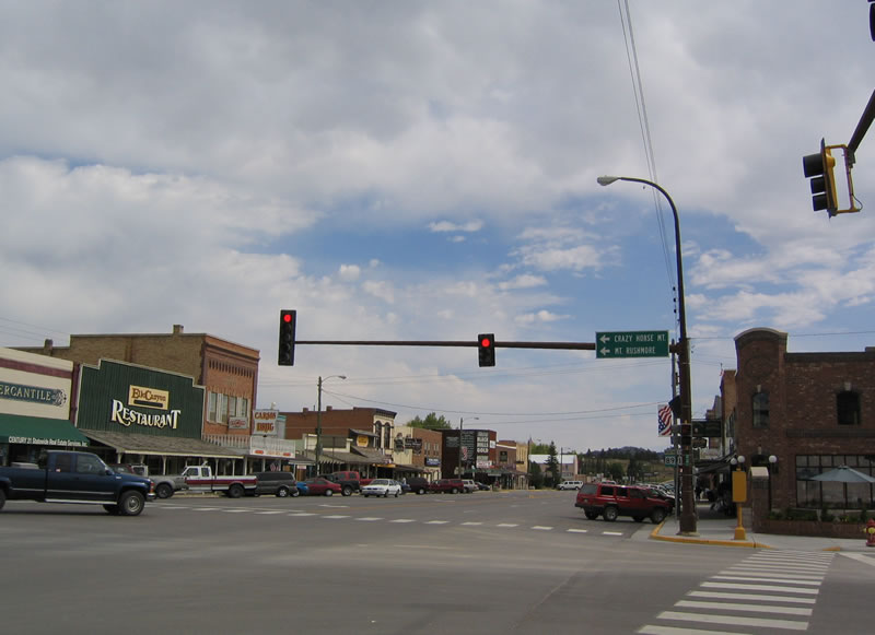
| Custer is the seat of Custer County and the western gateway to Custer State Park. The city of Custer was established in 1875, is home to 2,067 people (as of 2010 Census), and is located at a relatively high elevation (5,318 feet above sea level). On average, 19.03 inches of precipitation falls in Custer. 09/03/04 |
|
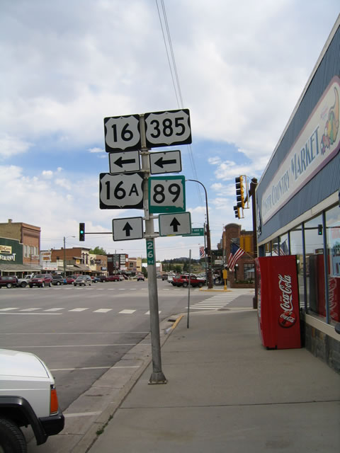
| Once in Downtown Custer, U.S. 16-385 and South Dakota 89 approach their junction with Alternate U.S. 16, which is signed as U.S. 16A. U.S. 16A travels east into Custer State Park, offering a scenic route through the park via Iron Mountain Road and reconnecting with U.S. 16 near Keystone and Mount Rushmore National Memorial. 09/03/04 |
|
| Turn left to follow U.S. 16-385 north toward Crazy Horse, Mount Rushmore and Hill City. Continue straight ahead to follow U.S. 16A and South Dakota 89 east toward Custer State Park. 09/03/04 |
|
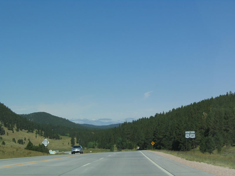
| U.S. 16-385 are signed on this reassurance shield assembly found after the Crazy Horse turnoff. 09/03/04 |
|
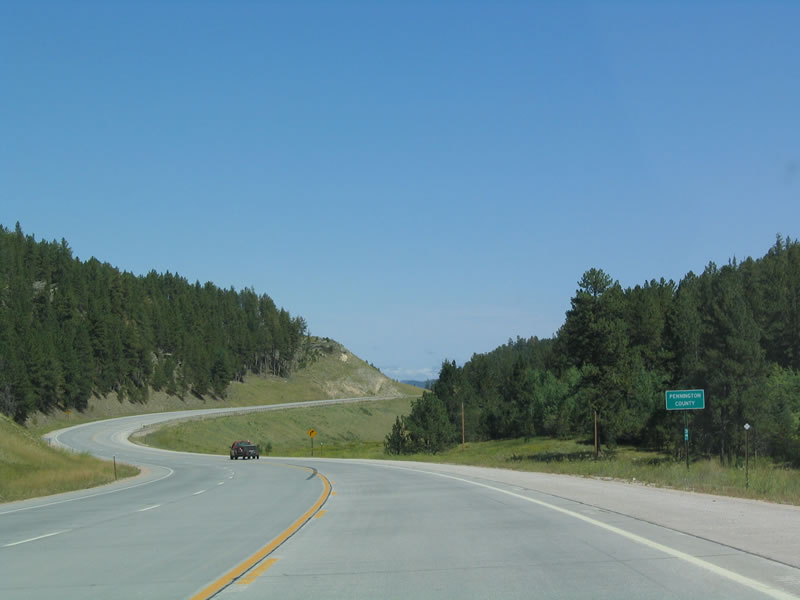
| Northbound U.S. 16-385 leave Custer County and enter Pennington County. Home to 108,242 people as of the 2010 Census, Pennington County occupies 2,784 square miles in western South Dakota. 09/03/04 |
|
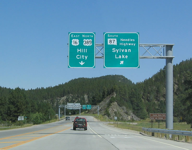
| After crossing into Pennington County, northbound U.S. 16-385 approaches its junction with South Dakota 87/Needles Highway south to Sylvan Lake and Custer State Park. Immediately after this intersection is the junction with South Dakota 244 east to Mount Rushmore National Memorial and Keystone. 09/03/04 |
Page Updated 11-29-2005.

 East
East