

Dansville lies between two hills within the town of North Dansville. Population of the village was 4,433 as of the 2020 Census.
Settlers first arrived in the Dansville area in the 1790s, of those Captain Dan Faulkner, a militia captain and the towns namesake, was included. The early days of the community were founded by area saw and flour mills. Later construction of the Dansville branch of the Genesee Valley Canal added to the area population in the 1840s with village incorporation in 1845. Probably the village’s most famous resident, Clara Baron, founded the first chapter of the American Red Cross in 1881. The 1880s also brought the Lackawanna Railroad across East Hill (a railroad line in use until the 1960s).1
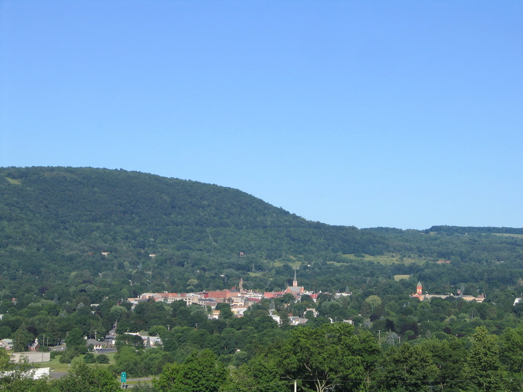
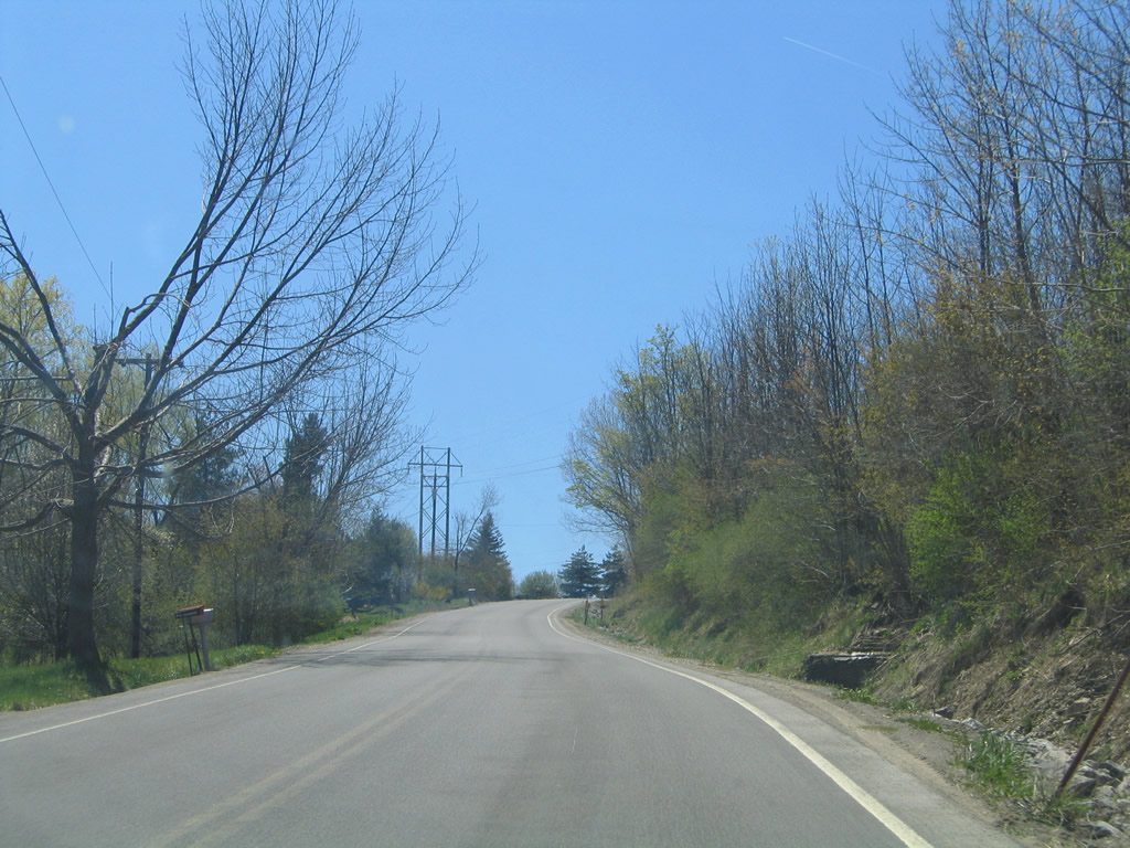
Looking east at Dansville from the hill west of town. 07/02/05
Dansville’s Castle on the Hill
The Dansville water cure, known initially as “Our Home on the Hillside” then later the Jackson Sanatorium opened in 1858. This health resort featured prominently on East Hill and was a retreat for the weary and the health conscious. In 1929 the facility switched ownership and gained new direction as the Physical Culture Hotel under health faddist Bernarr Macfadden. Macfadden converted the former water cure facility into a exercise resort with outdoor sports and therapeutic treatments. The resort flourished until his death in 1955, changing roles for a final time as “Bernarr Macfadden’s Castle on the Hill”. Abandoned since 1971, the facility may be renovated with funds from a $2.5-million state grant awarded in 2008.2
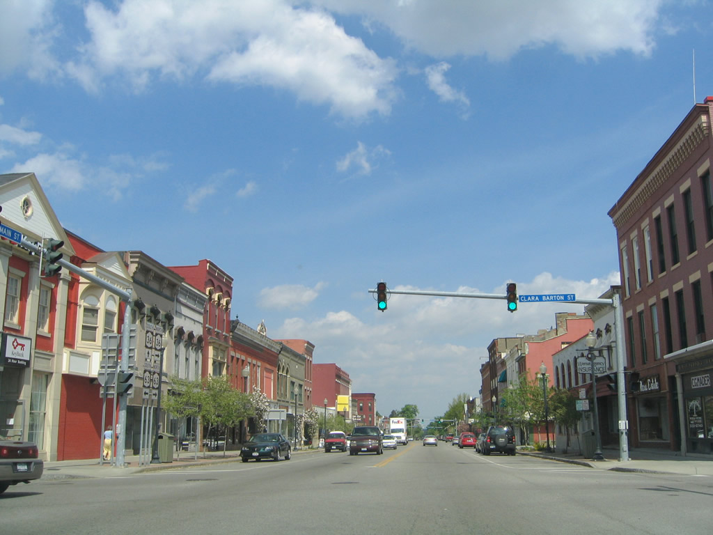
Main Street northbound in Downtown Dansville. The village has only four signalized intersections, three of which are located on Main Street. 05/11/05
Dansville is also known for its Labor Day balloon festival. Started in 1982, the annual festival draws tourists from the region to the village from its launch site at Dansville Municipal Airport (DSV) every year. Dansville Airport opened in 1927.3
Dansville Highways

Guides:
Genesee Expressway
Interstate 390 was constructed as a freeway between NY 21 near Wayland and NY 36 near Dansville Airport between 1966 and 1968. Known as the Dansville-Wayland Expressway, the roadway was initially designated NY 245. Work on the freeway between NY 36 and Groveland followed by 1981.4, The Genesee Expressway was designated as Interstate 390 on November 24, 1971.5

Guides:
New York Route 36
NY 36 enters Dansville from the southwest via Clara Barton Street. The state route joins NY 63 in Downtown along a 0.13-mile overlap on Main Street. Ossian Street carries the route west to Franklin Street and a northwest course to Dansville Municipal Airport (DSV). Overall the highway travels 95.17 miles between PA 249 at Troupsburg and NY 31 at Adams Basin.6

Guides:
New York Route 63
NY 63 connects Dansville with the Steubon County seat community of Wayland. Following Main Street, the state route bisects the village of Dansville, briefly combining with NY 36. The route totals 82.20 miles between NY 15/21 in Wayland and NY 18 at Yates.7

Guides:
New York Route 245
NY 245 followed what is now the alignment of NY 436 into Dansville from the west and an overlap with NY 63 along Main Street to Wayland. The state route turned southward with NY 21 to Naples, joining its current alignment from there.
Once the Dansville-Wayland Expressway segment opened to traffic in 1974, NY 245 was relocated from the overlap with NY 63 onto the new freeway. The Dansville-Wayland Expressway was briefly designated as NY 401 prior to the renumbering to NY 245.8

Guides:
New York Route 256
Following Perine Street from NY 63 (Main Street), NY 256 turns northward from Dansville along a 21.08-mile course to NY 15 at Lakeville.9

Guides:
New York Route 436
Replacing NY 245, NY 436 heads west from NY 36 in Dansville to Nunda. The state route travels 23.80 miles to NY 39 at Lamont.10
Dansville Area County Routes
 North North |
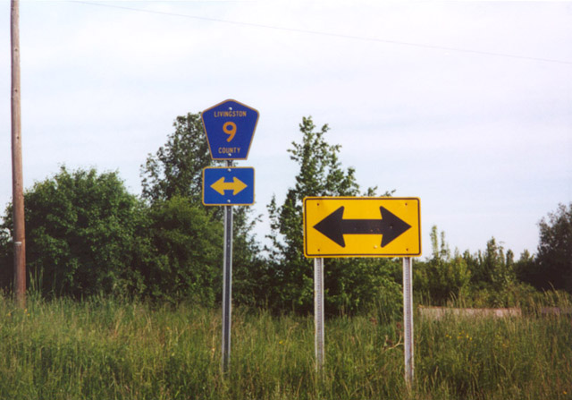
 | CR 9 (Ossian Hill Road) lowers from the intersection with CR 49 (McCurdy Road) in Ossian toward North Dansville and Dansville. 05/11/05 |
  | CR 9 (Ossian Hill Road) descends steeply from 1,050 feet in elevation at CR 49 to 650 feet at NY 436 (Nunda-Dansville Road). 05/11/05 |
 | Approaching NY 436, CR 9 (Ossian Hill Road) intersects Eades Road. Representing the original alignment of NY 245, Eades Road ascends westward, 05/08/05 |
 | CR 9 concludes at NY 436 (Nunda-Dansville Road) just west of Canaseraga Creek the village of Dansville. 05/08/05 |
| South |
 | County Route 9 (Ossian Hill Road) stems south from NY 436 (Nunda-Dansville Road) in North Dansville. Eades Road, a former alignment of NY 245, ties into CR 9 just beyond the first confirming marker. 05/28/00 |
 | Heading south from Eades Road, CR 9 (Ossian Hill Road) increases in elevation from 650 to 1050 feet between NY 436 and CR 49 (McCurdy Road). 05/08/05 |
 | Ossian Hill Road enters the town of Ossian Hill at 970 feet in elevation. 05/08/05 |
 | Approaching the intersection with CR 49 (McCurdy Road) south. Leading southward to Canaseraga Road, CR 49 is unmarked from Ossian Hill Road. 05/08/05 |
 North North |
 | Approaching County Route 9 (Ossian Hill Road) on CR 49 (McCurdy Road) north in the town of Ossian. 07/02/05 |
 | CR 9 descends eastward from CR 49 (McCurdy Road) into the town of North Dansville and heads west to the Ossian town center. 05/28/00 |
| South |
 | A confirming marker for County Route 49 stands just south of CR 9 (Ossian Hill Road) on McCurdy Road in Ossian. 05/08/05 |
Sources:
- History, Dansville Public Library.
- Castle on the Hill, Dansville Public Library.
- Dansville Airport, Dansville Public Library.
- Interstate 390. Wikipedia.org.
- Interstate 390 (Kurumi).
- New York Routes (Routes 30-39)
- New York Routes (Routes 60-69)
- New York Routes (Routes 240-249)
- New York Routes (Routes 250-259)
- New York Routes (Routes 430-439)
Page updated March 19, 2020.