
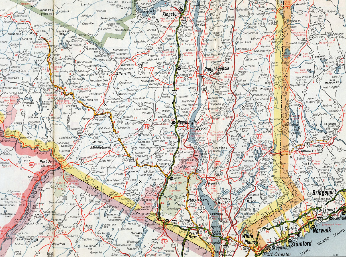
Interstate 84 runs 71.3 miles across southeastern New York through Middletown, Newburgh and Brewster. Tolled in the eastbound direction, the Newburgh-Beacon Bridge takes I-84 across the Hudson River. The route was formerly operated by the New York State Thruway Authority, though tolls were never collected.
Interstate 84 New York Guides
Interchanges along I-84 were renumbered from a sequential to a mile-based numbering system. The change took place starting in Spring 2019 during a $6.3 million project replacing all guide signs along the freeway.1
The proposed route of Interstate 84 in 1961. Early Interstate era maps show the unbuilt alignment of I-87 north to I-84 extending from Elmsford closer to the Hudson River.
Historically I-84 and I-87 overlapped east from the New York Thruway at Newburgh to the Interstate 684 freeway at Brewster. With the inclusion of the New York Thruway to the Interstate System per the 1968 Highway Act, I-87 was rerouted onto the Thruway mainline from Elmsford northward. FHWA approved the relocation on September 11, 1969.
 scenes scenes |
 | NY 312 west at the eastbound entrance ramp for I-84 at Exit 19. I-84 arcs southeast to Brewster and Danbury, Connecticut, while NY 312 concludes one mile to the west at U.S. 6 near Middle Branch Reservoir. Independent Way stems southward from this intersection to the Southeast Railroad Station. 06/26/05 |
- "State will convert current I-84 exit signs to mileage-based numbers." Times Herald-Record (Middletown, NY), December 9, 2018.
Photo Credits:
06/26/05 by AARoads and Carter Buchanan
Connect with:
Interstate 87
Interstate 684
Page Updated 03-15-2023.