
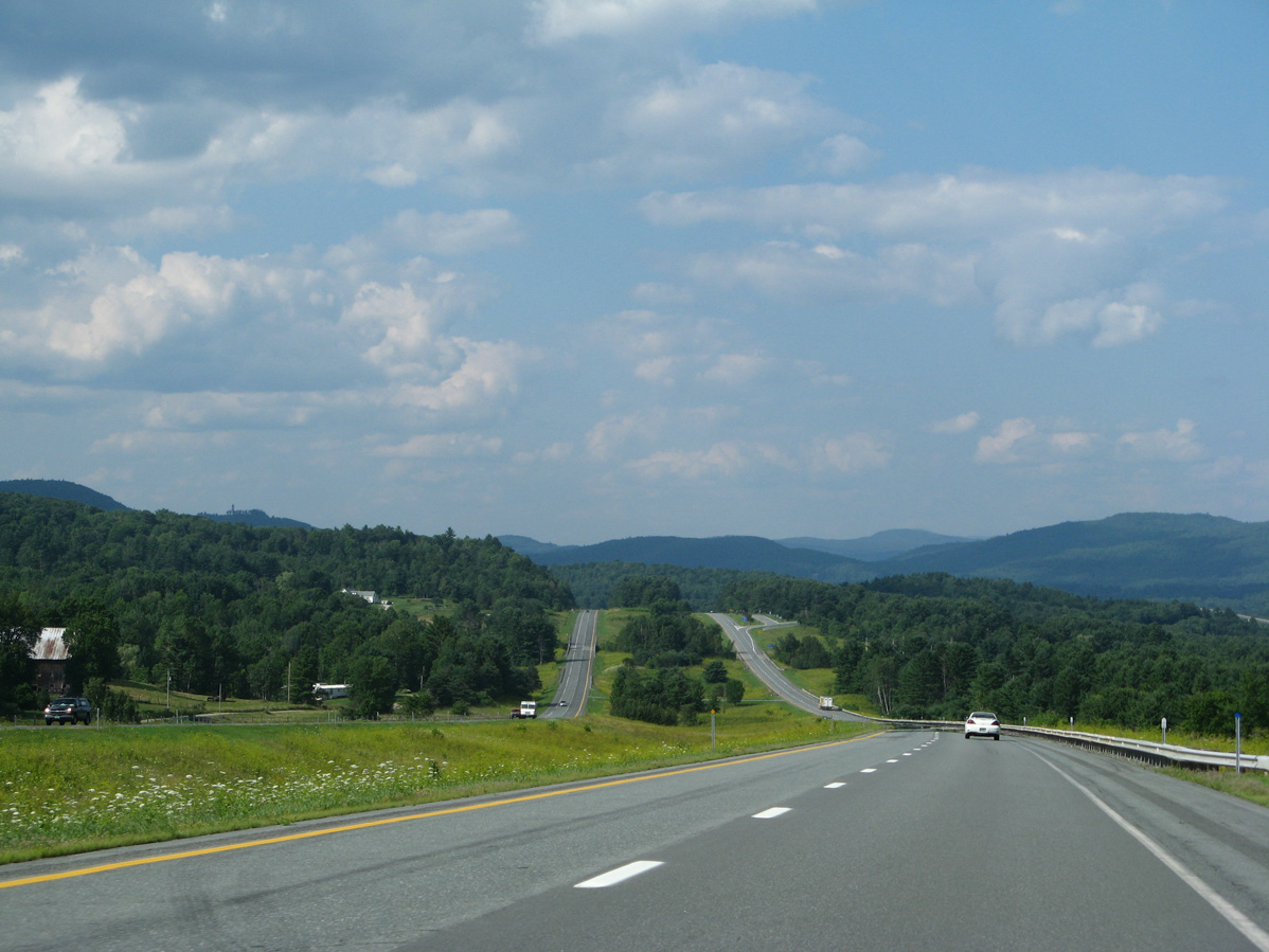
Interstate 91 north by East Ryegate in the town of Ryegate, Vermont. 07/30/07
Traveling 177.38 miles within Vermont, Interstate 91 parallels U.S. 5 from the Massachusetts state line and the town of Guilford to Derby Line and the Canadian border. The freeway and the Connecticut River come together at Brattleboro to parallel one another northward to Putney, Westminster, Bellows Falls, Windsor, Hartland and the exchange with Interstate 89 at White River Junction. I-89 leads motorists northwest to Montpelier, Burlington and Lake Champlain while I-91 maintains a northeasterly heading to Norwich, Fairlee, Bradford and Barnet, where the Connecticut River turns east to Moore Reservoir.
Interstate 91 mirrors the course of the Passumpsic River north from East Barnet to Interstate 93, St. Johnsbury and Lyndonville. A westerly jaunt takes the route to Wheelock, Sheffield and Barton before the freeway curves back east to Orleans, Newport and Derby. The northern terminus of I-91 directly links with Quebec Autoroute 55 north to Sherbrooke and Drummondville.
The first portion of Interstate 91 opened from the Massachusetts state line to Exit 1 at Brattleboro after two years of construction on November 1, 1958.1,2 This was the first stretch of Interstate completed in Vermont.1 Subsequent sections of the freeway opened through 1965 brought the freeway up to 56.441 miles.2 The corridor of Interstate 91 shifted eastward from a planned alignment north of Wells River to Danville and Barton to its present arc east to St. Johnsbury in 1963.
Interstate 91 Vermont Guides
- "One for the road." Brattleboro Reformer (VT), July 12, 2006.
- "Outline History of Vermont State Highways." Vermont Department of Highways, National Highway Week, September 19-25, 1965.
Connect with:
Interstate 89
Interstate 93
Page Updated 03-15-2023.