|
| Interstate 65 drops from six to four overall lanes one half mile north of Louie B. Nunn Cumberland Parkway (Exit 43). 11/04/09 |
|
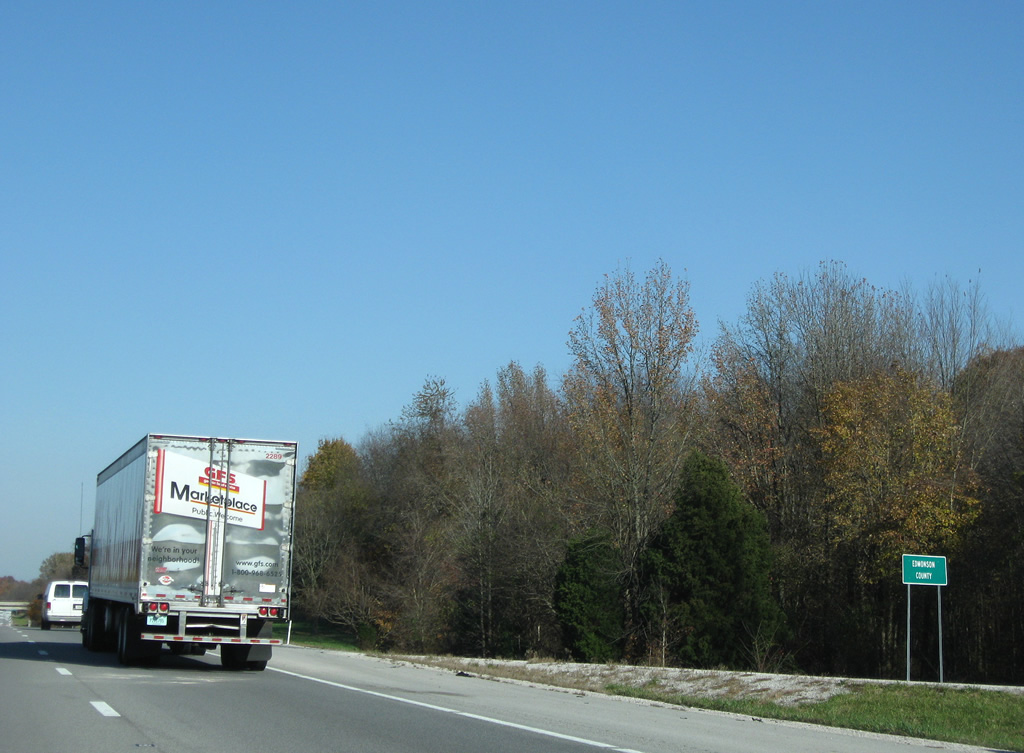
| Leaving a wedge of Barren County, Interstate 65 nips the southeastern corner of Edmonson County. 11/04/09 |
|
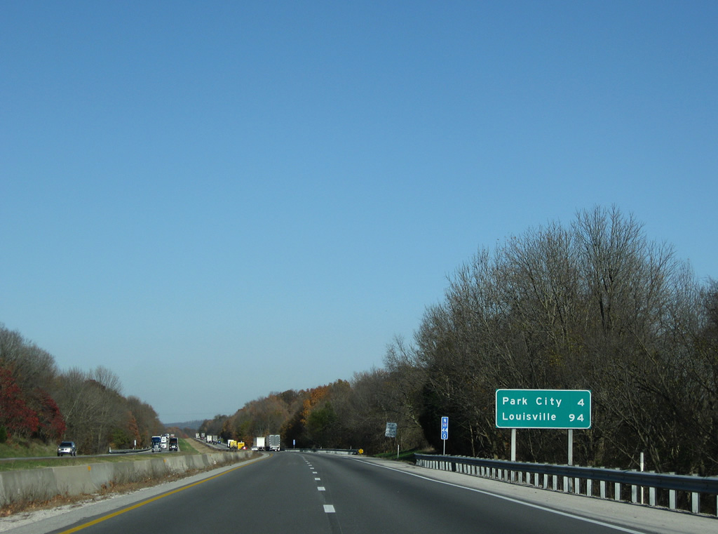
| Park City (Exit 48) follows in four miles. Louisville is 94 miles to the north. 11/04/09 |
|
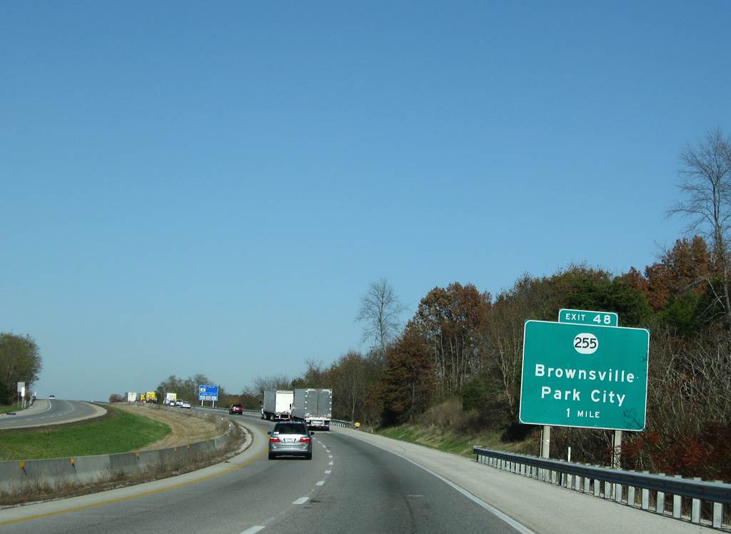
| KY 255 (Mammoth Cave Parkway) crosses paths with Interstate 65 at a diamond interchange (Exit 48) in two miles. 11/04/09 |
|
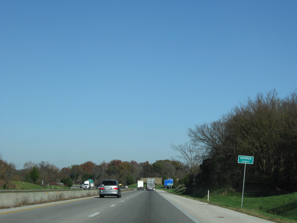
| Northbound Intersrate 65 reenters Barren County ahead of Park City. 11/04/09 |
|
| KY 255 northbound ends at KY 70 at Chaumont. KY 70 continues west through Mammoth Cave National Park to the Edmonson County seat of Brownsville. 11/04/09 |
|
| KY 255 (Mammoth Cave Parkway) leads north into Mammoth Cave National Park by way of the Diamond Caverns area. The exit is the first of three to serve the cave area. 11/04/09 |
|
| Interstate 65 skims northern reaches of Park City at Exit 48 to KY 255. KY 255 follows Old Dixie Highway Road south from Park City to Bon Ayr and Barren River Lake. 11/04/09 |
|
| Interstate 65 continues northeast six miles to Cave City and 86 miles to Louisville. 11/04/09 |
|
| Terraced rock cuts line Interstate 65 periodically between Barrett Knob to the north and Brushy Knob to the south between Park City and Cave City. 11/04/09 |
|
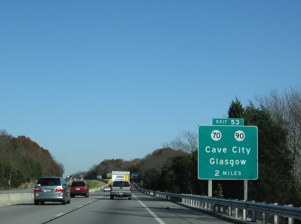
| A diamond interchange (Exit 53) joins Interstate 65 with KY 70 (Mammoth Cave Road) and the eastbound beginning of KY 90 in two miles. 11/04/09 |
|
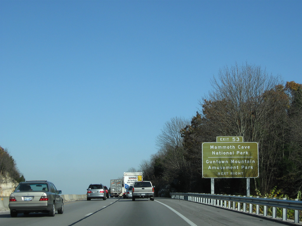
| KY 70 (Mammoth Cave Road) west and KY 255 (Old Mammoth Cave Road) north serve Mammoth Cave National Park via their split near Highland Springs. Other points of interest accessible via Exit 53 include Dinosaur World, Guntown Mountain Amusement Park and South Central Kentucky Cultural Center. 11/04/09 |
|
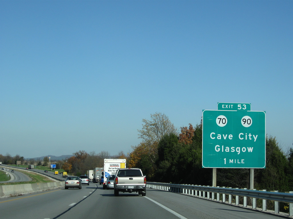
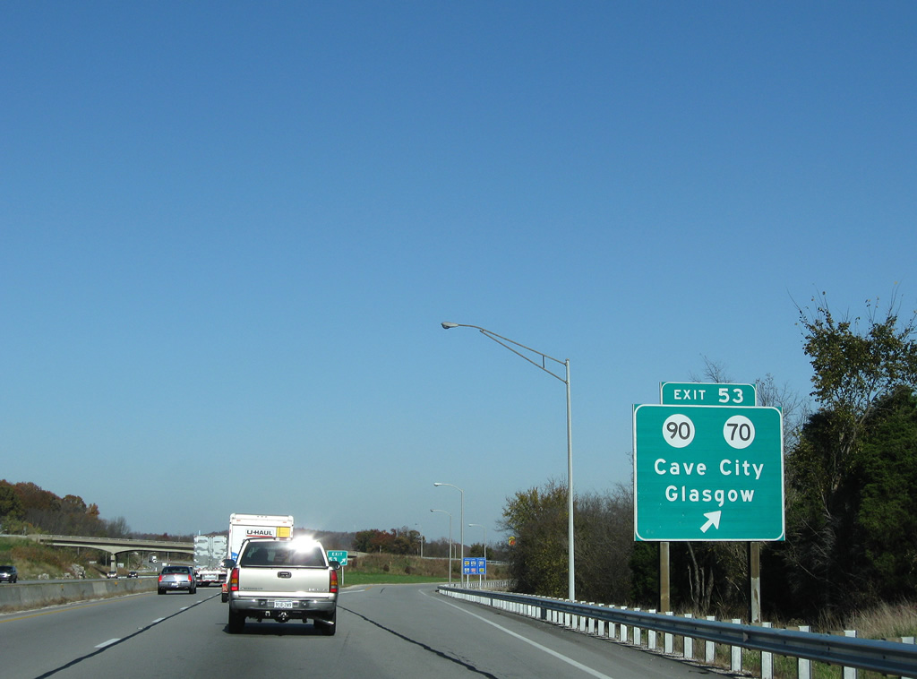
| KY 70/90 separate just east of Exit 53. KY 70 follows Mammoth Cave Street to Broadway Street and the town center. KY 90 straddles the southwest side of Cave City via Happy Valley Street. 11/04/09 |
|
| I-65 passes Huckleberry Knob just ahead of Exit 53. KY 90 leads south from Cave City to Glasgow on the 134.7 mile long course to U.S. 25W near Interstate 75. 11/04/09 |
|
| KY 70 continues 23 miles east from Exit 53 and Cave City to Hiseville and an overlap with U.S. 68 in Metcalfe County. The state route travels 276.0 miles overall between Smithland and U.S. 150 near Brohead. 11/04/09 |
|
| Turning northward, Interstate 65 exits Barren County for Hart County on the seven mile drive to Horse Cave. 11/04/09 |
|
| Advancing through Hatcher Valley, I-65 meets KY 218 (Flint Ridge Road) at a diamond interchange (Exit 58) in two miles. 11/04/09 |
|
| Beginning at Interstate 65, KY 218 heads southeastward to Main Street in Horse Cave. KY 335 ties in nearby via L and N Turnpike Road from Rowletts. 11/04/09 |
|
| Points of interest served by Exit 58 include Kentucky Down Under, the American Cave Museum and Horse Cave Theatre. Flint Ridge Road (former KY 474) stems west from KY 218 to Waterloo Valley and Northtown. 11/04/09 |
|
| KY 218 travels 26 miles between Exiy 58 and U.S. 68 near Exie. KY 335 briefly overlaps with the route south to Horse Cave, following Old Dixie Highway from Main Street to U.S. 31W at Cave City. 11/04/09 |
|
| Elizabethtown returns to northbound distance signs on this assembly posted eight miles south of the Hart County seat of Munfordville. 11/04/09 |
|
| Rest areas closed in Warren County and along Interstate 65 southbound near milepost 55 were replaced by modern facilities constructed in both directions between mileposts 59 and 60. 11/04/09 |
|
| Just north of milepost 60 is the crossing of Green River. A set of two lane bridges, built in 1968, pass high above the river near Row Bend and Summet Seat Knob. 11/04/09 |
|
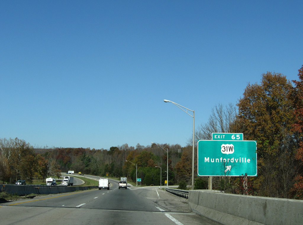
| U.S. 31W continues north from Horse Cave and Rowletts to Main Street through Munfordville. Leaving the town at Perryville, U.S. 31W meets Interstate 65 at Exit 65. 11/04/09 |
|
| A folded diamond interchange (Exit 65) joins Interstate 65 and U.S. 31W (Dixie Highway) adjacent to a CSX Railroad line. 11/04/09 |
|
| U.S. 31W (Dixie Highway) stays west of Interstate 65 from Perryville and Exit 65 to Leitchfield Crossing and Bonnieville. 11/04/09 |
|
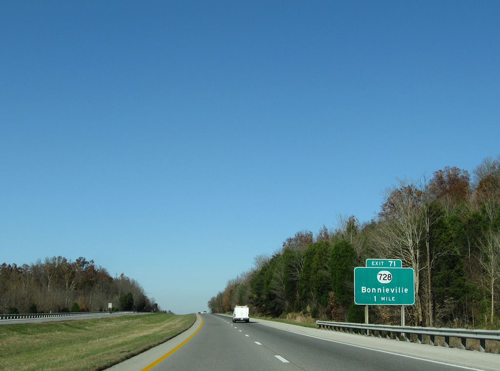
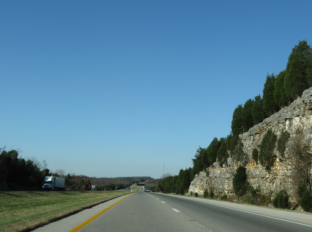
| Forested hills line both sides of Interstate 65 northbound on the six miles to Bonnieville. 11/04/09 |
|
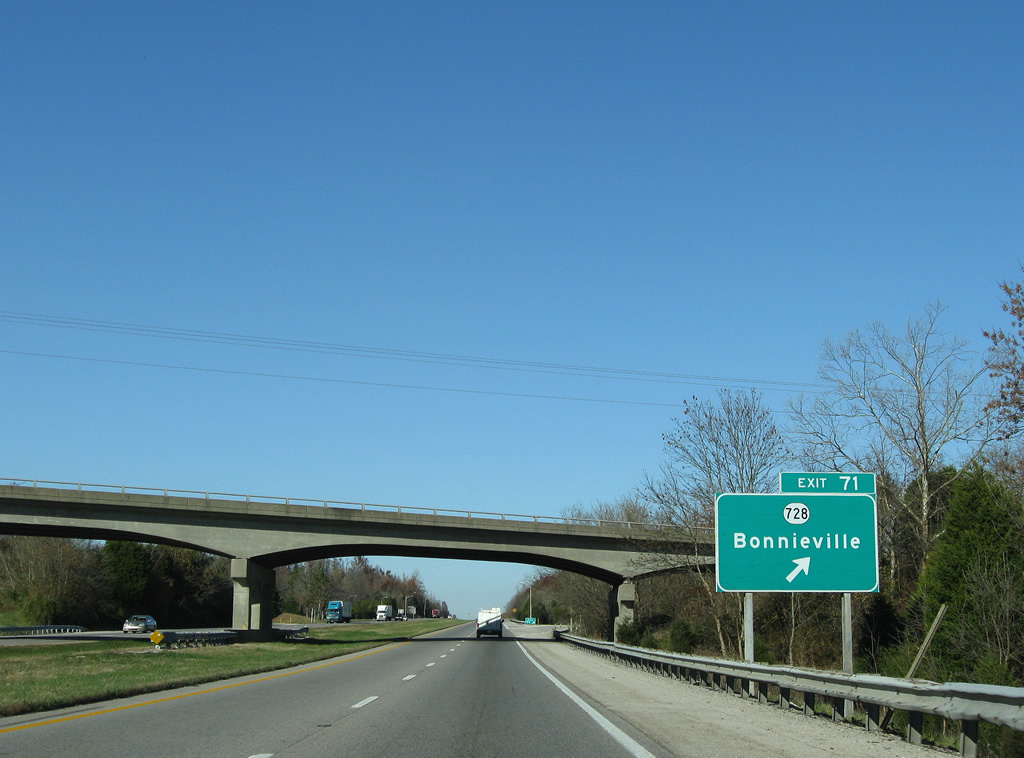
| KY 728 (Bacon Creek Road) converges with I-65 at a folded diamond interchange (Exit 71) next to Bacon Creek near Bonnieville. 11/04/09 |
|
| KY 728 (Bacon Creek Road) angles northeast from I-65 to Hammonville (KY 357). Westward, the route briefly overlaps with U.S. 31W (Dixie Highway) before exiting Bonnieville to Priceville and Cub Run. 11/04/09 |
|
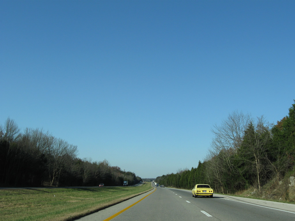
| Confirming shield posted after Bonnieville on Interstate 65 northbound. 11/04/09 |
|
| Interstate 65 proceeds six miles to Upton and 63 miles to Louisville. 11/04/09 |
|
| Burnt and Gardner Knobs rise just east of Interstate 65 on an otherwise subtle curve toward the Larue County line. 11/04/09 |
|
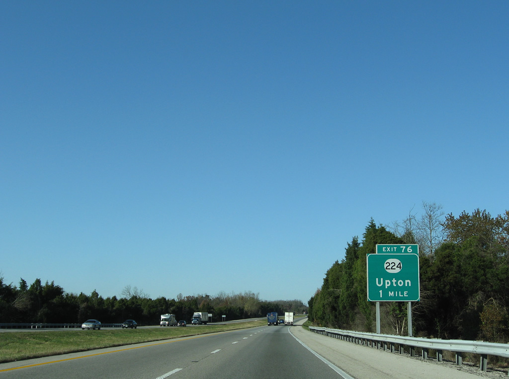
| A diamond interchange (Exit 76) links I-65 north with KY 224 (Upton-Talley Road) in one mile. Upton lies just west of the freeway at KY 224 and U.S. 31W (Walnut Street). 11/04/09 |
|
| Entering Larue County along Interstate 65 north. Larue County lies wholly within Eastern Time Zone. Interstate 65 remains in Eastern Time until reaching northwestern Indiana. 11/04/09 |
|
| Exit 76 leaves Interstate 65 north for KY 224 (Upton-Talley Road). KY 224 travels east to Talley and Brooks, ending at KY 357. Westward from U.S. 31W, the state route follows Millerstown Road toward Cash and Millerstown in northern Hart County. 11/04/09 |
|
| Sonora represents the next northbound exit in five miles. Interstate 65 leaves western Larue County for 24.647 miles through Hardin County. 11/04/09 |
|
| Exit 93 for Martha Layne Collins-Blue Grass Parkway east and Exit 112 for KY 245 east lead from I-65 to the Kentucky Bourbon Trail. 11/04/09 |
Page Updated 05-21-2011.

 North
North