|
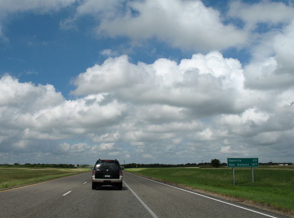
| Interstate 37 remains a rural freeway 29 miles north through agricultural areas to unincorporated Oakville. San Antonio is an hour and a half away. 09/29/07 |
|
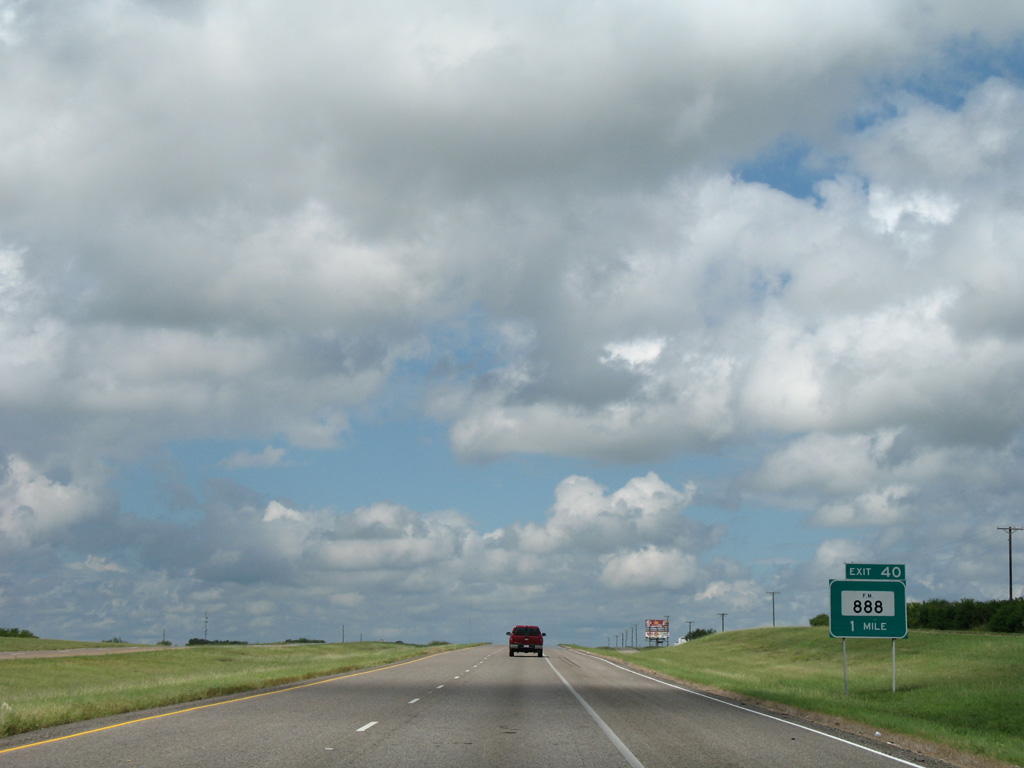
| Northbound travelers cross into Live Oak County just ahead of the diamond interchange (Exit 40) with FM 888. 09/29/07 |
|
| FM 888 follows a convoluted route 24.83 miles northeast from Las Lomas on Lake Corpus Christi to Exit 40, Argenta and U.S. 181 Business in Beeville. 09/29/07 |
|
| A northbound side parking area lies 1.25 miles beyond the FM 888 underpass at Exit 40. 09/29/07 |
|
| Reassurance marker posted after the FM 888 on-ramp. 24,677 vehicles per day (vpd) were recorded by TxDOT on this stretch in 2015. 09/29/07 |
|
| IH 37 north at the parking area located south of Williams Hollow. 09/29/07 |
|
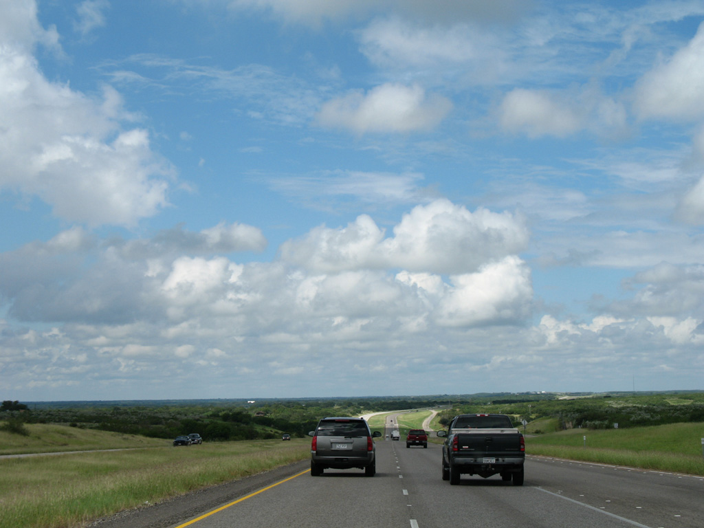
| Interstate 37 dips across Rufe Williams Hollow to the east of Hideaway Hill on Lake Corpus Christi. FM 3024 parallels just to the west along the former State Highway 9. 09/29/07 |
|
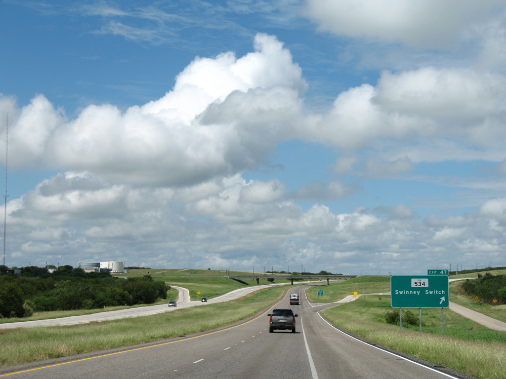
| A 6.2 mile exit less stretch leads IH 37 north to FM 534 at Swinney Switch. 09/29/07 |
|
| FM 534 loops 28.17 miles north from SH 359 near Orange Grove to FM 796 east of Exit 47. The rural highway crosses Lake Corpus Christi west from Swinney Switch to Dinero. 09/29/07 |
|
| Interstate 37 bends northwest across rolling hills and grasslands as it advances toward Three Rivers. 09/29/07 |
|
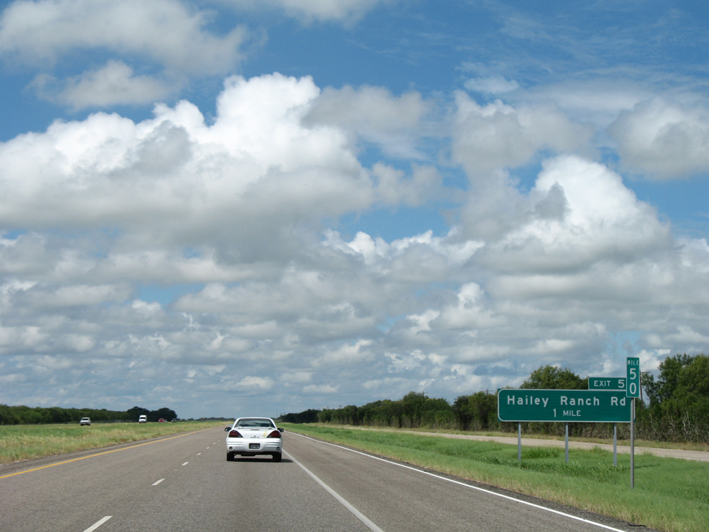
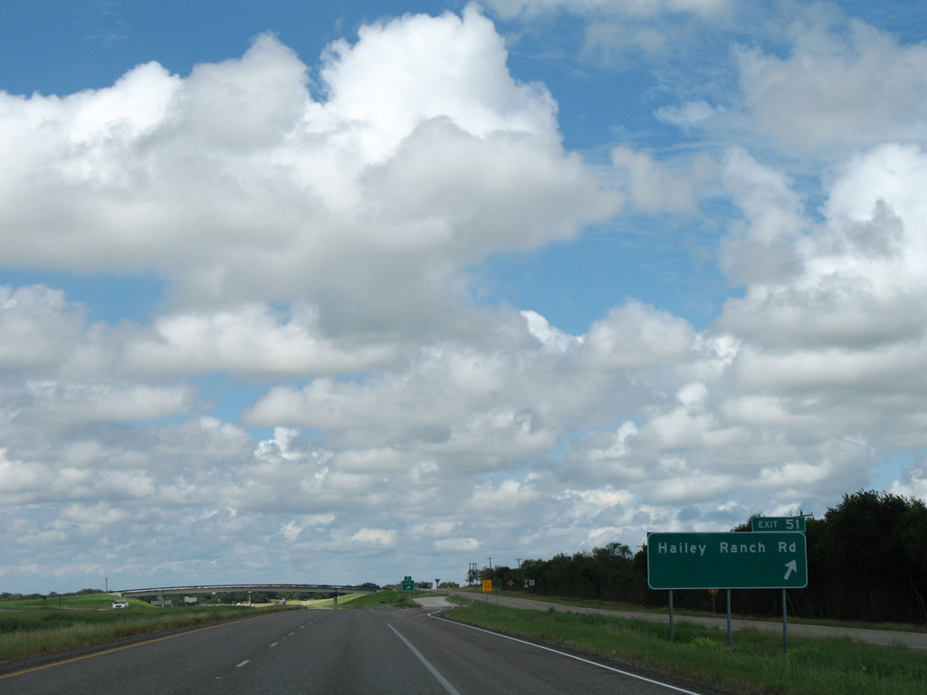
| A modified diamond interchange joins IH 37 north with Hailey Ranch Road in one mile. 09/29/07 |
|
| Hailey Ranch Road (CR 356) spurs southwest from the frontage road system at Exit 51 toward the Nueces River. 09/29/07 |
|
| Interstate 37 reassurance marker posted as the freeway shifts slightly north across La Para Creek. 09/29/07 |
|
| U.S. 59 crosses paths with IH 37 north at a diamond interchange (Exit 56) five miles east of George West and 17 miles west of Beeville. The route doubles as the future IH 69C corridor. 09/29/07 |
|
| This alignment of U.S. 59 was commissioned in 1959, replacing what was previously SH 359. George West is the county seat of rural Live Oak County and the location where IH 69C and IH 69W will eventually split on respective routes to McAllen and Laredo. 09/29/07 |
|
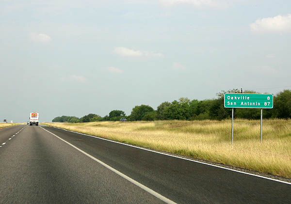
| Distance sign posted eight miles ahead of Oakville and 87 miles from San Antonio. Despite of population of just 260 in 2000, Oakville is the next destination city. 10/07/05 |
|
| FM 799 angles northeast from U.S. 59 to meet Interstate 37 at a diamond interchange (Exit 59) in one mile. 10/07/05 |
|
| East from Exit 59, FM 799 makes a sweeping arc to Cadiz and FM 673 outside Beeville. The rural highway totals 27.89 miles. 09/29/07 |
|
| Interstate 37 progresses five miles northwest to Oakville and 84 miles to San Antonio. 10/07/05 |
|
| FM 1203 curves 5.67 miles west from FM 799 to end at the east side frontage road. IH 37 continues 0.8 miles from there to meet FM 1358 at Oakville. 09/29/07 |
|
| Exit 65 departs IH 37 north for Oakville and FM 1358. FM 1358 constitutes a 15.83 mile loop east from Oakville to Karon and northwest to Ray Point and SH 72. 09/29/07 |
|
| The optional shoulder lane used for hurricane evacuations extends north from Oakville. 09/29/07 |
|
| Distance sign posted at the County Road 207 overpass, 41 miles south of Pleasanton and 74 miles out from San Antonio. 09/29/07 |
|
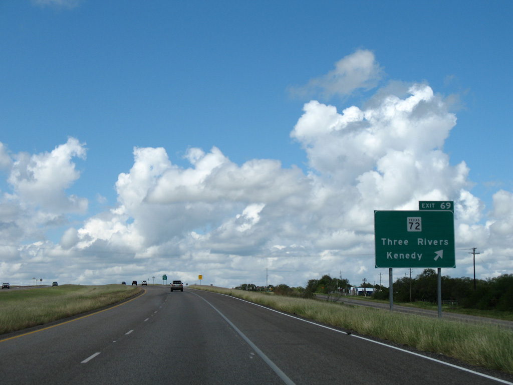
| Interstate 37 passes 1.6 miles east of the Three Rivers city limits, meeting SH 72 at a diamond interchange (Exit 69). 09/29/07 |
|
| SH 72 travels 111.73 miles overall, from U.S. 87 at Cuero to SH 97 at Fowlerton. The state highway overlaps with U.S. 281 (Harborth Avenue) through Three Rivers before turning west to Choke Canyon Reservoir and State Park. 09/29/07 |
|
| This confirming marker for IH 37 stands north of the SH 72 on-ramp. 09/29/07 |
|
| Pleasanton is a half hour drive north of Three Rivers. San Antonio is now 70 miles away. 09/29/07 |
|
| Interstate 37 bee lines northwest and converges with U.S. 281 north from Three Rivers at Exit 72. 09/29/07 |
|
| A half diamond interchange (Exit 72) utilizes the frontage road system to link IH 37 north with U.S. 281 south. South of George West, U.S. 281 is the IH 69C corridor to the Rio Grande Valley. 09/29/07 |
|
| U.S. 281 north combines with Interstate 37 at a wye interchange one mile ahead of a truck weigh station. 09/29/07 |
|
|
| Traffic reaches the northbound side weigh station, the first along IH 37. 09/29/07 |
|
| U.S. 281 overlaps with Interstate 37 for 30.4 miles to Pleasanton. 04/10/05 |
|
| U.S. 281 Alternate emerges from IH 37 & U.S. 281 at Exit 76 to follow the former route of U.S. 281 northwest to Whitsett. 04/10/05 |
|
| Crossing Brush Pen Hollow, drivers along IH 37 & U.S. 281 enter the diamond interchange (Exit 76) with U.S. 281 Alternate north and FM 2049. FM 2049 travels wholly within Live Oak County along a 10.46 mile course east, from U.S. 281 Alternate near Suniland, to SH 72. 09/29/07 |
|
| Interstate 37 spans Weedy Creek beyond this north confirming marker. 09/29/07 |
|
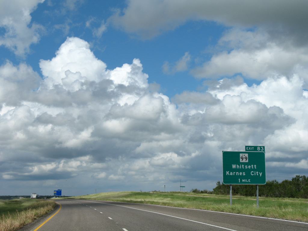
| Rest areas line both sides of Interstate 37 & U.S. 281 between Suniland and Exit 83 with FM 99. 09/29/07 |
|
| FM 99 meanders north from Mc Mullen County across Choke Canyon Reservoir to the community of Whitsett and IH 37 & U.S. 281 at forthcoming Exit 83. 09/29/07 |
|
| Exit 83 leaves the northbound freeway for FM 99 west to Whitsett and northeast to Fashing and Coy City. The state highway totals 53.90 miles overall, ending at FM 1144 in Karnes City. 09/29/07 |
|
| An erroneous U.S. 281 trailblazer directs motorists west on FM 99 to U.S. 281 Alternate. FM 99 zigzags northeast nine miles from IH 37 & U.S. 281 to Esseville and Peggy. 09/29/07 |
|
| Crossing Olmos Creek, IH 37 commences a 34.89 mile stint through Atascosa County. 09/29/07 |
|
| Reassurance marker posted ahead of milepost 84. The IH 37 evacuation lane extends northward to the merge with U.S. 181 at Exit 132. 09/29/07 |
|
| Heading north across the Lipan Hills, IH 37 & U.S. 281 next meet FM 1099 by the unincorporated community of Campbellton. 09/29/07 |
|
| FM 791 briefly overlaps with U.S. 281 Alternate (Commerce Street) at Campbellton as part of its east-west alignment between SH 16 in Mc Mullen County and U.S. 181 at Falls City. There is no direct access to FM 791 from IH 37. 09/29/07 |
|
| Entering the diamond interchange (Exit 88) with FM 1099 on Interstate 37 & U.S. 281 north. FM 1099 stems east from U.S. 281 Alternate across the Lipan Hills to FM 99 near Peggy. 09/29/07 |
|
| Having paralleling the Atascosa River north from Three River, IH 37 finally crosses it north of Campbellton. 04/10/05 |
|
| The coastal bend country that IH-37 and US 281 runs through is relatively flat, with a very gradual slope upwards to San Antonio. 09/29/07 |
|
| U.S. 281 Alternate concludes a 16.72 mile route at IH 37 just west of the Atascosa River. 09/29/07 |
|
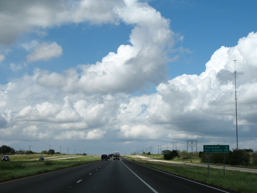
| Pleasanton lies 15 miles to the northwest. San Antonio is now 48 miles away. 09/29/07 |
|
| A diamond interchange (Exit 98) joins IH 37 & U.S. 281 with the west end of FM 541 in one mile. 09/29/07 |
|
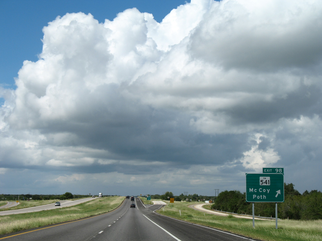
| FM 541 goes northeast 35.38 miles to McKay, De Wees, the town of Poth and SH 123 at Kosciusko. 09/29/07 |
|
| The reassurance assembly north of Exit 98 omits U.S. 281. 09/29/07 |
|
| Travelers continuing north along IH 37 will reach Pleasanton in ten miles and San Antonio in 42 miles. 09/29/07 |
|
| Interstate 37 traverses sparsely populated areas to the upcoming split with U.S. 281. 09/29/07 |
|
| The succeeding off-ramp from IH 37 north joins the east side frontage road north to Jim Brite and Leal Roads. A half diamond interchange (Exit 104) links Leal Road with IH 37 south directly. 09/29/07 |
|
| Leal Road west from IH 37 to U.S. 281 doubles as State Spur 199. The 0.73 mile route connects the southbound freeway with U.S. 281 leading northwest to Pleasanton. 09/29/07 |
|
| U.S. 281 separates with IH 37 north at wye interchange (Exit 103) and proceeds northwest into Pleasanton. The US highway parallels the freeway northward to Leming on the way to San Antonio. 09/29/07 |
|
| Interstate 37 bypasses Pleasanton to the east, meeting Coughran Road at Exit 106. 09/29/07 |
|
| Coughran Road (CR 721) west serves south Pleasanton. The county road connects IH 37 with FM 1334, a 1.23 mile route west to U.S. 281. 09/29/07 |
|
| Entering the rural diamond interchange (Exit 106) with Coughran Road on Interstate 37 north. 09/29/07 |
|
| Interstate 37 bends eastward from Coughran Road to cross a Union Pacific Railroad and the Atascosa River. 09/29/07 |
|
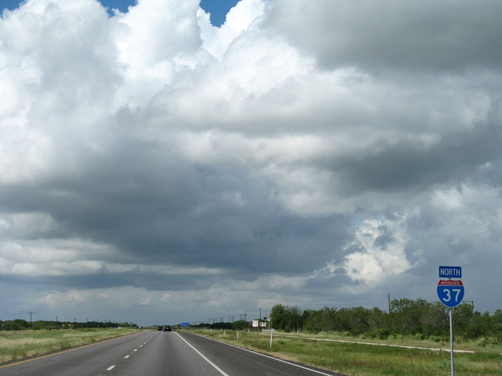
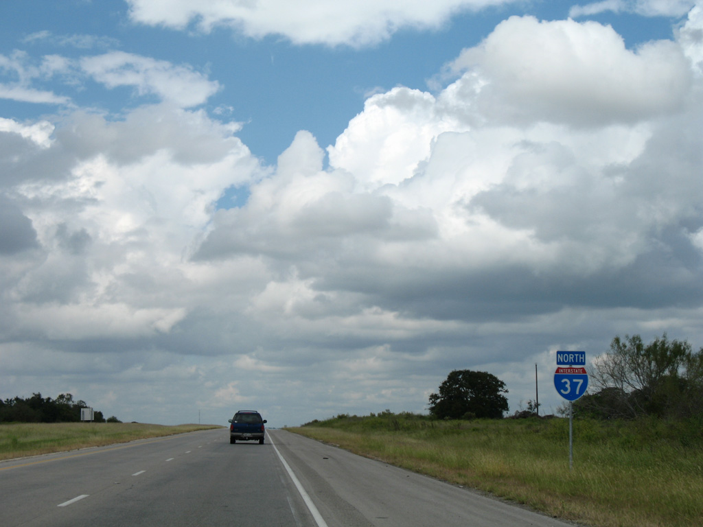
| 33 miles remain along the freeway north into Downtown San Antonio. 09/29/07 |
|
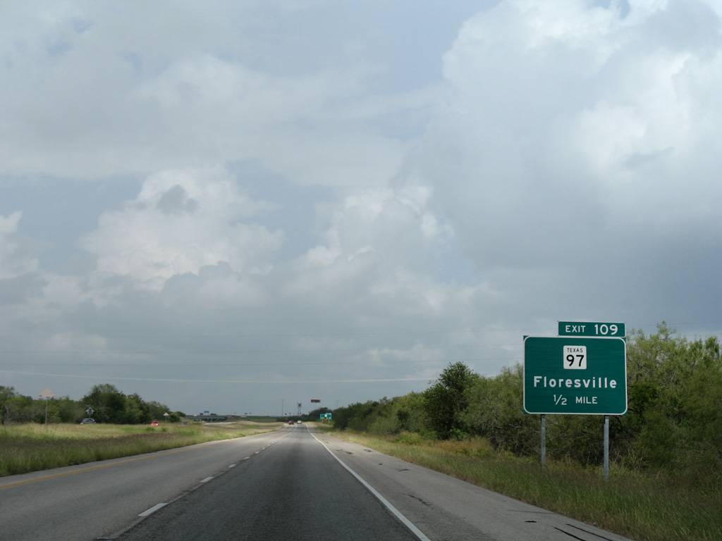
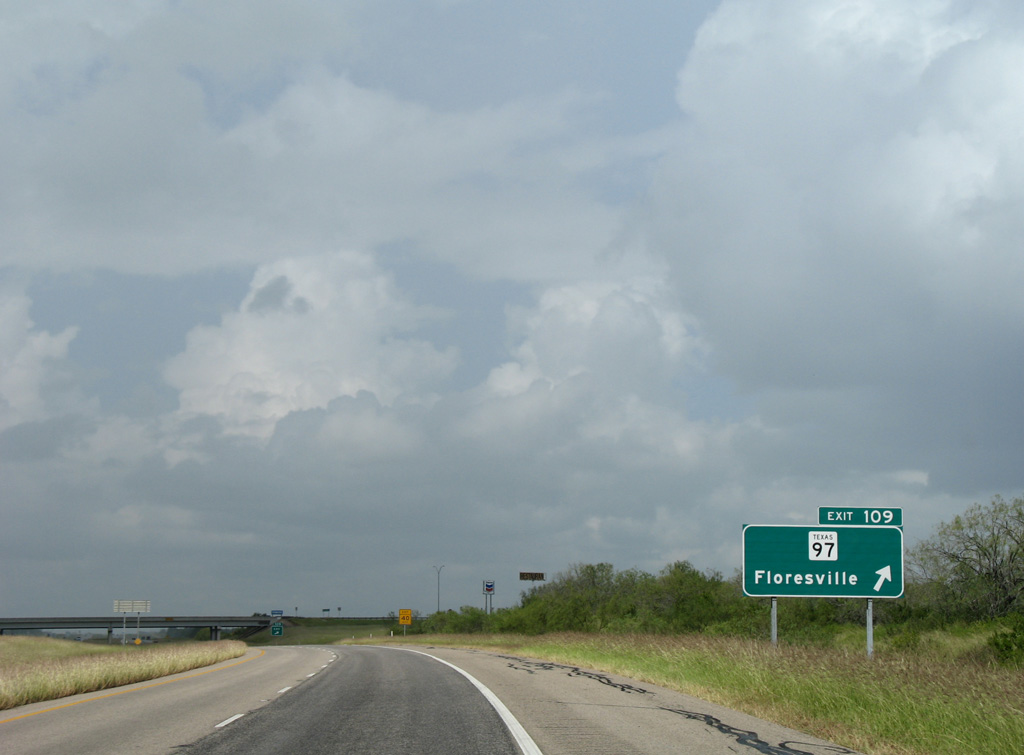
| Corgey Road (CR 720) spans IH 37, one mile south of the diamond interchange (Exit 109) with SH 97. 09/29/07 |
|
| SH 97 ventures northeast form Pleasanton along a somewhat linear route 23 miles to the Wilson County seat of Floresville. 09/29/07 |
|
| Exit 109 leaves IH 37 north for SH 97. State Highway 97 travels 143.75 miles overall from Business Loop I-35 in Cotulla to U.S. 90 in Waelder. 09/29/07 |
|
| A wide tree lined median separates the IH 37 roadways to a picnic area near milepost 112. Texas was a pioneer in constructing roadside picnic areas. 09/29/07 |
|
| FM 3006 branches 4.02 miles northeast from U.S. 281 to end at Interstate 37. 09/29/07 |
|
| A half mile ahead of the diamond interchange (Exit 113) with FM 3006 west. Trees become more prevalent as IH 37 gets closer to the Hill Country. 04/10/05 |
|
| Verdi Road (CR 929) extends east from FM 3006 and Exit 113 to FM 1784 at the settlement of Verdi. 04/10/05 |
|
| Interstate 37 continues north across open ranch land over the ensuing stretch. 09/29/07 |
|
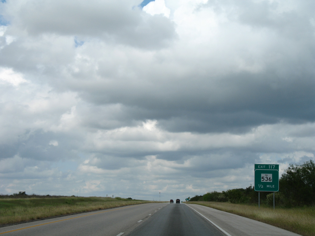
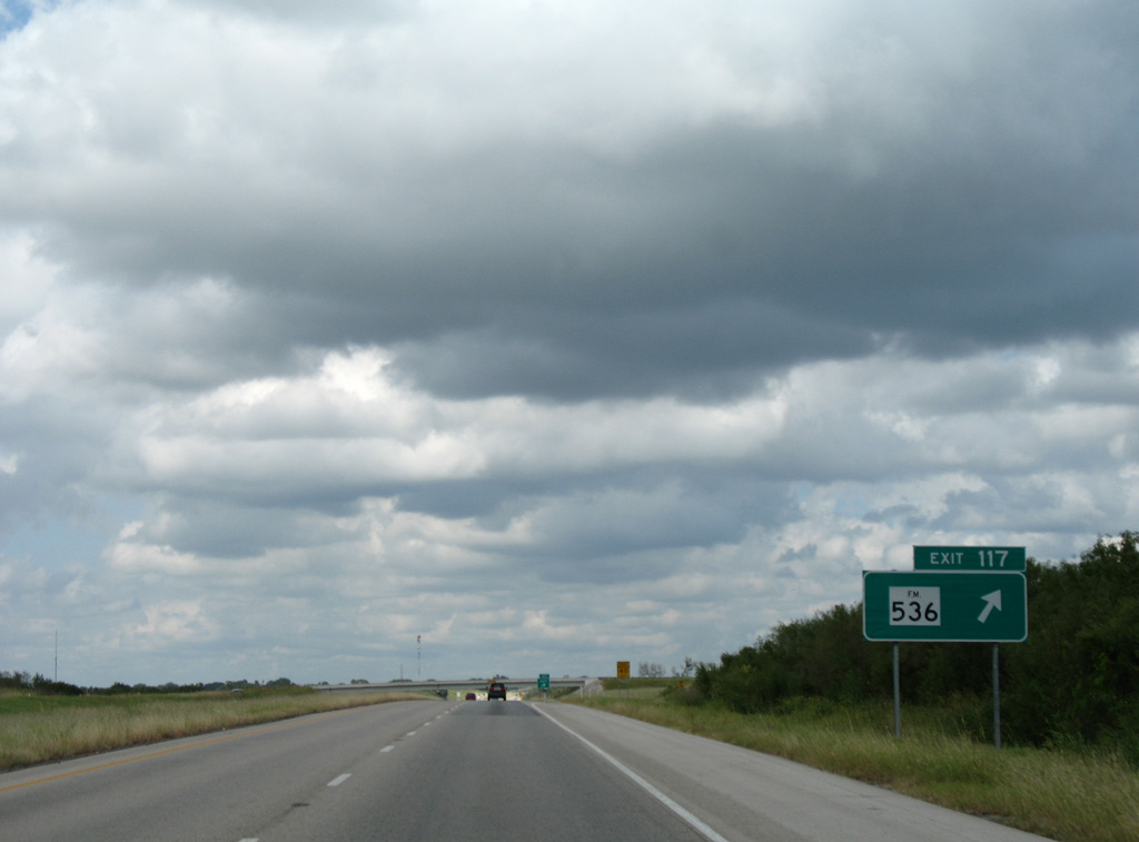
| FM 1784 passes under IH 37 northwest from Verdi as the freeway approaches a diamond interchange (Exit 117) with FM 536. 09/29/07 |
|
| West from Exit 117 and Purtle Hollow, FM 536 travels 3.8 miles to U.S. 281 at Las Gallinas. 09/29/07 |
|
| A 22.43 mile route, FM 536 meanders east from IH 37 to Loire, Fairview and State Loop 181 in Floresville. 09/29/07 |
|
| Traffic counts gradually increase as Interstate 37 pushes northward toward San Antonio. 34,887 vehicles per day were noted ahead of the Bexar County line by TxDOT in 2015. 09/29/07 |
|
| Just south of the Hill Country, runoff filters into several aquifers such as the Edwards Aquifer that serves Bexar County and greater San Antonio. 09/29/07 |
Page Updated 08-30-2017.


 North
North