|
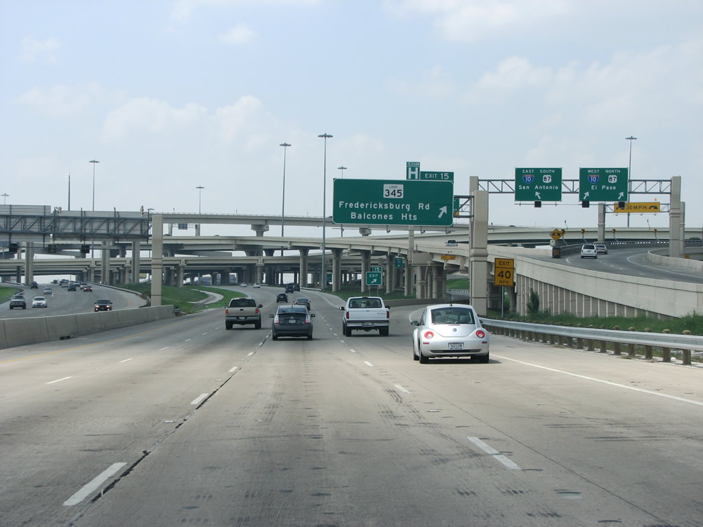
| Exit 15 to Fredericksburg Road (SL 345) and Balcones Heights departs from within the systems interchange with IH 10/U.S. 87. Fredericksburg Road, the former alignment of U.S. 81, closely follows IH 10 northwest out of central San Antonio. Fredericksburg is a German-built town to the northwest of San Antonio. 08/31/08 |
|
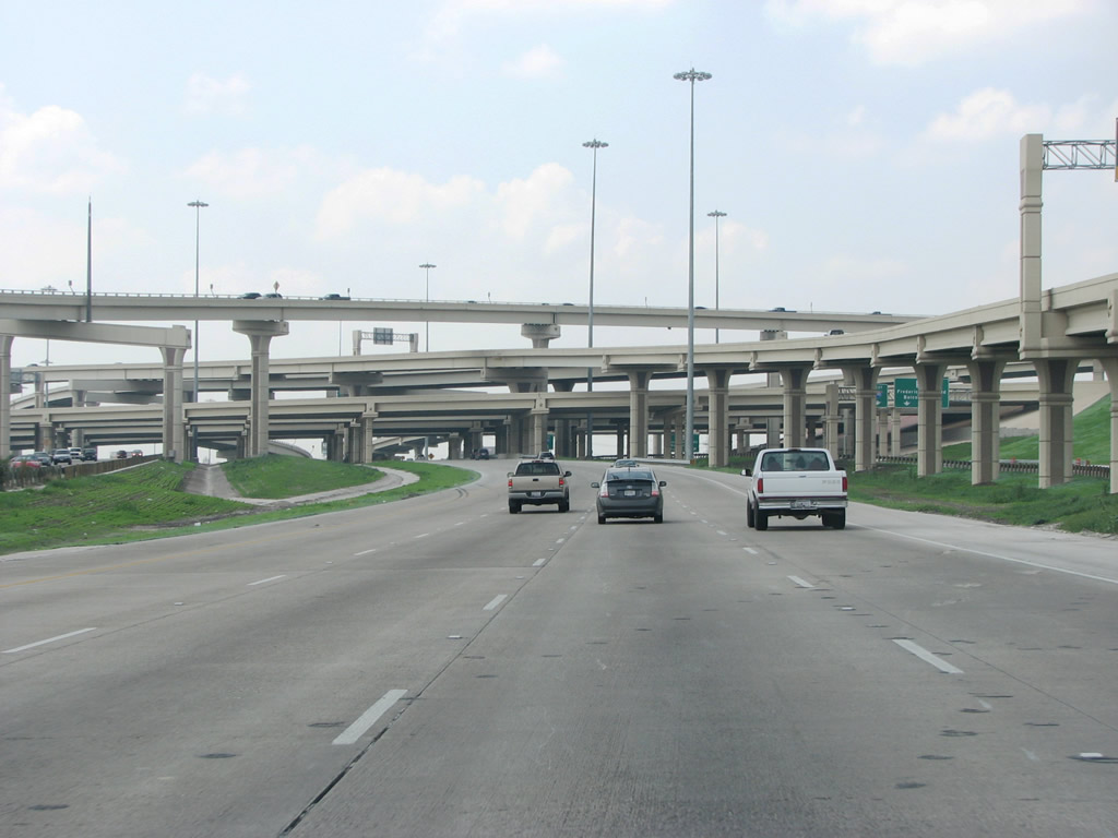
| The four-level stack at IH 10 cost $132 million. Differing in decor from the stack at U.S. 281, which has more flourishes, the exchange at IH 10 was rebuilt from 2000 until 2006. 08/31/08 |
|
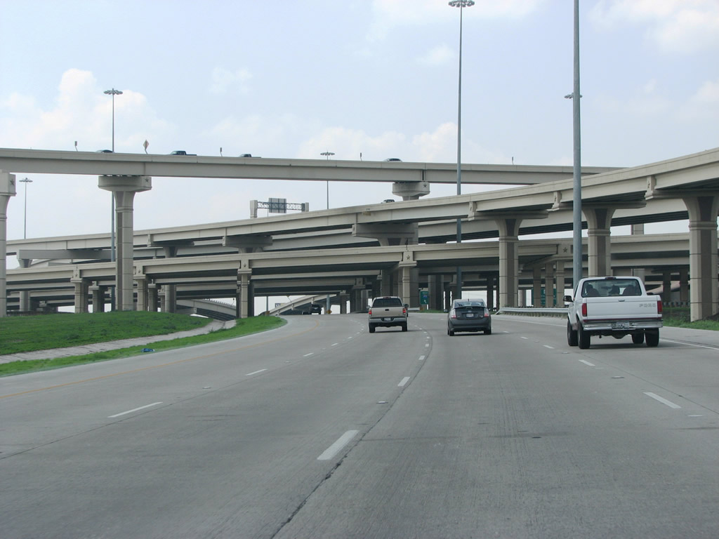
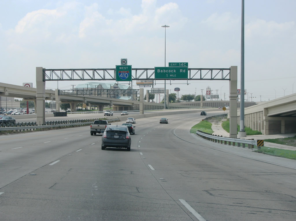
| IH 410 maintains eight lanes through the IH 10 stack. Retail and businesses line both sides of the busy freeway, including the Wonderland of the Americas mall. The ensuing exit to the west is with Babcock Road. 08/31/08 |
|
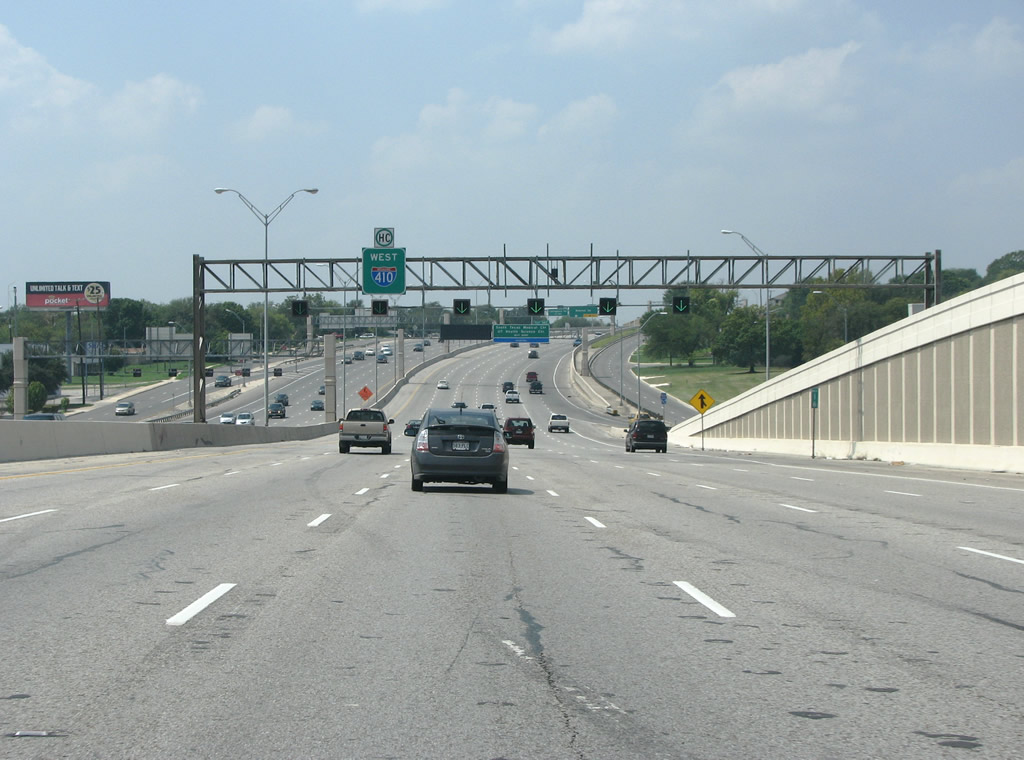
| Expansion of the four lane freeway for IH 410 at IH 10 commenced in the late 1990s. 08/31/08 |
|
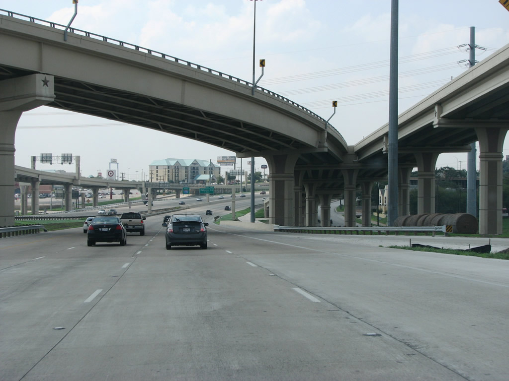
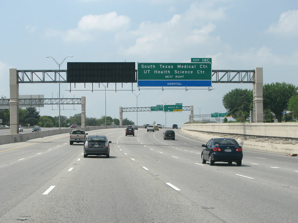
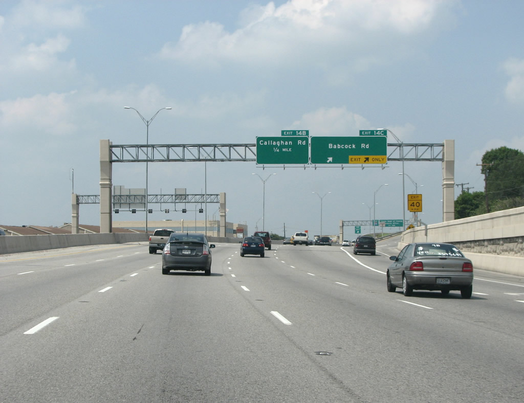
| The primary purpose of Babcock Road and Exit 14C is to connect IH 410 to some of San Antonio's largest hospitals, which sit in the medical district just to the northwest. 08/31/08 |
|
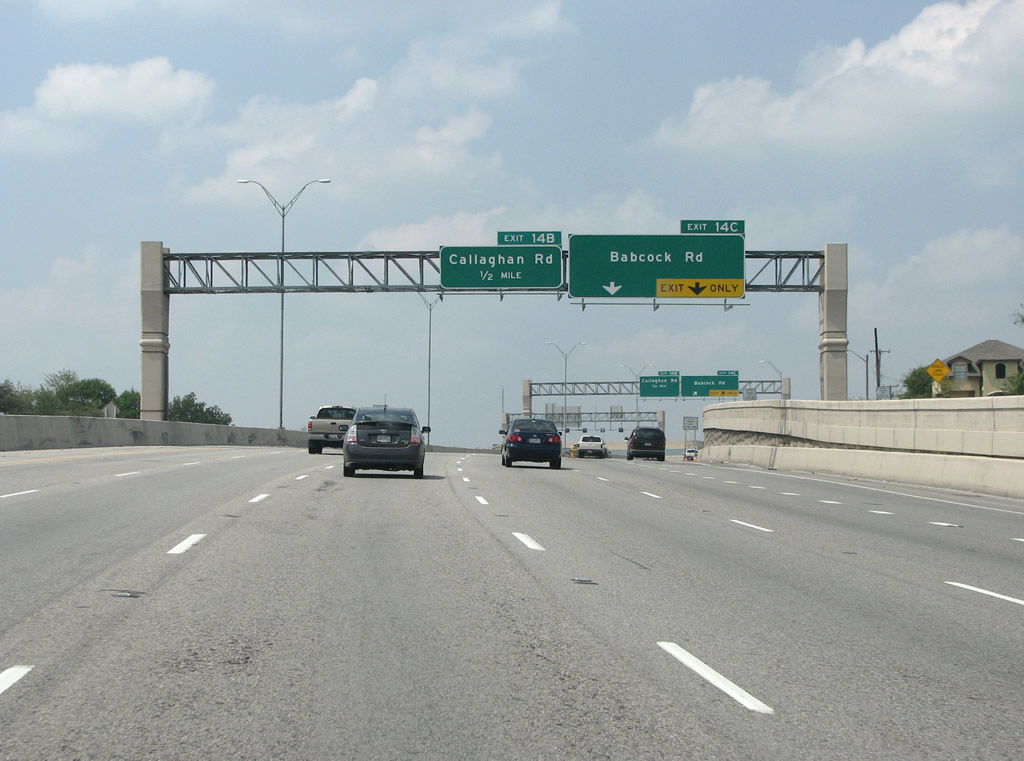
| IH 410 westbound reaches Exit 14C for Babcock Road. Originally built in 1957, the section of freeway from here to the next exit at Callaghan Road was widened in 2002. 08/31/08 |
|
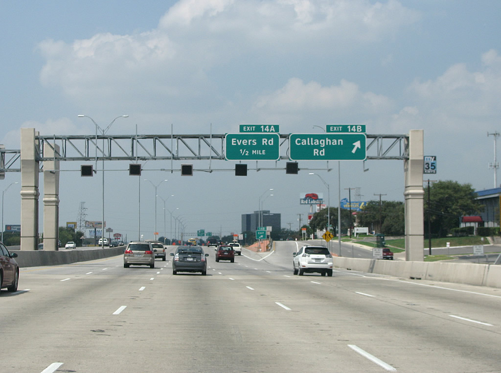
| Callaghan is a long arterial with a somewhat meandering course, that also crosses IH 10. Much of the road runs through middle class suburban areas on the west side of San Antonio that were originally built to house soldiers stationed at nearby Lackland and Kelly Air Force bases. 08/31/08 |
|
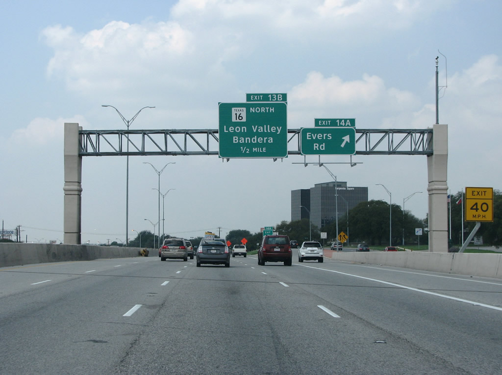
| The succeeding section of IH 410 west at Evers Road (Exit 14A) was expanded in 2003. Evers is a relatively minor road that runs northwest out of the city into the suburbs. 08/31/08 |
|
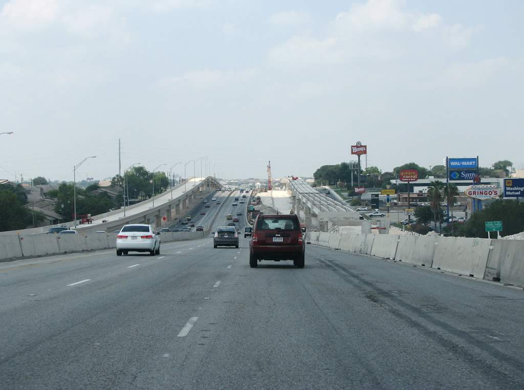
| Construction wrapped up at the end of 2009 widened IH 410 to ten overall lanes with new flyovers built at the interchange with SH 16 (Bandera Road). Bandera Road is a busy arterial running northwest and west out of the city. Bandera Road represents San Antonio's only major cancelled freeway. 08/31/08 |
|
| Exit 13A departs below the flyover (Exit 13B) for SH 16 (Bandera Road) west for Spur 421 southeast. Spur 421 measures 5.95 miles along Bandera and Culebra Roads to IH 10/U.S. 87 near Woodlawn Lake. 08/31/08 |
|
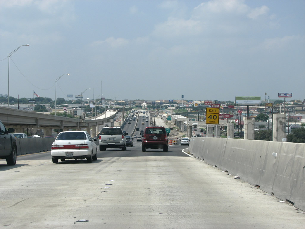
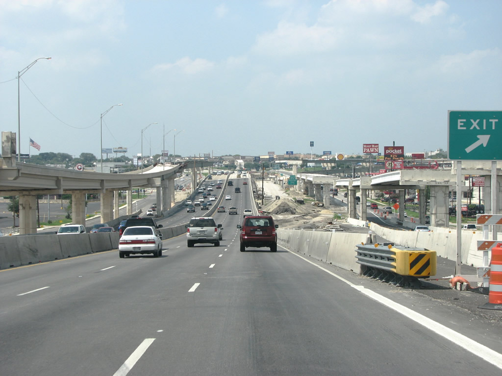
| SH 16 south combines with IH 410 beyond the off-ramp (Exit 12) to Exchange Parkway and Ingram Road. 08/31/08 |
|
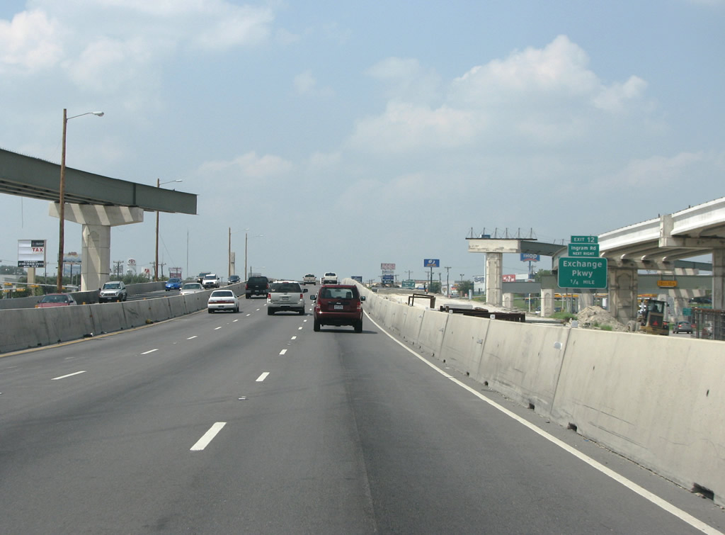
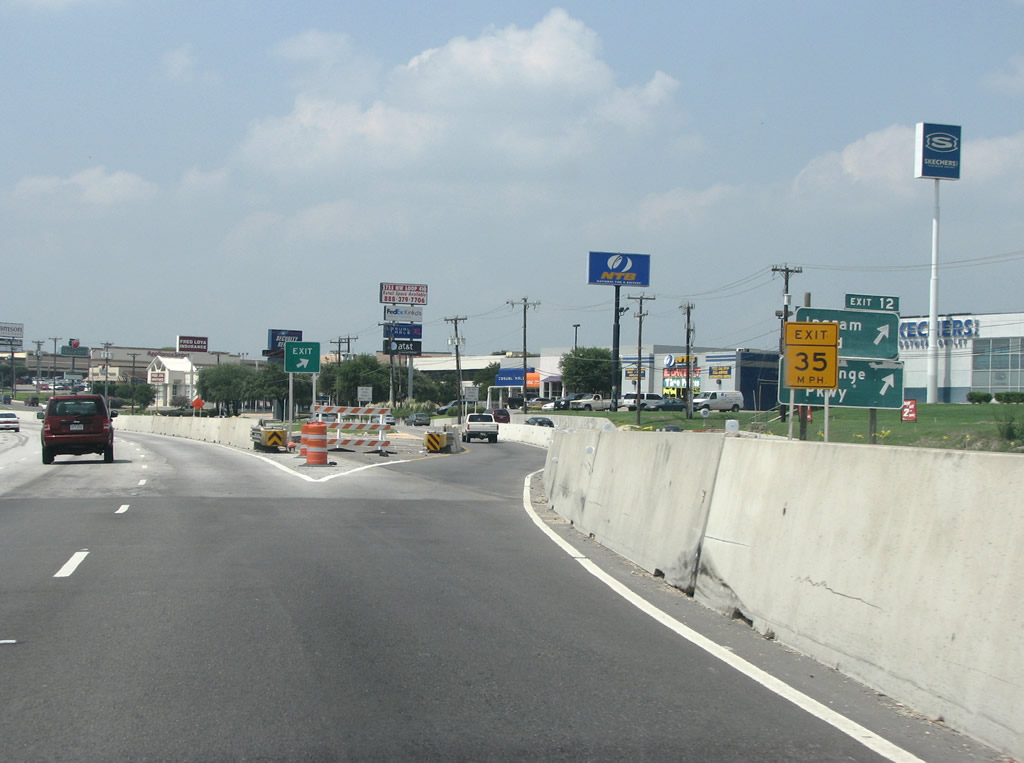
| Exit 12 departs IH 410 south for Exchange Parkway, followed by Exit 11 to Ingram Road. Ingram Park Mall, as are several large business parks, lie adjacent to the freeway along this stretch. Suburban expansion of San Antonio reached its zenith to the north, abutting protected areas of the hill country. Outward expansion of the city shifted westward, where tremendous amounts of development took place. Widening IH 410 as well as extending the SH 151 freeway and upgrading the U.S. 90 freeway enhanced transportation in this area of the city. 08/31/08 |
|
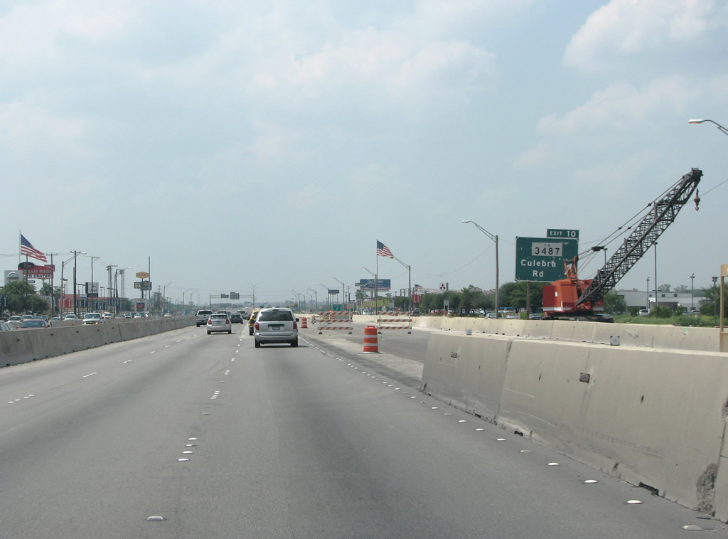
| Culebra Road is an important route connecting large points of interest, such as the various Air Force Bases and the Southwest Research Institute. The urban boulevard continues eastward all the way into the Downtown area of San Antonio. Headed west, the route continues to the popular Lake Medina and other hilly venues. 08/31/08 |
|
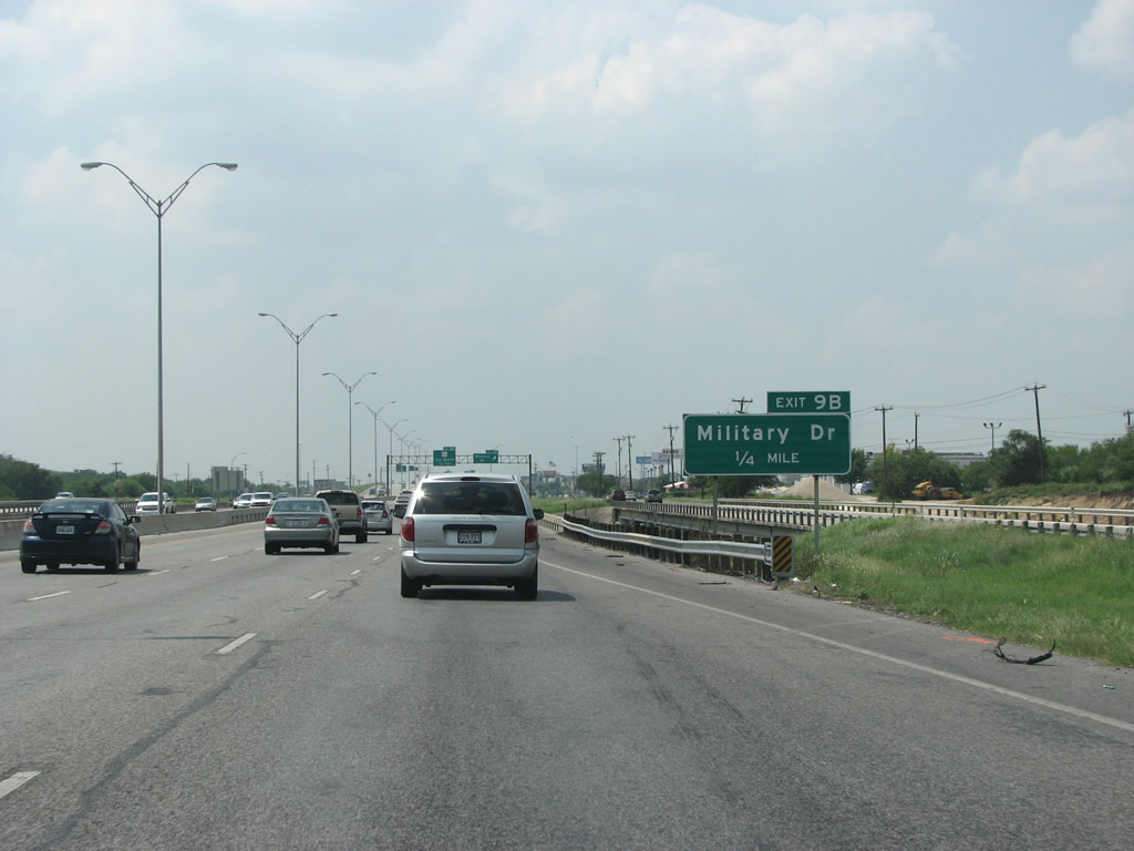
| IH 410/SH 16 south cross Leon Creek at Exit 9B for Military Drive. 08/31/08 |
|
| As the name would suggest, Military Drive is the main street of the large Lackland Air Force Base, located south of U.S. 90 (Cleto Rodriguez Freeway). The road becomes part of Loop 13 south of U.S. 90 and continues around the south side of San Antonio. SL 13 was constructed to connect various military institutions like Lackland, Kelly Air Force Base, Fort Sam Houston and others. 08/31/08 |
|
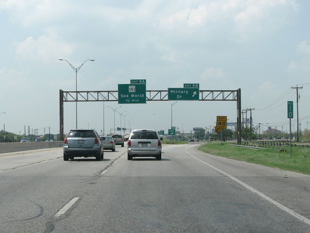
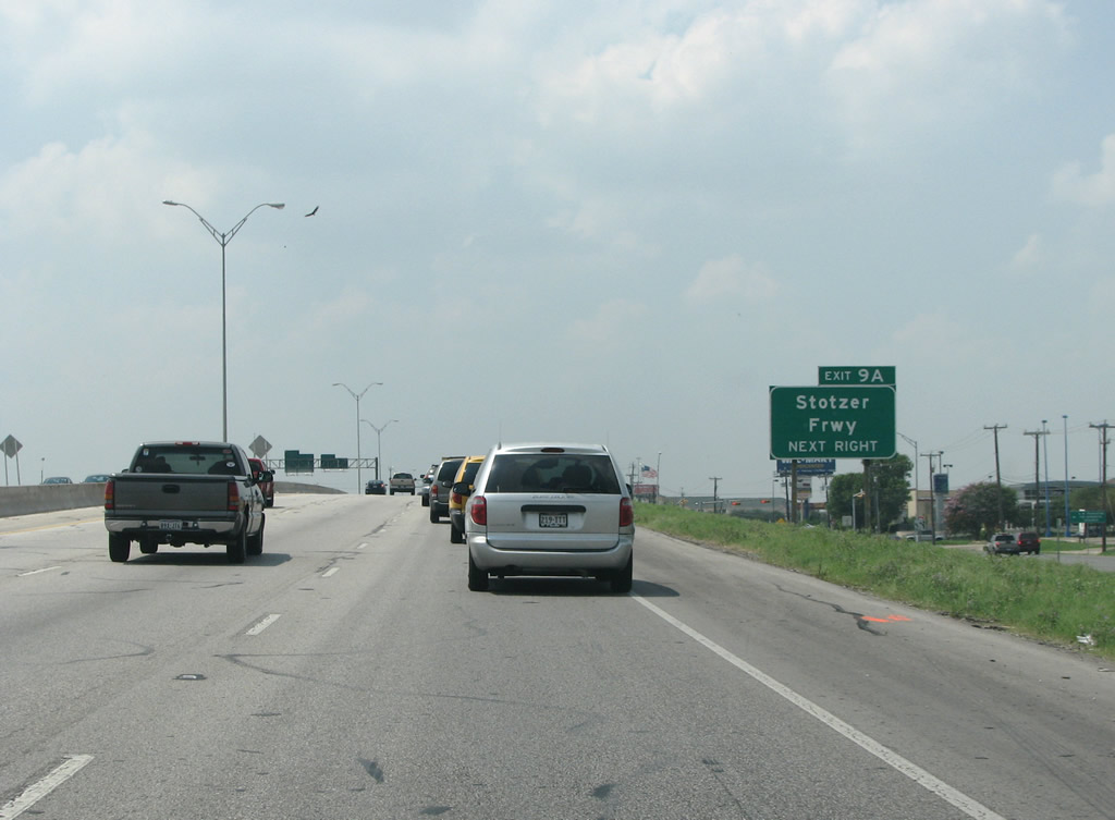
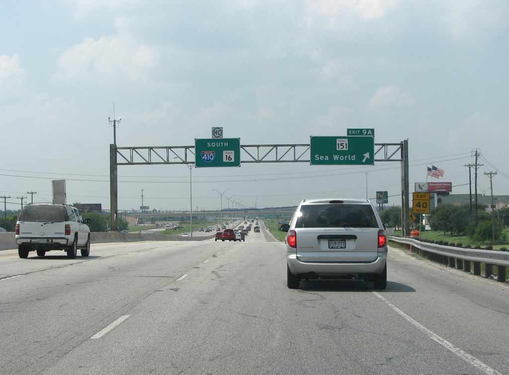
| The next exit connects IH 410/SH 16 to SH 151, the Raymond Stotzer Freeway. Stotzer was the TxDot bureaucrat who OK'ed the project to built the SH 151 freeway in 1983. The entire route opened in 2004. 08/31/08 |
|
| Flyovers at Exit 9 were eventually constructed to directly link IH 410/SH 16 south with SH 151 (Stotzer Freeway) west and from SH 151 east to the beltway north. SH 151 winds northwest through suburban tract housing to SeaWorld San Antonio theme park. 08/31/08 |
|
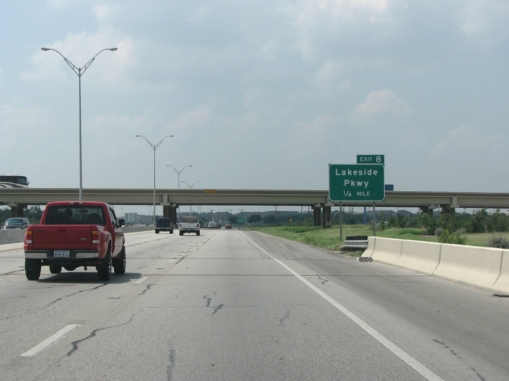
| Construction of the systems interchange with SH 151 eliminated the slip ramp (Exit 8) to Lakeside Parkway and replaced it with a new ramp (Exit 7) to Marbach Road. 08/31/08 |
|
| Since resigned from Lakeside Parkway to Marbach Road, Exit 8 departs just beyond the systems interchange with SH 151 to the adjacent frontage road. 08/31/08 |
|
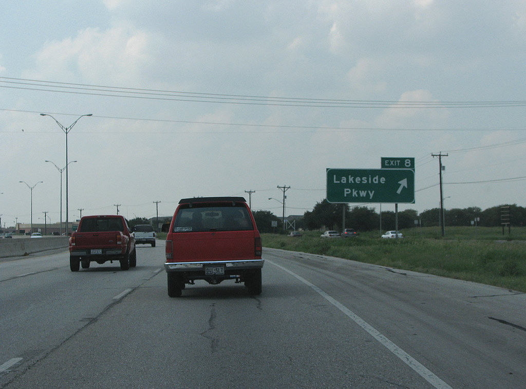
| IH 410/SH 16 southbound at Lakeside Parkway, a short connector to an area of several apartments, retail and The Enclave at Lakeside development, 08/31/08 |
|
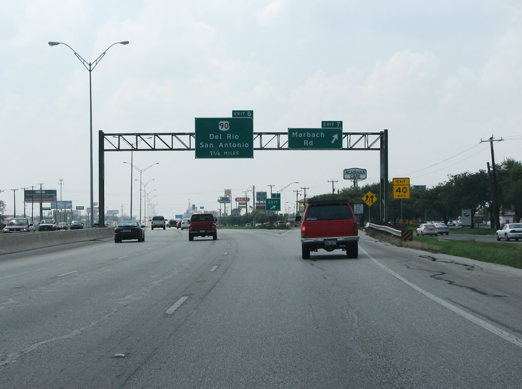
| Exit 7 follows from IH 410 south for Marbach Road, an old road that connected San Antonio to German settlements well to the west. Marbach runs through Lackland Terrace, a huge subdivision built to house GIs and civilian employees after World War 2. Originally a community in its own right, it was annexed by San Antonio in 1972. 08/31/08 |
|
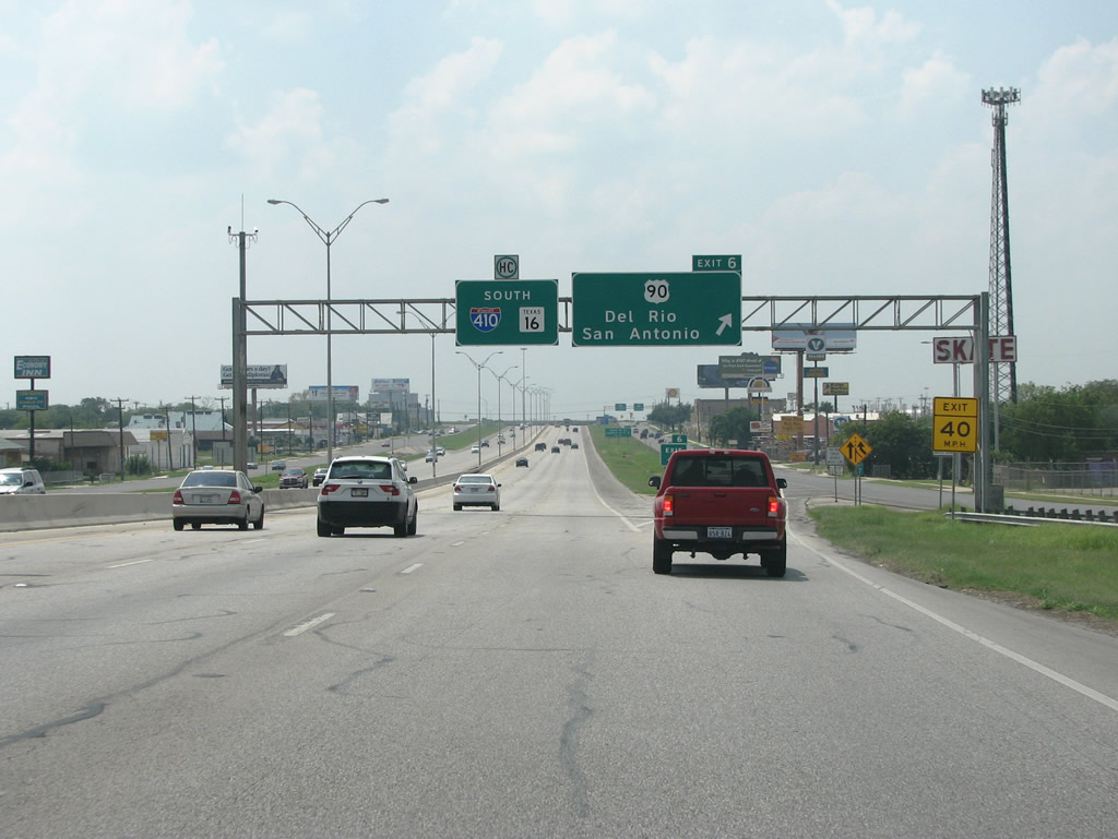
| IH 410 southbound meets U.S. 90 at a cloverleaf interchange on the west side of San Antonio. En route to Del Rio, U.S. 90 ventures west into the Chihuahuan Desert and towards the West Texas Mountains. 08/31/08 |
Page Updated 07-08-2019.

 South
South