
The MoPac is so named because the freeway overlays the MoPac Railroad. Brandon Kraft writes:
For a good amount of the length of the freeway, the Missouri-Pacific rail line is laid between the main lanes of the freeway on the medians. The freeway was known for having the MoPac lines with it so thus the name stuck.
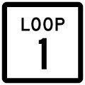
Texas State Loop 1 / State Highway 1 Guides
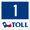
The tolled extension of Loop 1 opened on November 1, 2007, extending the state highway north from FM 734 (Parmer Lane) to the new Toll 45 N freeway, west of Interstate 35 and east of U.S. 183 / Toll 183A.
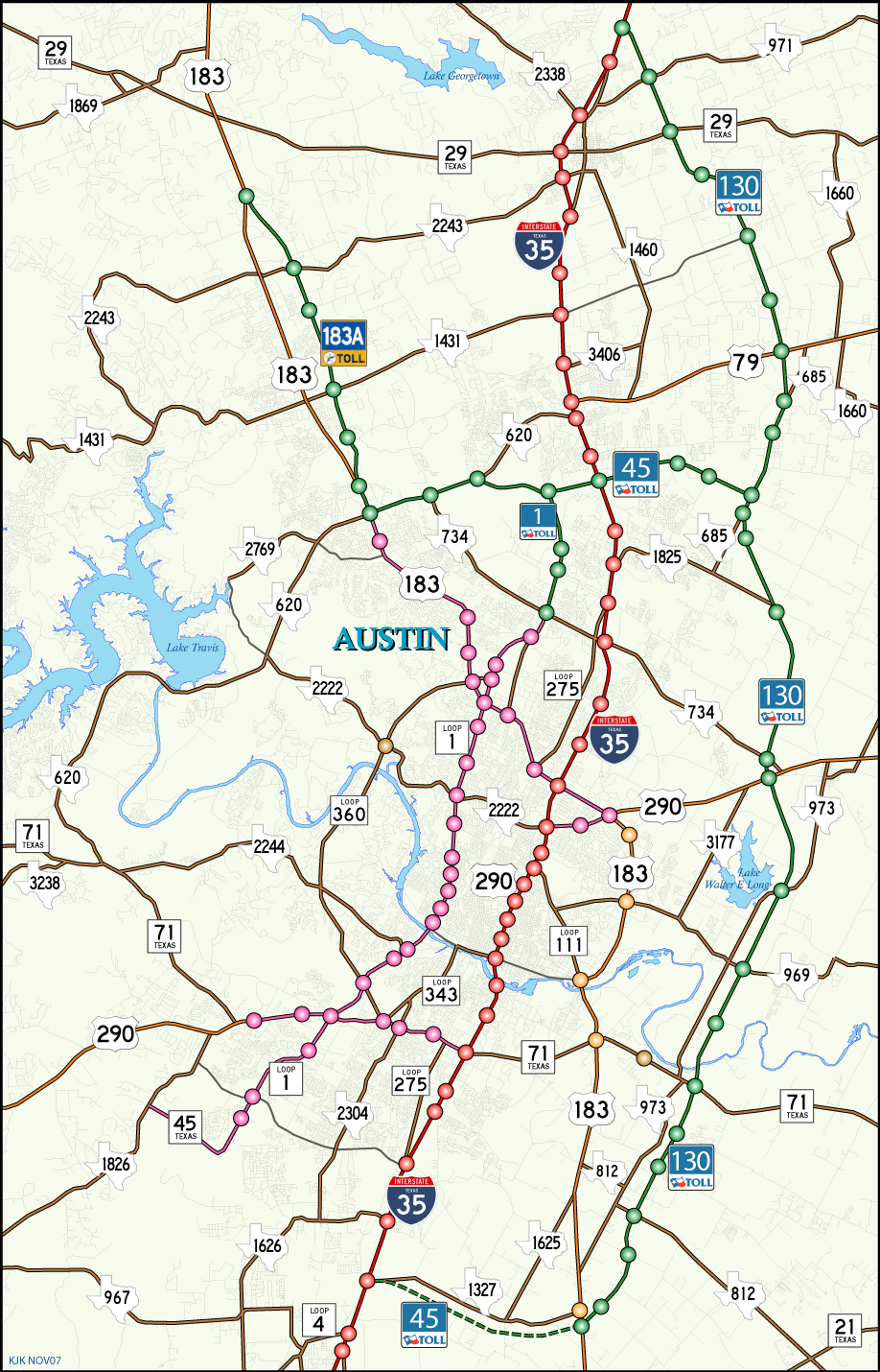
Loop 1 / Toll 1 travels along the MoPac Expressway from SH 45 SE, a future limited access parkway, north to SH 45 N.

Westward view of the MoPac Expressway bridges across the Colorado River. The lower span is a pedestrian bridge. Photo taken in April of 2000.
 | Cesar Chavez Street (West 1st Street) ends at a semi-directional T interchange with Loop 1 (MoPac Expressway) and Lake Austin Boulevard. 09/29/07 |
 | Cesar Chavez Street partitions into ramps for Loop 1 north, Loop 1 south and Lake Austin Boulevard west. Both ramps pass over West 5th Street and a Union Pacific Railroad. 09/29/07 |
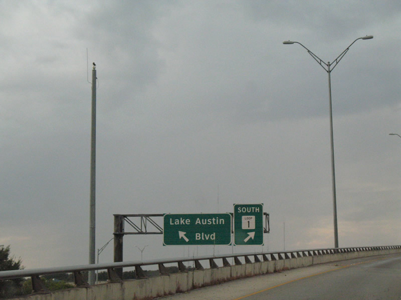 | Overheads at the Cesar Chavez Street ramp split for Loop 1 south across the Townlake Bridge and Lake Austin Boulevard, which continues West 6th Street to the Tarrytown neighborhood and Lake Austin. 09/29/07 |
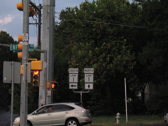 | Newfield Lane represents the east side frontage road of the MoPac Expressway within the vicinity of Enfield Road. Ramps connect Loop 1 with Enfield Road via Newfield Lane north and Winsted Lane south. 09/29/07 |
 | Newfield Lane splits with a northbound on-ramp to Loop 1 beyond Enfield Road. Construction in 2016 added sound walls along the east side of the MoPac, separating the freeway from the adjacent Enfield neighborhood. 09/29/07 |
Photo Credits:
09/29/07 by AARoads
Page Updated 01-25-2018.