Loop 289 constitutes a full beltway within the city of Lubbock. The 26.09 mile freeway provides both a bypass for U.S. 62, 82 and 84 and also a commuter route for Texas Tech University.
|
| The first exit on Loop 289 west of IH 27 is with University Avenue. Lubbock is home to Texas Tech University, and the city's economy largely depends on its almost 30,000 students. University runs northward to the main entrance of TTU. 08/26/07 |
|
| Looking west after University Avenue. Through here, Loop 289 is a busy six lane freeway lined with every manner of shopping and dining choices. Lubbock is a regional center and consumers come from all of the surrounding counties and even New Mexico to shop here. 08/26/07 |
|
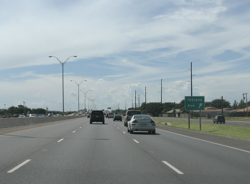
| Loop 289 westbound at Indiana Avenue. Indiana is another main north/south road through the city. Many of Lubbock's north/south streets were named for old industrial cities in the Midwest, streets have names like Gary, Flint and Detroit. Many cities in the Texas Panhandle and West Texas also have streets named for rust belt and Midwest cities, due to those being the birthplaces of the first settlers. 08/26/07 |
|
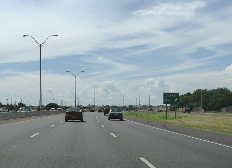
| The next exit westbound is Quaker Avenue. Quaker is another major north/south arterial in town, and was named for early settlers. The first white settlement in what is now Lubbock County took place in 1879, when a group of Quakers started a farming colony. Their early experiments with farming, here on the south plains, would provide the impetus for more settlers to follow. 08/26/07 |
|
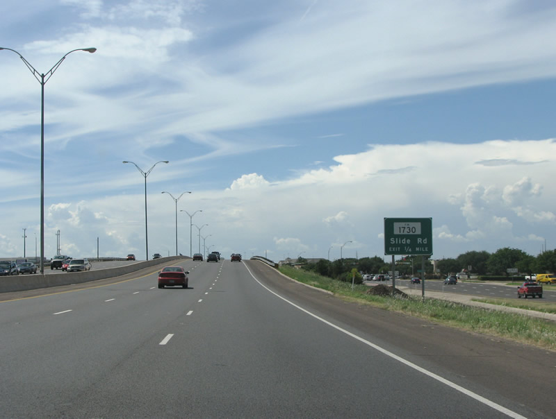
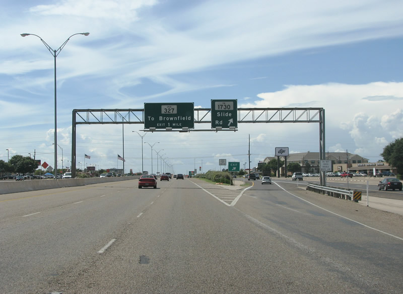
| The freeway's right of way widens here, with frontage roads of three lanes in each direction as well. The first numbered route after IH 27 is FM 1730, locally known as Slide Road. 08/26/07 |
|
| Loop 289 westbound at Slide Road on the south side of town. This exit has all of the largest retailers and chain restaurants in Lubbock, as well as the regional mall. Slide Road runs south to the old community of Slide. It was so named because a survey determined that most residents were residing on land that was not theirs, and when a new survey was conducted, all of the settlers "slid" to their new plots. 08/26/07 |
|
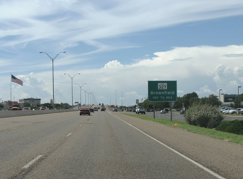
| One half mile ahead of the wye interchange with Spur 327 west on Loop 289 north. 08/26/07 |
|
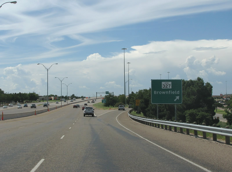
| Loop 289 westbound at Spur 327. This 2.13 mile spur connects with US 62/82 to the west and provides a shortcut to points south. Formerly an at-grade road with a wide right of way and free-flowing exits at each end, the state highway was upgraded to a full freeway. 08/26/07 |
|
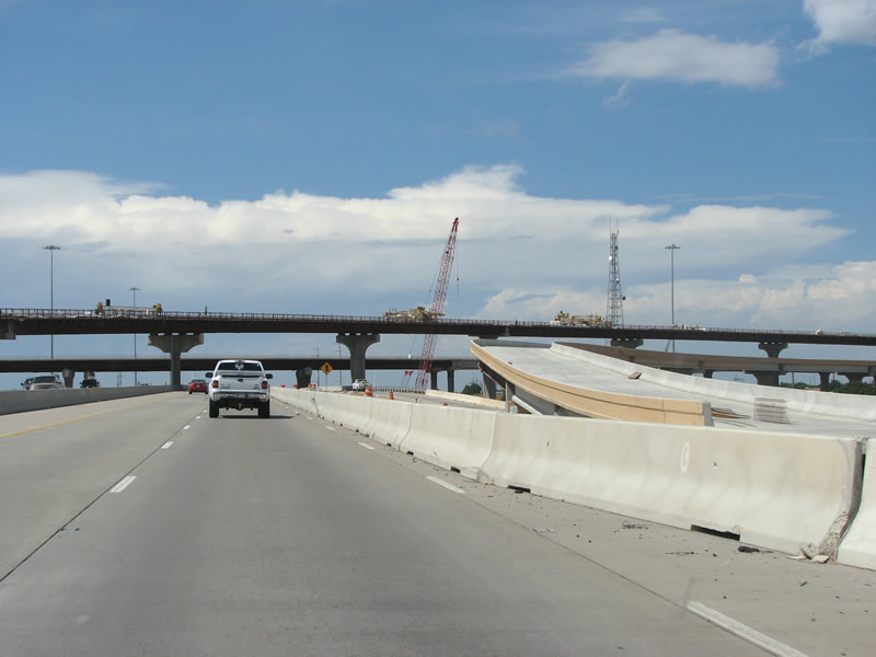
| Continuing north toward US 62/82, work underway in 2007 upgraded this southwestern section of Loop 289 with more lanes and a new concrete pavement. 08/26/07 |
|
| High mast lighting is present as the loop curves towards the north. The next exit was well under construction at US 62/82, which is was converted to a freeway. The Marsha Sharp freeway provided a new route through the west side of Lubbock to serve both Downtown, Texas Tech University, and new home construction on the outskirts of the city. 08/26/07 |
|
| Another look at the stack construction at the new freeway, and a Loop 289 reassurance marker. 08/26/07 |
|
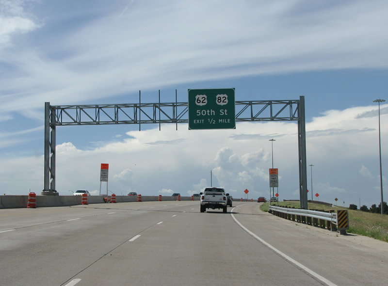
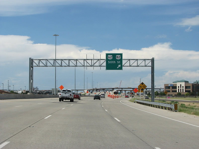
| This view looks at what is now the exit for just U.S. 62/82 west and 50th Street. Before the flyover ramps opened, traffic exiting to the US highway route used the frontage road system for both directions. The new stack added free flowing movements from Loop 289 north to U.S. 62 & 82 east and from the Marsha Sharp Freeway west to Loop 289 south. Traffic headed south on US 62/82 from here is encouraged to use Spur 327. 08/26/07 |
|
| Opened in 2008, the four level interchange connects the Marsha Sharp Freeway with the preexisting loop. The $256 million freeway project was first proposed in the mid 1960s, and the ball got rolling in 1993 with public meetings. Finally, actual construction began 13 years later. 08/26/07 |
|
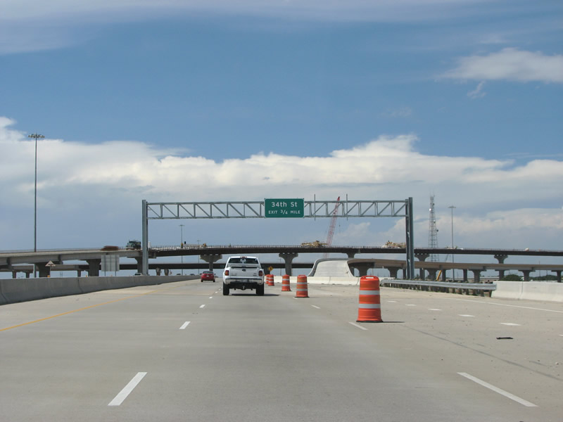
| With Lubbock on a grid system, as the freeway turns north it begins to encounter numbered east/west roads. 34th Street is an important east/west arterial for the city, hosting much of the higher-end shopping options nearby. The 2007-reconstructed pavement ends here, with SL 289 reverting to its early 70s construction design. 08/26/07 |
|
| An old button copy sign preceded the succeeding northbound interchange with SH 114. SH 114 is a major state highway in Texas, running between Irving in the DFW metroplex, and the New Mexico state line. SH 114 crosses the 26 mile Loop 289 twice, once on the far northeastern side of town. 08/26/07 |
|
| Loop 289 northbound at SH 114. The fairly busy exchange here was a cloverleaf. It was reconfigured into a diamond interchange by 2012. 08/26/07 |
|
| The former loop ramp from SL 289 north to SH 114 west. The state highway continues to Levelland, a large farming and bedroom community located 24 miles to the west. 08/26/07 |
Page Updated 01-20-2008.