|
| The Lloyd Ruby Overpass is actually two structures, which were built one block a part above Broadway and Hollday Streets through Wichita Falls. Ruby (1928-2009) was a famous race car driver from Wichita Falls. Wichita Falls City Council passed a resolution on December 27, 2005 to name the Central Freeway overpasses after Lloyd due to the recognition he brought to the city from the 1960s onward.1 TxDOT subsequently approved the name and a dedication ceremony took place on September 23, 2006.2 09/06/09 |
|
| While there are no off-ramps from the elevated viaducts above Broad Street, the first exit beyond them is marked here. The Central Freeway between U.S. 82 and IH 44 was completed in May 2002. 09/06/09 |
|
| The 10-block long viaduct system connects with a flyover leading east to 6th Street and Downtown Wichita Falls and the west end of IH 44. The Multi Purpose Events Center (MPEC) is nearby. 09/06/09 |
|
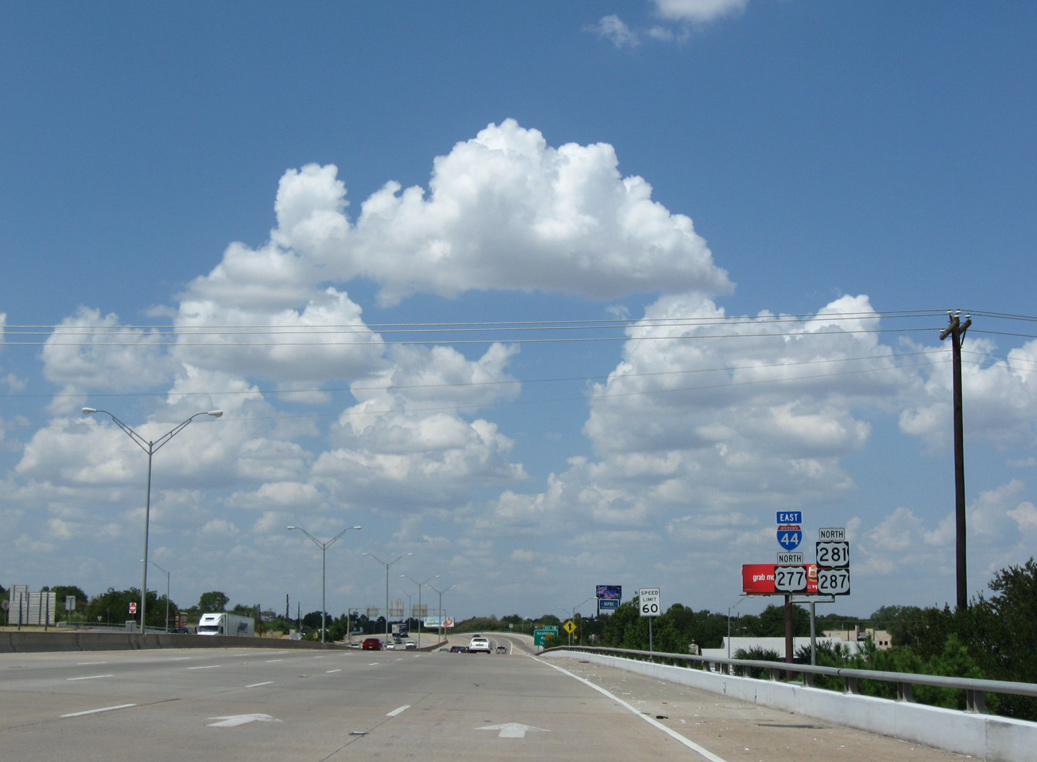
| U.S. 277-281-287 combine with IH 44 eastbound from 8th Street and U.S. 277 Business (Seymour Highway) northward from central Wichita Falls. 09/06/09 |
|
| An entrance ramp from 5th and Broad Street merges onto IH 44 east & U.S. 277-281-287 ahead of the Wichita River. 09/06/09 |
|
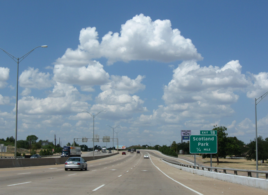
| Exit 1B departs from IH 44 and U.S. 287 just across the Wichita River for the freeway frontage road at Scotland Park. 09/06/09 |
|
| Exit 1B lowers ahead of 1st and 3rd Streets east at Scotland Park into a residential street grid. 09/06/09 |
|
| IH 44 east and U.S. 277-281-287 north run between the Wichita River and Scotland Park to a diamond interchange (Exit 1C) at 8th Street. 09/06/09 |
|
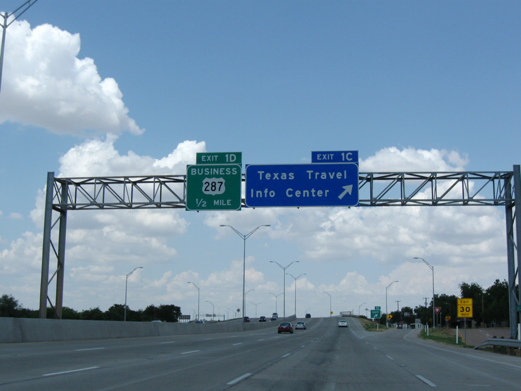
| The Texas Travel Information Center lines the west side of IH 44 at Exit 1C. IH 44 and U.S. 287 proceed north a half mile to U.S. 287 Business along Old Iowa Park. 09/06/09 |
|
| Confirming markers posted at the entrance ramp from North 8th Street in Wichita Falls. 09/06/09 |
|
| Maurine Street is a short road linking SL 11 with Sheppard Access Road on the west side of Wichita Falls. 05/24/08 |
|
| Spur 325 is a short freeway which runs east and north to Sheppard AFB, one of Wichita Falls' largest employers. 05/24/08 |
|
| U.S. 287 splits with IH 44 and U.S. 277-281 north on the west side of Wichita Falls along a freeway to Iowa Park. IH 44 remains northward to Burkburnett and Lawton, Oklahoma. 05/24/08 |
|
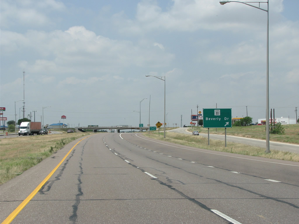
| A diamond interchange joins U.S. 287 with Loop 11 (Beverly Drive) to the immediate west of IH 44 and Spur 325. Loop 11 was originally planed to go all the way around Wichita Falls but instead only travels 3.69 miles along the city's west side. 05/24/08 |
|
| Beverly Drive runs south to U.S. 277 Business (Seymour Highway) and north to Airport Drive. SL 11 follows Airport Drive east to IH 44 and FM 890. 05/24/08 |
|
| The next exit along U.S. 287 northbound is for City View Drive. 05/24/08 |
|
| City View Drive represents the western extent of Wichita Falls' urbanized area. It also marks the site of the area's Harley Davidson store. 05/24/08 |
|
| Transitioning to rural areas, U.S. 287 advances one mile west from City View Drive to a diamond interchange with Wellington Lane. 05/24/08 |
|
| U.S. 287 northbound at Wellington Lane. Wellington Lane runs south to U.S. 287 Business (Old Iowa Park Road) and eventually to U.S. 277. Northward the local road connects with FM 3492 (Reilly Road). 05/24/08 |
|
| U.S. 287 crosses the East Fork of Pond Creek ahead of the succeeding diamond interchange with Huntington Lane. 05/24/08 |
|
| U.S. 287 northbound at Huntington Lane, which is a rural road leading south to the town of Pleasant Valley and north through ranches and oil fields to FM 3492. 05/24/08 |
|
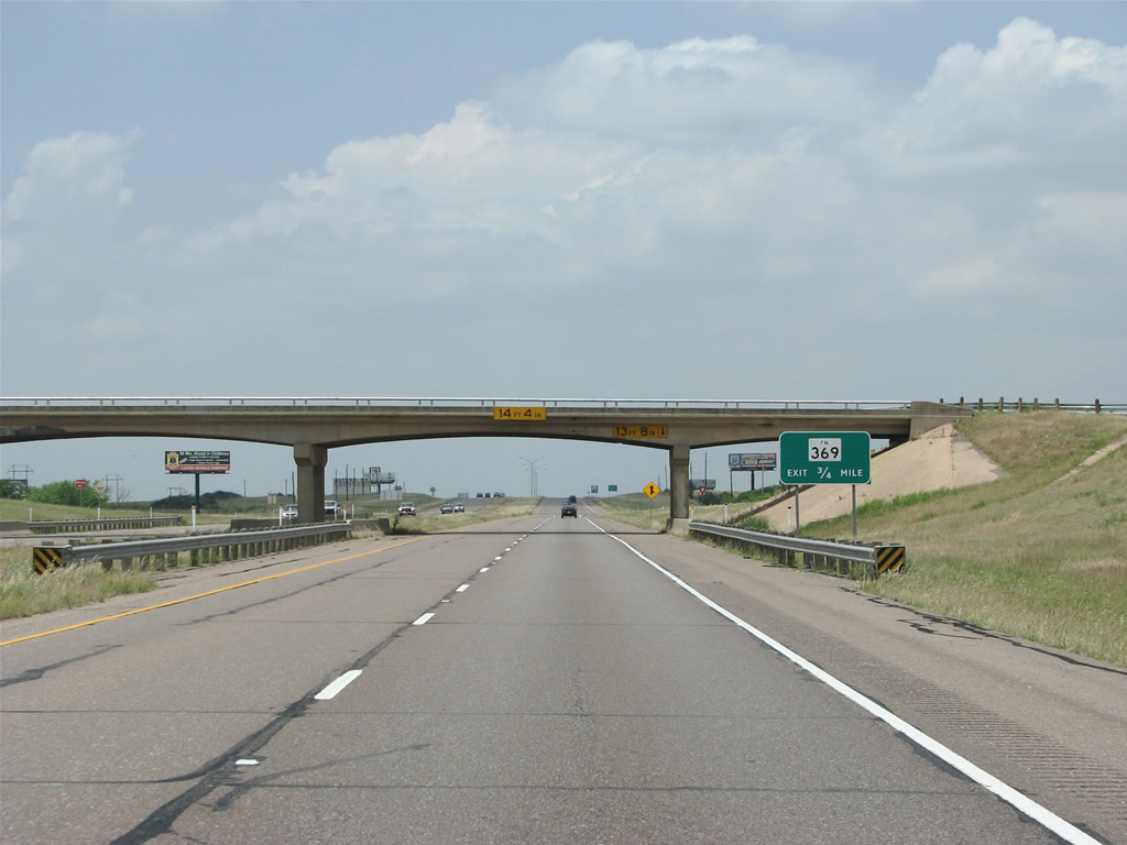
| FM 369 straddles western reaches of the Wichita Falls city line across U.S. 287 at the ensuing exit northbound. Forming a belt route around the city, FM 369 extends northward to SH 240 at Burkburnett. 05/24/08 |
|
| Entering the diamond interchange with FM 369 on U.S. 287 northbound. The 22.65 mile course of FM 369 heads south through the community of Pleasant Valley and east by Lake Wichita to SH 79 and SL 473. 05/24/08 |
|
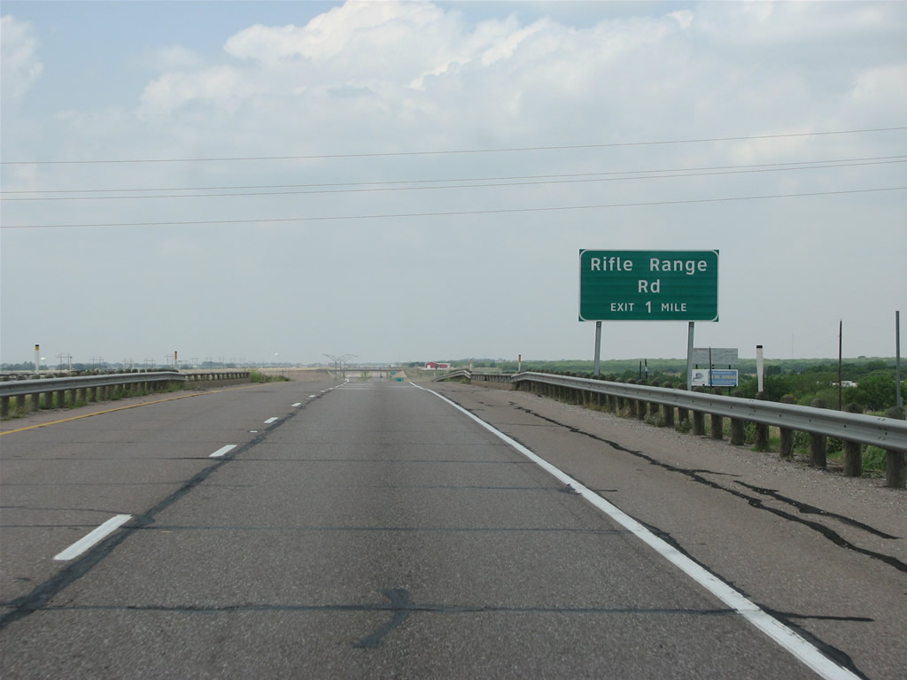
| Progressing toward the city of Iowa Park, U.S. 287 nears Rifle Range Road. The freeway though here was built in the early 1960s and has exits at almost every crossroad for nearly ten miles. 05/24/08 |
|
| U.S. 287 northbound meets Rifle Range Road west of the Middle Fork of Pond Creek and north of Wichita Valley Airport (F14). 05/24/08 |
|
| Peterson Road represents the next cross road and interchange along U.S. 287 northbound. 05/24/08 |
|
| The exit for Peterson Road was a later addition to the U.S. 287 freeway between Wichita Falls and Iowa Park. 05/24/08 |
|
| Crossing the West Fork of Pond Creek, U.S. 287 continues a half mile west to a diamond interchange with Bell Road in the city of Iowa Park. 05/24/08 |
|
| Iowa Park is a suburb of Wichita Falls with a population of under 6,500 people. 05/24/08 |
|
| U.S. 287 at Bell Road. Bell Road south of U.S. 287 Business (Highway Street) in Iowa Park is a part of FM 1814, a 2.22 mile spur south to FM 367 and ranch areas off the Wichita River. 05/24/08 |
|
| FM 368 runs south along Pacific Avenue into Iowa Park. The city was founded in 1888 when the Fort Worth and Denver Railroad hired a train to come from Iowa full of immigrants to seed the community. 05/24/08 |
|
| U.S. 287 reassurance marker posted between FM 368 and Johnson Road. 05/24/08 |
|
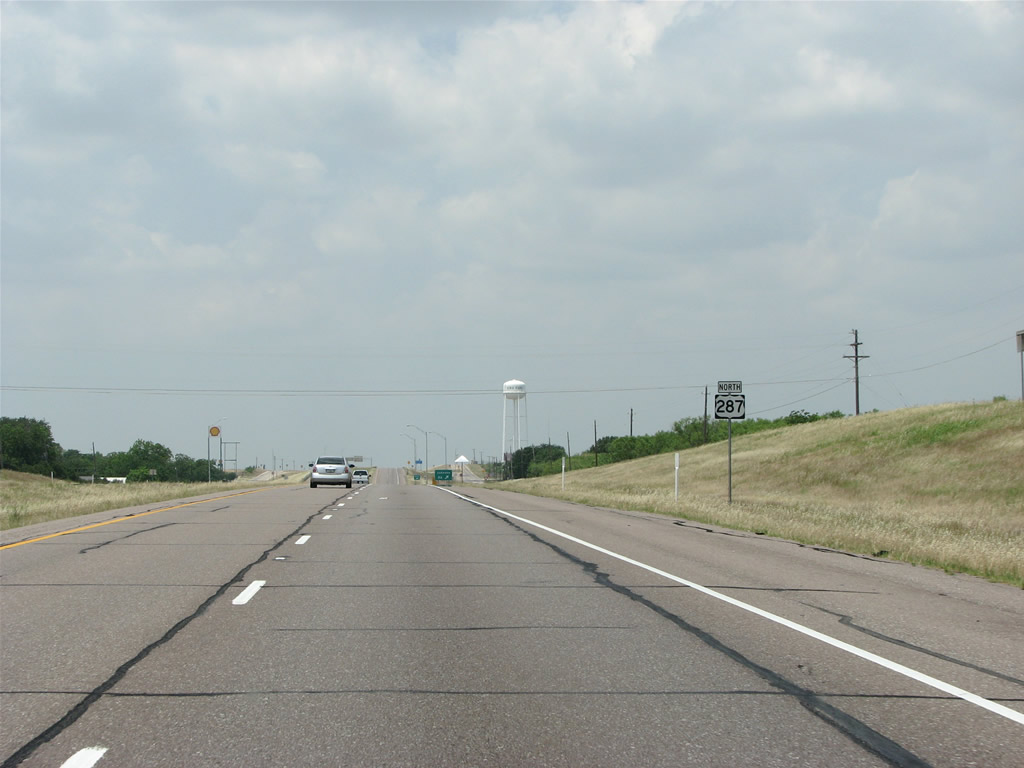
| U.S. 287 Business from Wichita Falls returns to U.S. 287 at Johnson Road, the last exit in Iowa Park. 05/24/08 |
|
| As the freeway leaves Iowa Park, the land opens up with wide views and oil derricks on each side of the road. 05/24/08 |
|
| Vernon, seat of Wilbarger County, sits about 40 miles distant from the Iowa Park city line. 05/24/08 |
|
| The ensuing exit beyond the Wichita County Rest Area along U.S. 287 northbound is for Harmony Road. Harmony Road stems north from the freeway between Lake Iowa Park and North Fork Buffalo Creek Reservoir. 05/24/08 |
|
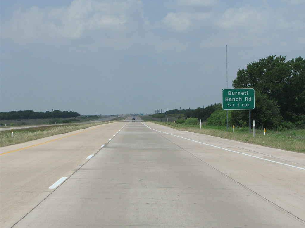
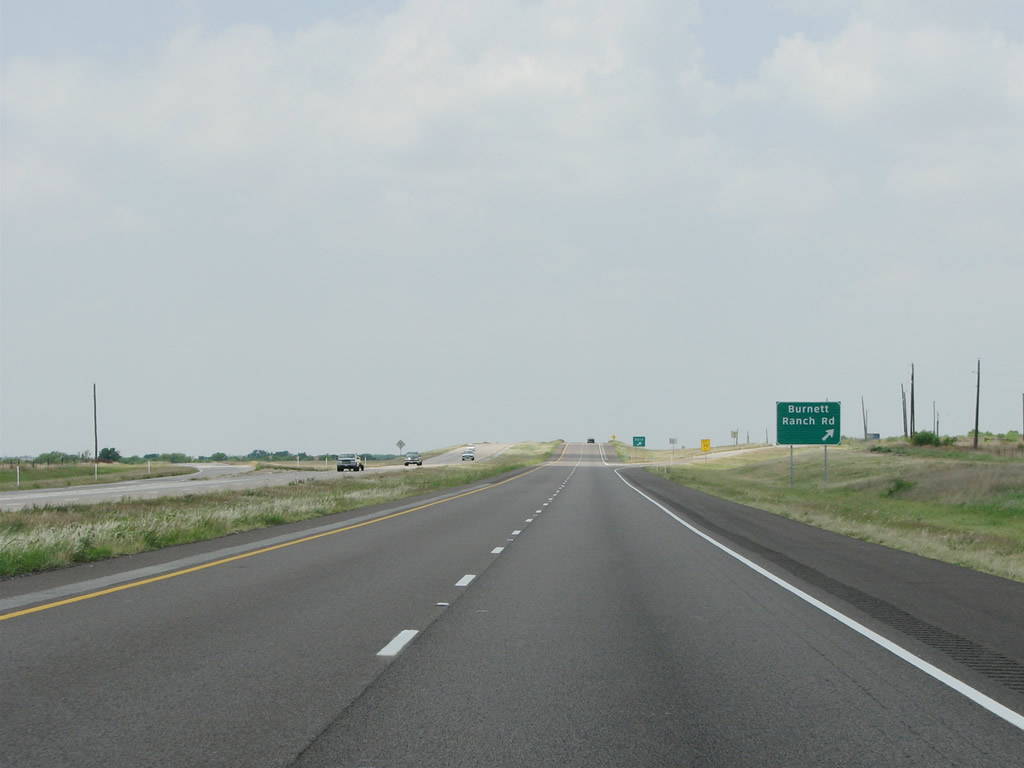
| The freeway shifts northward along a newer concrete portion ahead of the North Fork of Buffalo Creek and a diamond interchange with Burnett Ranch Road. 05/24/08 |
|
| The Burnett Ranch was organized in 1881 by British beef investors, oil was discovered there in 1921. 05/24/08 |
|
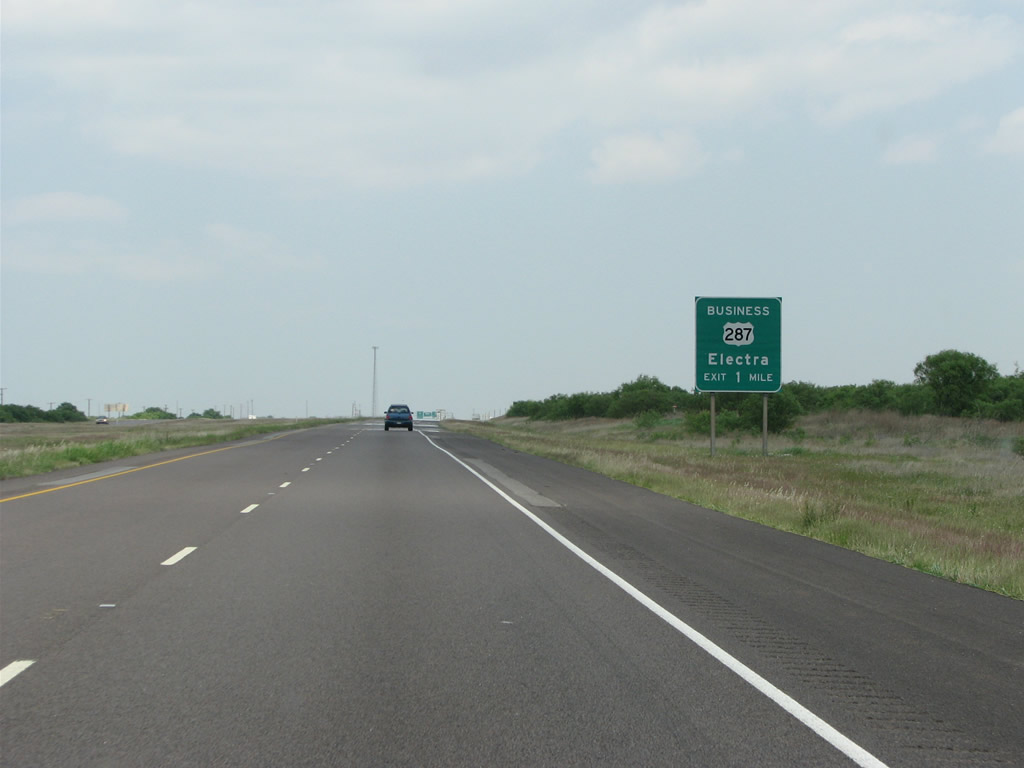
| Electra sits on the western side of Wichita County and has a Business loop following the old routing of U.S. 287. 05/24/08 |
|
| U.S. 287 partitions with U.S. 287 Business to bypass Electra. Business US 287H travels 8.42 miles west through the city center. In 1911, when area residents were drilling to find water, oil was instead discovered and a boom was on. 05/24/08 |
|
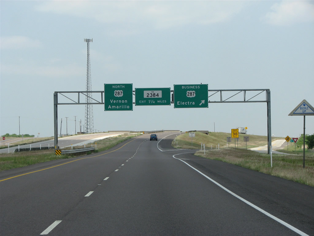
| The Electra bypass is paved with concrete and wildflowers line the side of the freeway. 05/24/08 |
|
| FM 2384 is a 10.52 mile long route north to FM 1739 and south to FM 367 outside Electra. 05/24/08 |
|
| FM 1739 travels 10.64 miles northeast from U.S. 287 Business (Front Avenue) in Electra to the community of Sunshine Hill and SH 240. 05/24/08 |
|
| SH 25 originates 59.50 miles to the south from U.S. 281 at Windthorst. The state highway heads west to Archer City and north through Electra. SH 25 extends beyond U.S. 287 to SH 240 at Haynesville, FM 370 and an abruptly end onto a dirt road. It was originally meant to continue into Oklahoma but a bridge across the Red River was never built. 05/24/08 |
|
| U.S. 287 northbound at the diamond interchange with SH 25 (Bailey Street) in Electra. The city was named for the daughter of a local rancher and businessman. 05/24/08 |
|
| U.S. 287 converges with the west end of U.S. 287 Business (Front Avenue) at the forthcoming exchange with County Line Road. County Line Road forms the western boundary of Wichita County and the Electra city limits. 05/24/08 |
|
| Spanning County Line Road, U.S. 287 enters Wilbarger County. The land was originally used for bison hunting, and the county was organized in 1881. 05/24/08 |
Page Updated 07-10-2019.


 North
North


 East
East