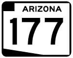
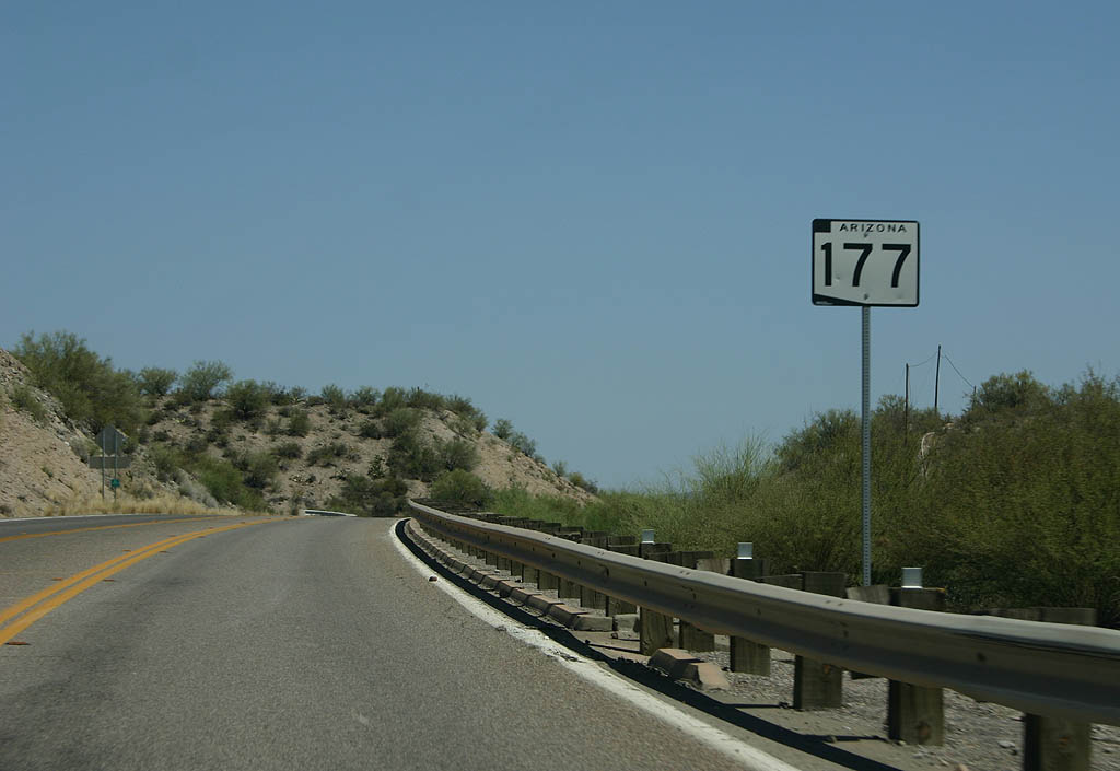
Arizona 177 begins at US 60 and Superior, and travels past the mining towns of Kearny and Hayden to end at Arizona 77 in Winkleman.
Arizona 177 was added to the state highway system in 1953, to serve mines along the corridor. Prior to this, the
road was a dirt road. The highway was fully paved by 1959.
Arizona 177 was designated the "Copper Country Scenic Route" in 2008.
|
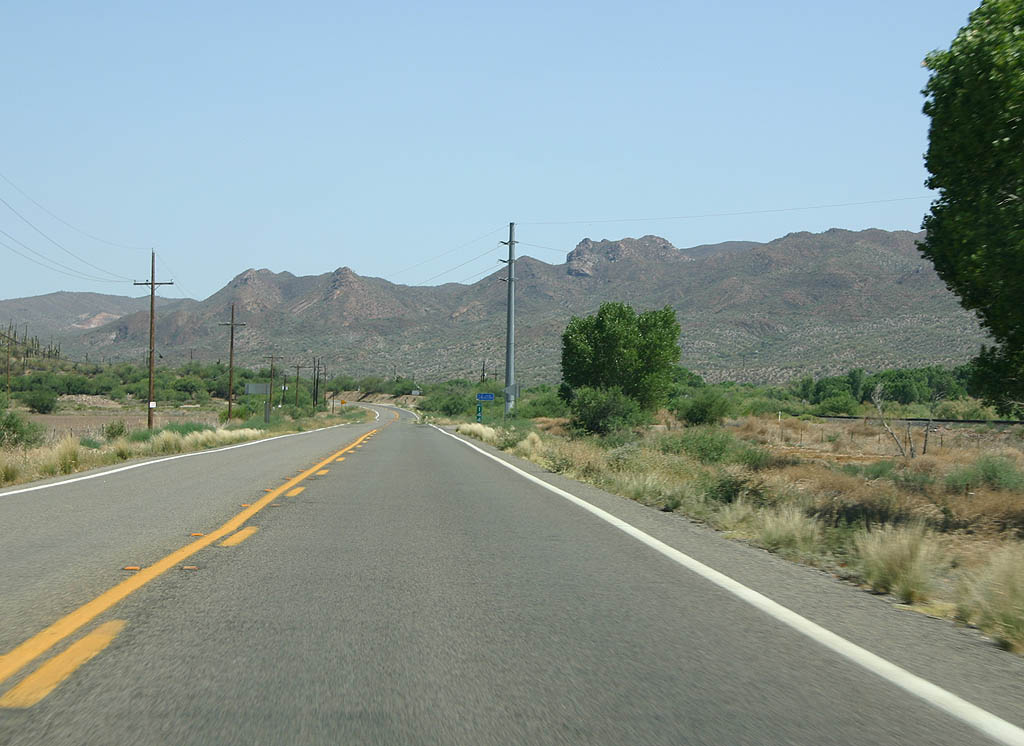
| SR 177 begins at the top of the off-ramp from US
60. 06/17/07 |
|
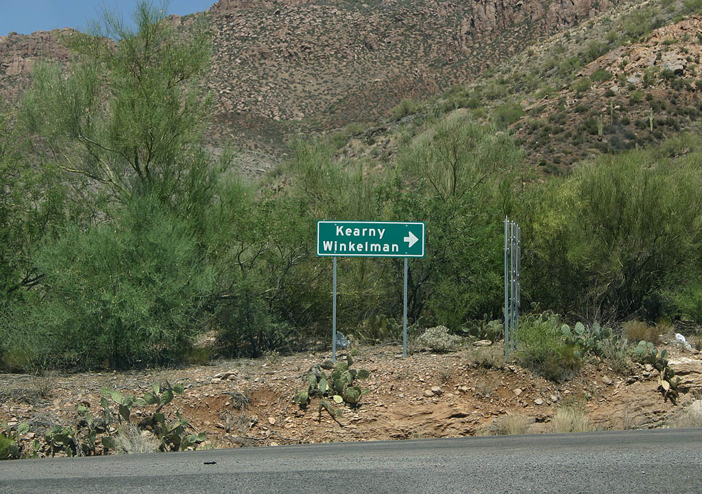
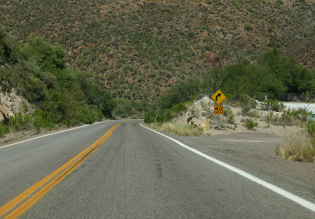
| This is the first shield along eastbound Arizona
177. In the background, a distance sign can be seen
for the two control cities, Kearny and Winkleman. 06/17/07 |
|
| SR 177 winds around the western edge of Apache
Leap, so named because when a expedition was sent to round
up Apaches in the 1870s, the Apaches decided to leap to
their deaths rather than be arrested. 06/17/07 |
|
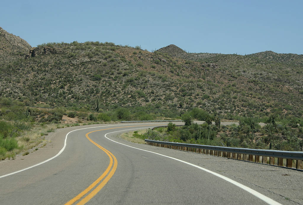
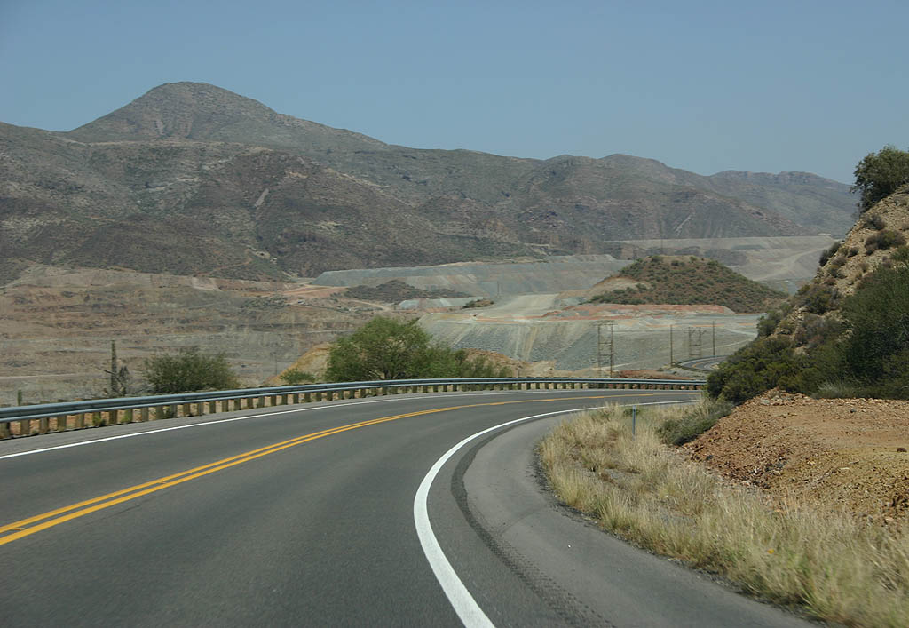
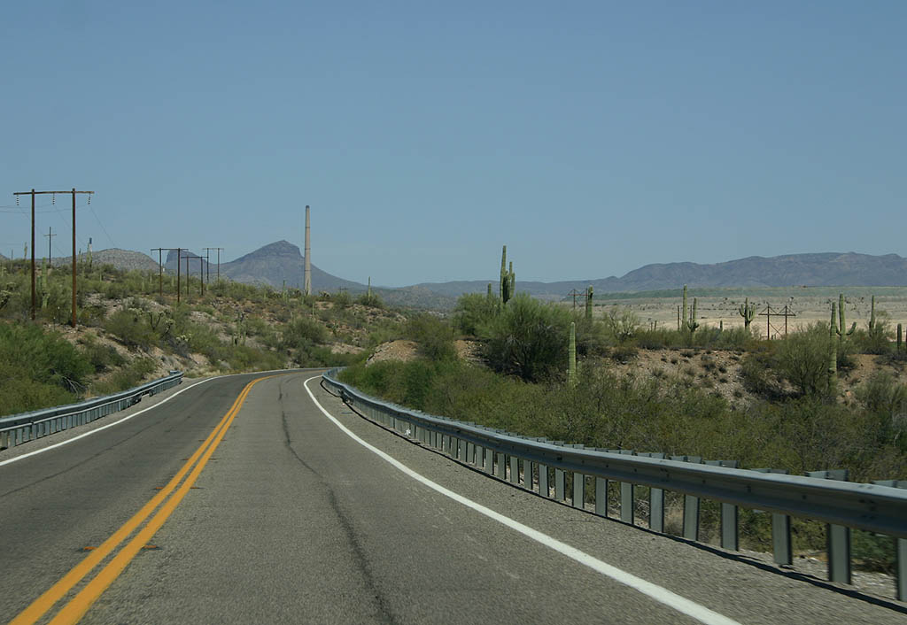
| SR 177 was realigned in 1972 to take it further
away from Apache Leap, and level the road out significantly. 06/17/07 |
|
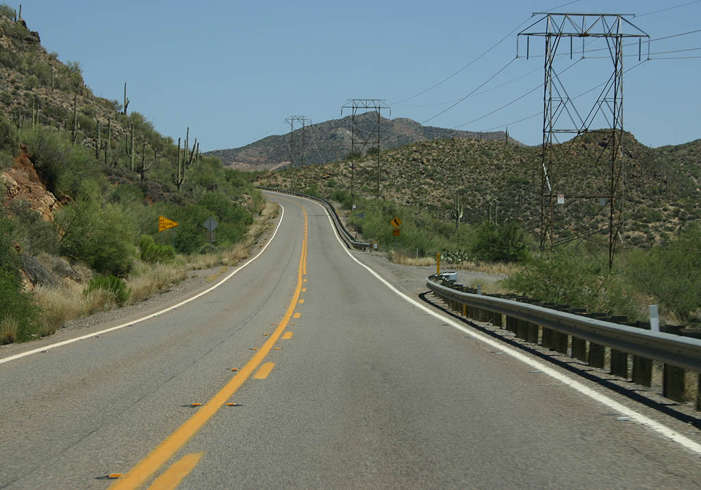
| SR 177 begins by travelling near Arnett Creek. 06/17/07 |
|
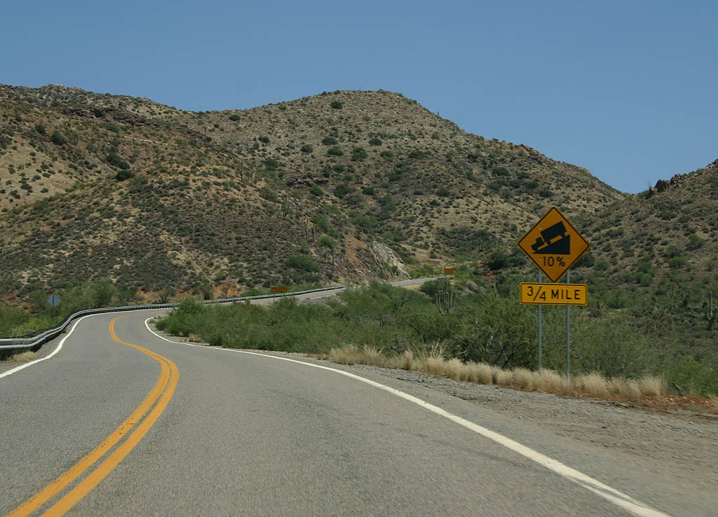
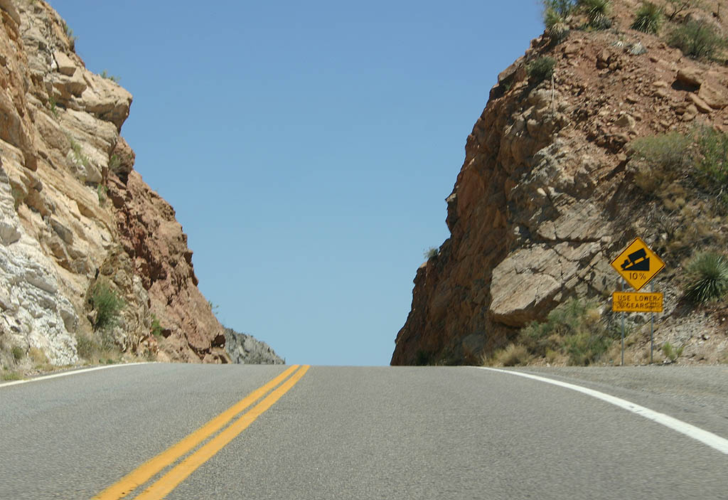
| The first major descent along SR 177 is a doozy,
dropping from the headwaters of Arnett Creek down into
Walnut Canyon. This is an advance warning of the upcoming
10% grade. 06/17/07 |
|
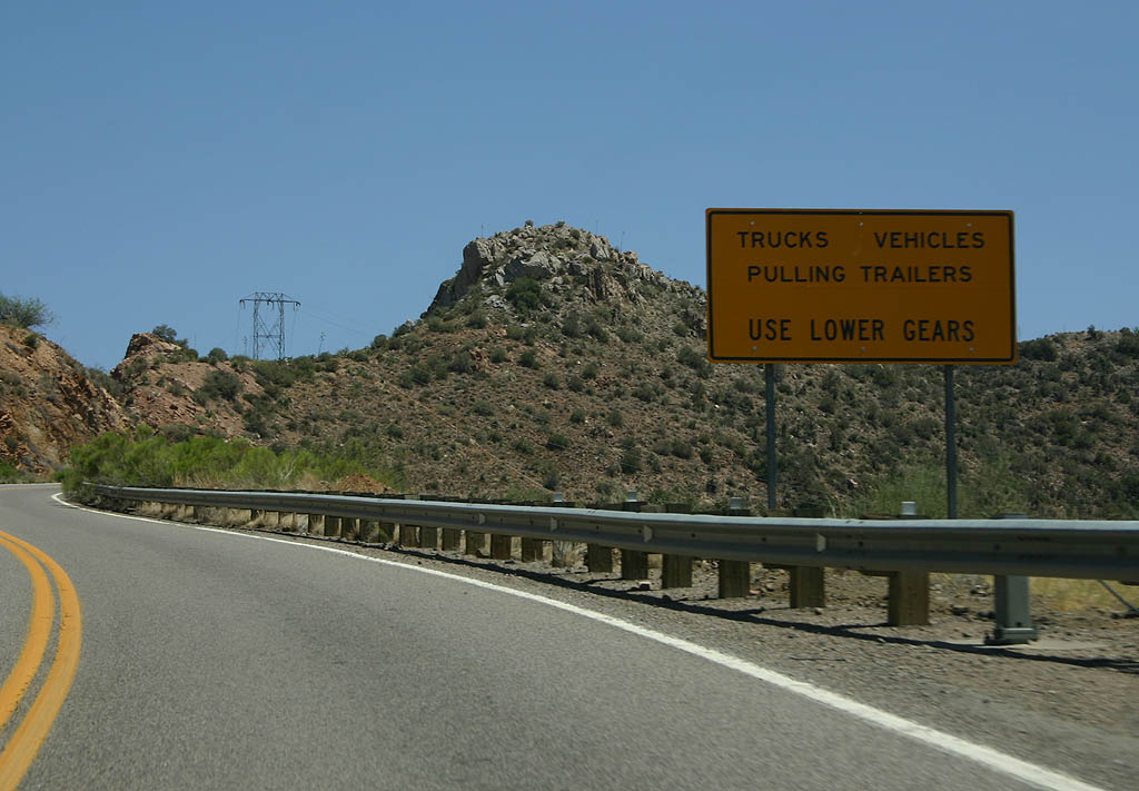
| Trucks and vehicles hauling trailers are advised to
stop and check brakes before descending on the first 10%
grade down. 06/17/07 |
|
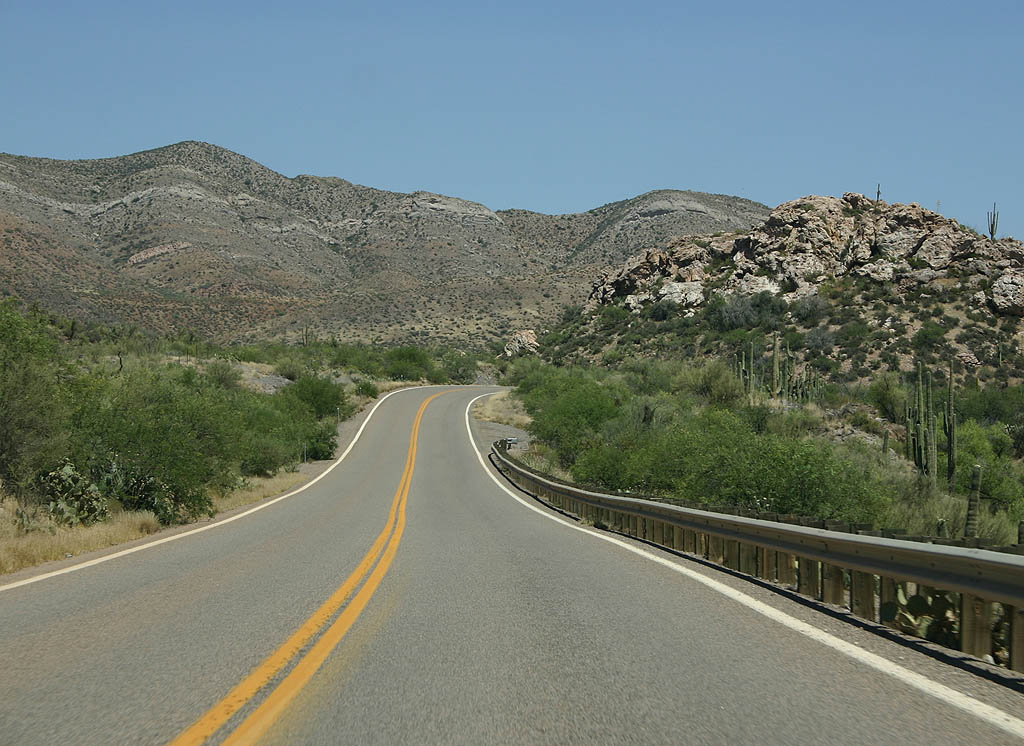
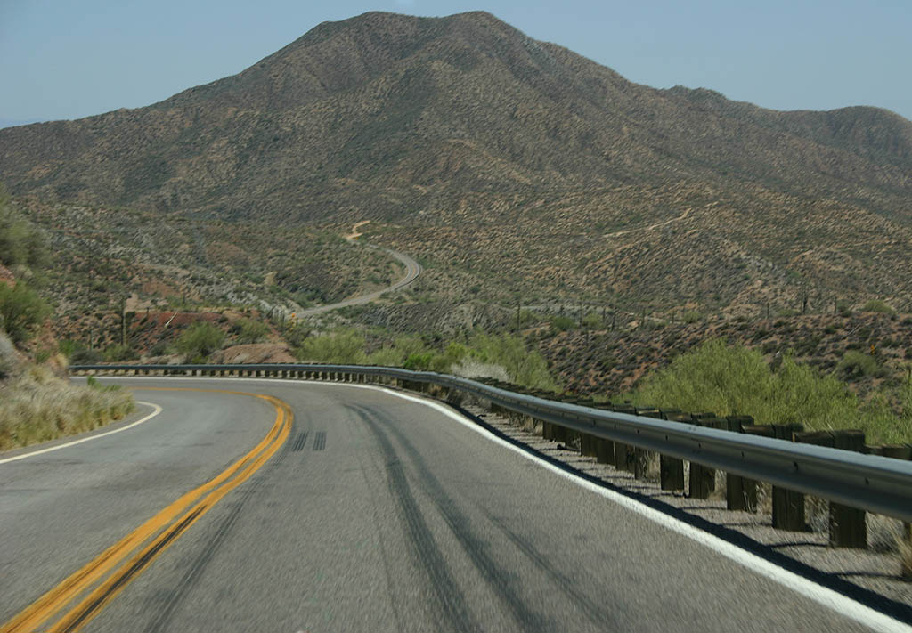
| Nothing like cresting a hill! This is a roadcut between
Arnett Creek and Walnut Canyon, with Lime Point to the
right (southwest) of us. 06/17/07 |
|
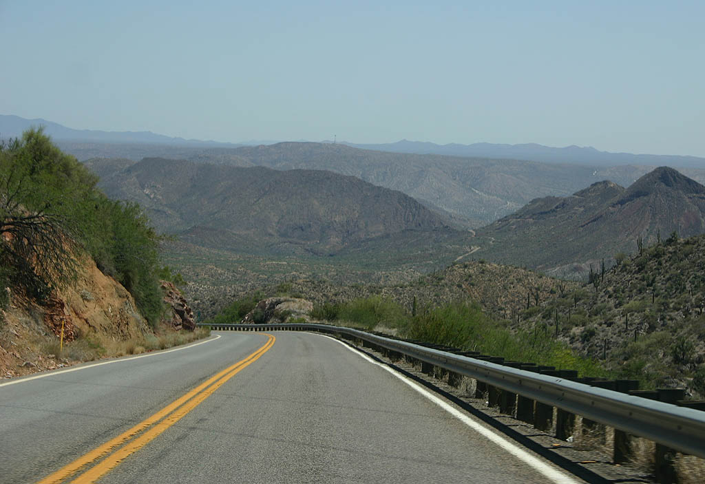
| It is a wild ride down to the bottom of Walnut Canyon. 06/17/07 |
|
| It's a very scenic and challenging drive down into Walnut Canyon. 06/17/07 |
|
| This curve, at the bottom of Walnut Canyon, passes Walnut
Spring. 06/17/07 |
|
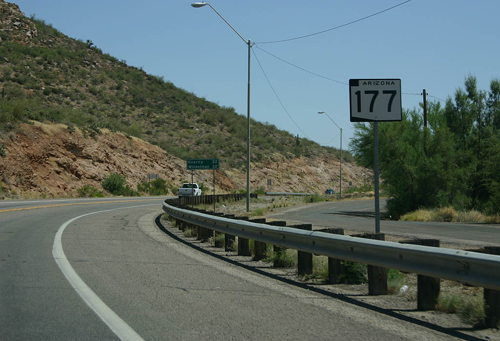
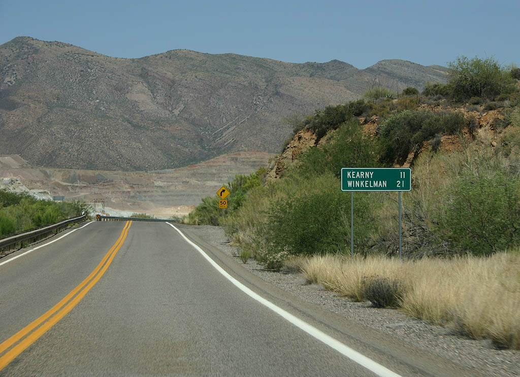
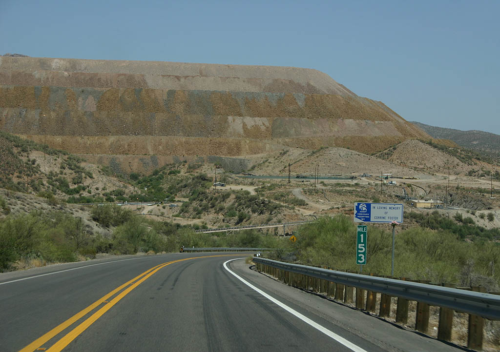
| Distance sign to Kearny (11 miles) and Winkleman (21
miles). In the background are the first signs of the open-pit
Ray mine. 06/17/07 |
|
| Mining operations at the Ray site began in 1884. The
mine moved in fits and ebbs until 1953, when a massive
expansion program led to open-pit mining and the discontinuation
of underground mining. 06/17/07 |
|
| SR 177 passes next to Corral Creek enroute to Kearny. 06/17/07 |
|
| The scale of the Asarco Ray mine is quite impressive
as one drives by the edge of it. 06/17/07 |
|
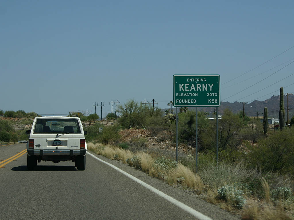
| SR 177 (before pavement) used to pass through the towns of Sonora and Ray, which catered to mining operations. As part of the expansion of the Asarco Ray mine, both towns were swallowed up by the mine, and a new town of Kearny was established (see next photo). 06/17/07 |
|
| SR 177 enters the town of Kearny here. Kearny is
a small mining town, established in 1958 with the expansion
of the Asarco (Kennecott) mine. There is a small commercial
strip to serve the local residents. 06/17/07 |
|
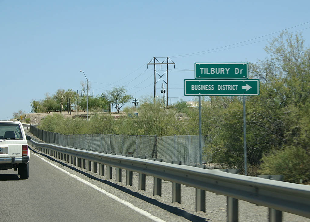
| Kearny is a company town, built by Kennecott to serve miners and their families. The majority of the residents of the town still work for Asarco, who now operates the Ray mining complex. SR 177 never passed through downtown Kearny, but the main street is located parallel to SR 177. Tilbury Drive is the main street through Kearny, leading into the residential streets. 06/17/07 |
|
| Now past Kearny, SR 177 sticks close to the Gila
River and the Union Pacific Railroad tracks. 06/17/07 |
|
| Across the Gila River are the Tortilla Mountains. 06/17/07 |
|
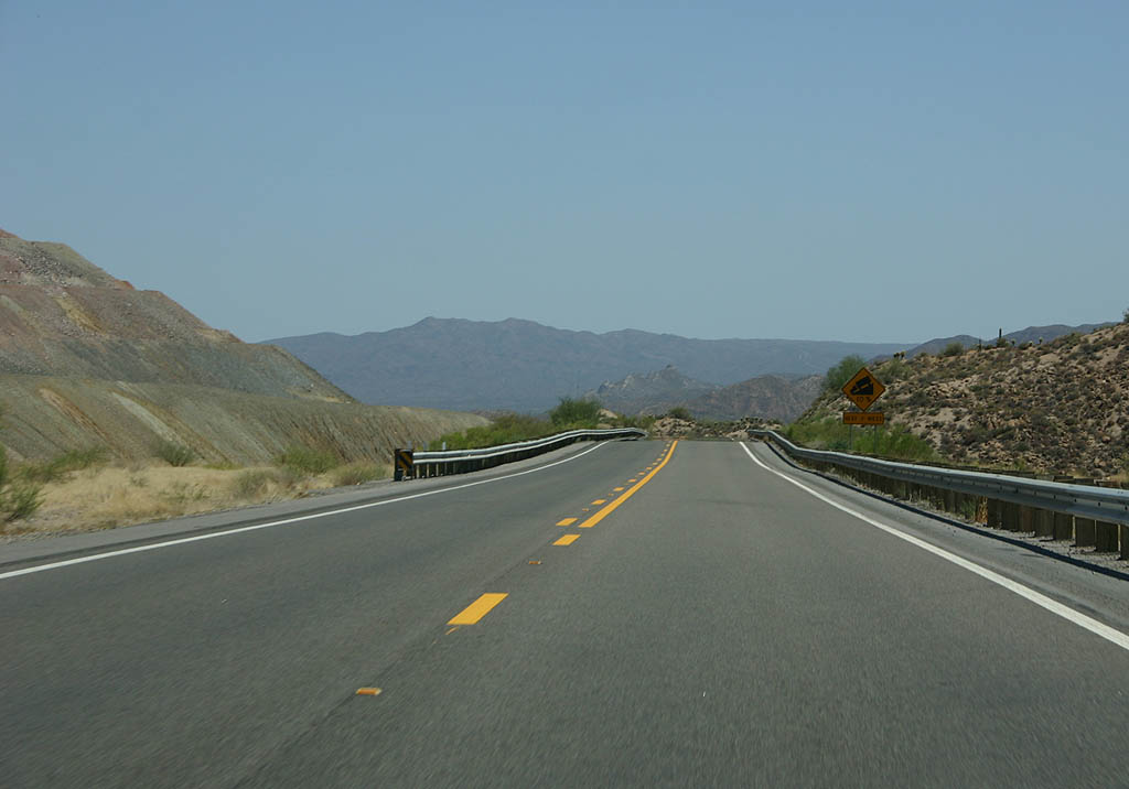
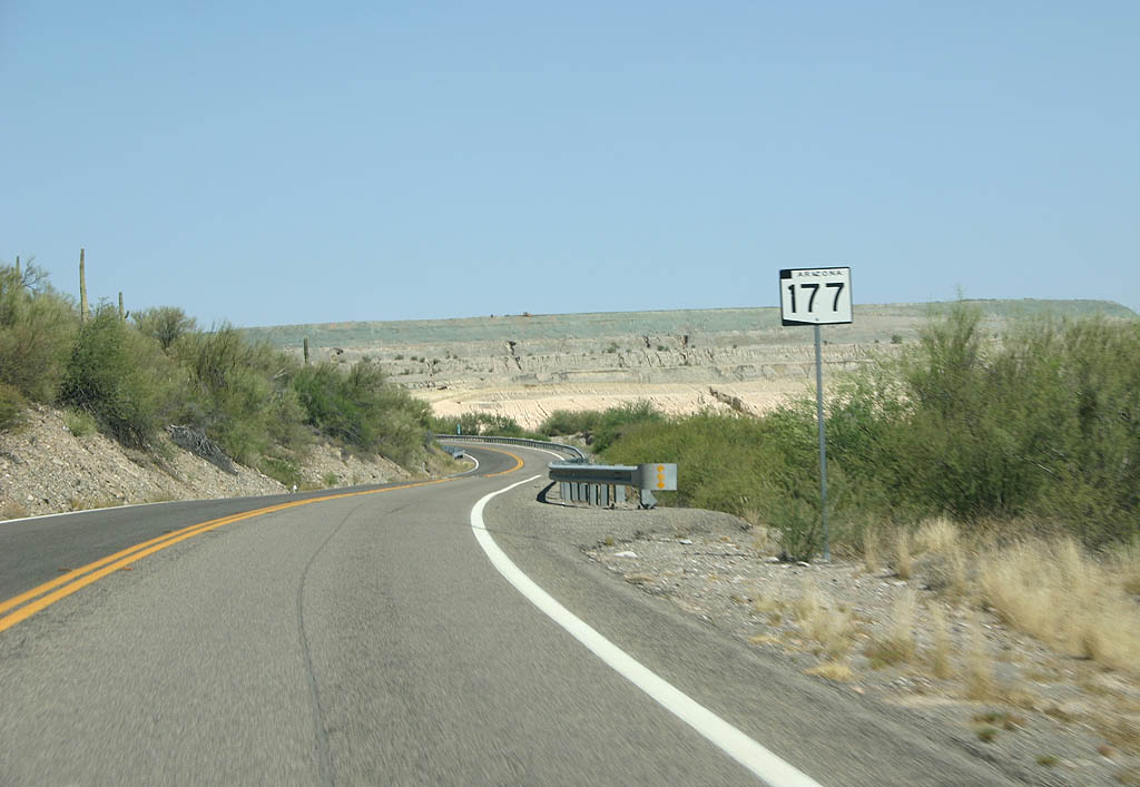
| This is the final reassurance marker along SR 177.
Notice that none of the shield have cardinal direction
signs attached to them. 06/17/07 |
|
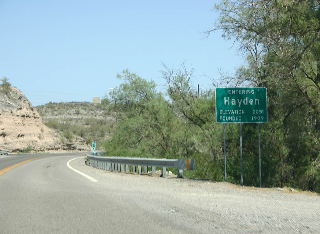
| SR 177 enters the town of Hayden here. Hayden is
a mining town, named for one of the senior members of
the company who founded the town. Today, the mine is owned
by Asarco and operated in conjunction with the Ray mine. 06/17/07 |
|
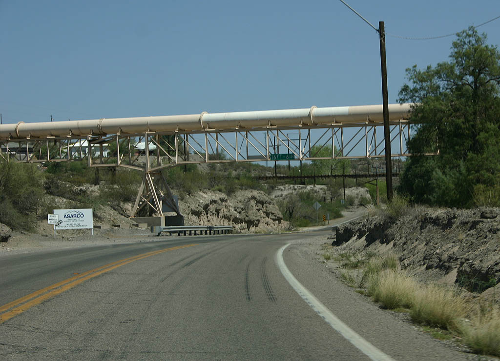
| The pipeline above SR 177 connects the smelter
and the railway line. 06/17/07 |
|
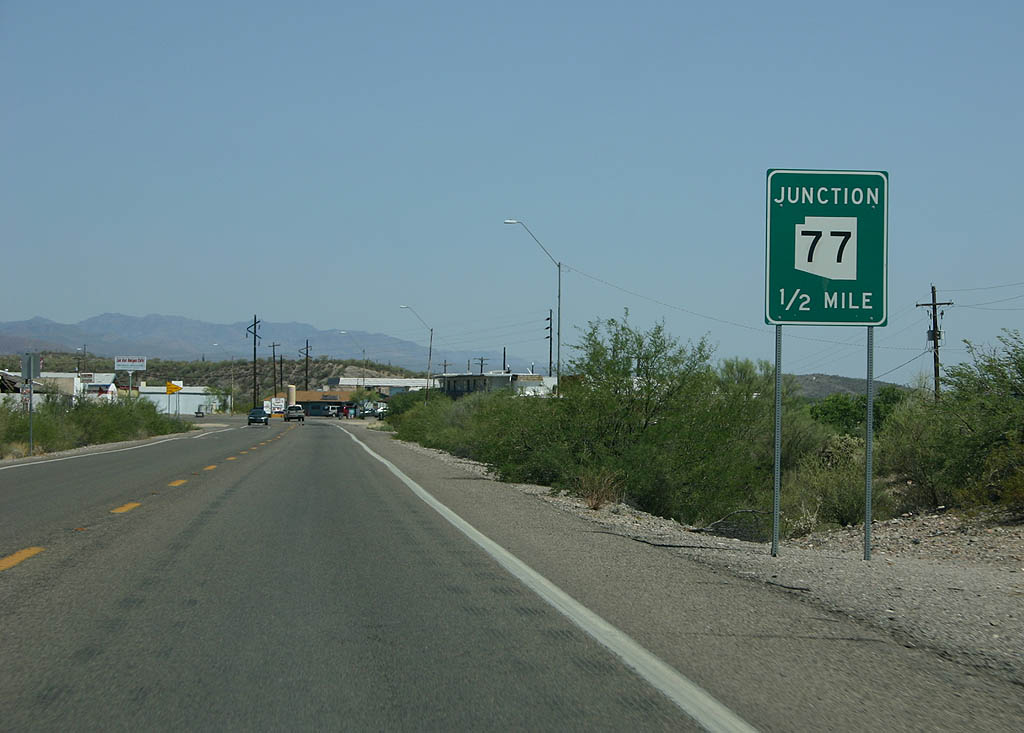
| Advance signage for SR 77, 1/2 mile. 06/17/07 |
|
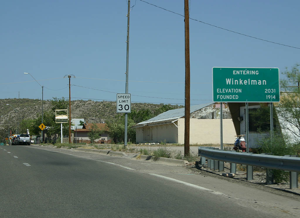
| The last town SR 177 enters is Winkleman. Winkleman
is a town at the junction of the Gila and San Pedro Rivers,
named for an early settler. 06/17/07 |
|
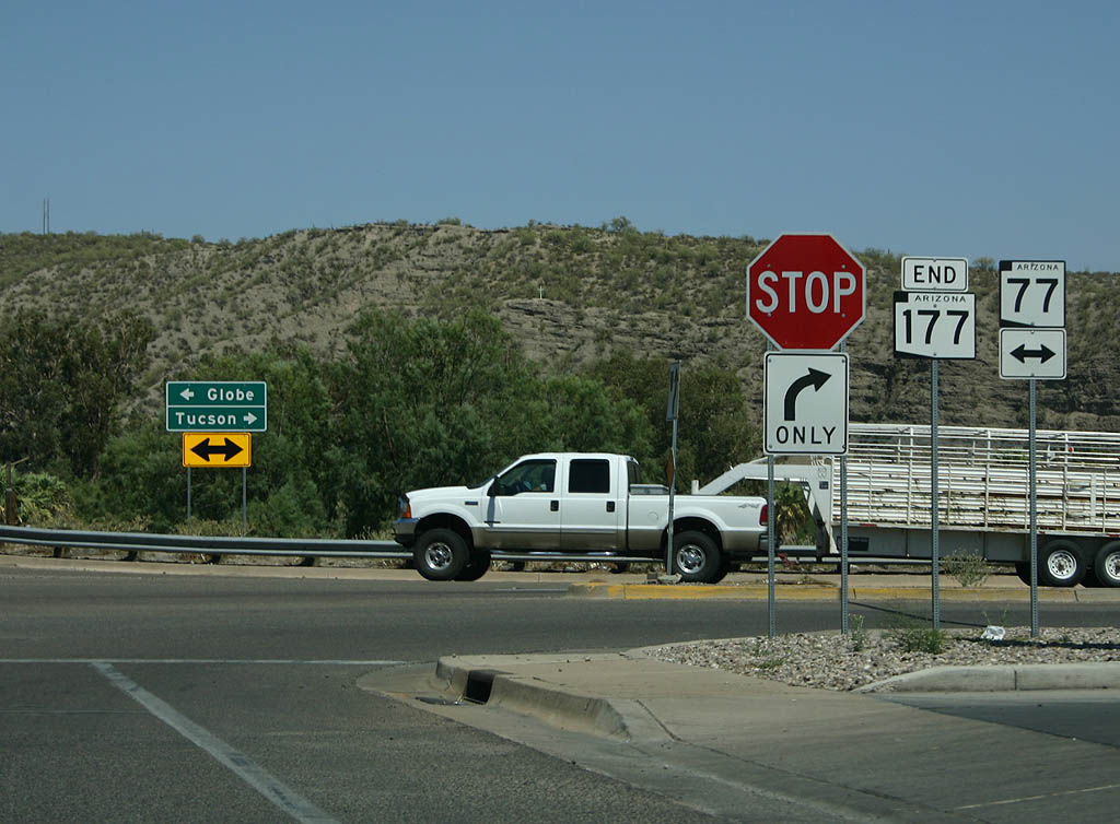
| SR 177 ends in the town of Winkleman at Arizona
77. Travellers heading to Tucson turn right on Arizona
77, while travellers heading to Globe can turn left on
SR 77. 06/17/07 |
Page Updated 06-18-2007.