|
| C-470 commences south from U.S. 6 and Johnson Road in the city of Golden. 04/22/17 |
|
| Exit 1 provides access to Interstate 70 west toward Grand Junction from C-470 east. There is no ramp for I-70 east. 04/22/17 |
|
| A left entrance ramp joins C-470 east from I-70 west within the directional interchange at Exit 1. 04/22/17 |
|
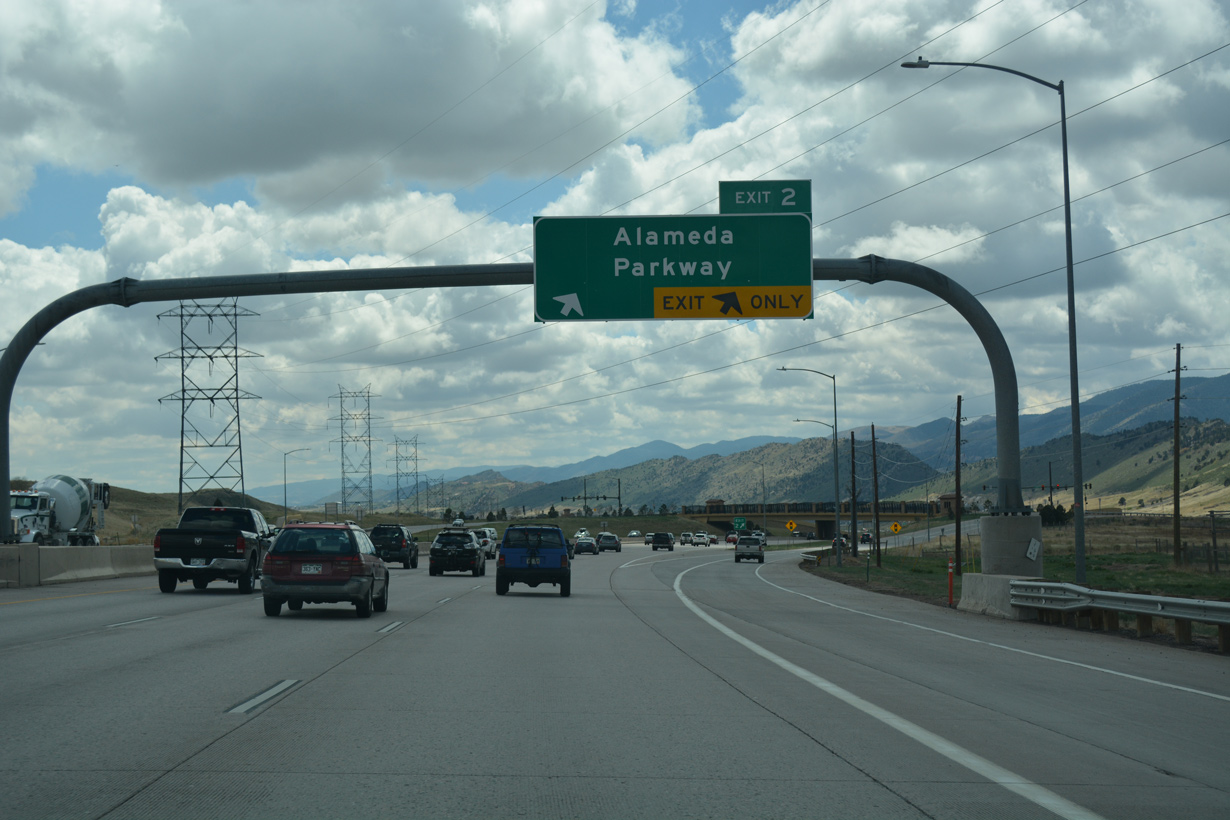
| C-470 passes through the Lakewood city limits south to the diamond interchange (Exit 2) with Alameda Parkway. 04/22/17 |
|
| C-470 runs between Thunder Valley Park and William Frederick Hayden Park at Green Mountain. 04/22/17 |
|
| The trail system for William Frederick Hayden Park spans C-470 (Centennial Parkway) a quarter mile ahead of Exit 3. 04/22/17 |
|
| Dinosaur Ridge rises just west of C-470. The Dinosaur Ridge Visitor Center lies off of Alameda Parkway nearby. 04/22/17 |
|
| Opened in 2008, the exchange with Alameda Parkway serves suburban areas of west Lakewood south of Green Mountain. 04/22/17 |
|
| Advancing south through Rooney Gulch, C-470 passes by Bandimere Speedway into the town of Morrison. 04/22/17 |
|
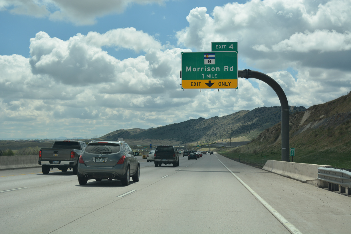
| SH 8 (Morrison Road) traverses the distant rock cut across the Hog Back from the succeeding exit along C-470 south. The freeway along U.S. 285 follows from south Morrison in 4.5 miles. 04/22/17 |
|
| SH 8 constitutes a four lane boulevard east from Exit 4 along the north side of Bear Creek Lake Park to SH 391 (Kipling Parkway). SH 8 concludes at SH 121 (Wadsworth Boulevard) in Lakewood. 04/22/17 |
|
| The third lane along C-470 east drops at the single point urban interchange (Exit 4) with SH 8 (Morrison Road). 04/22/17 |
|
| SH 8 was designated in place of U.S. 285 when the route shifted south onto a new freeway in 1970. SH 8 takes Bear Creek Avenue through the Morrison business district before turning south at SH 74. SH 74 connects with Red Rocks Park, while SH 8 ties into U.S. 285 at Turkey Creek Canyon. 04/22/17 |
|
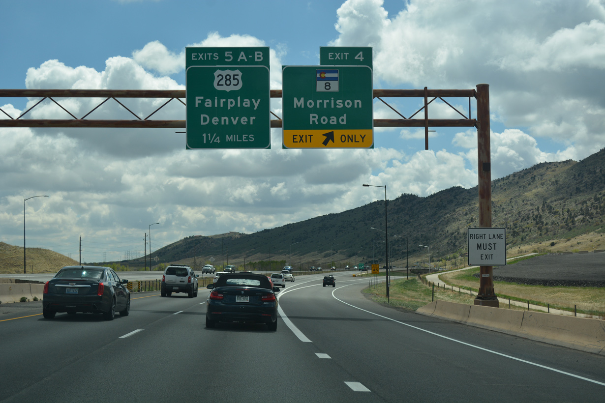
| An auxiliary lane opens along C-470 eastbound from Morrison Road to Exit 5A for U.S. 285 south. U.S. 285 travels along a scenic route southwest from the Denver metropolitan area to the Park County town of Fairplay. 04/22/17 |
|
| Centennial Parkway curves southeast around Soda Lakes and Bear Creek Lake Park to the cloverleaf interchange (Exits 5A/B) with U.S. 285. Quincy Avenue ties into C-470 at the succeeding exit from the Friendly Hills community. 04/22/17 |
|
| U.S. 285 originates from University Hills in Denver along Hampden Avenue at I-25 and SH 30. Following Hampden Avenue, U.S. 285 runs west to Cherry Hill Village and Englewood, upgrading to a freeway from Sheridan to Lakewood and the entrance to Turkey Creek Canyon. 04/22/17 |
|
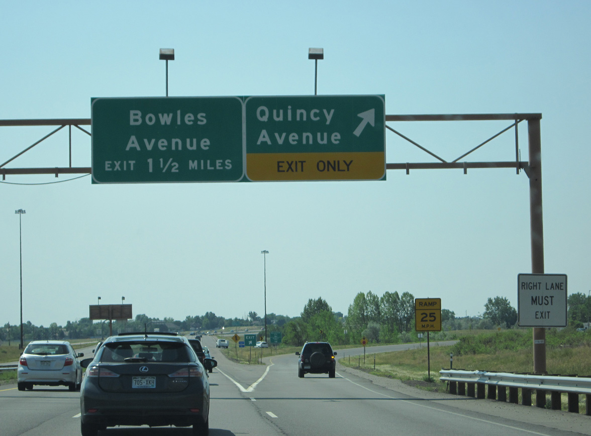
| A folded diamond interchange (Exit 6) joins C-470 with Quincy Avenue to the immediate south of U.S. 285. 07/04/12 |
|
| Exit 5B loops onto U.S. 285 east to Bear Valley and Harvey Park in southwest Denver. 07/04/12 |
|
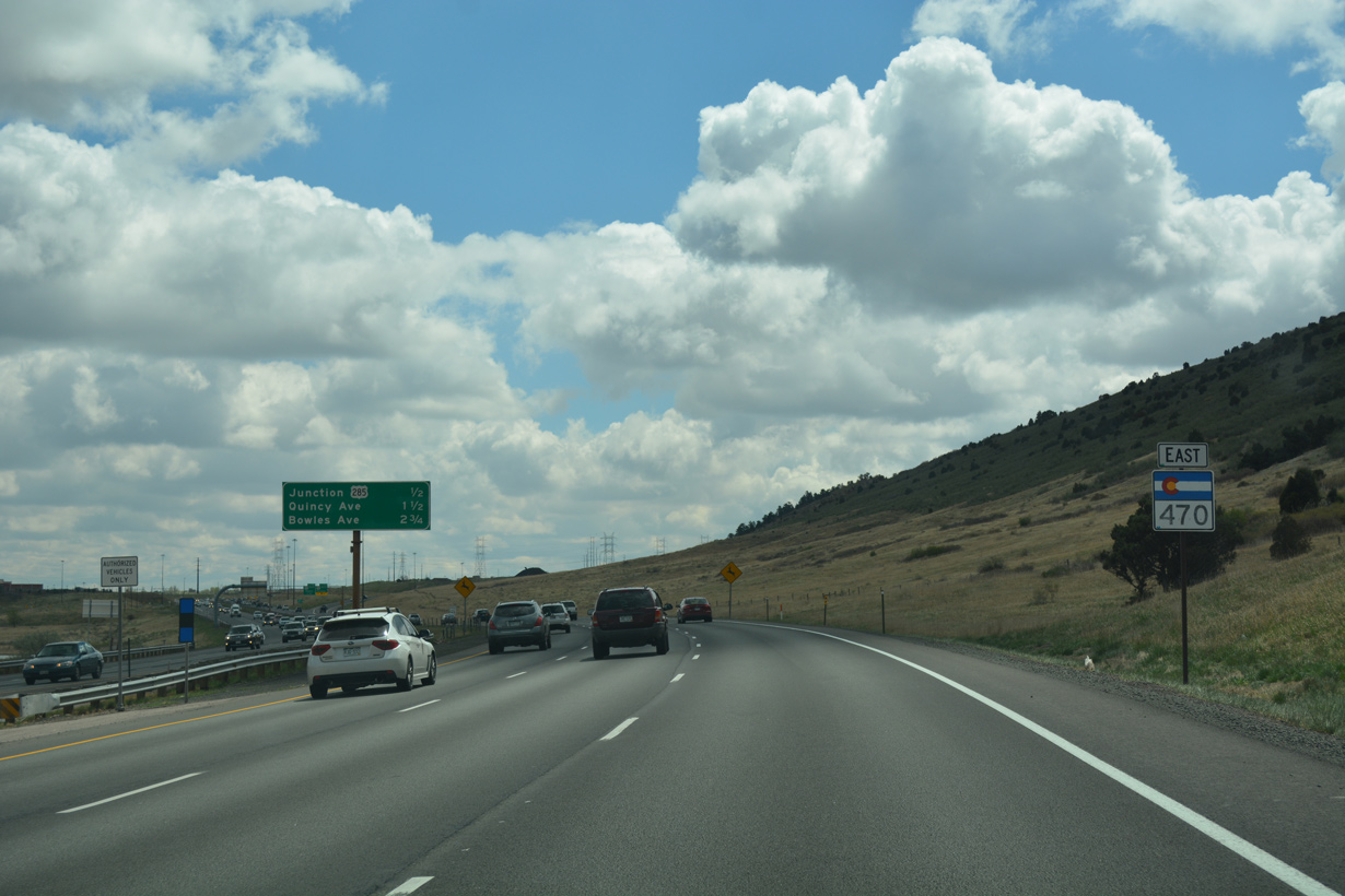
| C-470 remains just east of the Hog Back south 1.75 miles to Exit 7 for Bowles Avenue and four miles to Exit 10 for Ken Caryl Avenue. 07/04/12 |
|
| Quincy Avenue lines the west side of C-470 south to a roundabout with Belleview Avenue. 07/04/12 |
|
| Quincy Avenue spans C-470 just ahead of the loop ramp at Exit 6. The residential street parallels U.S. 285 east to Harriman Park. 07/04/12 |
|
| Belleview Avenue comprises a residential arterial east from the Bergen Reservoirs and Quincy Avenue to SH 121 (Wadsworth Boulevard). Belleview Avenue west ascends onto the Hog Back to the Willowbrook community and Red Rocks Country Club. 07/04/12 |
|
| C-470 curves west between the Bergen Reservoirs and Mountain West Business Center. 07/04/12 |
|
| Bowles Avenue meets C-470 at a diamond interchange (Exit 7) in one half mile. The ensuing exits serve the Ken Caryl Ranch community. 07/04/12 |
|
| Exit 7 parts ways with C-470 east for Bowles Avenue east to the West Meadows, Foothill Green and Powderhorn neighborhoods. 07/04/12 |
|
| The arterial extends east to Southwest Plaza mall, Bowles Crossing Shopping Center and the town of Columbine Valley. 07/04/12 |
|
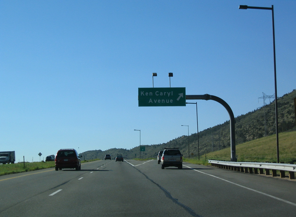
| C-470 passes through a swath of green space by Meadows Golf Club ahead of Exit 10 with Ken Caryl Avenue. 09/01/04 |
|
| Entering the diamond interchange (Exit 10) with Ken Caryl Avenue on C-470 east. The four to six lane arterial leads west to The Valley section of Ken Caryl Ranch and east to Ken Caryl Ranch Plains. 09/01/04 |
|
| Centennial Parkway arcs southeast alongside Deer Creek Golf Club and the Meadow Ranch community to Exit 12 with Kipling Parkway. 09/01/04 |
|
| Forthcoming Kipling Parkway travels north, parallel to Wadsworth Boulevard, from Ken Caryl Ranch and Stony Creek to Lakewood and Wheat Ridge. 09/01/04 |
|
| Exit 12 ties into the south end of a commercial strip along Kipling Parkway north to Chatfield Avenue. Kipling Parkway concludes nearby at the Chatfield Bluffs development and Ute Avenue west to Jefferson Corporate Center. 09/01/04 |
|
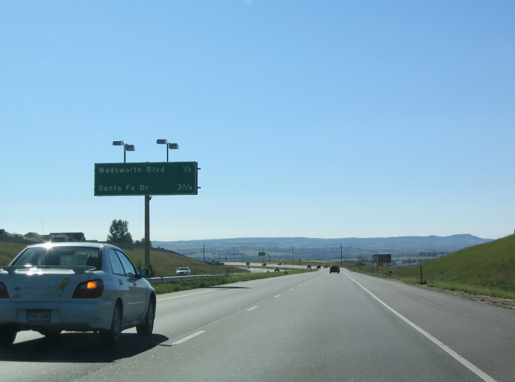
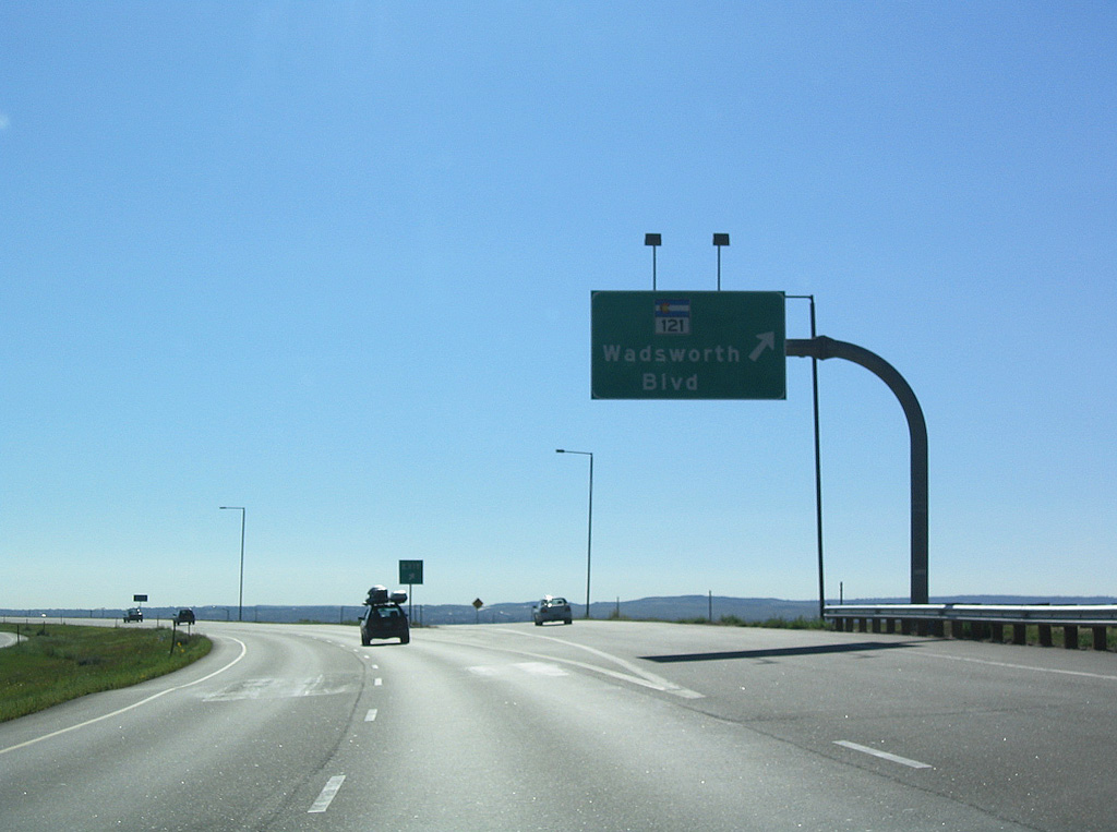
| The succeeding exit lies 1.25 miles ahead at the Meadowbrook Heights community. Meeting C-470 there is SH 121, a nearly 31 mile route from the south end of Wadsworth Boulevard at the Lockheed Martin plant, to U.S. 287 in Broomfield. 09/01/04 |
|
| Diamond interchanges link C-470 with SH 121 (Wadsworth Boulevard) and U.S. 85 in Douglas County. The missing entry implied a connection with SH 75 (S Platte Canyon Road), which is only accessible from westbound at a RIRO intersection. 09/01/04 |
|
| Chatfield State Park spreads to the south of C-470 and east of SH 121. Waterton Canyon lies south from Wadsworth Boulevard along S Platte River Road in Pike National Forest. 09/01/04 |
|
| SH 121 (Wadsworth Boulevard) comprises a controlled access arterial north to neighborhoods including Columbine Knolls, Columbine West and Woodmar Village. 09/01/04 |
|
| Curving northeast around Chatfield Lake, Centennial Parkway straddles the south side of the Columbine Hills community and South Platte Reservoir to a diamond interchange with U.S. 85 (Santa Fe Drive). 09/01/04 |
|
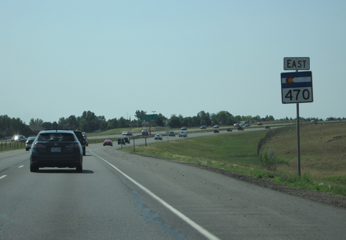
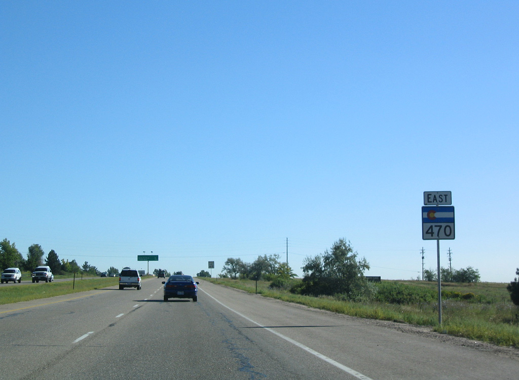
| Reassurance marker posted after Wadsworth Boulevard. Adjacent Chatfield Lake was formed by the creation of a dam along the South Platte River. 09/01/04 |
|
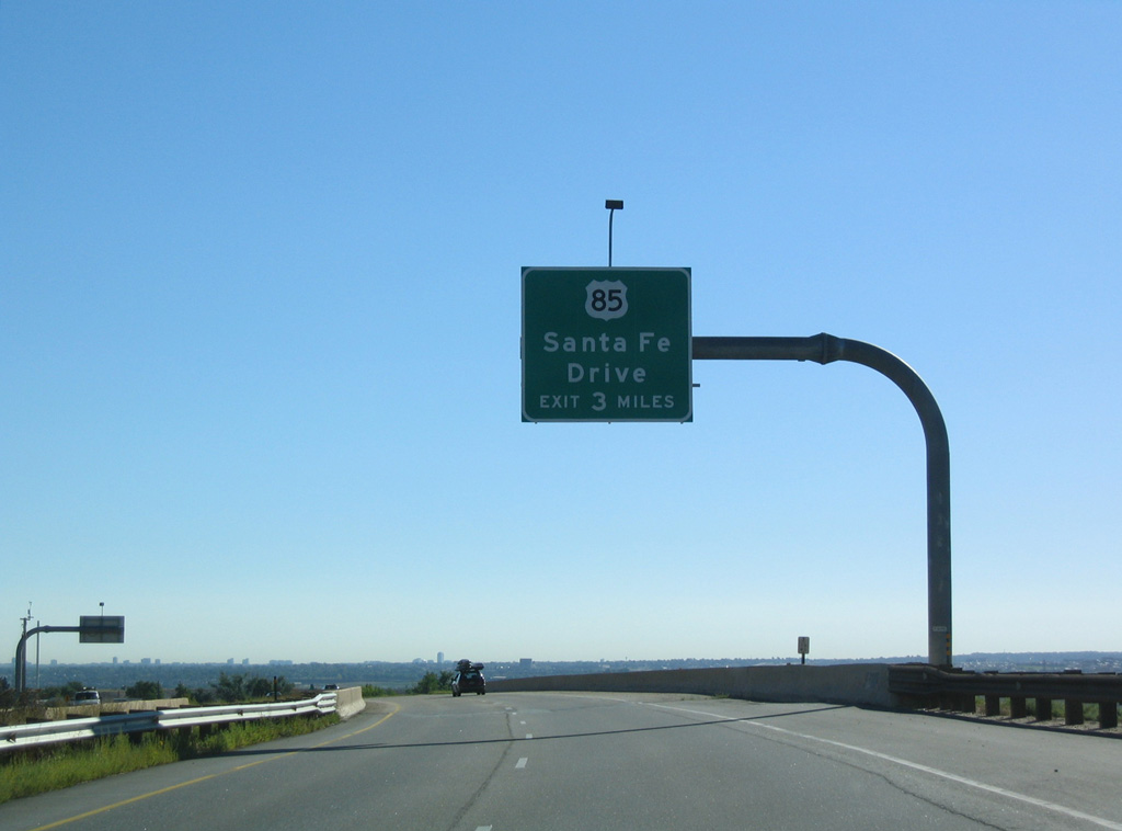
| Continuing east by the south end of SH 75, C-470 and U.S. 85 (Santa Fe Drive) come together in two miles. U.S. 85 parallels the South Platte River north as a well traveled commuter route through Littleton, Englewood and Sheridan to Denver at the Overland neighborhood. 09/01/04 |
|
| Following the Littleton city limits, C-470 briefly enters the southwest corner of Araphoe County ahead of U.S. 85 (Santa Fe Drive). 09/01/04 |
|
| Having crossed both the South Platte River and Douglas County line, C-470 east reaches the exit for U.S. 85 (Santa Fe Drive). Route 085B, the second independent segment of U.S. 85 inventoried by CDOT, travels 26.20 miles overall from I-25 at Baker in Denver south to Sedalia and Founders Parkway in Castle Rock. 09/01/04 |
|
| Succeeding diamond interchanges link C-470 with the north Douglas County community of Highlands Ranch over the course of three miles. 07/04/12 |
|
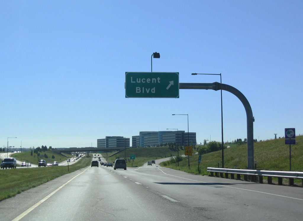
| Lucent Boulevard stems south from County Line Road at McLellon Reservoir to C-470, Highlands Ranch Parkway and South Broadway. The road was named for the telecommunications company. 09/01/04 |
|
| Office buildings in Highlands Ranch Business Park appear along the south side of C-470 as Centennial Parkway advances east one mile to Broadway. 09/01/04 |
|
| C-470 traverses Dad Clark Gulch ahead of Exit 20 for Broadway. 07/04/12 |
|
| Broadway winds south from Exit 20 through Highlands Ranch. North across the Arapahoe County line, Broadway transitions into a commercial arterial through southeast Littleton. 07/04/12 |
|
| County Line Road and Dad Clark Drive parallel C-470 in close proximity east to University Boulevard and SH 177 north. 07/04/12 |
|
| Interchange sequence sign outlining the final three mainline exits from C-470 east. 07/04/12 |
|
| SH 177 is an urban route running 6.11 miles north from C-470 at Highland Ranch to Southglenn in Centennial, Greenwood Village, Cherry Hills Village and U.S. 285 at Wellshire in Denver. 09/01/04 |
|
| Commercialized frontage lines both sides of the 470 beltway east from David A. Lorenz Regional Park to Interstate 25, 3.5 miles ahead in Lone Tree. 09/01/04 |
|
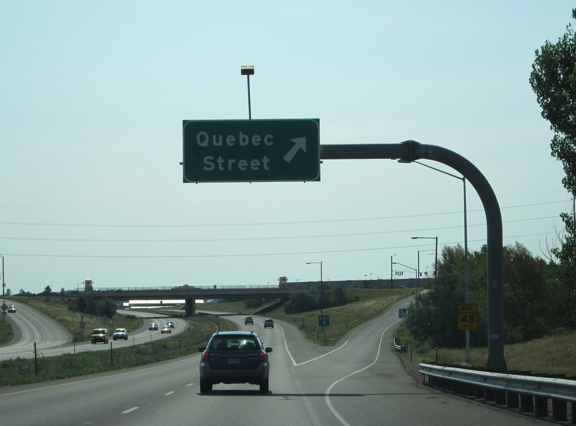
| C-470 crosses Big Dry Creek one mile from the diamond interchange (Exit 24) with Quebec Street. Quebec Street is a discontinuous arterial across Denver. It is best known as the gateway to the former Stapleton International Airport, on the section previously designated SH 35. 07/04/12 |
|
| Quebec Street leads north to Foxridge and Willowcreek in Centennial and south along the Lone Tree city line to east Highlands Ranch and Highland Heritage Regional Park. 07/04/12 |
|
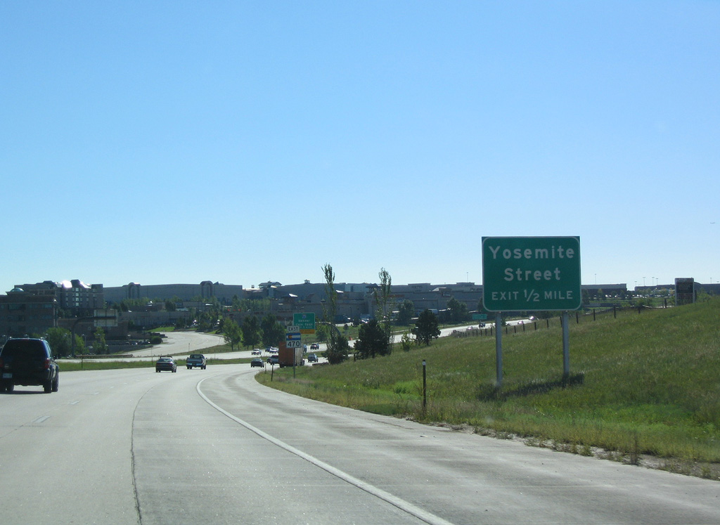
| Exit 25 joins C-470 with Yosemite Street in a half mile. Yosemite Street serves an array of retail and offices west of Interstate 25 in both north Lone Tree and south Centennial. 09/01/04 |
|
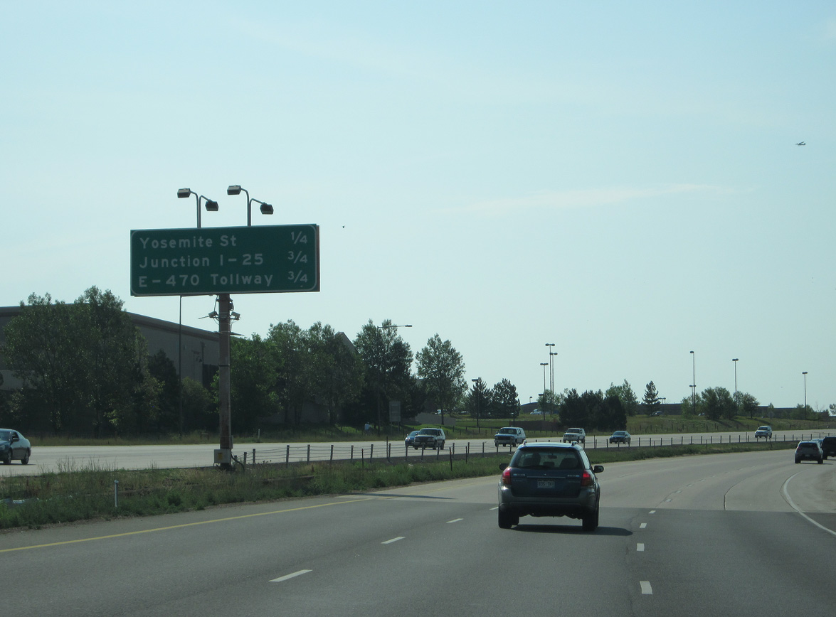
| C-470 east transitions to the E-470 tollway in one mile at the four level interchange (Exit 26) with Interstate 25. 07/04/12 |
|
| A half diamond interchange (Exit 25) provides eastbound only access from C-470 to Yosemite Street. E-470 begins in 0.75 miles. 07/04/12 |
|
| Yosemite Street heads south toward the Acres Green and Heritage Hills neighborhoods and north to Park Meadows mall. 07/04/12 |
|
| 2018-20 construction adding Express Lanes along C-470 included a third lane for Exit 26 to Interstate 25. 09/01/04 |
|
| E-470 advances east from C-470 two miles to Peoria Street south of Centennial Airport (APA). 07/04/12 |
|
| The E-470 beltway provides a high speed and less congested route north to Denver International Airport (DEN) in place of I-25 and I-225 to Peña Boulevard. 07/04/12 |
|
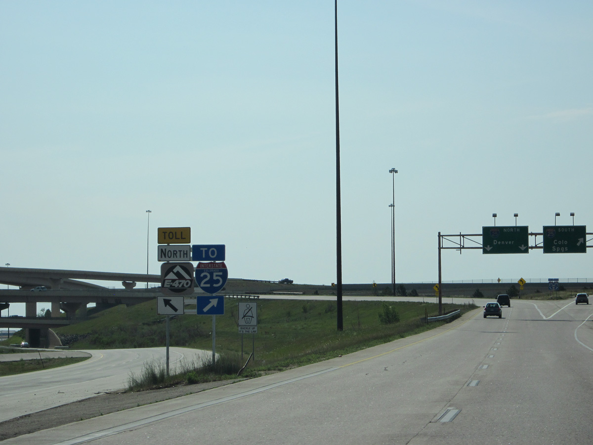
| Exit 26 partitions for both Interstate 25 north to the Denver Tech Center and south to Castle Rock from the beginning of E-470. E-470 uses Limon as the control city for Interstate 70 east from Aurora. 09/01/04 |
|
| E-470 loops 46.40 miles east from I-25 at Exit 194 and I-25 at Exit 228 in Broomfield. 07/04/12 |
|
| Interstate 25 constitutes a heavily traveled corridor north into Denver and south to Castle Rock and Colorado Springs. 07/04/12 |
Page Updated 01-18-2022.

 East
East