
 South
South
07/03/16
07/03/16

The ensuing exit from I-15 south is with Main Street (SR 73) east of the Lehi city center. Lehi incorporated on February 5, 1852 and had a population of 81,022 as of the 2020 Census.
07/03/16

SR 73 formerly ran across Lehi along Main Street west from U.S. 89 (State Street) to Crossroads Boulevard in Saratoga Springs. The route was relinquished west of 850 East when SR 145 was established along Pioneer Crossing to the south.
07/03/16

SR 36 remains designated 35.70 miles west from SR 145 in Saratoga Springs to Eagle Mountain and Cedar Fort, and south around the Oquirrh Mountains between Fairfield and SR 36 in Rush Valley via Fivemile Pass.
07/03/16

Advancing southeast into American Fork, I-15 next meets SR 145 at a DDI (Exit 278). SR 145 is Pioneer Crossing west from Exit 278 to Lehi and Main Street east to U.S. 89 (State Street).
07/03/16

American Fork incorporated June 4, 1853. 21,941 lived in the city as of the 2000 Census and 34,521 as of the 2020 Census.
07/03/16

The segment of SR 145 (Pioneer Crossing) between SR 68 (Redwood Road) in Saratoga Springs and Interstate 15 opened to traffic in August 2010. Saratoga Springs incorporated on December 31, 1997. The city had a population of 1,003 in 2000 and 37,166 in 2020.
07/03/16

07/03/16

08/12/16

SR 145 (Pioneer Crossing / Main Street) travels 6.88 miles overall between SR 73 at the future Mountain View Corridor (SR 85) and U.S. 89 west of Downtown American Fork.
07/03/16

Prior to 2010, Exit 278 was a diamond interchange.
07/03/16

07/03/16

Curving southeast, the succeeding exit from Interstate 15 is with SR 180 (500 East) north in American Fork.
07/03/16

I-15 enters the city of Pleasant Grove, "Utah's City of Trees" at the subsequent exit beyond SR 180. Incorporated on January 18, 1855, Pleasant Grove grew from a population of 23,468 in 2000 to 37,970 in 2020.
07/03/16

07/03/16

SR 180 lines 500 East / 5th Street E just 1.06 miles north from Interstate 15 north to U.S. 89 (State Street).
07/03/16

07/03/16

The diamond interchange at Exit 276 was converted to a DDI in 2012.
07/03/16

07/03/16
08/12/16

07/03/16

A diamond interchange joins Interstate 15 with SR 135 (Pleasant Grove Boulevard) at Exit 275.
07/03/16

07/03/16

SR 135 is a 0.731 mile long route along Pleasant Grove Boulevard west to 2800 W in an industrial area of Lindon, and east to SR 129 (N County Boulevard) at a retail area in Pleasant Grove.
08/12/16

07/03/16

07/03/16

Four exits connect I-15 with the city of Orem. Home to 98,129 as of the 2020 Census, Orem incorporated on May 5, 1919.
07/03/16
The ensuing stretch of I-15 falls within the city of Lindon. Incorporated on March 5, 1924, Lindon had a population of 11,397 as of the 2020 Census.
07/03/16

07/11/15
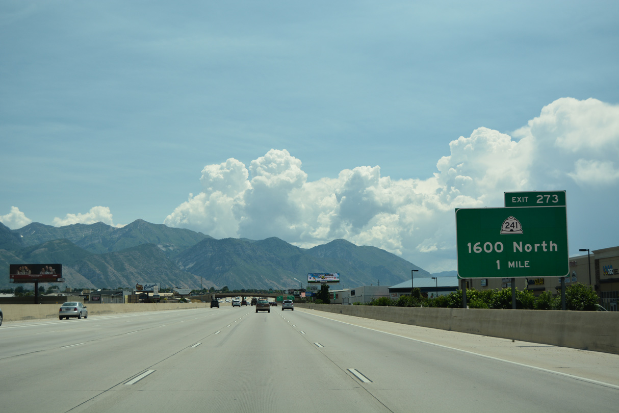
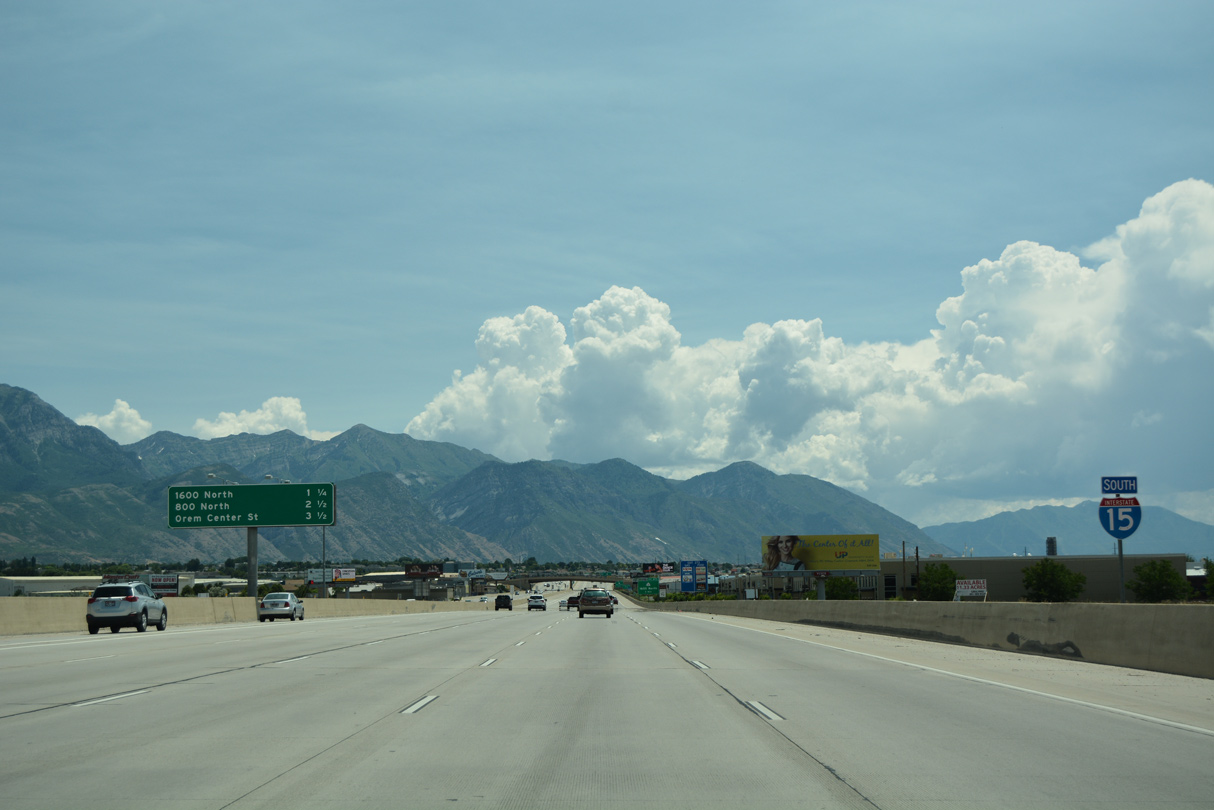
SR 241 (1600 North) straddles the Lindon and Orem city line through the diamond interchange at Exit 273.
07/03/16
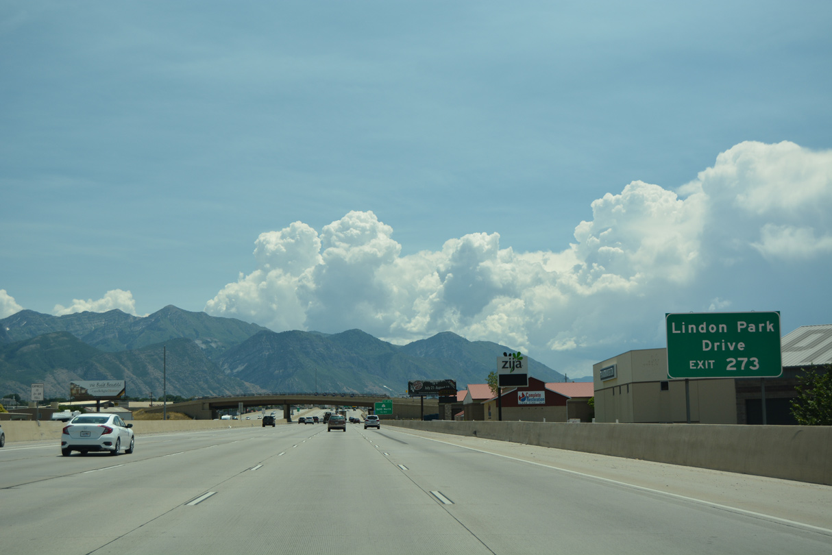
Lindon Park Drive stems north from SR 241 (1600 N) on the east side of the exchange with I-15 to big box retail, auto dealerships and an office park.
07/03/16

SR 241 (1600 North) links I-15 with SR 114 (Geneva Road) just west of I-15 at the Vineyard city line. SR 114 parallels I-15 southward to Exit 265.
07/03/16

Measuring just 1.56 miles in length, SR 241 (1600 N) continues east from I-15 to U.S. 89 (State Street) in Orem.
07/03/16

07/03/16

07/03/16

07/03/16
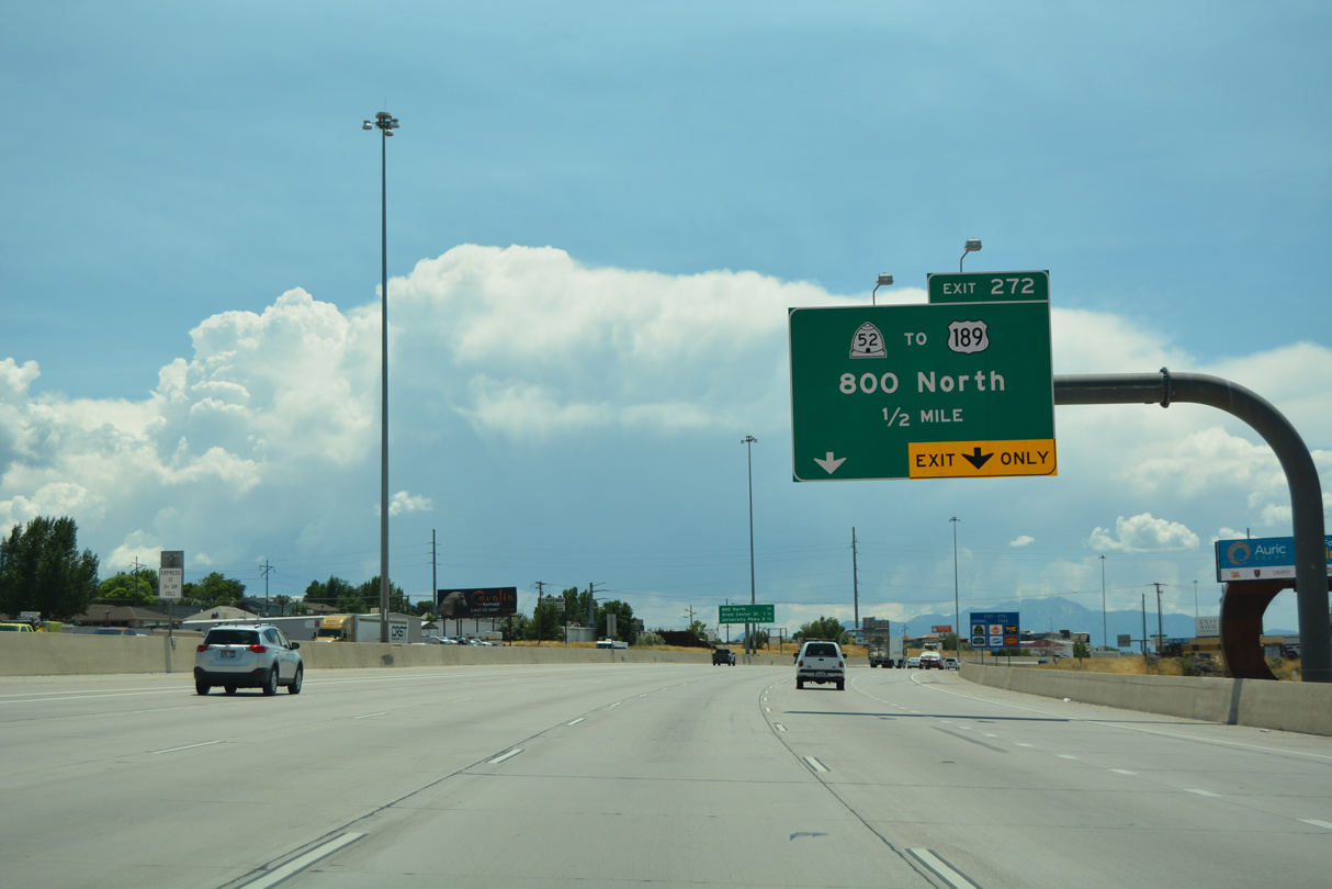
Classified as a principle arterial, SR 52 (800 North) runs 3.71 miles across Orem east from Exit 272 to U.S. 189 at the entrance to Provo Canyon.
07/03/16

07/03/16

West from the SPUI (Exit 272) with I-15, SR 52 (800 North) extends 0.41 miles to SR 114 (Geneva Road) at SR 176 (Vineyard Connector). SR 176 spurs 1.05 miles west across the redevelopment site where the Geneva Steel Plant was located.
07/03/16

U.S. 189 proceeds northeast from SR 52 in Orem along the Provo Canyon Scenic Byway to sites such as Bridal Veil Falls, Sundance ski resort and Deer Creek Reservoir State Park.
08/12/16

U.S. 189 travels northeast through Provo Canyon to Heber City, where it meets U.S. 40. The remainder of U.S. 189 north in Utah to Evanston, Wyoming is unmarked.
08/12/16
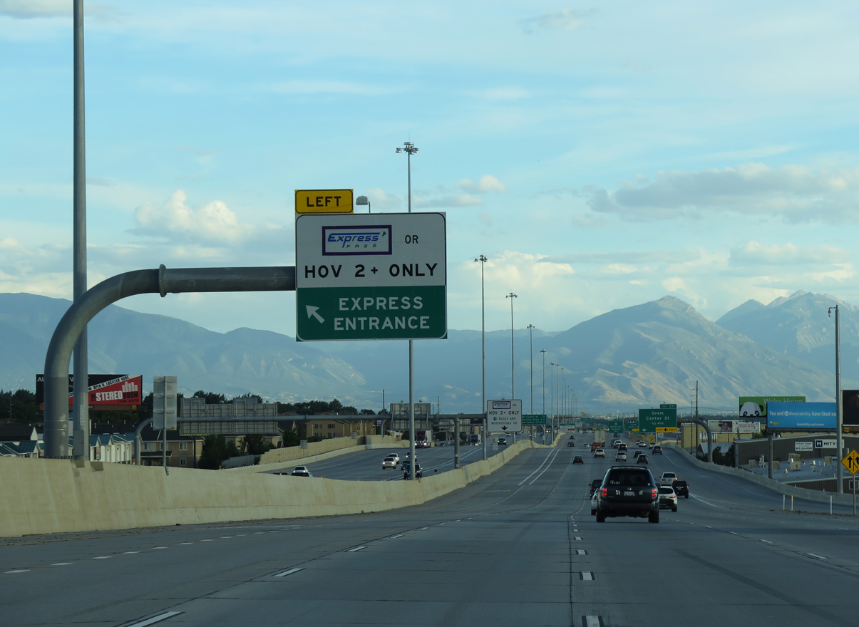
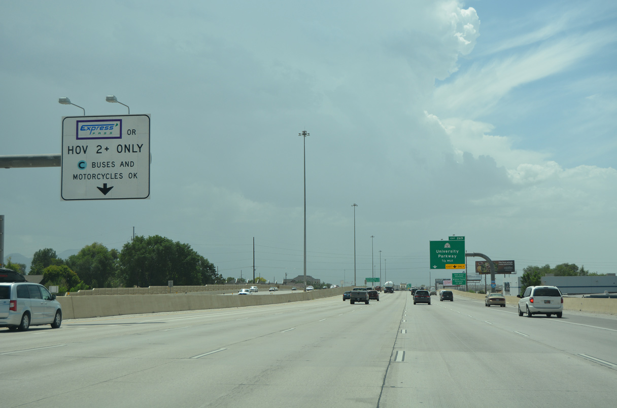
The I-15 Express Lane ended south in Orem until 2011.
07/11/15

08/10/16

Center Street is an arterial running 5.56 miles east from SR 145 (Geneva Road) to the Orem city center and into north Provo as 4800 North.
07/03/16

08/10/16
08/10/16

The original diamond interchange at Exit 271 was converted into a SPUI.
08/10/16

08/10/16
08/10/16
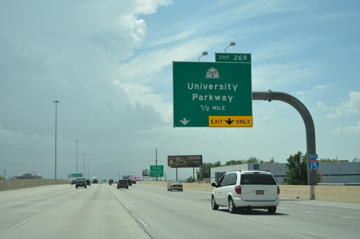
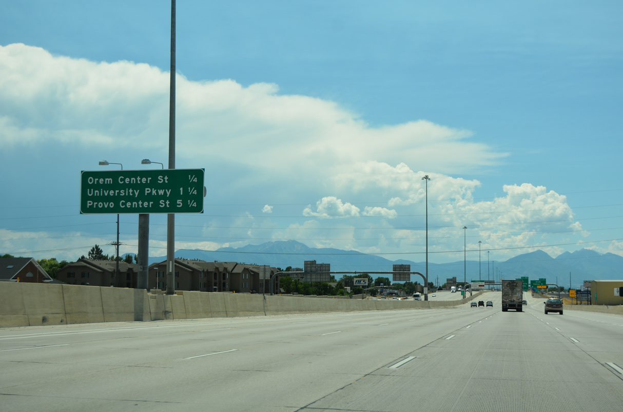
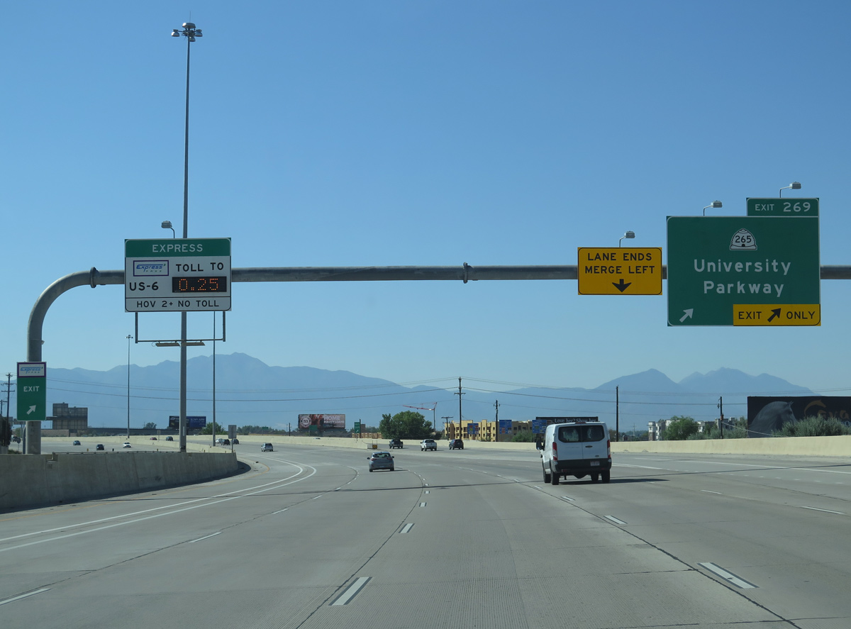
SR 265 (University Parkway) is four to six lane arterial from SR 114 (Geneva Road) in Orem east 4.34 miles to U.S. 89 (University Avenue) in Provo.
08/10/16
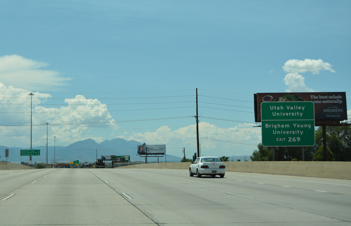
Located just east of Exit 269, Utah Valley University is a public university that was known as Utah Valley State College until July 2008, when it was elevated to university status. Brigham Young University, a private university owned and operated by the Church of Jesus Christ of Latter Day Saints, lies beyond the east end of SR 265.
07/03/16

08/10/16
Entering the SPUI with SR 265 (University Parkway) on Interstate 15 south at Exit 269.
08/12/16

07/03/16

07/11/15

07/03/16
07/03/16

07/03/16

07/03/16

07/03/16

Originating north at U.S. 89 in Pleasant Grove, SR 114 constitutes a 10.94 mile long loop south along Geneva Road to Center Street in Orem, and east to U.S. 89 (500 West) outside Downtown Provo.
07/03/16

Center Street extends 2.07 miles west from SR 114 to Utah Lake State Park and east 1.41 miles through Downtown Provo to Peaks Ice Arena by Splash Summit Waterpark (formerly Seven Peaks).
07/03/16

"Making Life Better", the city of Provo had a population of 115,162 as of the 2020 Census and incorporated in April 1850. The city sits at an elevation of 4,551 feet above sea level.
08/10/16

Center Street connects with Lakeview Parkway south to Provo Airport (PVU).
07/03/16

Originally a directional cloverleaf interchange connected I-15 with SR 114 (Center Street) at Exit 265.
07/03/16

Converted to a split diamond interchange in 2011, Exit 265 ties into SR 114 (Center Street) west of Draper Lane.
07/03/16

SR 114 (Center Street) partitions along the adjacent service roads at Exit 265, with eastbound taking a flyover.
08/25/14

08/10/16
08/10/16

07/03/16

Exit 263 is the south end of U.S. 189. U.S. 189 travels north through Provo and Orem, then northeast into Provo Canyon to Bridal Veil Falls and Deer Creek Reservoir.
07/03/16

U.S. 189 combines with U.S. 40 along an unmarked overlap north from Heber City and turns north toward Park City. U.S. 189 continues along I-80 to Evanston, Wyoming, where it branches north to Kemmerer and Big Piney. U.S. 189/191 combine north from Daniel to the town square in Jackson.
07/03/16

The trumpet interchange (Exit 263) with U.S. 189 north was altered with a signalized intersection when the Lakeview Parkway opened west from 1860 South in October 2016.
07/03/16

U.S. 189 travels 28.83 miles north from Exit 263 to U.S. 40 in Heber City.
07/03/16

Photo Credits:
08/25/14, 07/11/15, 07/03/16, 08/10/16, 08/12/16 by AARoads
Connect with:
U.S. 89
U.S. 189
State Route 92
Page Updated 02-18-2022.