

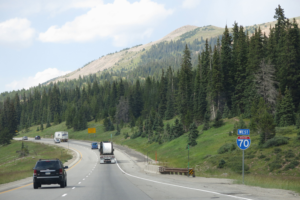
 West
West
Interstate 70 bypasses Frisco to the northwest along Chief Mountain.
08/15/13

The Frisco business loop returns to I-70 west from SH 9 (Summit Boulevard) 1.06 miles to the diamond interchange at Exit 201.
08/15/13

Main Street east from Exit 201 into the Frisco business district is old U.S. 6. A project underway as of January 2006 redeveloped and added streetscape elements to Main Street.
08/15/13

Paralleling Tenmile Creek, Interstate 70 curves southwest between Wichita Mountain and the northern slope of Tenmile Range.
08/15/13
08/15/13
A series of S-curves leads I-70/U.S. 6 south past Uneva Lake.
08/15/13

The next exit along westbound I-70/U.S. 6 is for Officers Gulch Road.
08/15/13

Officers Gulch Road leads to recreational access at Officers Gulch Pond, just west of Exit 198.
08/15/13

08/15/13

08/15/13
08/15/13

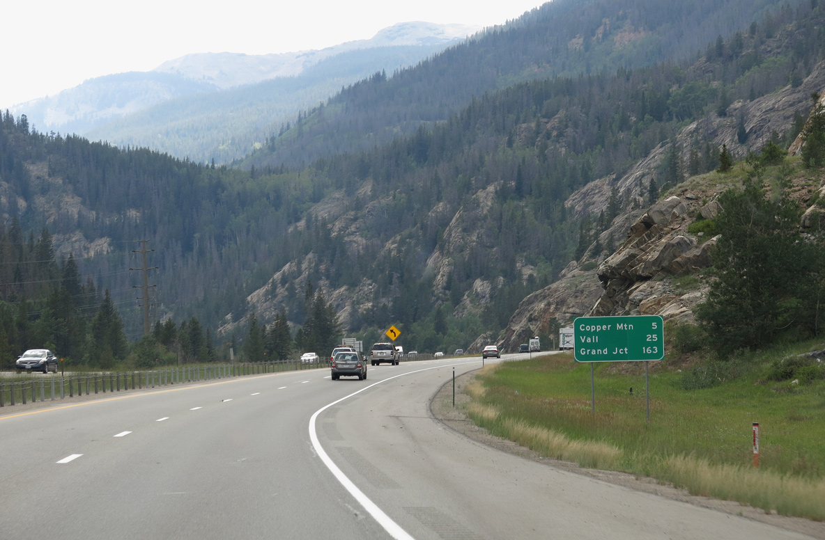
SH 91 constitutes a 22.61 mile long highway south from Exit 195 at Copper Mountain to Fremont Pass (elevation 11,318 feet), Climax and U.S. 24 at Leadville.
08/15/13

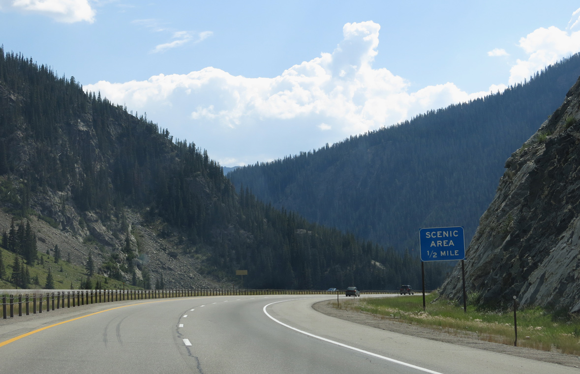
Located within Arapaho National Forest, a westbound scenic view area is near milepost 196.
08/15/13

SH 91 south to Leadville was historically part of U.S. 6. U.S. 24 extends south from SH 91 to SH 82 at Balltown. SH 82 crosses the Sawatch Range over Independence Pass to Aspen, eventually meeting I-70 at Exit 116.
08/15/13

Jacque Peak, Union Mountain and Copper Mountain rise south of the trumpet interchange (Exit 195) at Wheeler Junction joining I-70/U.S. 6 with SH 91.
08/15/13

While not a town or city, Copper Mountain is a world class ski resort located just south of I-70. Aside from Vail, Copper Mountain is one of the most readily visible resorts found directly along Interstate 70.
08/15/13

Several of the ski runs that course down Copper Mountain appear as I-70/U.S. 6 turn west at Wheeler Flats.
08/15/13

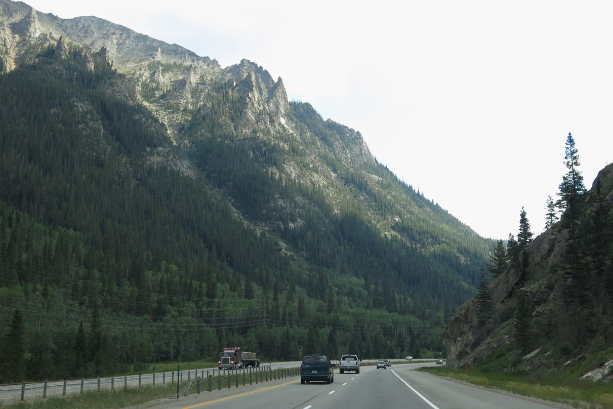
Interstate 70 follows West Tenmile Creek upstream until it reaches Vail Pass at an elevation of 10,666 feet above sea level. While lower than the Eisenhower Tunnel summit near Loveland Pass, Vail Pass is still an extremely high summit for any Interstate highway.
08/15/13

West Tenmile Creek flows between the roadways for Interstate 70 by Smith Gulch.
08/15/13

I-70/U.S. 6 cross Corral Creek east of Wilder Gulch.
08/15/13

Exit 190 references the CDOT Vail Pass Rest Area. Shrine Pass Road stems west from I-70/U.S. 6 to Shrine Pass (el. 11,089 feet), becoming Eagle County Route 16 (Turkey Creek Road) en route to U.S. 24 at Red Cliff.
08/15/13

The off freeway rest area at Exit 190 replaced a nearby facility on the mainline. The former area was repurposed for a Colorado Department of Transportation maintenance building.
10/18/04

An access road stems north from Shrine Pass Road along the west side of Interstate 70 to Black Lake No. 1 and No. 2.
11/08/03

The Eagle County line crosses Interstate 70 within the diamond interchange at Exit 190.
08/15/13

Honoring the 38th President of the United States, Interstate 70 through Eagle County is the Gerald R. Ford Memorial Highway.
08/15/13
08/15/13

08/15/13

Interstate 70 reaches the summit of Vail Pass (elevation 10,666 feet) adjacent to the Gore Range and just ahead of Black Lake No. 1.
08/15/13

The downslope from Vail Pass leads eight miles northwest along the Gore Range.
08/15/13

Usually Interstate Standards call for a maximum grade of 6%. A federal waiver allowed Interstate 70 to exceed this standard due to the difficult engineering of this terrain.
08/15/13
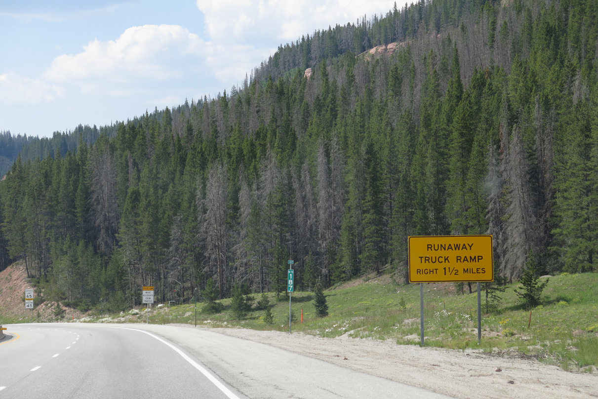
The first runaway truck ramp in Eagle County is located near the confluence of Polk Creek with parallel Black Gore Creek.
08/15/13

Interstate 70 lowers at a 7% grade through White River National Forest.
08/15/13
08/15/13

08/15/13

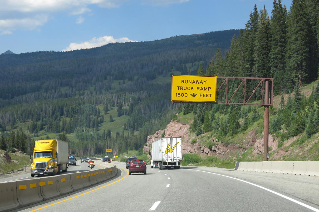
The second of the two runaway truck ramps between Vail Pass and the town of Vail follows a bridge spanning Black Gore Creek at milepost 182.5
08/15/13

Peaks in the Gore Range come into view ahead of Vail.
08/15/13
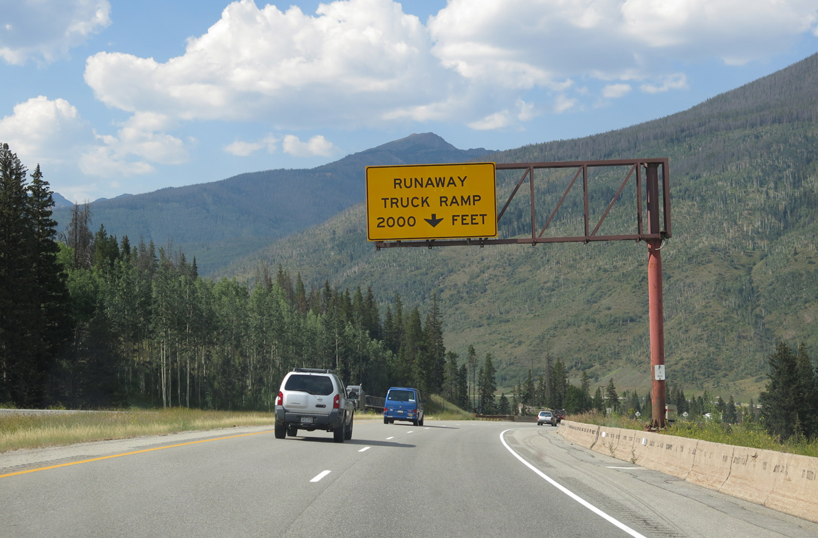
Part of the $164.2 million I-70 West Vail Pass Auxiliary Lanes Project, the runaway truck ramp near Vail was rebuilt along a straighter alignment with a settlement basin added beneath to catch any type of hazardous materials.1
08/15/13

The improved runaway truck ramp near Vail opened following a ceremony held on December 6, 2021.1
08/15/13

The first of three exits from Interstate 70 to the town of Vail is with Big Horn Road. Home to the Colorado Ski Museum and Hall of Fame, Vail sits at 8,150 feet above sea level and was home to 4,835 as of the 2020 Census.
08/15/13

An old alignment of U.S. 6, Bighorn Road ties into I-70/U.S. 6 at a diamond interchange (Exit 180) north from the community of Bighorn.
08/15/13
Interstate 70 continues west between the southern slope of Bald Mountain and Vail Golf Course.
08/15/13

A dumbbell interchange joins I-70/U.S. 6 with Vail Road south and the adjacent Frontage Roads at Exit 176.
08/15/13

Vail Road leads south to the sprawling Vail Mountain Ski Resort complex.
08/15/13

Vail is a very linear town, with much of the development hemmed in by Interstate 70 on the north side and Vail Mountain on the south side. The S Frontage Road leads to Lionshead and Vail Village and the N Frontage Road to West Vail.
10/18/04
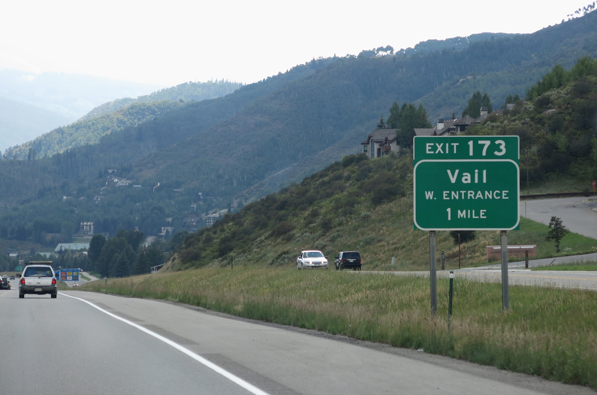
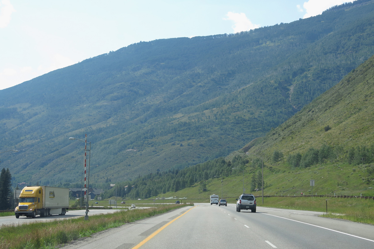
I-70/U.S. 6 advance to Exit 173 for Chamonix Road at West Vail.
08/15/13

08/15/13

Chamonix Road, the Frontage Road system and the ramps at Exit 173 tie into six leg roundabouts on either side of Interstate 70.
10/18/04
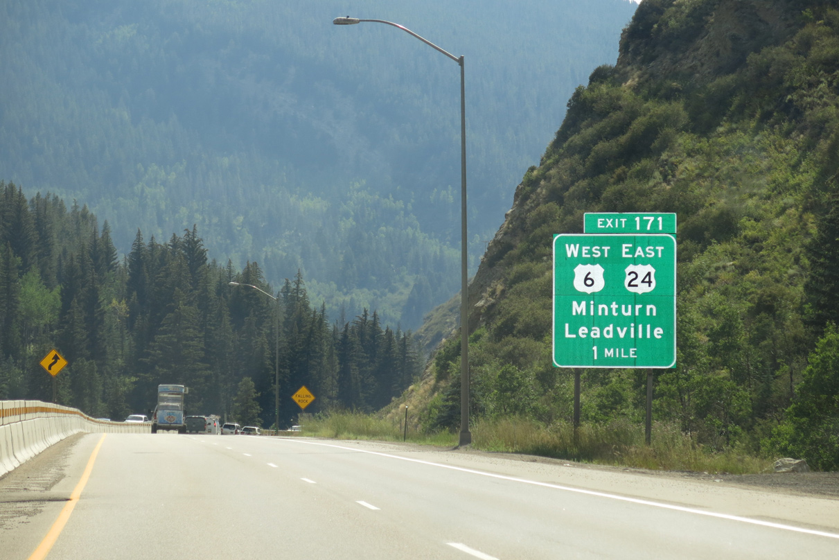
I-70/U.S. 6 leave world famous Vail for Dowds Junction and Exit 171 with the west end of U.S. 24. U.S. 24 originates in Detroit, Michigan and previously met I-70 at Limon.
08/15/13

The folded diamond interchange (Exit 171) with U.S. 24 east lies just beyond a pronounced rock cut at the Eagle River.
08/15/13

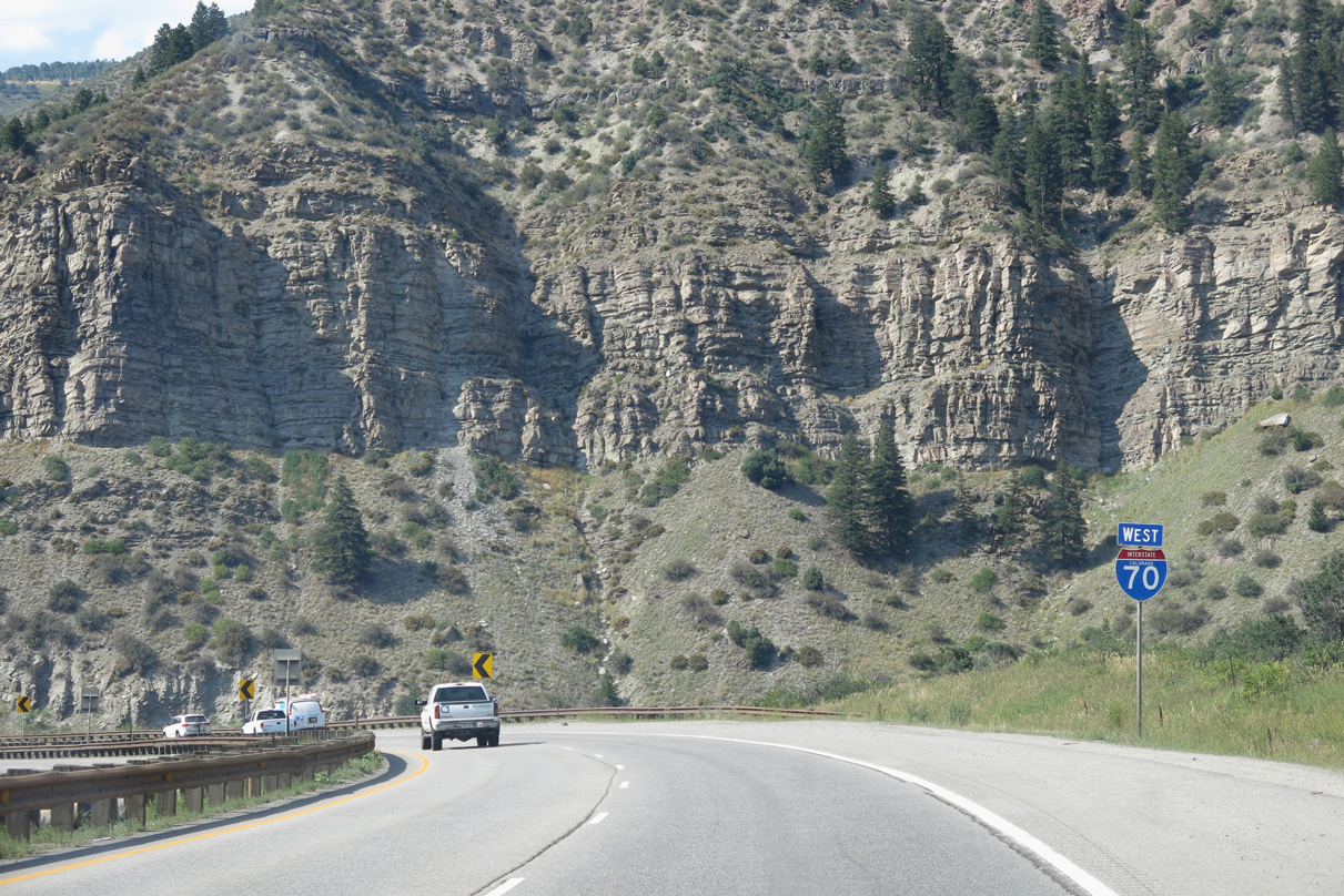
U.S. 6 parts ways with I-70 west at Exit 171. U.S. 6 along Route 006E runs 24.82 miles west to Avon, Edwards and Eagle.
08/15/13

Heading south into the town of Minturn, U.S. 24 eastbound travels to Gilman, Red Cliff, Tennessee Pass (elevation 10,424 feet) and Leadville. Beyond the Lake County seat, U.S. 24 continues to Buena Vista and Colorado Springs.
08/11/16
West
Black Gore Creek converges with the Eagle River at Exit 173. I-70 and U.S. 6 follow the Eagle River west past Avon, Edwards and Eagle until it flows into the Colorado River.
08/15/13
Prior to 1975, U.S. 24 continued west along U.S. 6 to Grand Junction.
08/15/13

A half diamond interchange at Exit 169 joins I-70 westbound with U.S. 6 at the unincorporated community of Eagle-Vail.
08/15/13

08/15/13

08/15/13

Crossing the Eagle River north of U.S. 6, Interstate 70 westbound enters the town of Avon at Eagle Valley.
08/15/13
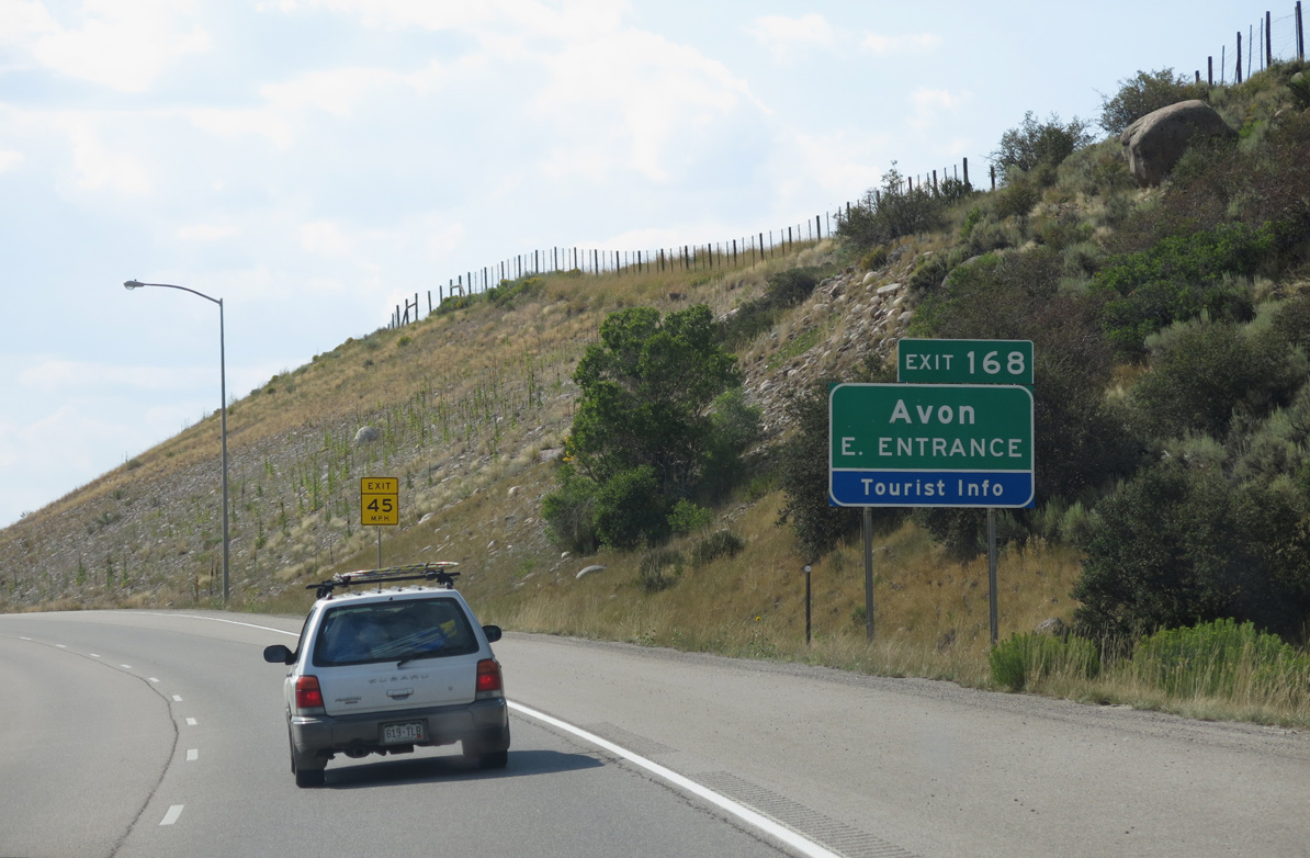
Opened in 2003, the dumbbell interchange at Exit 168 connects Interstate 70 with William J. Post Boulevard to adjacent big box retail. Six roundabouts line the arterial west to parallel Beaver Creek Boulevard and U.S. 6 and east to Swift Gulch Road.
08/15/13

Forthcoming Avon Road south from Exit 167 to U.S. 6 was unsigned Business Spur I-70 until 1999.2 The "Heart of the Valley", Avon is located near another major ski area, Beaver Creek Resort.
08/15/13

Avon Road links I-70 with parallel Nottingham Road to the north and U.S. 6 at Village Road to Beaver Creek south across the Eagle River.
08/15/13

The roundabouts at the dogbone interchange (Exit 167) with I-70 are two of six along Avon Road. Replacing intersections, the roundabouts were implemented along the half mile stretch in 1997.3
10/18/04

Sources:
- CDOT opens improved runaway truck ramp on I-70. KUSA-TV9 (Denver, CO), December 7, 2021.
http://www.mesalek.com/ colo/brinter.html#b70.- Avon Roundabouts. TeachAmerica (National Roundabout Conference).
Photo Credits:
11/08/03, 10/18/04, 08/15/13, 08/11/16 by AARoads
Page Updated 01-22-2022.