Paradise Road extends from McCarran International Airport (LAS) north to Sahara Avenue (former SR 589) and Las Vegas Boulevard. The section of Paradise Road between Harmon Avenue and the northern entrance to the airport is one-way southbound. Paradise Road was formerly designated as State Route 605, but the designation was eliminated in 2001.
|
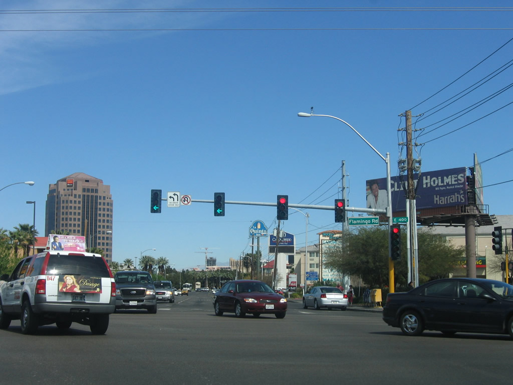
| Paradise Road (former SR 605) northbound at the intersection with Flamingo Road (SR 592 east). The Las Vegas Wells Fargo Bank building is visible in the distance 04/02/06 |
|
| Paradise Road north at Corporate Drive, which links the arterial with Howard Hughes Parkway to the west. 04/02/06 |
|
| Twain Avenue west and Sands Avenue east come together at Paradise Road. Twain Avenue leads east to Boulevard Mall while Sands Avenue transitions into Spring Mountain Road west of Las Vegas Boulevard to Interstate 15. 04/02/06 |
|
| The Las Vegas Monorail uses airspace above Paradise Road between Country Club Lane and the Westgate Las Vegas. The rail line connects the MGM Grand Resort at Las Vegas Boulevard and Tropicana Avenue with the Sahara resort at Las Vegas Boulevard and Sahara Avenue. 04/02/06 |
|
| The 3.9 mile long Las Vegas Monorail joins most of the Strip resorts with southern reaches of the city of Las Vegas. It opened initially between Bally's resort and the MGM Grand in 1995, and the renovated extension to the Sahara resort opened on July 15, 2004. 04/02/06 |
|
| The succeeding traffic light along Paradise Road (old SR 605) northbound is with Edison Circle east. 04/02/06 |
|
| Sierra Vista Drive lines the south side of the Las Vegas Convention Center between Paradise Road and Swenson Street. 04/02/06 |
|
| The Las Vegas Monorail diverges from Paradise Road north into the station at Las Vegas Convention Center. 04/02/06 |
|
| Paradise Road next intersects Desert Inn Road, a major arterial route that provides a fast route across the Strip toward parts of Las Vegas and unincorporated Spring Valley west of Interstate 15. Desert Inn Road east passes under Las Vegas Convention Center ahead of Swenson Street and Maryland Parkway. 04/02/06 |
|
| Convention Center Drive connects Paradise Road with parking lots for the adjacent Las Vegas Convention Center. 04/02/06 |
|
| Continuing north toward the Strat, Paradise Road intersects Elvis Presley Boulevard (former Riveria Boulevard). 04/02/06 |
|
| Paradise Road approaches SLS Las Vegas (formerly the Sahara) north of Elvis Presley Boulevard. 04/02/06 |
|
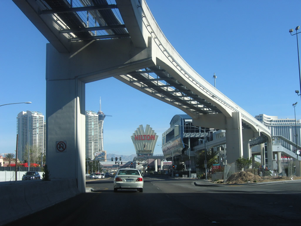
| Paradise Road (old SR 605) passes under Las Vegas Monorail SLS Station midway between the intersections with Karen Avenue east and Sahara Avenue. 04/02/06 |
|
| Northbound Paradise Road leaves unincorporated Clark County and enters the city of Las Vegas at Sahara Avenue (former SR 589). 04/02/06 |
|
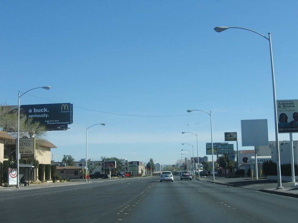
| Paradise Road transitions into a residential area north of Sahara Avenue. 04/02/06 |
|
| Paradise Road concludes with two lanes turning west onto East St. Louis Avenue, one block ahead of Las Vegas Boulevard and Main Street. 04/02/06 |
|
| East St. Louis Avenue ends opposite Main Street north to the Arts District in Las Vegas. Las Vegas Boulevard passes by the Strat one block to the south. 04/02/06 |
Page Updated 04-19-2019.